“There is no such thing as ‘just’ ice.” Not to a glaciologist anyway.
Professor Doug Benn is recounting to us his reply to a reviewer who questioned his use of the term ‘refrozen water ice’. While this may sound superfluous, the many variations in density, temperature, content, layering, and colour of glacier ice can tell us a lot about its history, and potentially, about it’s future.
Prepping the Ground penetrating radar (GPR) on Longyearbreen. GPR is used in glaciology to look at the thickness and structure of a glacier. The GPR is towed across the surface, emitting pulses of energy which pass through the ice. These pulses bounce of the rock underneath the glacier, and are reflected back to the GPR, like an echo when you shout in a valley. The time it takes for this echo to travel back to the GPR tells us how far it has travelled, and hence, how thick the ice is. GPR can also be used to see if there are regions in the glacier that are ‘warm’ i.e. at its melting point, by reflecting off liquid water. The presence of these warm sections in a glacier can tell us about the glacier’s present and past; how it moves, how it used to move, and how its behaviour has changed with time.
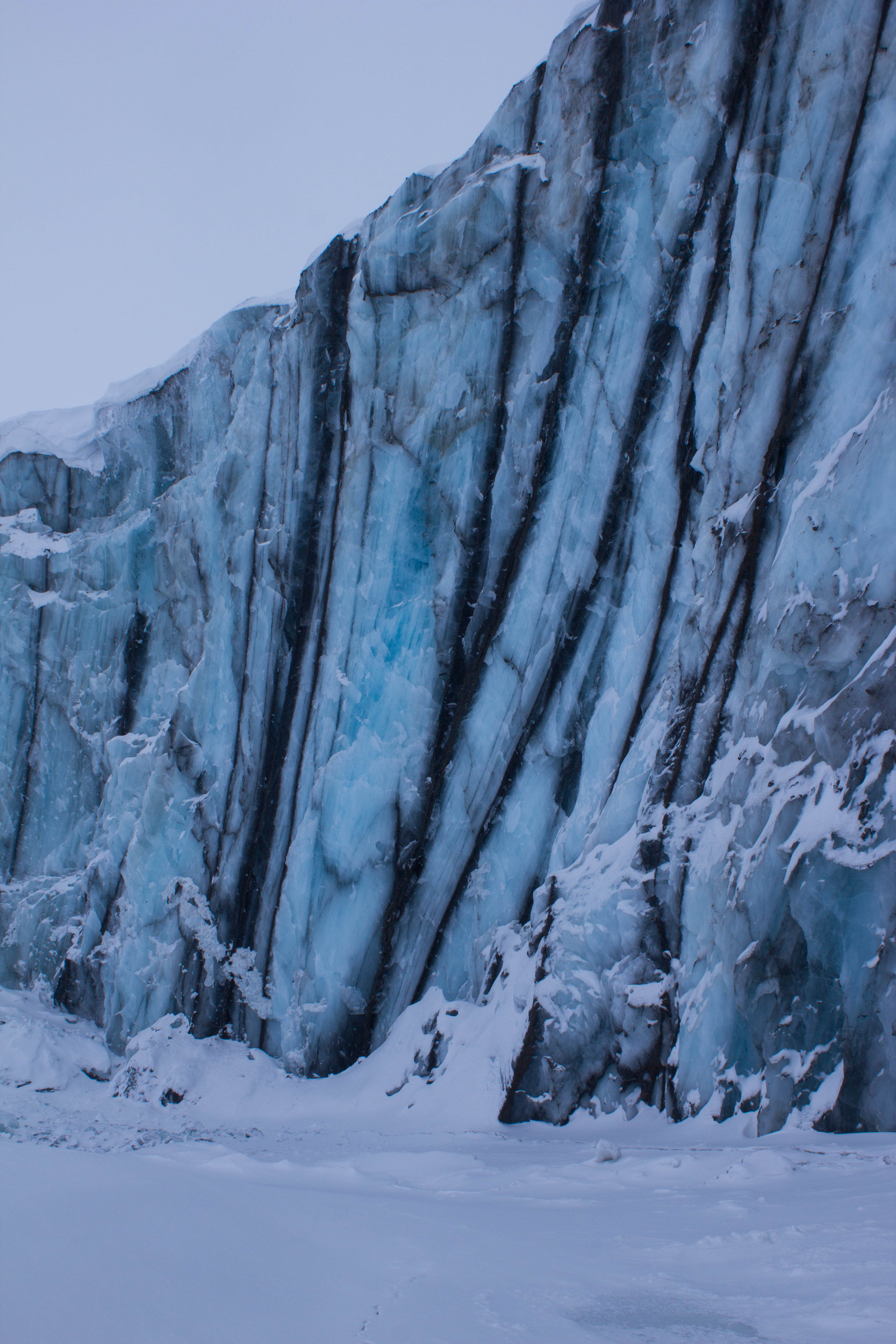
Examining the internal layering and structure of the ice on Larsbreen.
The network of tunnels visible here are formed by the movement of air bubbles in between ice crystals as freezing takes place.
A ship frozen in the sea ice, on the way to Tunabreen
Arriving at the calving front of Tunabreen. Calving is the processes by which chunks of ice break off at the end or ‘terminus’ of a glacier, forming icebergs. We were there during winter, when the sea was frozen. The sea ice acts as a temporary barrier to the glacier, slowing its forward movement, and preventing calving.
Tunabreen is a surge type glacier, meaning that its rate of flow or speed is not constant. Instead, the glacier may move very slowly or remain still for several years, before going through a period of faster flow, known as a surge.
A glacier prayer
Departing Tunabreen
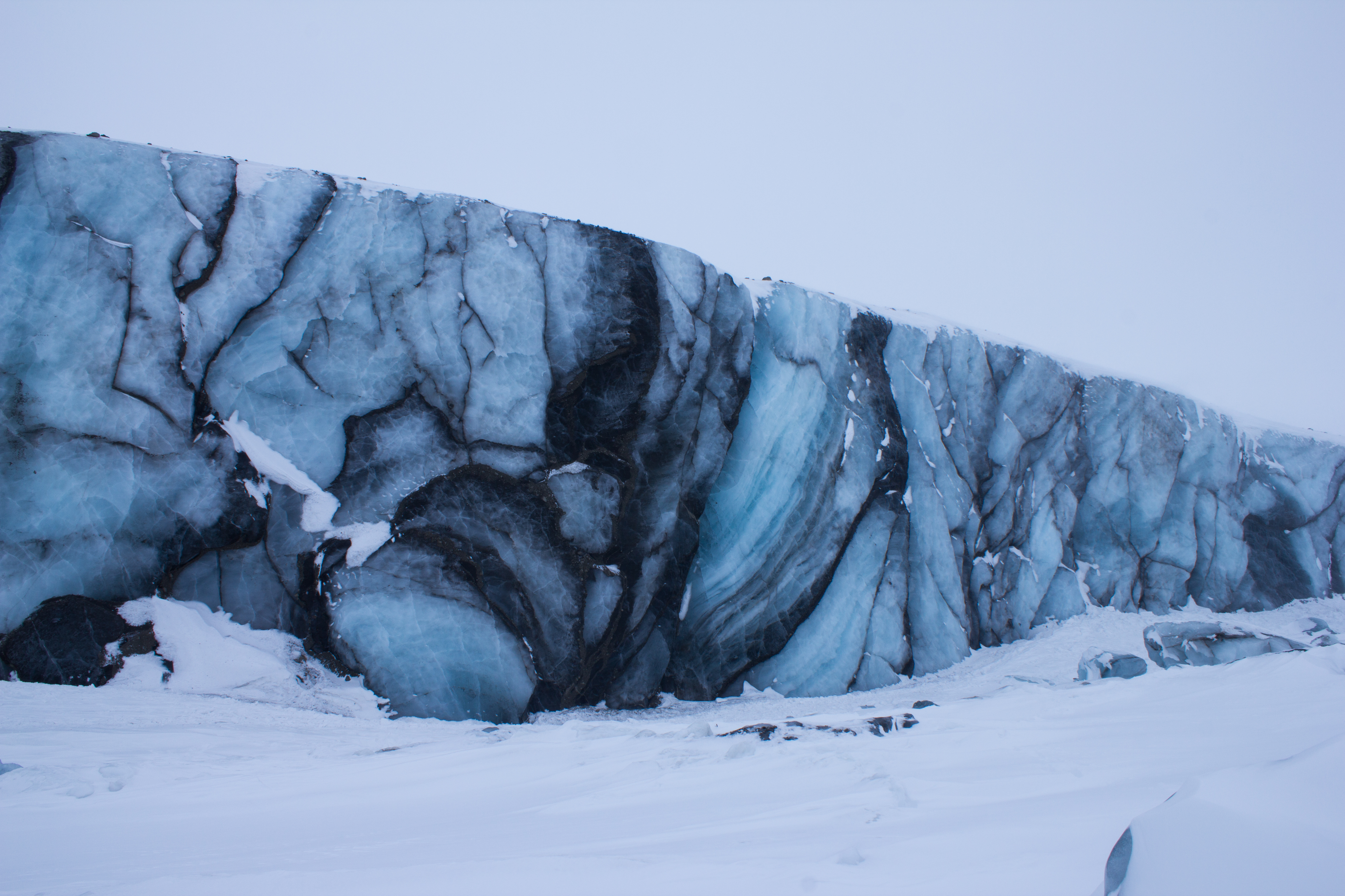
Surge front of Paulabreen
The dark banding visible at the front of Paulabreen is evidence of its surging past. When the glacier was flowing more rapidly, large crevasses (cracks) opened up at the surface and spread downwards. Debris and dust fell into these cracks, and when the crevasses closed again as the glacier flow changed, dark vertical bands of debris mark their former location.
Better to light a candle: an arctic storm led to a power cut on the night before the final exam, leading to some creative lighting.
Morning view after an overnight snow storm
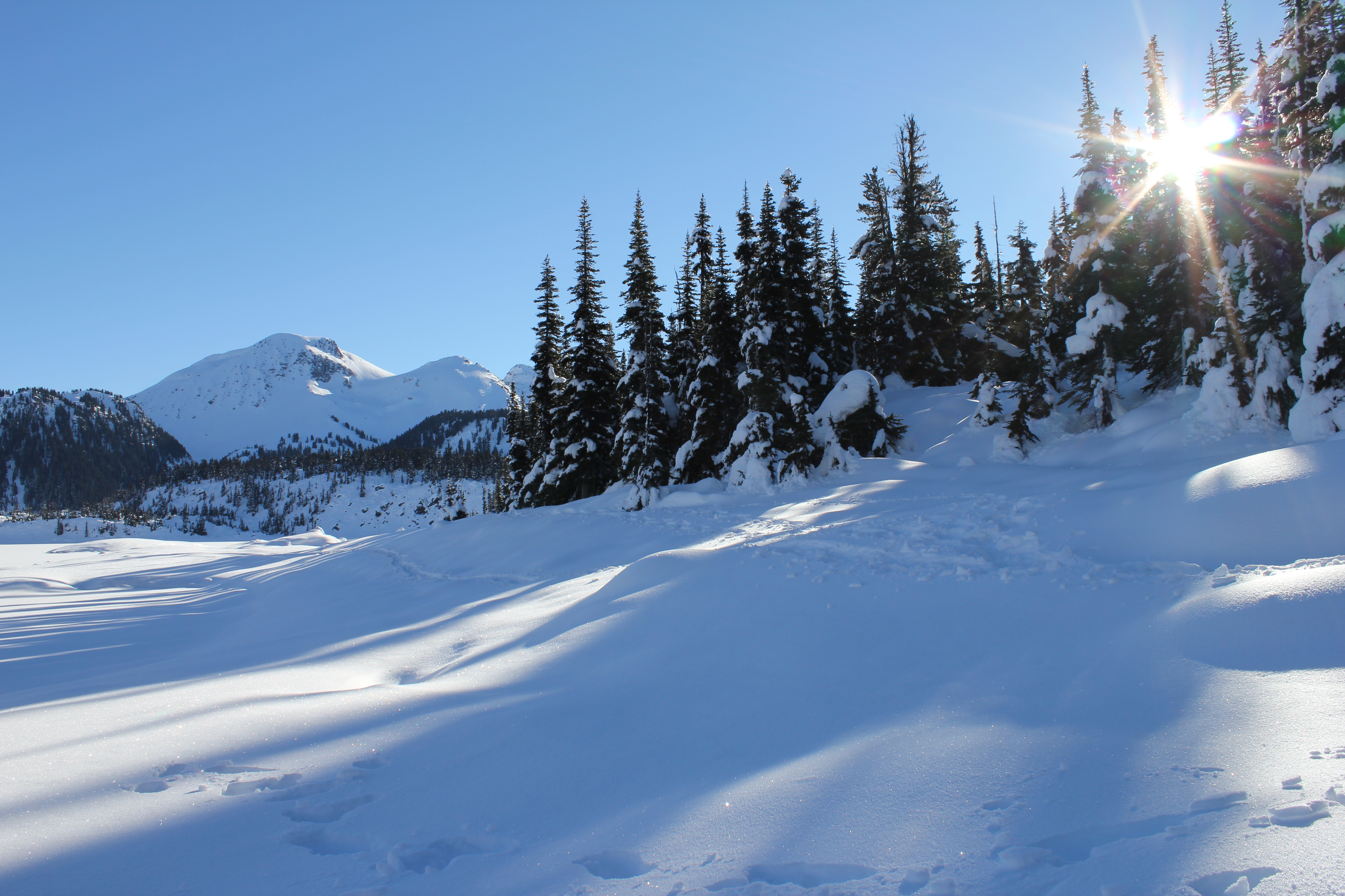
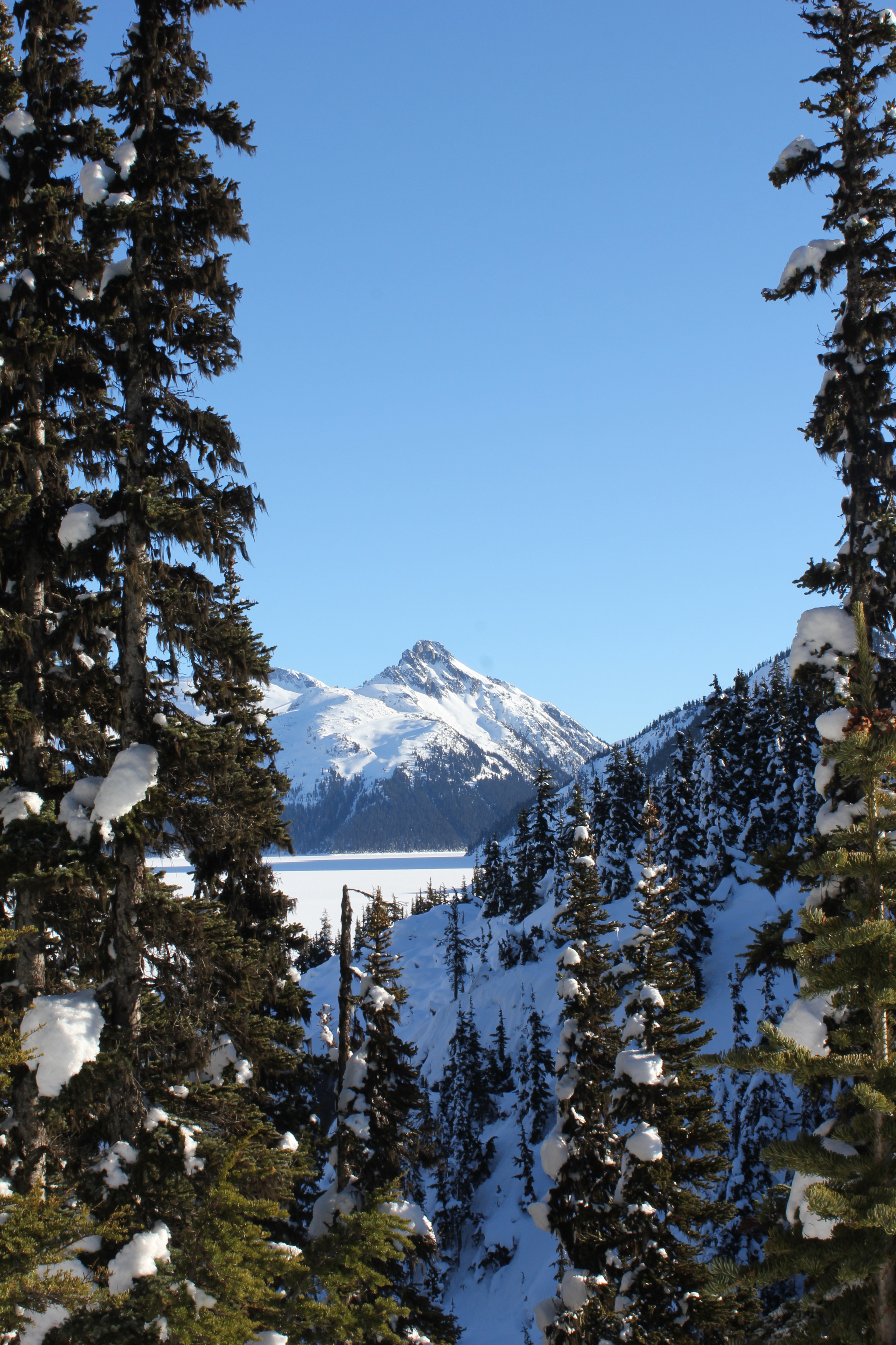
One last venture into the mountains before leaving the Arctic.
Summit ridge of Trollsteinen
Parting gift from Svalbard: dancing aurora on the flight south to Oslo
Glaciology PhDs: amazing experiences, zero glamour. Overnighting at Oslo Airport.
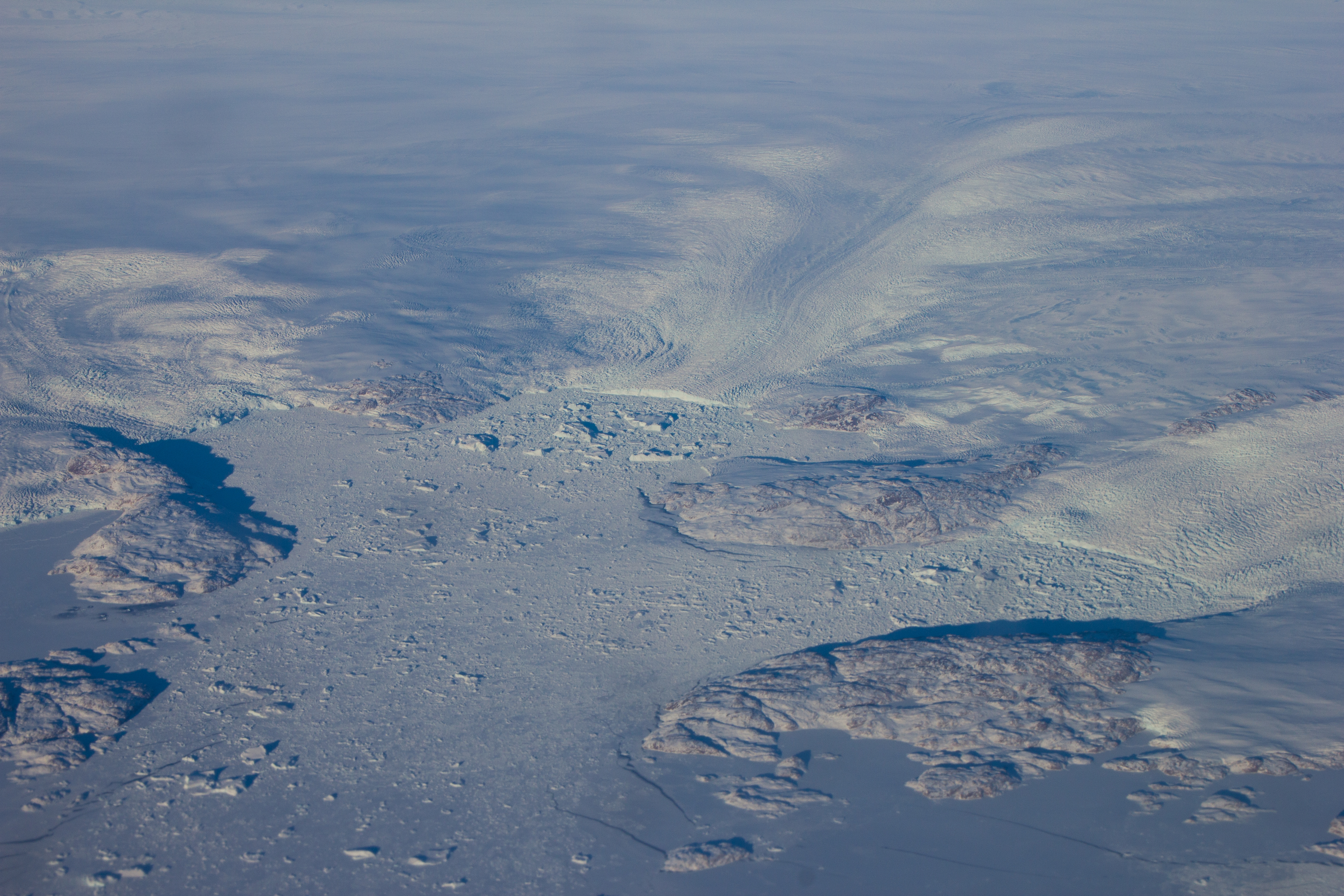
Flying over the enormous glaciers on the west coast of Greenland on my way back to Vancouver, and getting re-inspired for the next adventure.
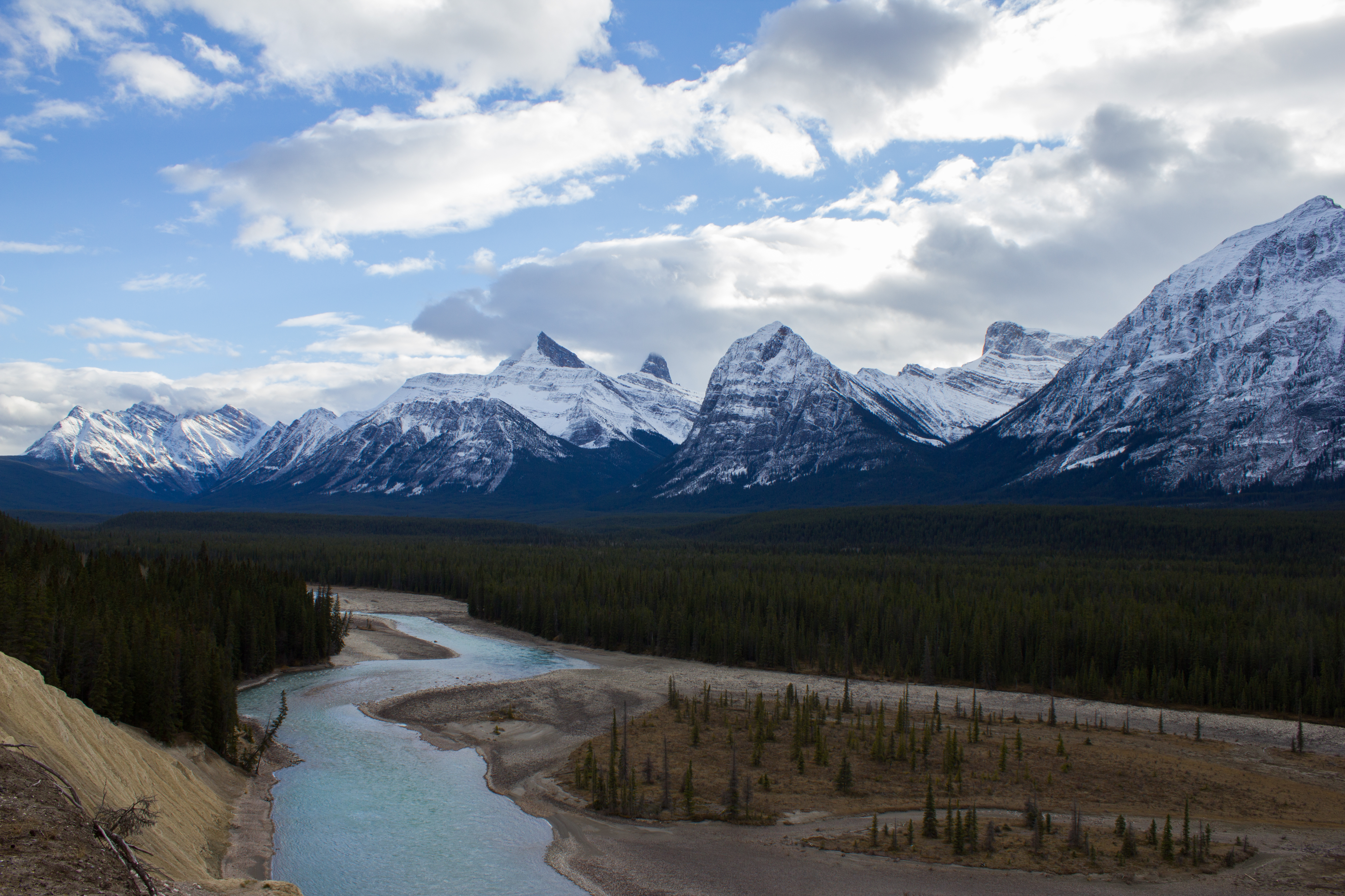
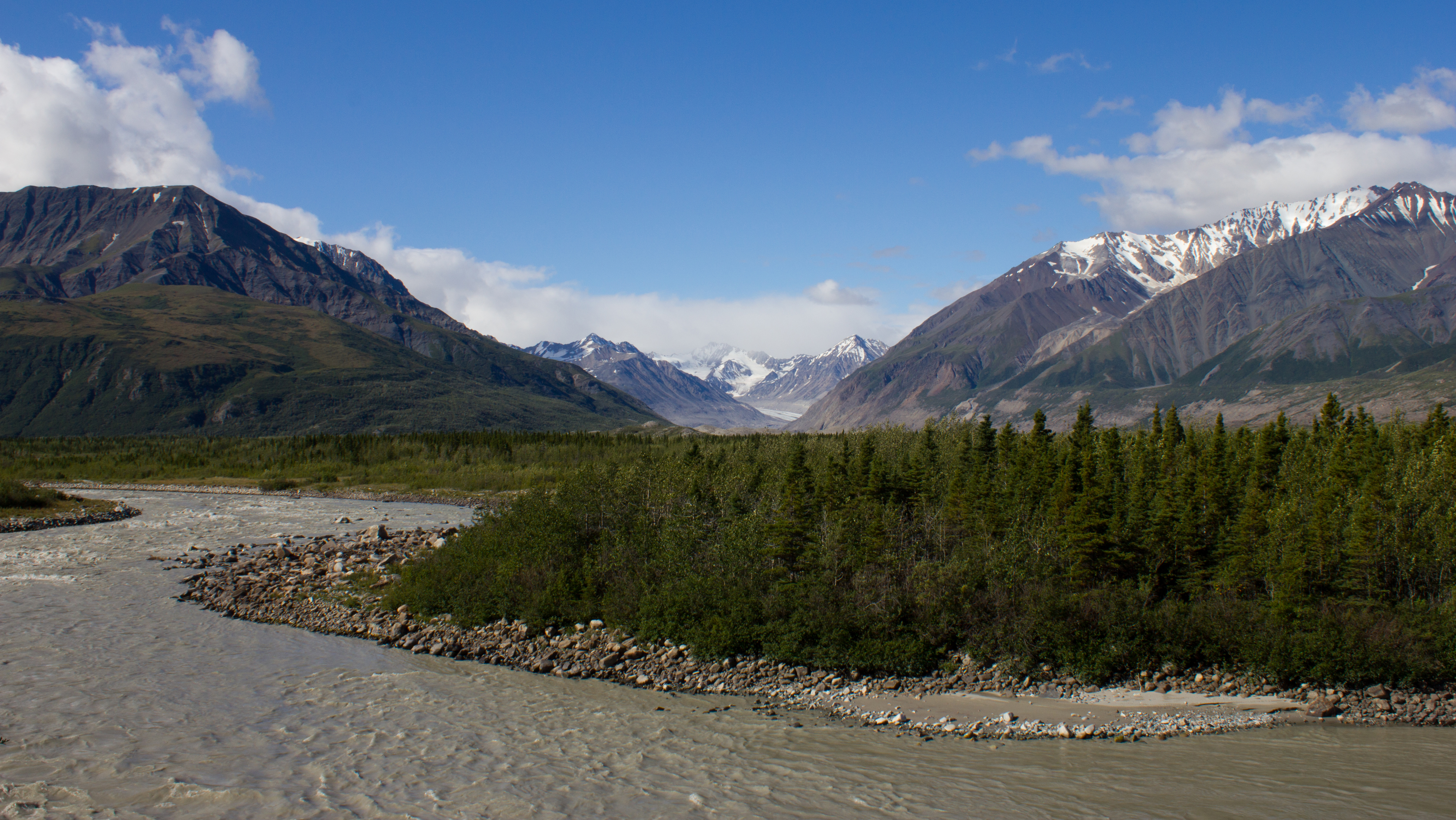
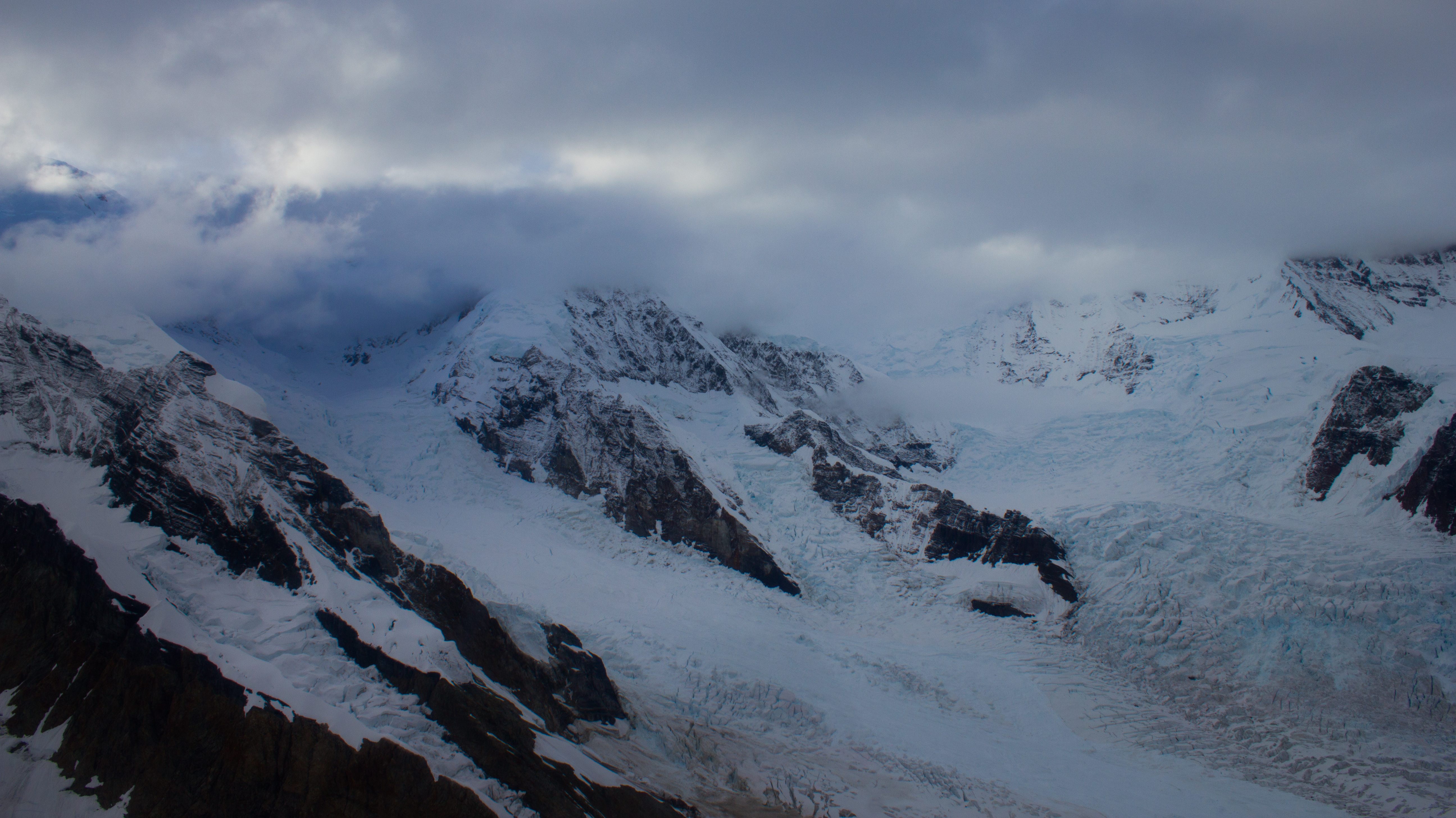
At the beginning of August, I was fortunate enough to take part in the International Glaciology Summer School, in beautiful Alaska. The school is run every two years, directed by Regine Hock of the University of Alaska Fairbanks, and brings together students and instructors from all over the world. Based in the Wrangell mountains, in the old mining village of McCarthy, the school provides an opportunity to learn from experts in a range of fields within glaciology, and perhaps more importantly, provides a platform to engage with and get to know others embarking on research in the science. The 10 days of the course were some of the most enjoyable of my academic career, and I left inspired by the enthusiasm and curiosity of my peers.
Below are images from some of the activities that took place outside of the classroom (click on images to enlarge).
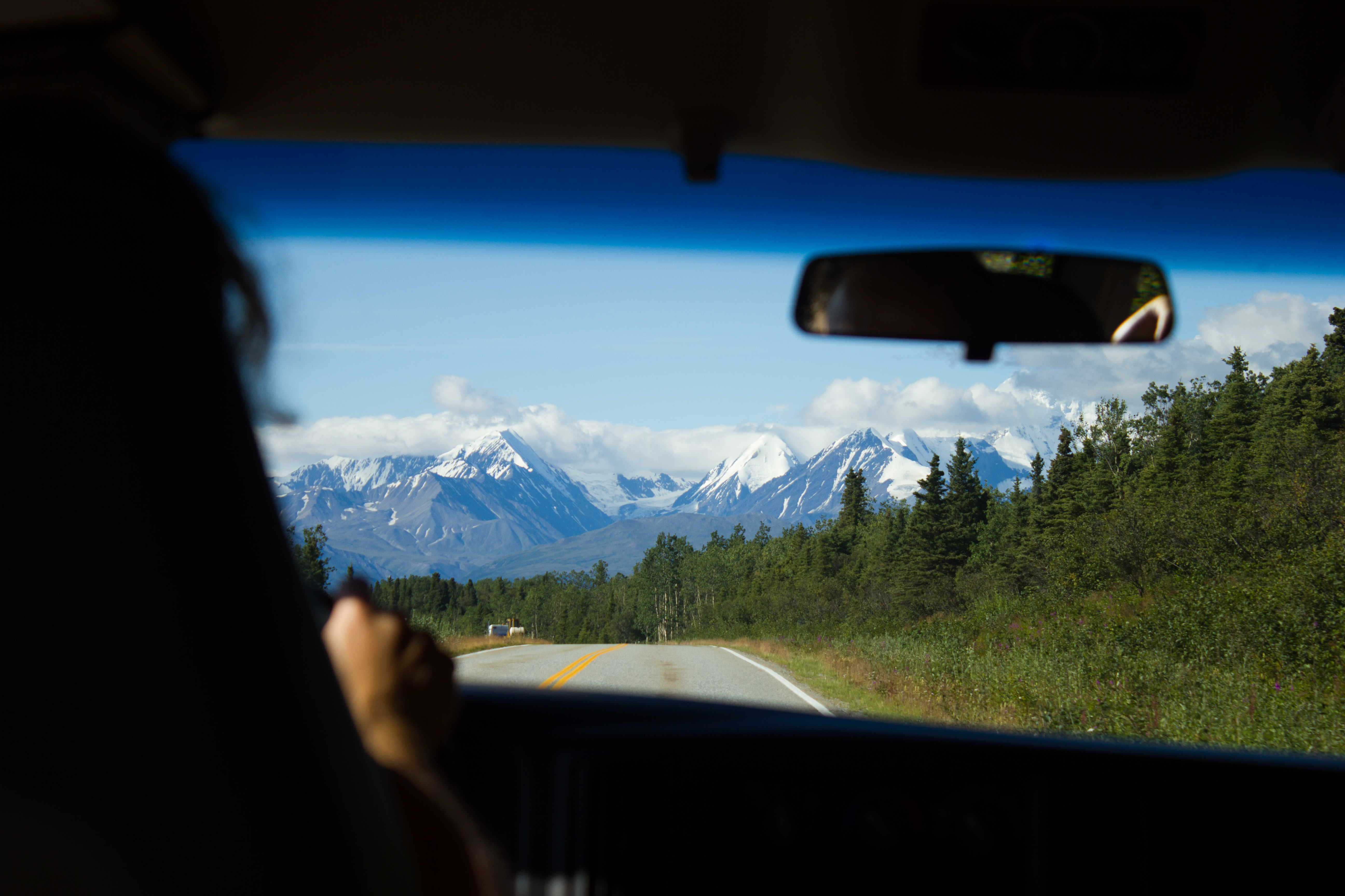
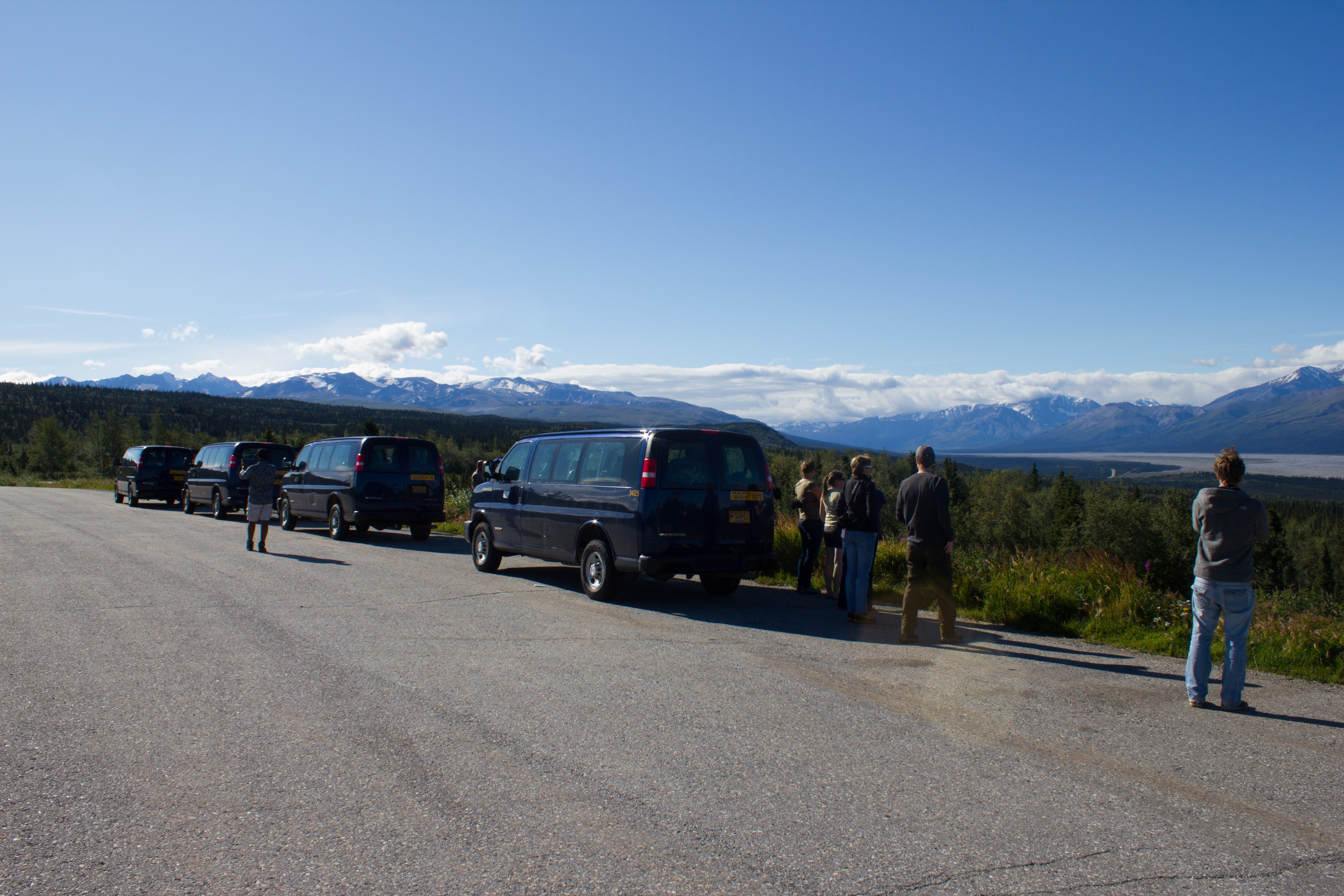
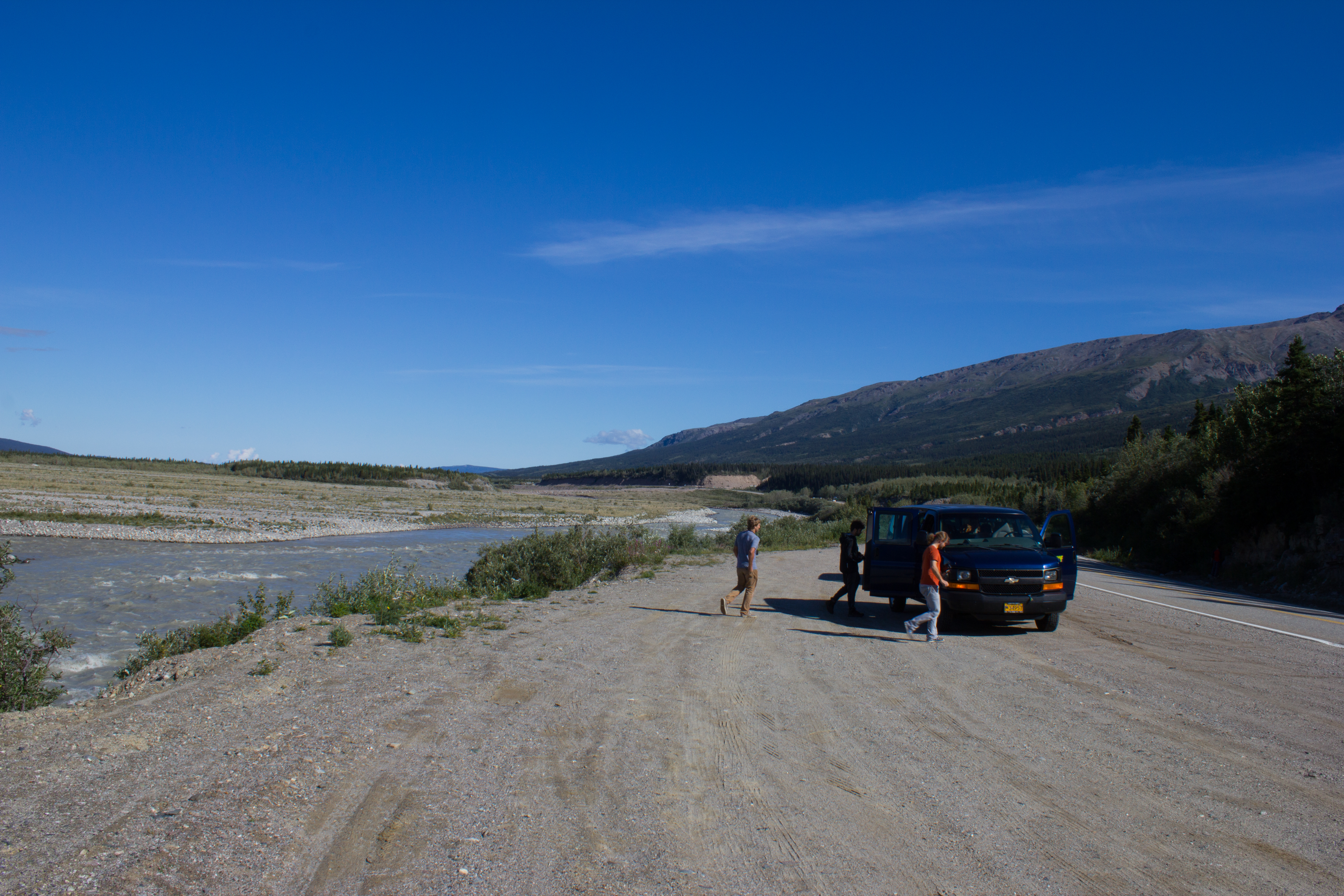
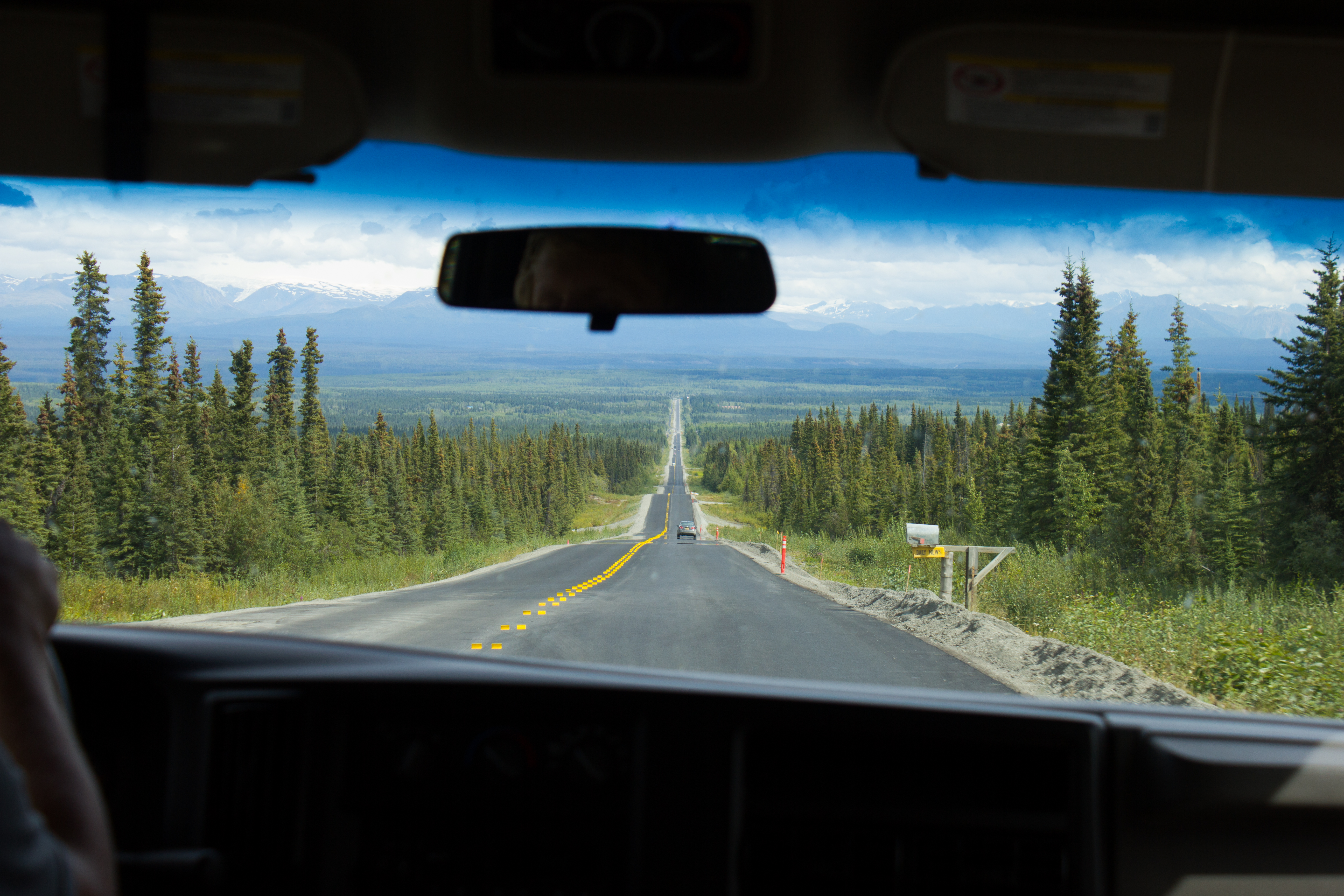
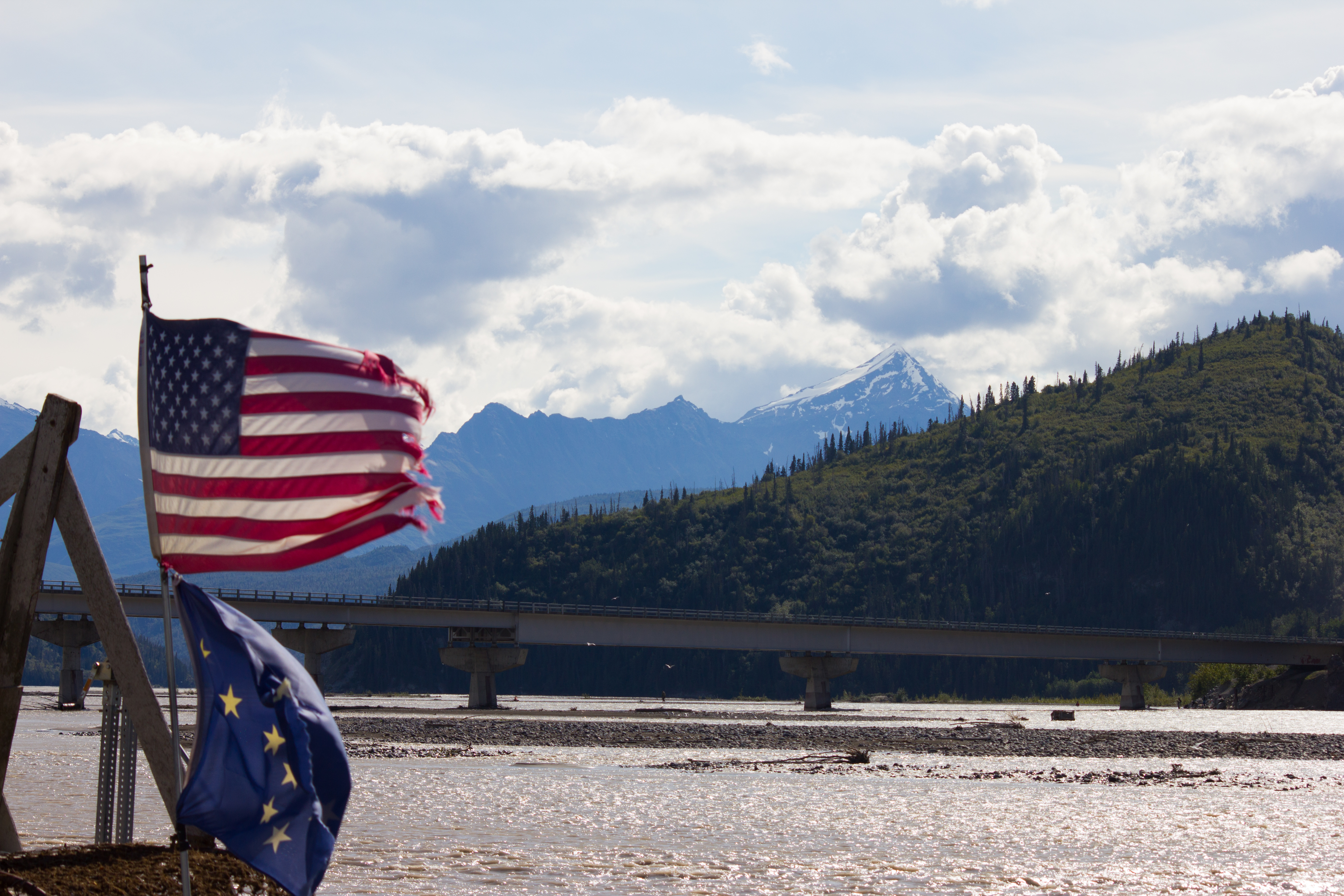
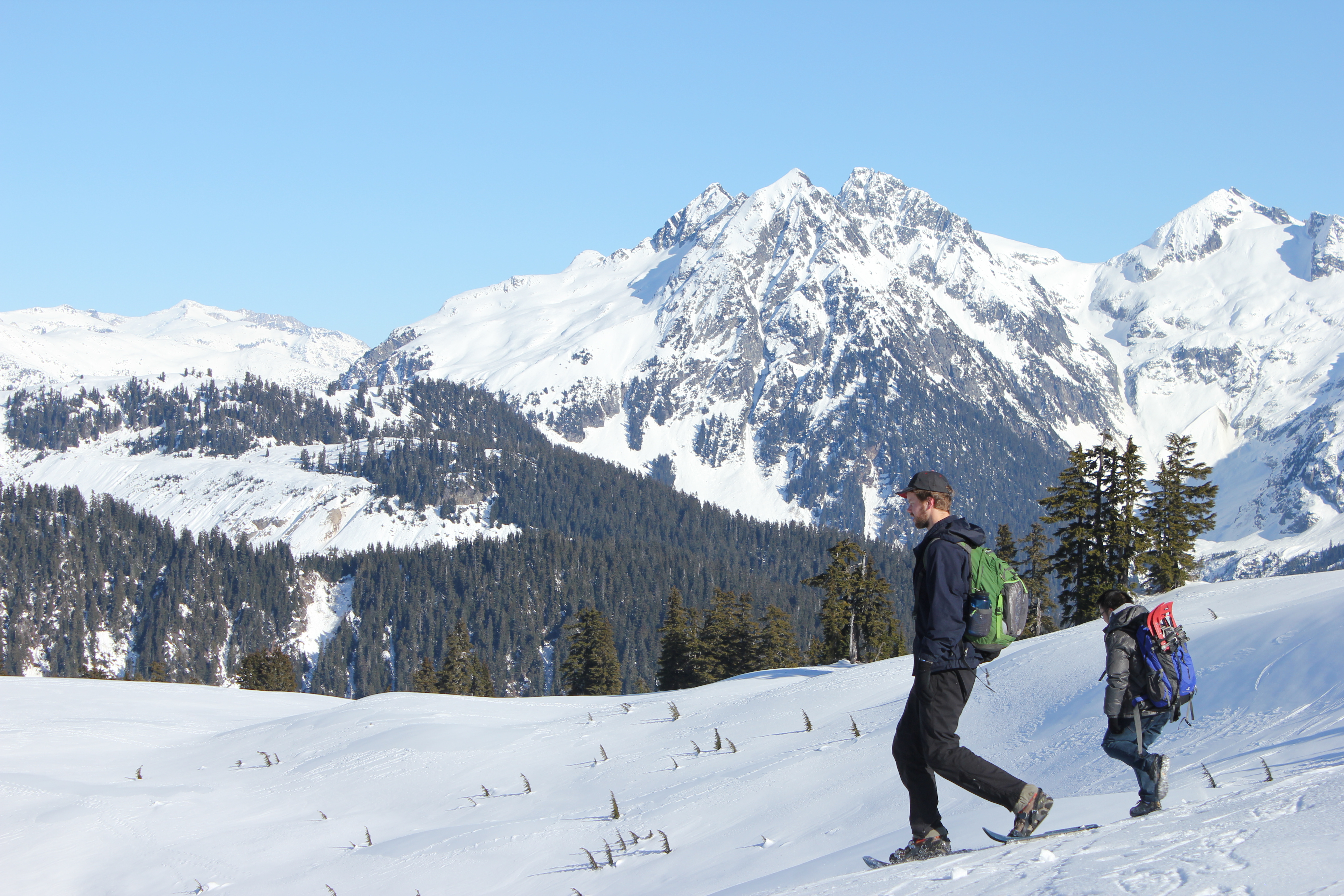
Hitting the road from Fairbanks to McCarthy, and aiming for the mountains.
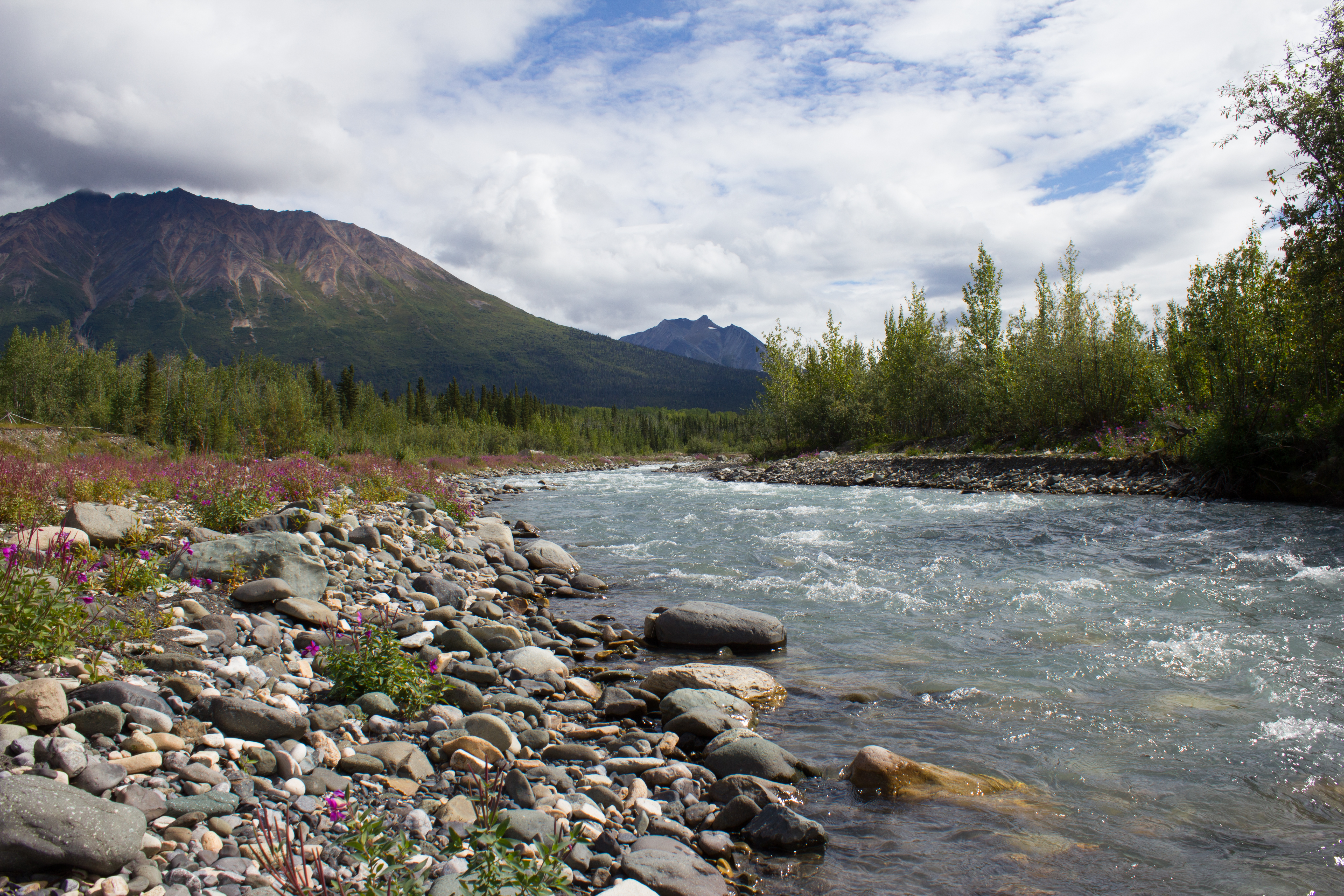
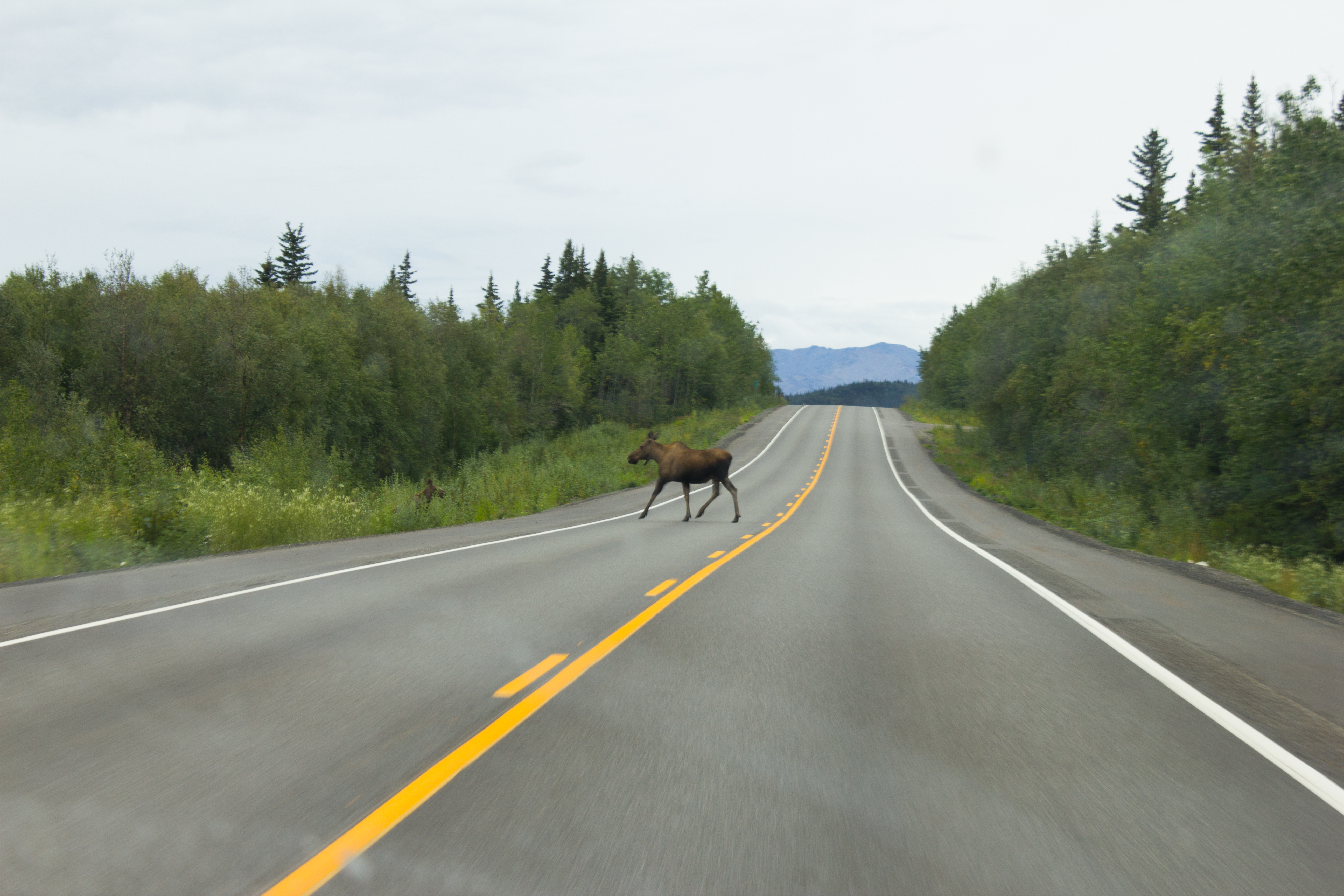
The drive to McCarthy took 11 hours, but it was broken up with regular stops.
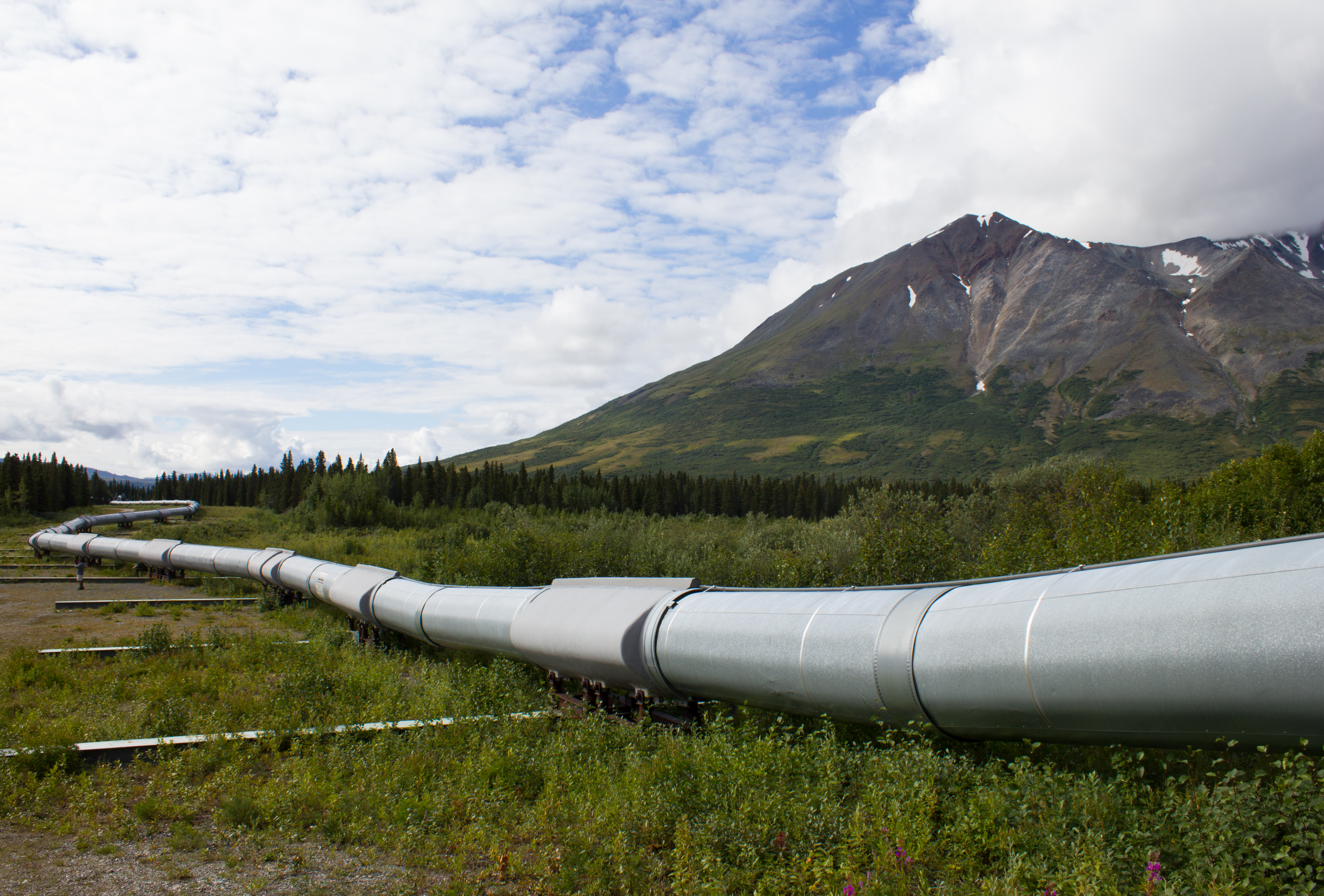
The Trans-Alaska pipeline crosses the entire state, north to south, from Prudhoe Bay to Valdez, stretching over 1,200km.
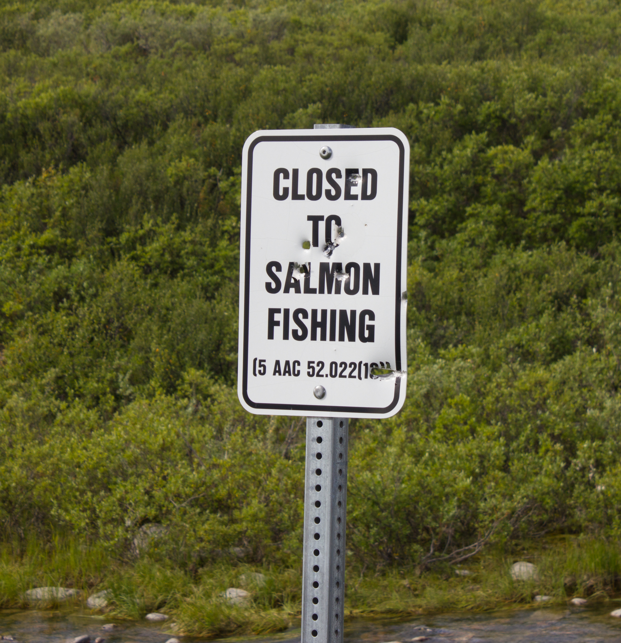
Not a popular decision. In reality, the salmon at this point have traveled so far inland from the sea (to reach spawning grounds) that they have lost much of their mass, and are not suitable for consumption.
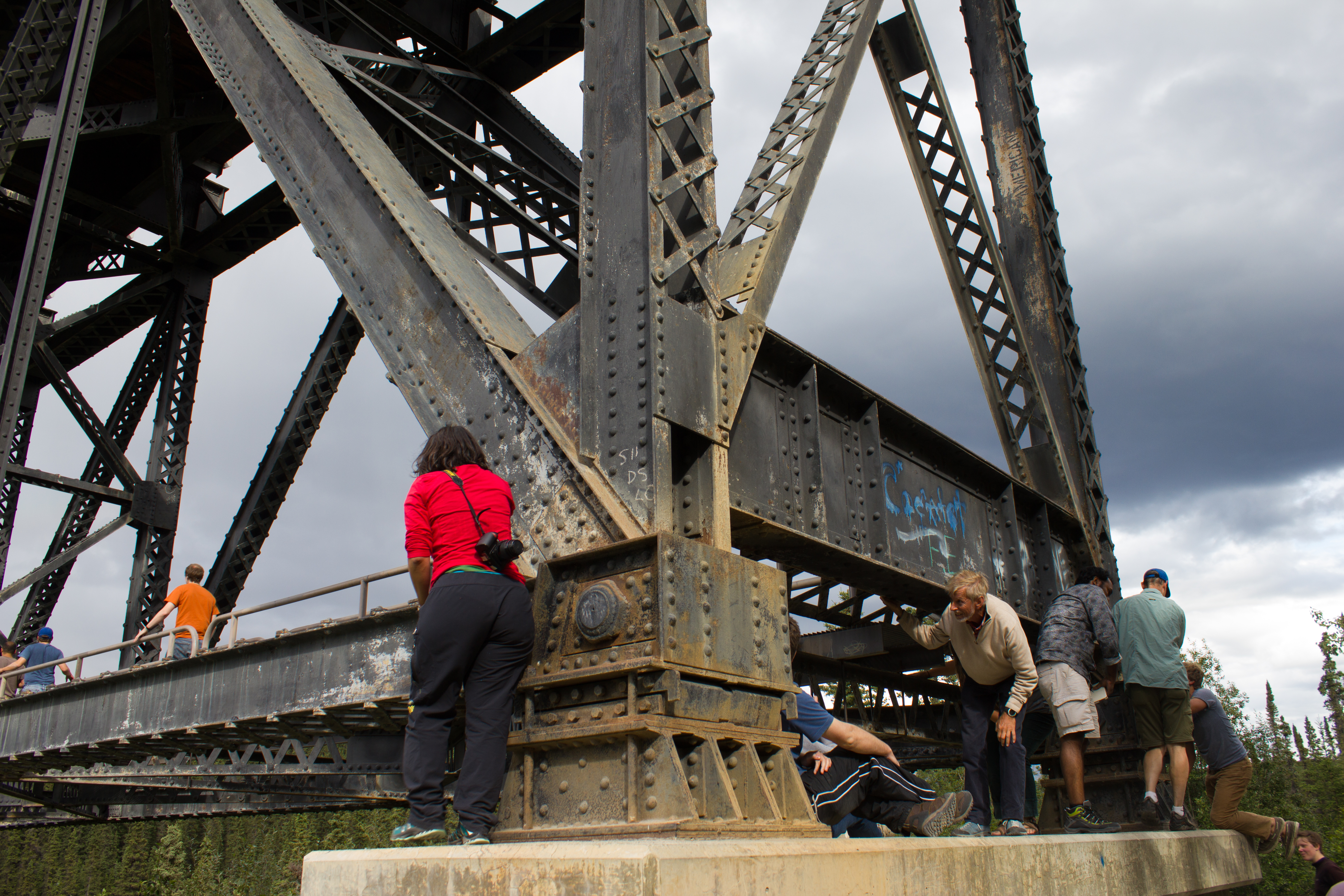
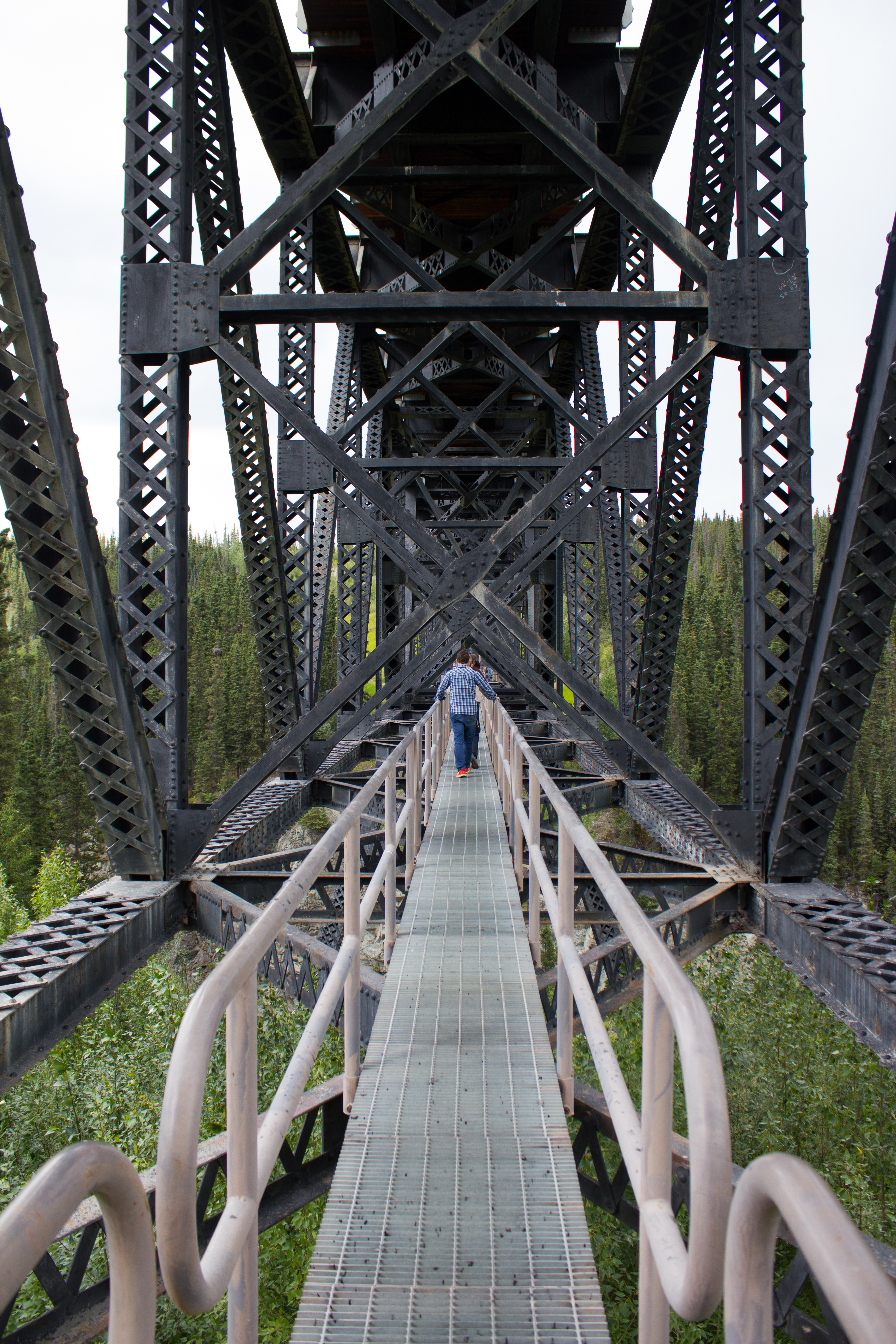
Hanging out under bridges.
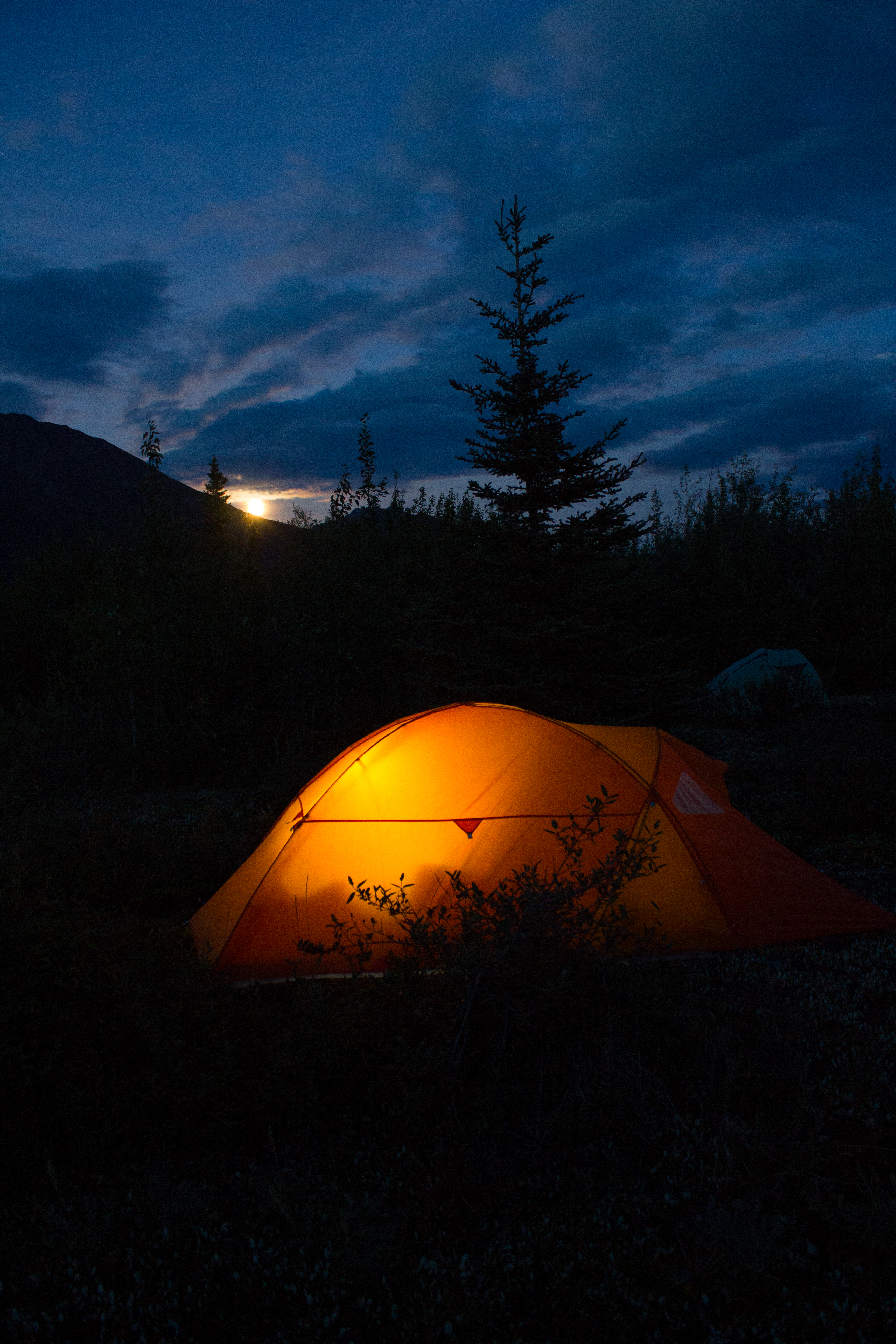
Home for the next 10 days
Moonrise
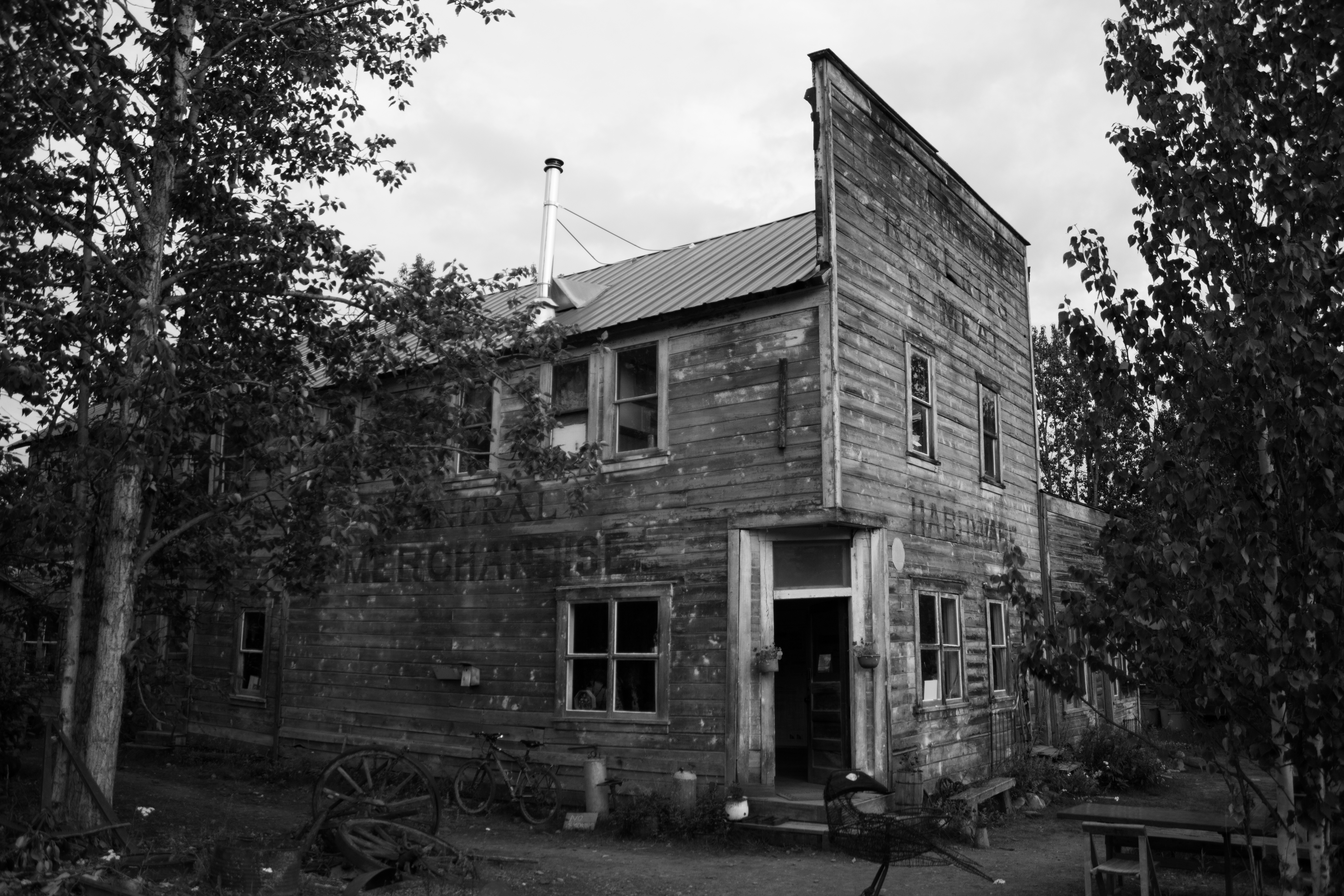
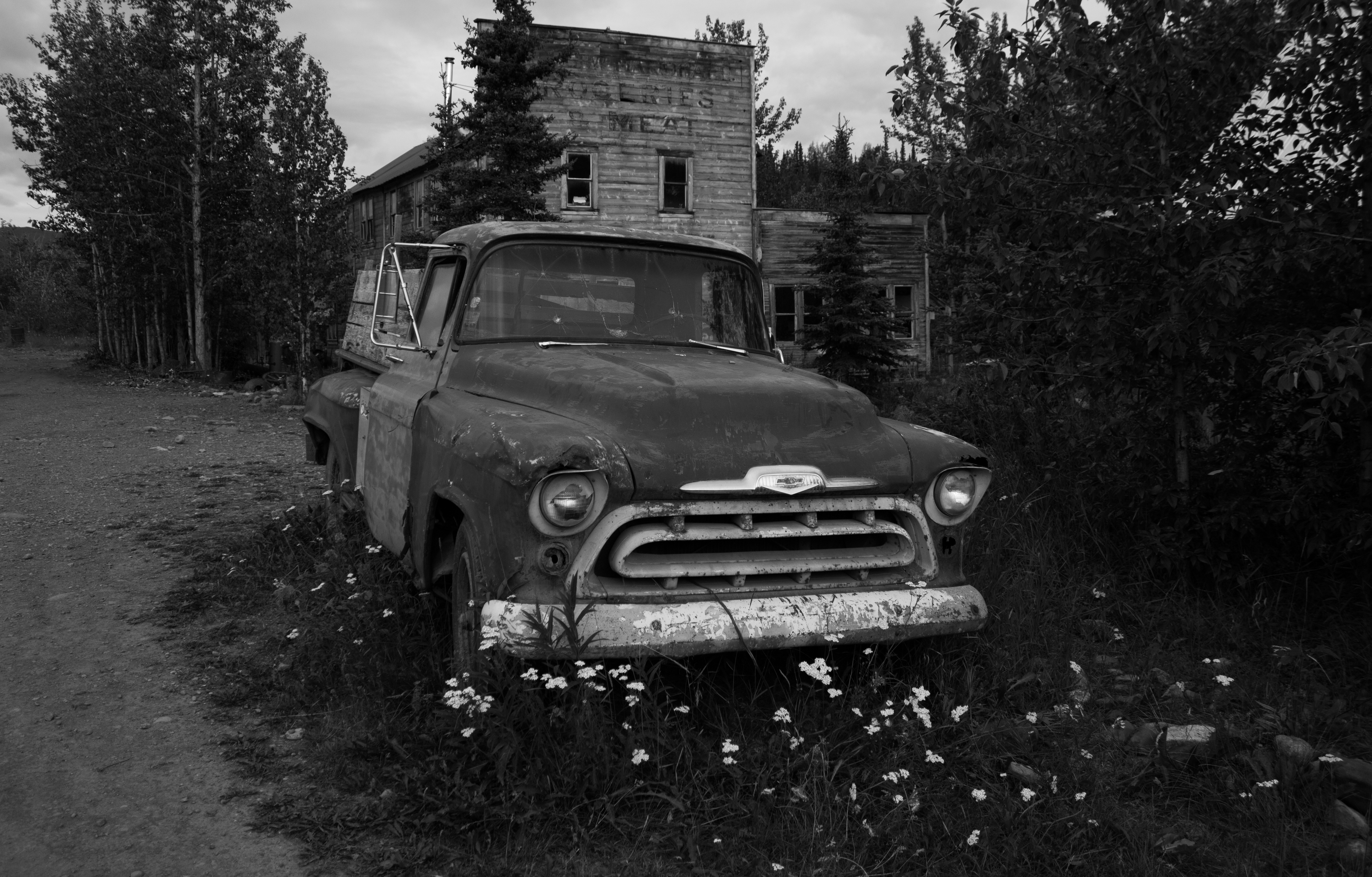
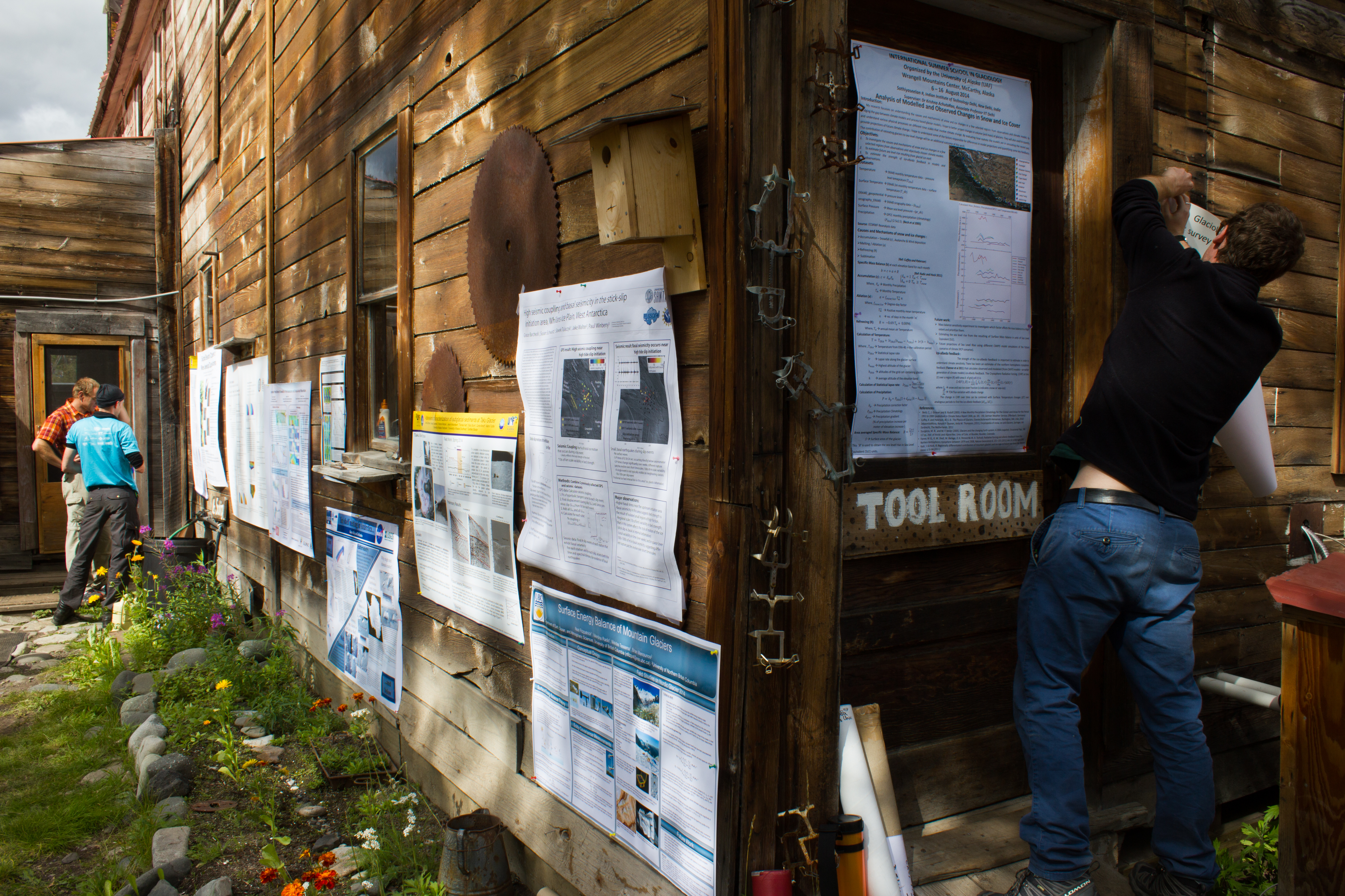
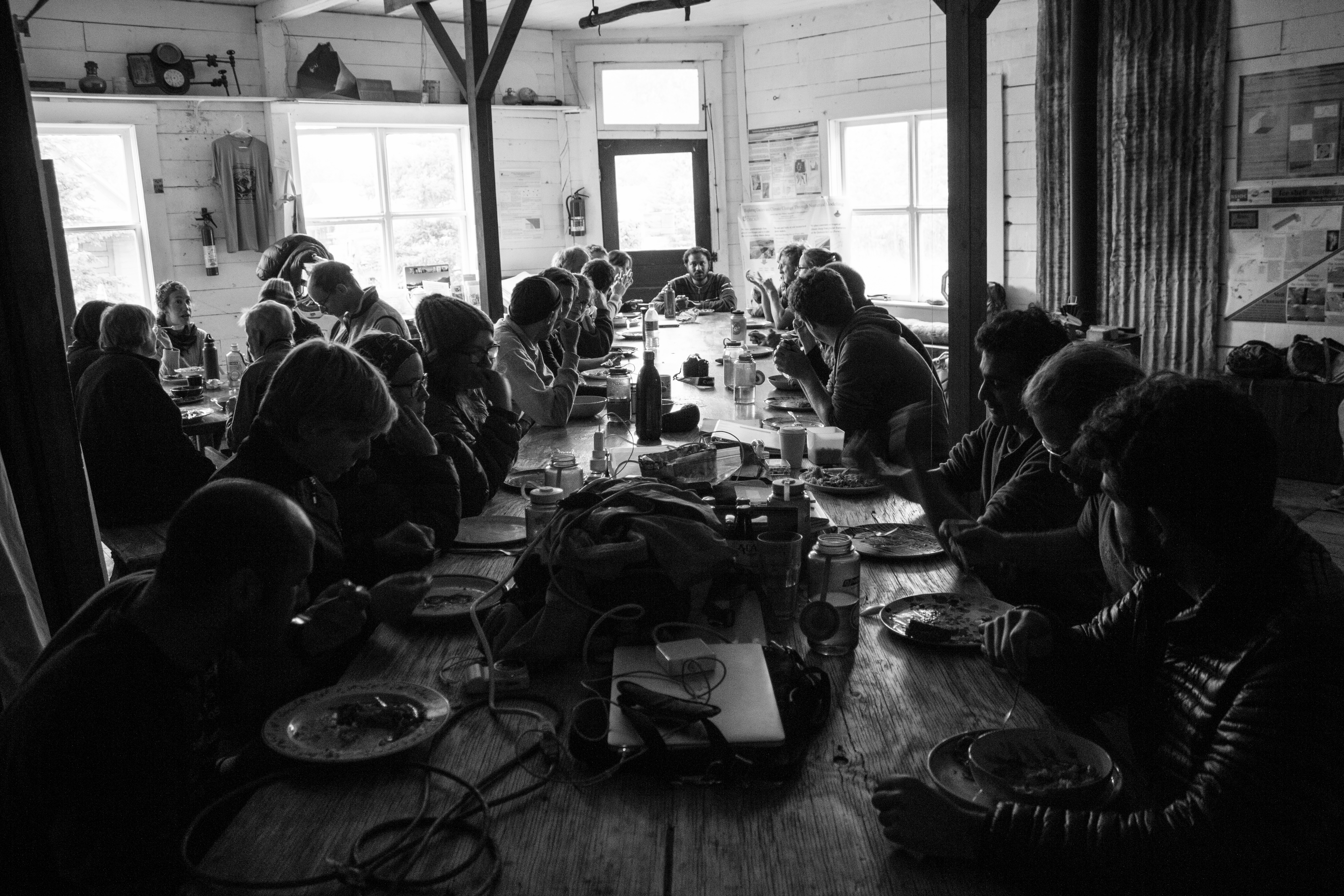
McCarthy’s old hardware store, now operated as the Wrangle Mountain Center, was our base for the summer school.
Tools of the trade. An unconventional poster session.
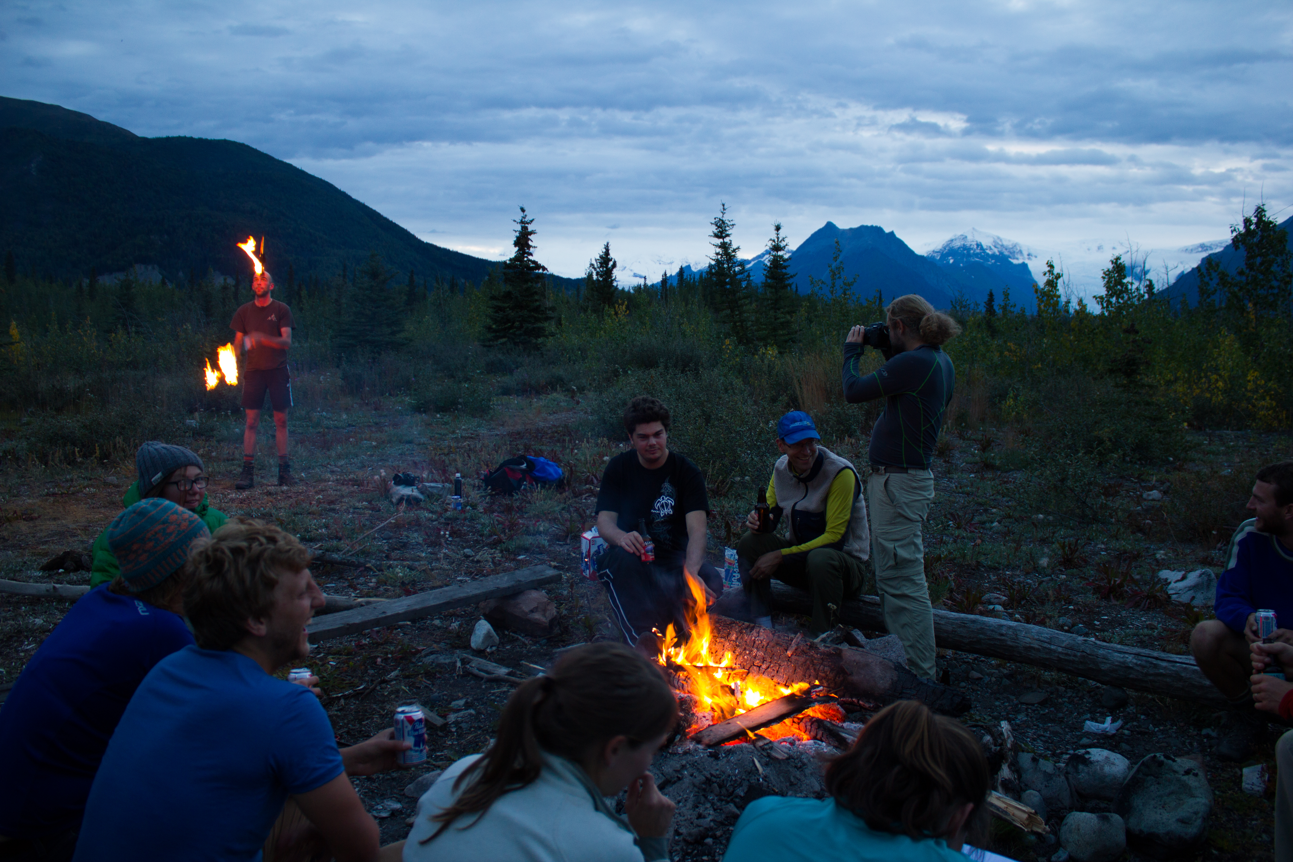
Friday night softball in McCarthy.
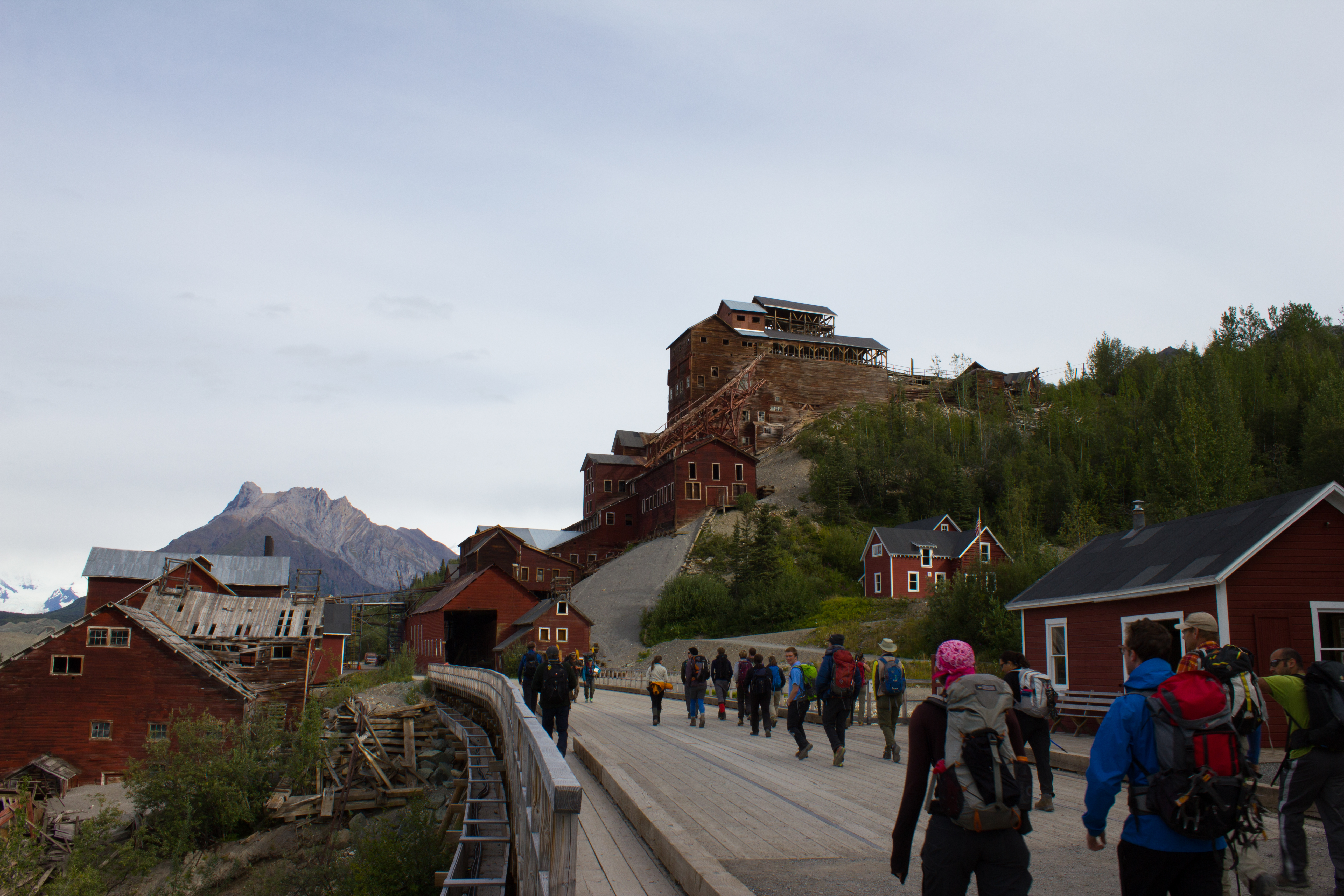
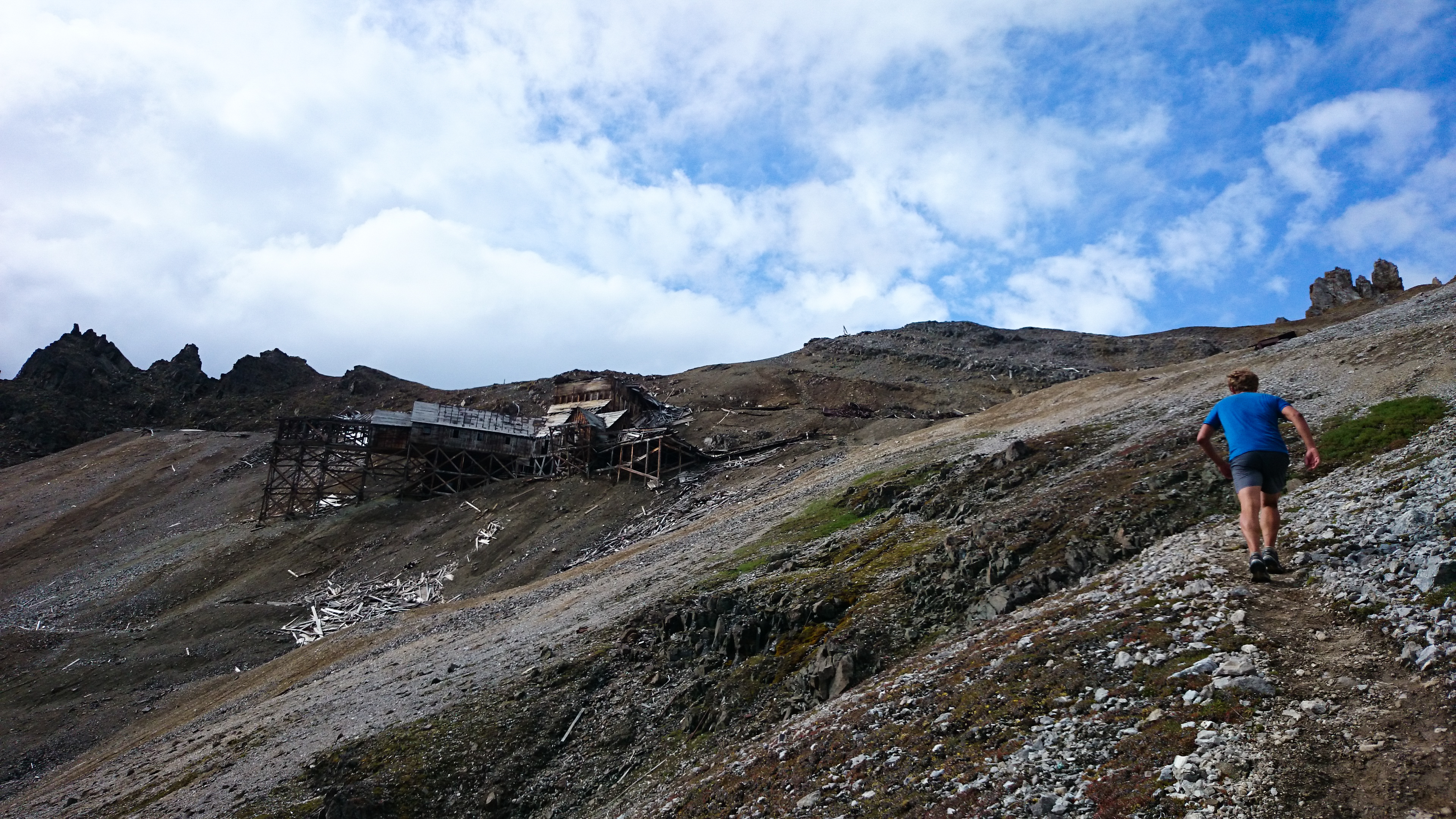
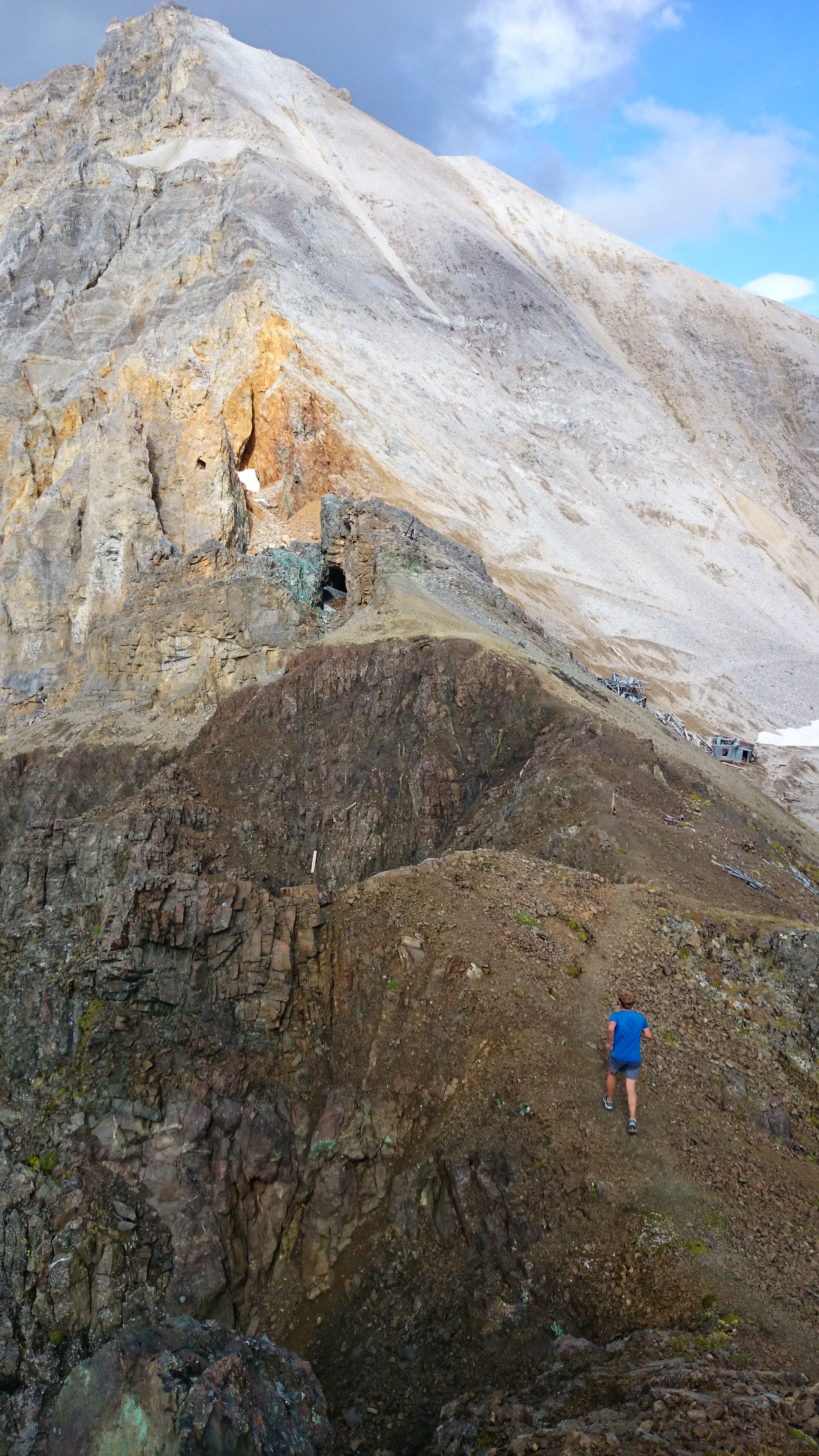
Passing Kennicott mill, where ore from the surrounding copper mines was processed in the early 1900s.
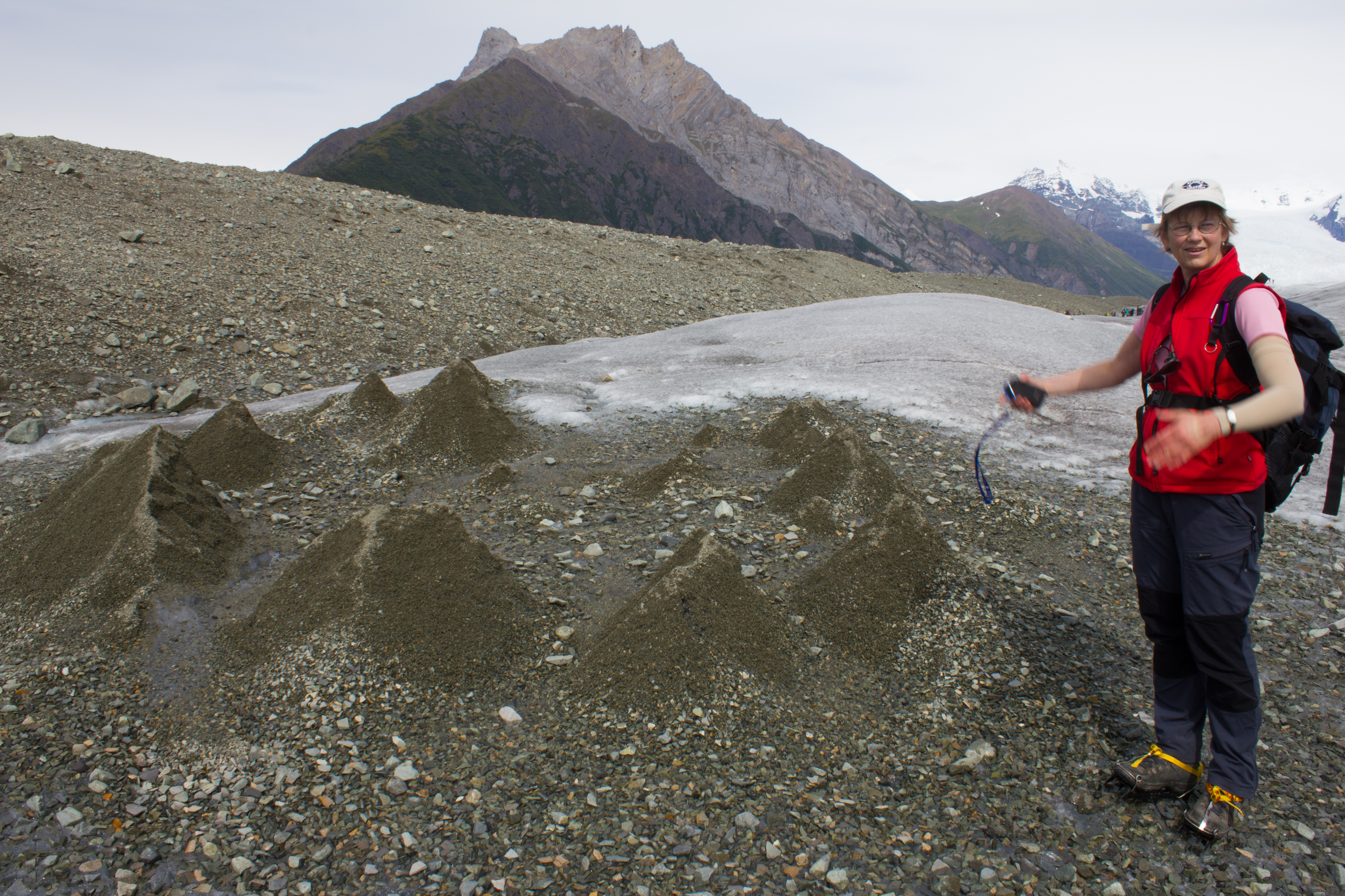
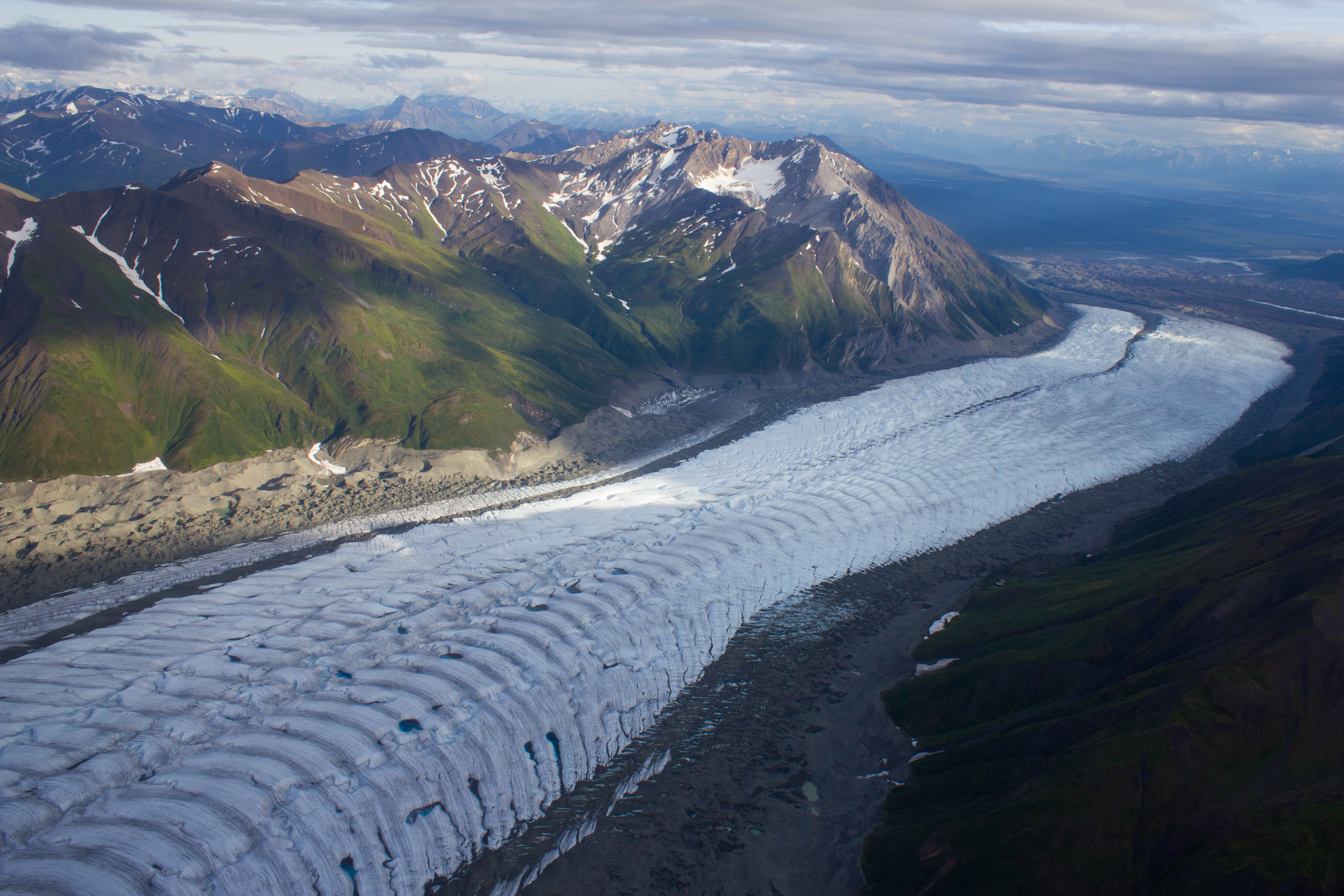
Mike in action. The expanse of what looks like gravel in the background is actually the lower reaches of the Kennicott glacier; the ridges are composed predominately of ice, coated with a thin layer of debris. The material comes from the lateral moraines of numerous tributary glaciers that have merged with the main trunk of the Kennicott, higher up the valley.
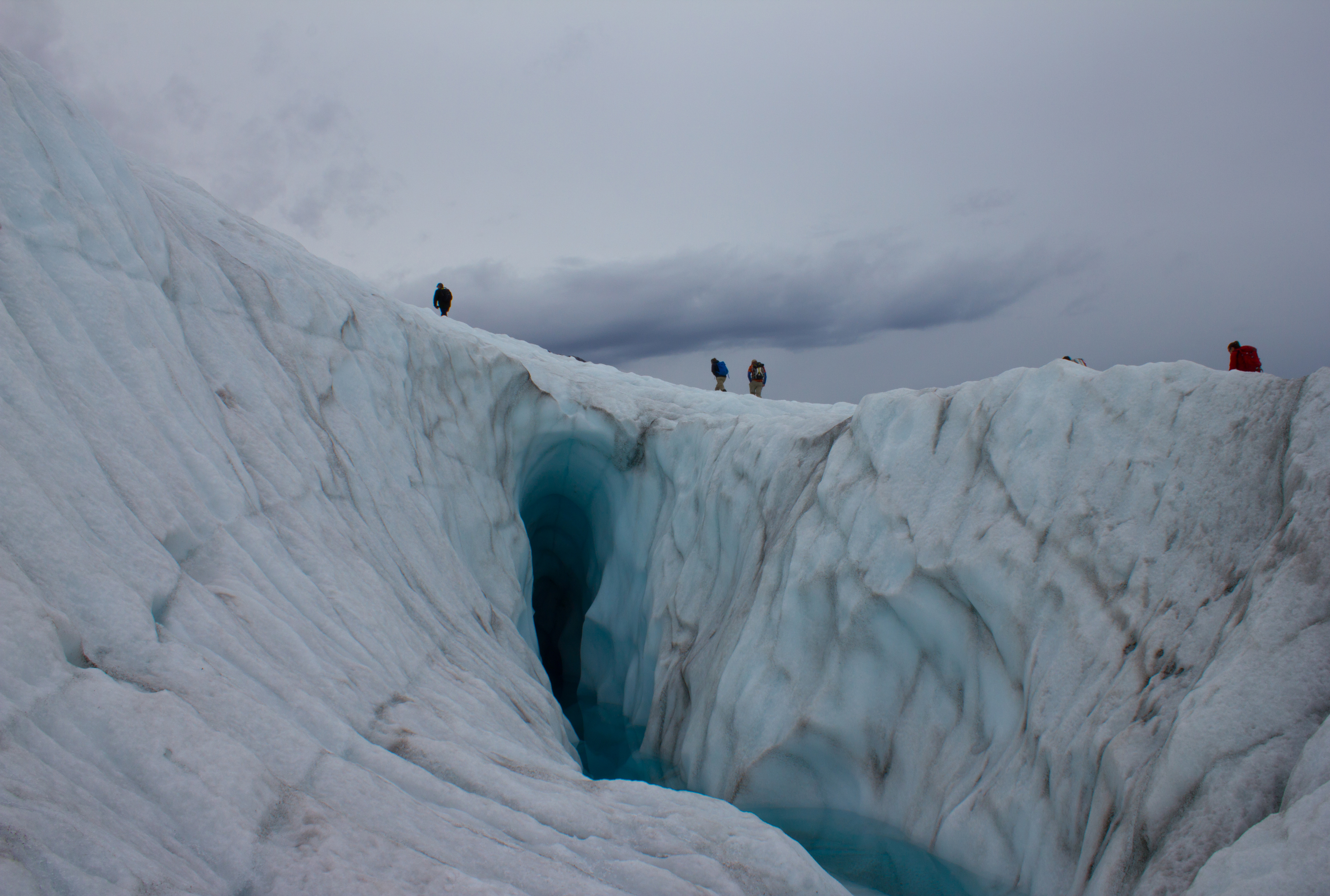
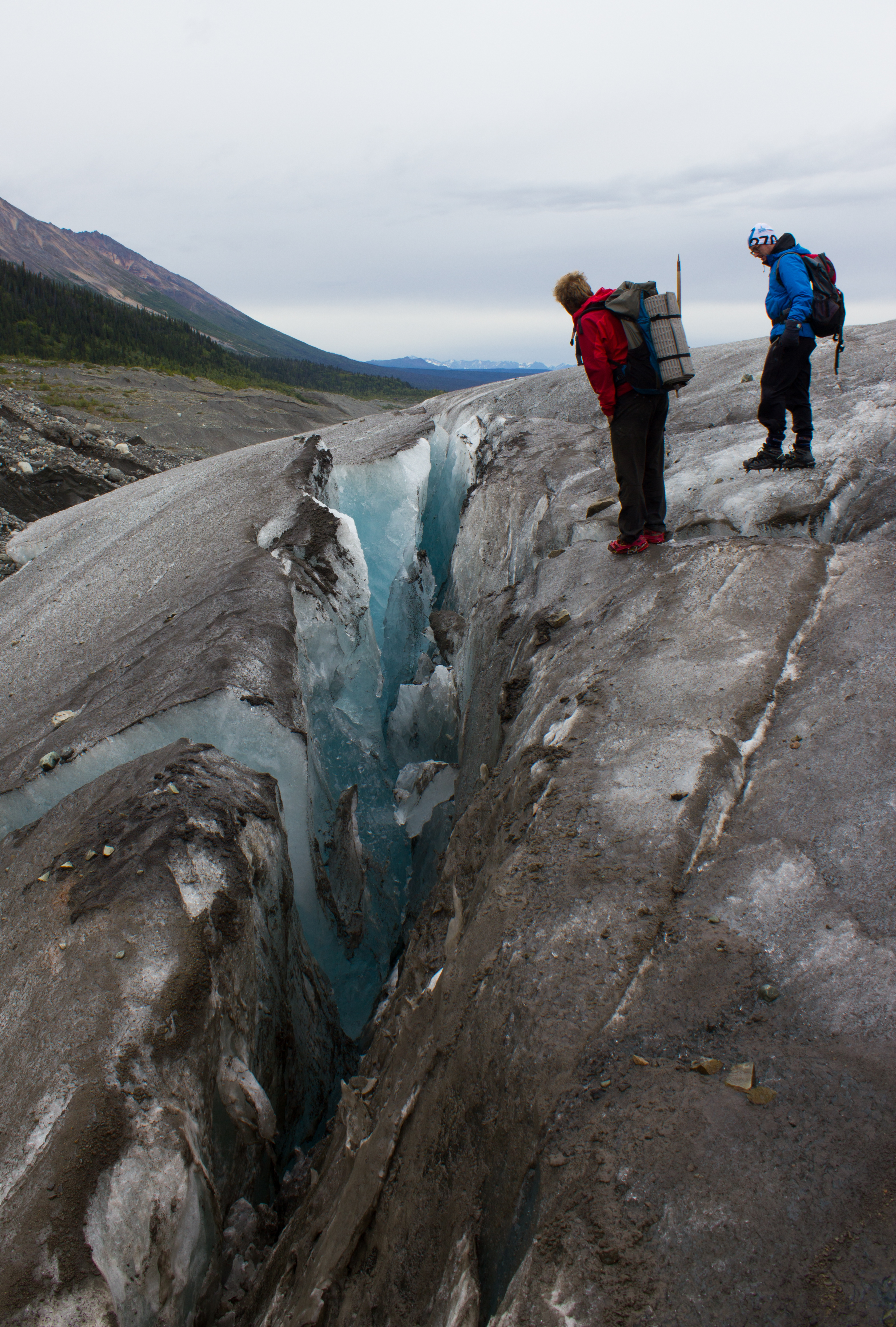
Footprint of a moulin. Debris carried downwards by water is deposited at the bottom of the moulin. When the overlying snow and ice melts (and the moulin collapses), the ice covered by this material melts slower than the surrounding exposed ice, resulting in these ridges.
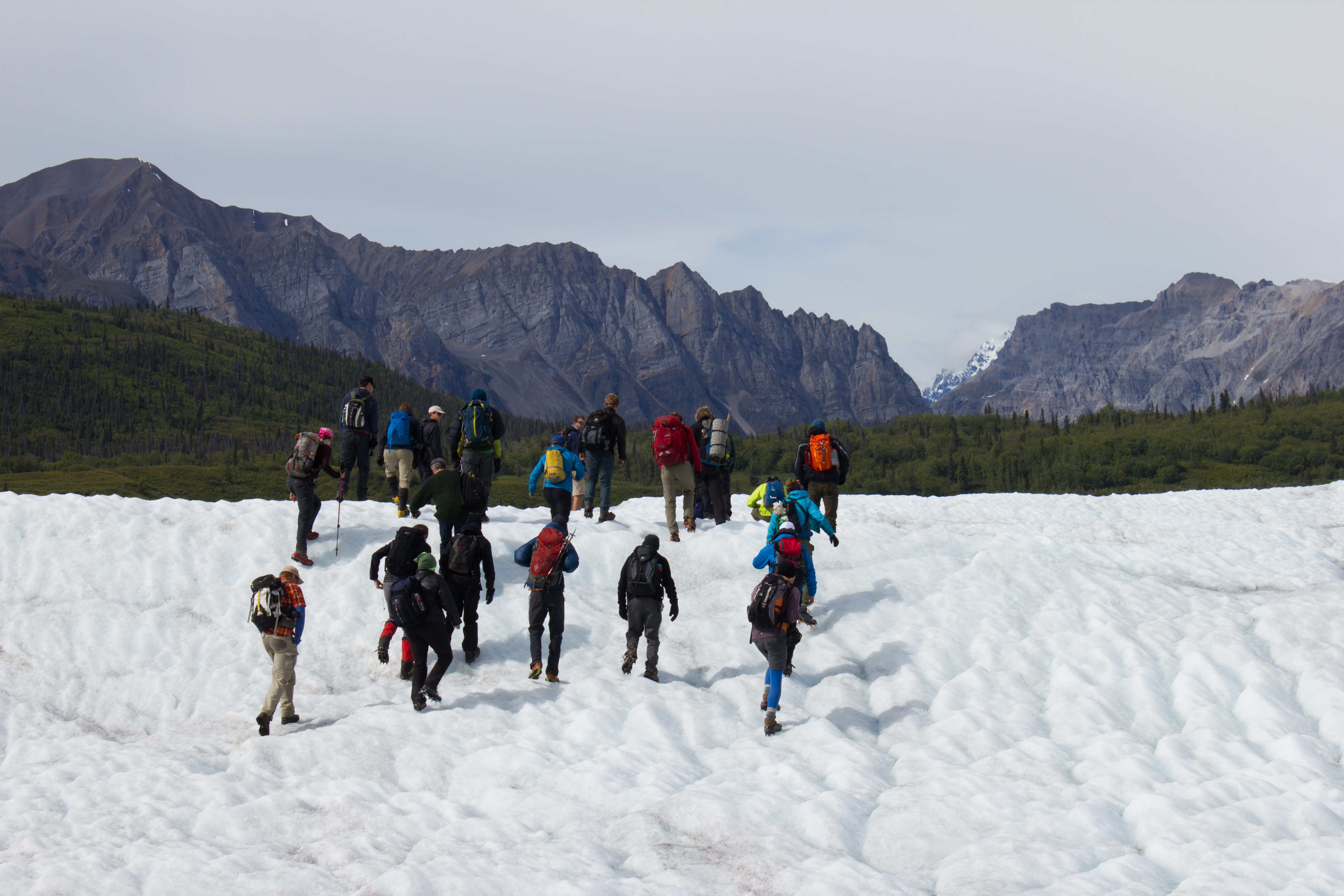
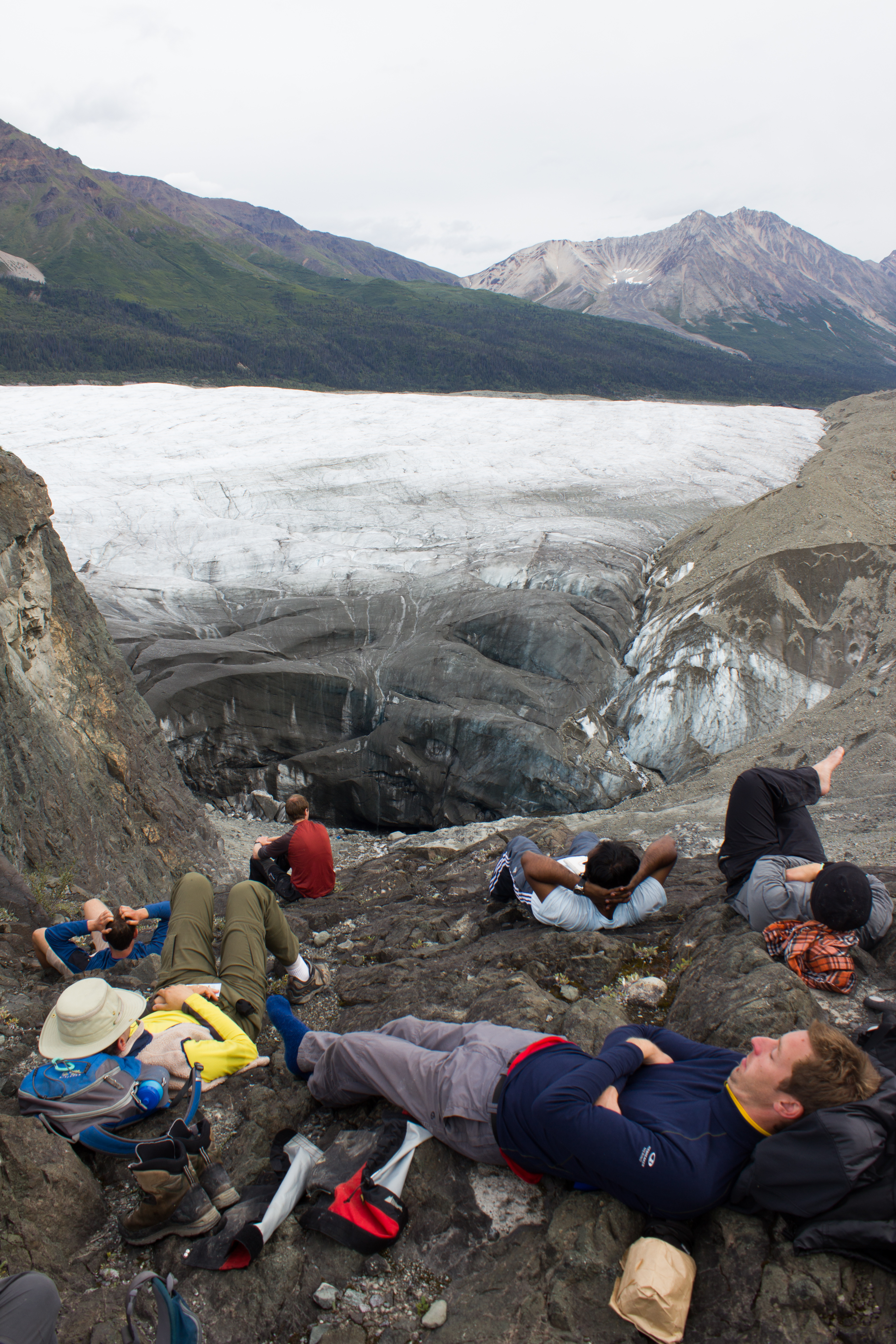
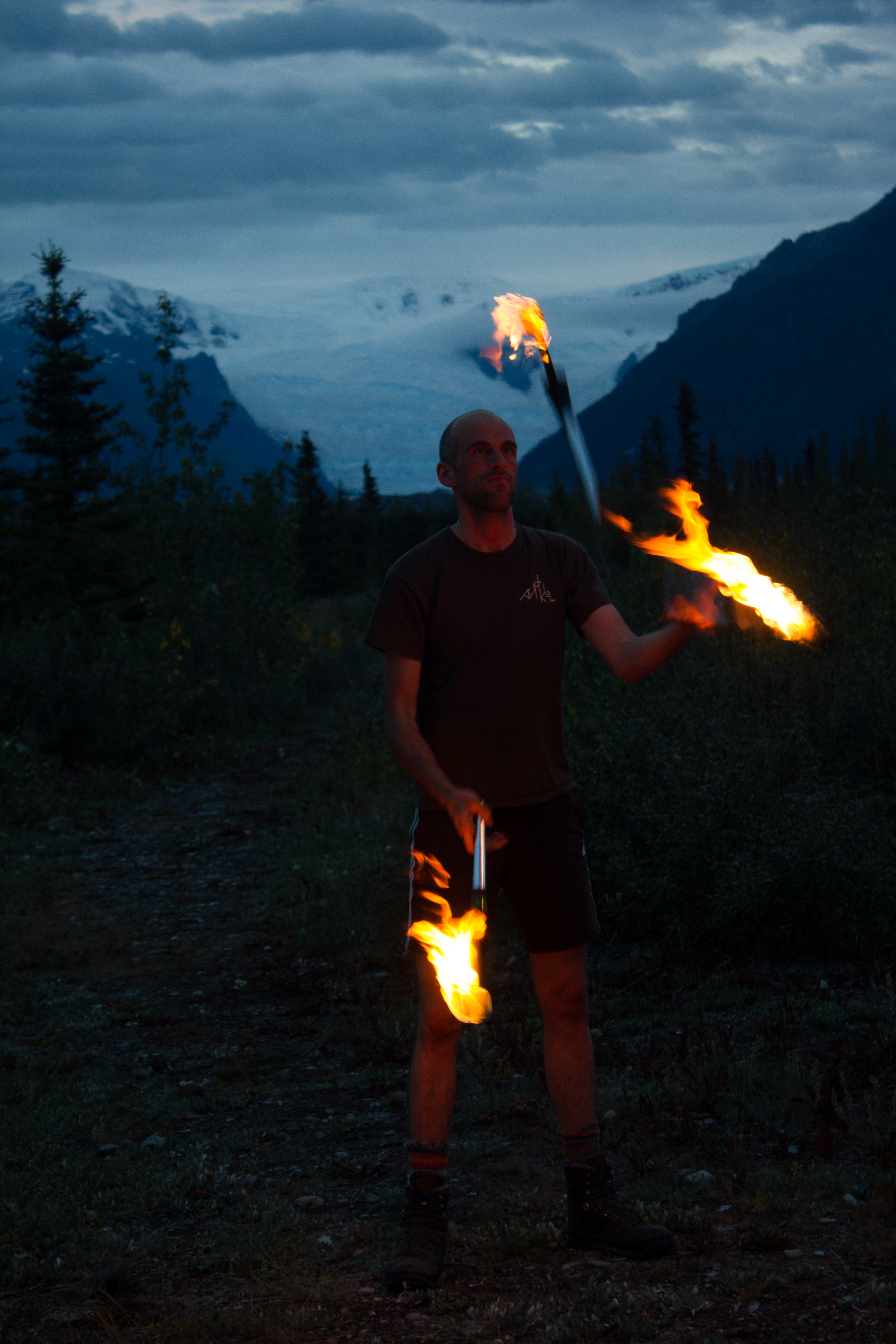
Glaciologists in their natural environment.
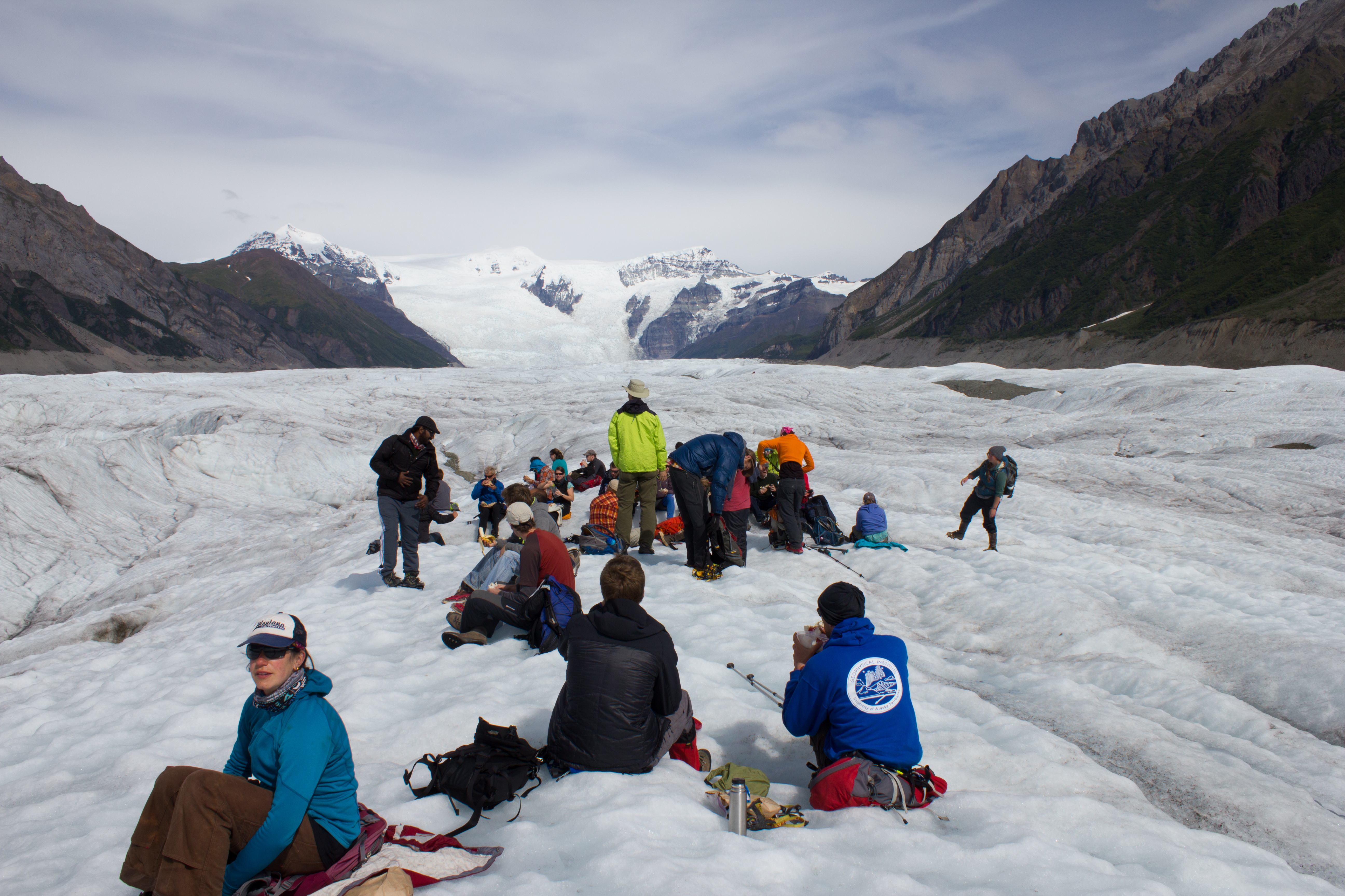
Lunch time
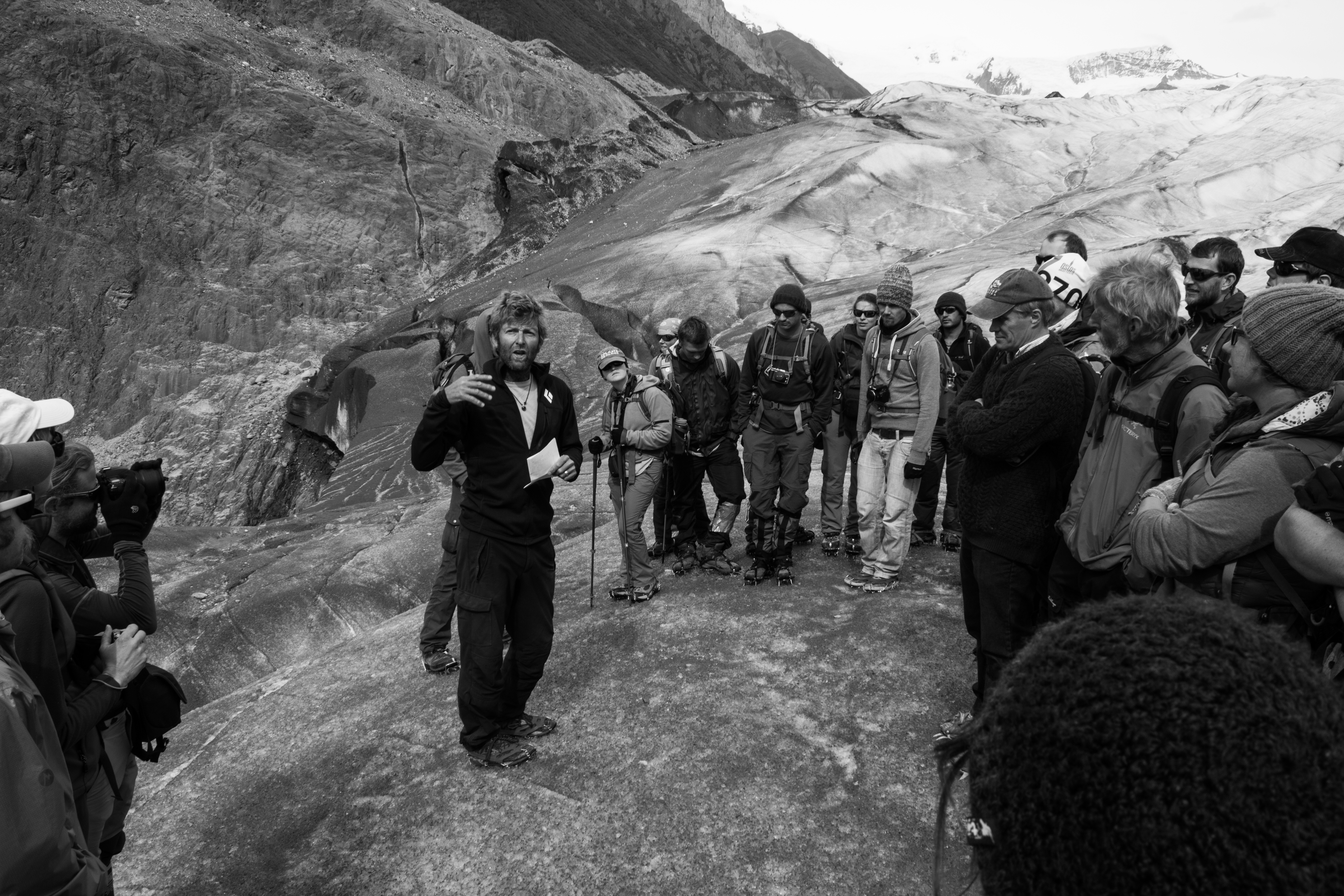
Holding court
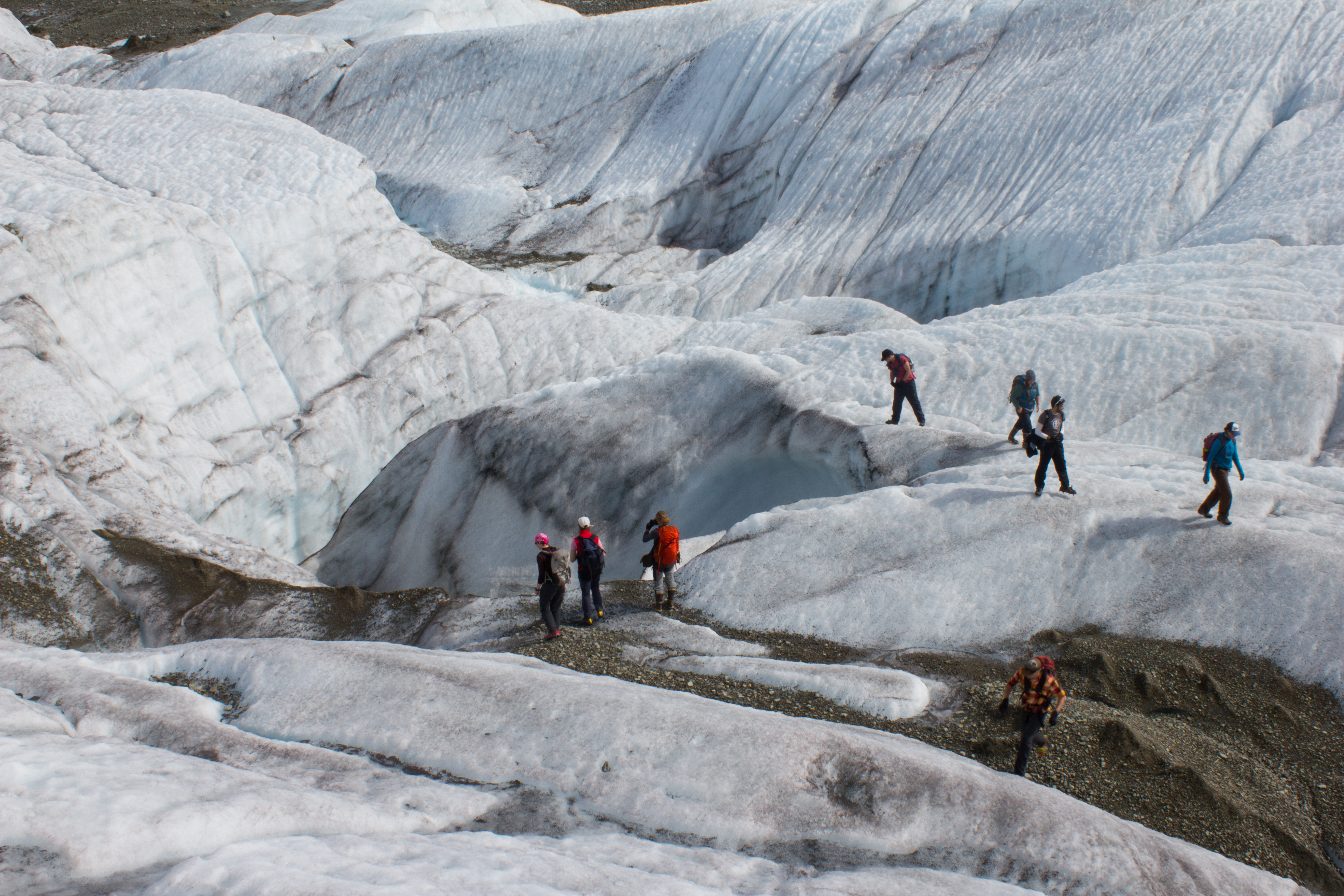
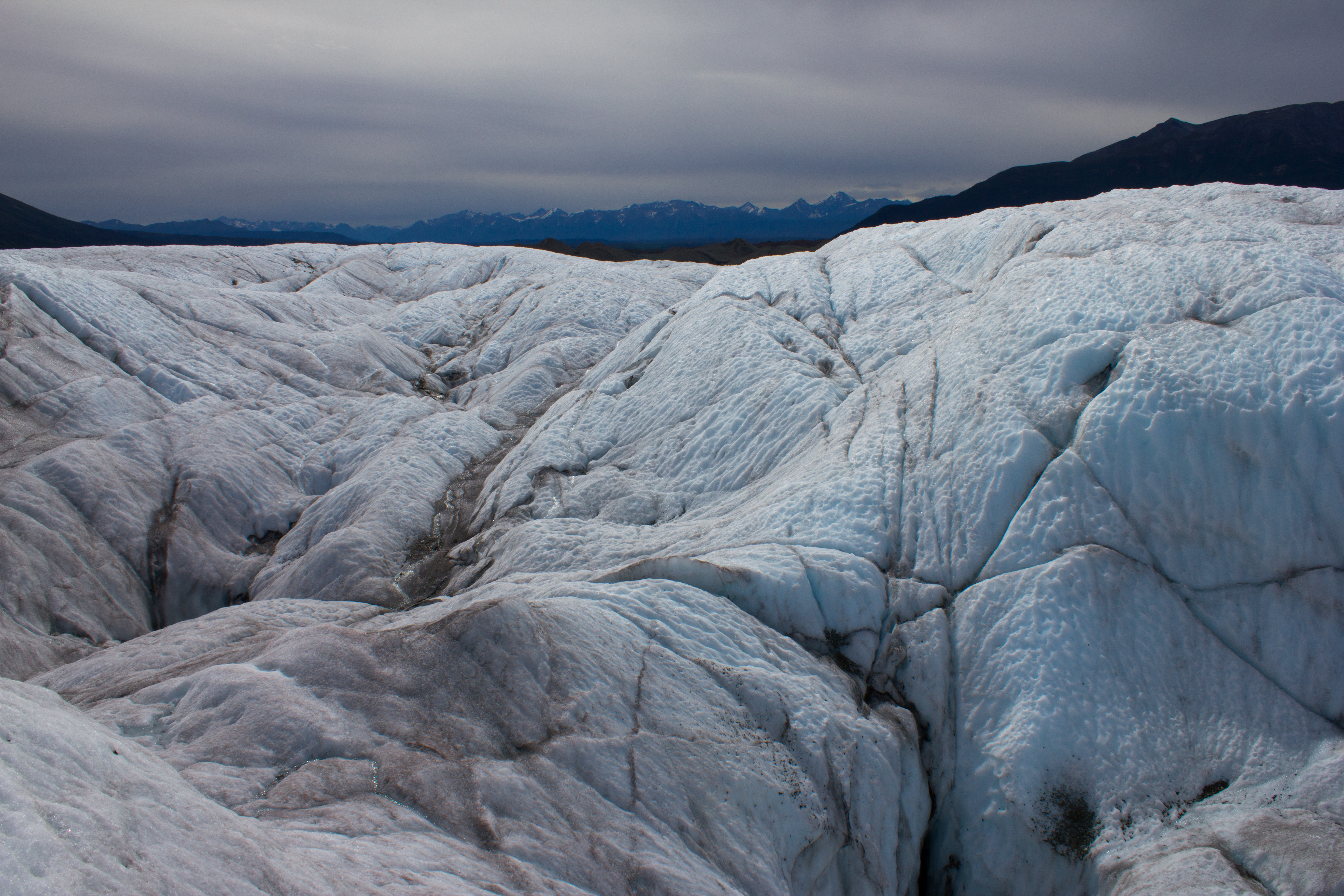
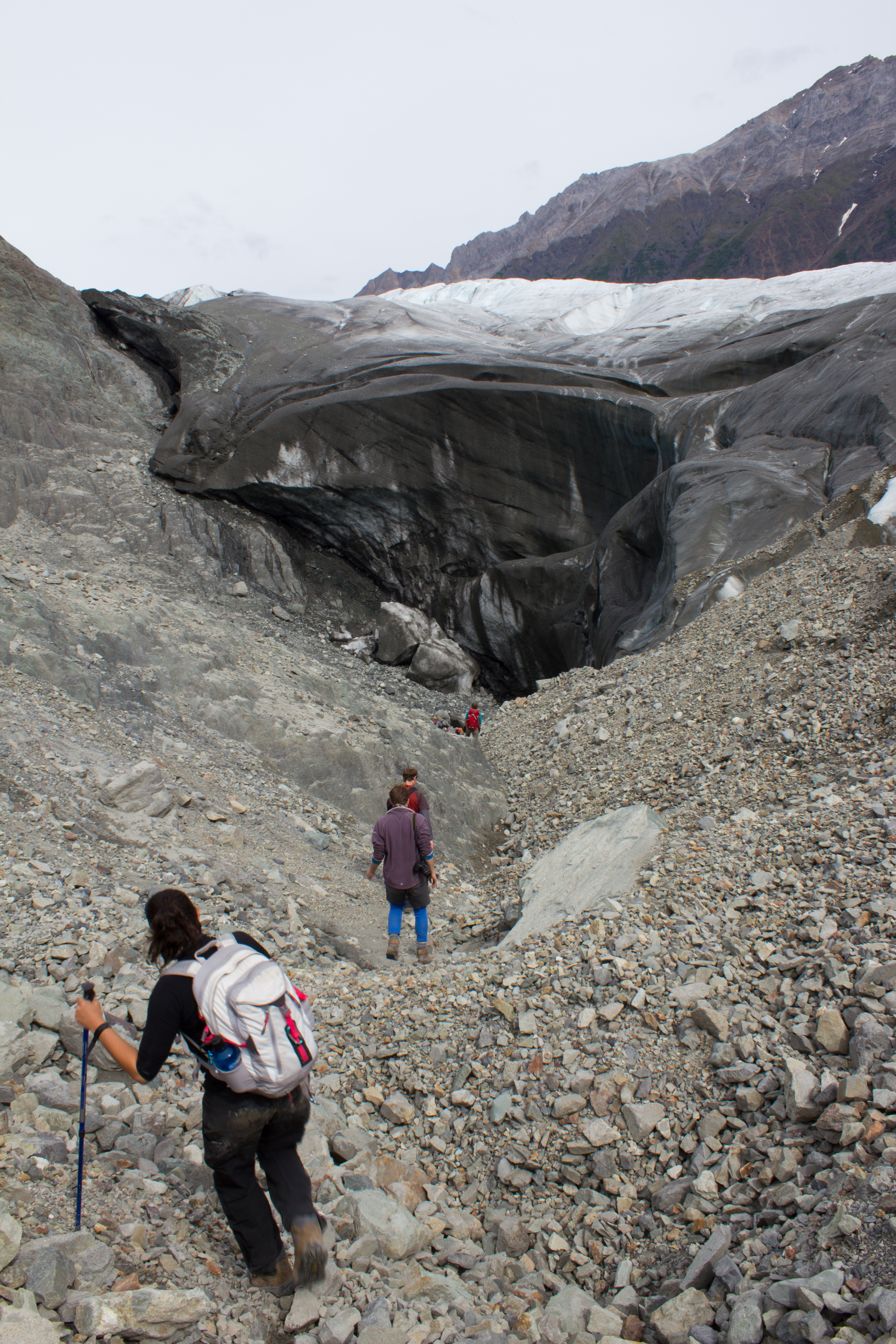
Descending into a temporarily empty lake basin. This lake, along the margin of the Root glacier, can fill or drain in a day; the water flowing through subglacial channels.
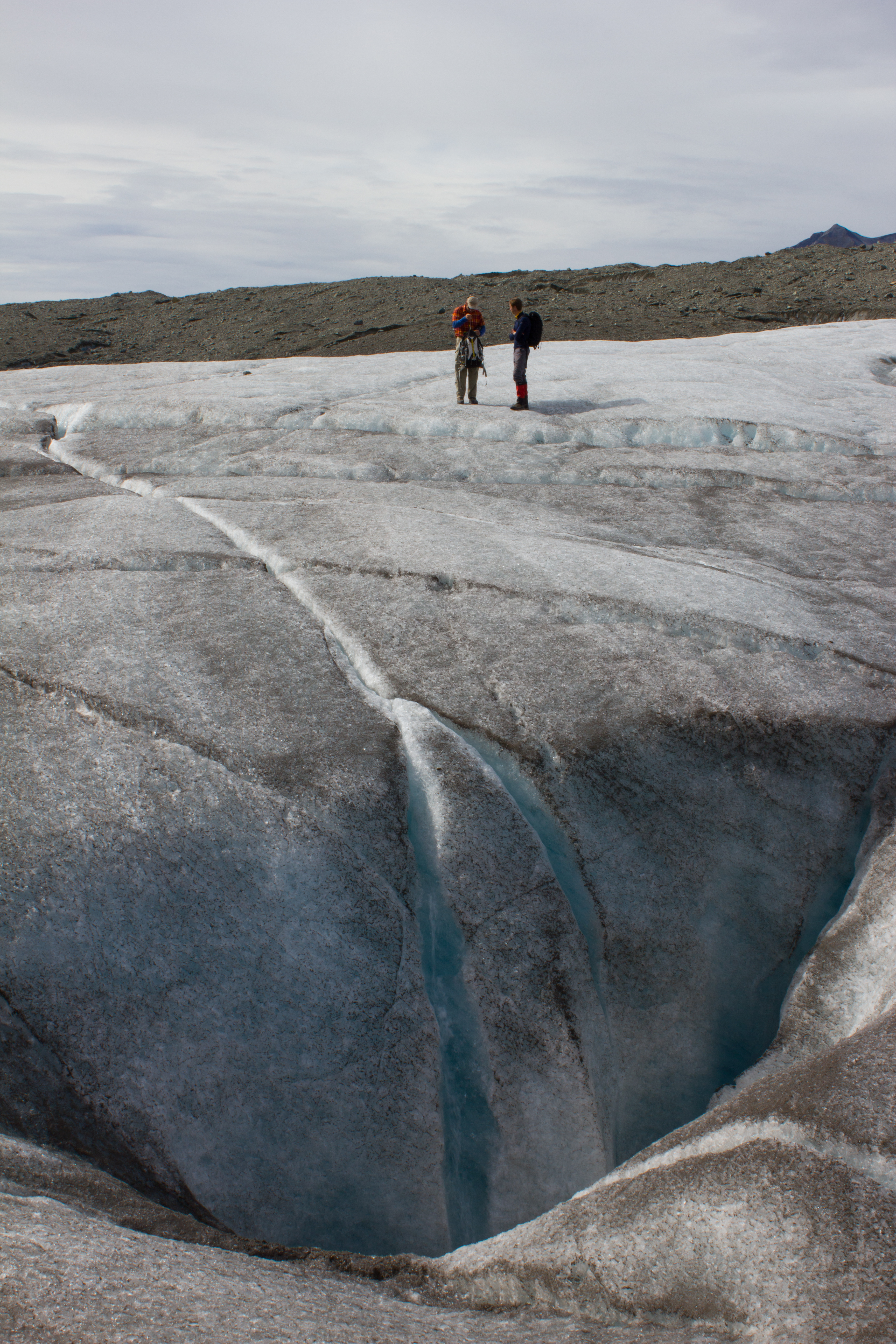
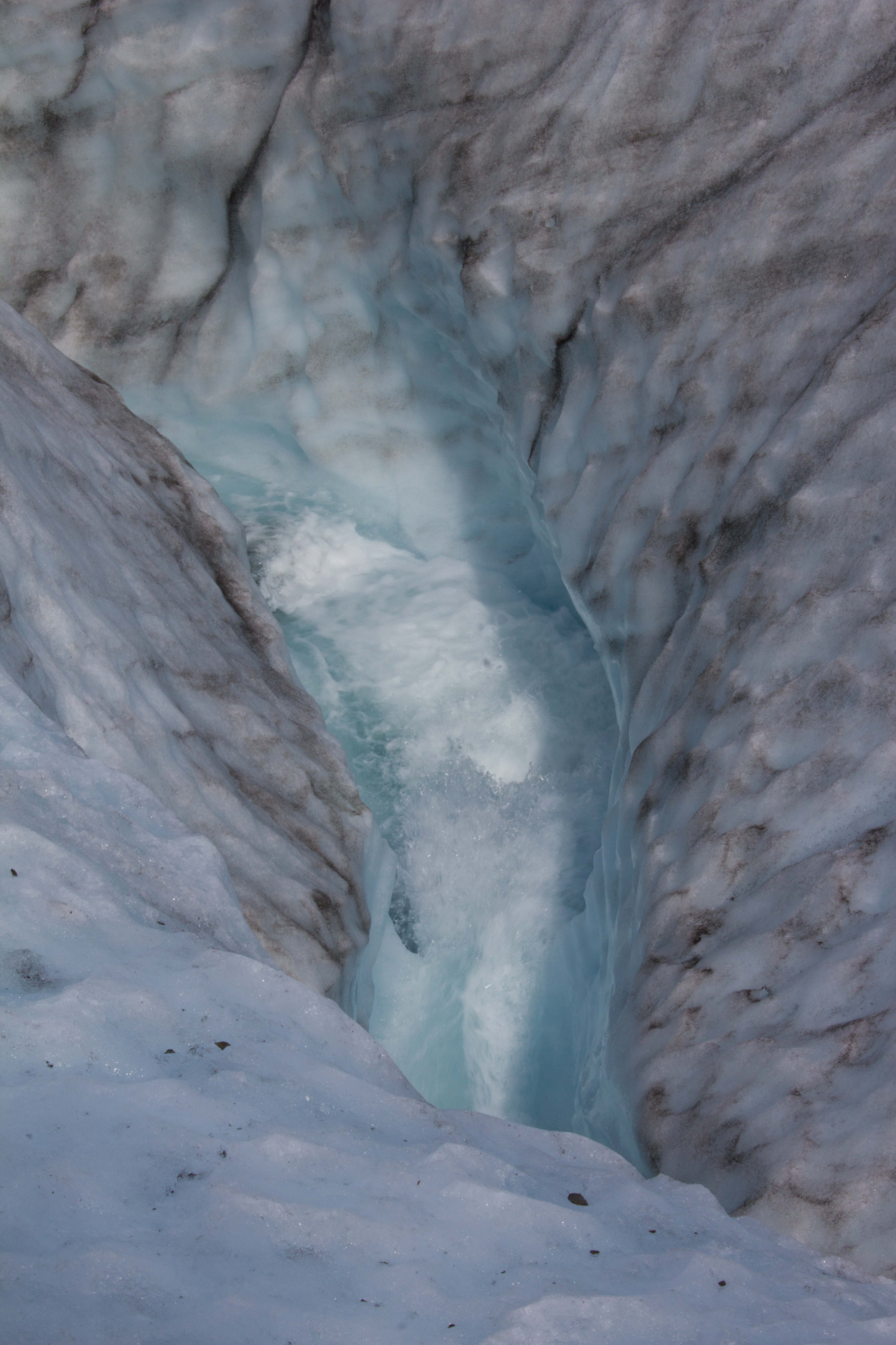
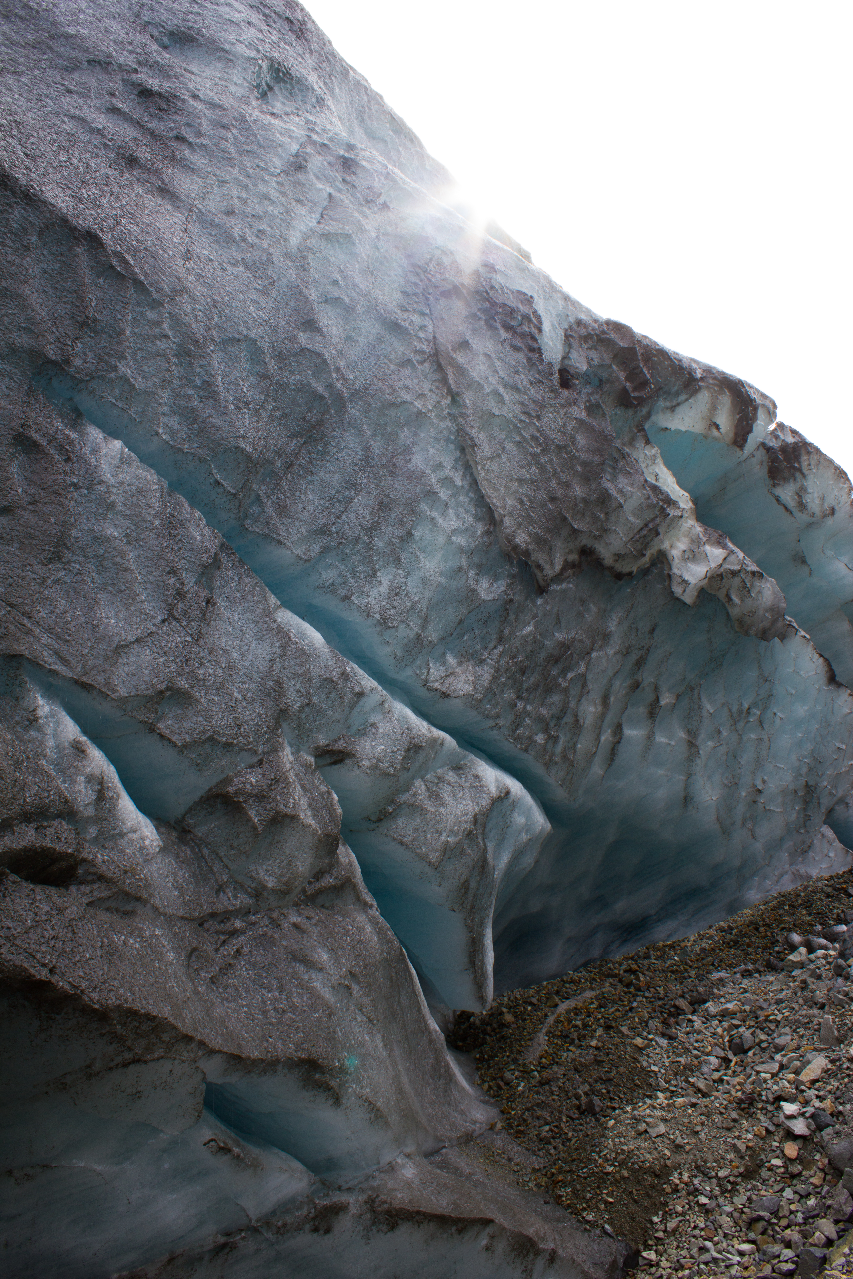
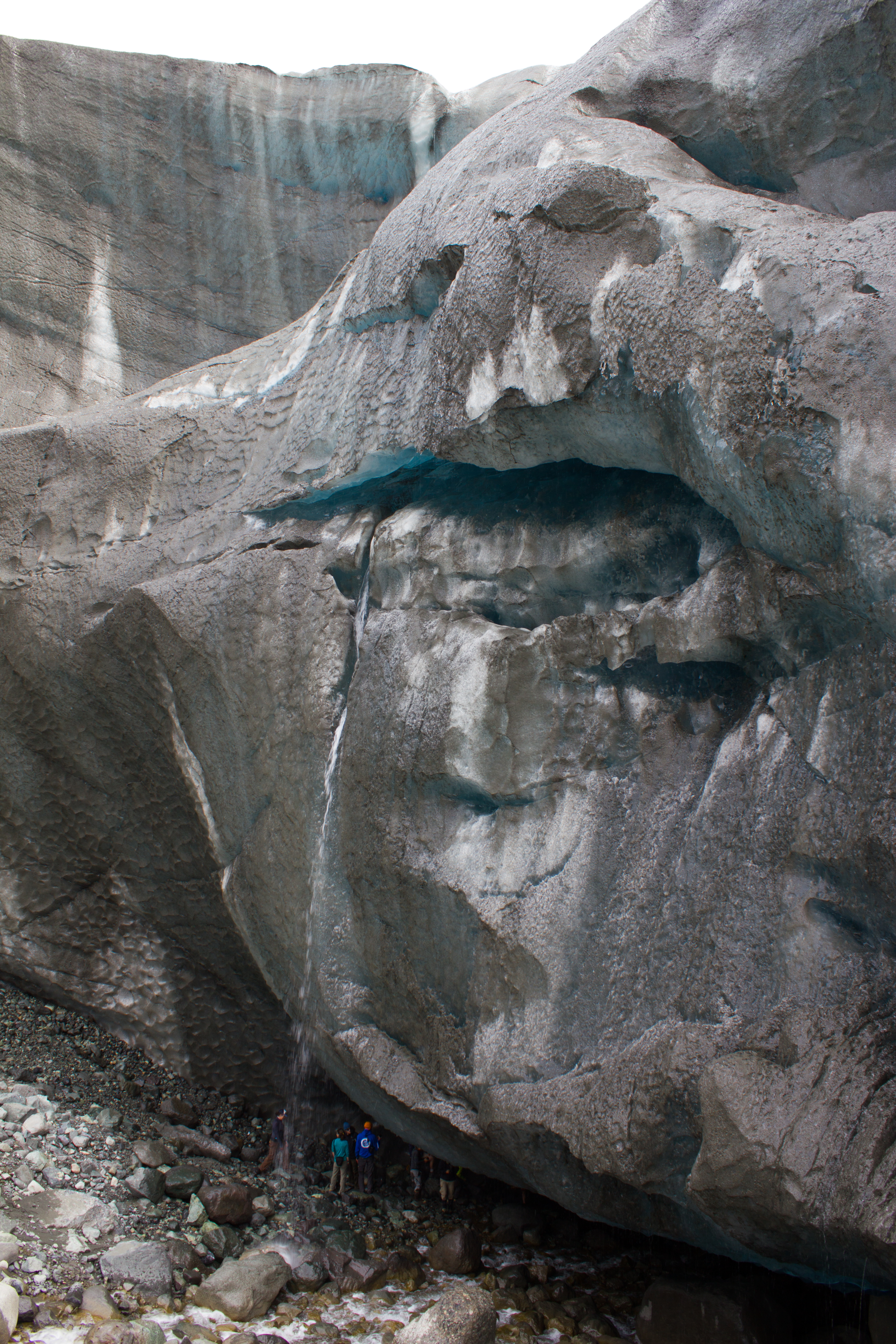
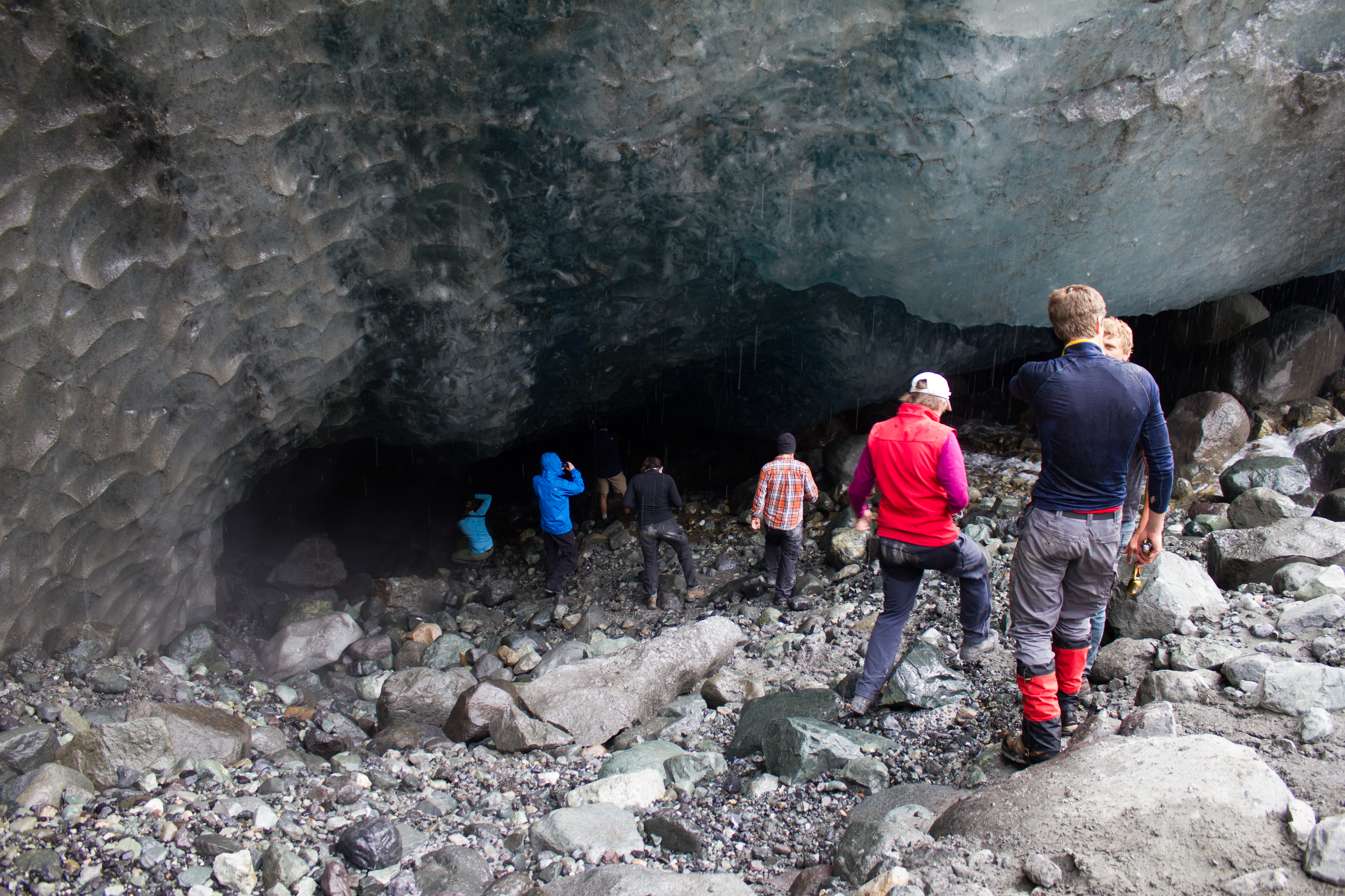
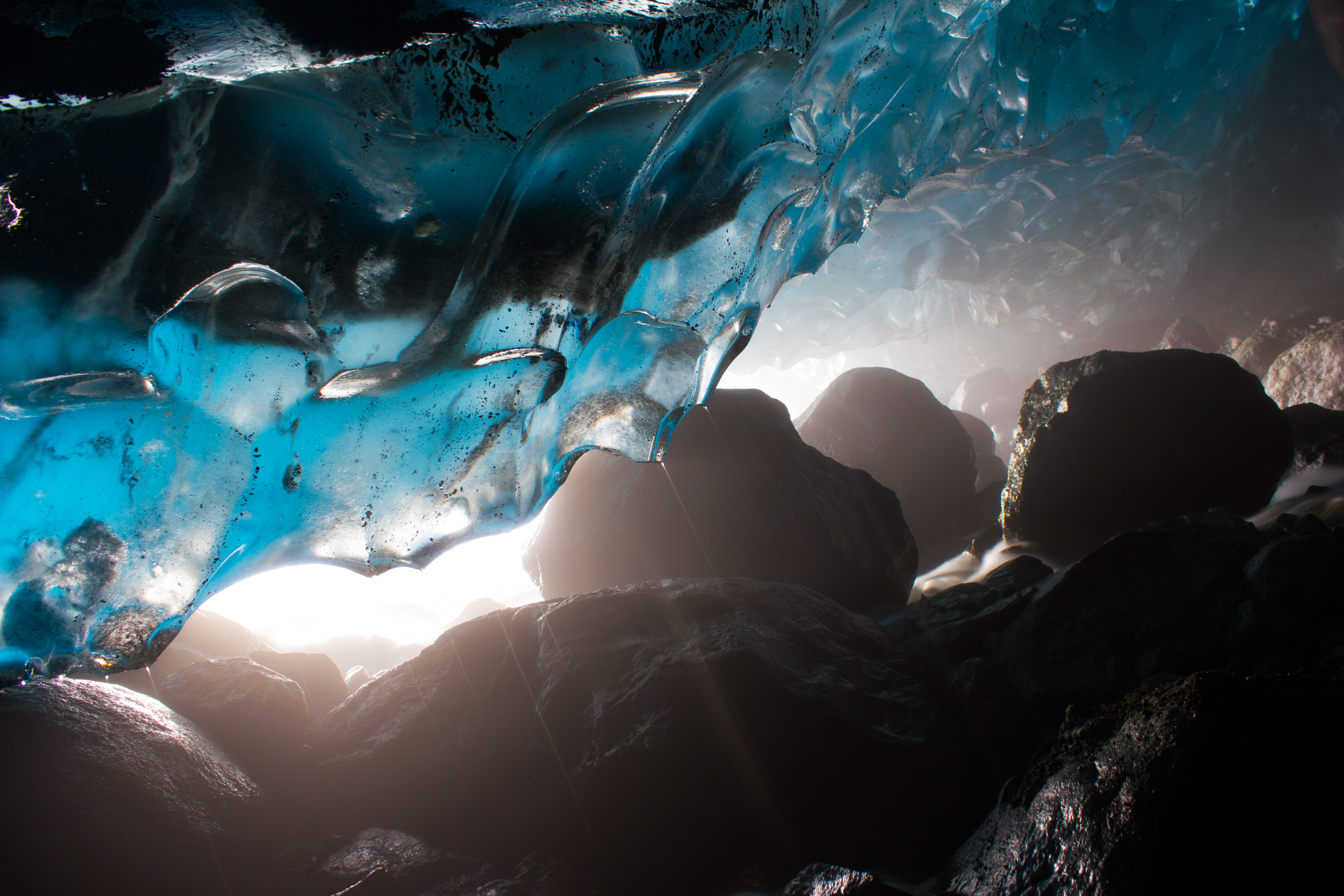
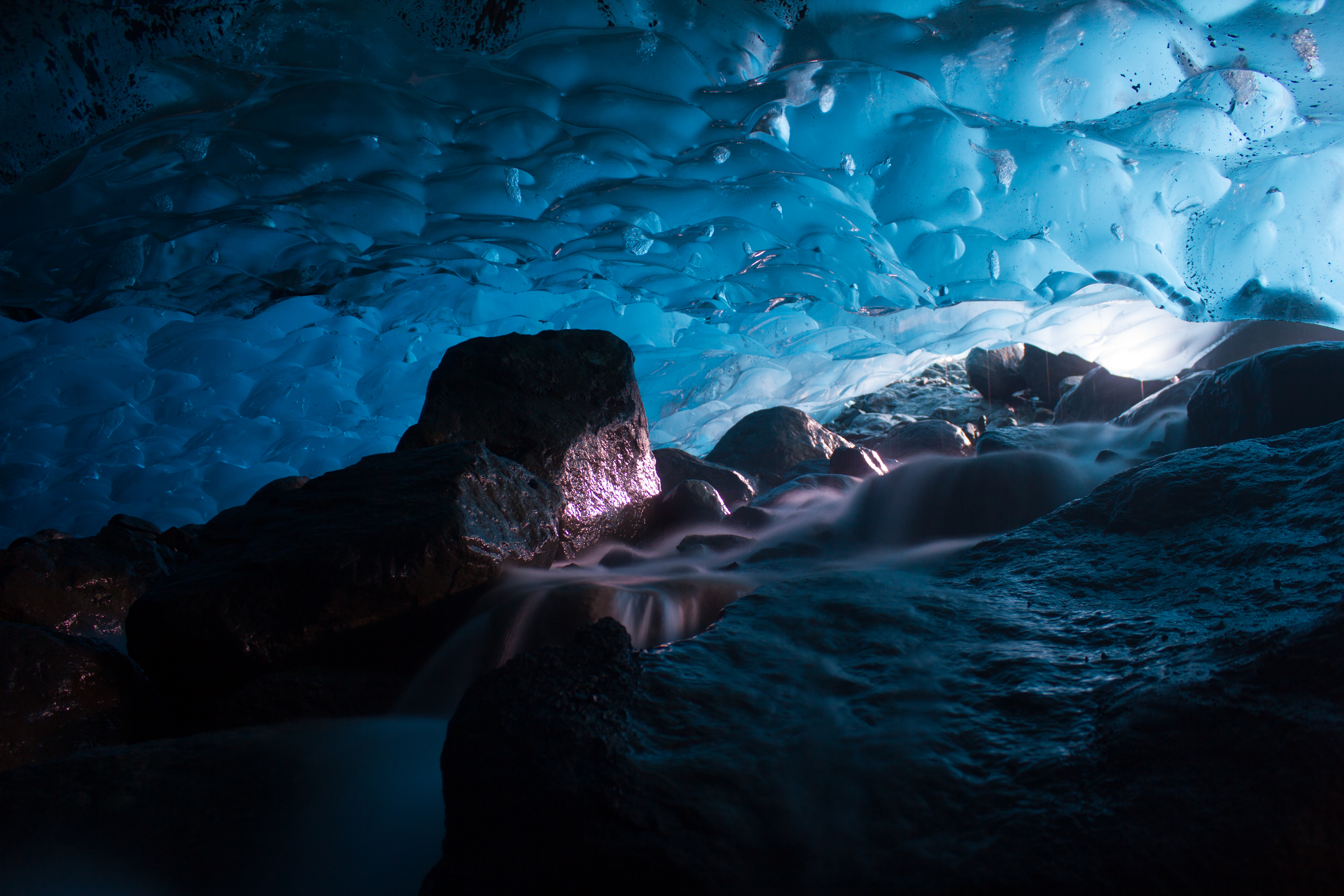
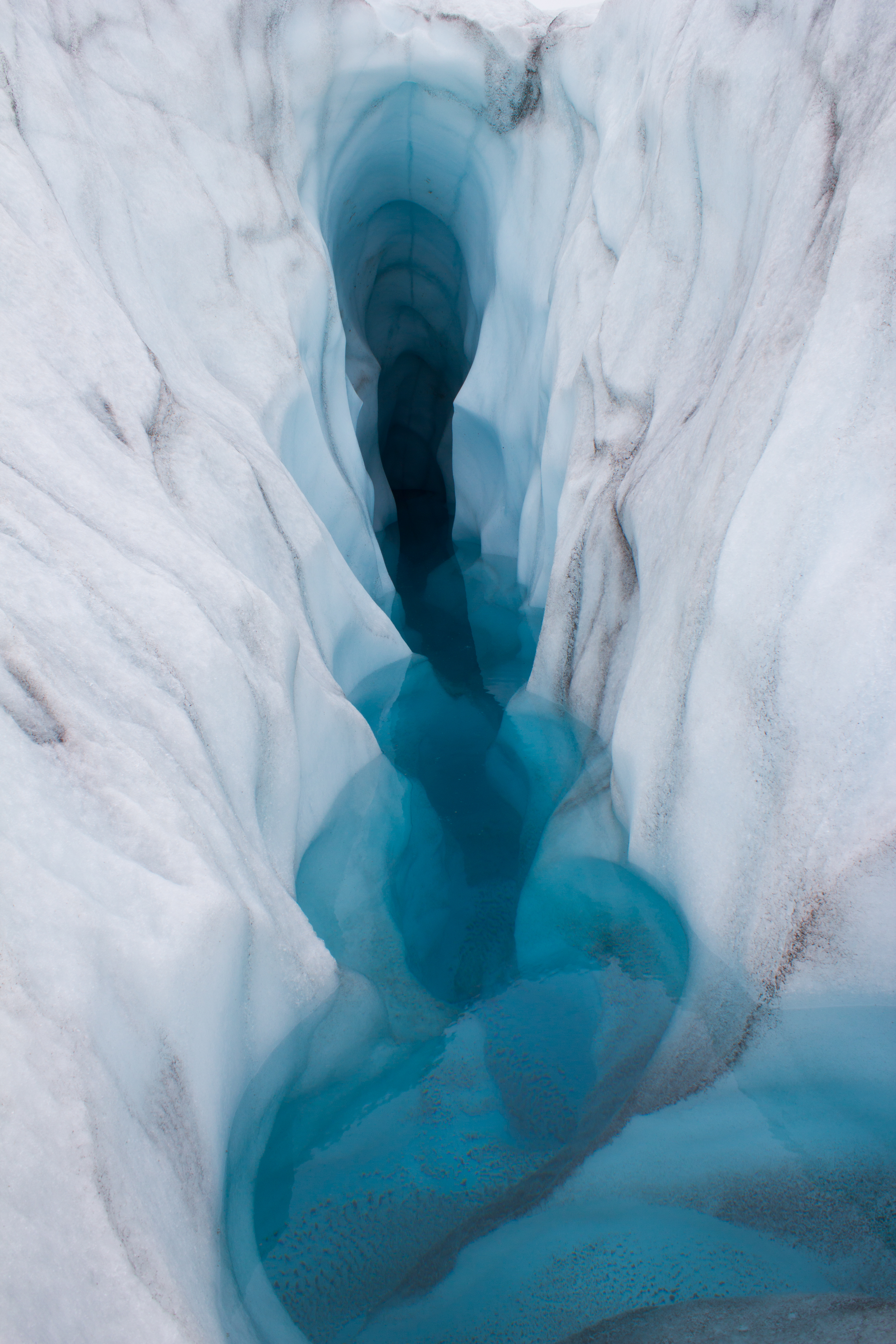
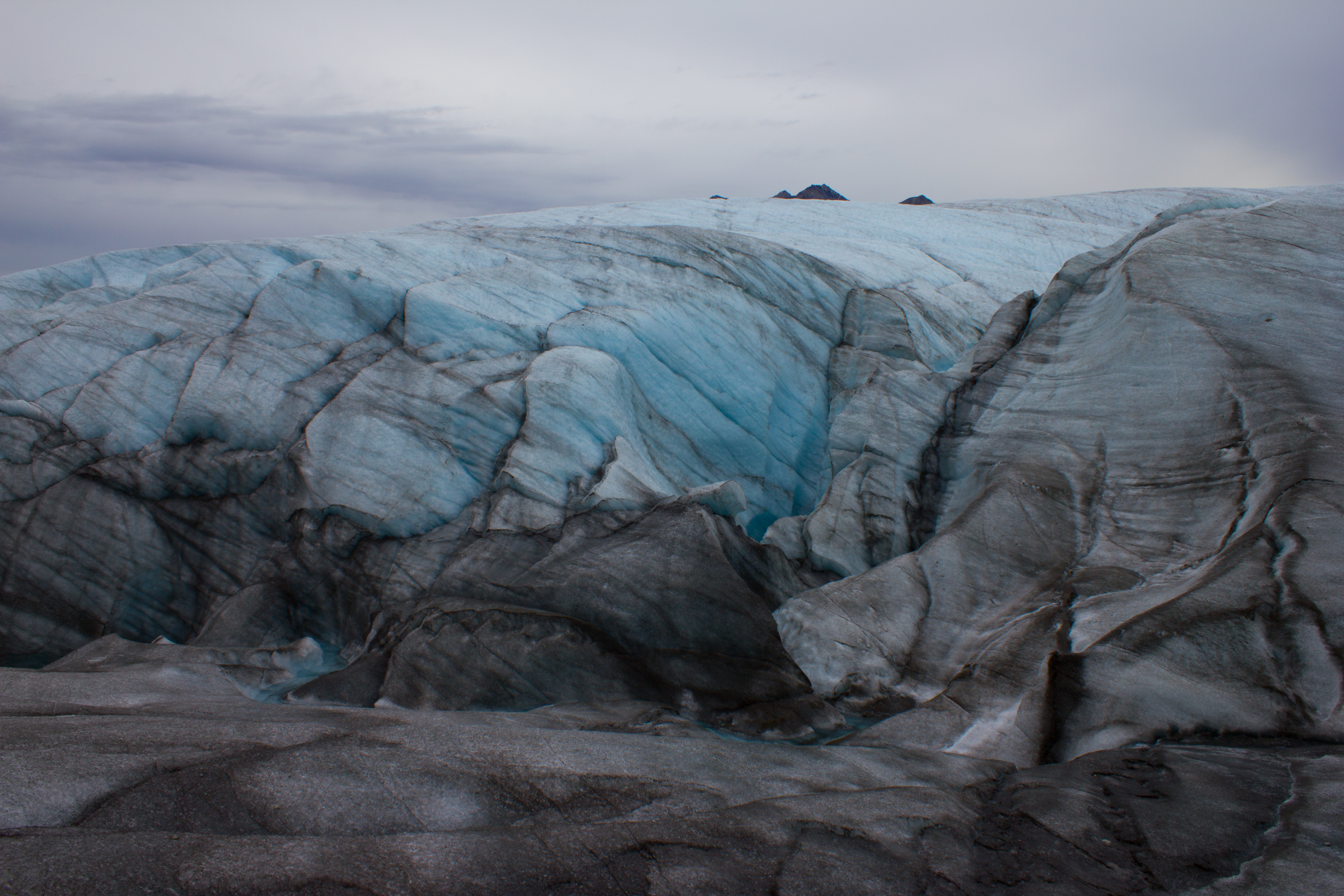
What lies beneath a glacier?
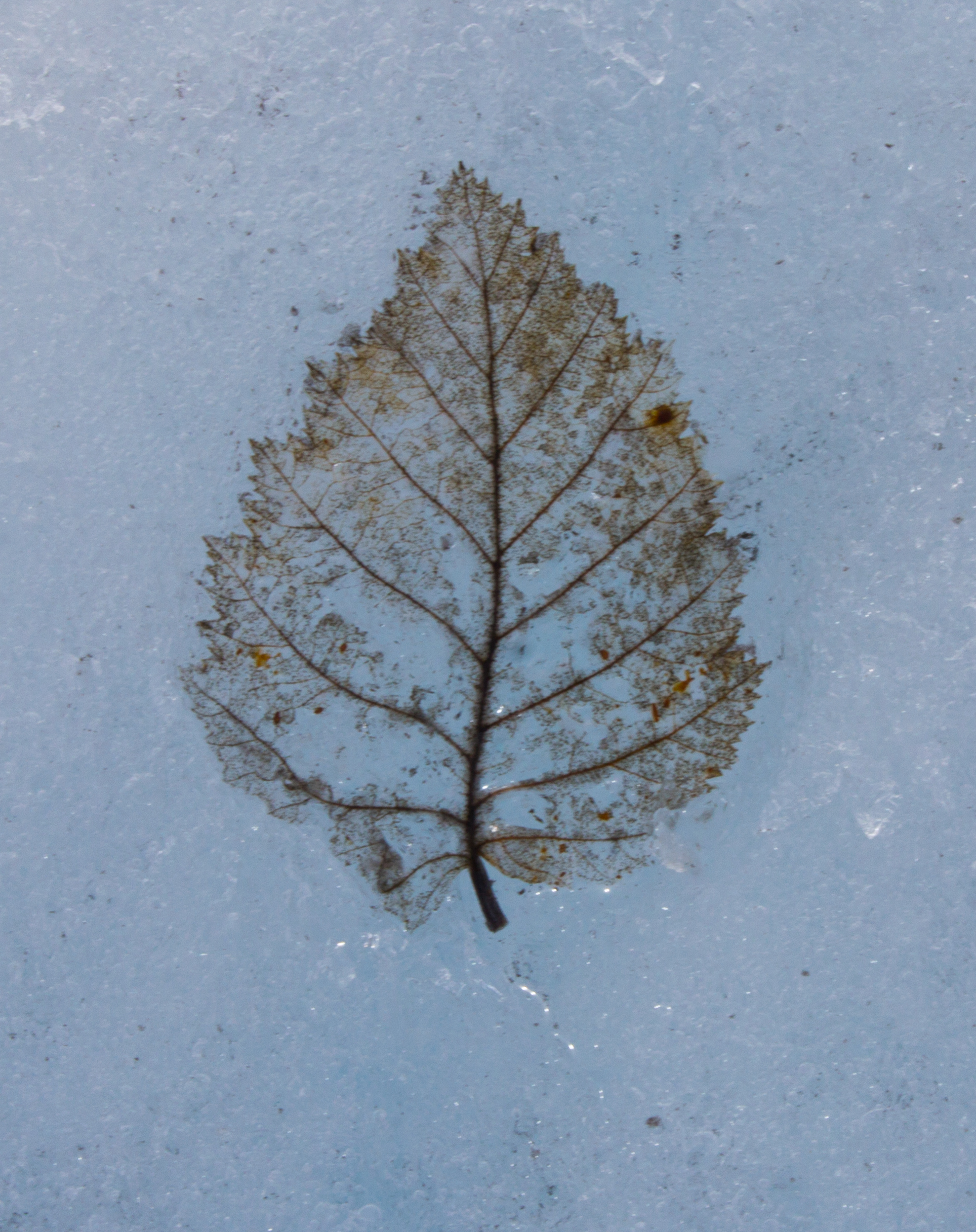
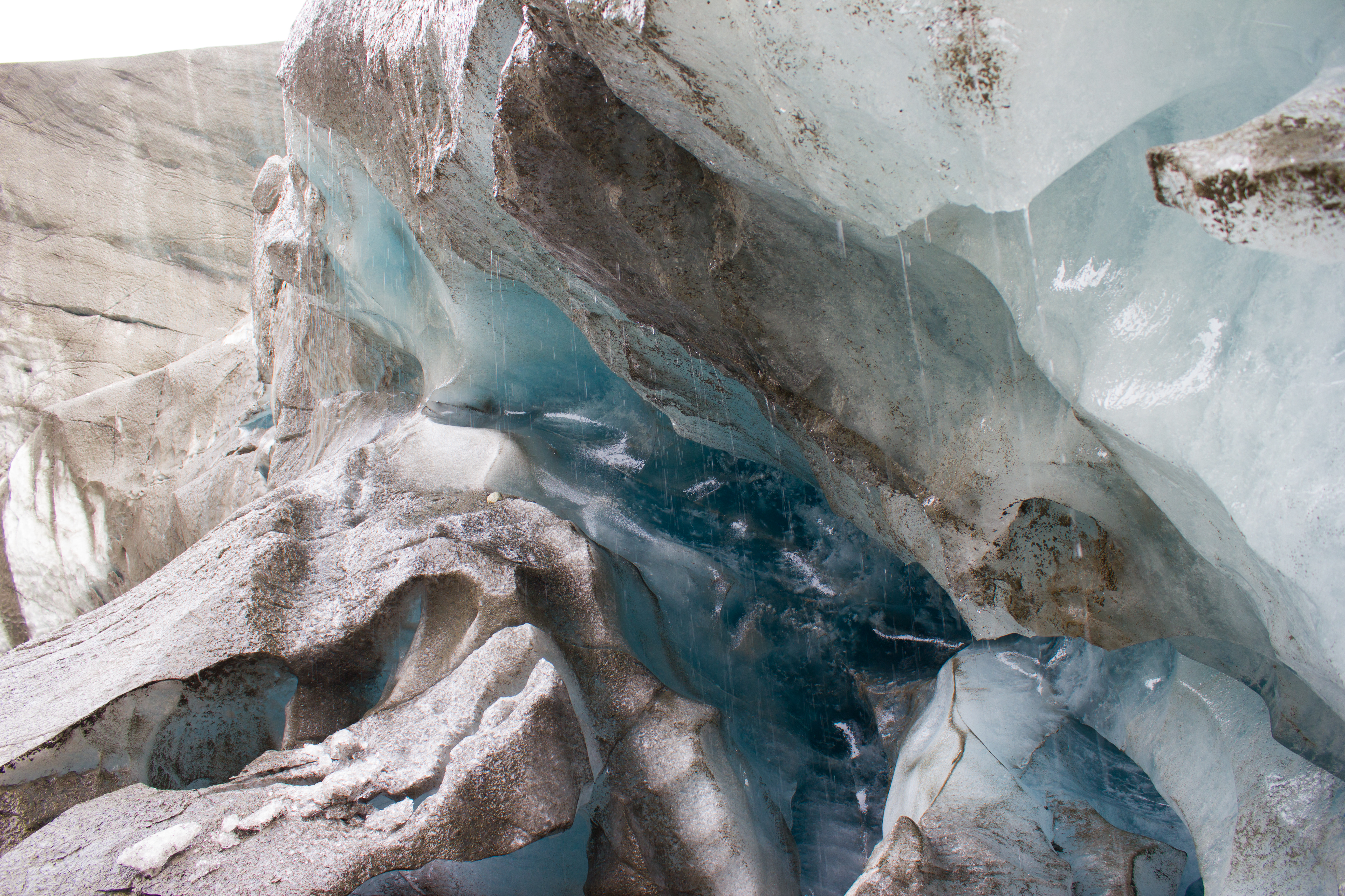
The blue room. I spent longer crouched in a subglacial river than is probably recommended, but it was a hard place to leave.
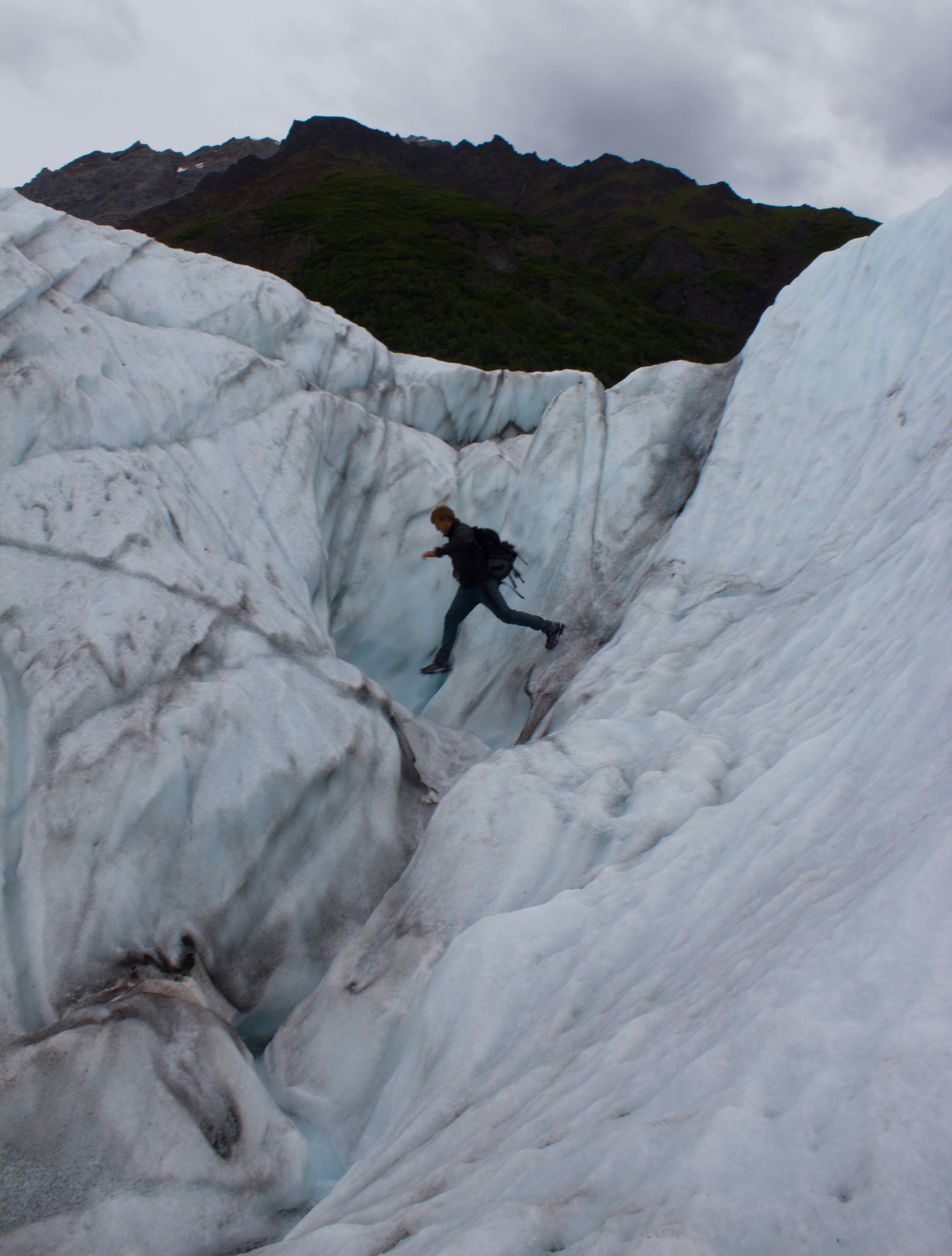
Having seen all there is to see on the surface of a glacier, Colin decides to check out a moulin (not really; don’t do this).
Outlets were a commodity when power was available.
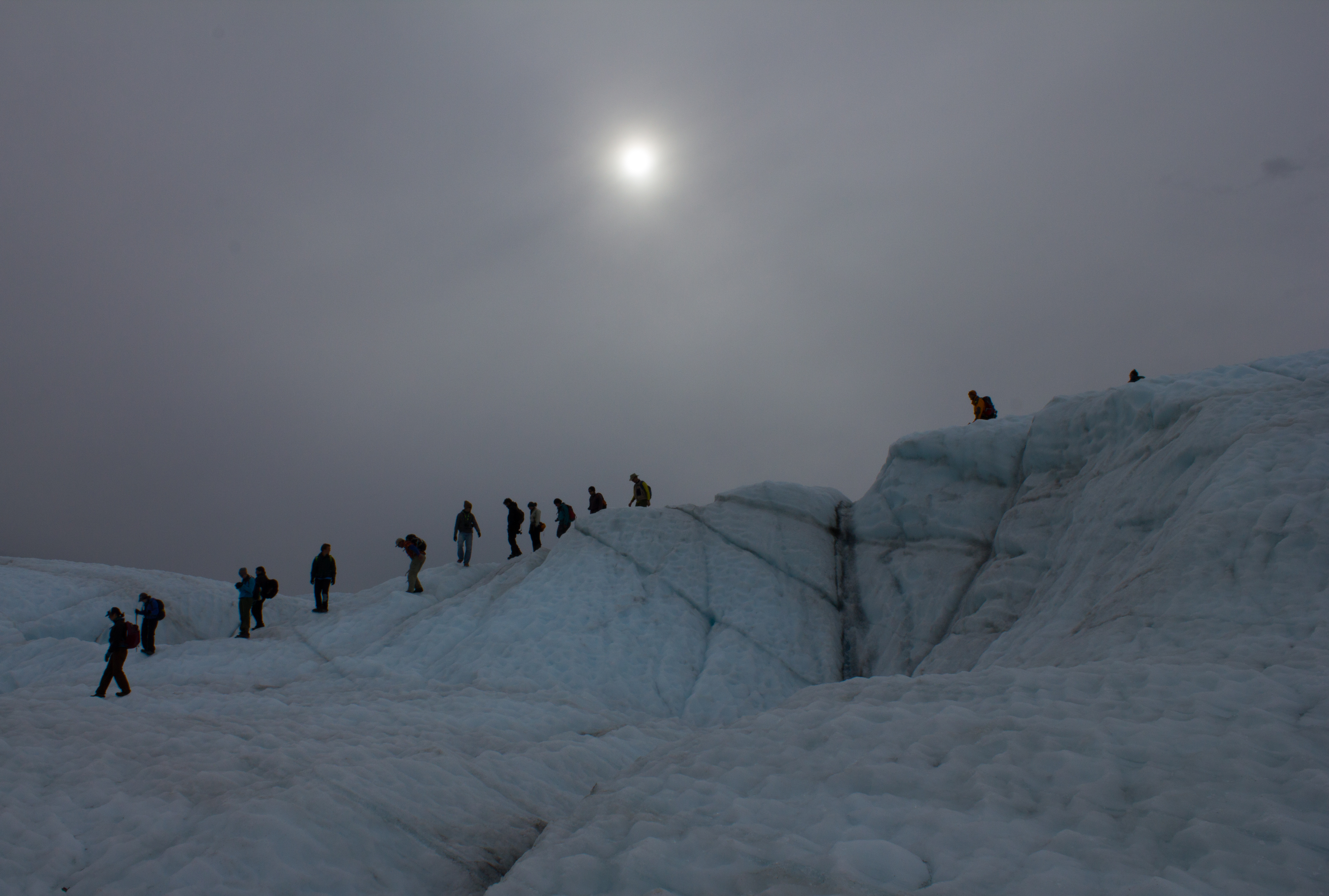
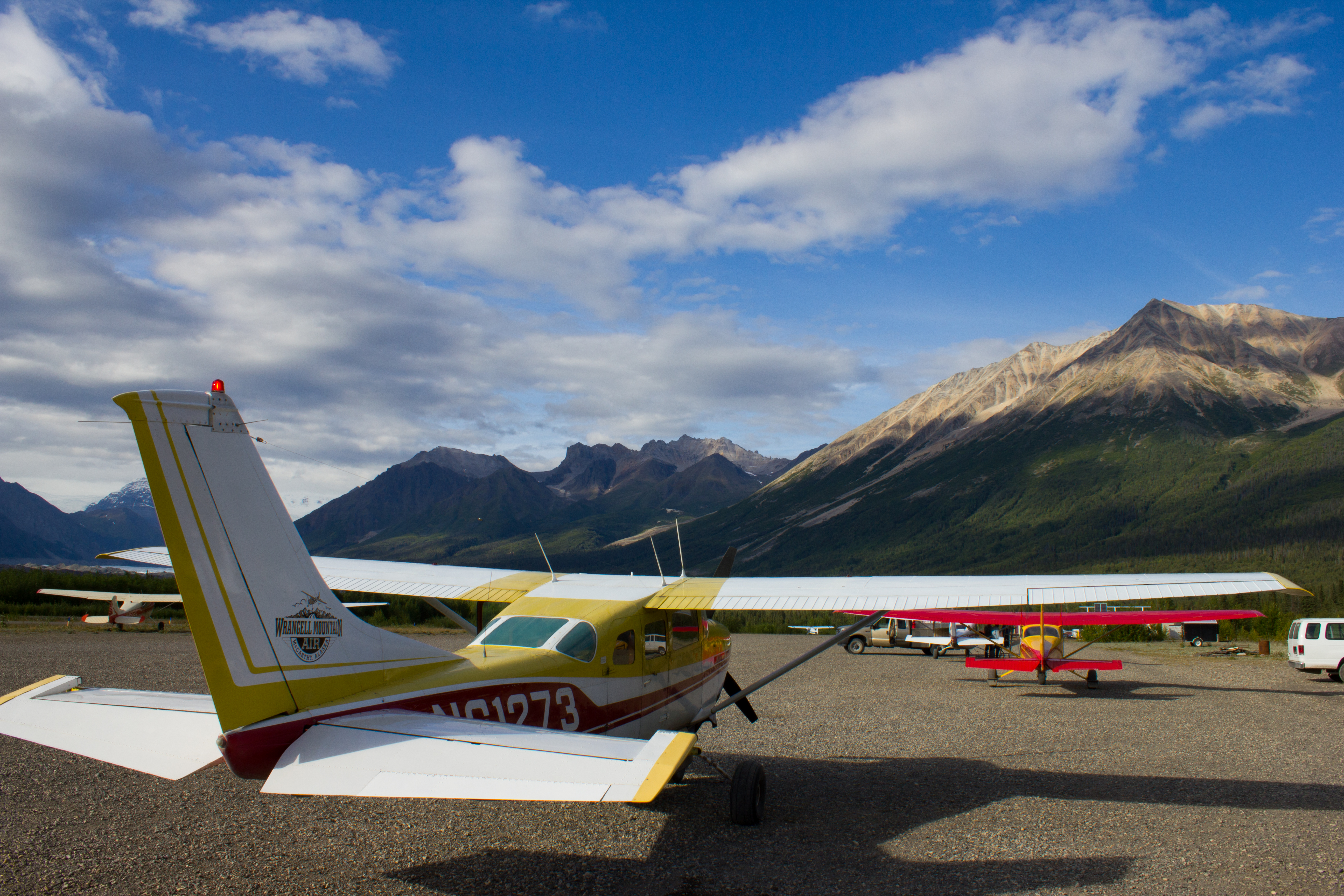
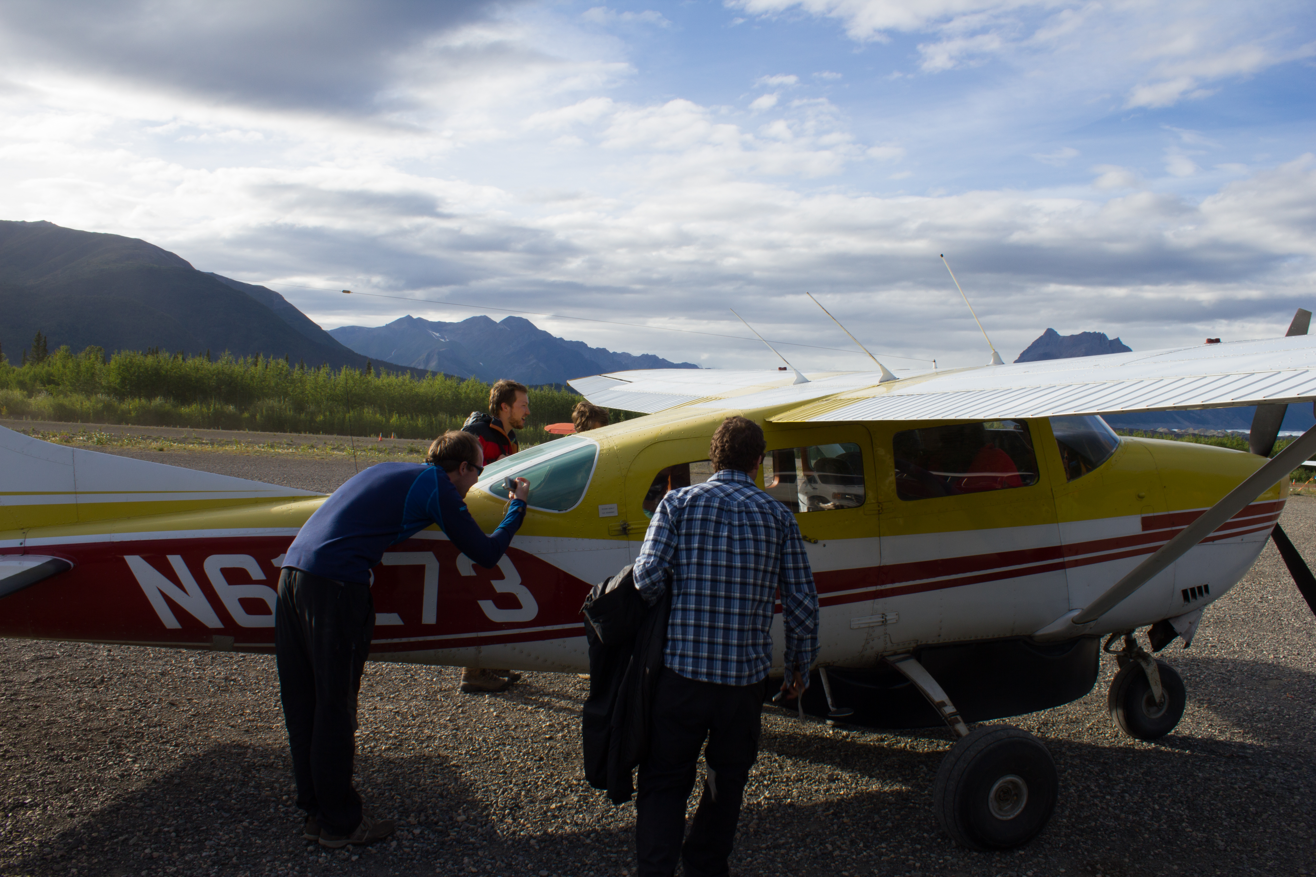
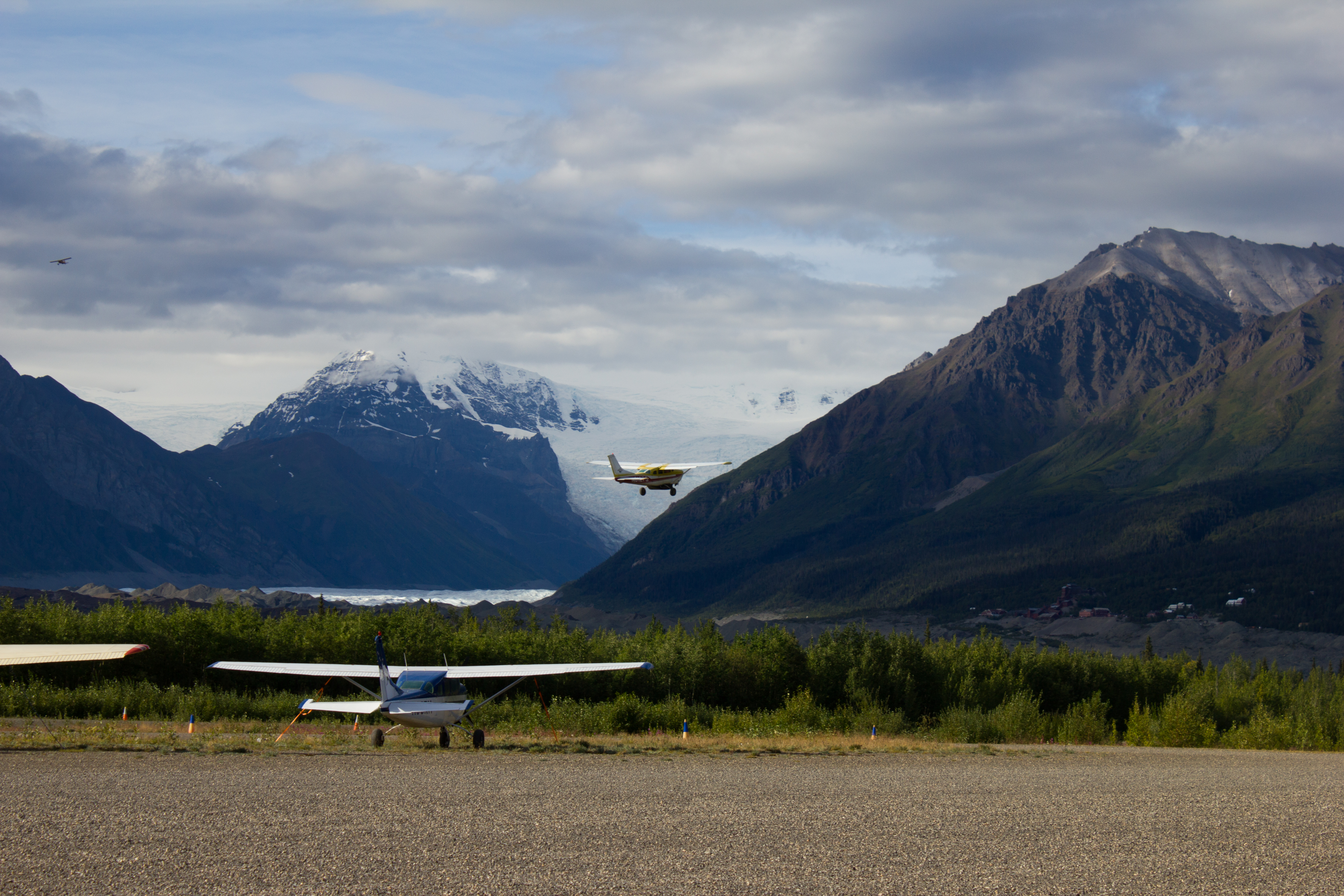
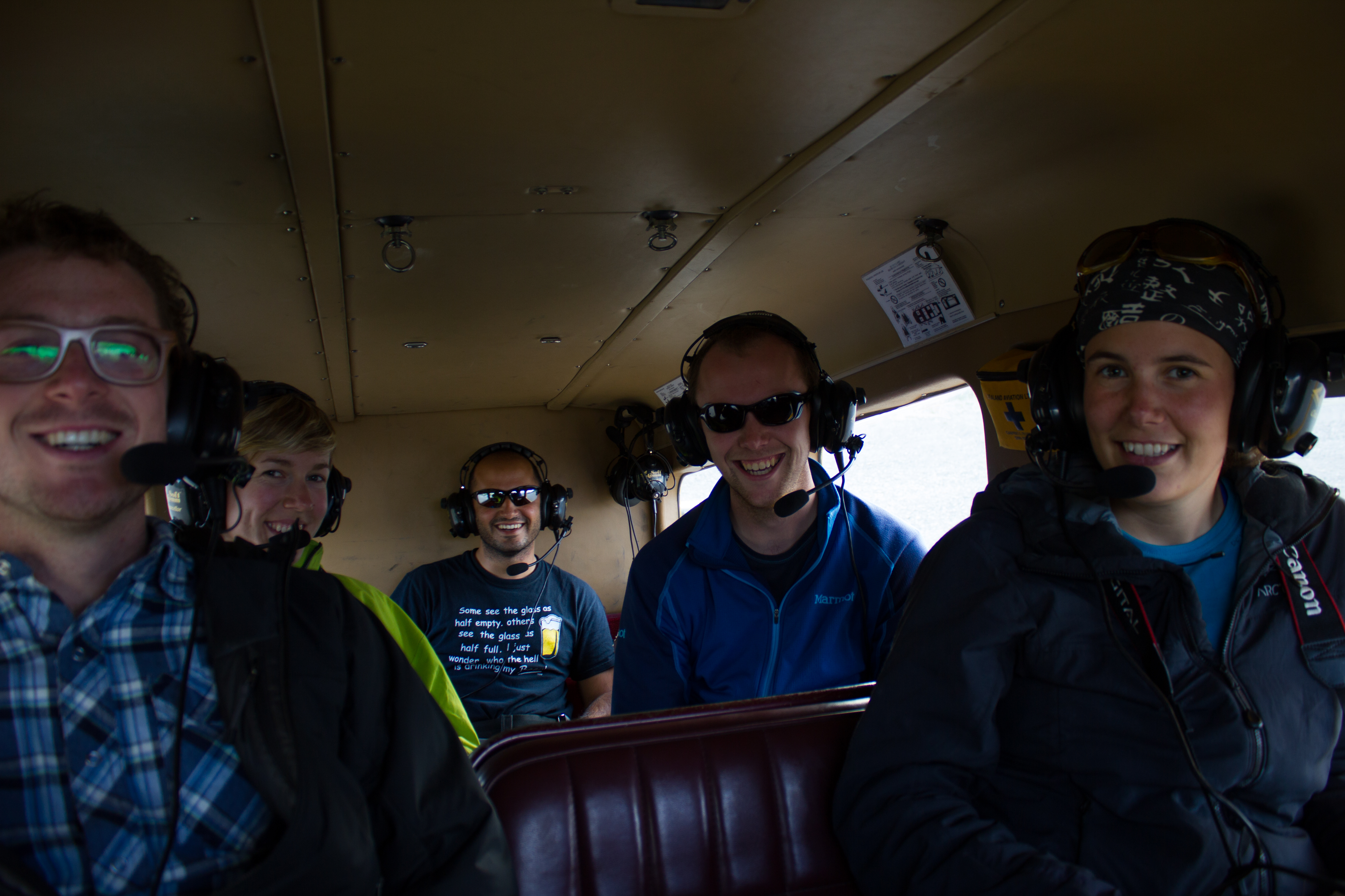
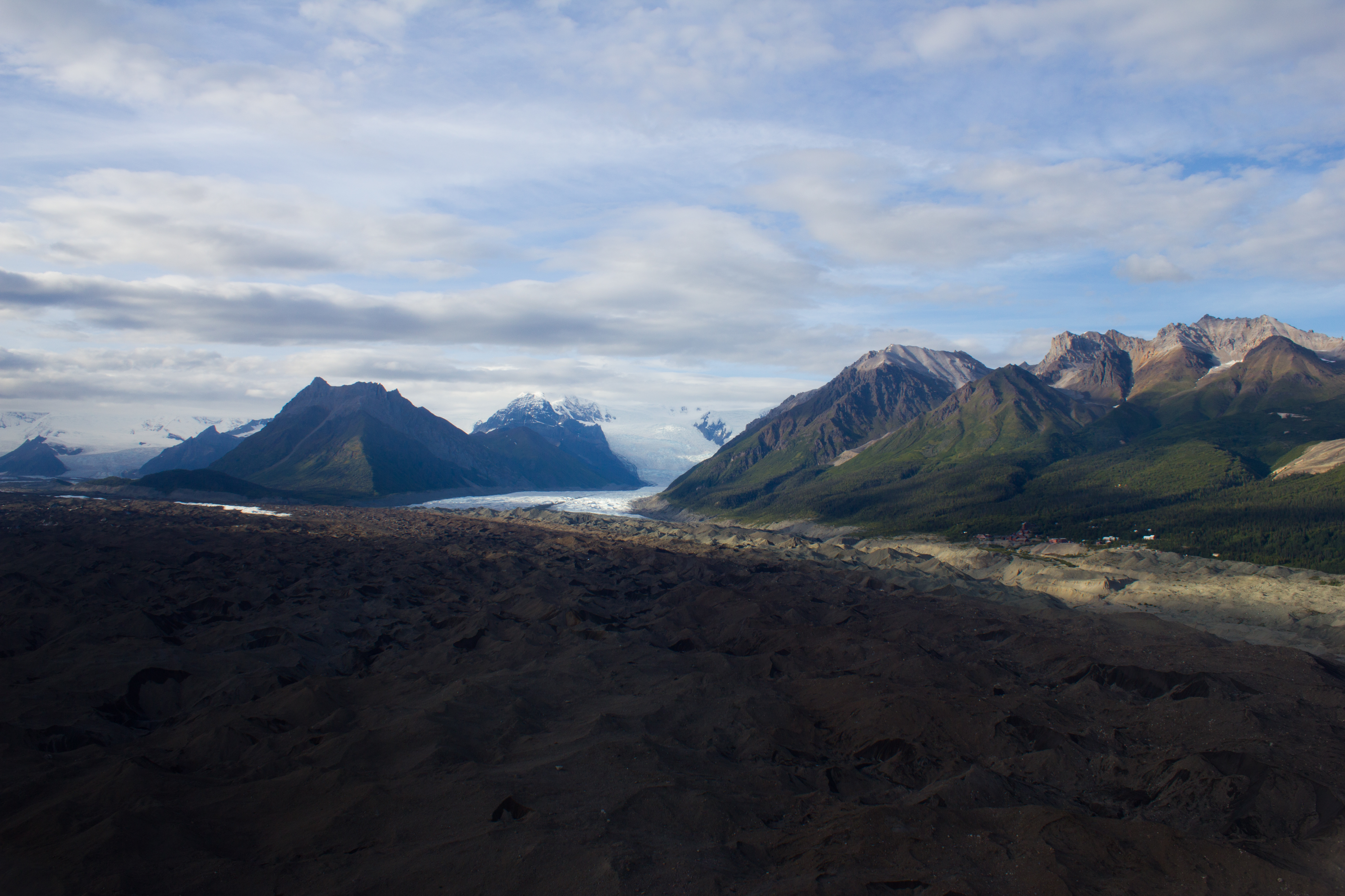
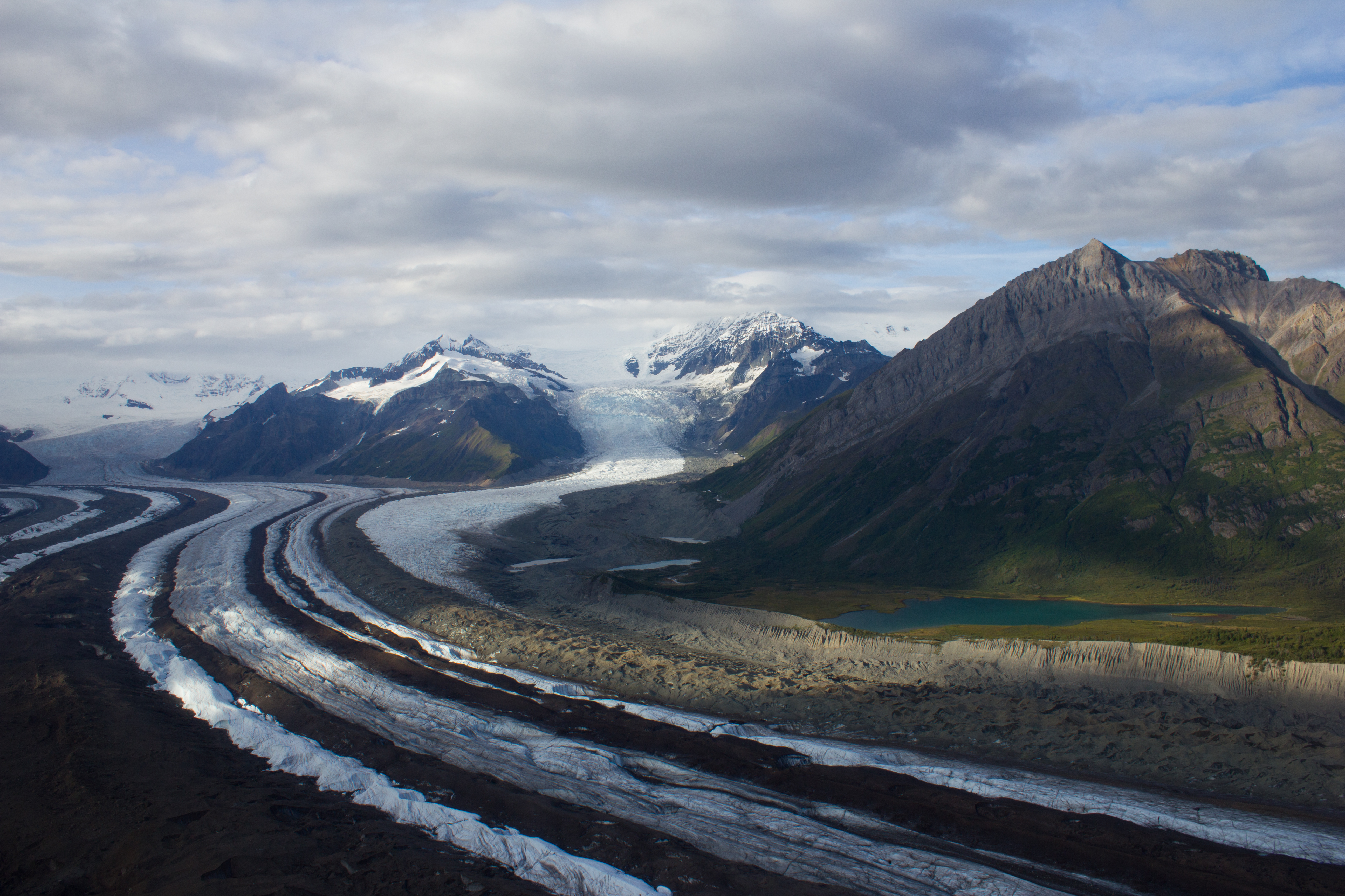
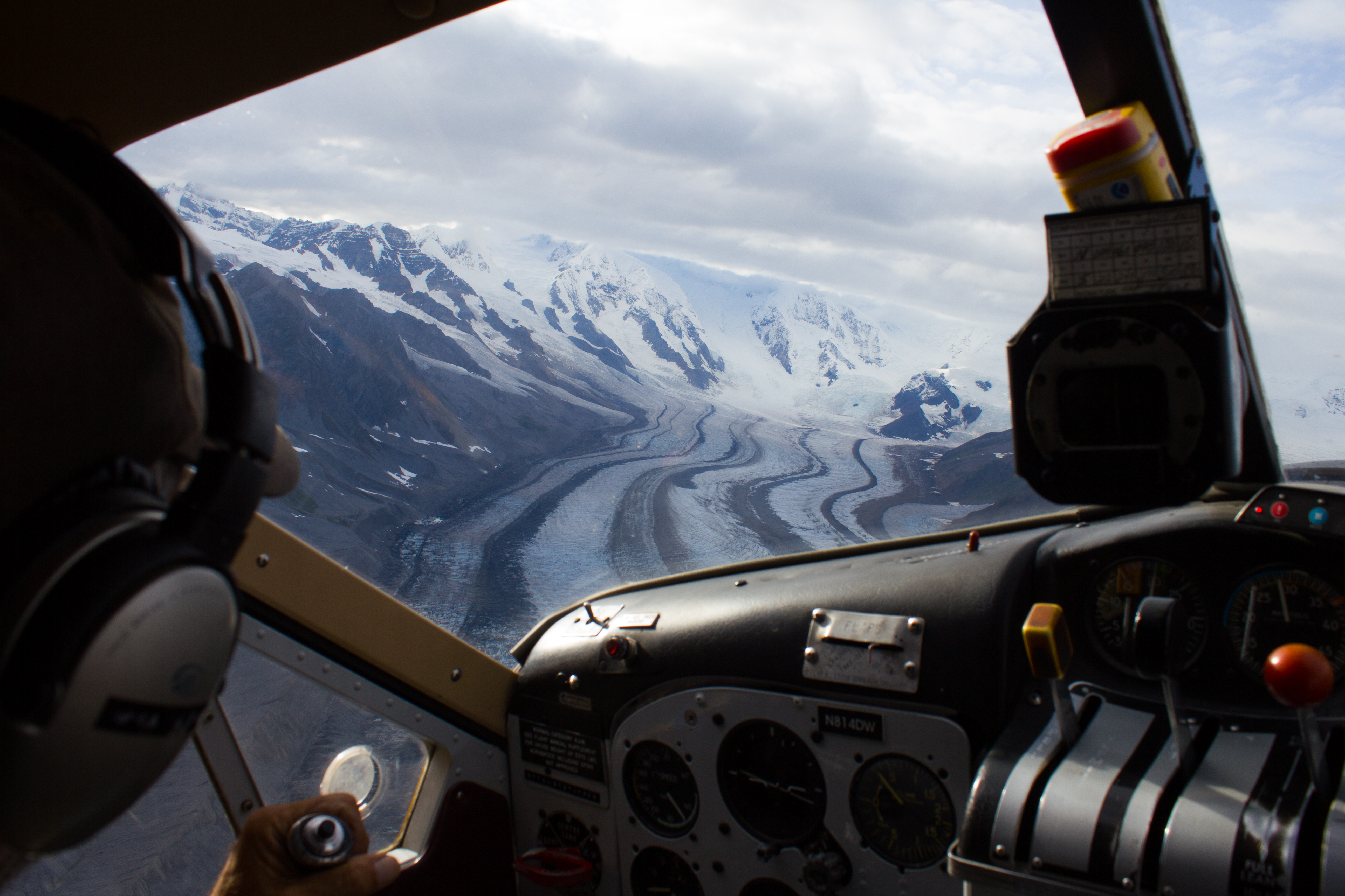
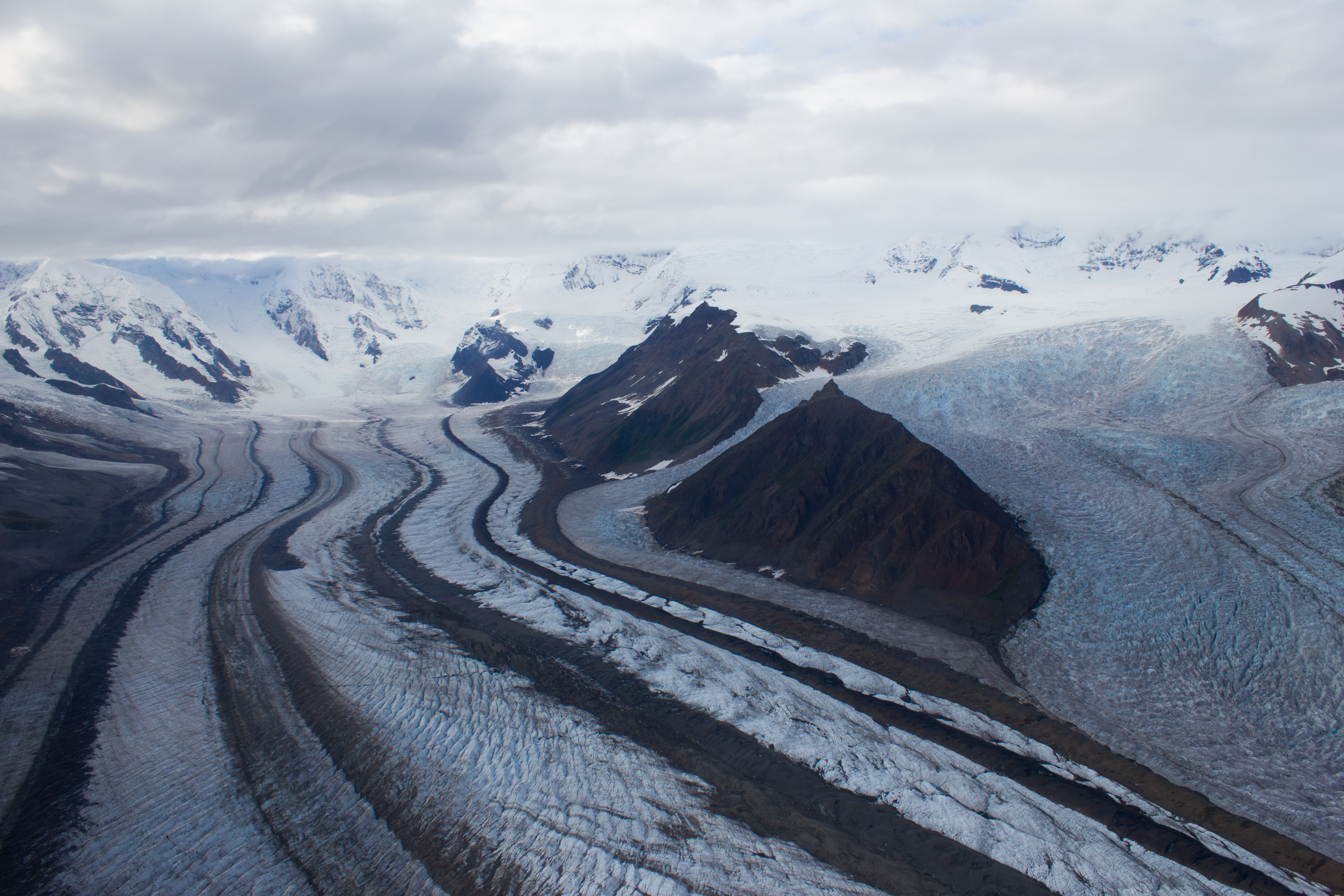
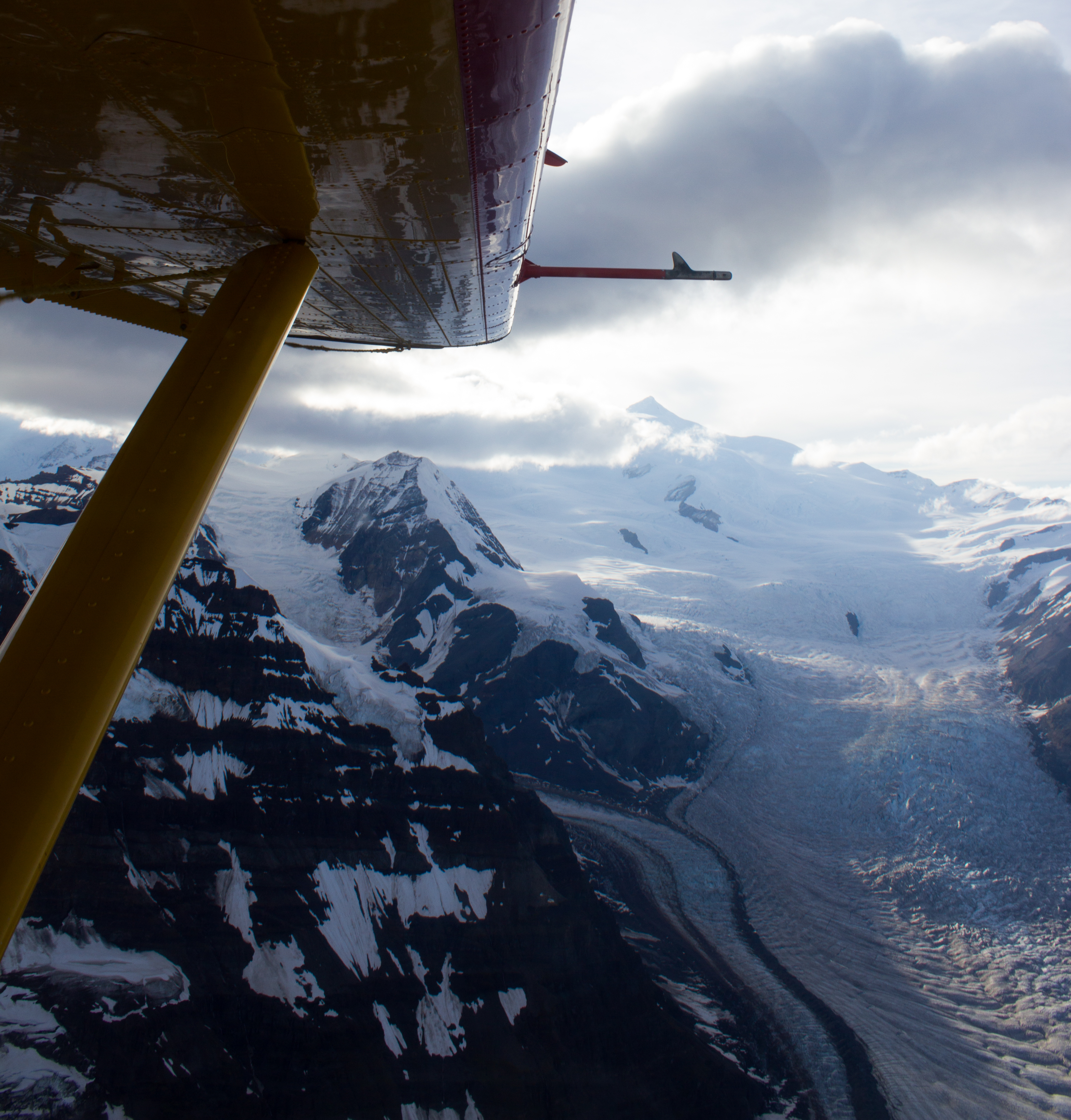
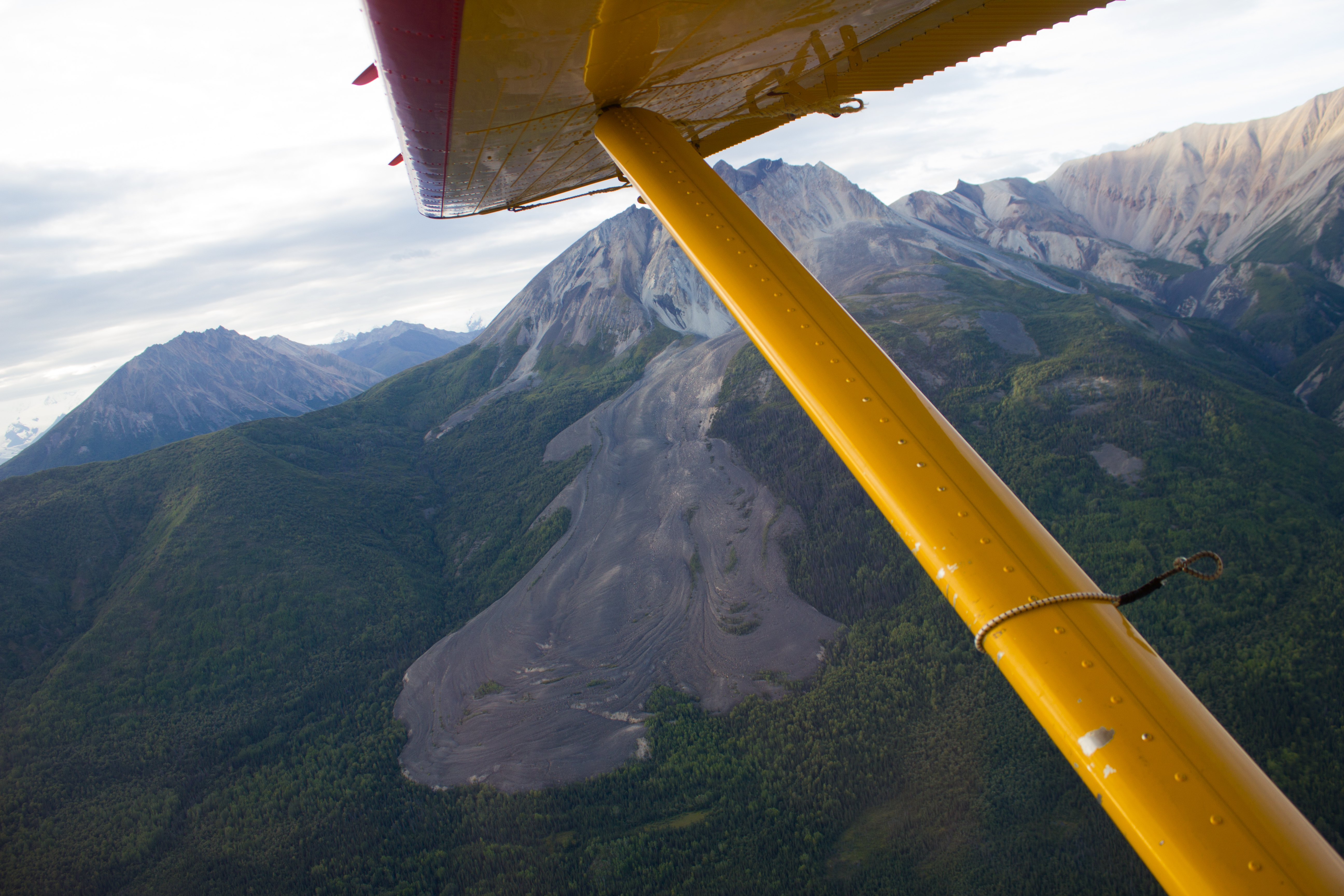
A group of us took advantage of the landing strip in McCarthy, and arranged a flight over the surrounding glaciers and mountains.
The debris covered terminus of the Kennicott glacier. The village of Kennicott can be seen along the right margin.
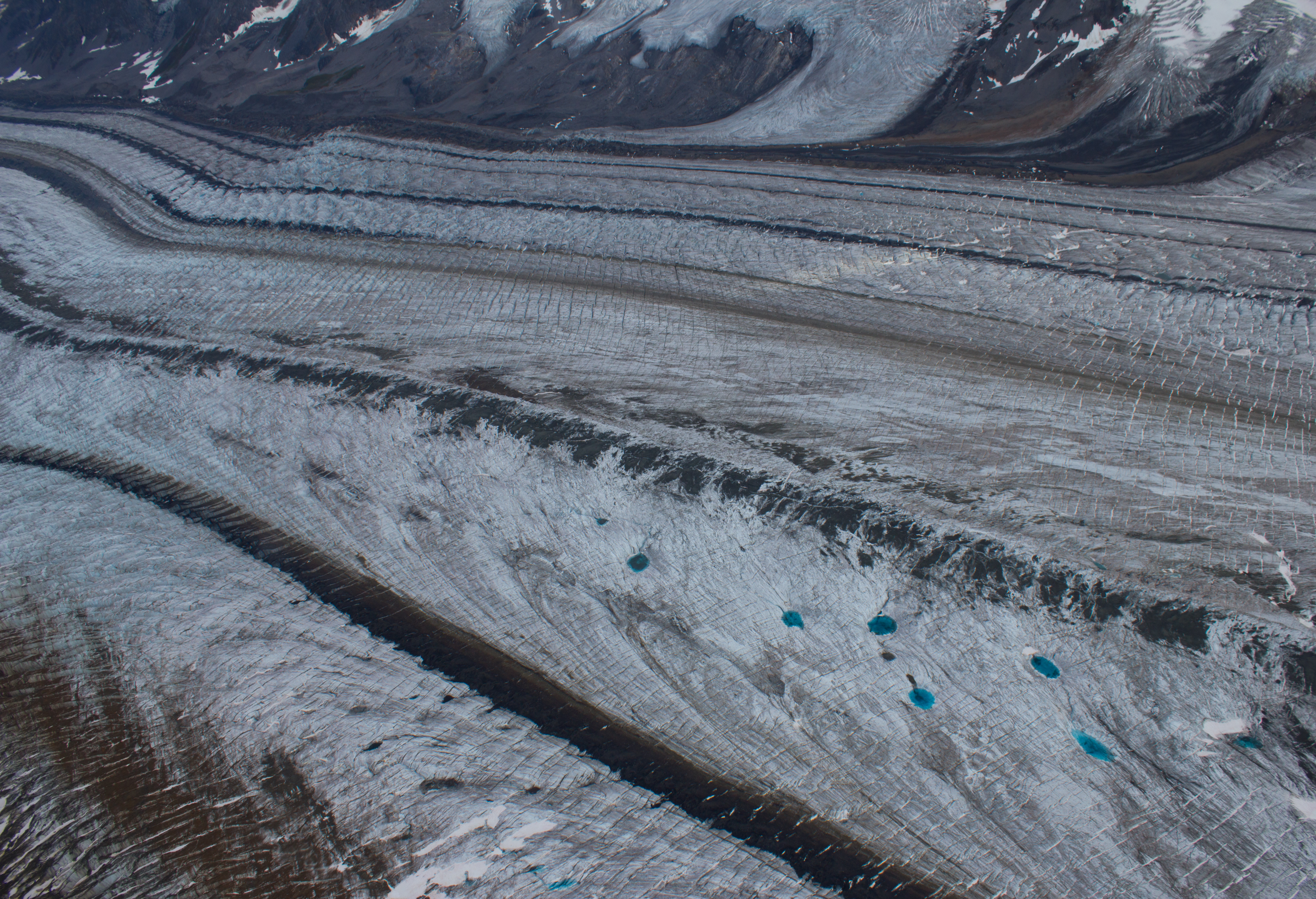
Further up the Kennicott, medial moraines are visible as dark bands on the surface, and are formed by the merging of several tributary glaciers (and their lateral moraines).
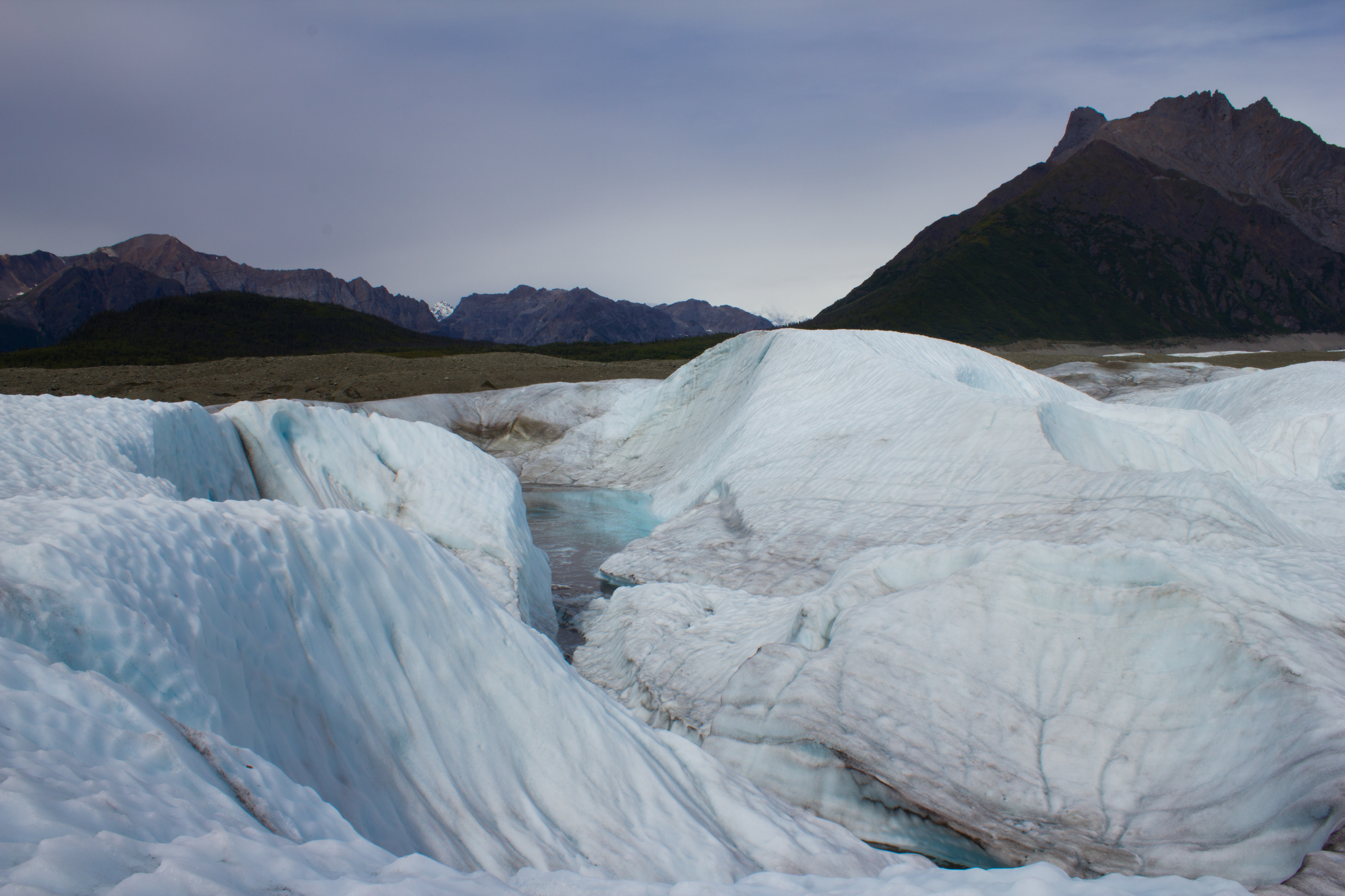
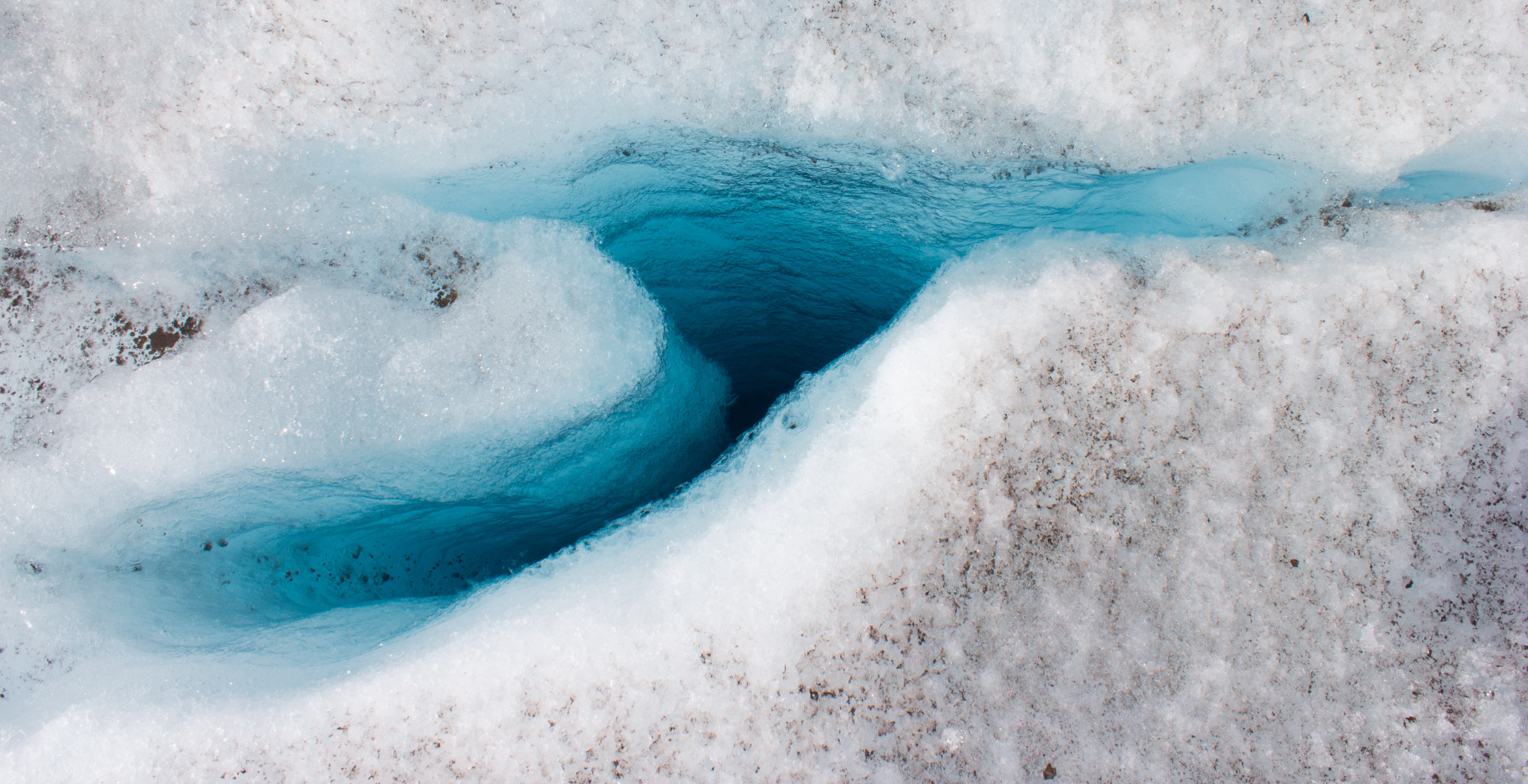
Medial moraines and incredibly blue melt water pools.