At the beginning of August, I was fortunate enough to take part in the International Glaciology Summer School, in beautiful Alaska. The school is run every two years, directed by Regine Hock of the University of Alaska Fairbanks, and brings together students and instructors from all over the world. Based in the Wrangell mountains, in the old mining village of McCarthy, the school provides an opportunity to learn from experts in a range of fields within glaciology, and perhaps more importantly, provides a platform to engage with and get to know others embarking on research in the science. The 10 days of the course were some of the most enjoyable of my academic career, and I left inspired by the enthusiasm and curiosity of my peers.
Below are images from some of the activities that took place outside of the classroom (click on images to enlarge).
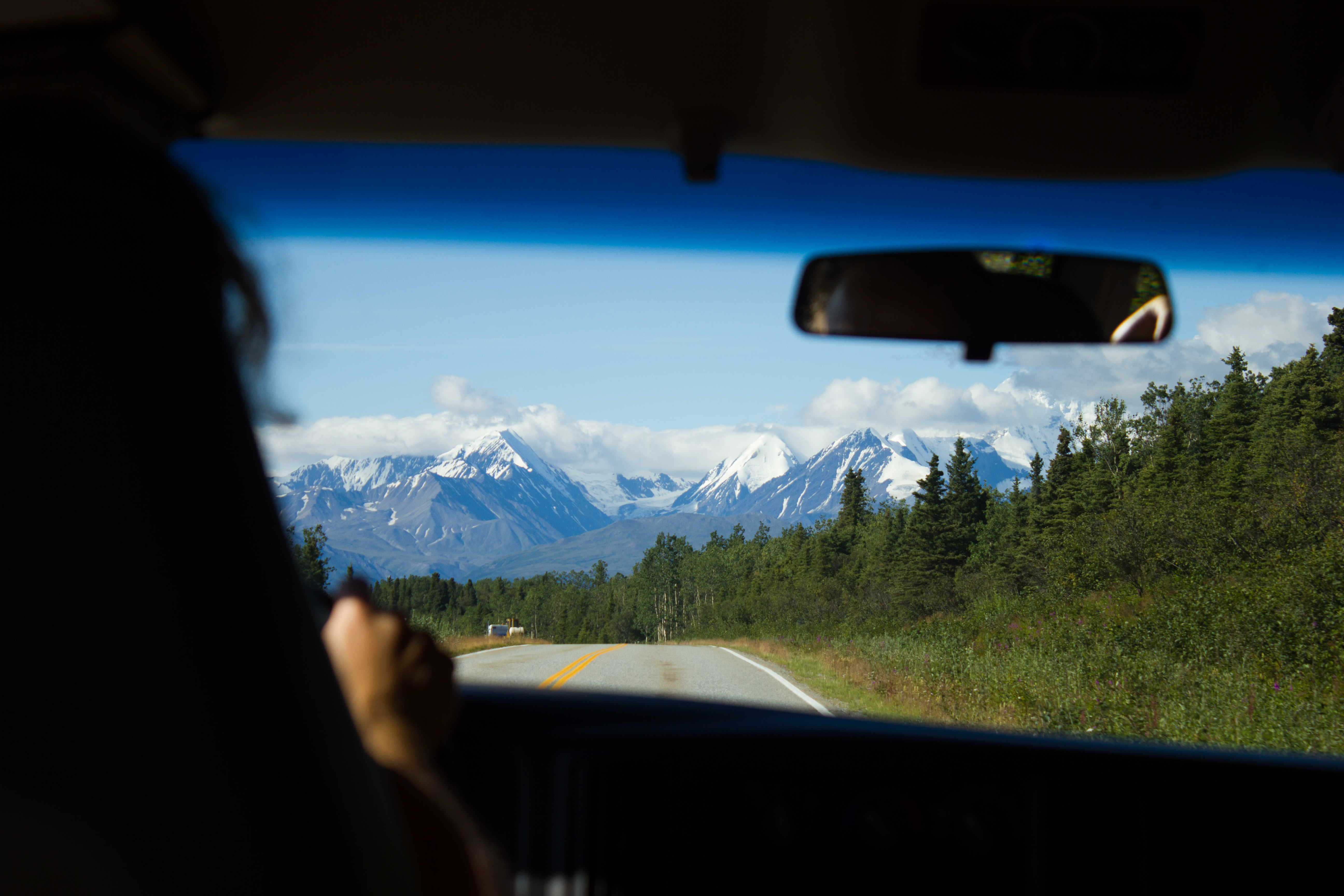
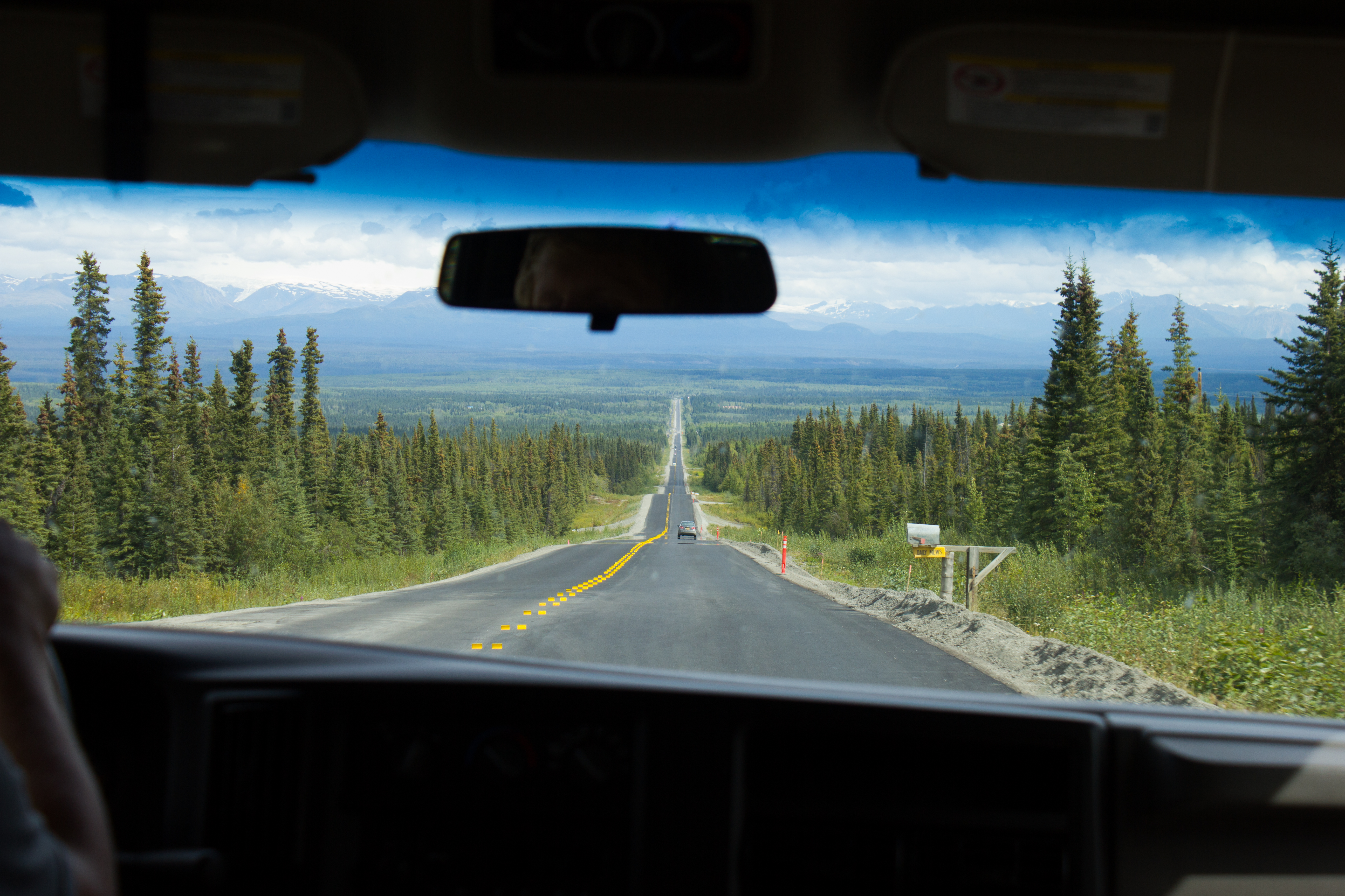
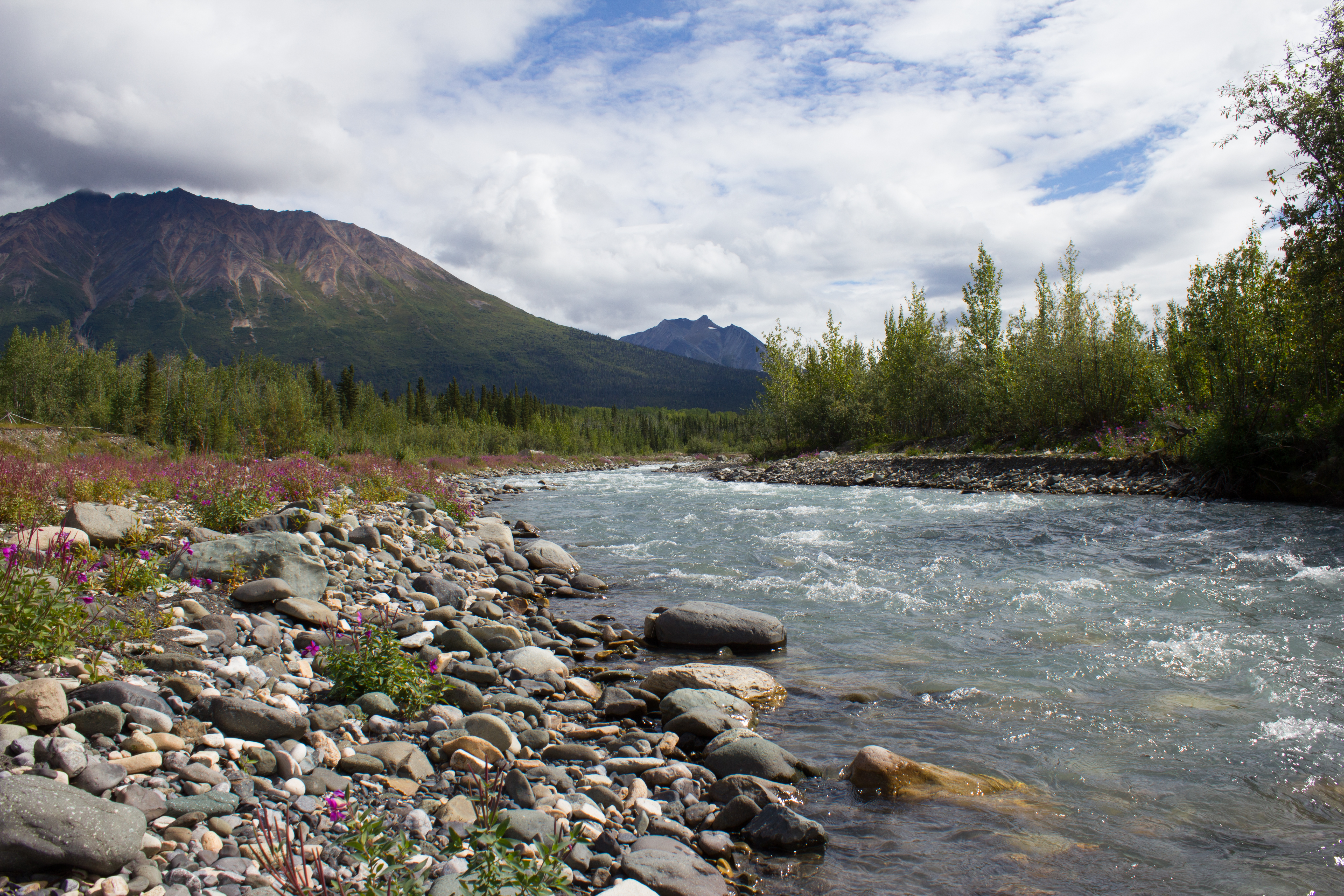
Hitting the road from Fairbanks to McCarthy, and aiming for the mountains.
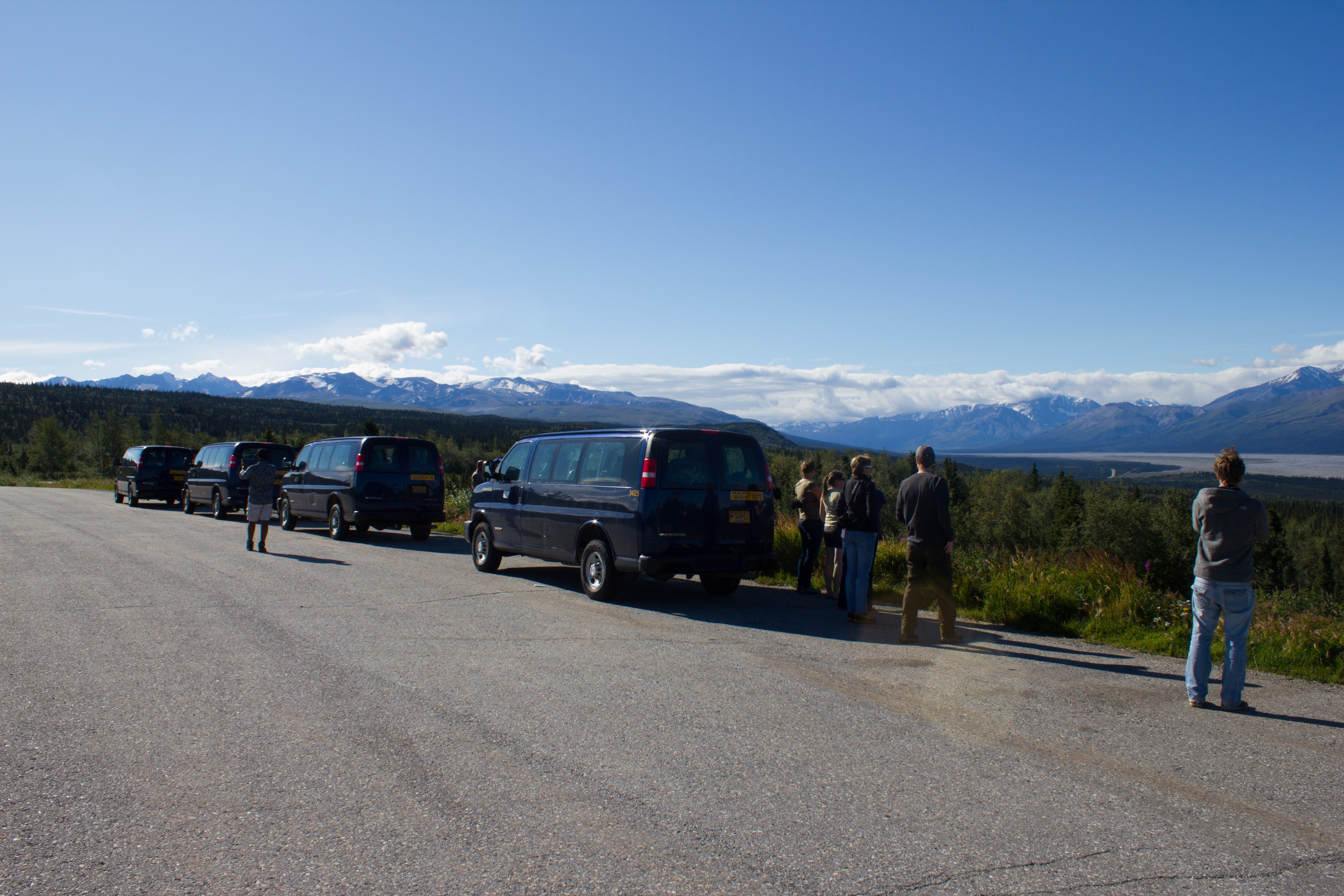
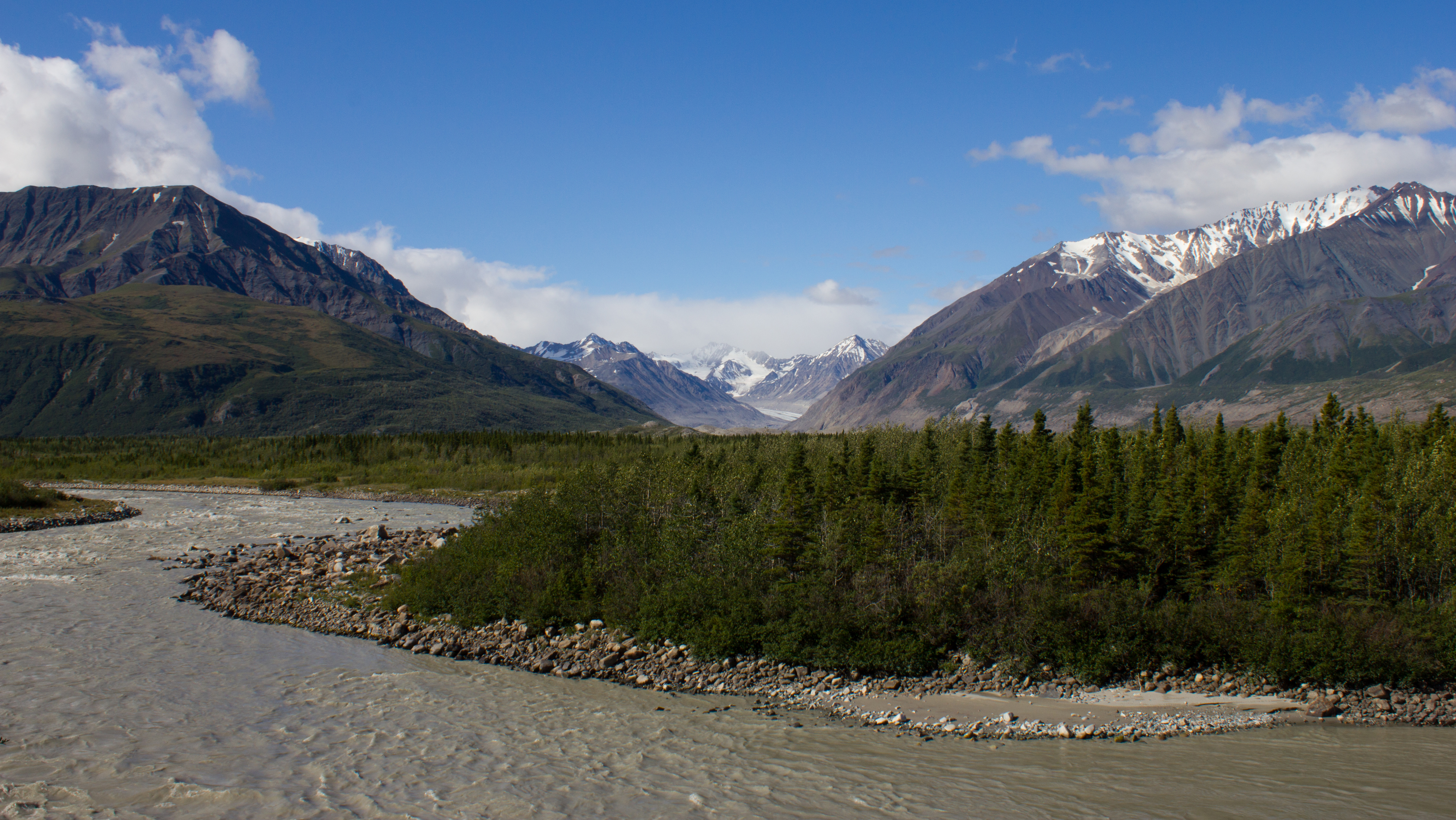
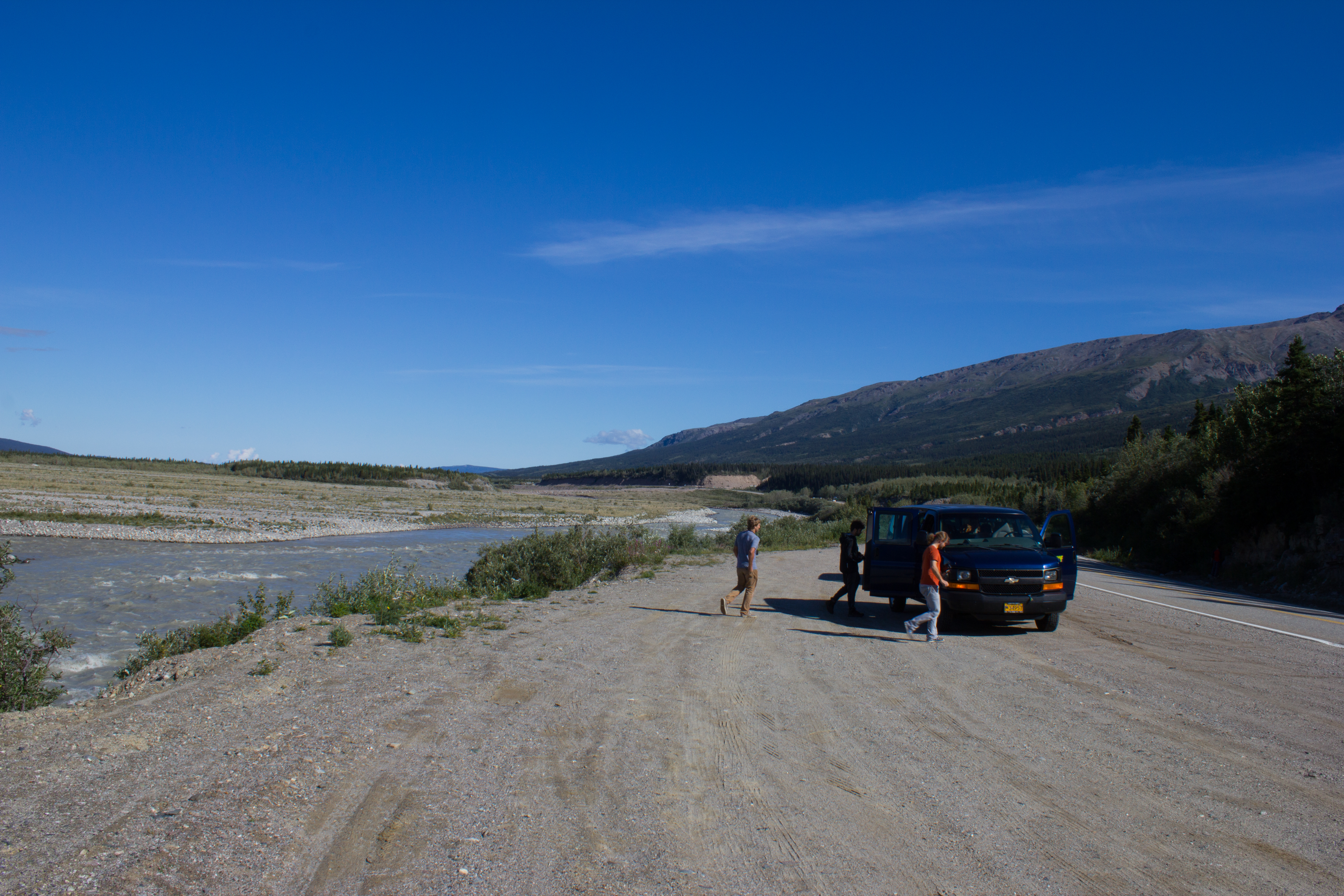
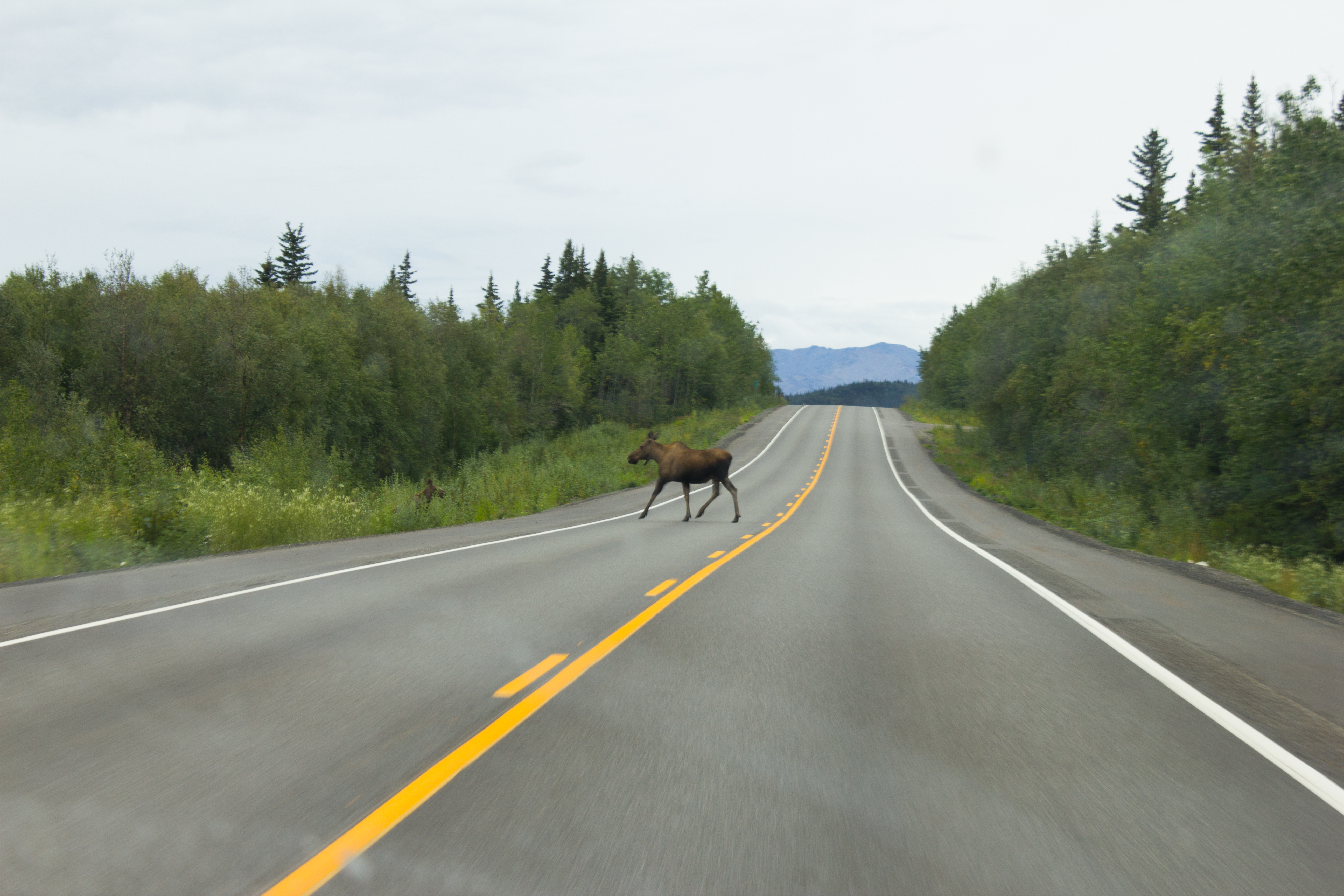
The drive to McCarthy took 11 hours, but it was broken up with regular stops.
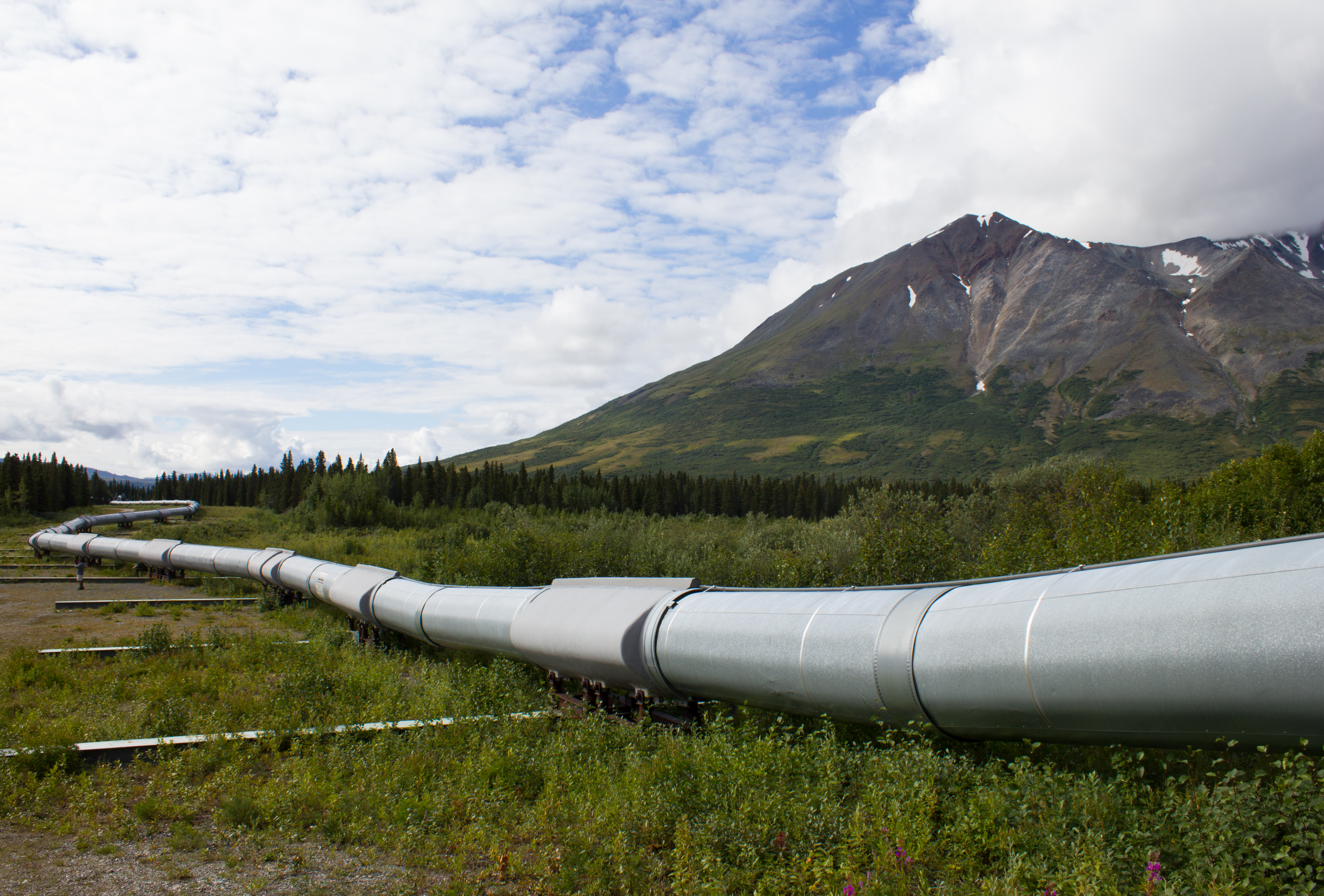
The Trans-Alaska pipeline crosses the entire state, north to south, from Prudhoe Bay to Valdez, stretching over 1,200km.
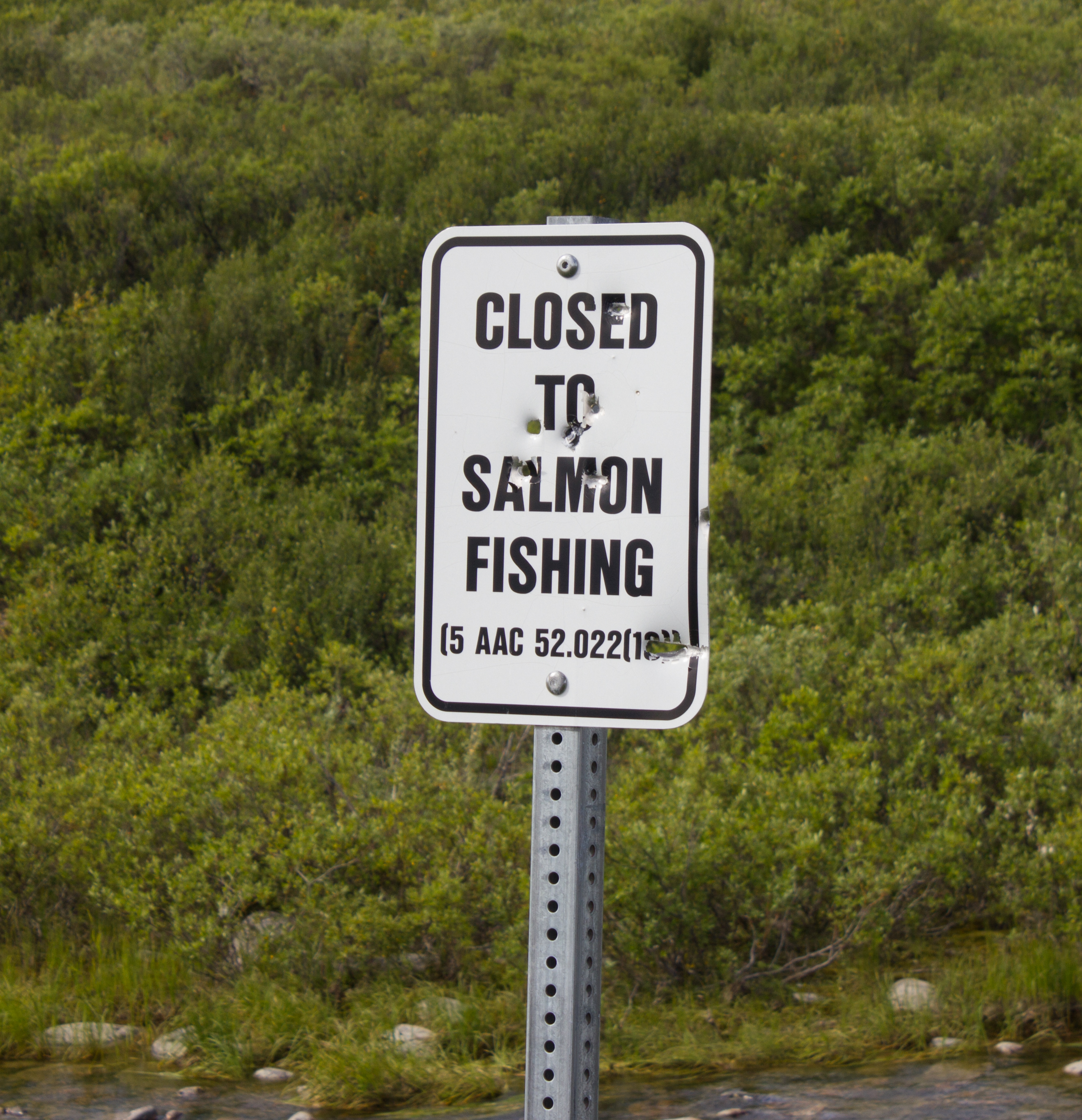
Not a popular decision. In reality, the salmon at this point have traveled so far inland from the sea (to reach spawning grounds) that they have lost much of their mass, and are not suitable for consumption.
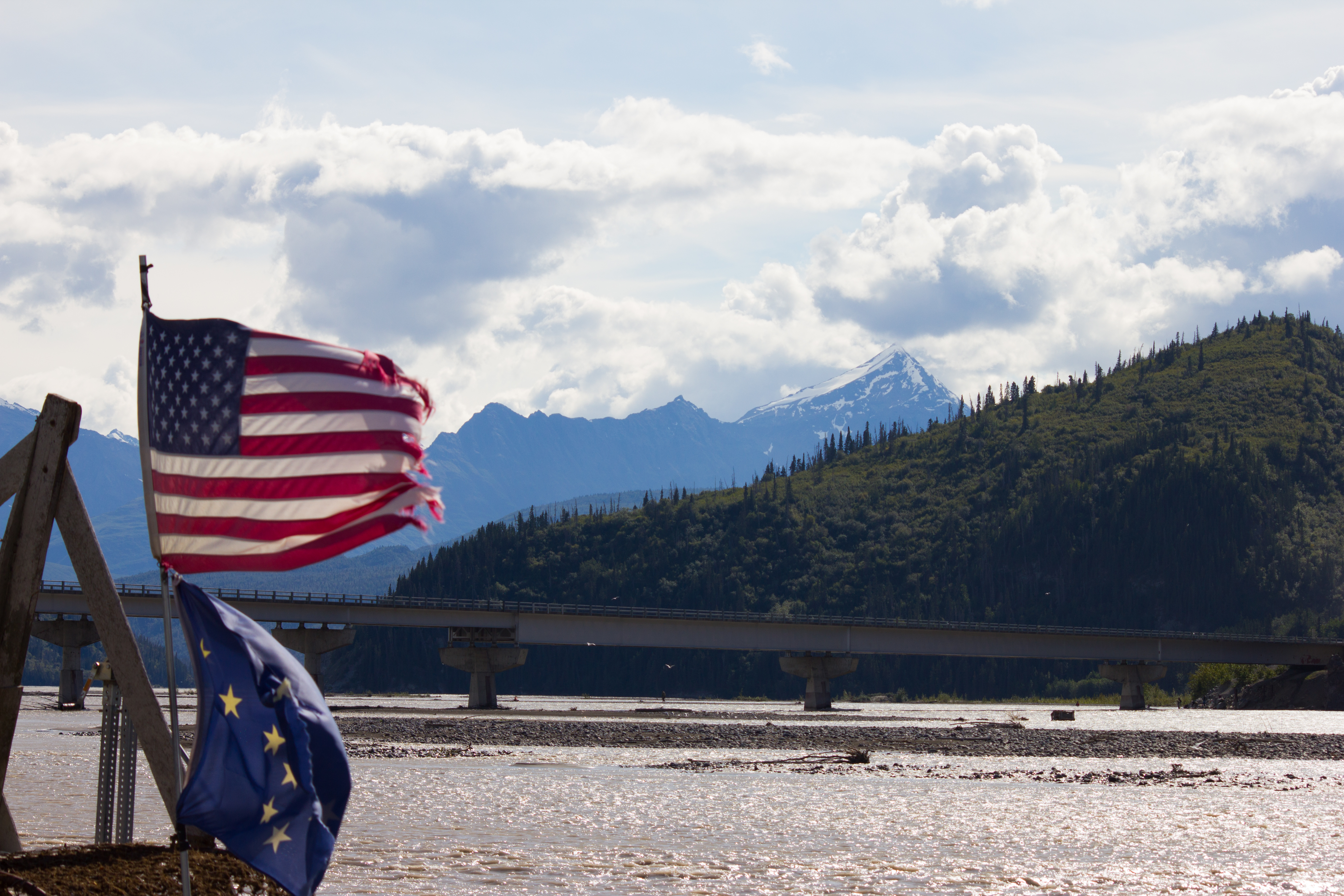
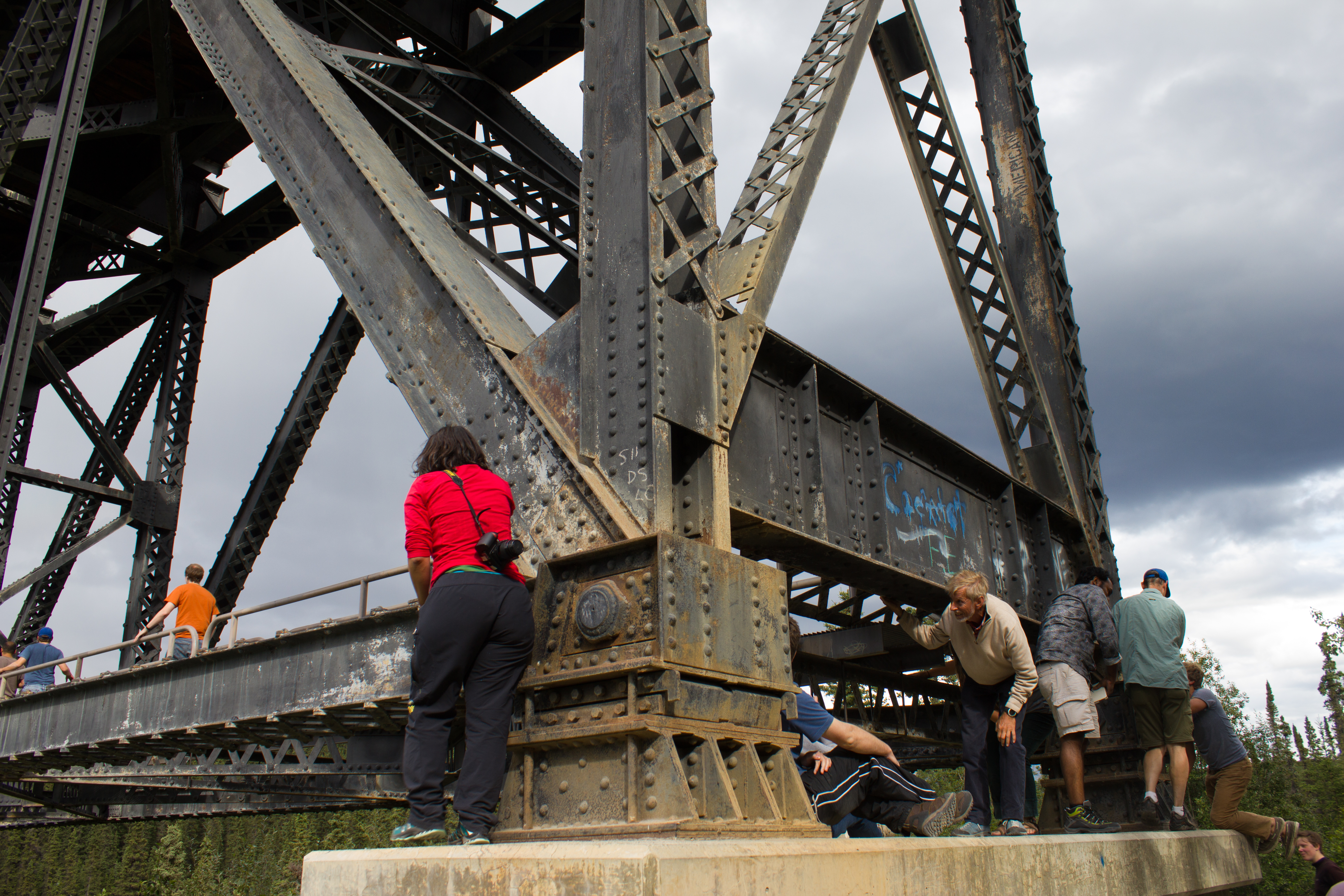
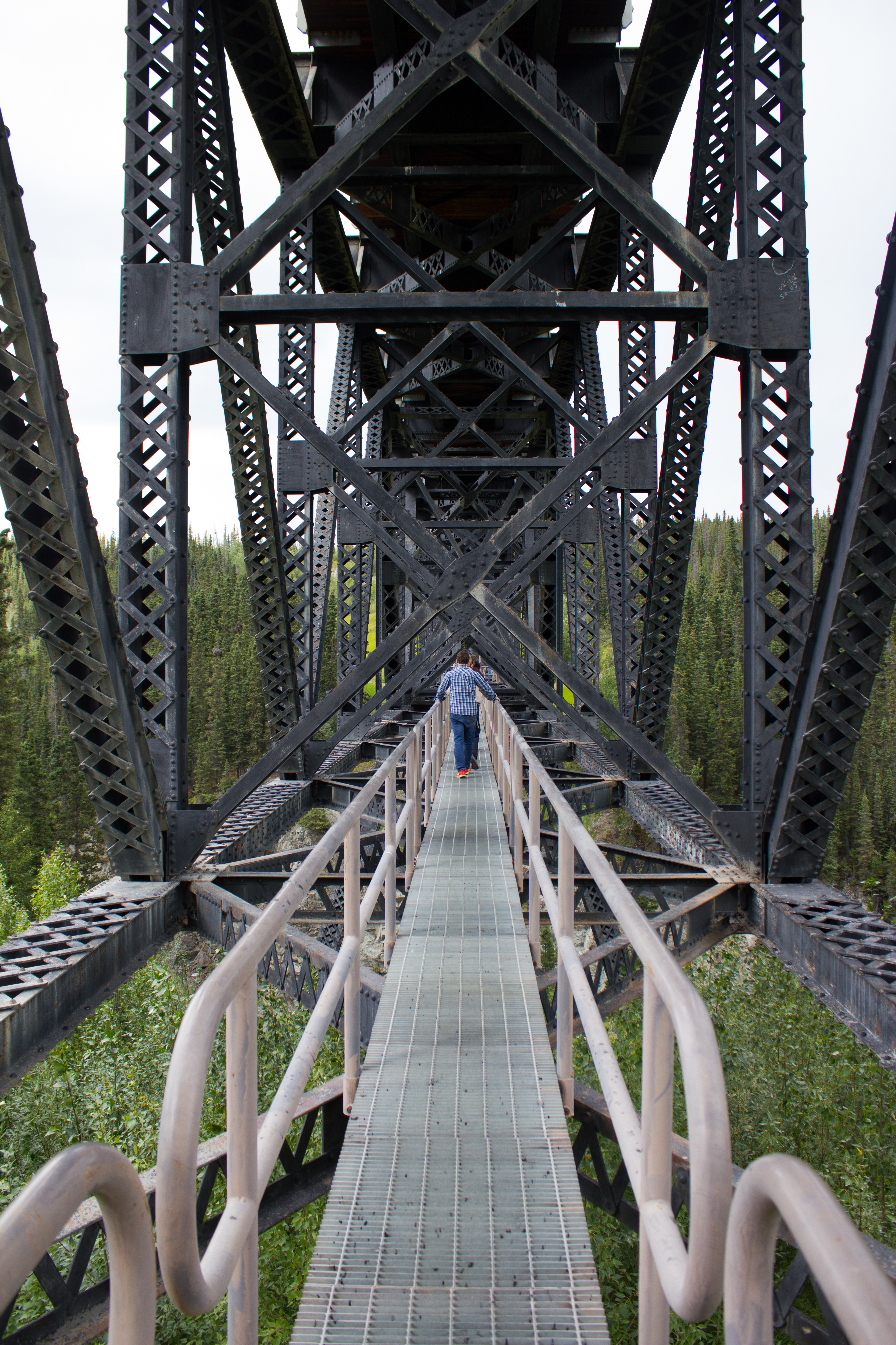
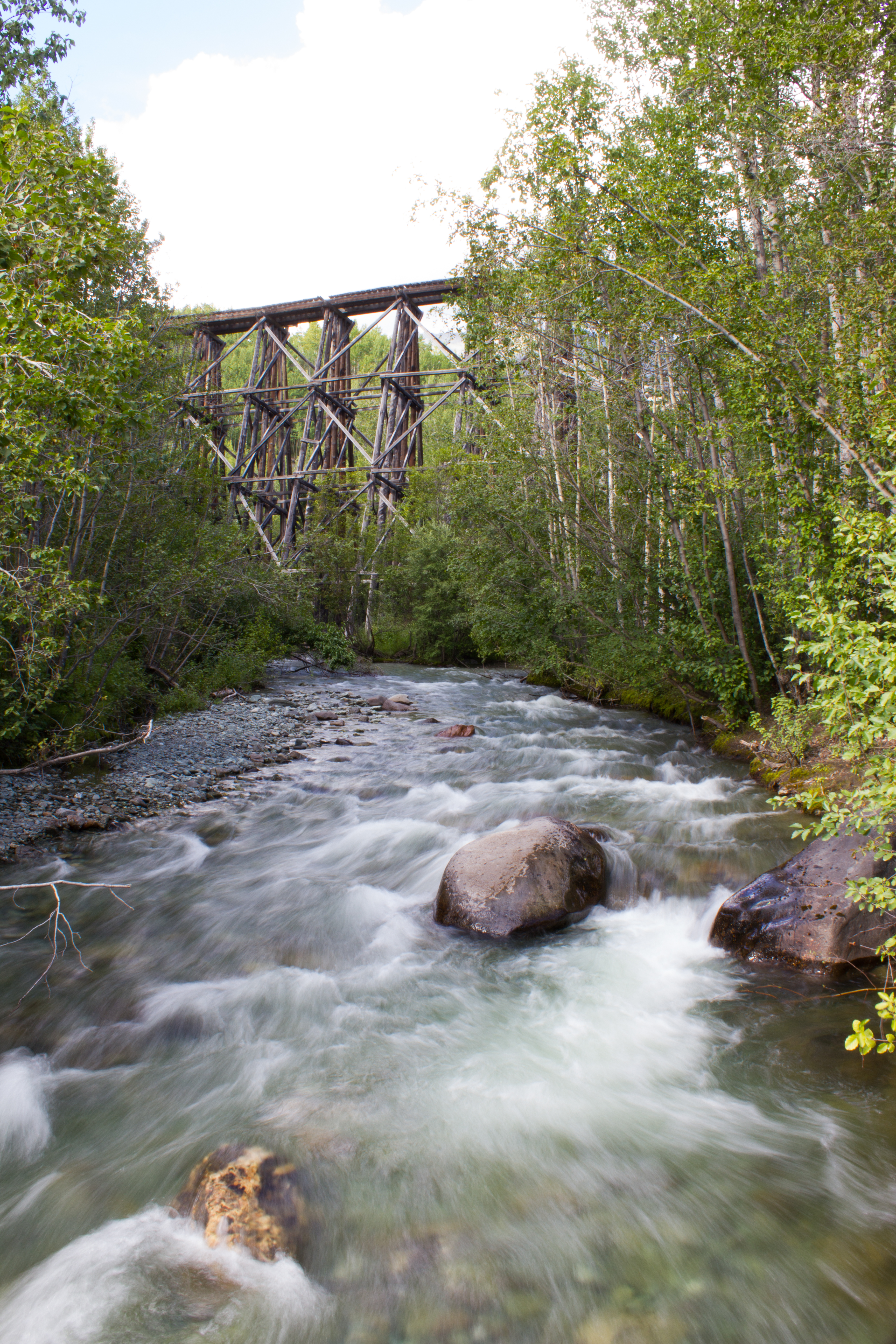
Hanging out under bridges.
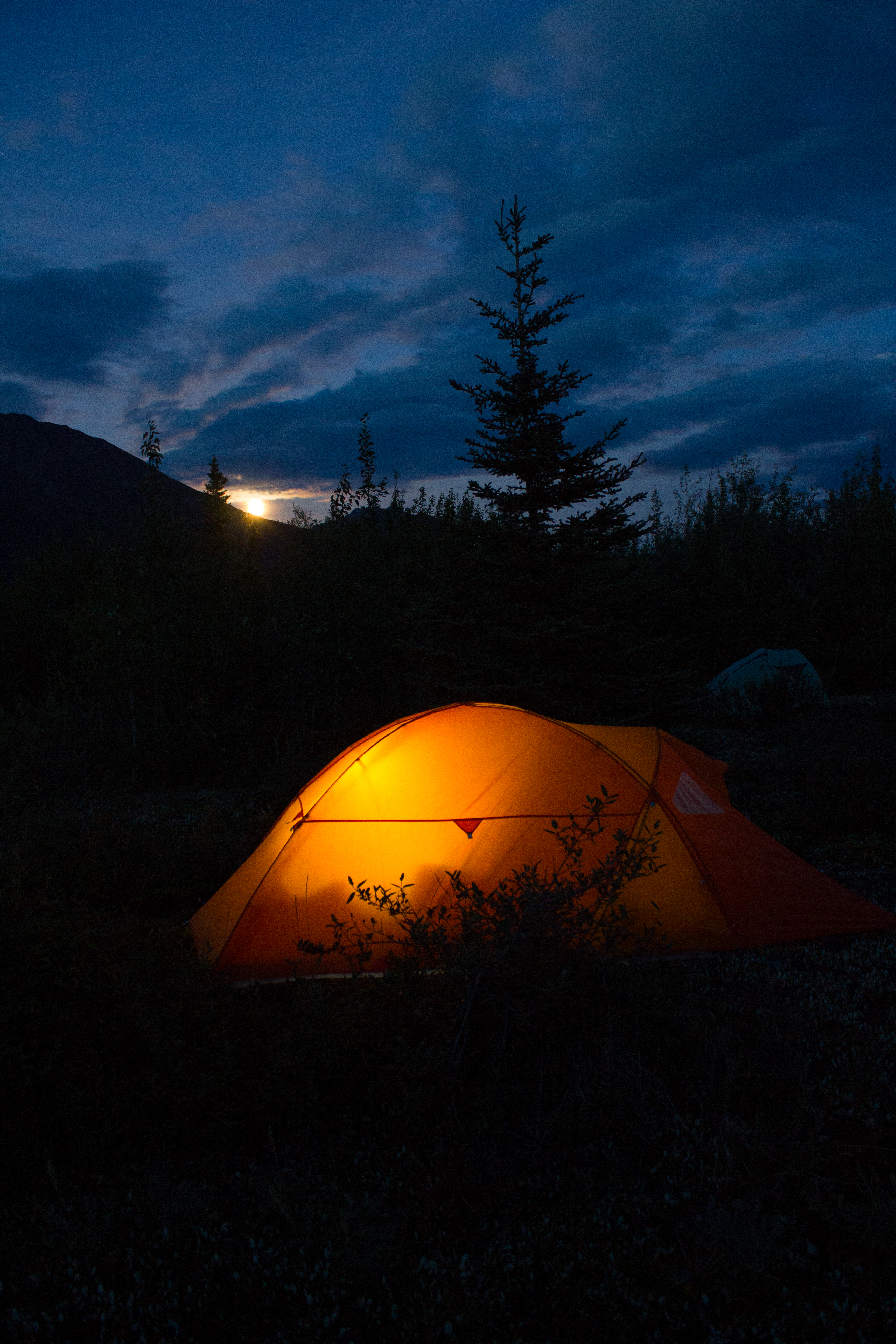
Home for the next 10 days
Moonrise
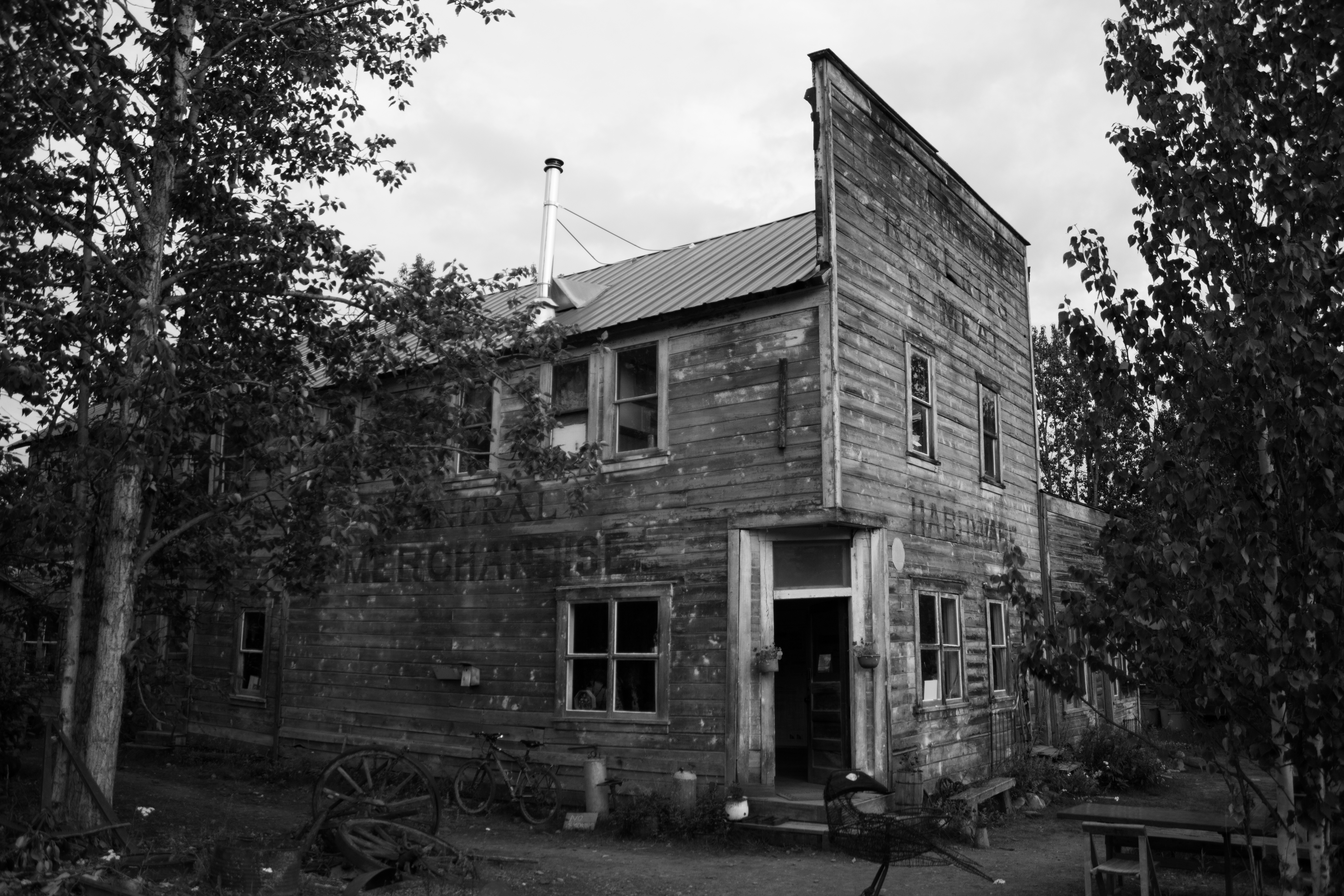
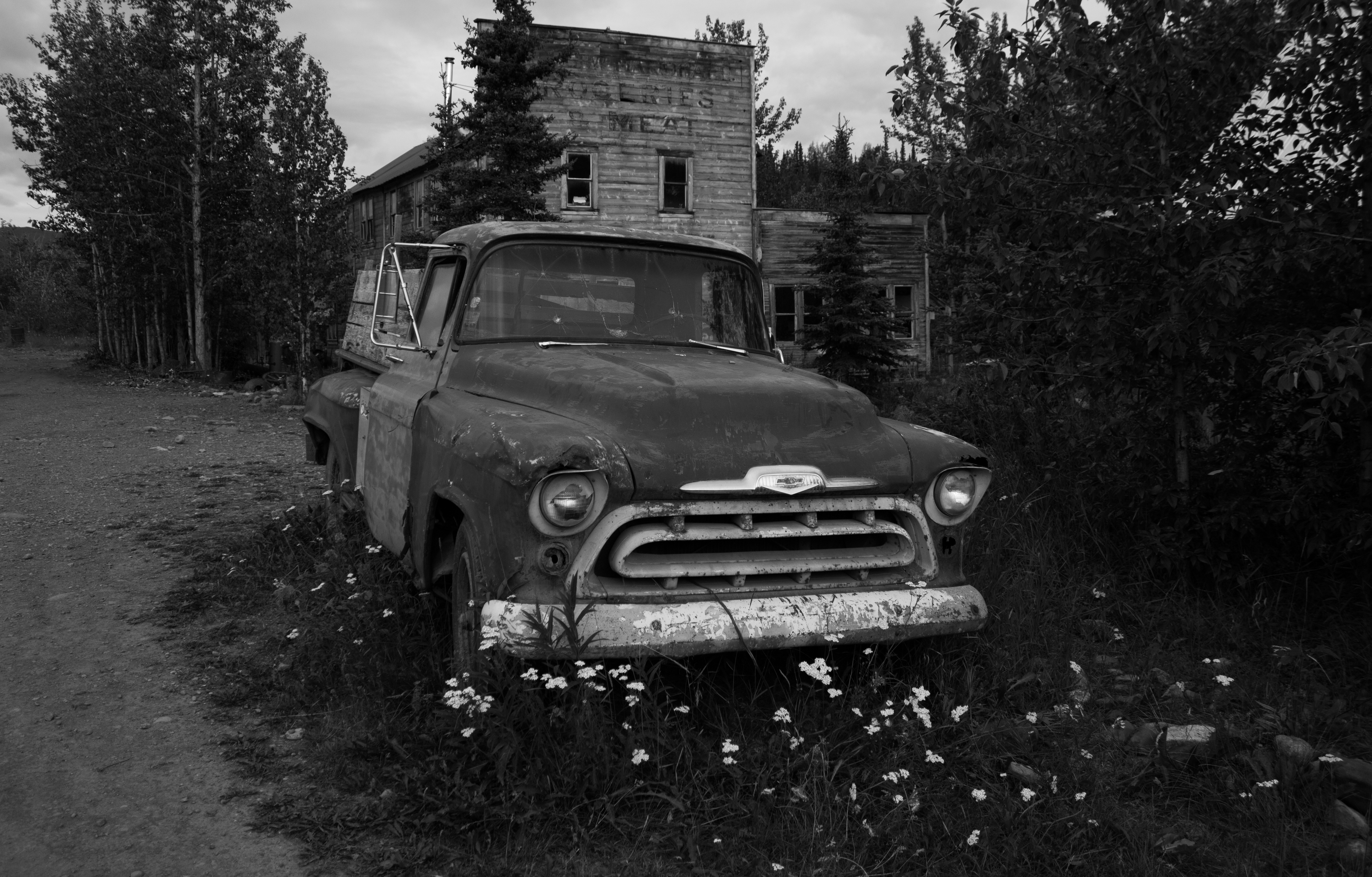
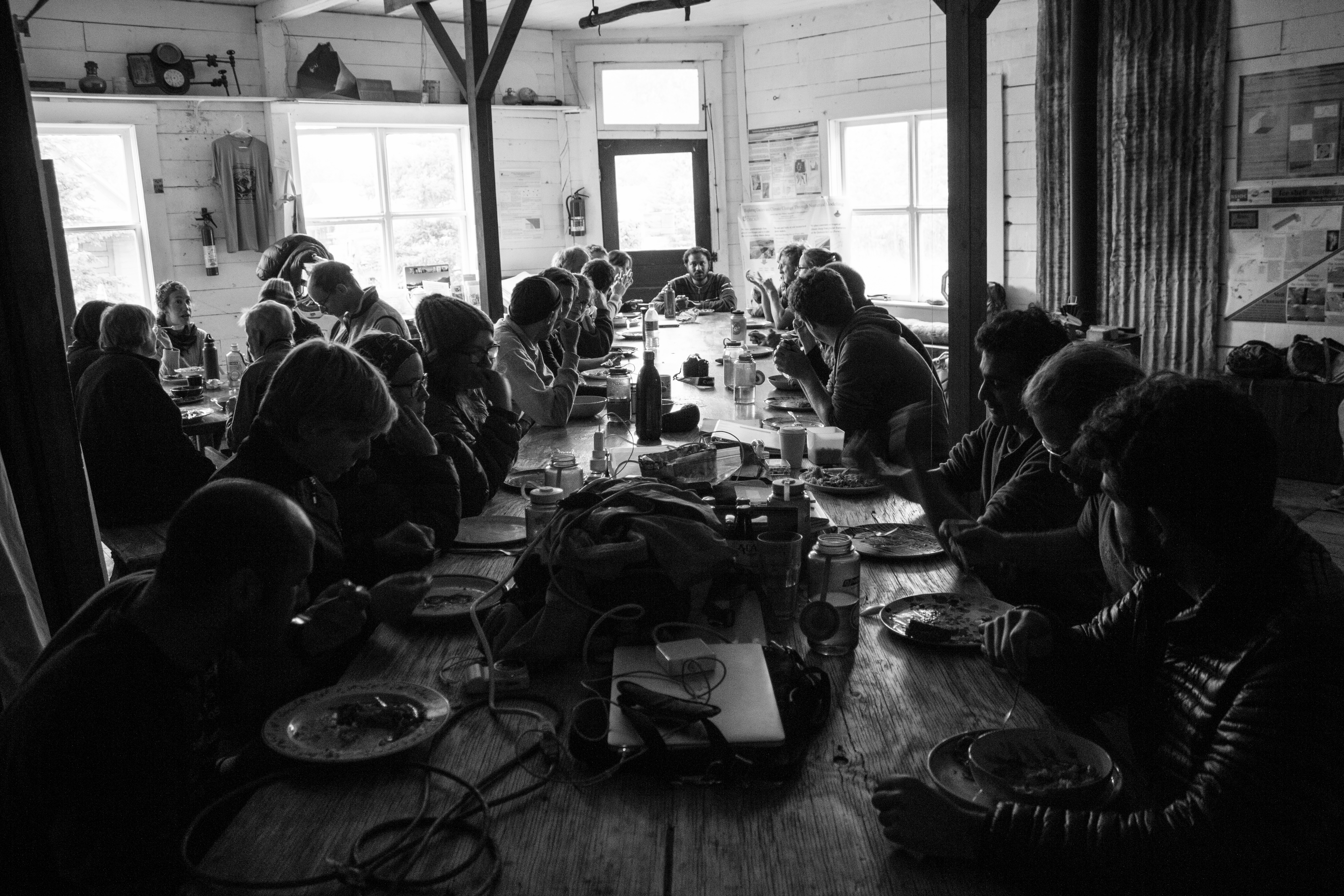
McCarthy’s old hardware store, now operated as the Wrangle Mountain Center, was our base for the summer school.
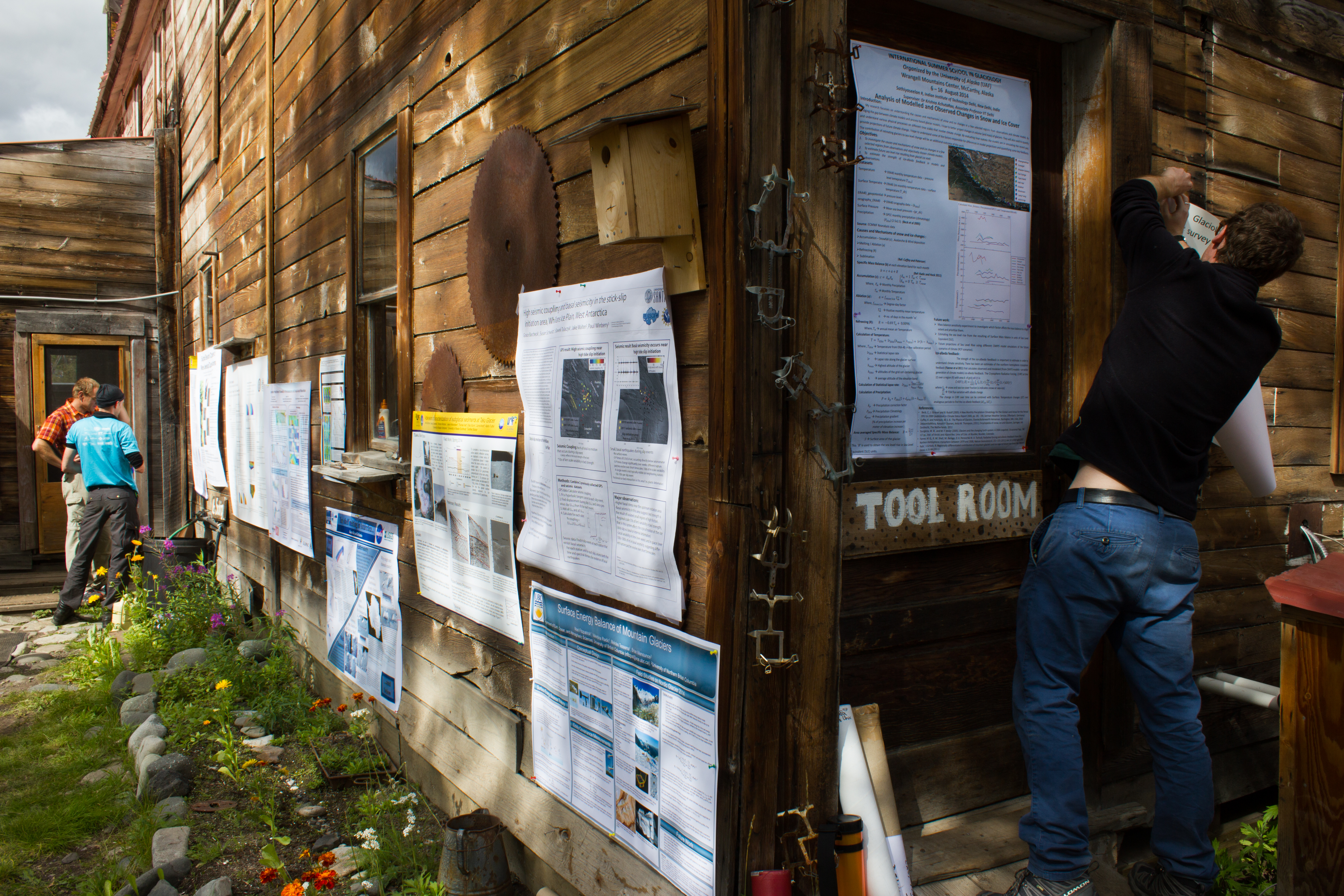
Tools of the trade. An unconventional poster session.
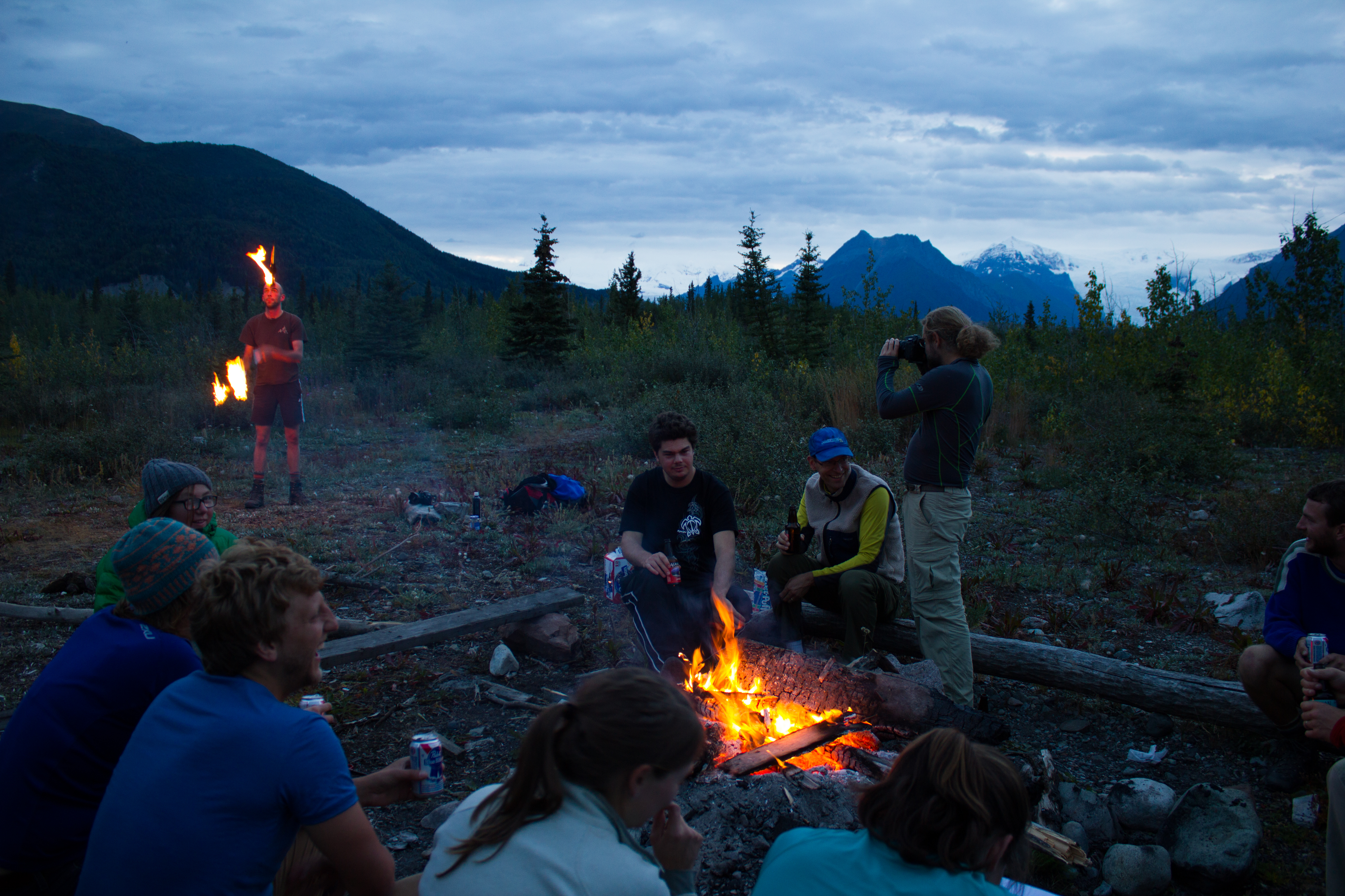
Friday night softball in McCarthy.
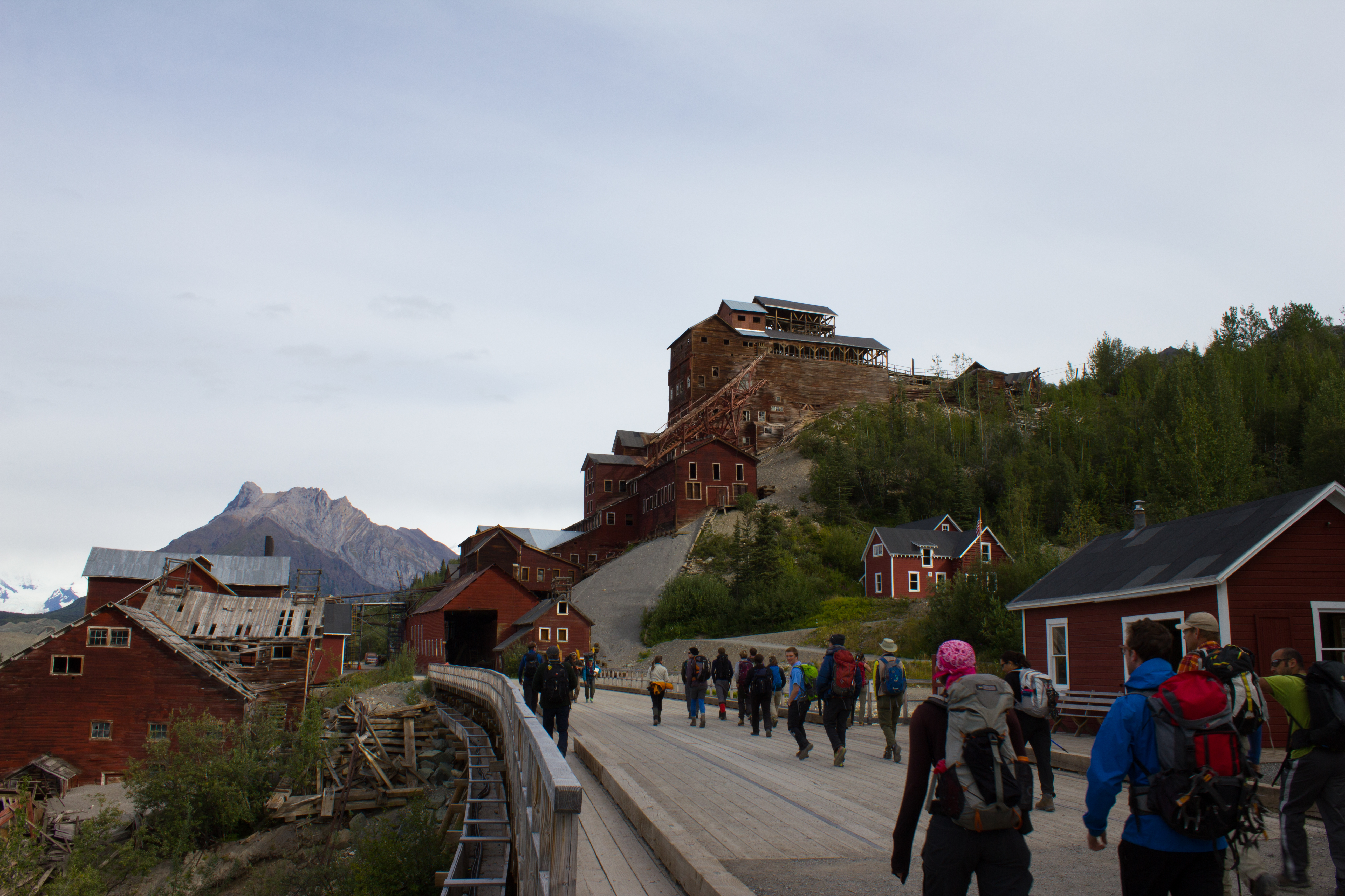
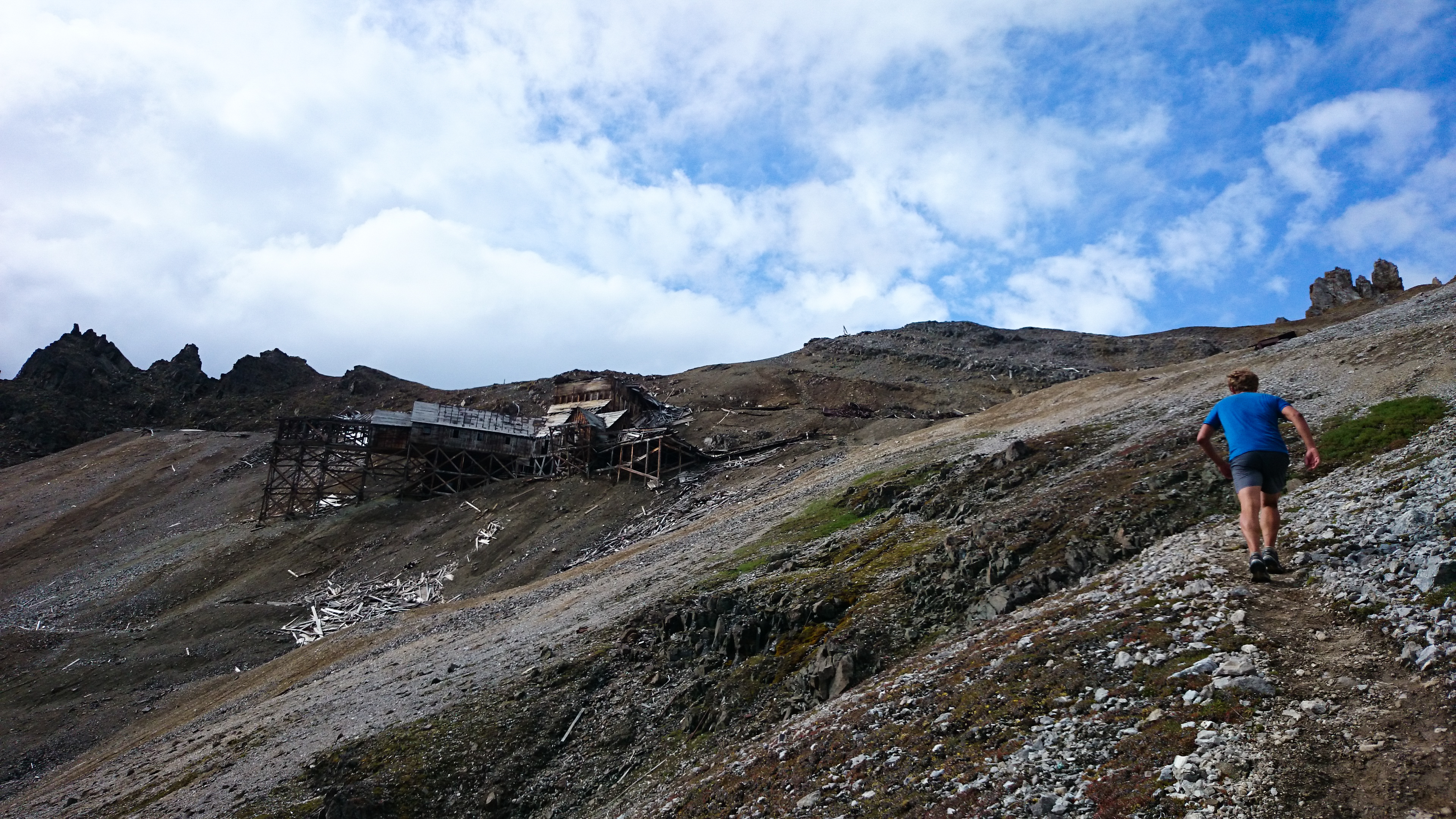
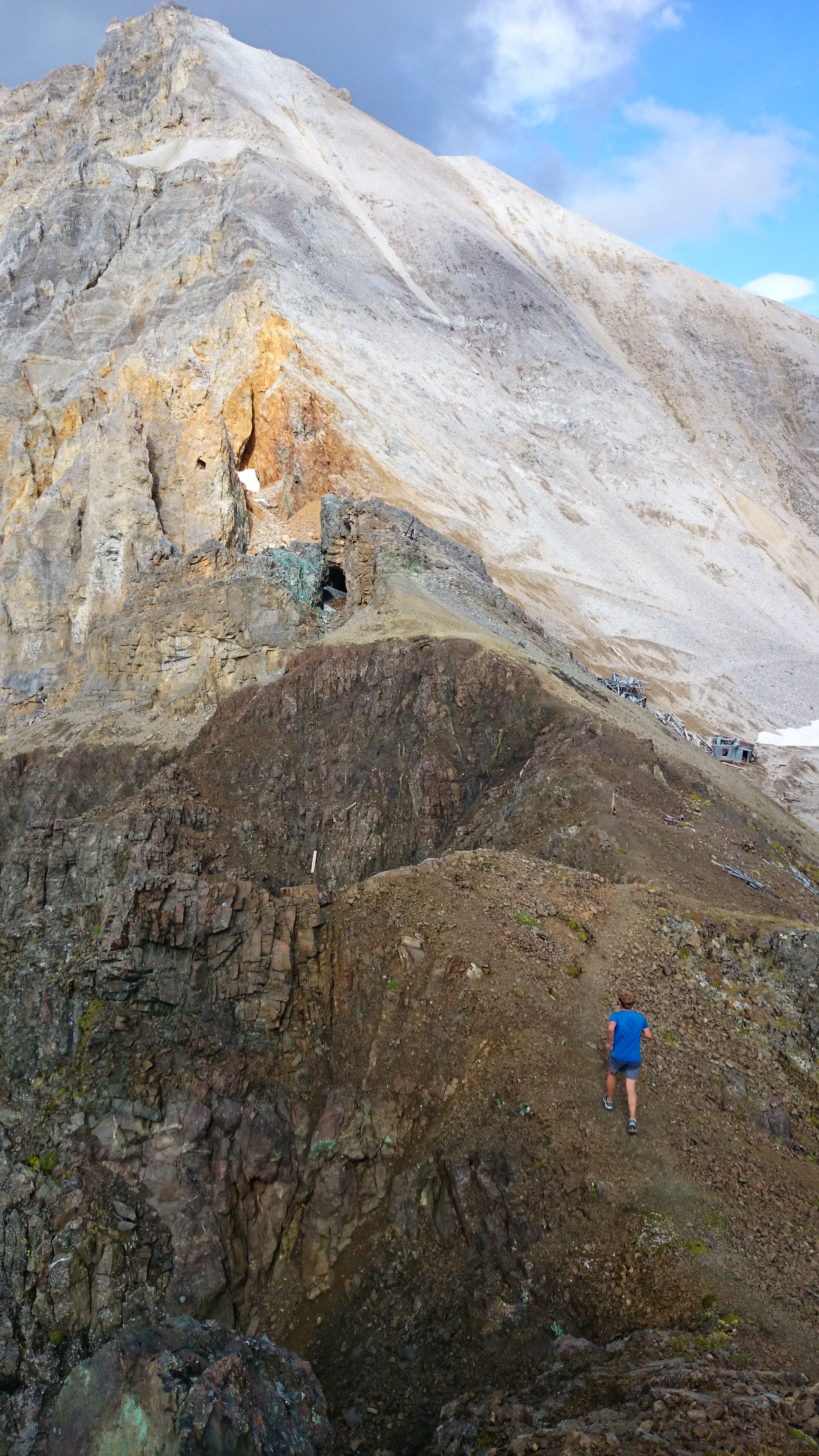
Passing Kennicott mill, where ore from the surrounding copper mines was processed in the early 1900s.
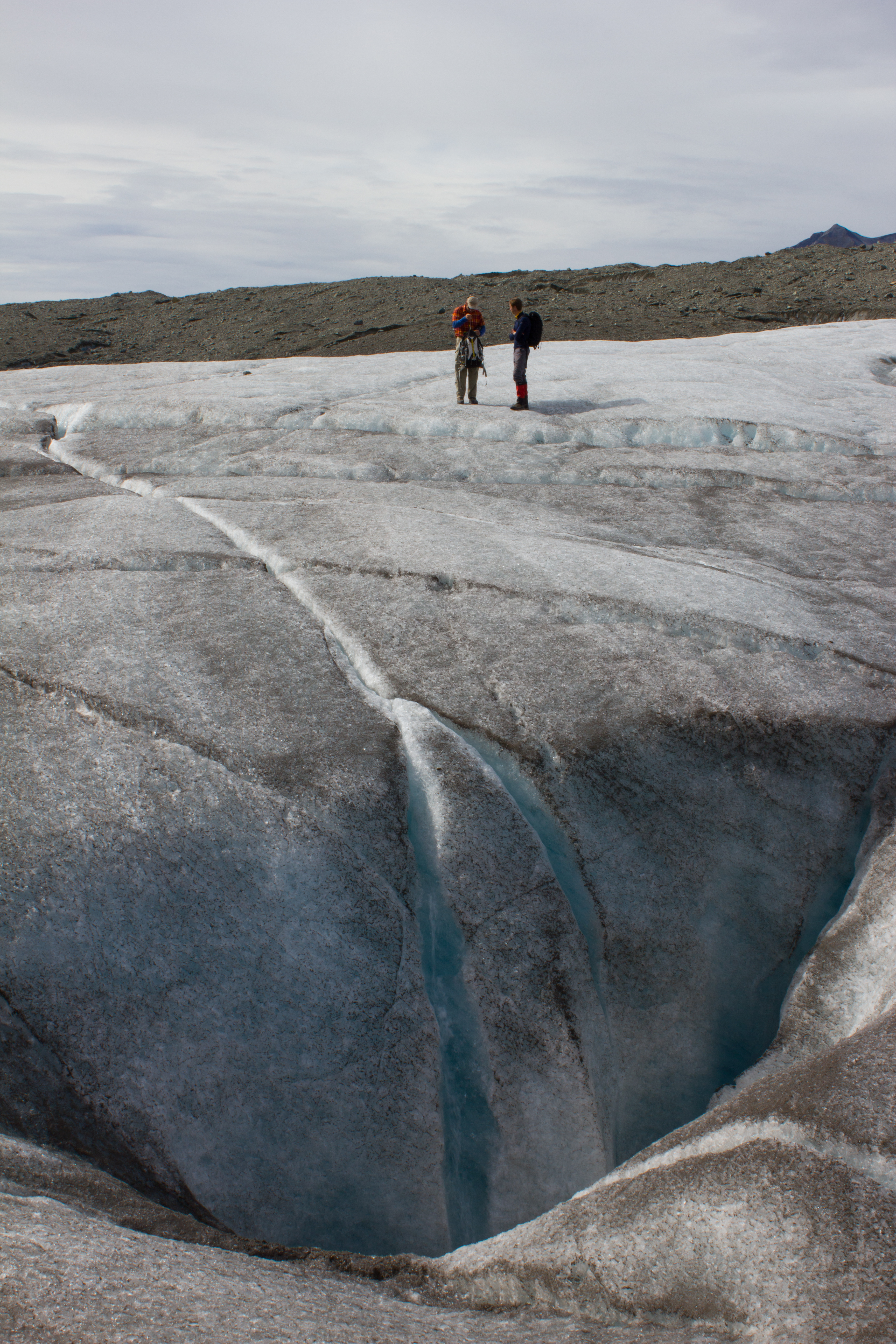
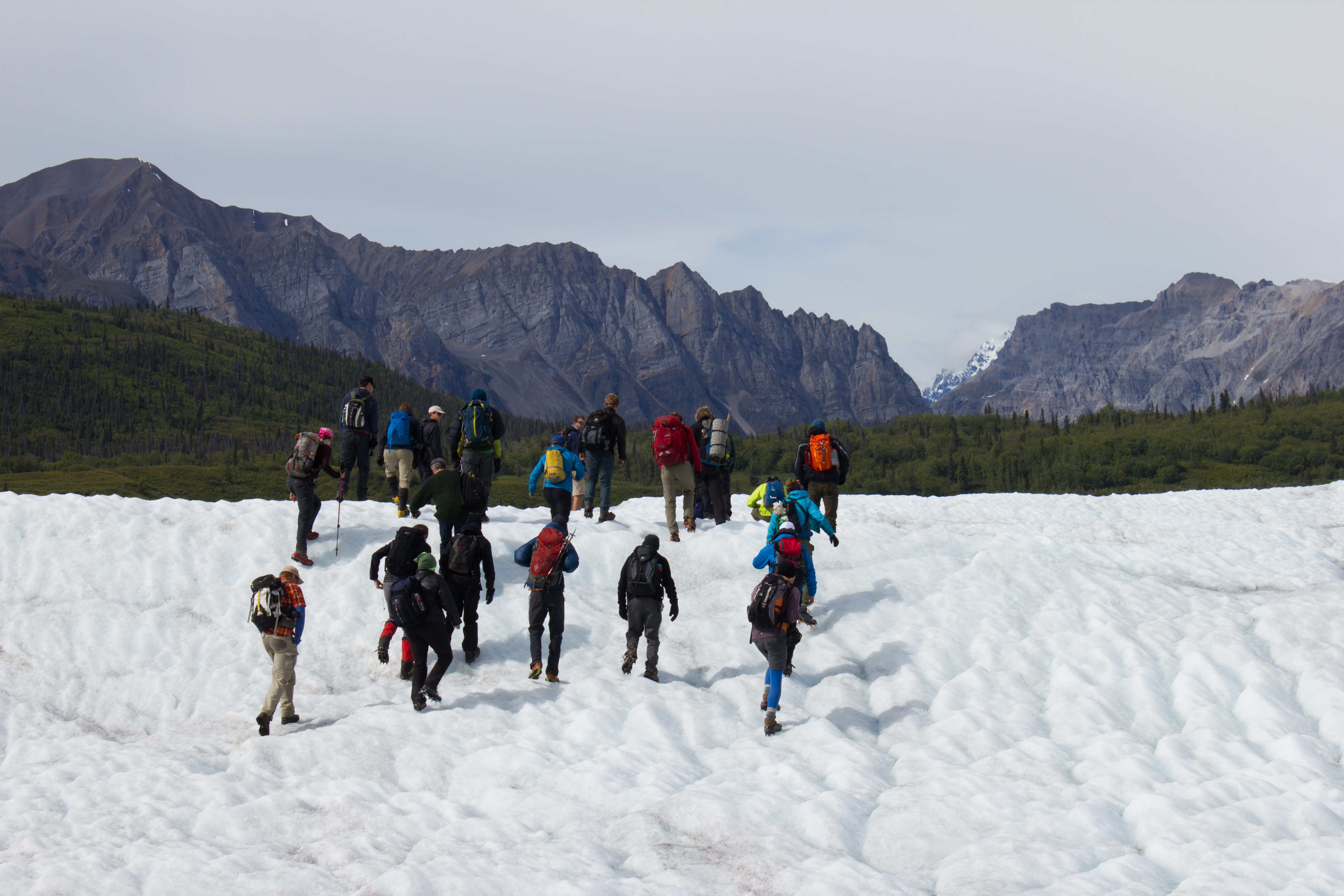
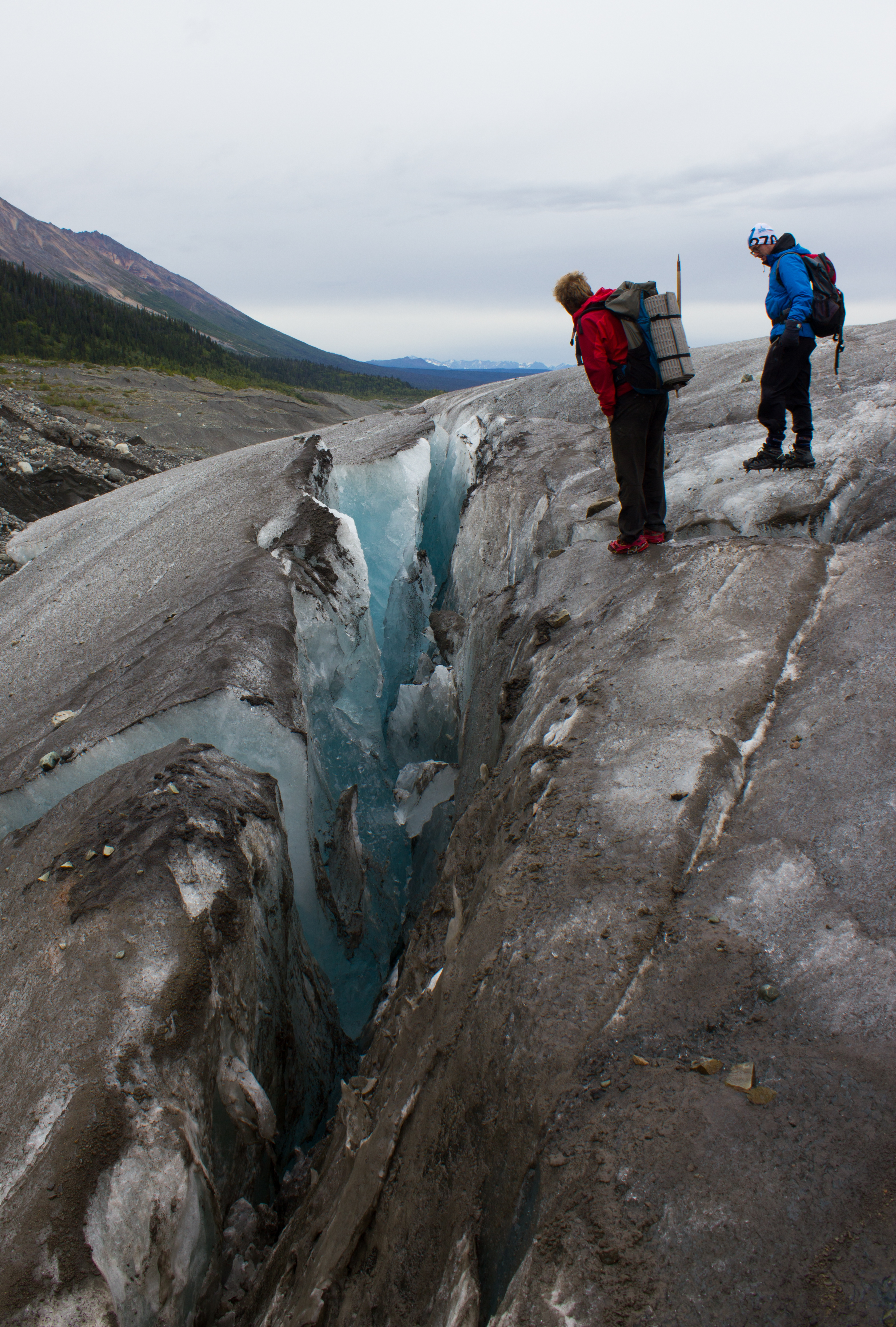
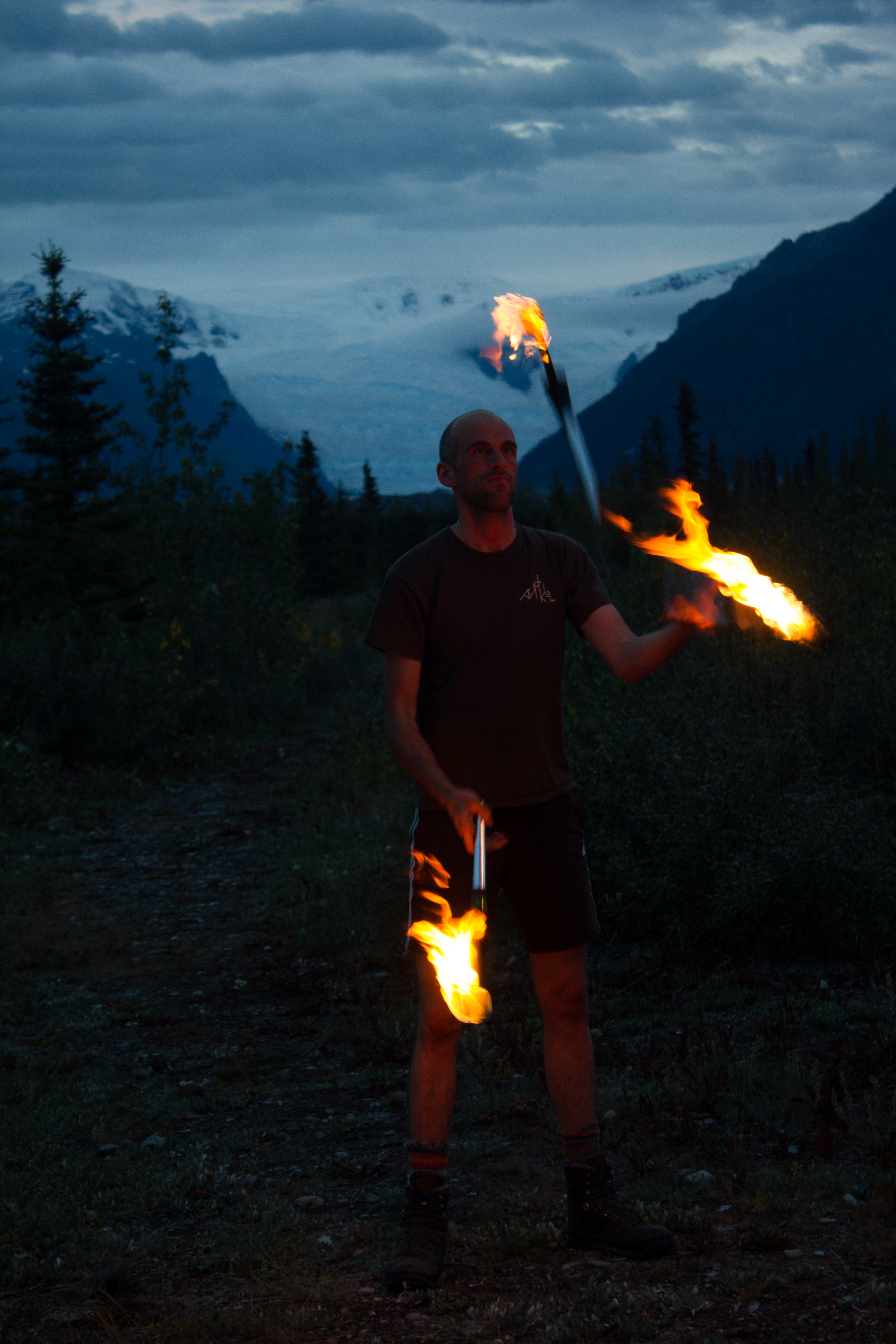
Mike in action. The expanse of what looks like gravel in the background is actually the lower reaches of the Kennicott glacier; the ridges are composed predominately of ice, coated with a thin layer of debris. The material comes from the lateral moraines of numerous tributary glaciers that have merged with the main trunk of the Kennicott, higher up the valley.
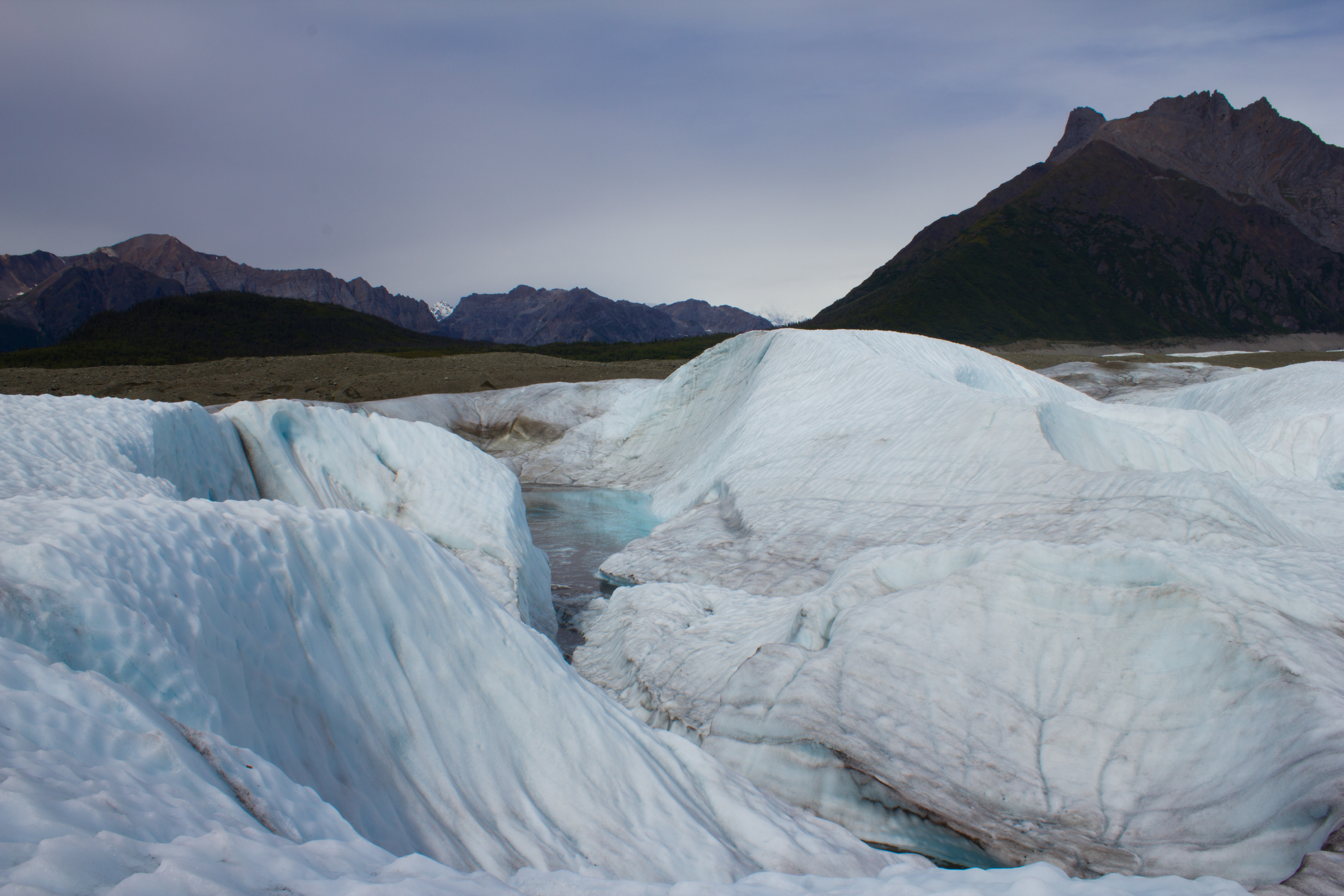
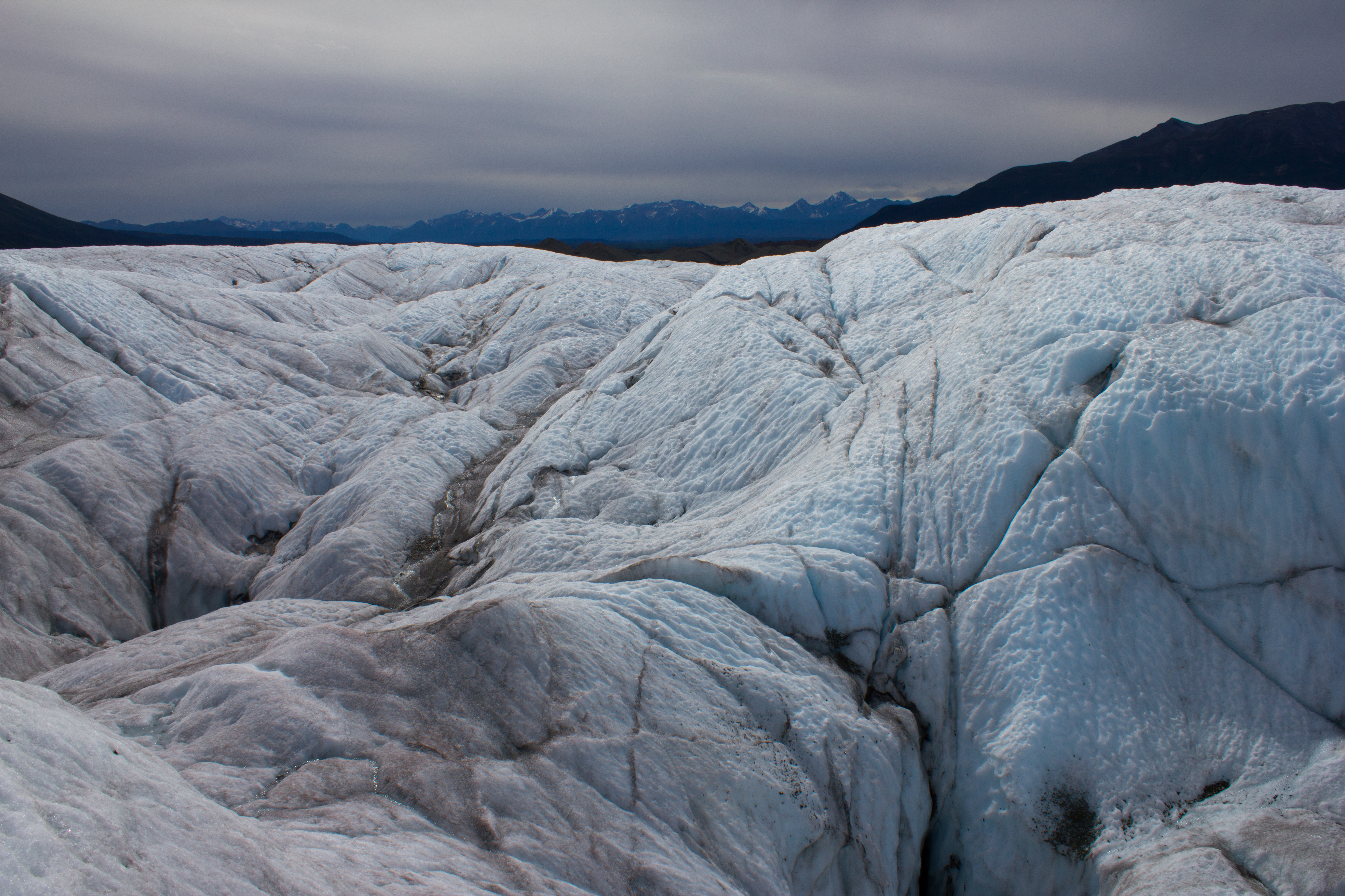
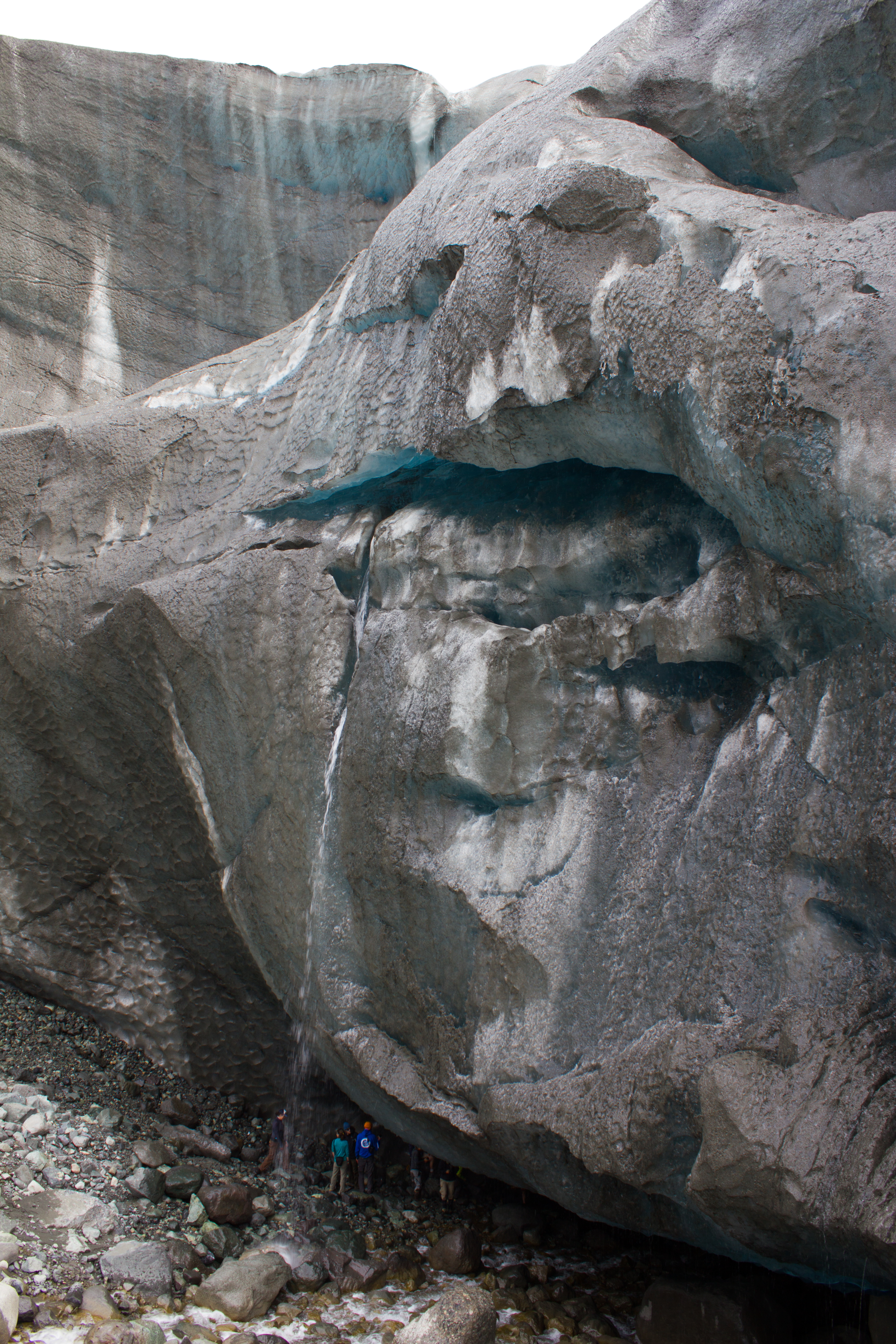
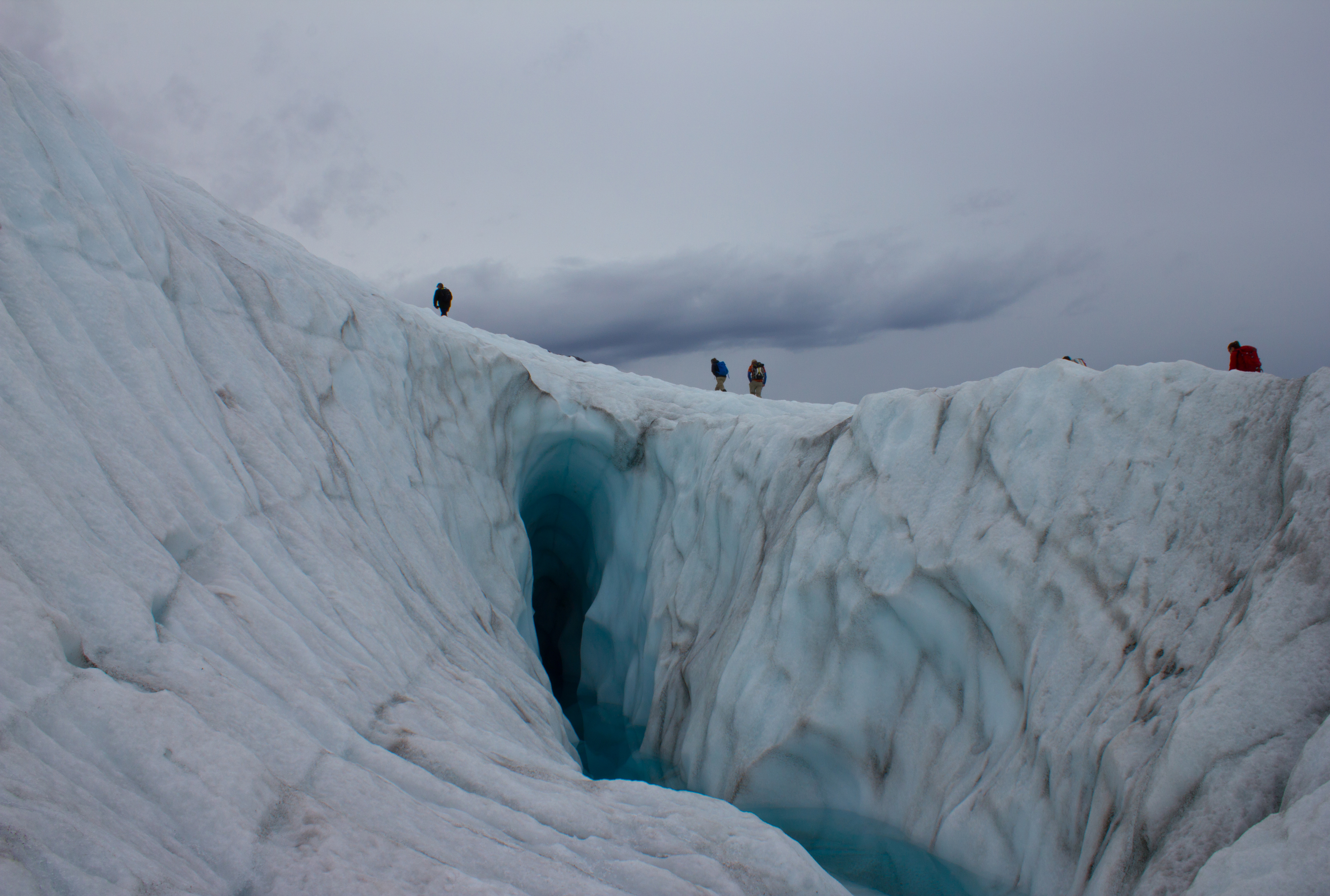
Footprint of a moulin. Debris carried downwards by water is deposited at the bottom of the moulin. When the overlying snow and ice melts (and the moulin collapses), the ice covered by this material melts slower than the surrounding exposed ice, resulting in these ridges.
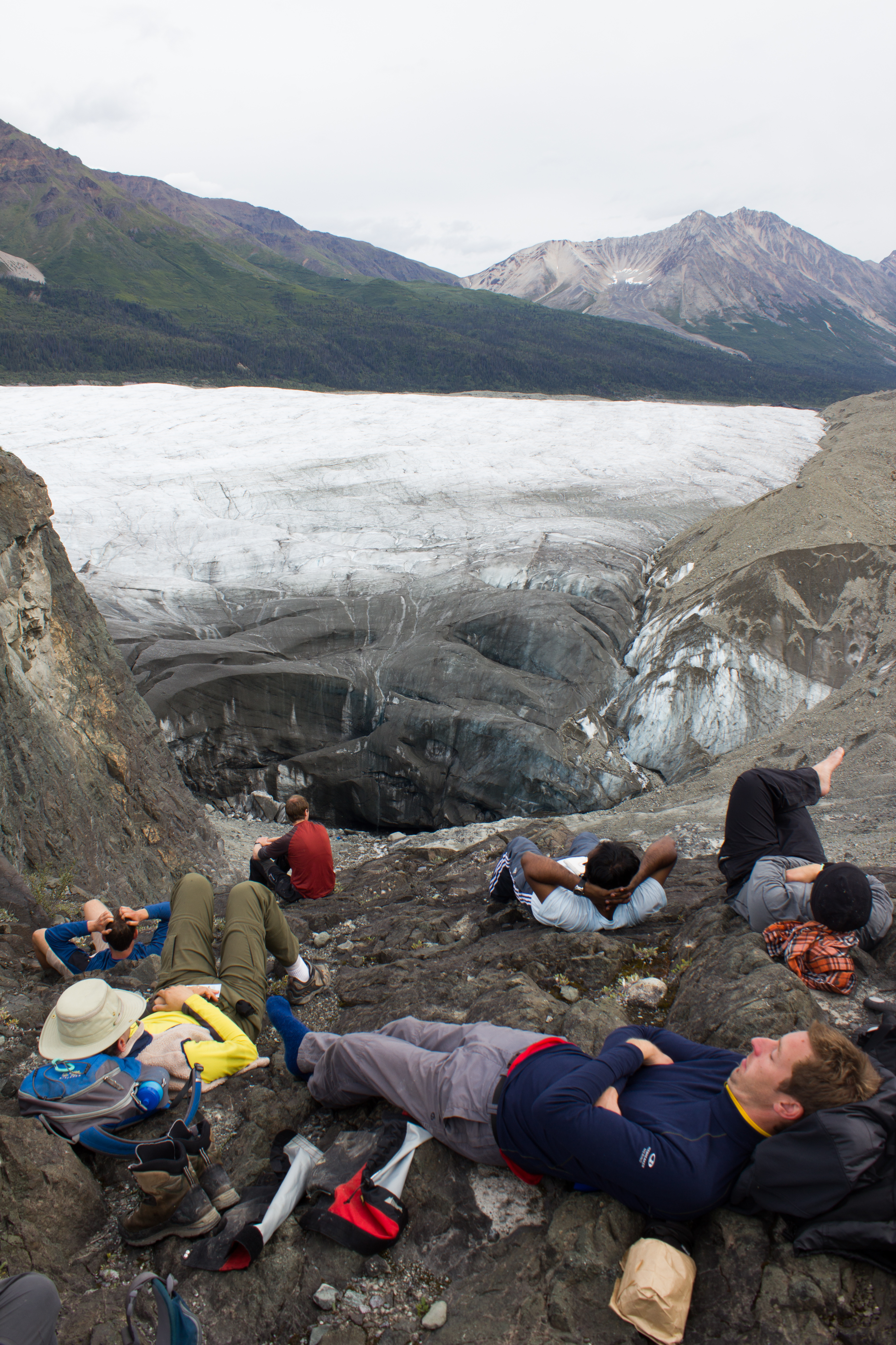
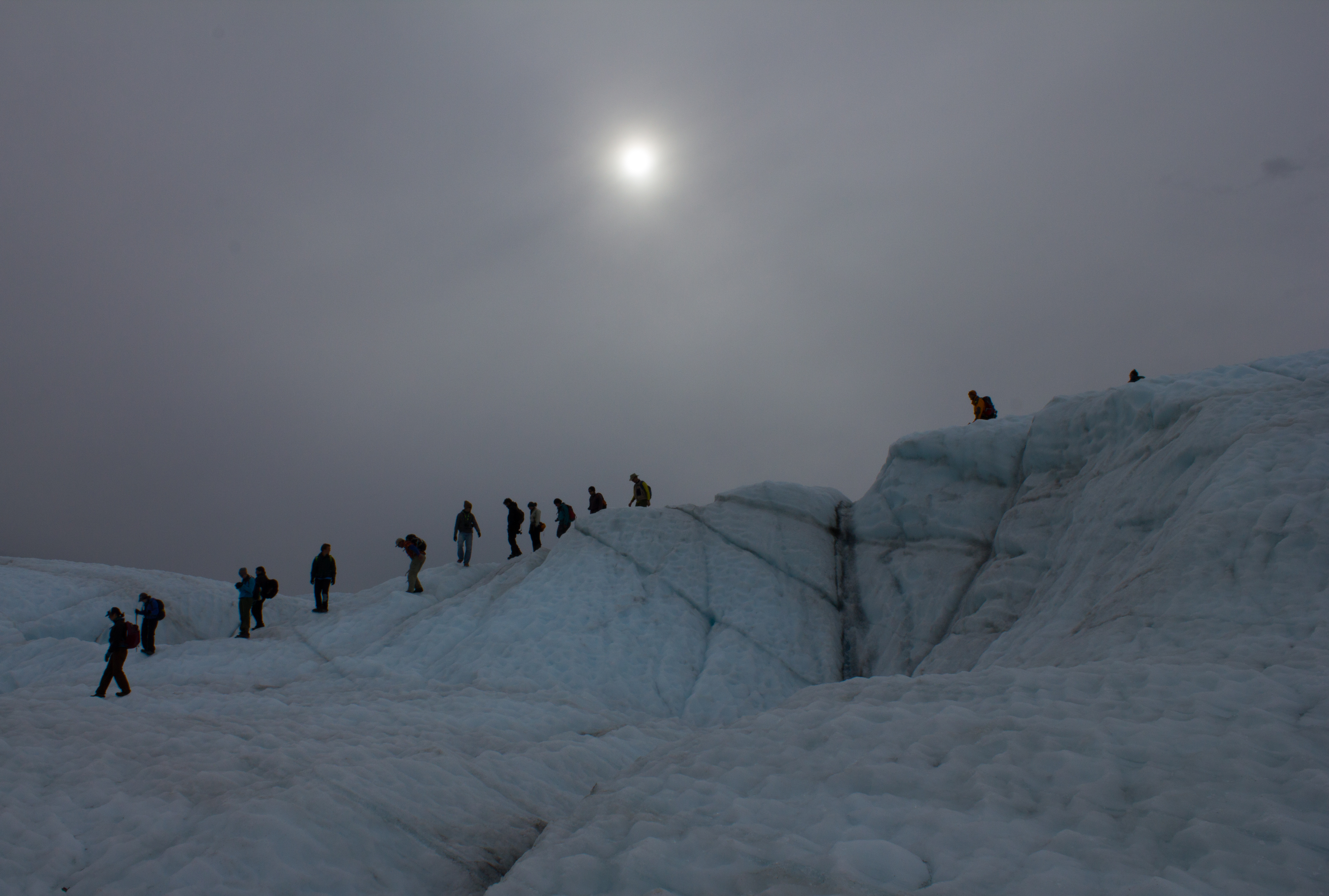
Glaciologists in their natural environment.
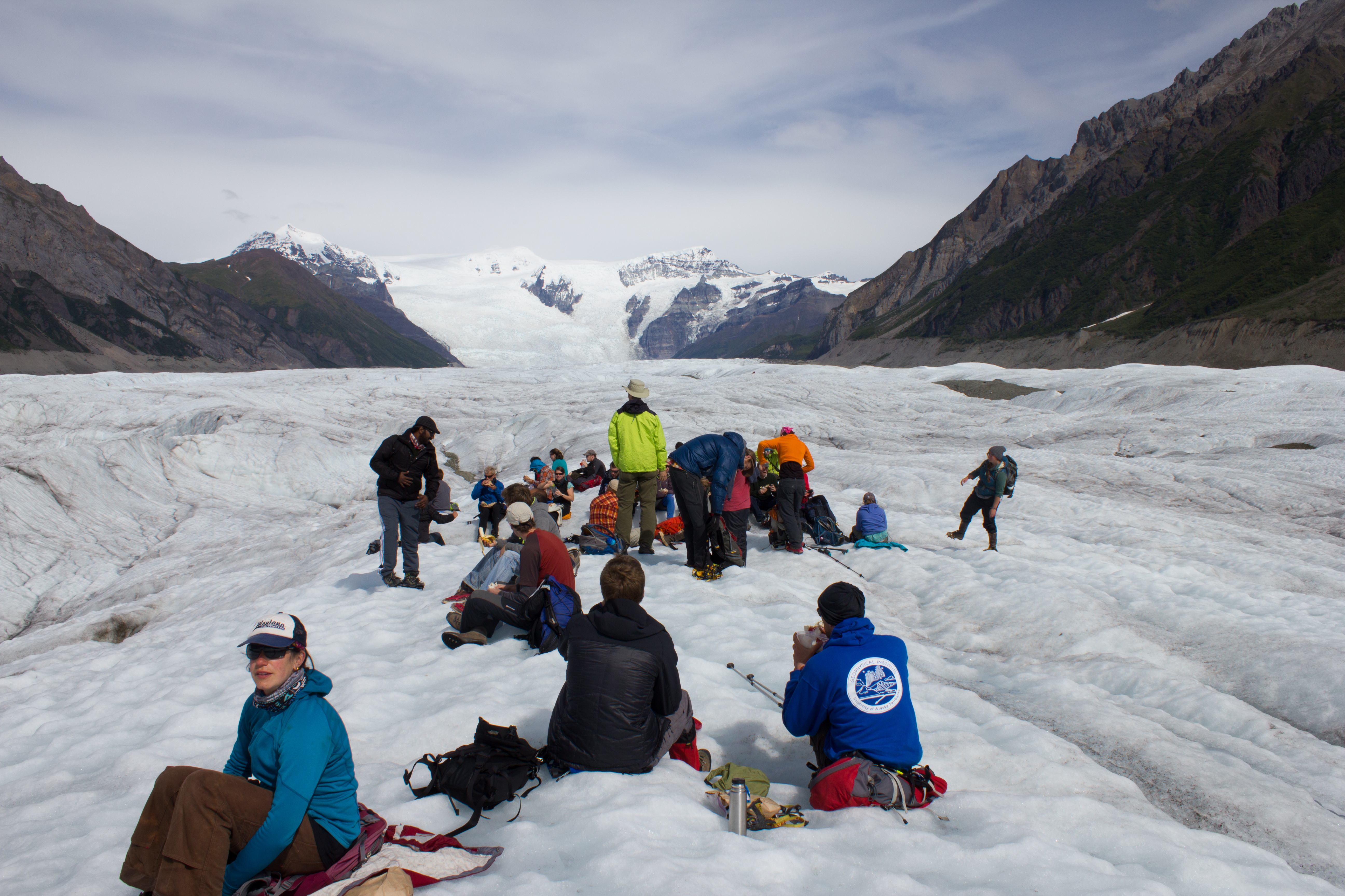
Lunch time
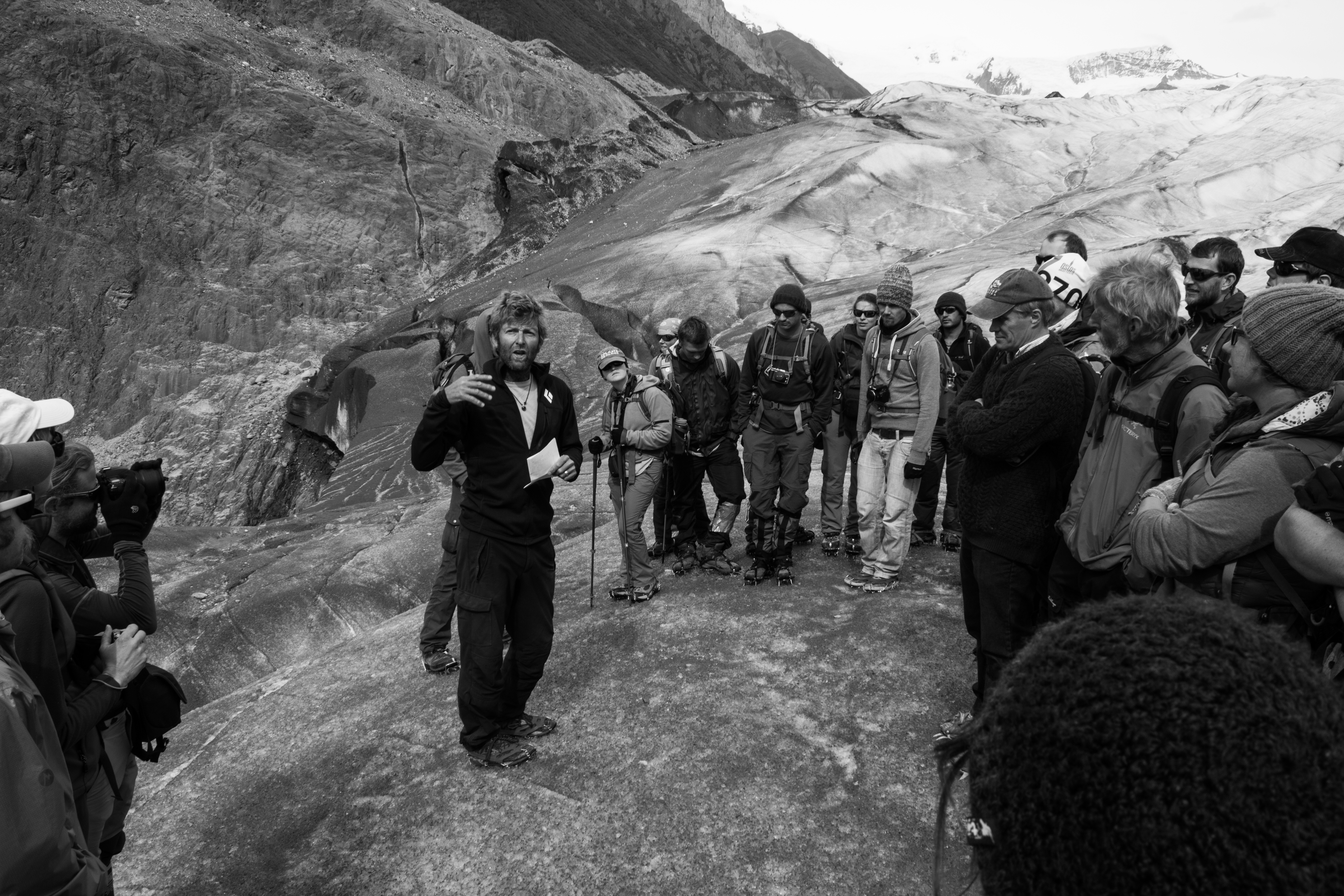
Holding court
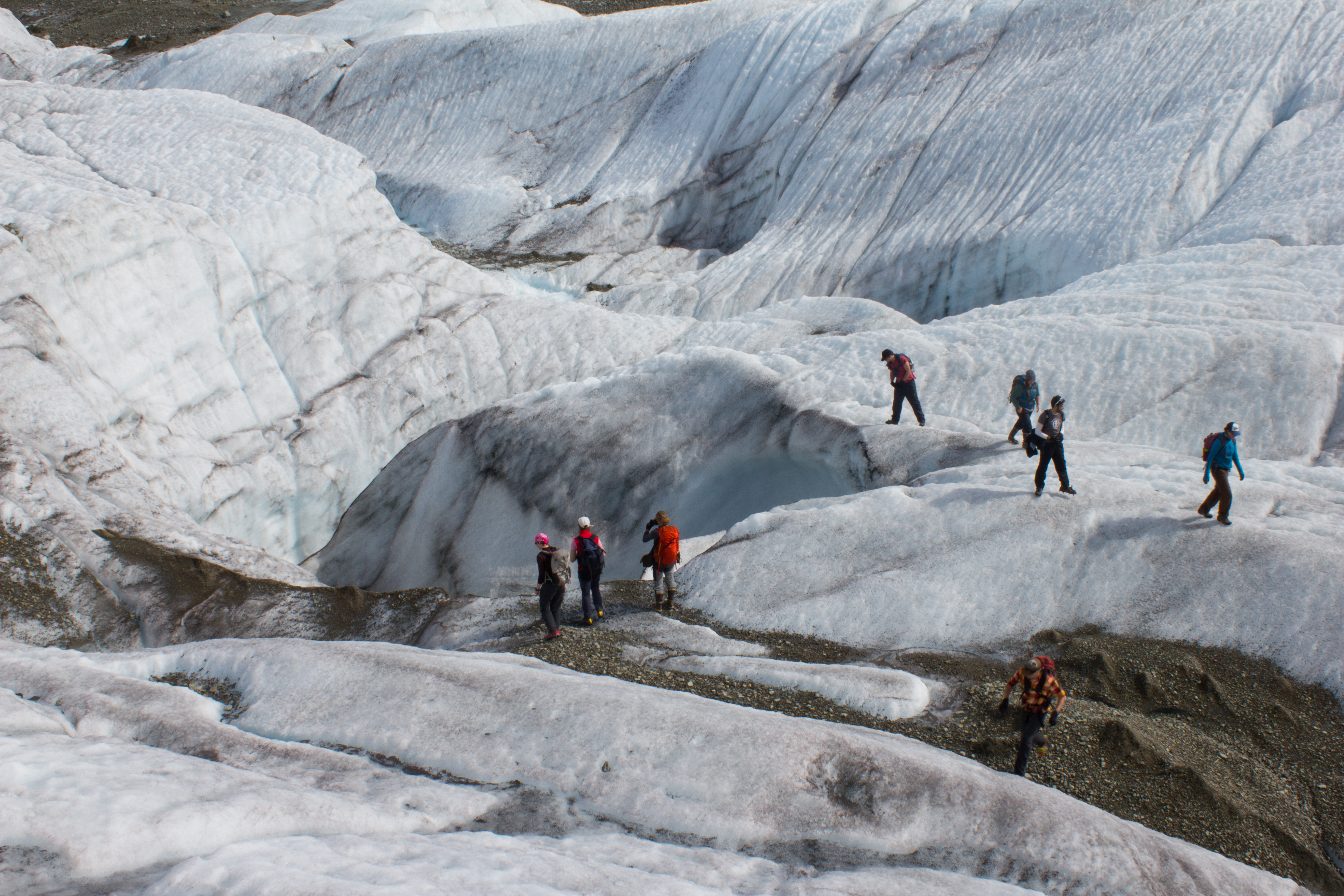
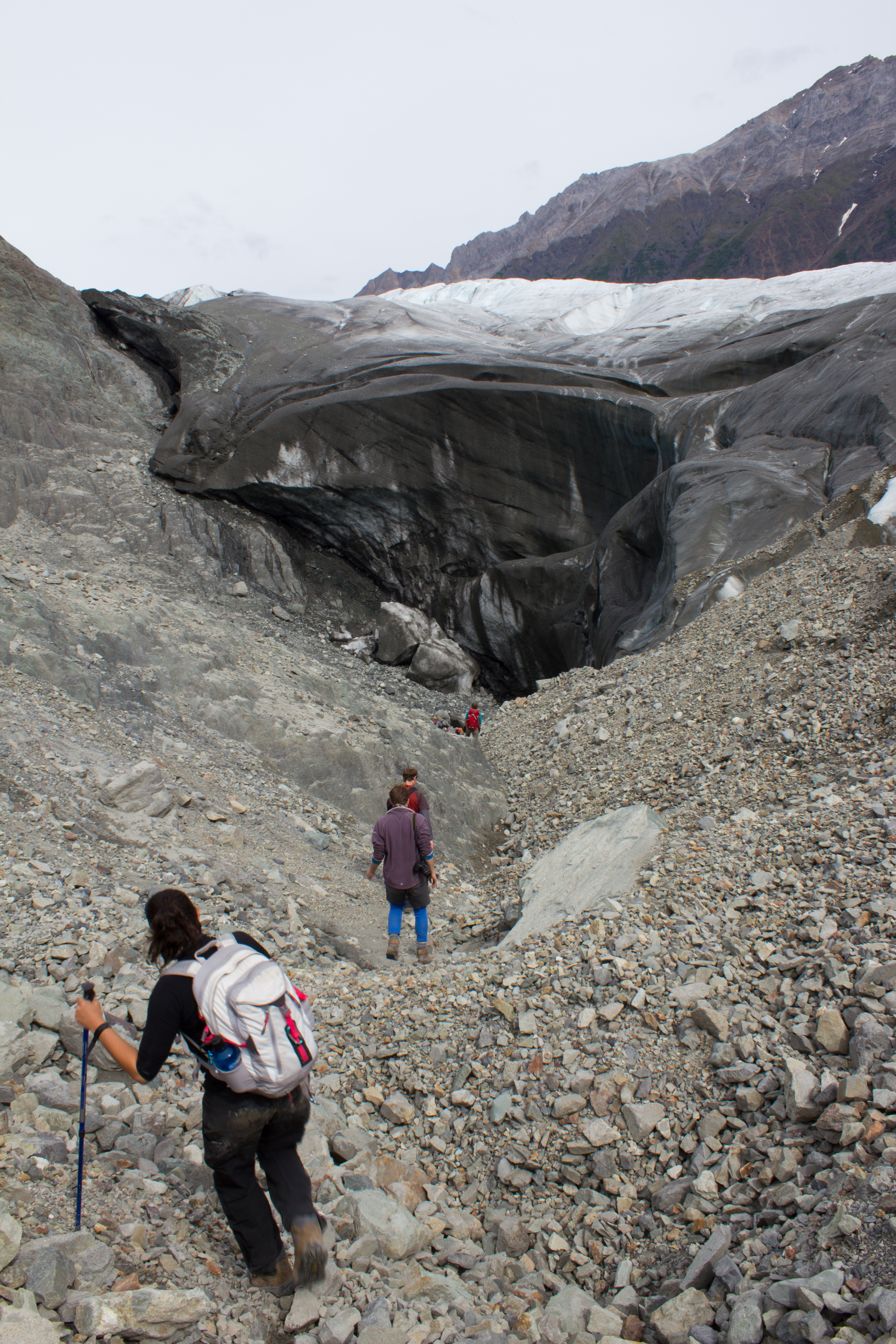
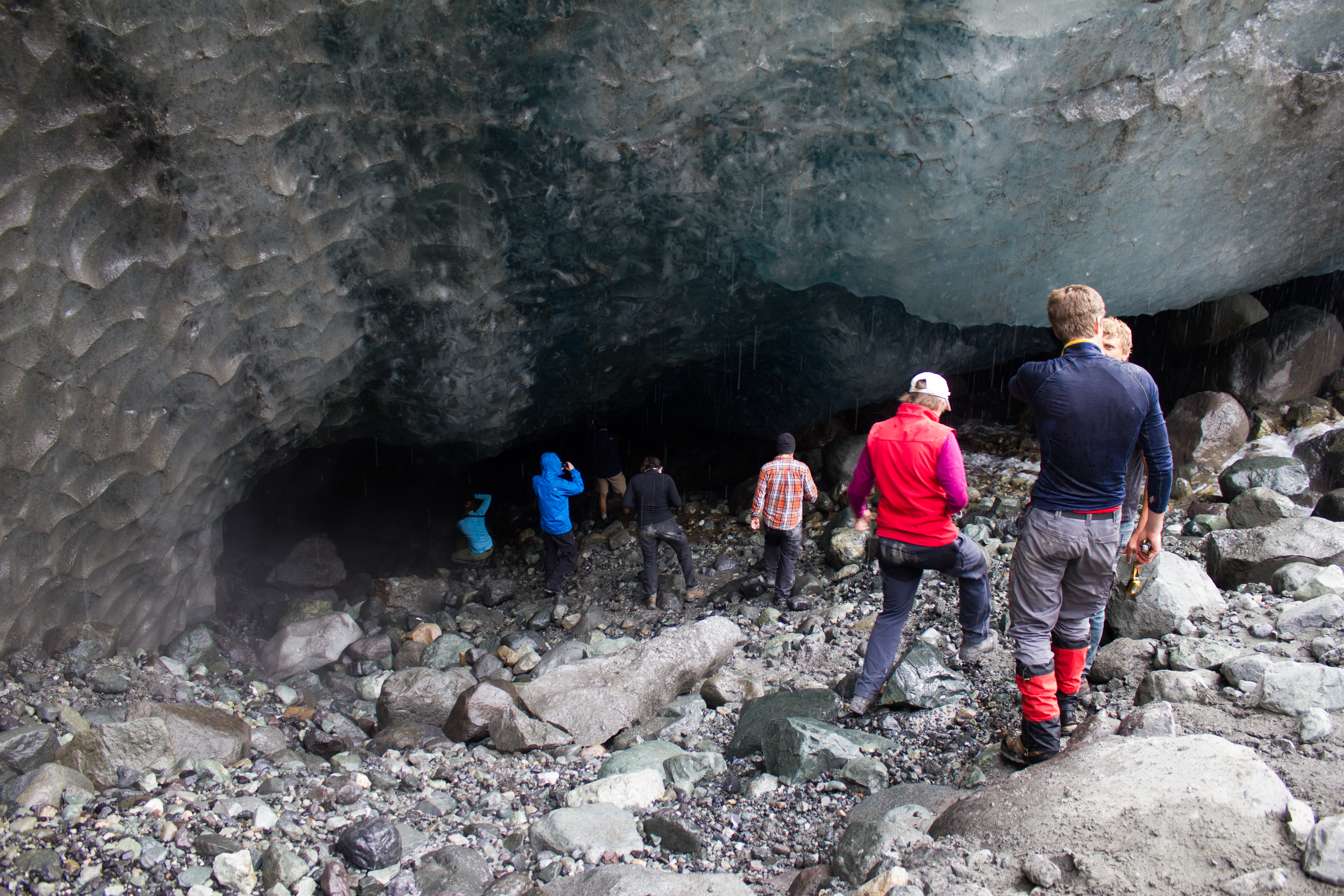
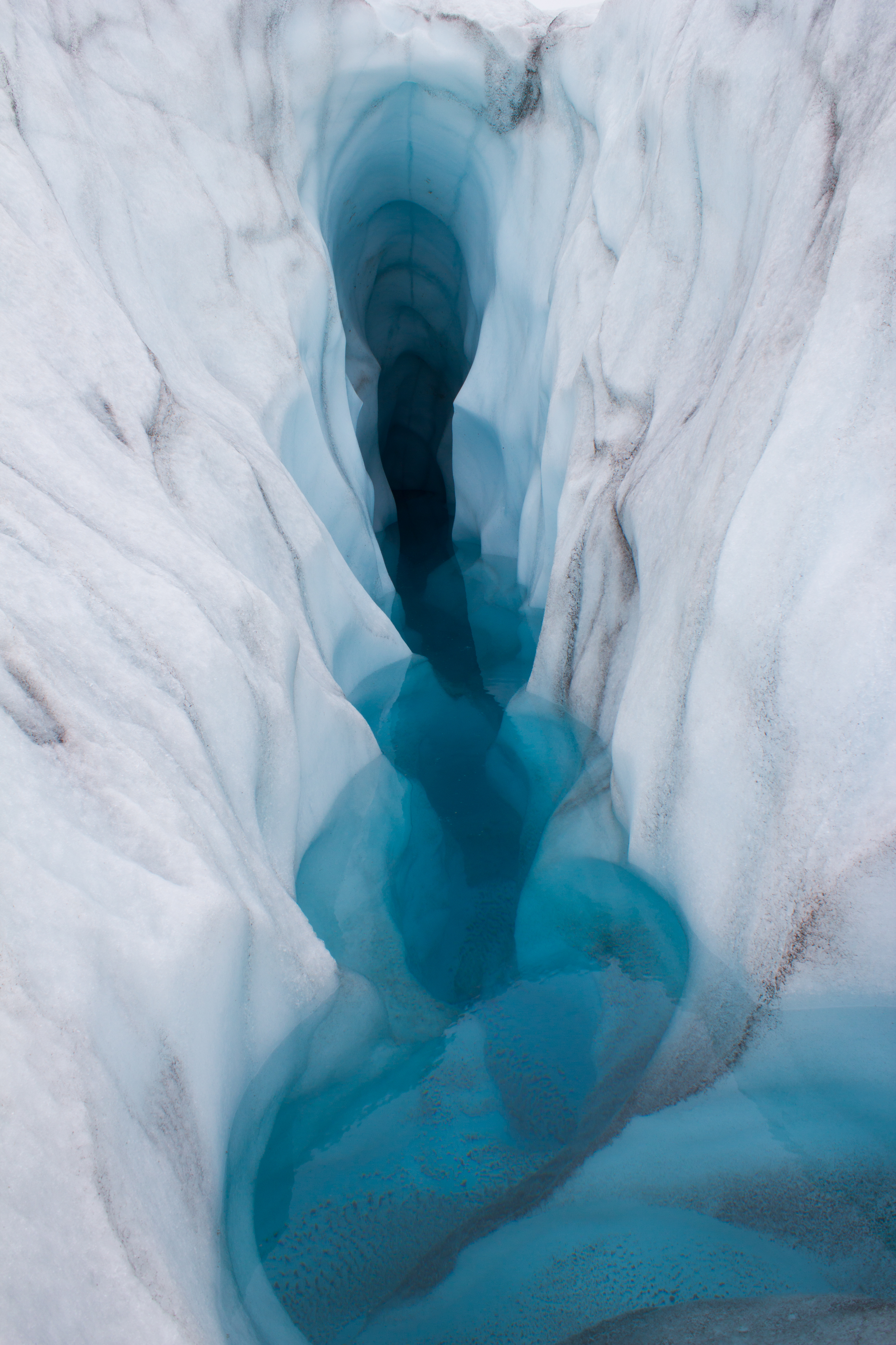
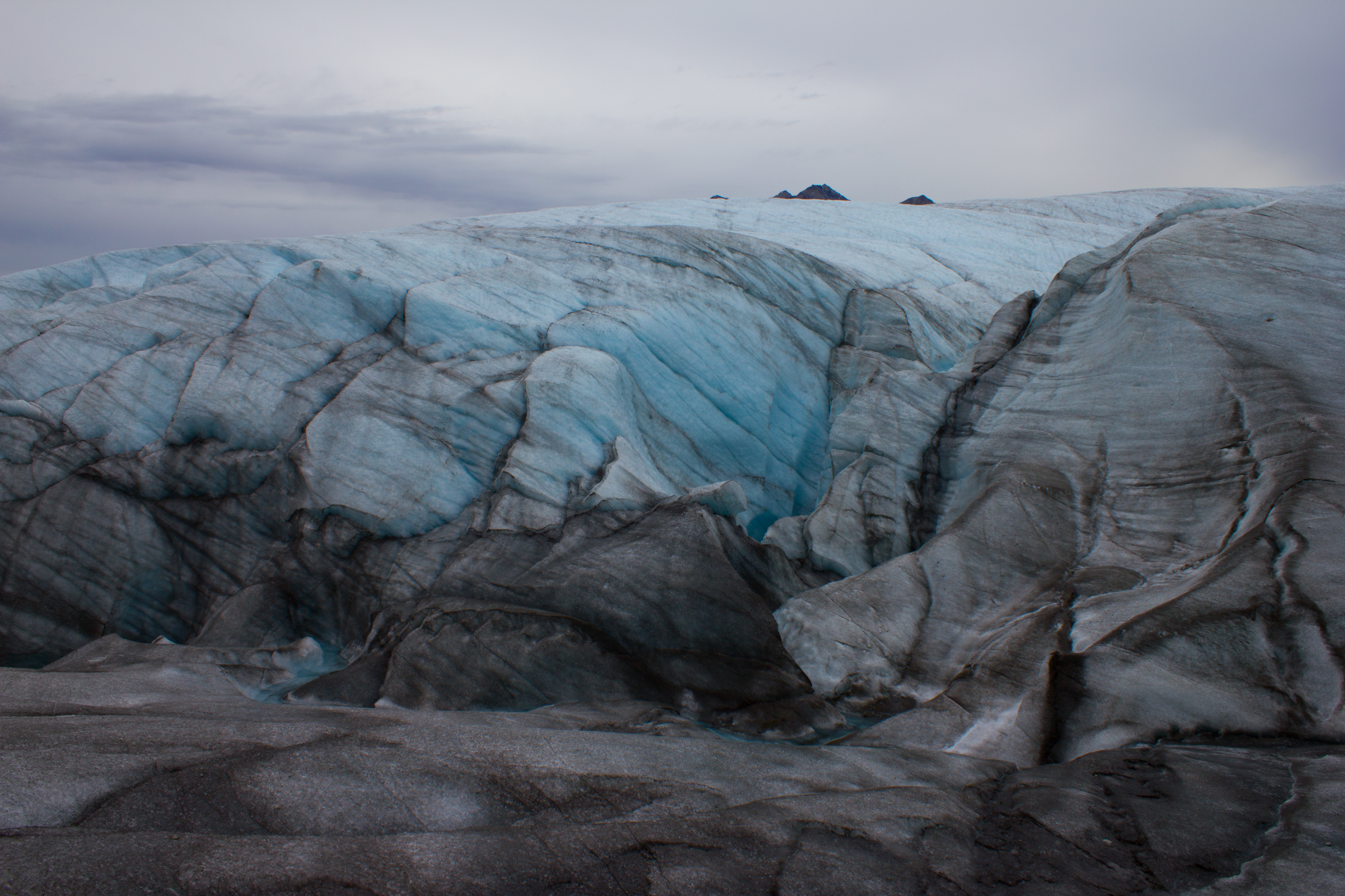
Descending into a temporarily empty lake basin. This lake, along the margin of the Root glacier, can fill or drain in a day; the water flowing through subglacial channels.
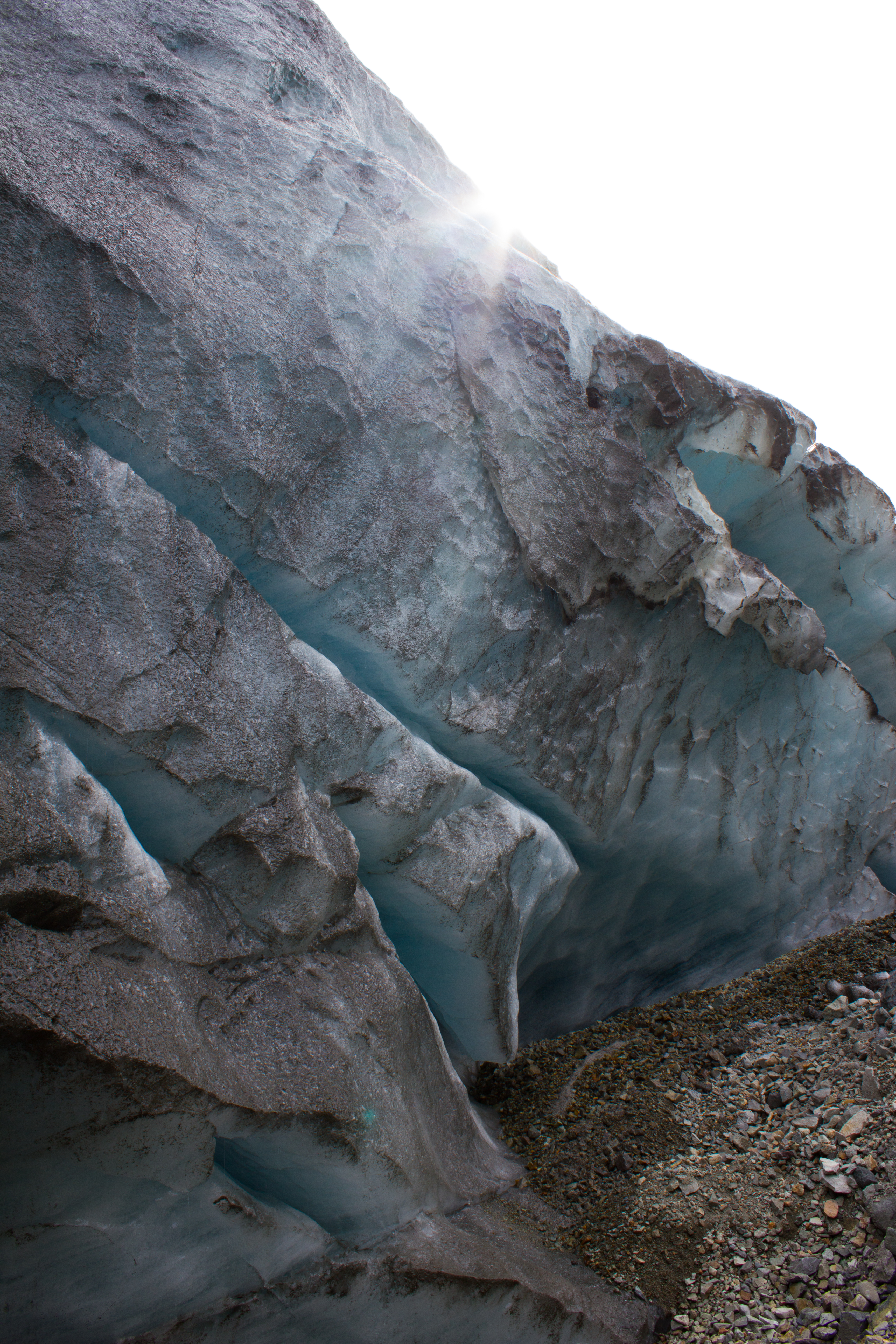
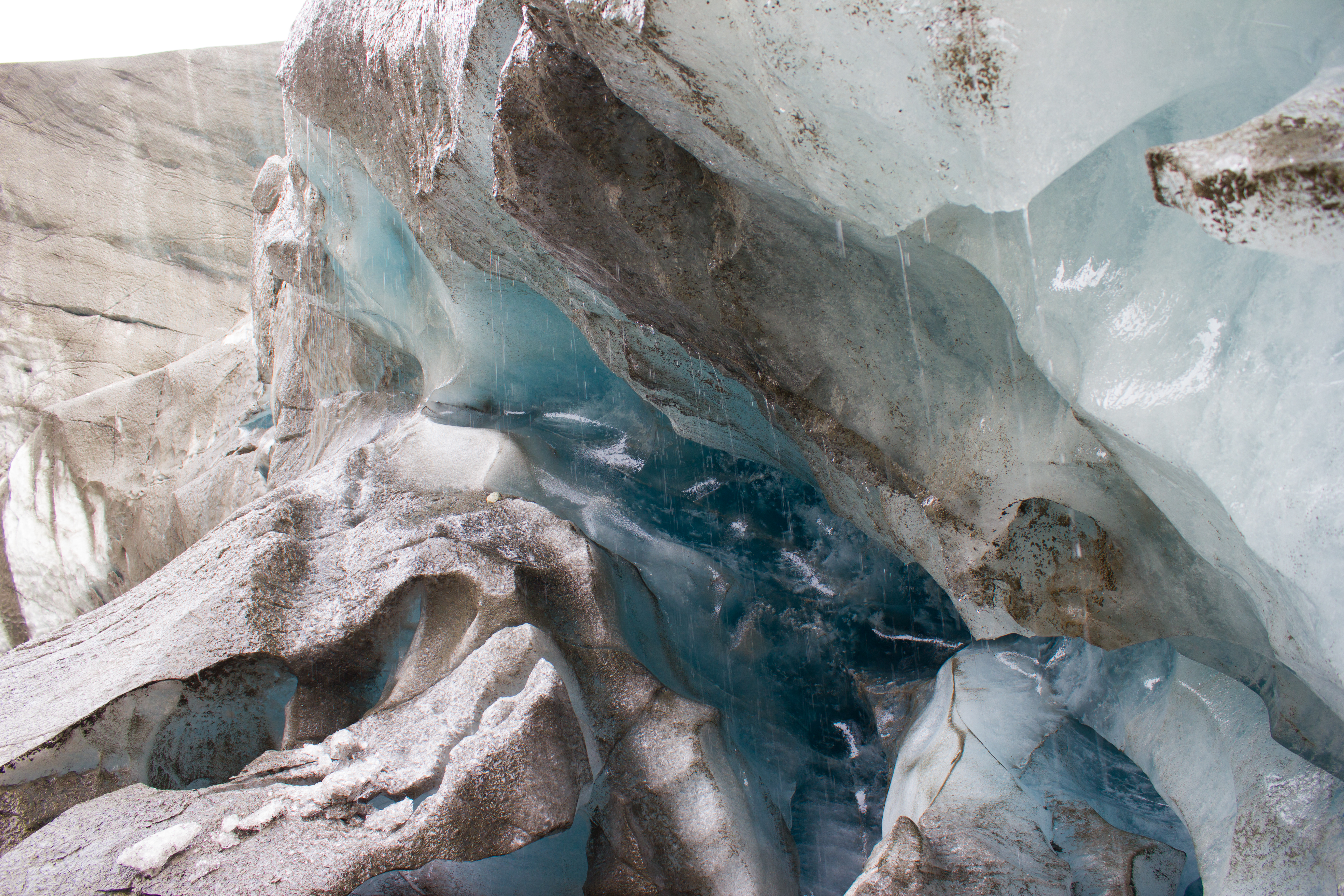
What lies beneath a glacier?
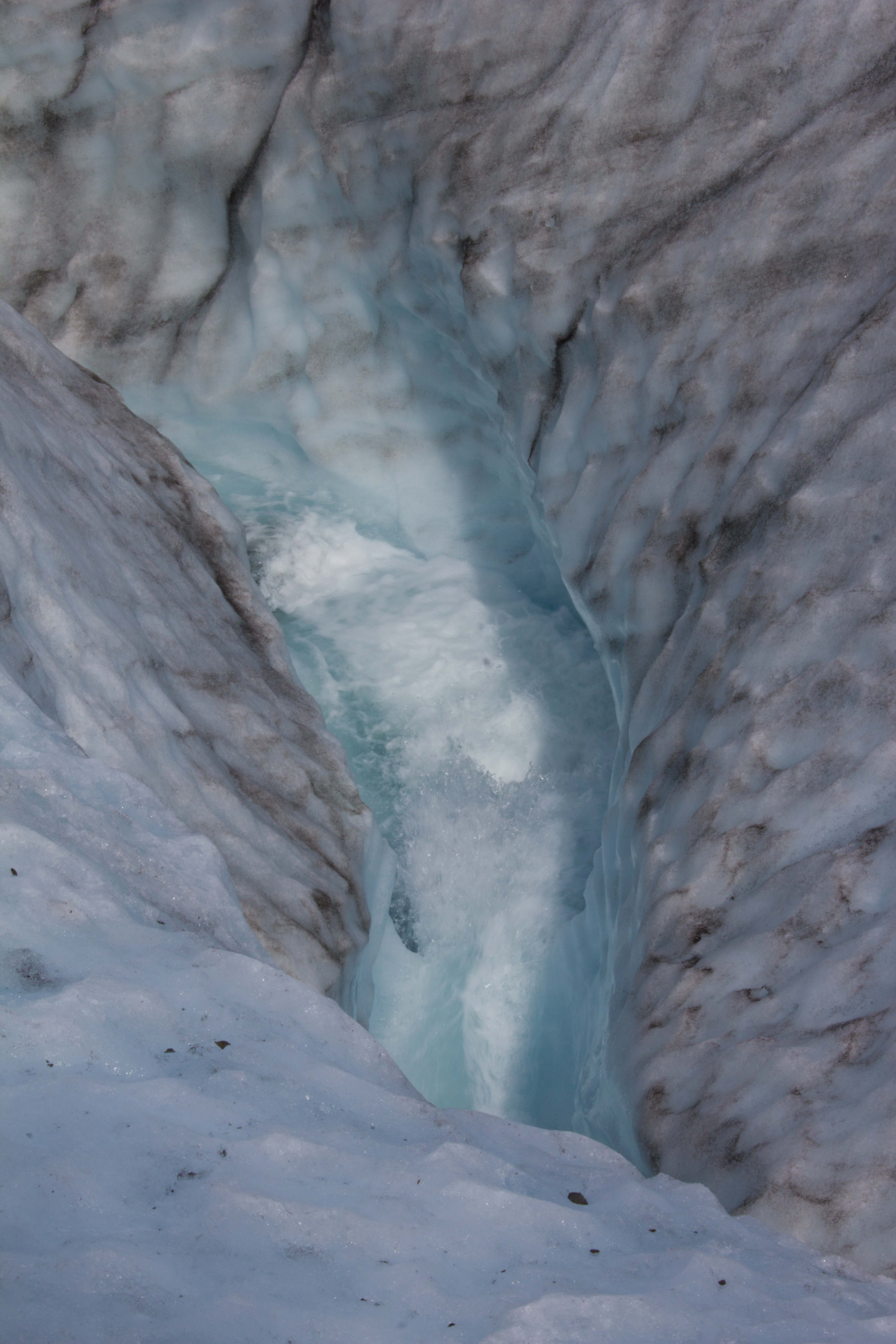
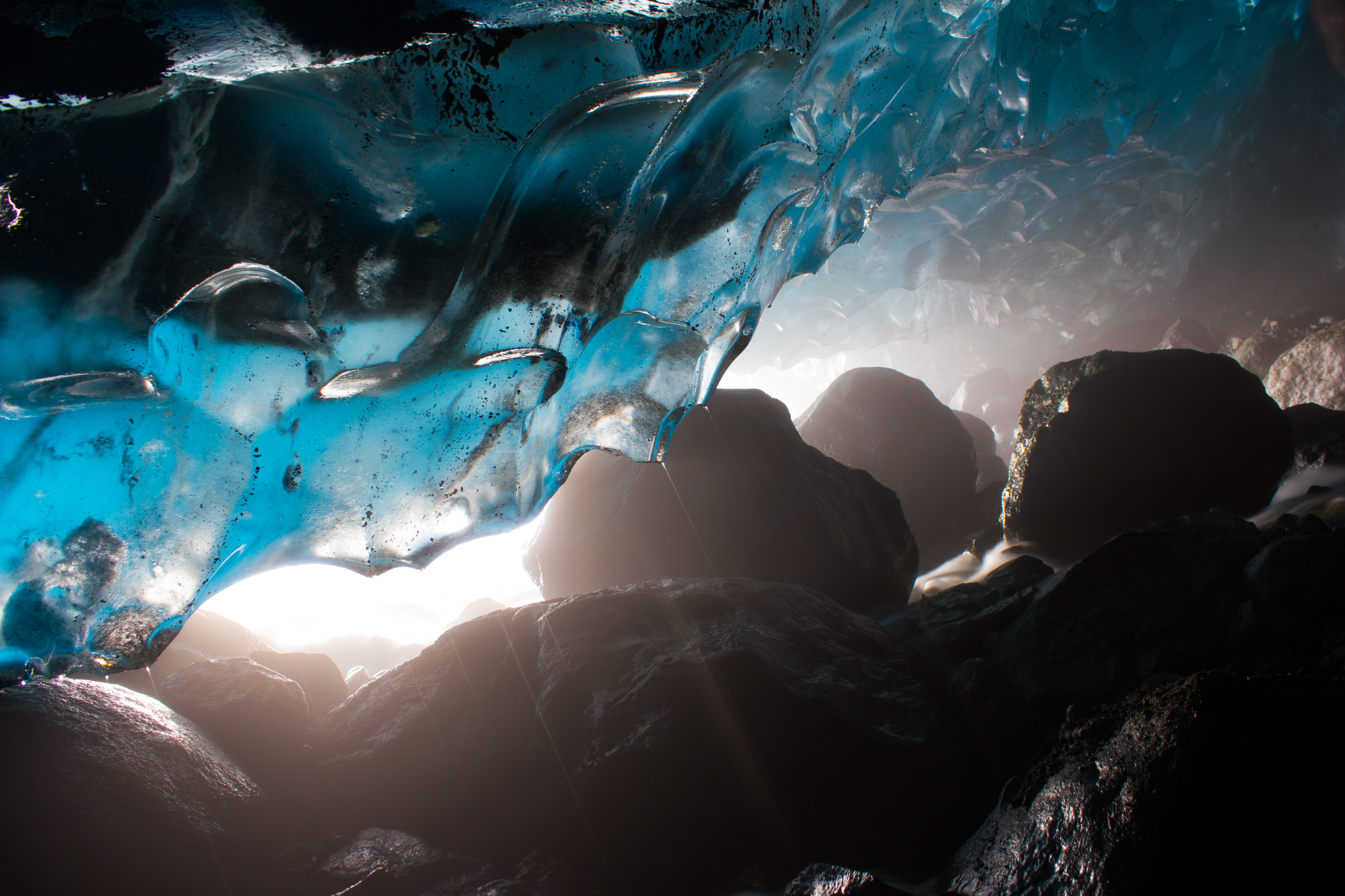
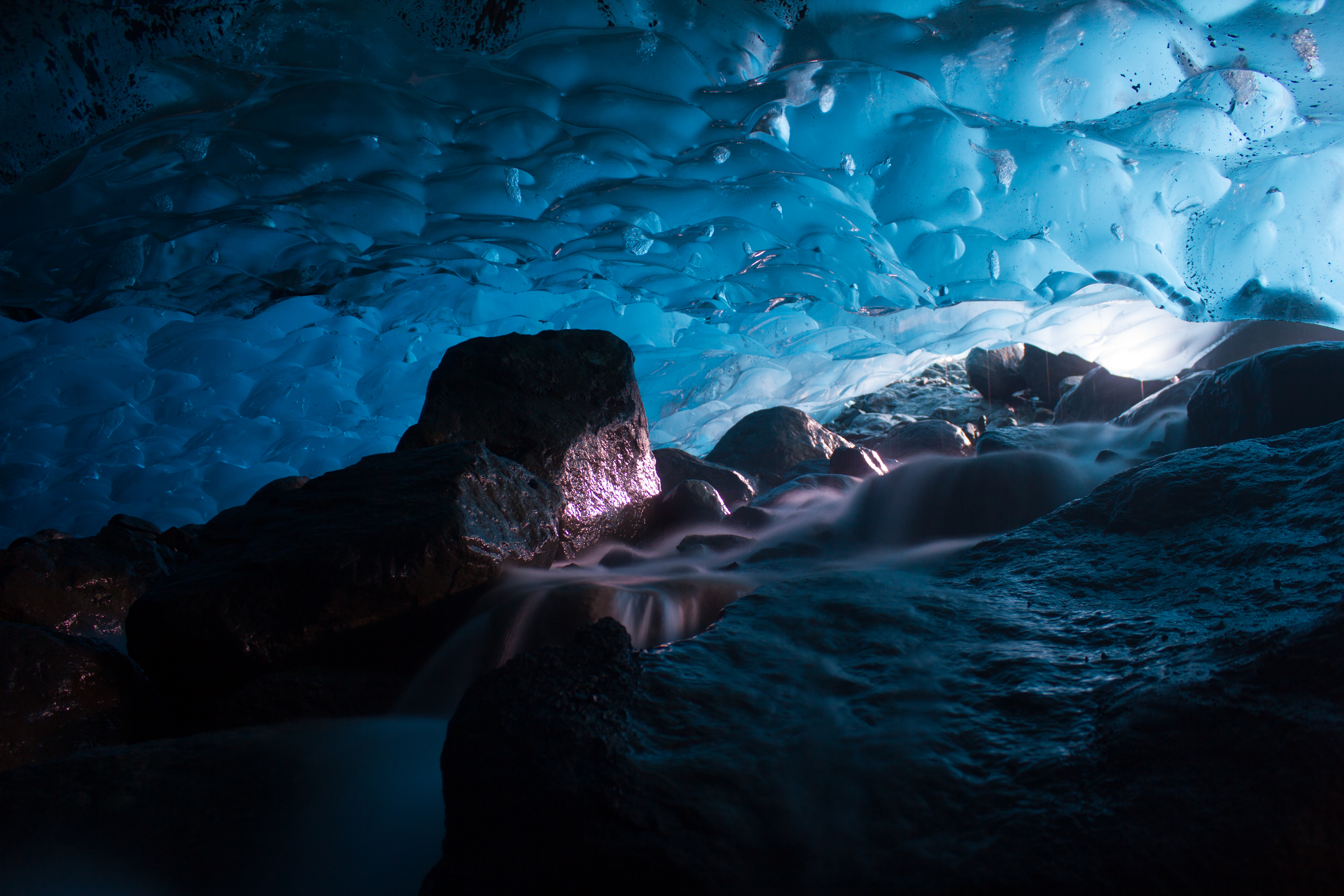
The blue room. I spent longer crouched in a subglacial river than is probably recommended, but it was a hard place to leave.
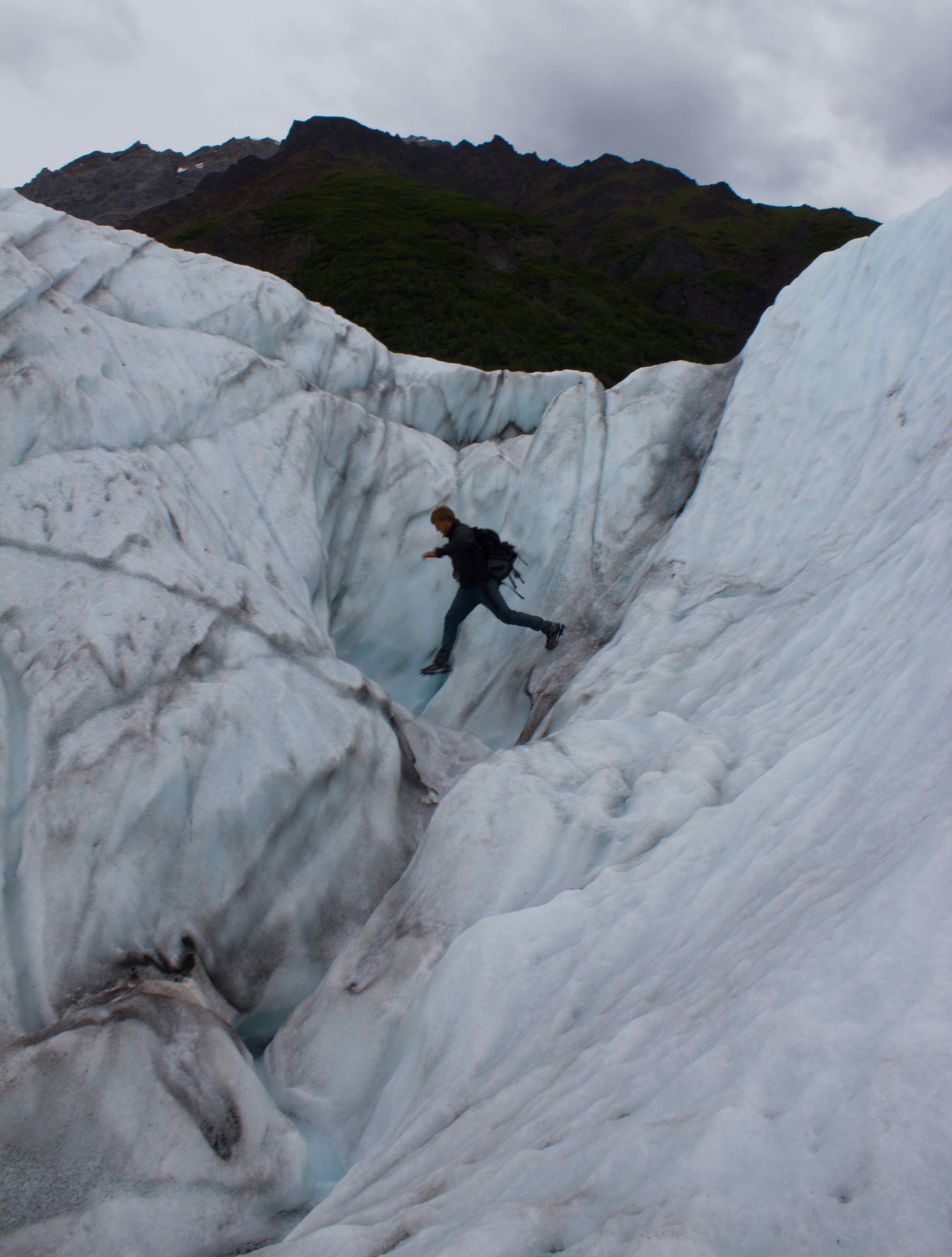
Having seen all there is to see on the surface of a glacier, Colin decides to check out a moulin (not really; don’t do this).
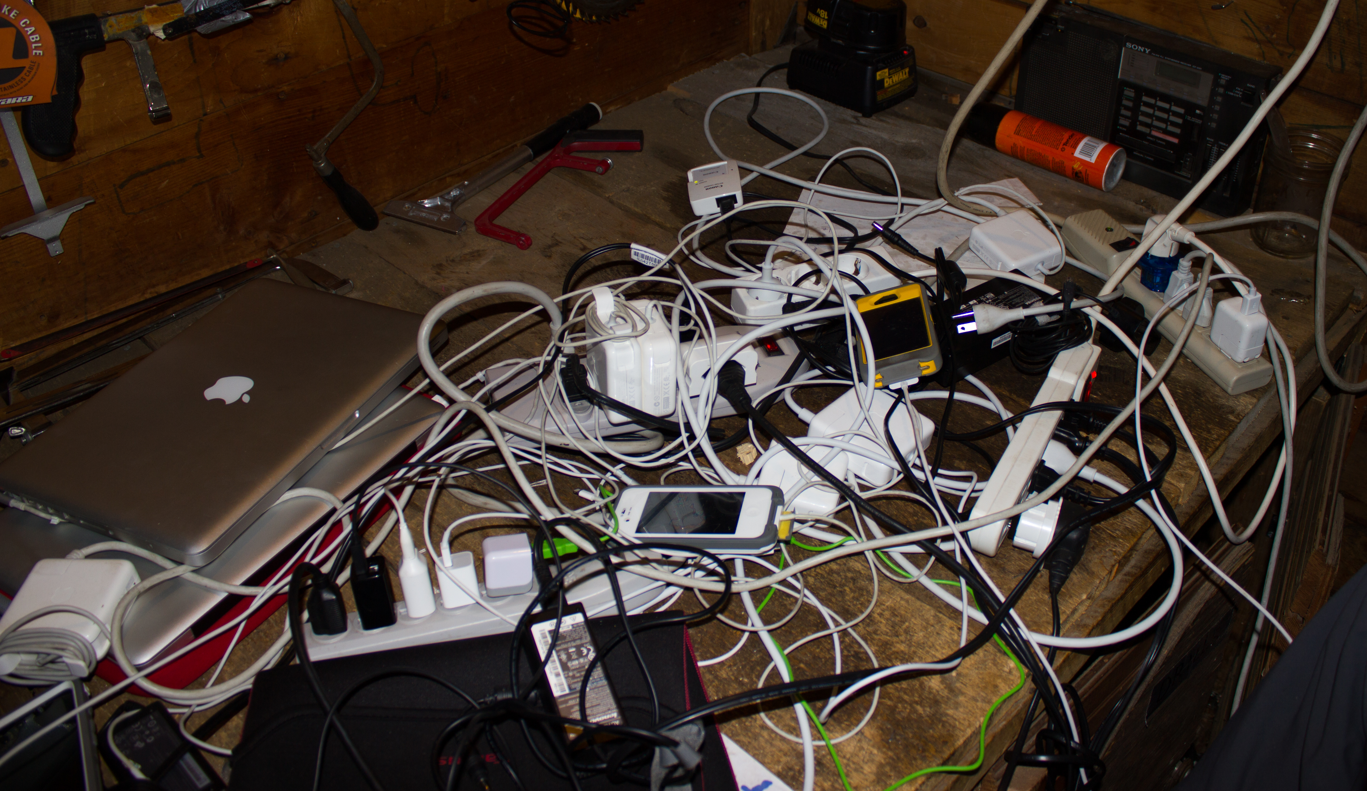
Outlets were a commodity when power was available.
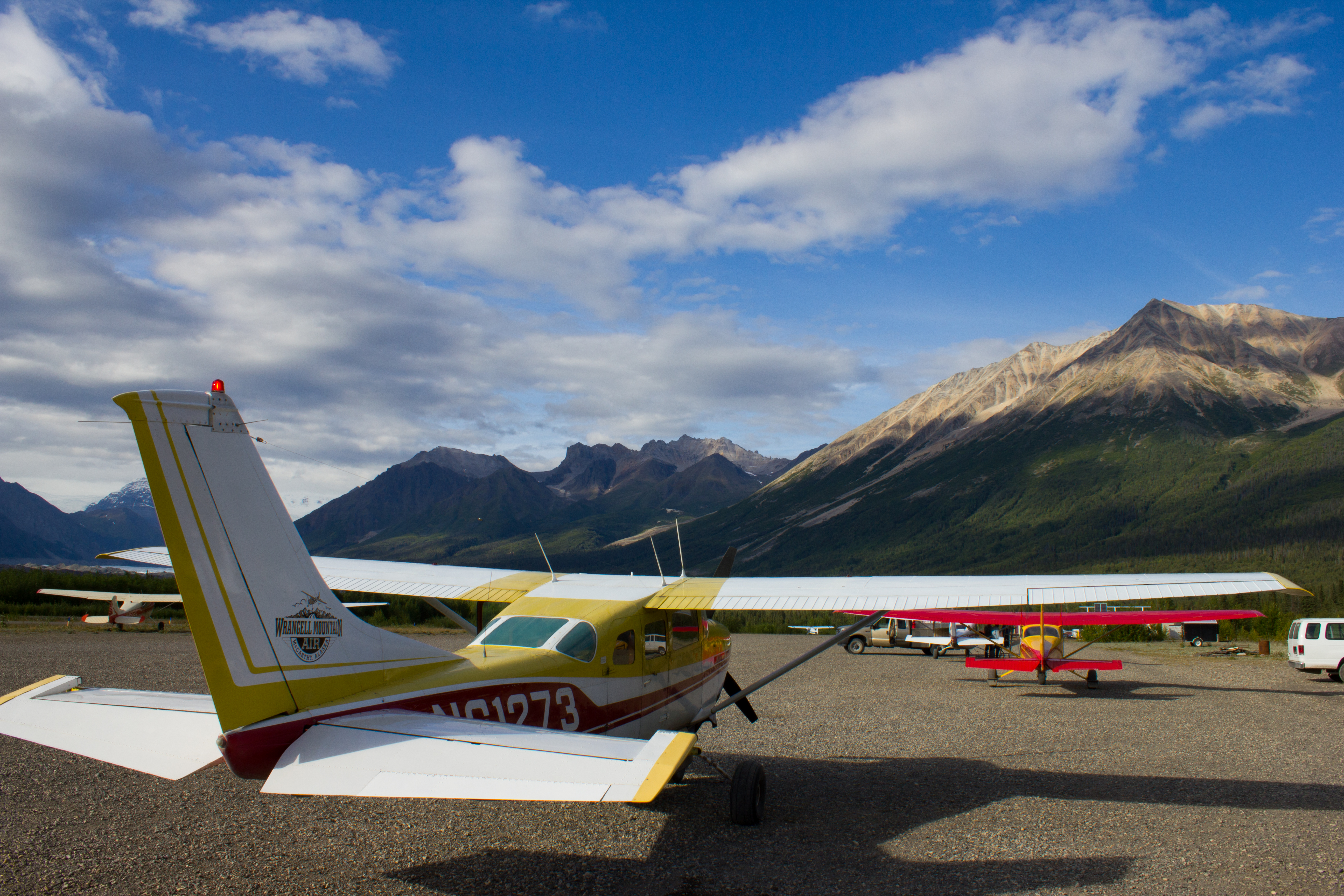
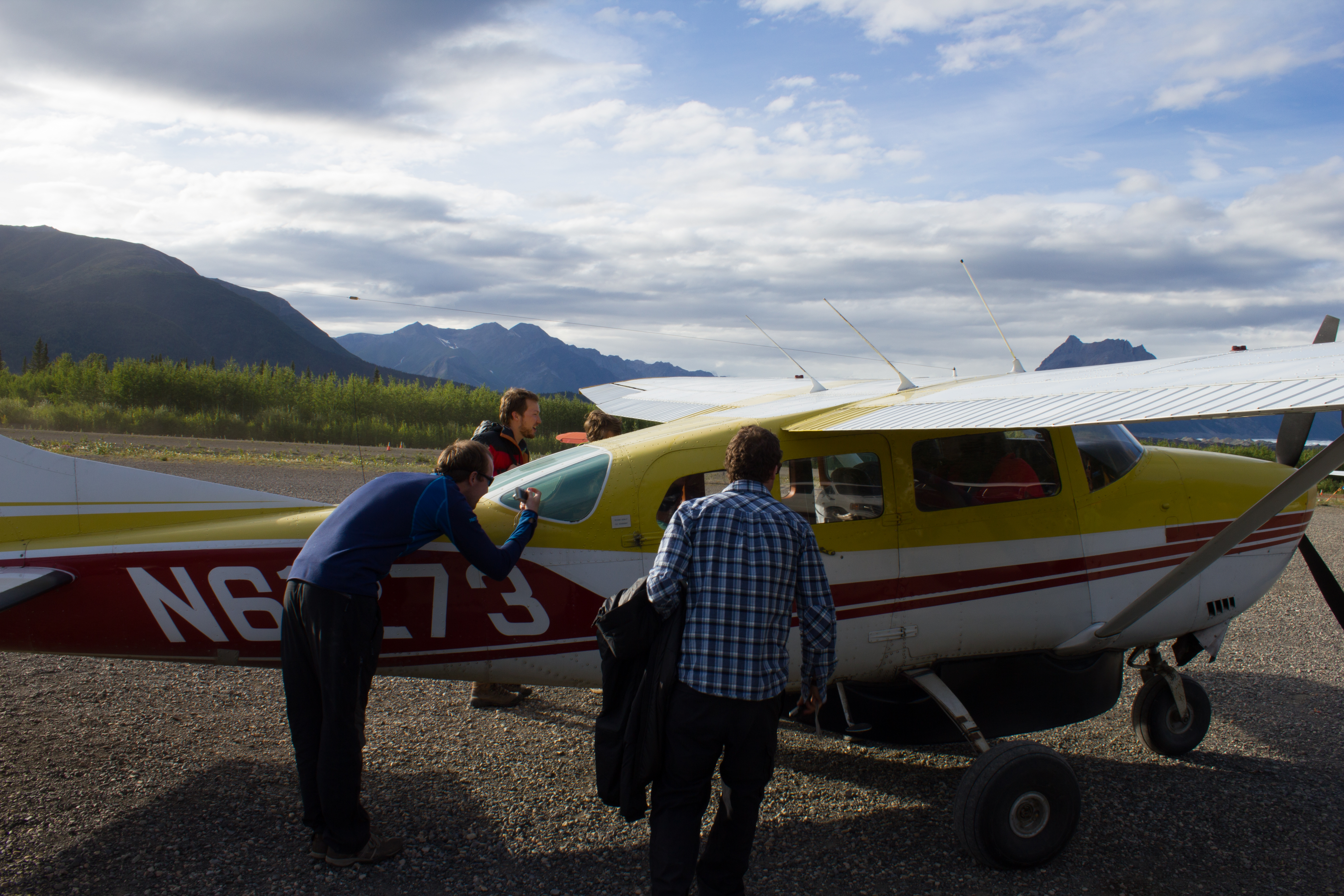
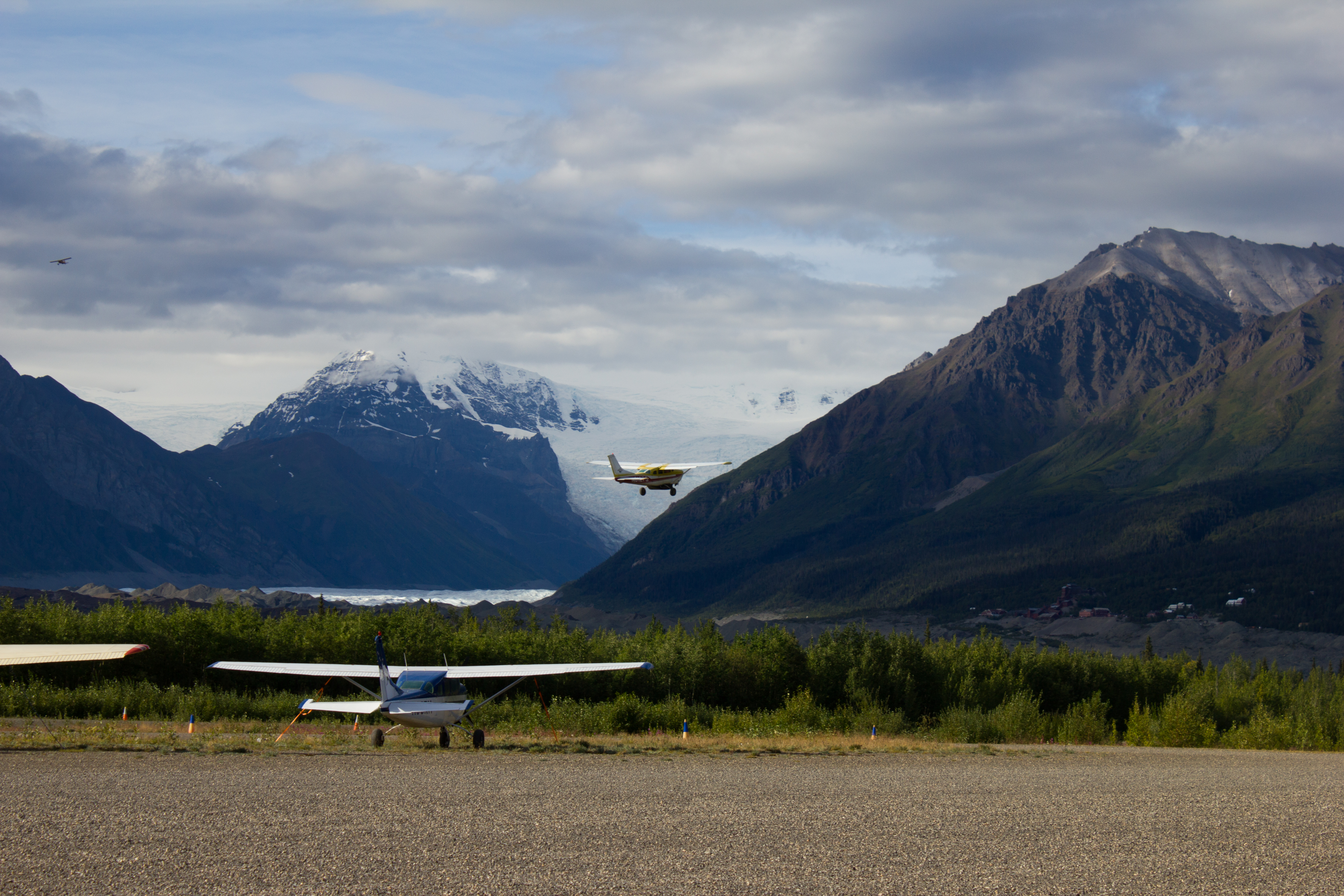
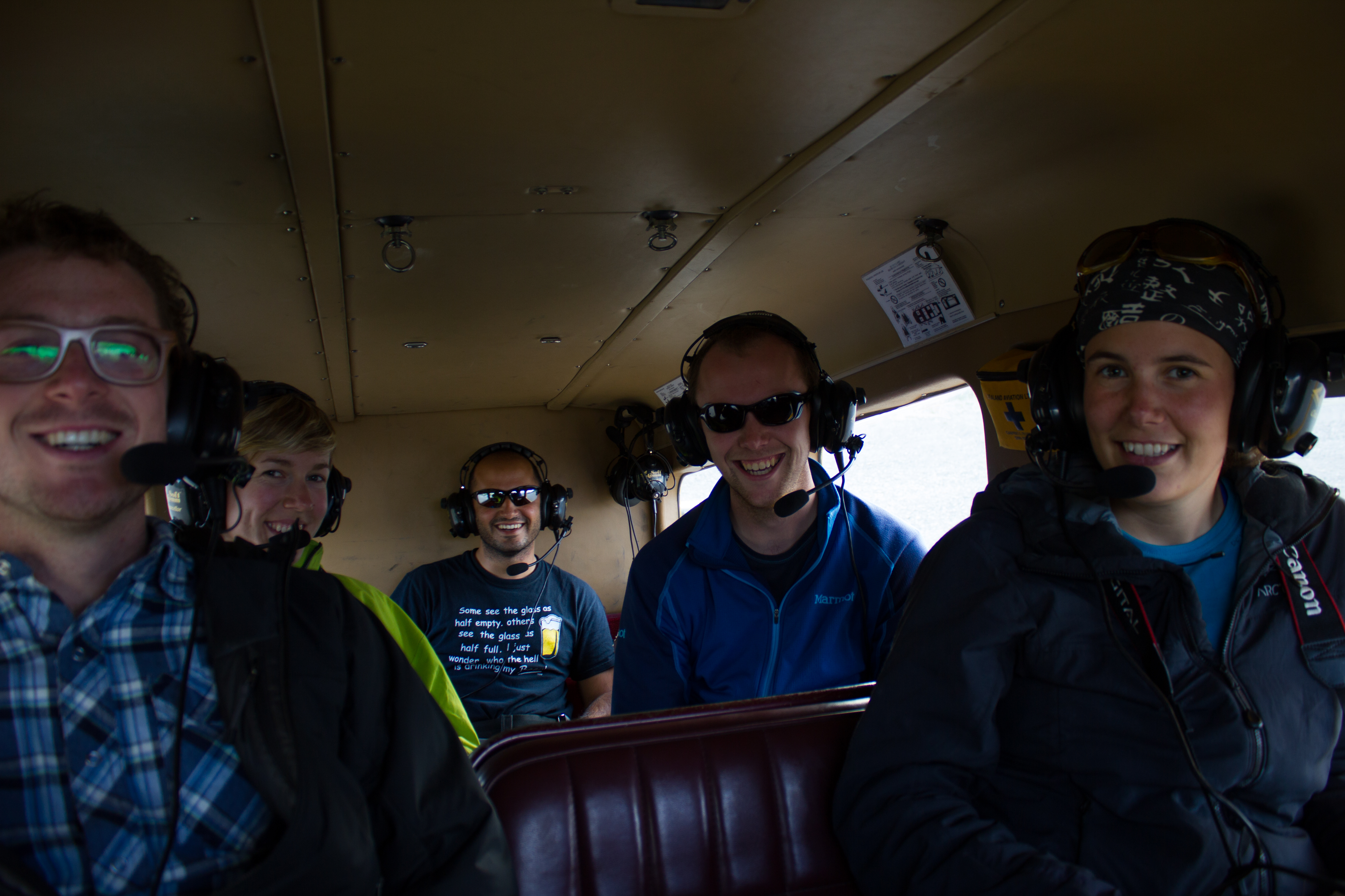
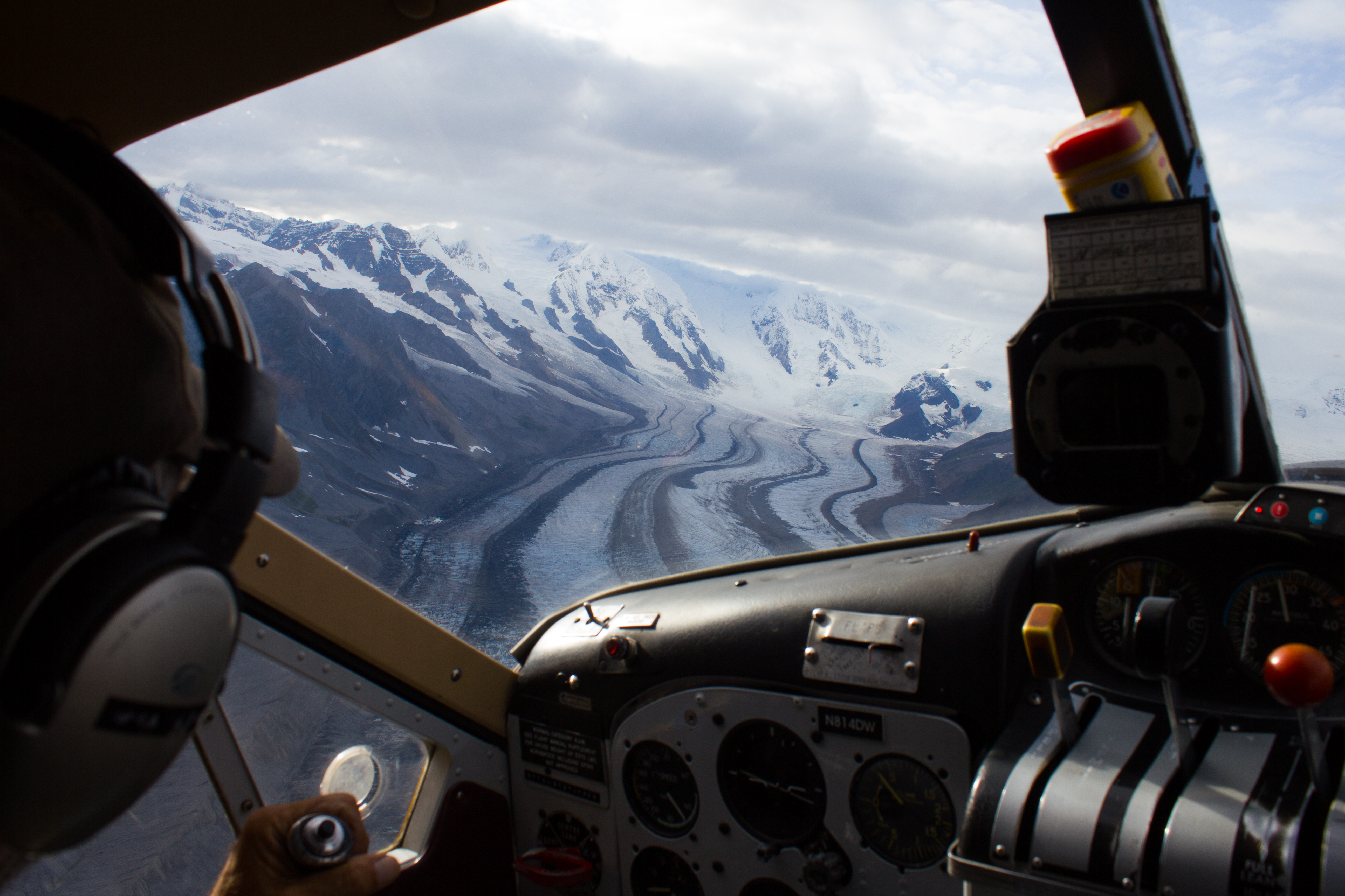
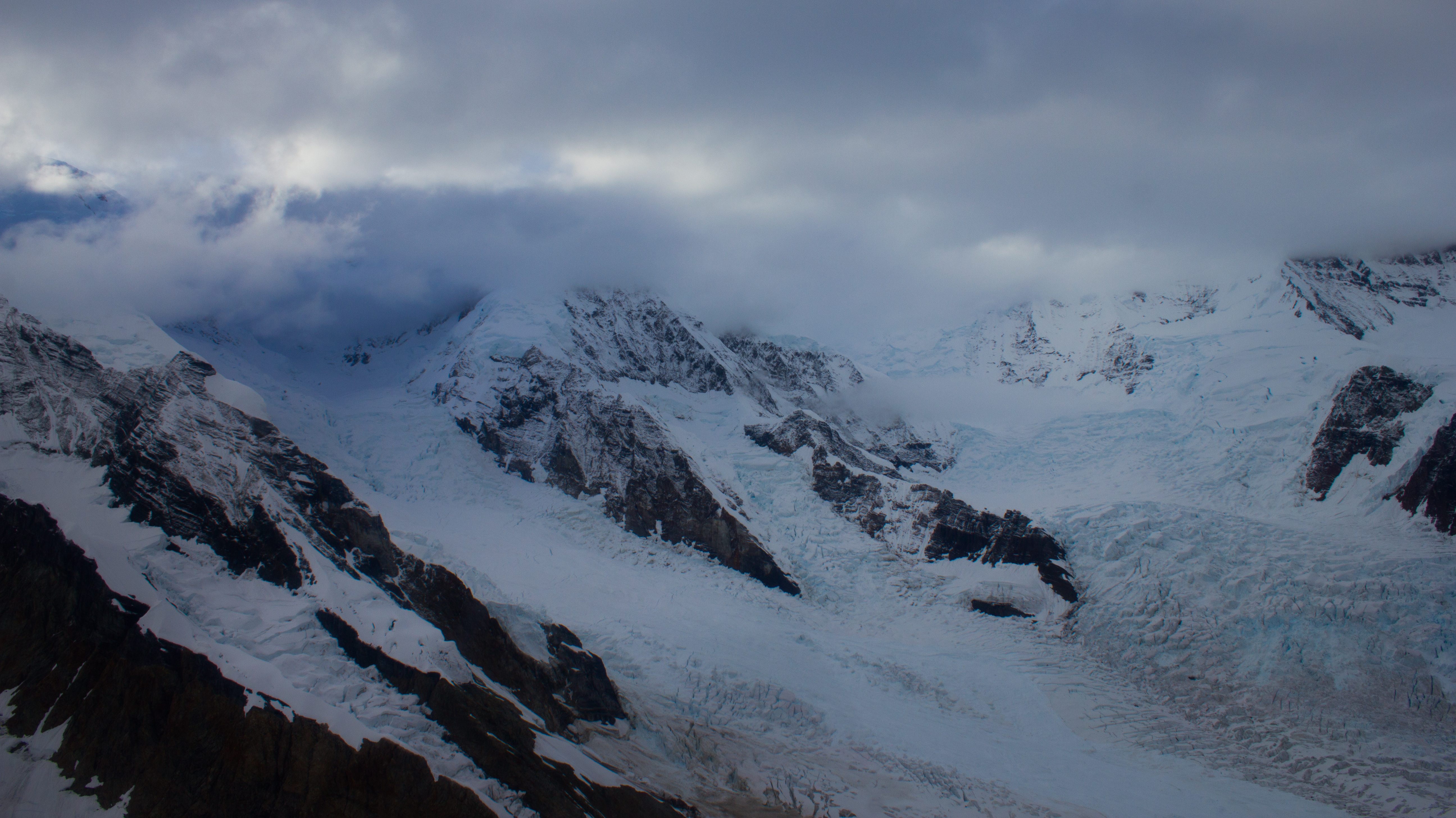
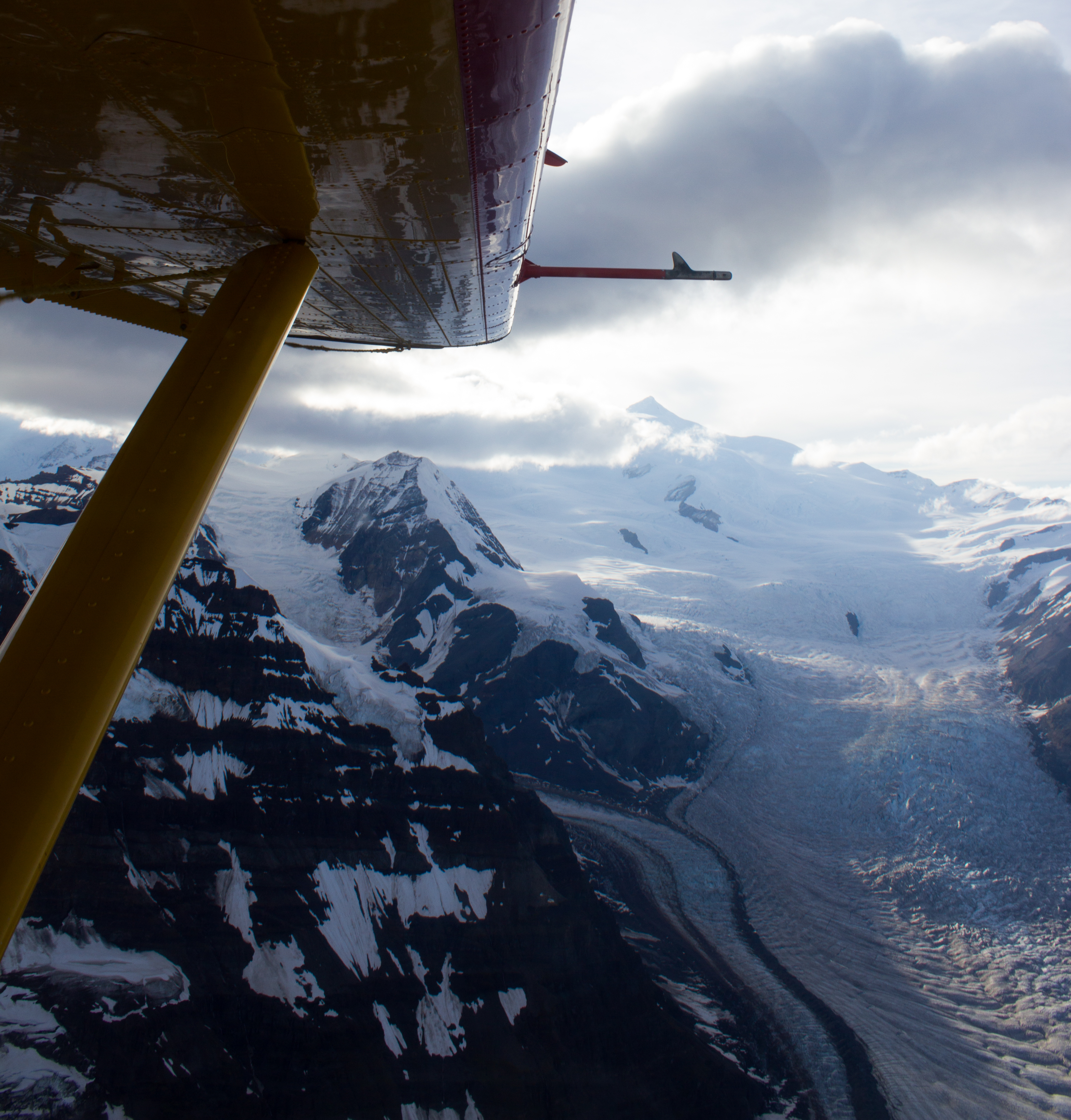
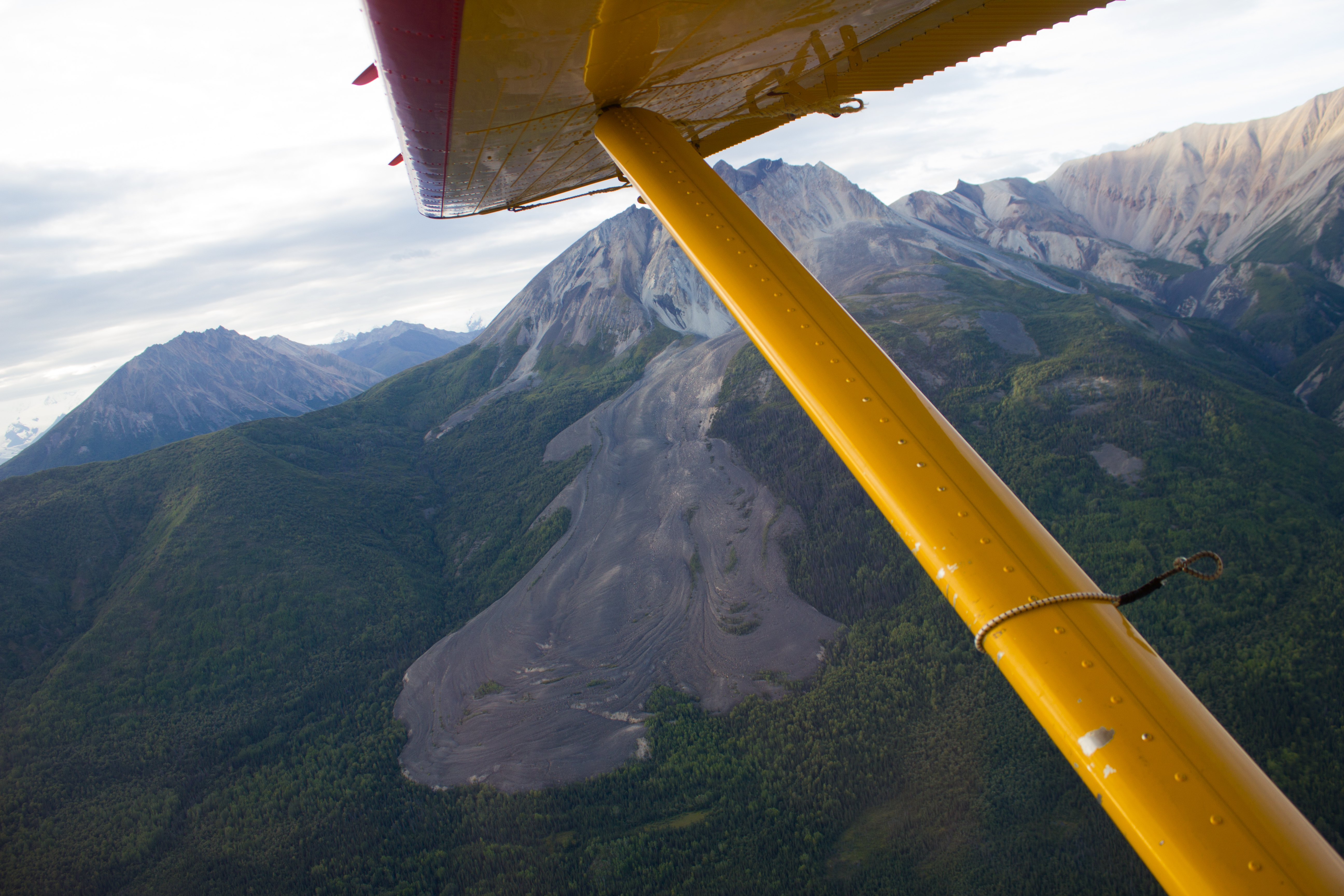
A group of us took advantage of the landing strip in McCarthy, and arranged a flight over the surrounding glaciers and mountains.
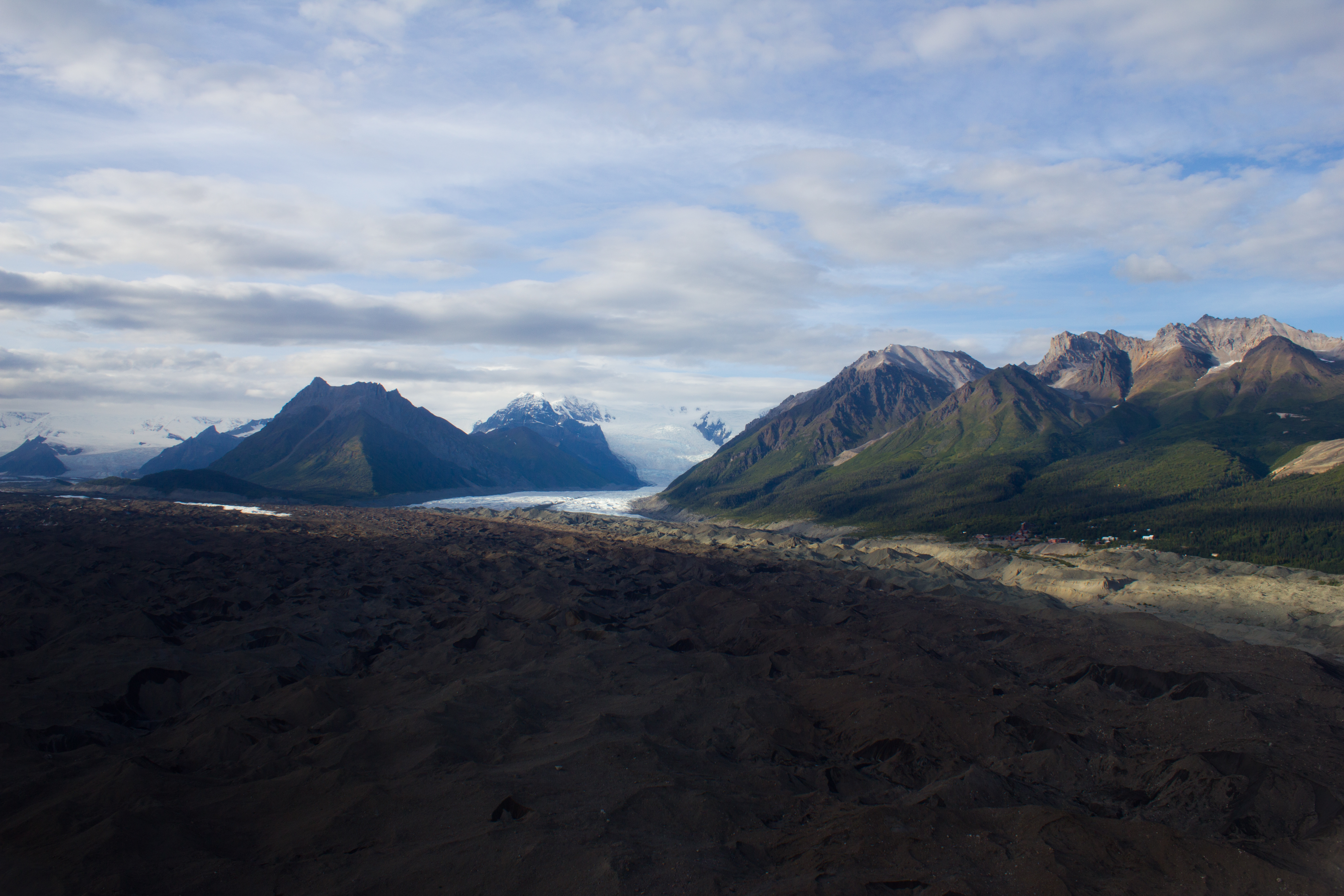
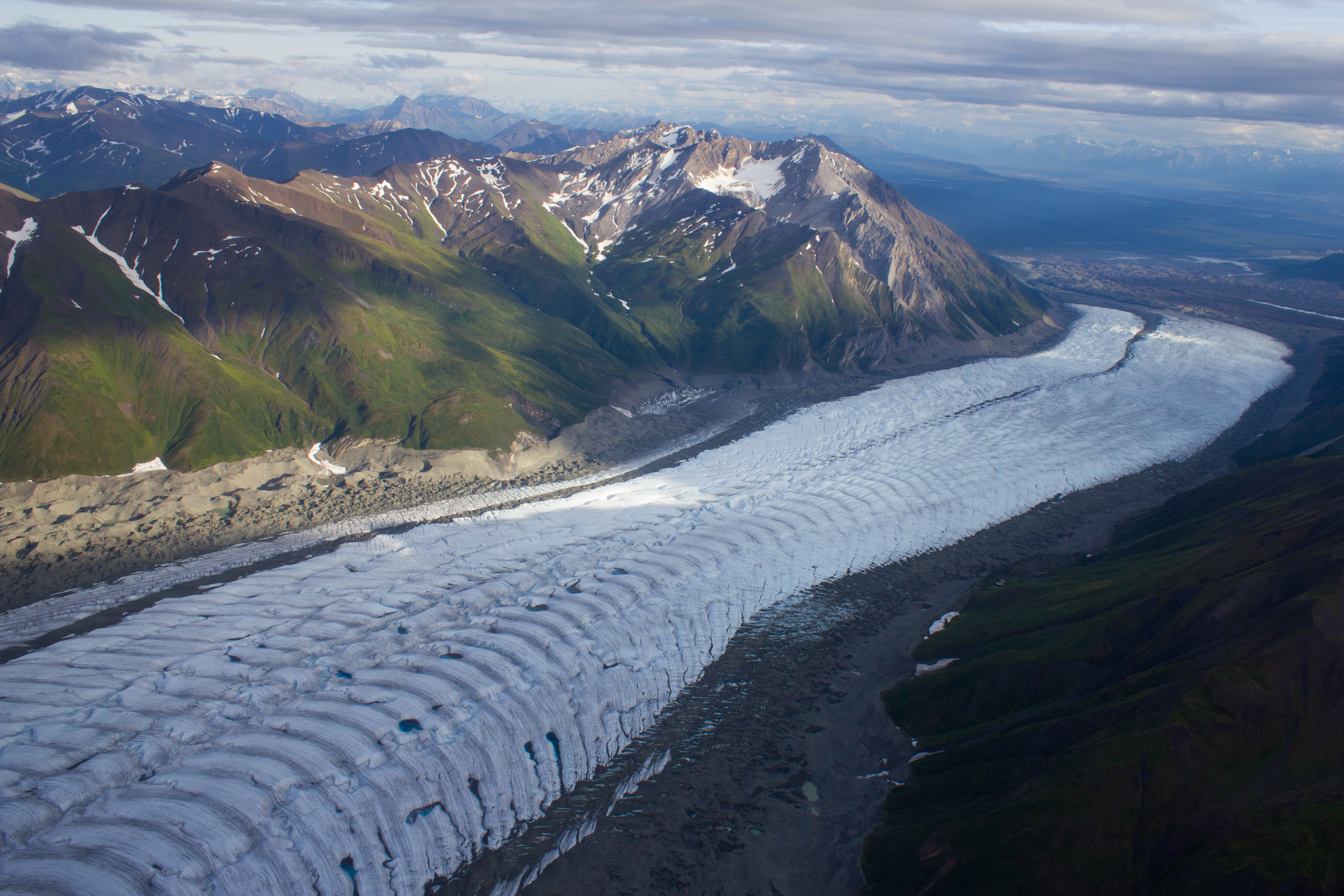
The debris covered terminus of the Kennicott glacier. The village of Kennicott can be seen along the right margin.
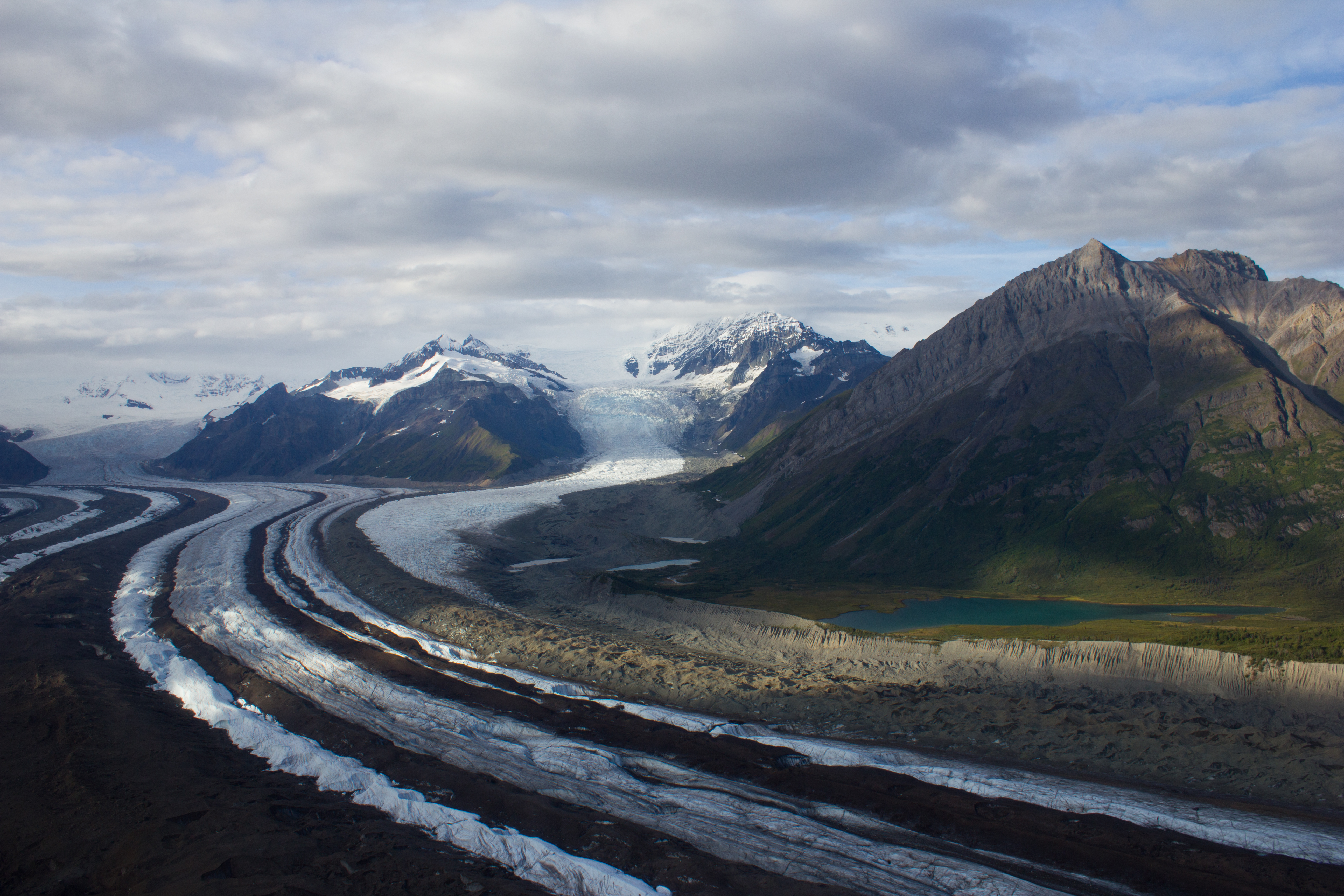
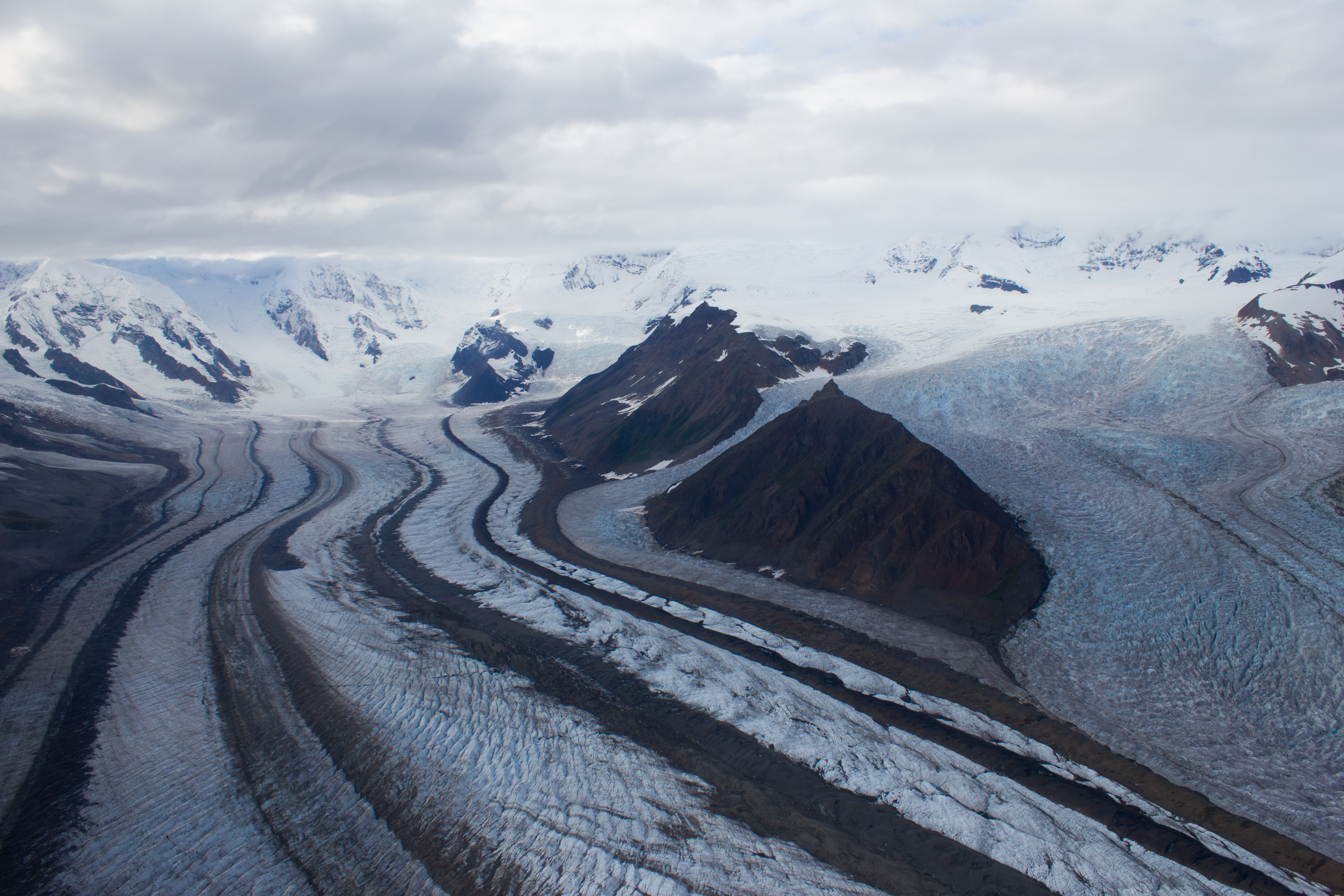
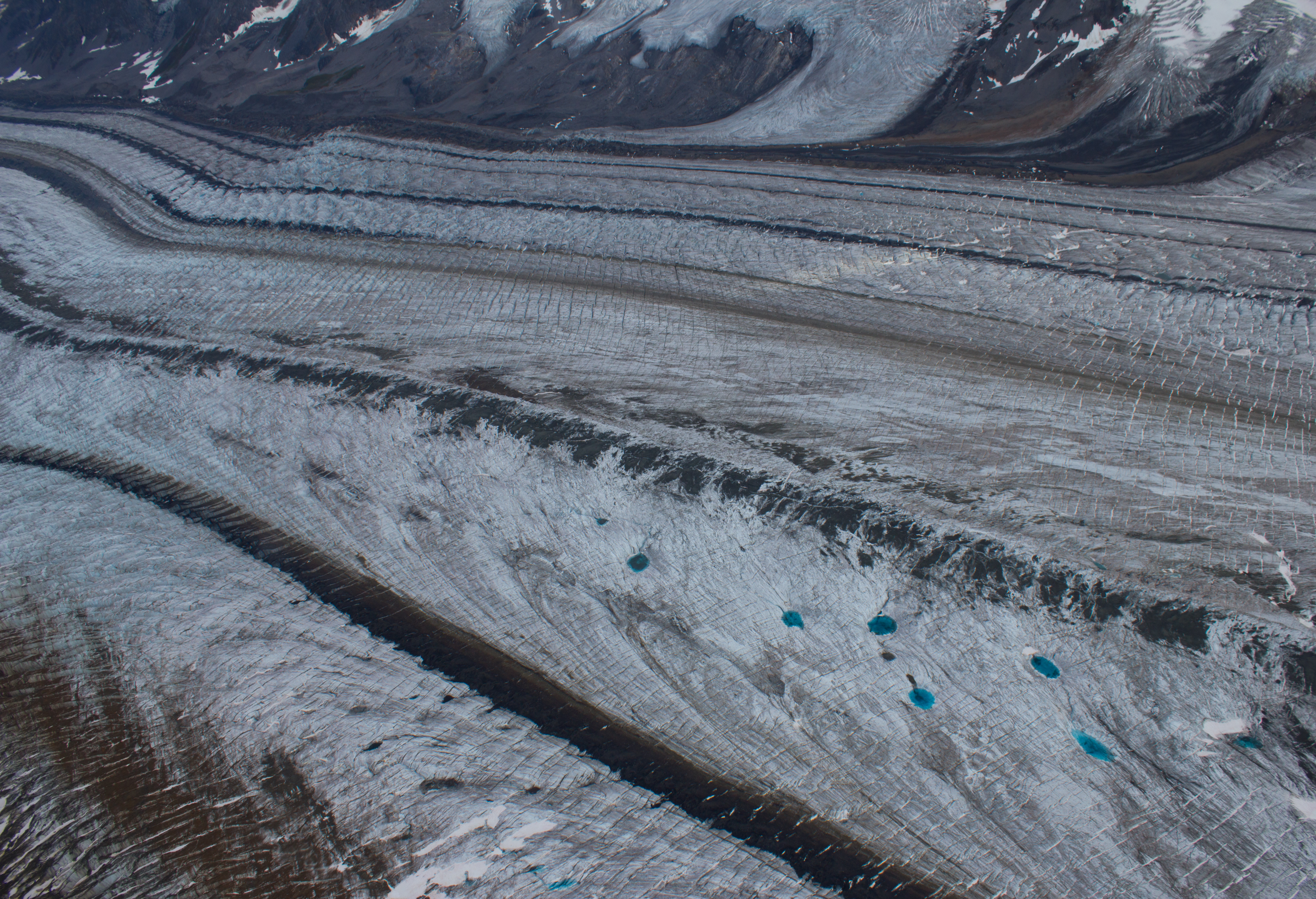
Further up the Kennicott, medial moraines are visible as dark bands on the surface, and are formed by the merging of several tributary glaciers (and their lateral moraines).
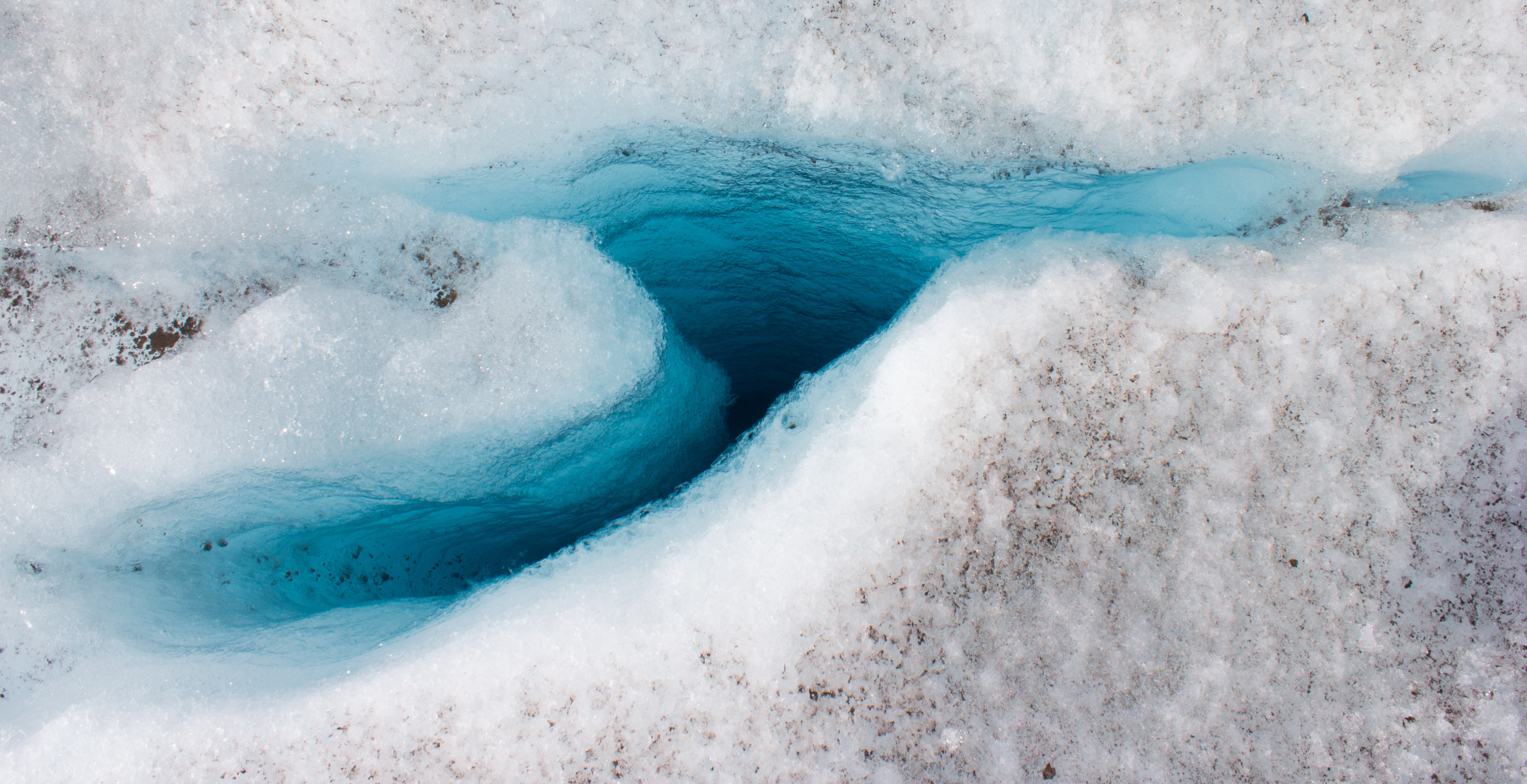
Medial moraines and incredibly blue melt water pools.
Many thanks Noel for the great photos from Alaska and for letting us share in your adventures in the land of glaciers and bears ! We particularly liked the views from the plane and the shots from under the glacier. Continued success !
The folks back home.
A fanastic account of another great adventure Noel. Secondary school geography would have been a lot more interesting if it featured articles like this!


Many thanks Noel for the great photos from Alaska and for letting us share in your adventures in the land of glaciers and bears ! We particularly liked the views from the plane and the shots from under the glacier. Continued success !
The folks back home.
Glad you enjoyed it; thanks for looking! You’ll have to allow time for a trip up to Alaska when you visit Vancouver!
We are looking forward to that. We better bring just the BEAR necessities !
The folks.
Great photos, great post!!
Thanks for looking, glad you enjoyed it!
The blue room looks amazing. Actually it all looks amazing. Lucky you!
It was quite epic; lucky me indeed!
A fanastic account of another great adventure Noel. Secondary school geography would have been a lot more interesting if it featured articles like this!
Cheers John, appreciate you taking time to read it.