“There is no such thing as ‘just’ ice.” Not to a glaciologist anyway.
Professor Doug Benn is recounting to us his reply to a reviewer who questioned his use of the term ‘refrozen water ice’. While this may sound superfluous, the many variations in density, temperature, content, layering, and colour of glacier ice can tell us a lot about its history, and potentially, about it’s future.
Prepping the Ground penetrating radar (GPR) on Longyearbreen. GPR is used in glaciology to look at the thickness and structure of a glacier. The GPR is towed across the surface, emitting pulses of energy which pass through the ice. These pulses bounce of the rock underneath the glacier, and are reflected back to the GPR, like an echo when you shout in a valley. The time it takes for this echo to travel back to the GPR tells us how far it has travelled, and hence, how thick the ice is. GPR can also be used to see if there are regions in the glacier that are ‘warm’ i.e. at its melting point, by reflecting off liquid water. The presence of these warm sections in a glacier can tell us about the glacier’s present and past; how it moves, how it used to move, and how its behaviour has changed with time.
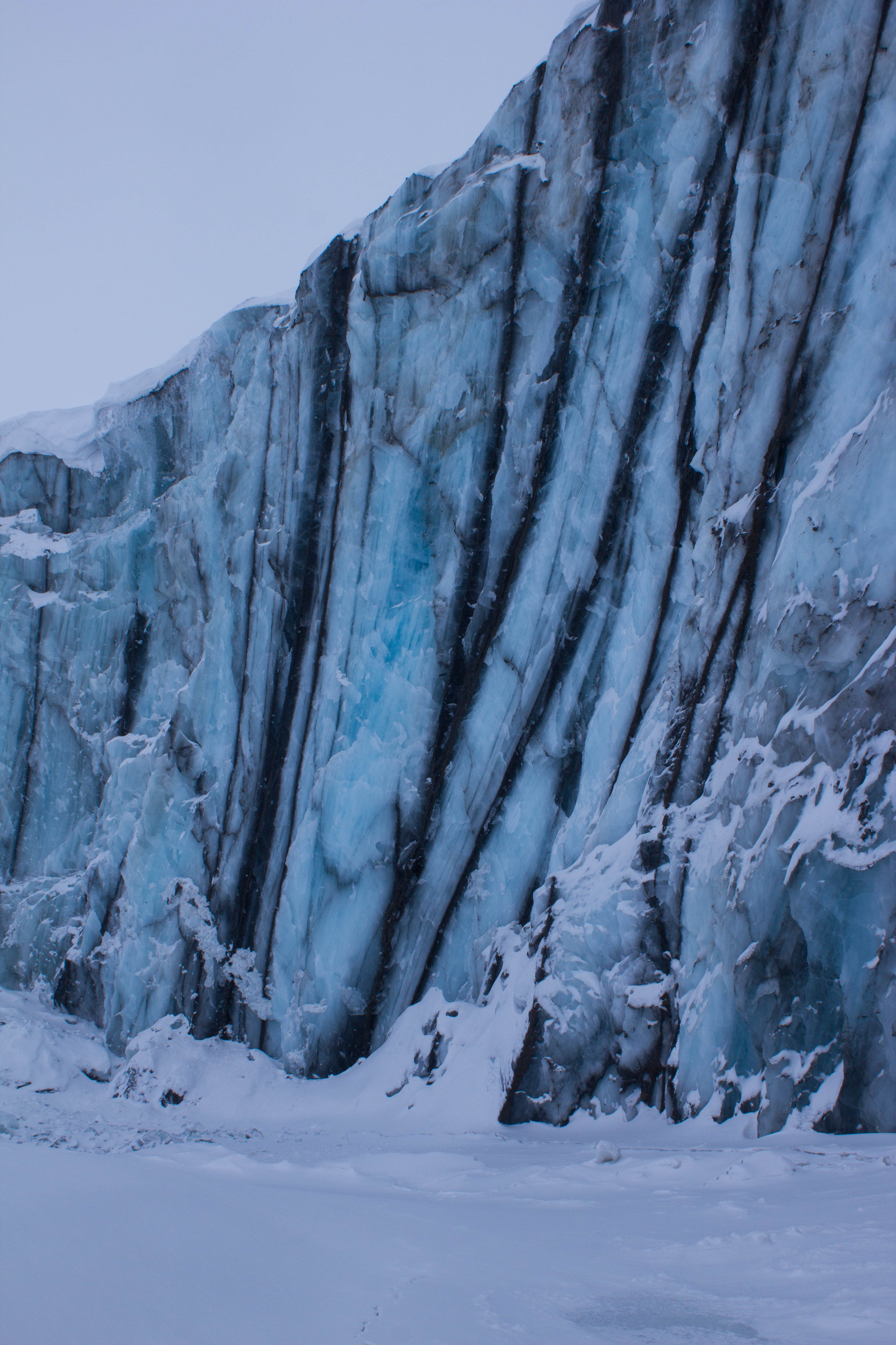
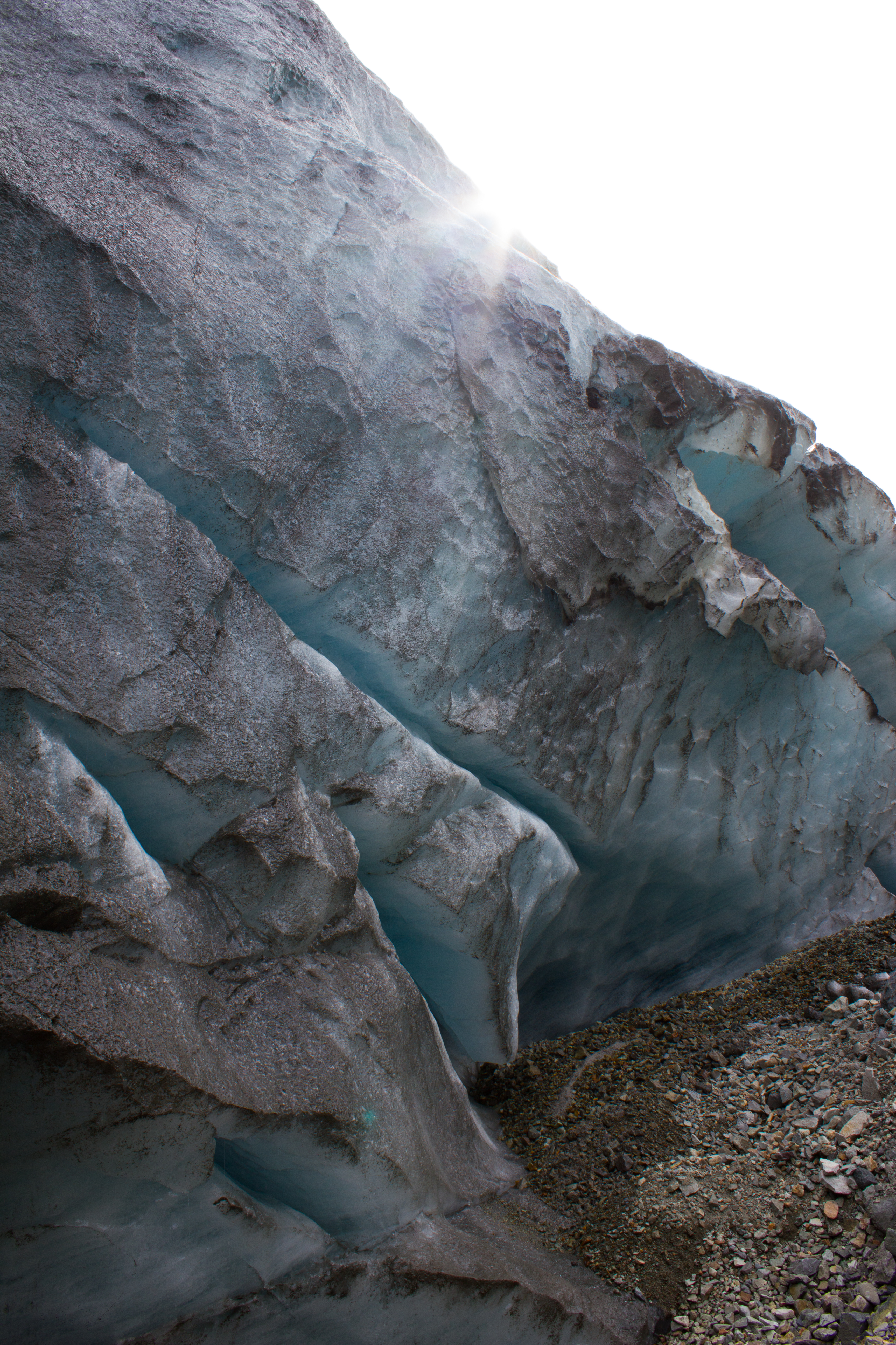
Examining the internal layering and structure of the ice on Larsbreen.
The network of tunnels visible here are formed by the movement of air bubbles in between ice crystals as freezing takes place.
A ship frozen in the sea ice, on the way to Tunabreen
Arriving at the calving front of Tunabreen. Calving is the processes by which chunks of ice break off at the end or ‘terminus’ of a glacier, forming icebergs. We were there during winter, when the sea was frozen. The sea ice acts as a temporary barrier to the glacier, slowing its forward movement, and preventing calving.
Tunabreen is a surge type glacier, meaning that its rate of flow or speed is not constant. Instead, the glacier may move very slowly or remain still for several years, before going through a period of faster flow, known as a surge.
A glacier prayer
Departing Tunabreen
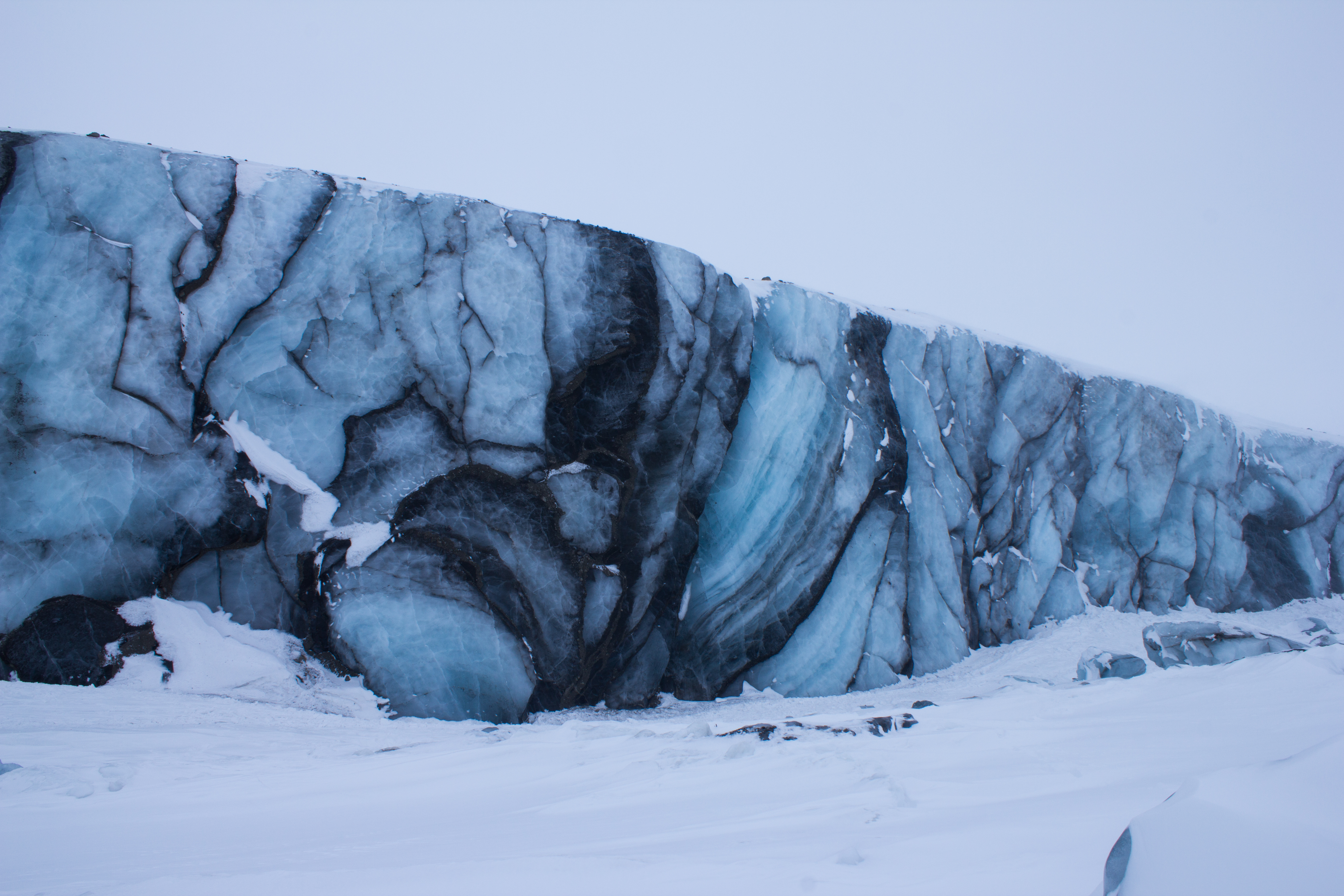
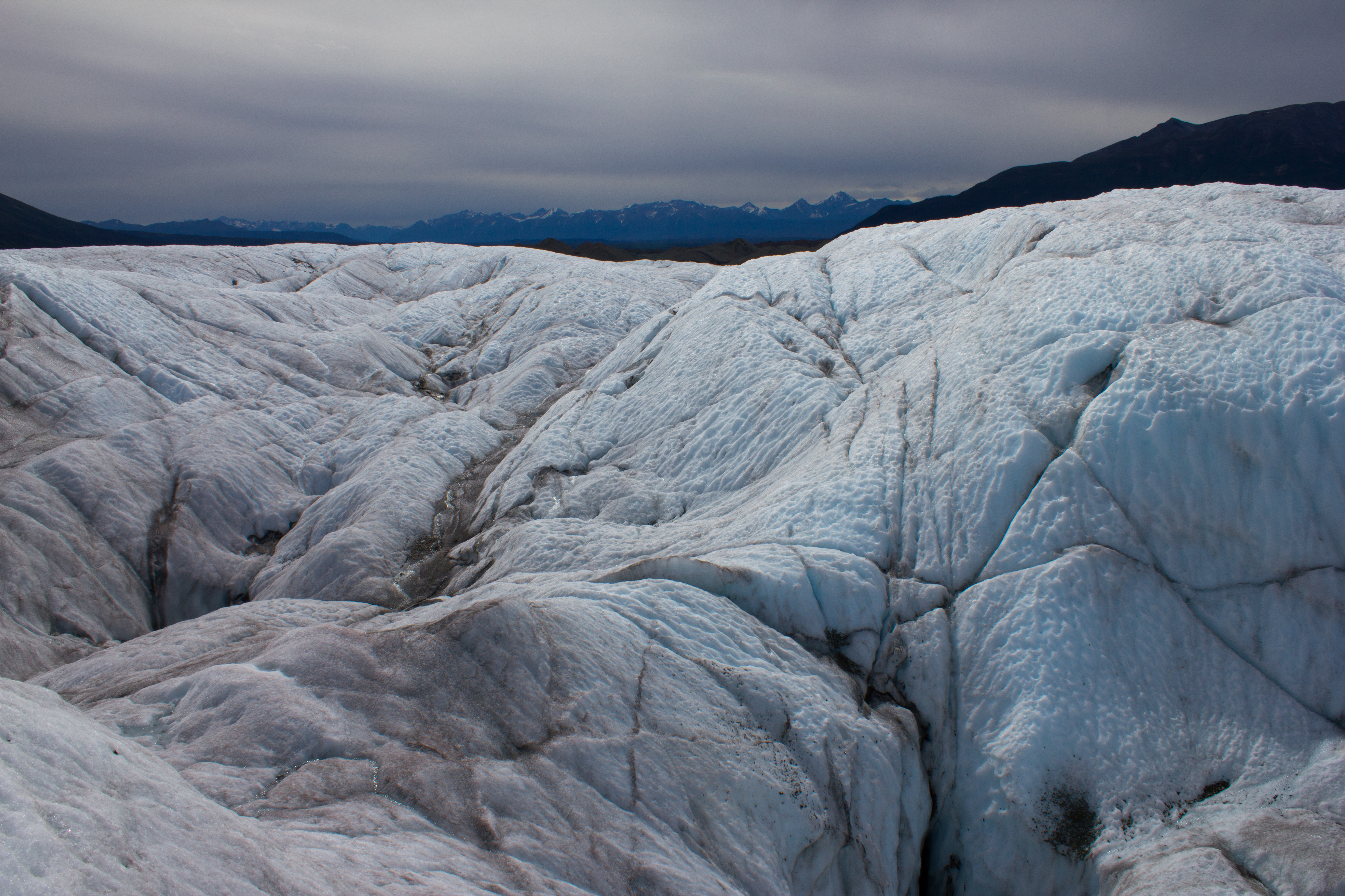
Surge front of Paulabreen
The dark banding visible at the front of Paulabreen is evidence of its surging past. When the glacier was flowing more rapidly, large crevasses (cracks) opened up at the surface and spread downwards. Debris and dust fell into these cracks, and when the crevasses closed again as the glacier flow changed, dark vertical bands of debris mark their former location.
Better to light a candle: an arctic storm led to a power cut on the night before the final exam, leading to some creative lighting.
Morning view after an overnight snow storm
One last venture into the mountains before leaving the Arctic.
Summit ridge of Trollsteinen
Parting gift from Svalbard: dancing aurora on the flight south to Oslo
Glaciology PhDs: amazing experiences, zero glamour. Overnighting at Oslo Airport.
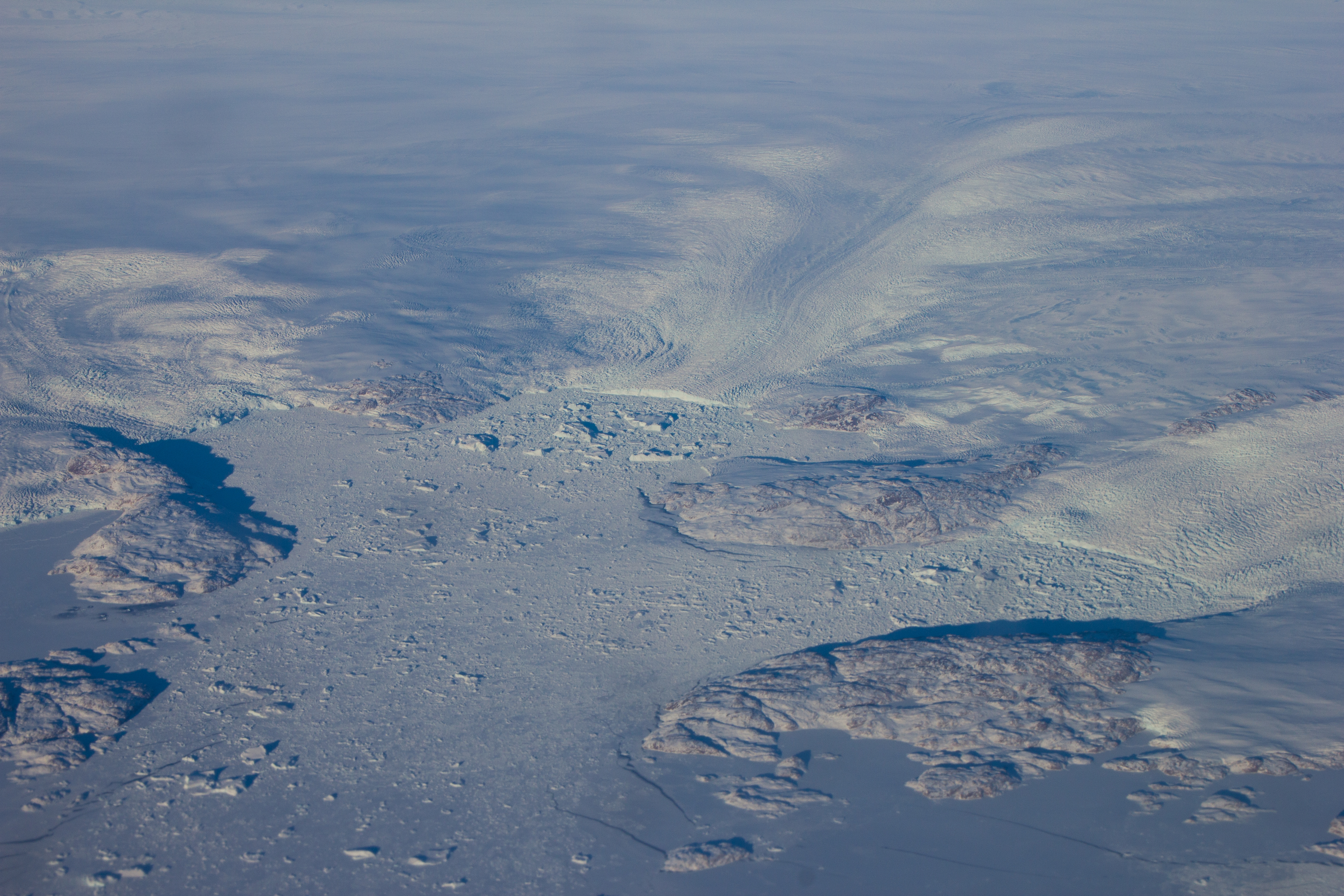
Flying over the enormous glaciers on the west coast of Greenland on my way back to Vancouver, and getting re-inspired for the next adventure.
Some shots from a landscape that I hope we can continue to be inspired by. Click on the images to see them in high resolution. They still won’t do the place justice, but it’s a start.
The Sun has been absent since I’ve arrived here in Longyearbyen. The islands are deep inside the Arctic Circle; the line of latitude north of which it is possible to have 24 hour nights in winter. But Spring is fast approaching.
When a ray of sunlight was spotted hitting the mountain tops on the other side of the fjord, it was decided that a group of us would aim to get as much elevation as possible over the weekend, and try to catch some elusive light. Temperatures would remain well below -20°C over the two days, so warm clothes and moving fast would be essential.
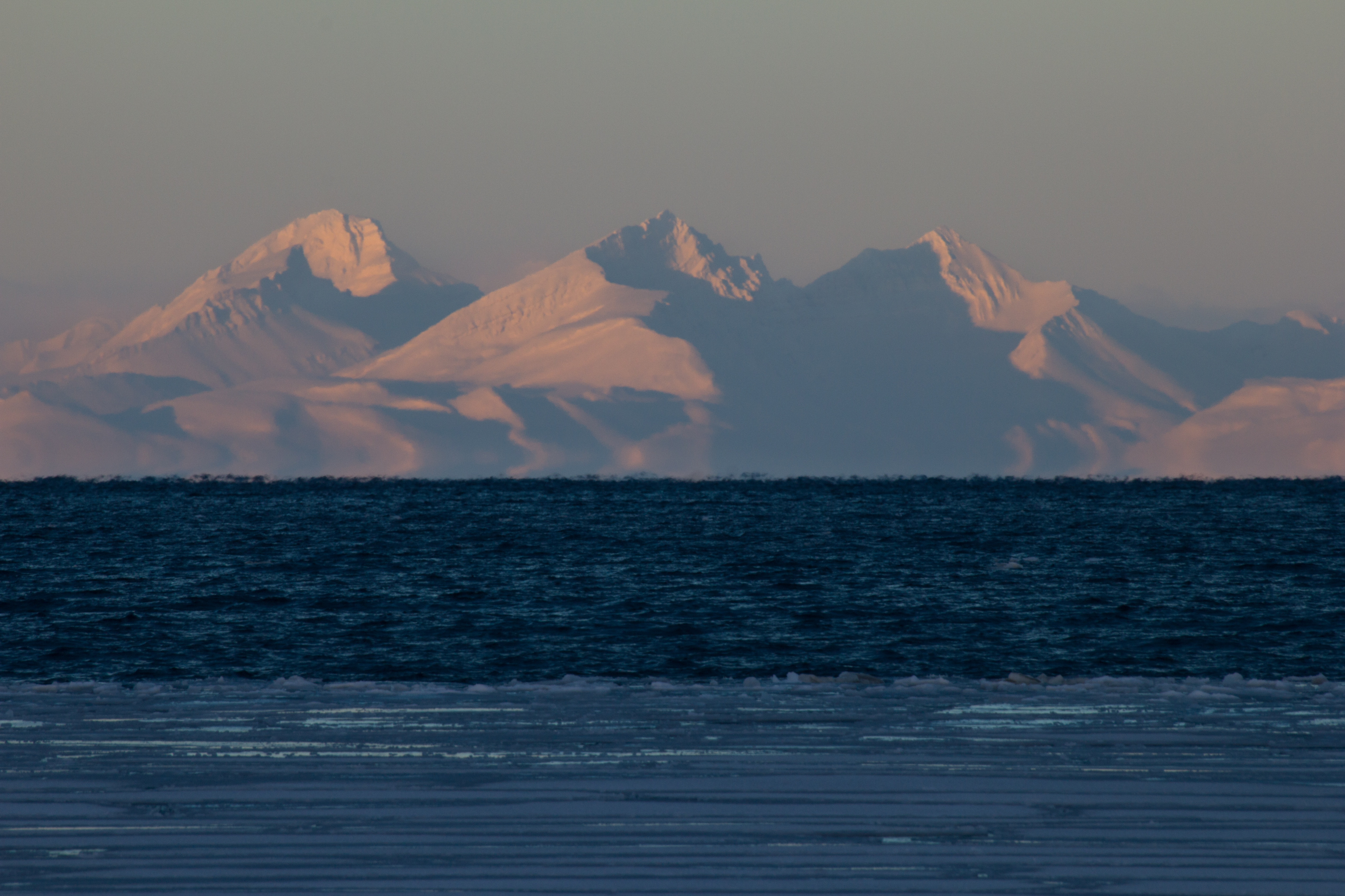
Saturday morning saw us hiking up to Sverdruphamaren; an elevated plateau to the west of Longyearbyen. There is a real sense of wilderness here, and the view is an expanse of white peaks, sea ice, and reindeer. The sun however, remained just below the higher mountains to the south.
Setting out from Longyearbyen on Saturday morning
Ice mascara
The Svalbard Cold Feet Dance
Some opted just to get their feet off the ground altogether.
Chasing the sun across Svalbard’s wilderness
Returning back across the plateau after a cold but beautiful day
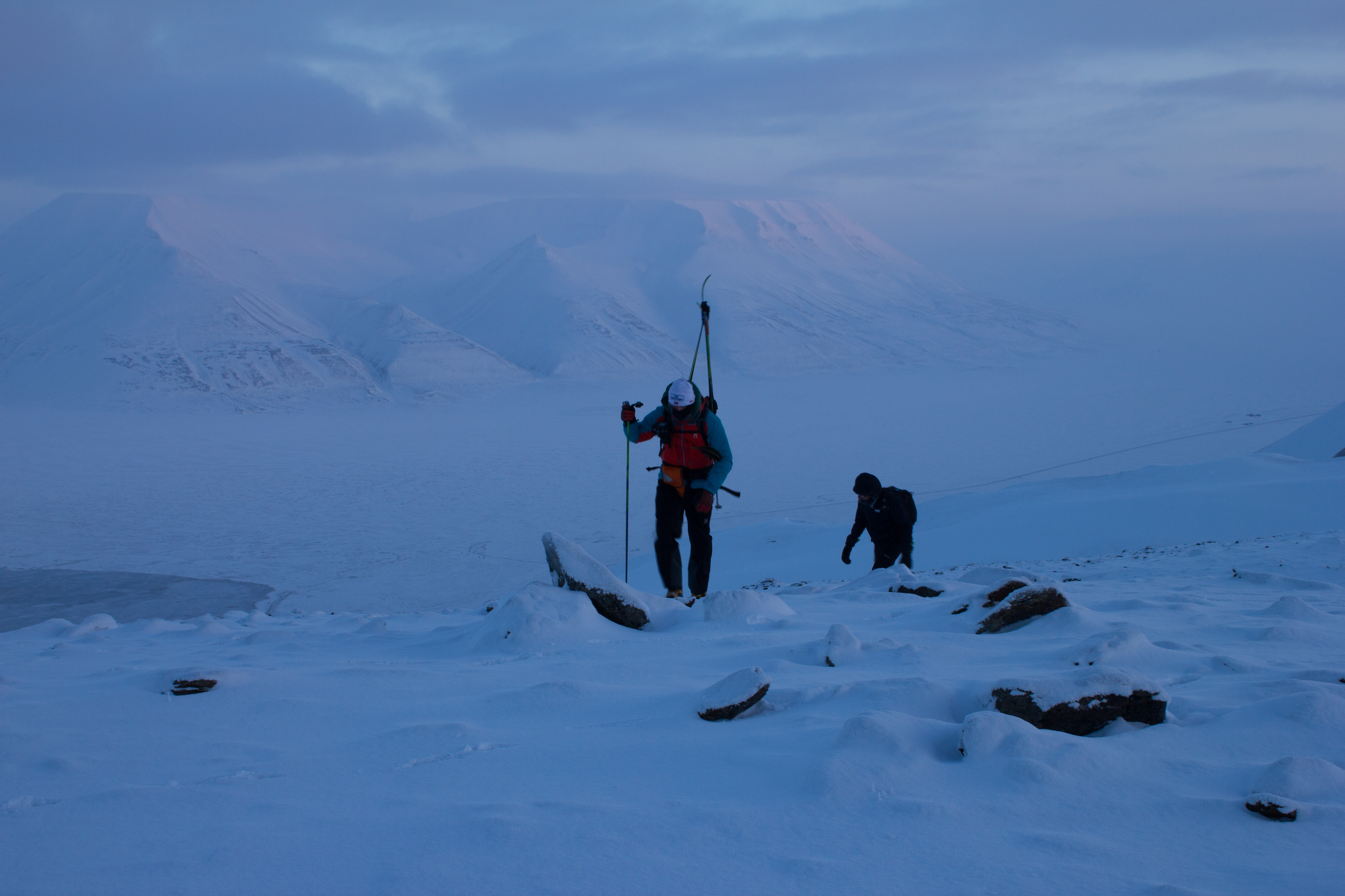
On Sunday morning, we aimed higher, and set out for Trollsteinen; the peak behind which the Sun had hidden from us the previous day. With temperatures at sea level forecast to be around -30°C, we knew we were in for a cold summit. Our route would bring us south of Longyearbyen, up the glacier of Larsbreen, before ascending onto the main ridge of the mountain. The winds were calm, and the skies were perfectly clear, promising excellent views, and potentially some vitamin D.
Heading south, with Longyearbyen in the distance
Lone hiker on Larsbreen
Beginning to ascend towards the ridge
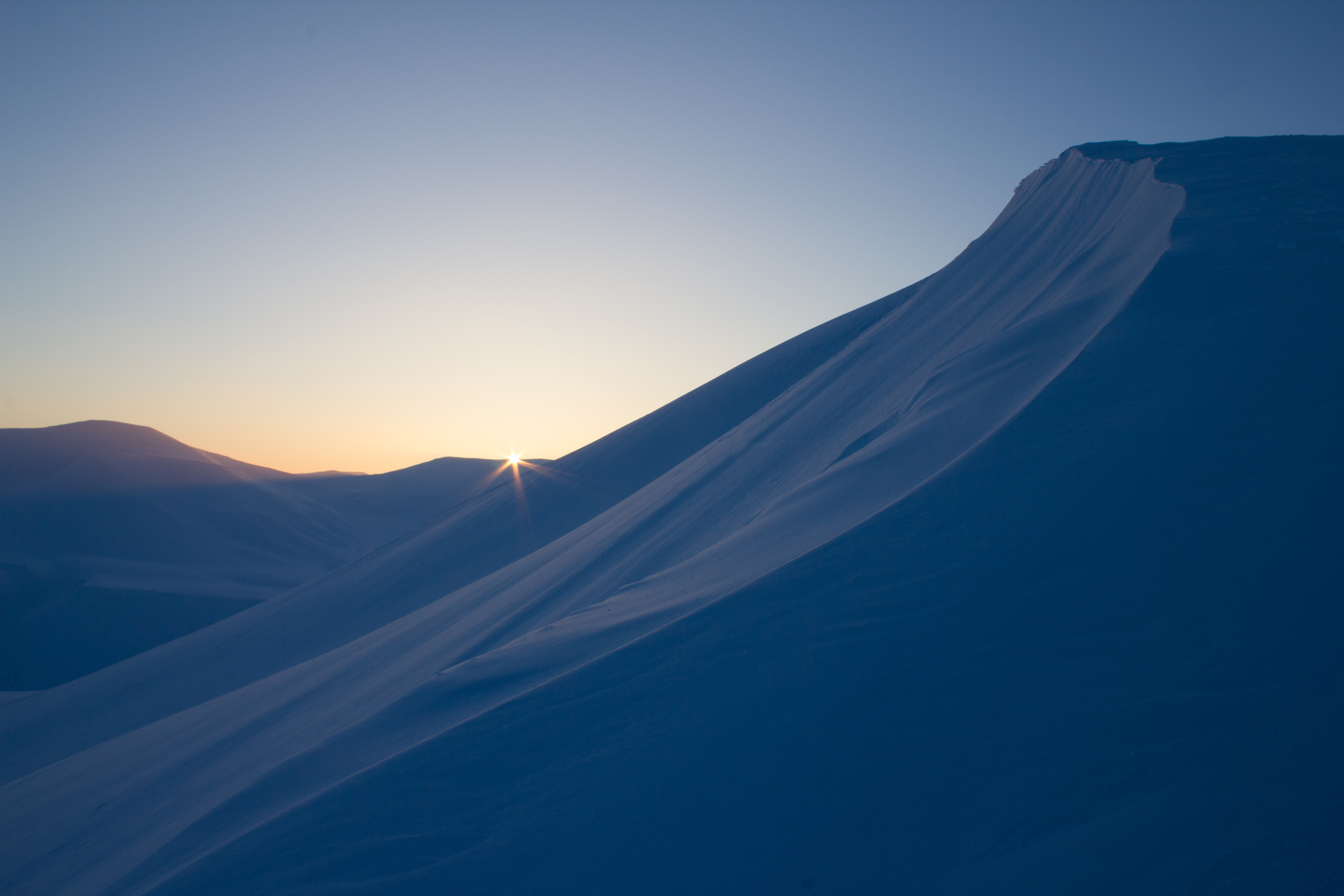
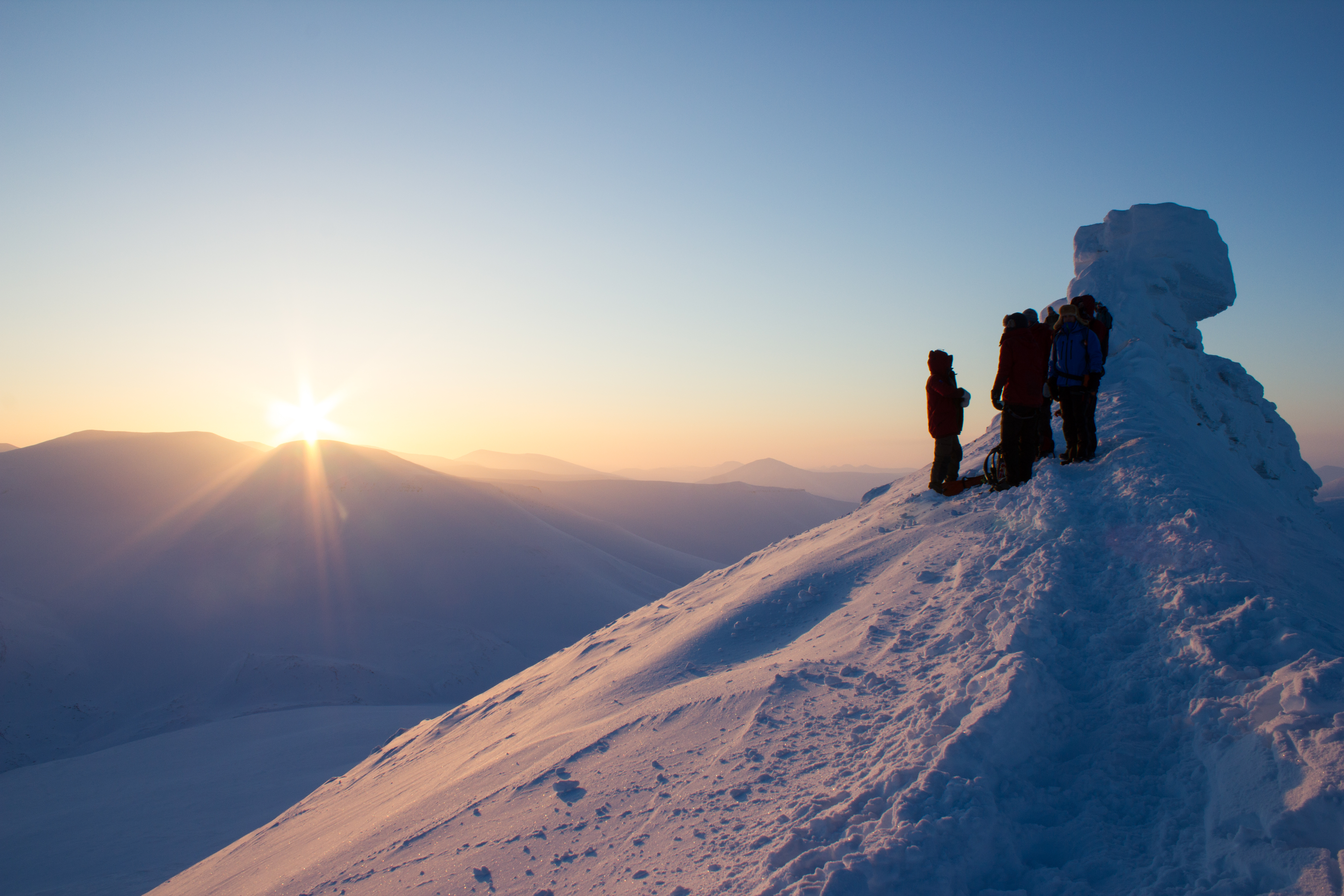
The Sun! The end of polar night, as viewed from the main ridge of Trollsteinen
The Sun is literally days away from reappearing here in the valley, and the community of Longyearbyen will mark its return this weekend with a festival in its honour. It’s certainly something worth celebrating, but I’ll still be happy to experience a few more Svalbard nights.
The Earth has approximately 170,000 glaciers, located in a range of environments from Alaska to Argentina, Nepal to New Zealand. Almost all of them are shrinking.
The measure of the growth or shrinkage of a glacier is known as its mass balance, and this was the area of focus during my first week here in Svalbard. As part of the glaciology program I’m involved in, we traveled to one of the local glaciers to examine the layers of snow on its surface, and to hopefully explore some of its inner workings. Named (somewhat ironically) after a local coal mining manager in the early 1900’s, Scott Turnerbreen is located in a valley to the south east of Longyearbyen.
En route to the Scott Turnerbreen glacier
Glaciers are formed where snow is able to build up over time, and gradually get squeezed or compressed into ice by the weight of the snow on top. The growth of a glacier is essentially a balance between how much goes in i.e. snow, and how much goes out i.e. melting. If more snow and ice is added to a glacier than is melted, the glacier grows; if more ice melts than is replaced by snow, the glacier shrinks. Think of it as a bank account; lodge more money than you withdraw, and your account grows, and vice versa. Warmer climate conditions have increased melt rates on glaciers, removing ice faster than it can be replaced by snowfall.
Digging a snowpit to examine the layers of snow
Measuring the density of the snowpack
We built the deluxe snowpit model, including a lunch seat.
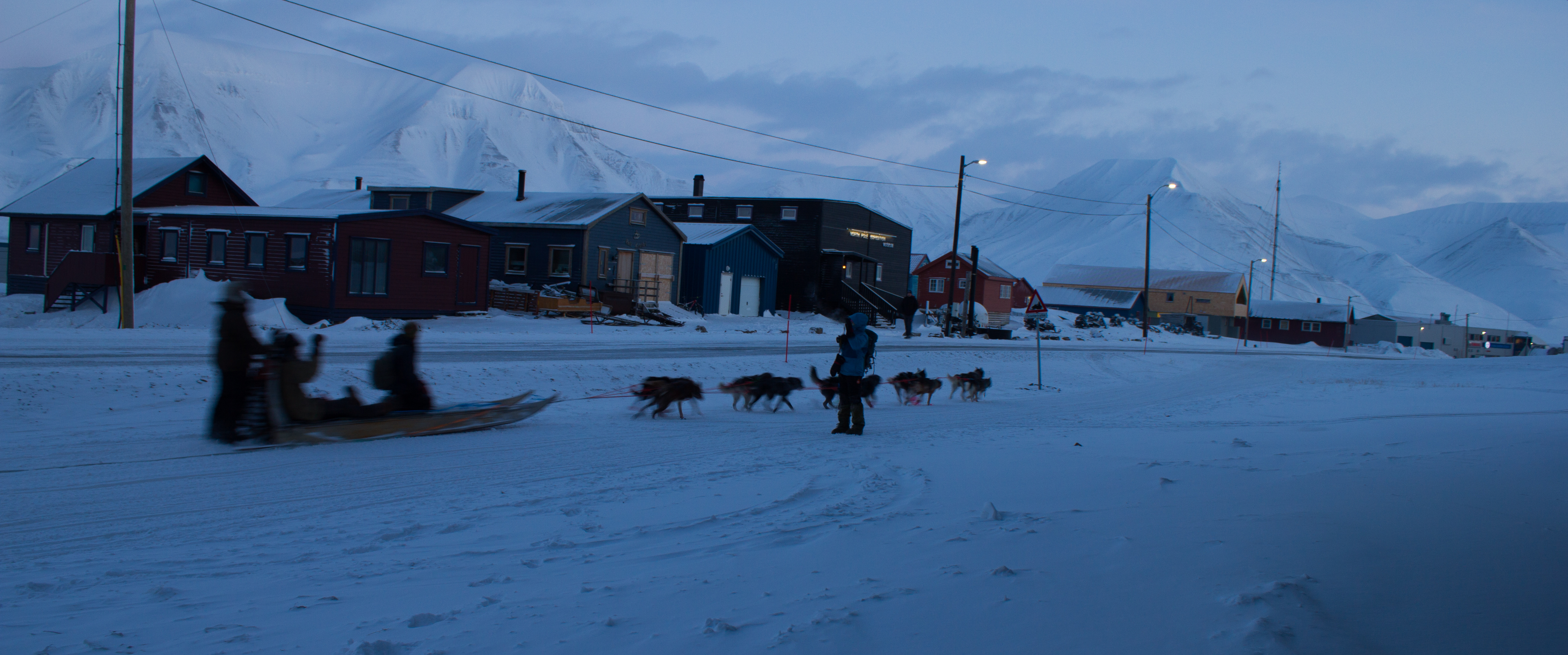
On Scott Turnerbreen, we carried out a number of surveys of the snowpack. Firstly, we used snow probes (basically long tubular measuring sticks) to determine the depth and pattern of snow accumulation over the surface. We then dug a series of snowpits to examine the thickness and density of layers in the snow, and to look for evidence of a recent ‘warm’ weather spell. That was, of course, until getting completely distracted by a passing group of dog sleds. When in the Arctic.
Approaching dog teams
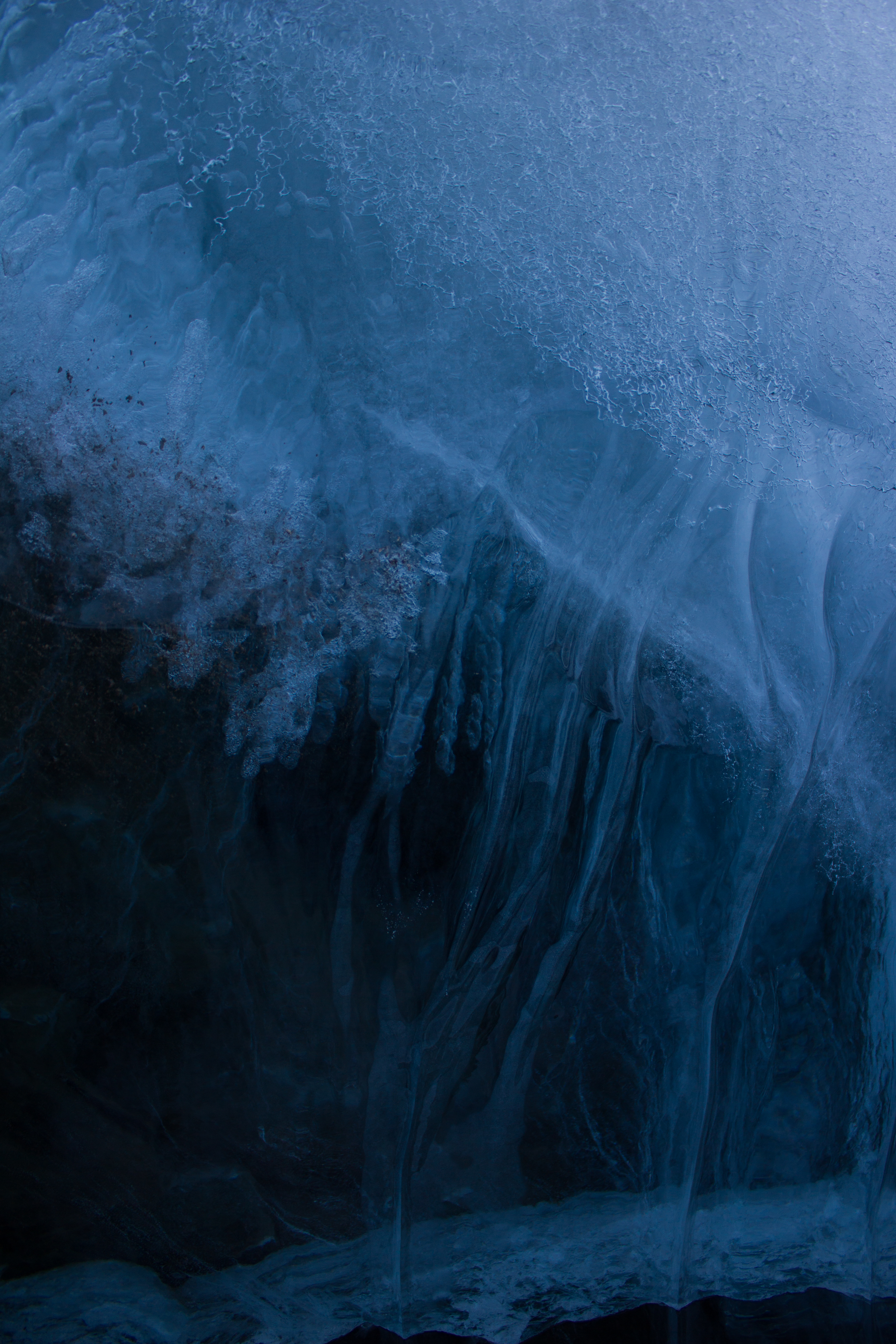
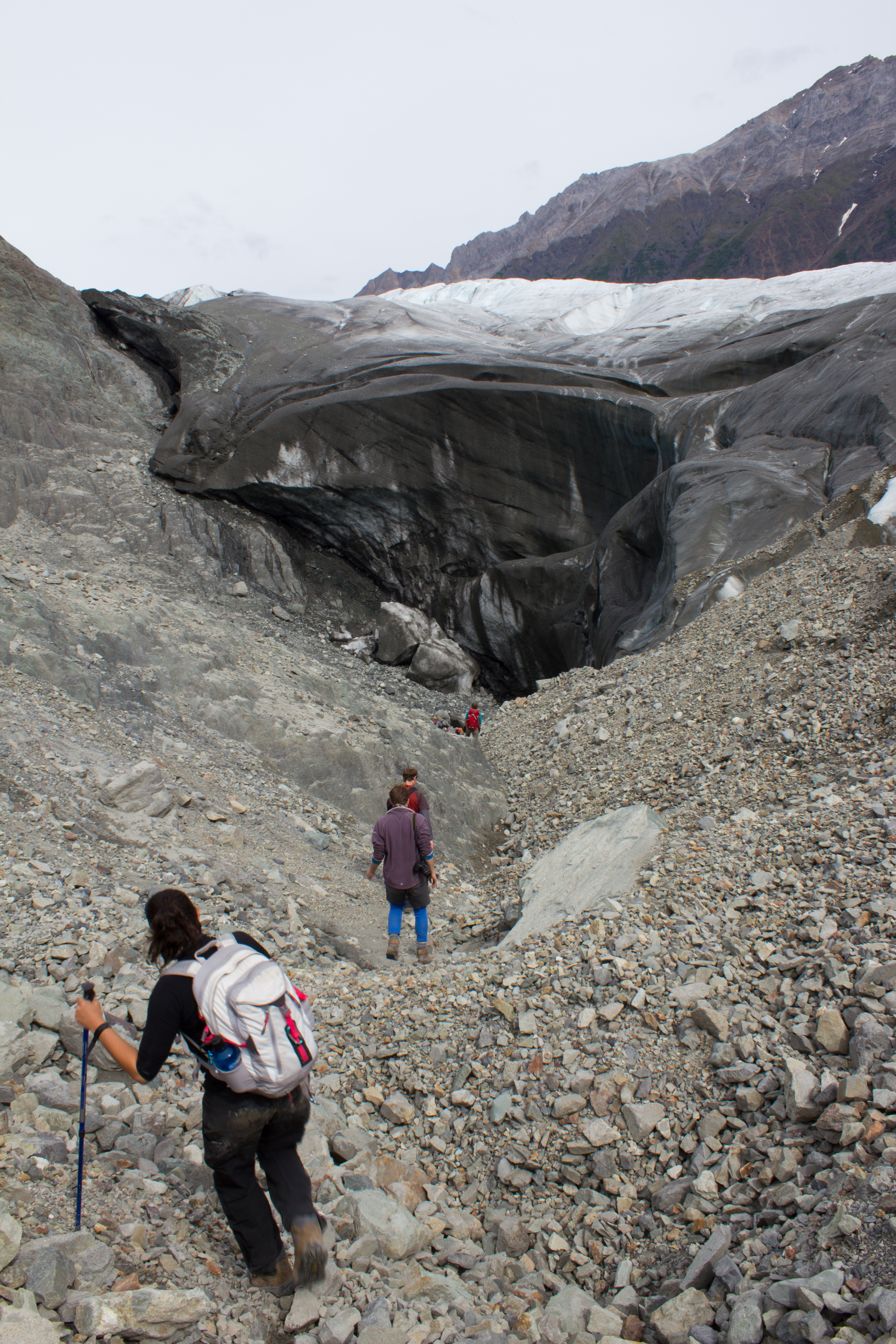
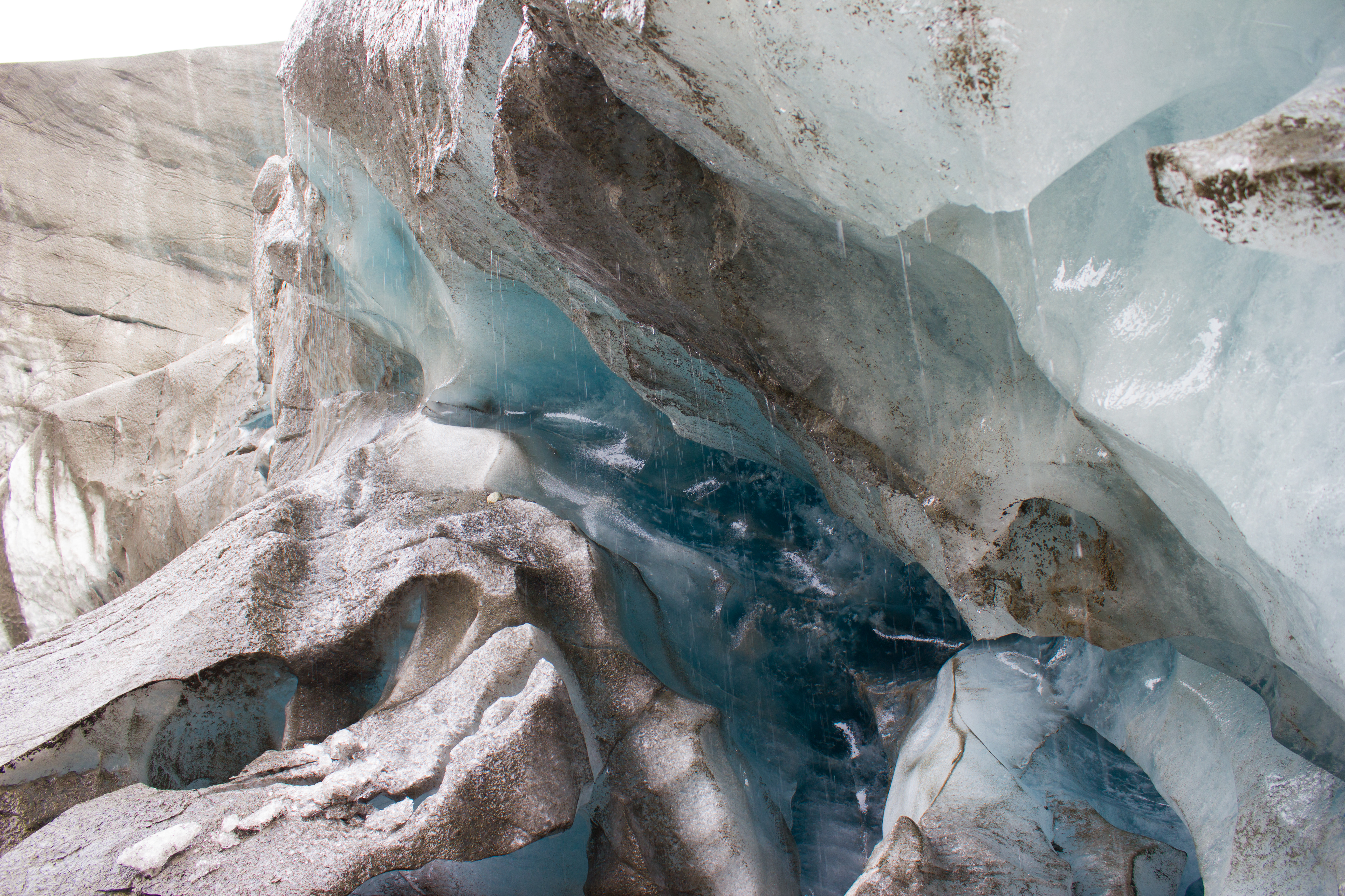
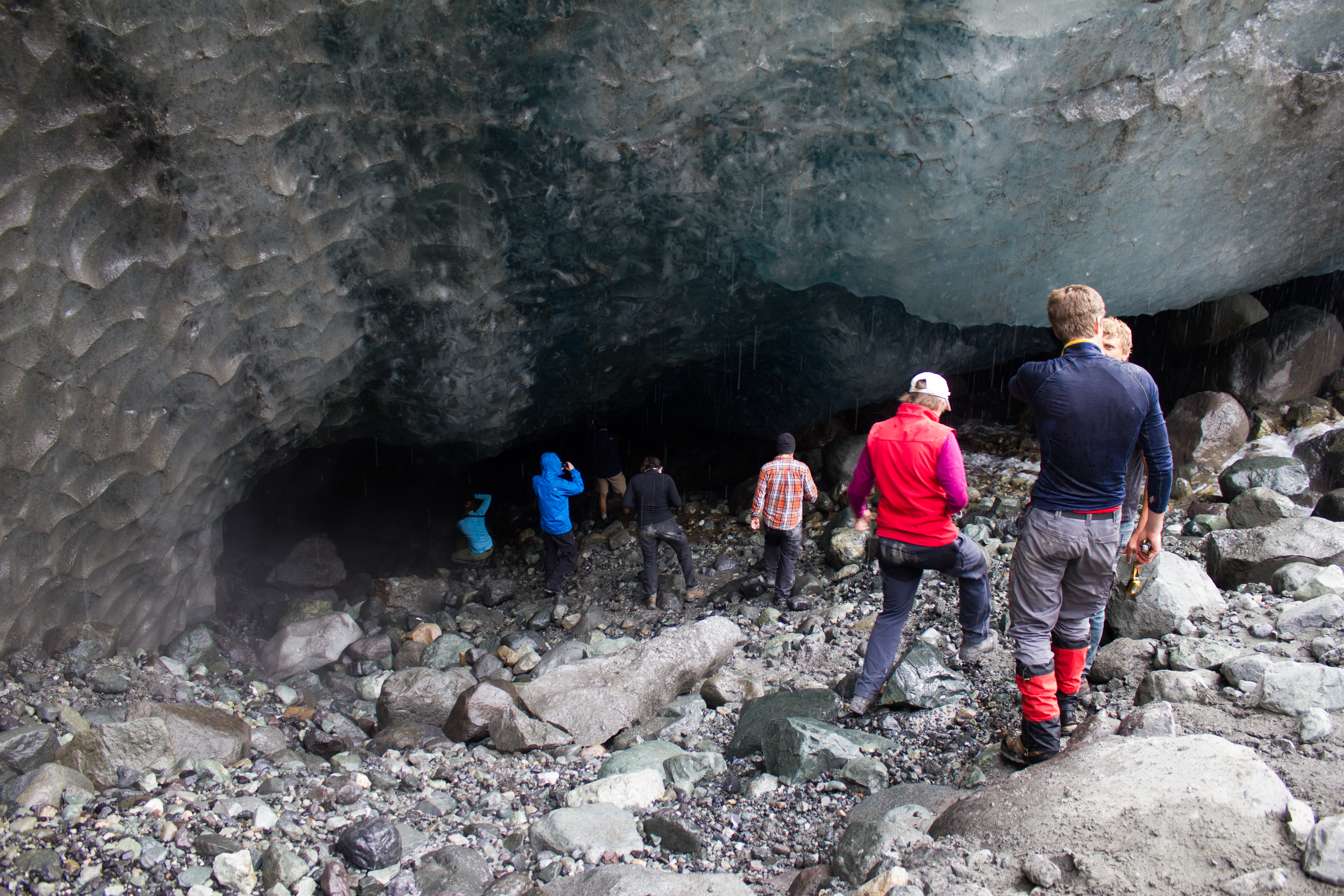
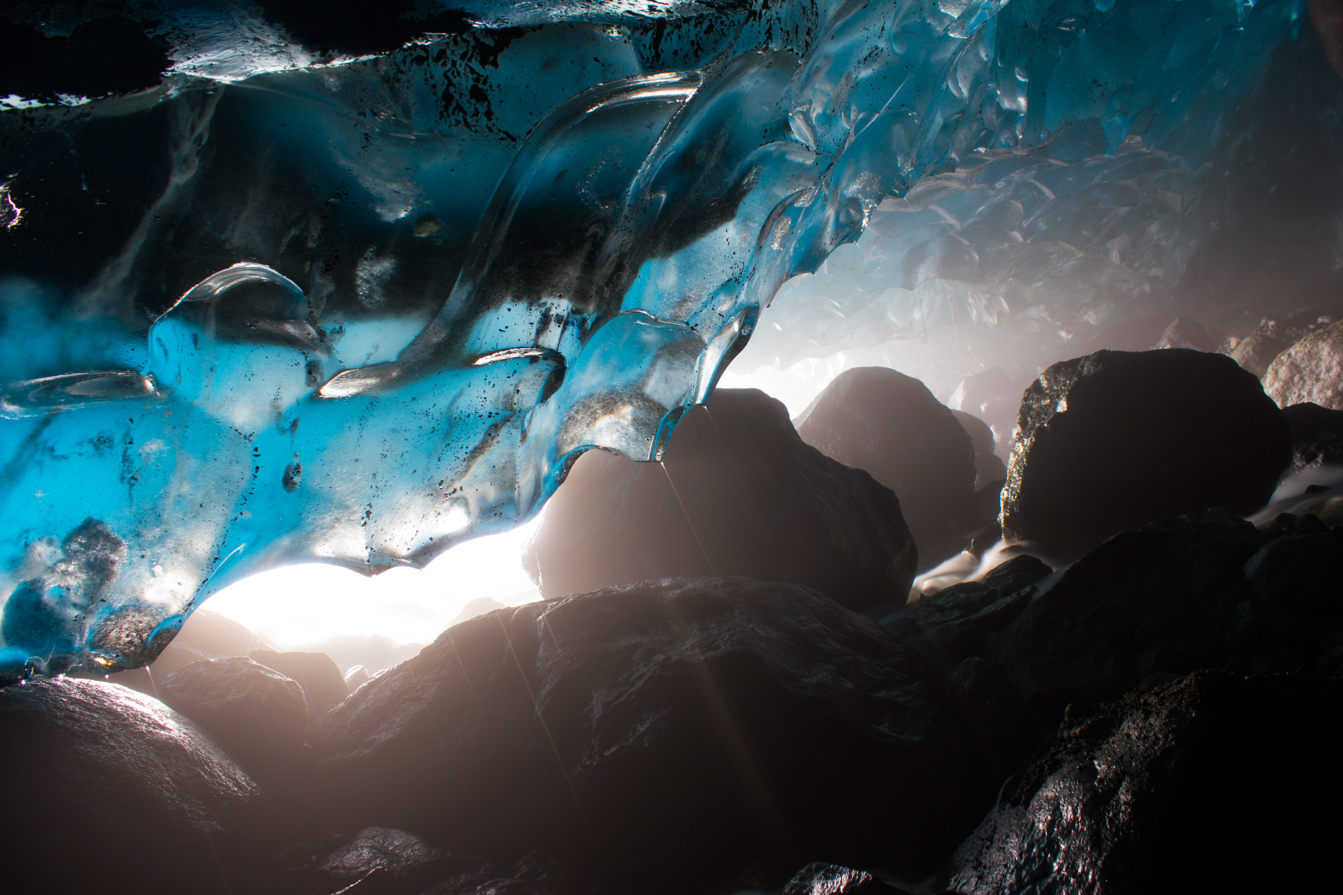
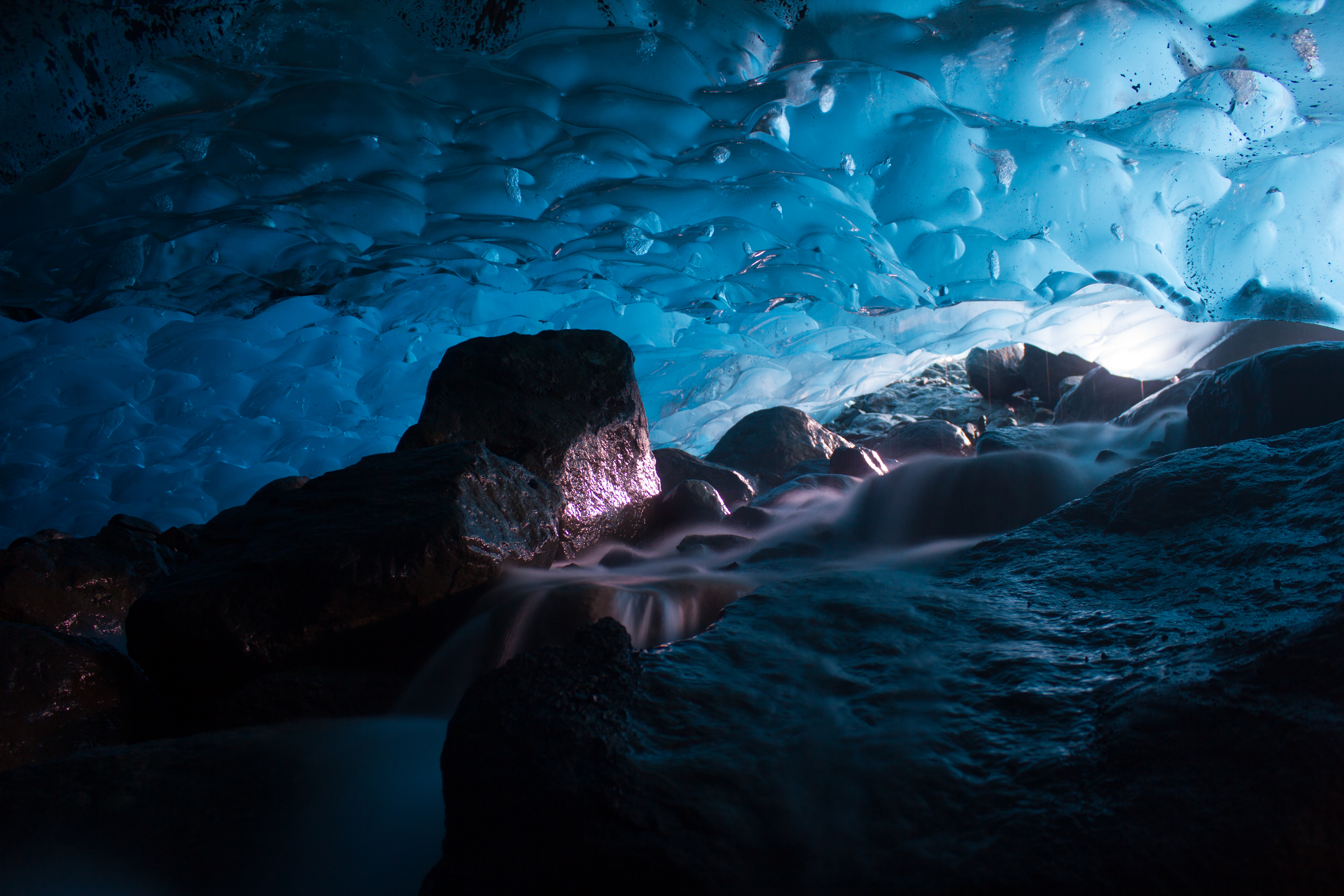
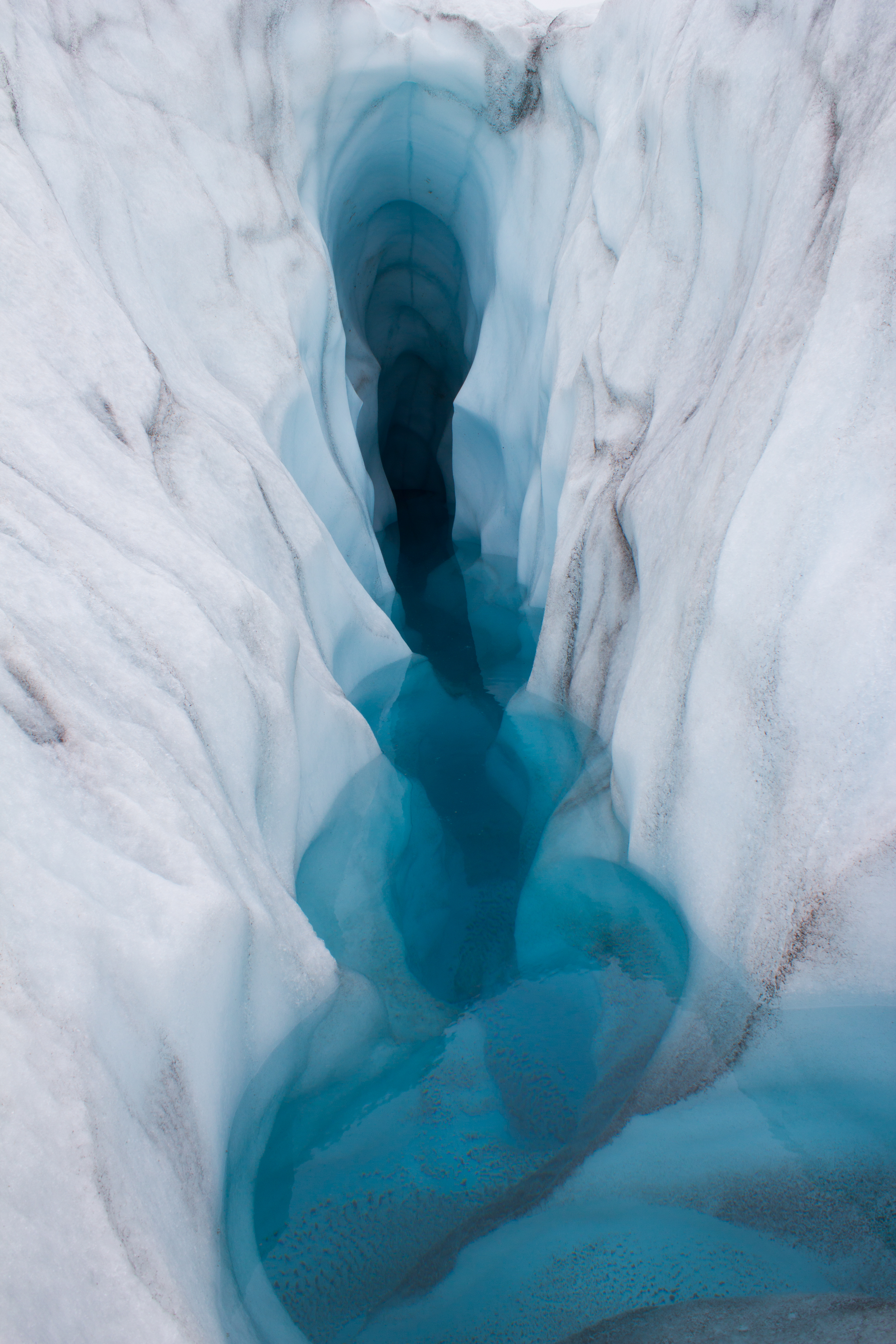
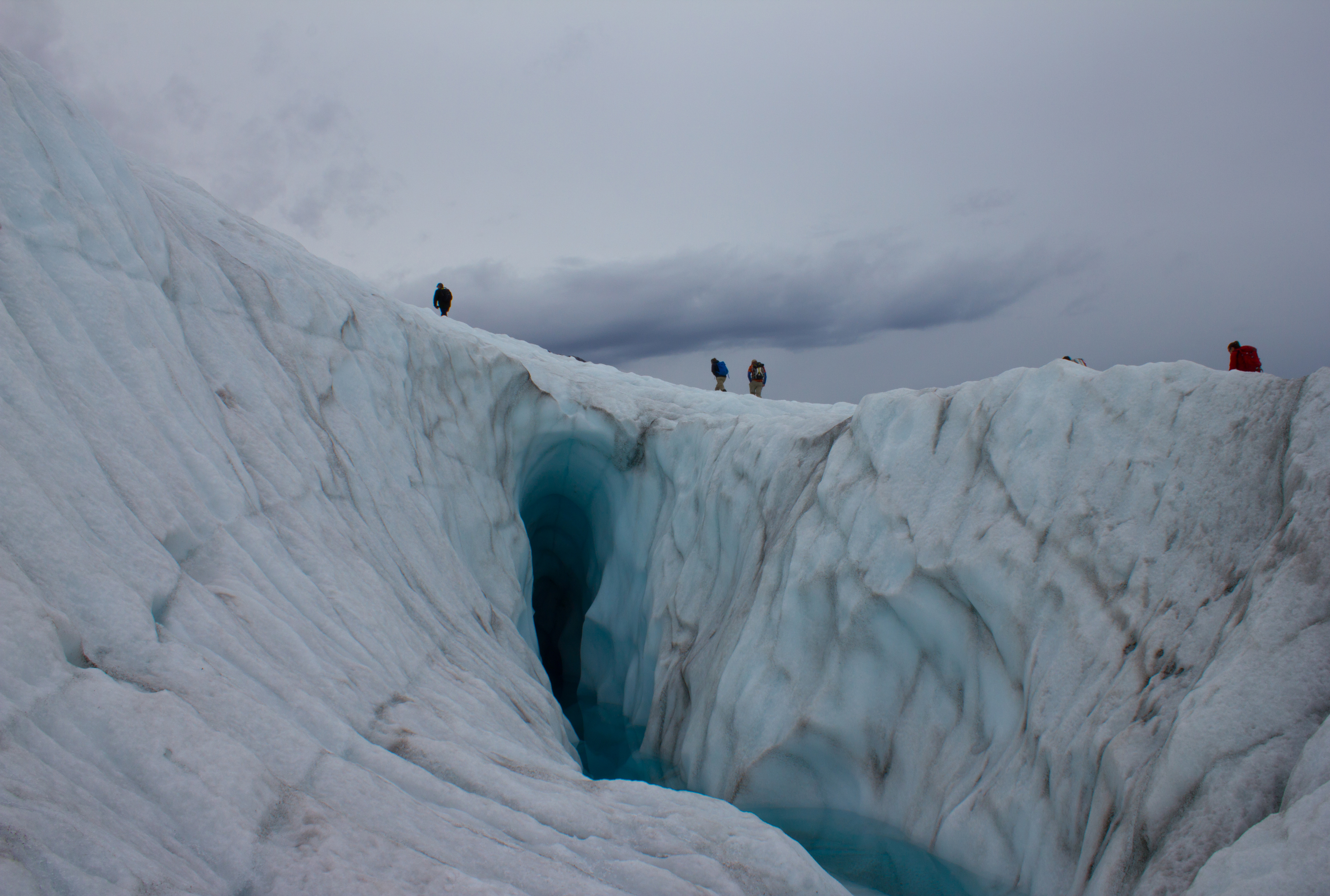
Our attention then turned from the surface of the glacier to deeper into its core. In order to gain access to the inner glacier, we descended down through a presently dry meltwater channel. Like a scene from a Jules Verne novel, we traveled through a subsurface tunnel of ice with incredible formations and patterns. This was a brief visit, but I’m hoping to return to these passages while I’m here, and spend a little time to get some images that do them justice.
Tunnel to the inside of a glacier
Traveling through a meltwater channel inside the glacier
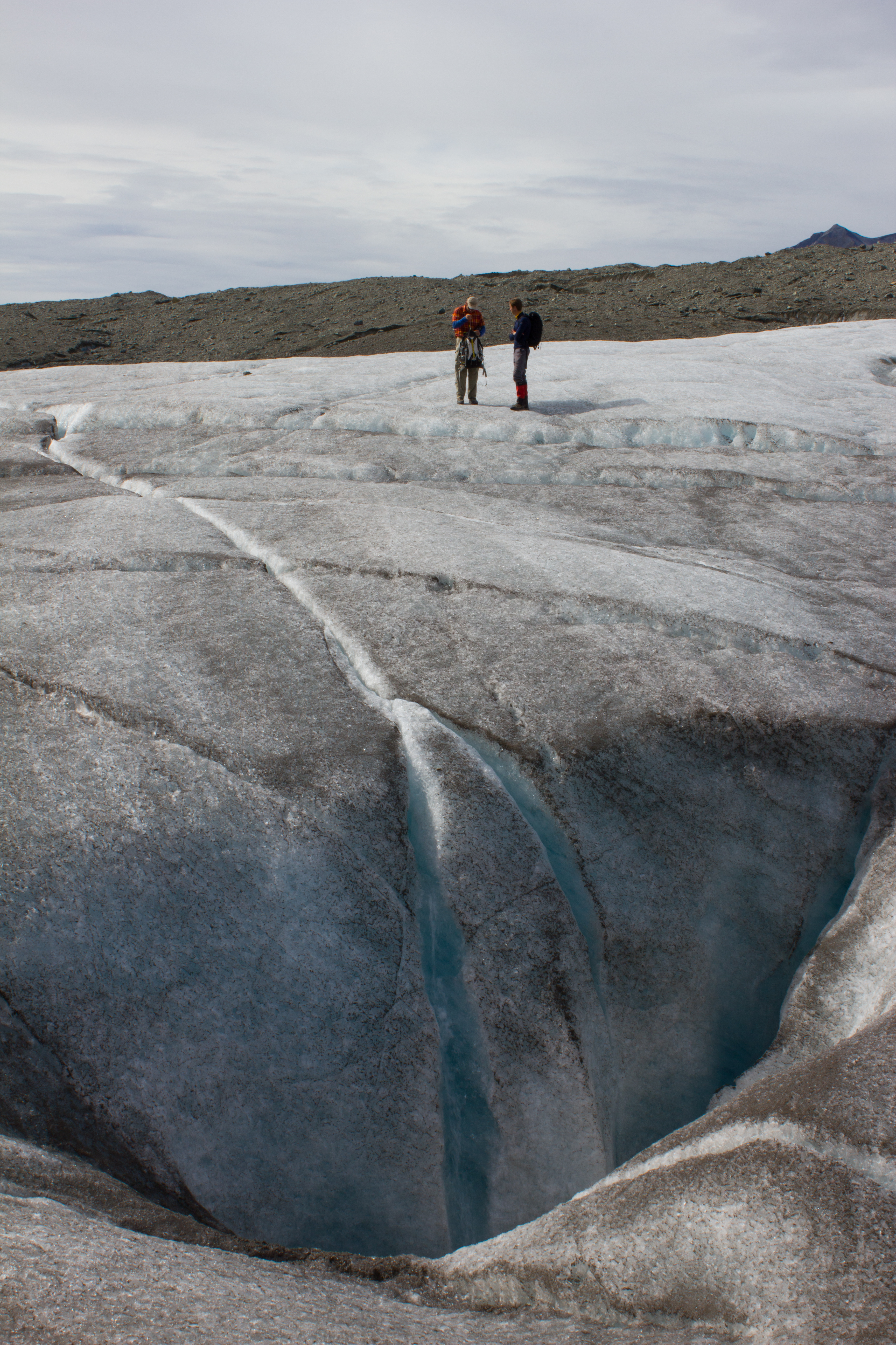
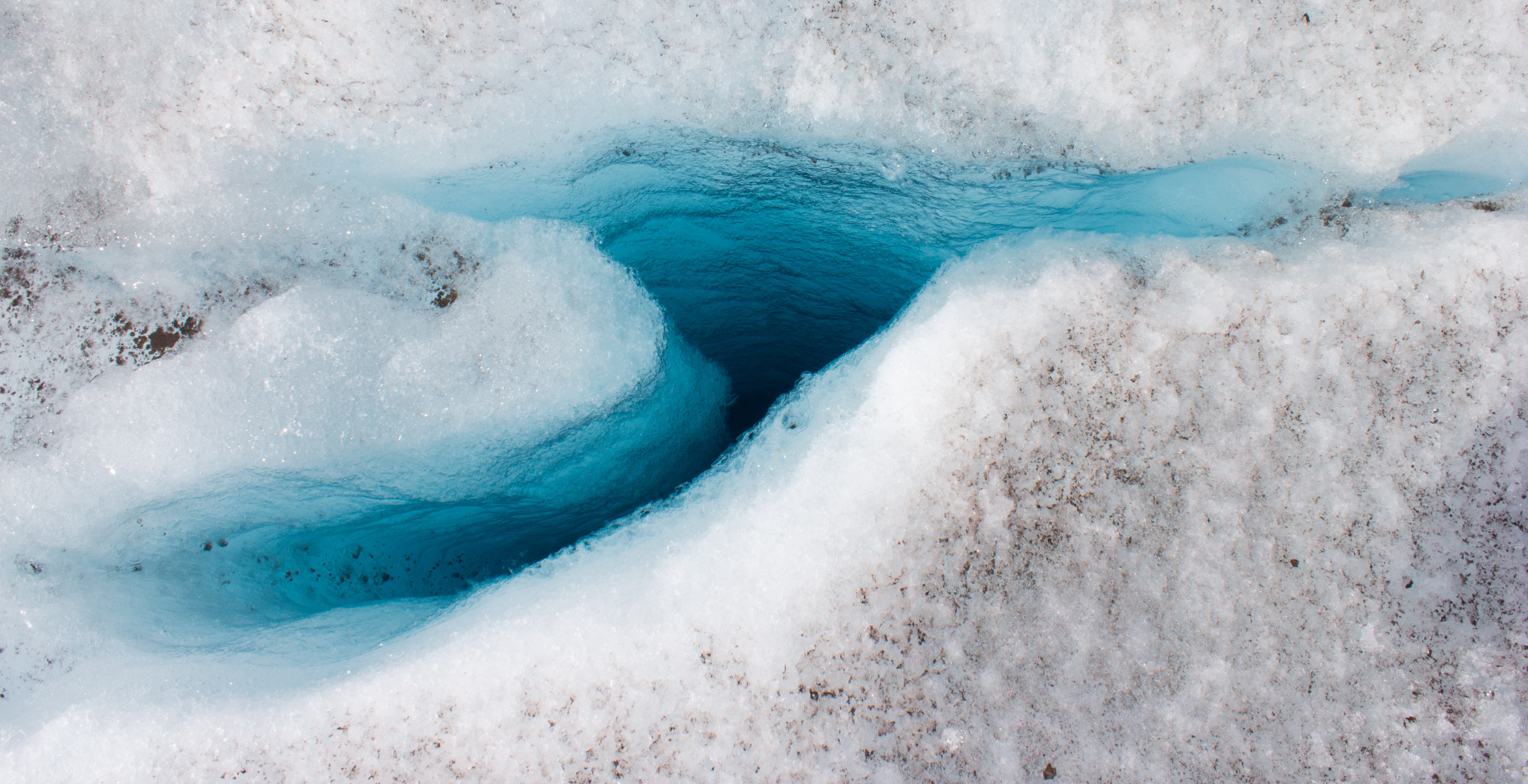
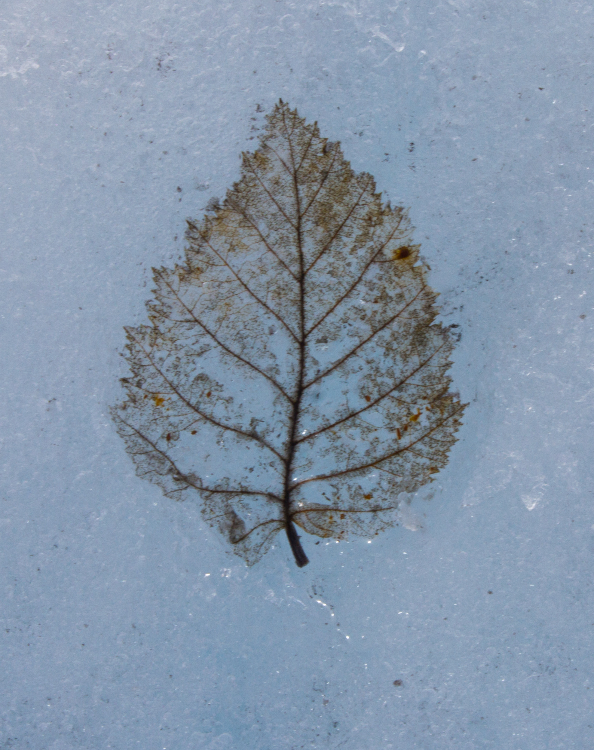
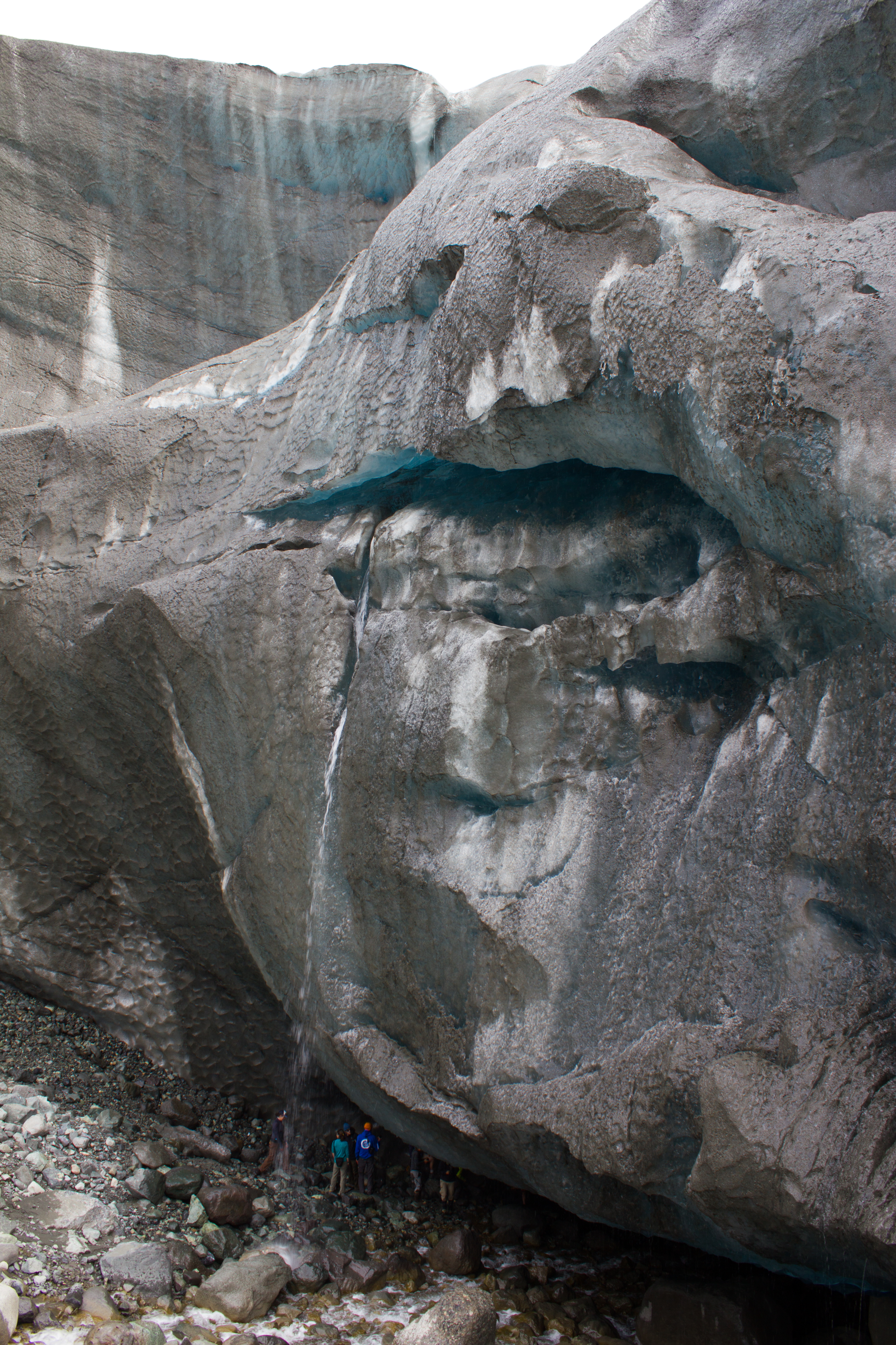
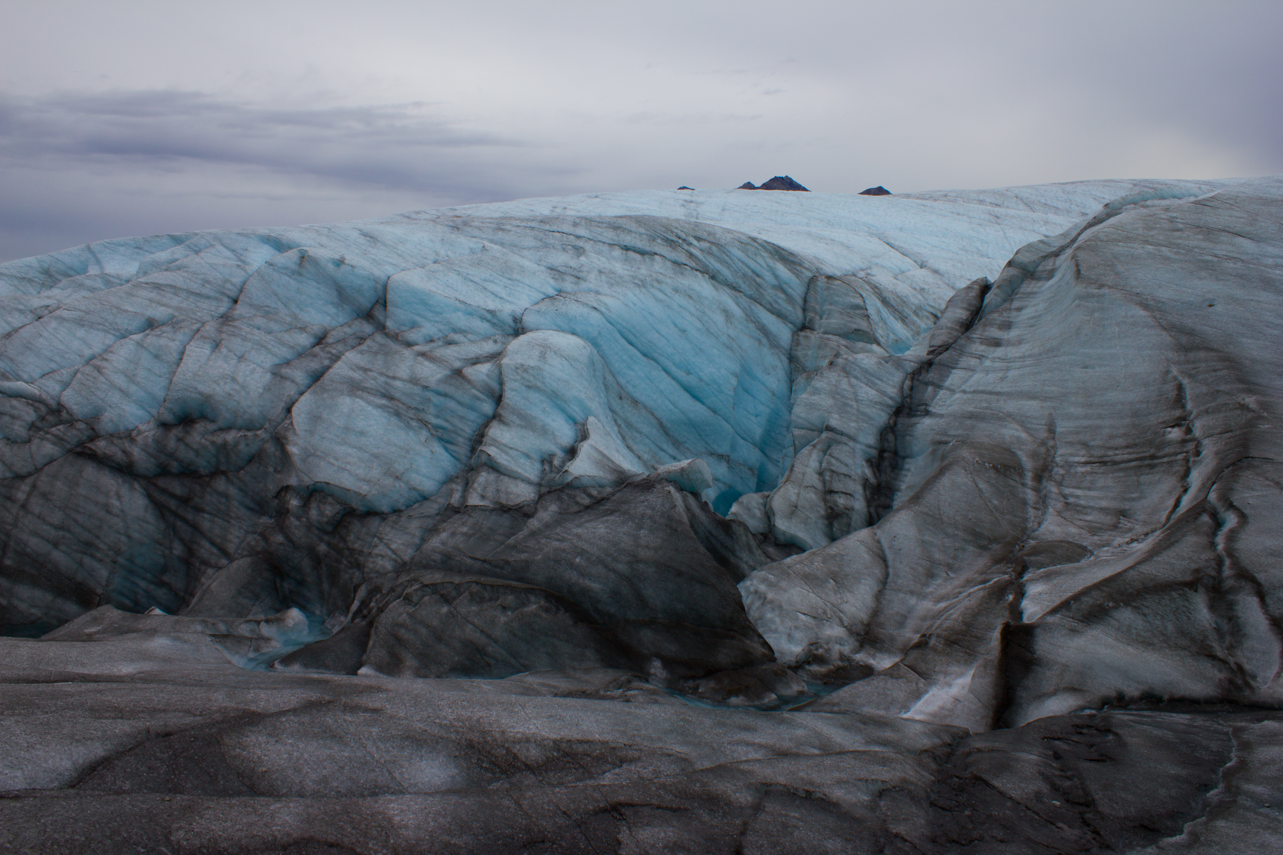
Crevasses or cracks on the glacier surface can collect dust or sediment. The dark coloured bands in this image may represent old crevasses which have closed and been buried deeper into the glacier, leaving behind a layer of dust in the ice.
In the heart of a glacier
Up next: Exploring the surrounding mountains in the search for sun.
It’s a matter of latitude. 78° 13′ N; approximately twelve degrees, or 1,334 kilometers north of the Arctic circle. This is the realm of twenty four hour nights and days, of the Aurora Borealis, of polar bears, of windswept landscapes of snow, sea ice, mountains, and glaciers. It’s a part of the world I’ve wanted to experience since I was a kid, and it’s the place I’m going to for the next six weeks.
My destination is Svalbard; an archipelago of islands in the Arctic Ocean. I’m taking part in a glaciology program run by the University Centre in Svalbard (UNIS), which is located in the regional capital of Longyearbyen. Sixty percent of Svalbard’s surface is covered by glaciers, making it an ideal location to study their processes.
The first leg of my journey takes me from Vancouver to Oslo, where I have an overnight stay before my flight to Longyearbyen. The stopover gives me a chance to join up with a friend who is also taking part in the glaciology program. I met the aptly named Aurora last summer in Alaska (see North to Alaska), and catching up over some much need food that night, we’re both equally excited about the trip ahead. The next morning, we soak up the last sunrise we’ll see for a few weeks, and board our flight to the Arctic.
Touchdown at Longyearbyen Airport, Svalbard.
Arriving in Longyearbyen just after 1pm, the usual bustle for hand luggage when the plane stops takes on a more practical air. Down jackets, balaclavas, and mittens are being pulled on before the exit door is opened. Stepping out into the blue semi-darkness, we are greeted by a biting wind that draws streams of fine snow across the tarmac. It’s already below -20°C, and I couldn’t be happier.
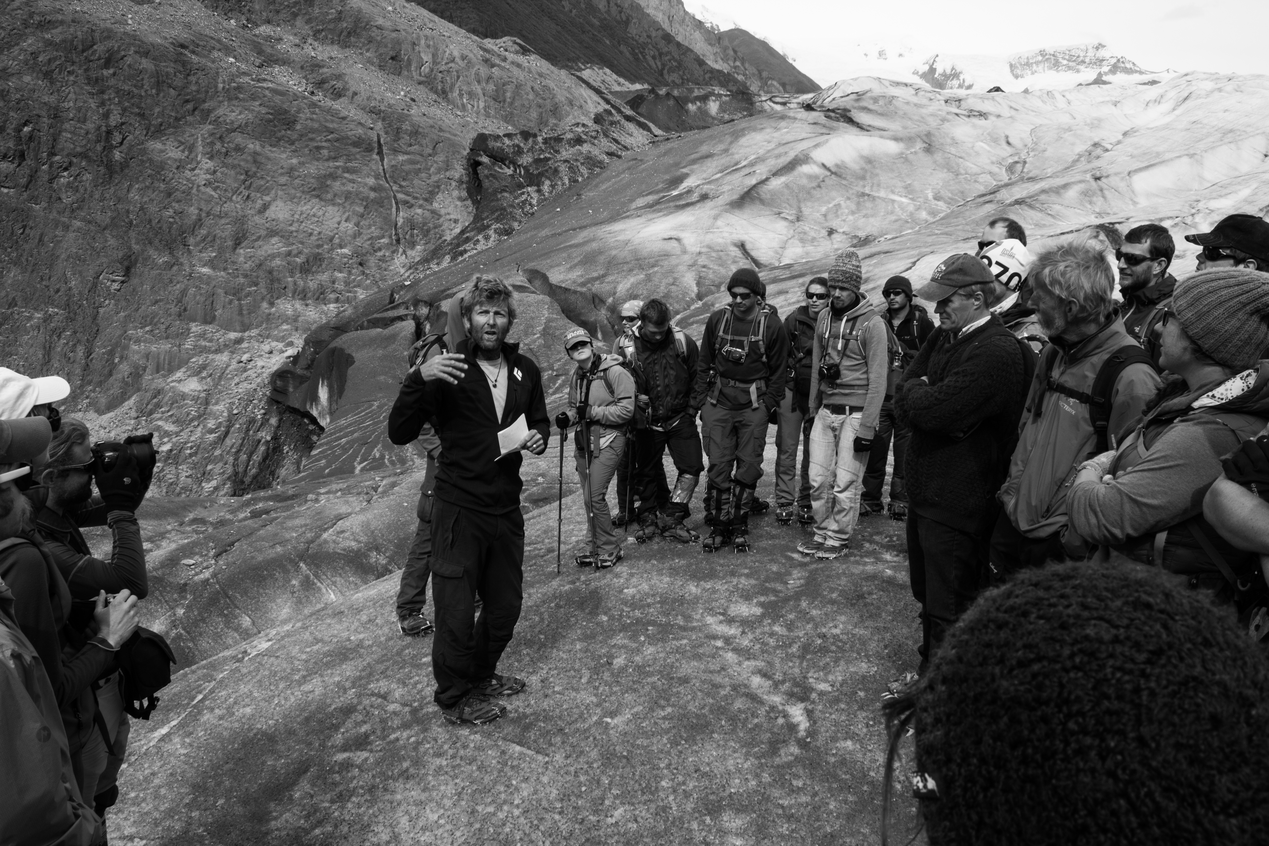
The following are just some initial shots from my first few days here, including some from the training we underwent. As always, images can be clicked on to view in full size. More updates coming soon.
Protect our glaciers. Rifle handling is an important component of the safety training at UNIS, but is very rarely drawn upon. Temperatures on this evening were around -25°C, adding the additional challenges to target practice of bulky gloves and shivering.
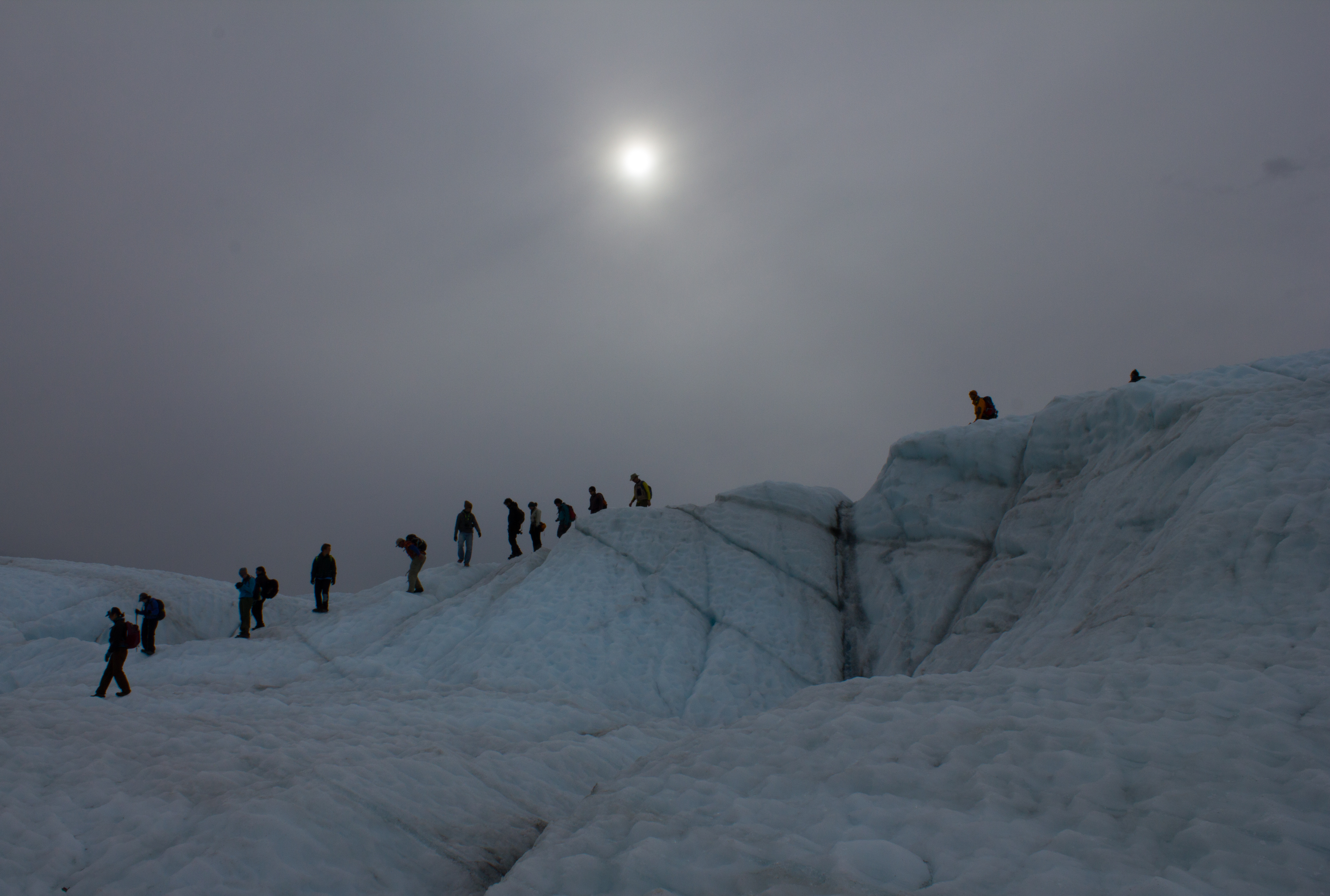
At the beginning of August, I was fortunate enough to take part in the International Glaciology Summer School, in beautiful Alaska. The school is run every two years, directed by Regine Hock of the University of Alaska Fairbanks, and brings together students and instructors from all over the world. Based in the Wrangell mountains, in the old mining village of McCarthy, the school provides an opportunity to learn from experts in a range of fields within glaciology, and perhaps more importantly, provides a platform to engage with and get to know others embarking on research in the science. The 10 days of the course were some of the most enjoyable of my academic career, and I left inspired by the enthusiasm and curiosity of my peers.
Below are images from some of the activities that took place outside of the classroom (click on images to enlarge).
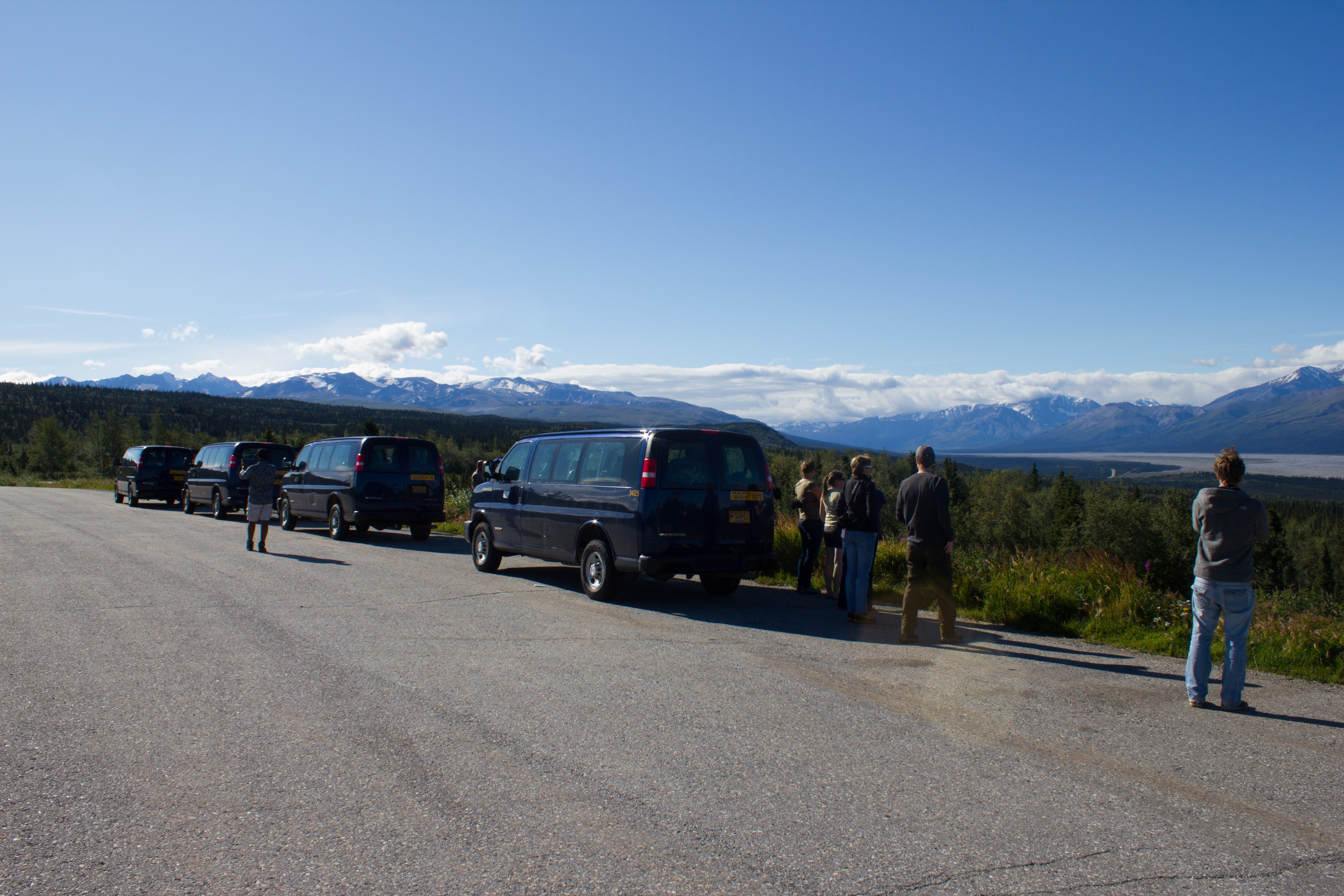
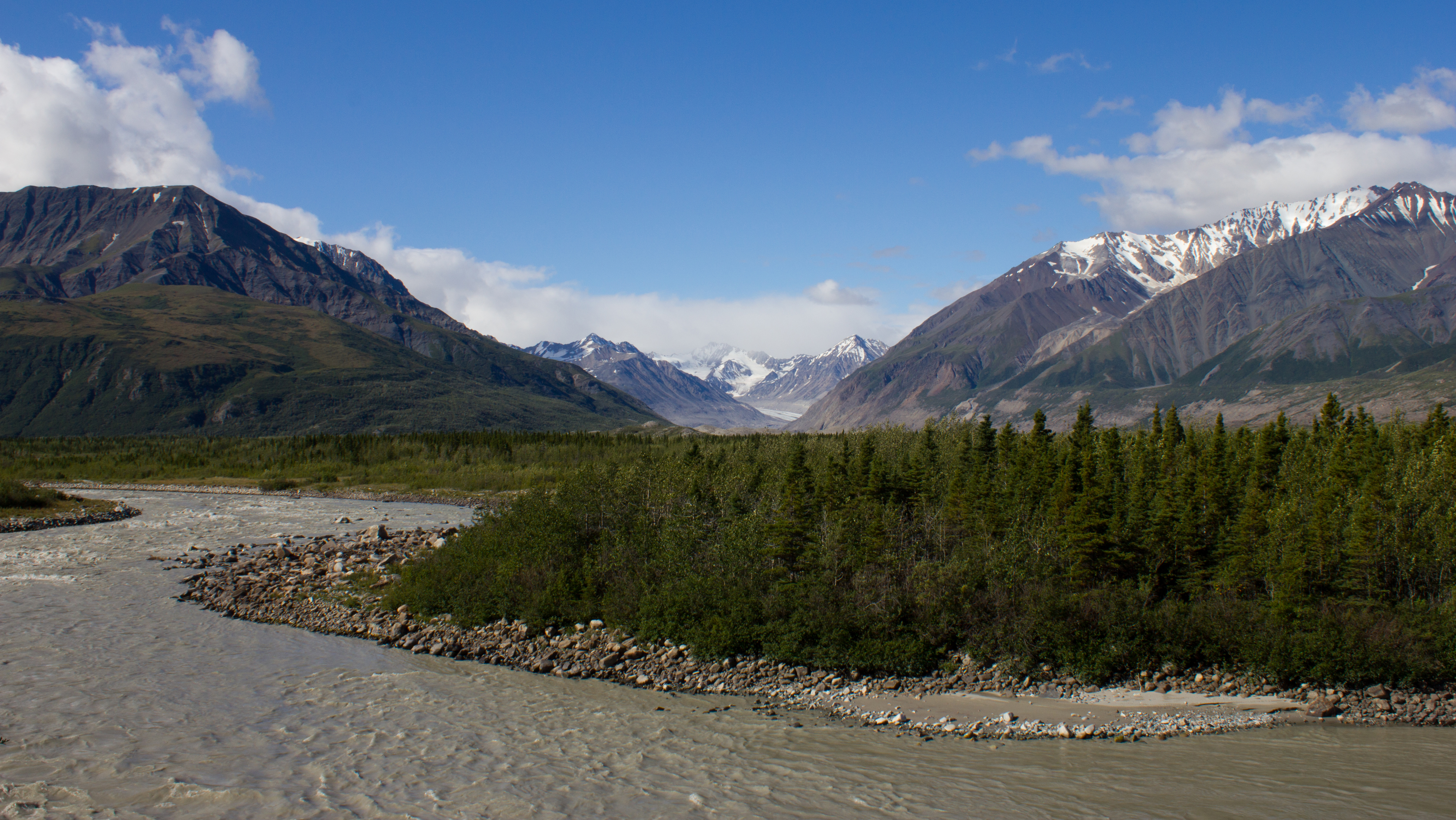
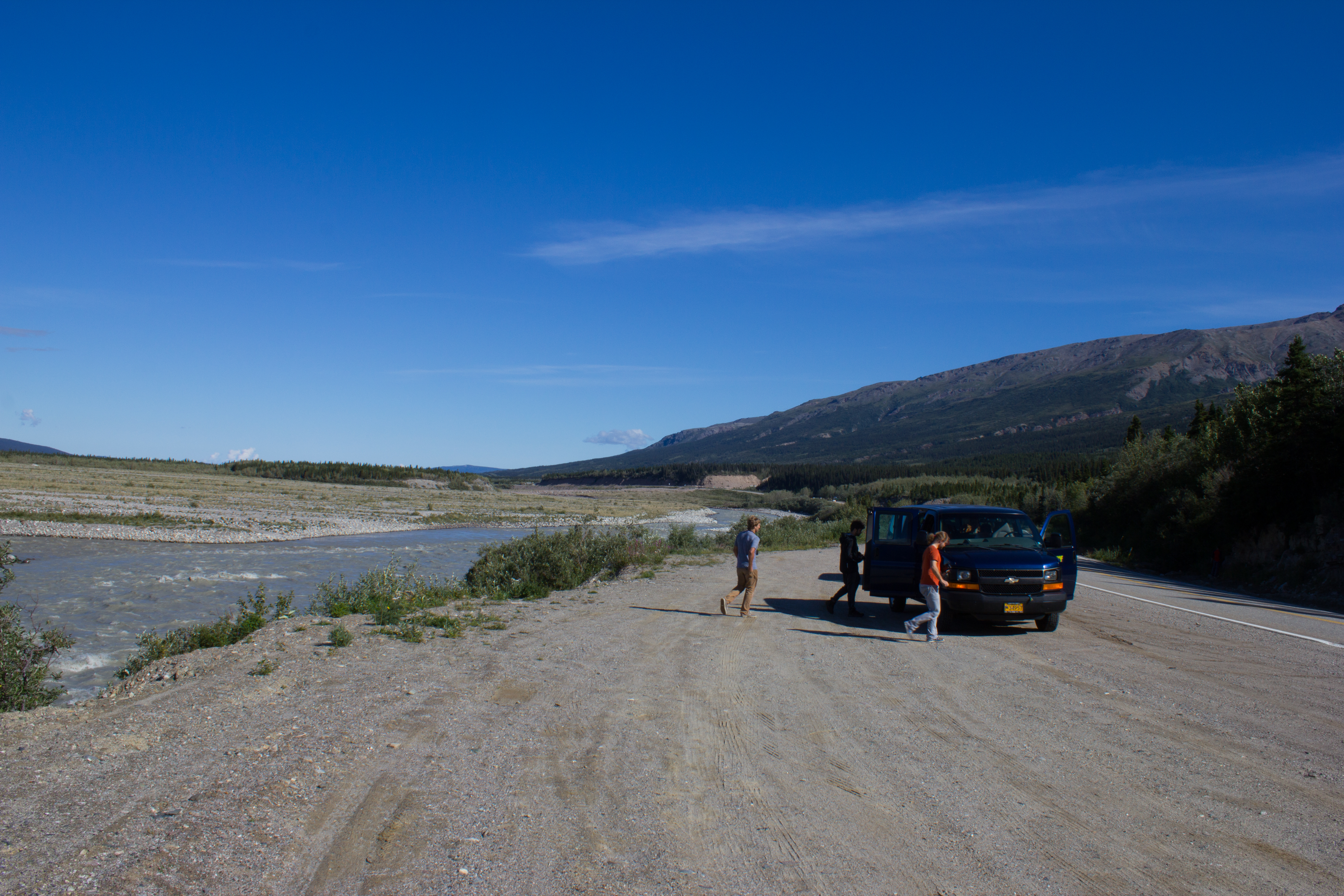
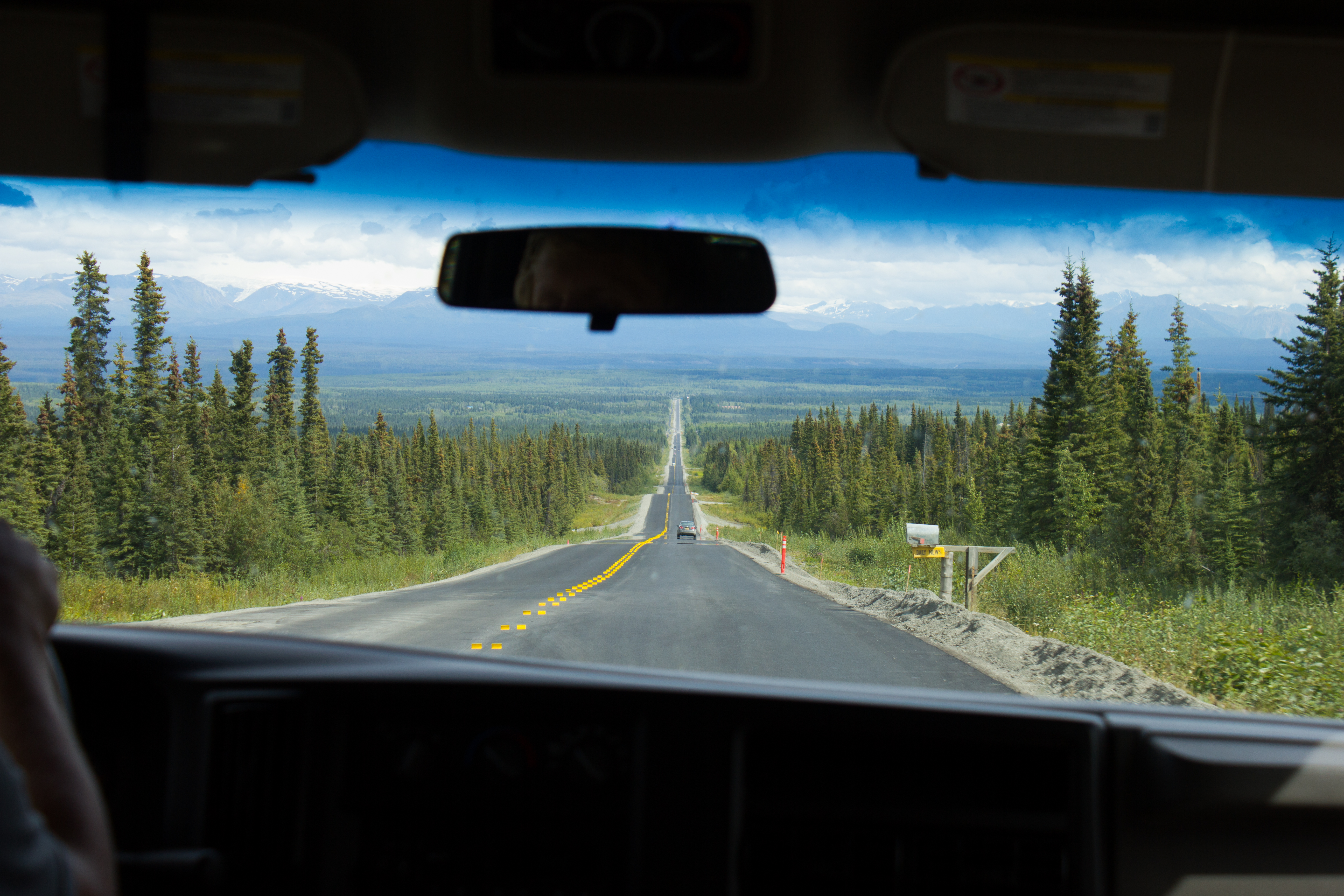
Hitting the road from Fairbanks to McCarthy, and aiming for the mountains.
The drive to McCarthy took 11 hours, but it was broken up with regular stops.
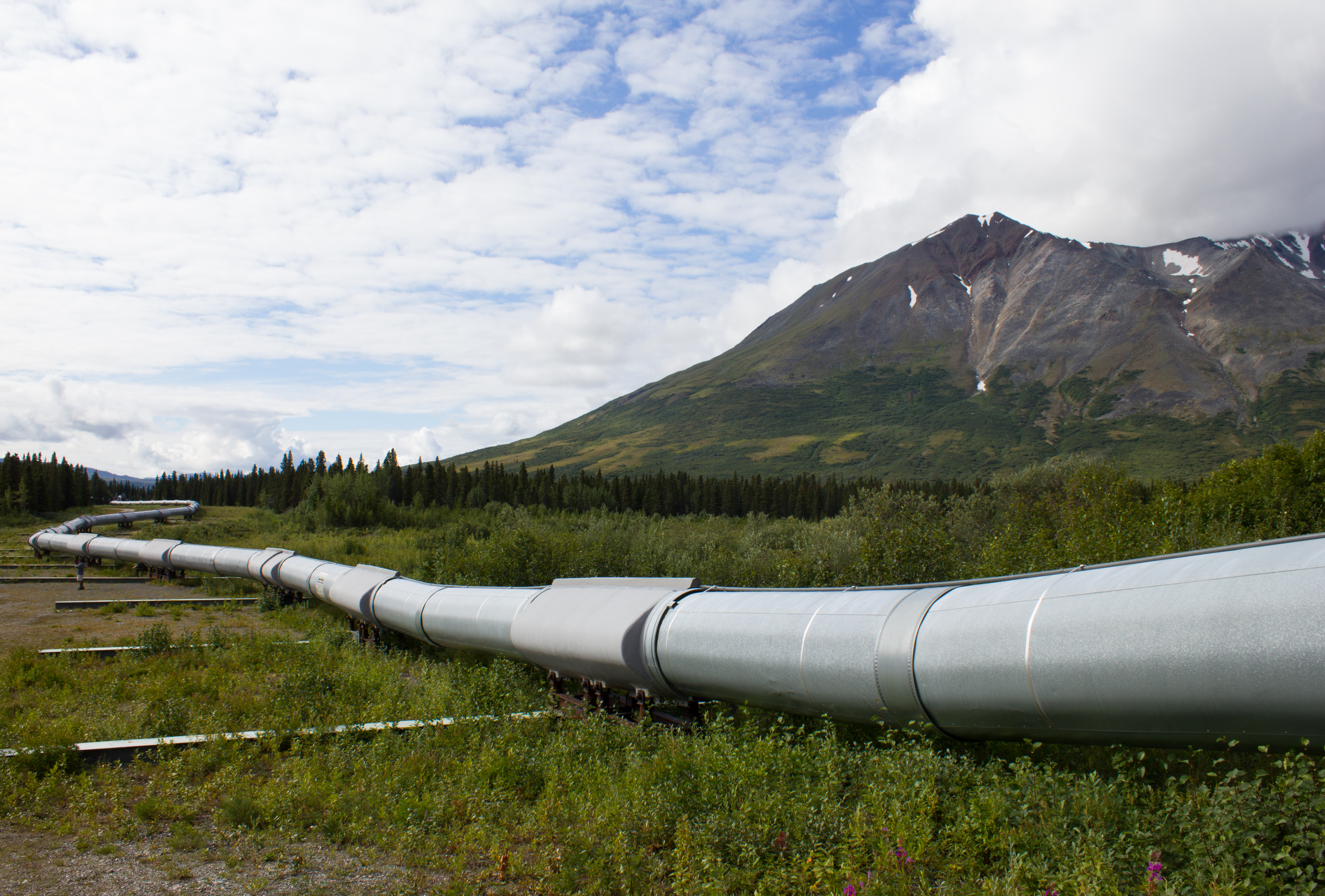
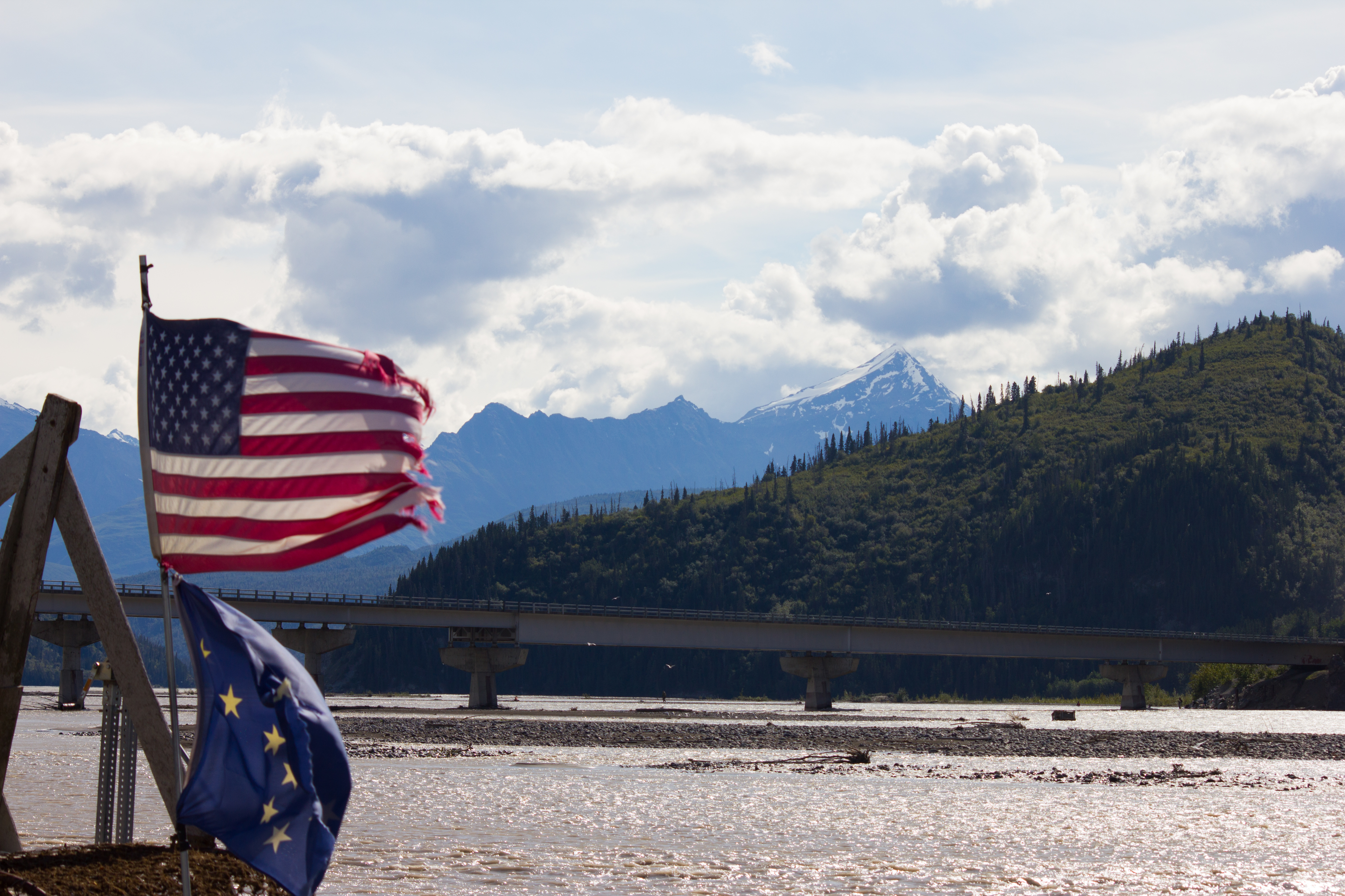
The Trans-Alaska pipeline crosses the entire state, north to south, from Prudhoe Bay to Valdez, stretching over 1,200km.
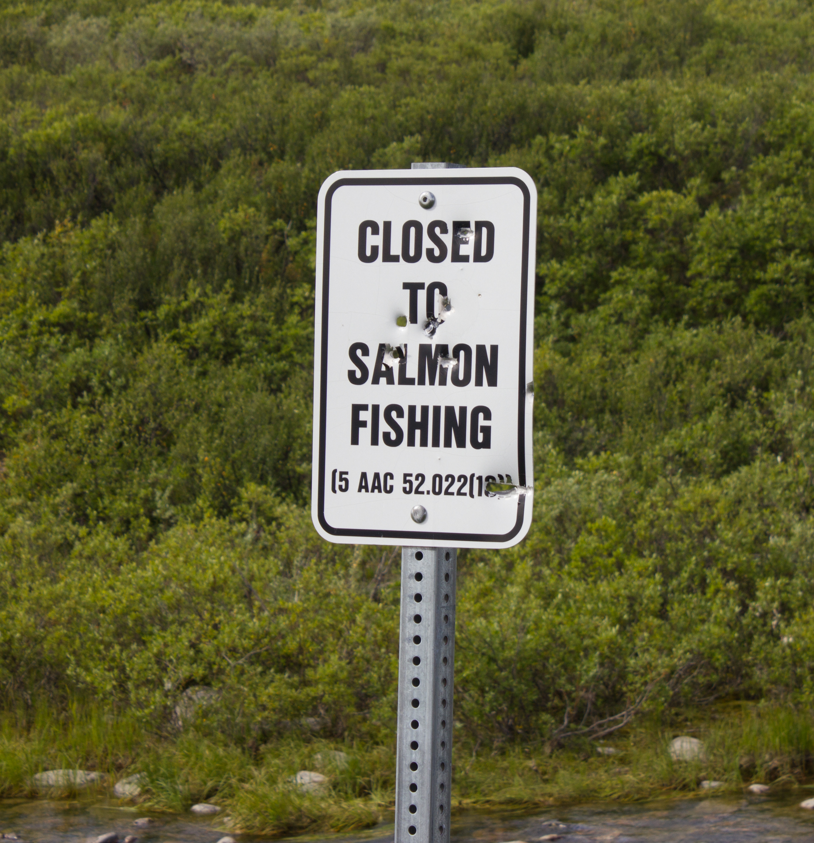
Not a popular decision. In reality, the salmon at this point have traveled so far inland from the sea (to reach spawning grounds) that they have lost much of their mass, and are not suitable for consumption.
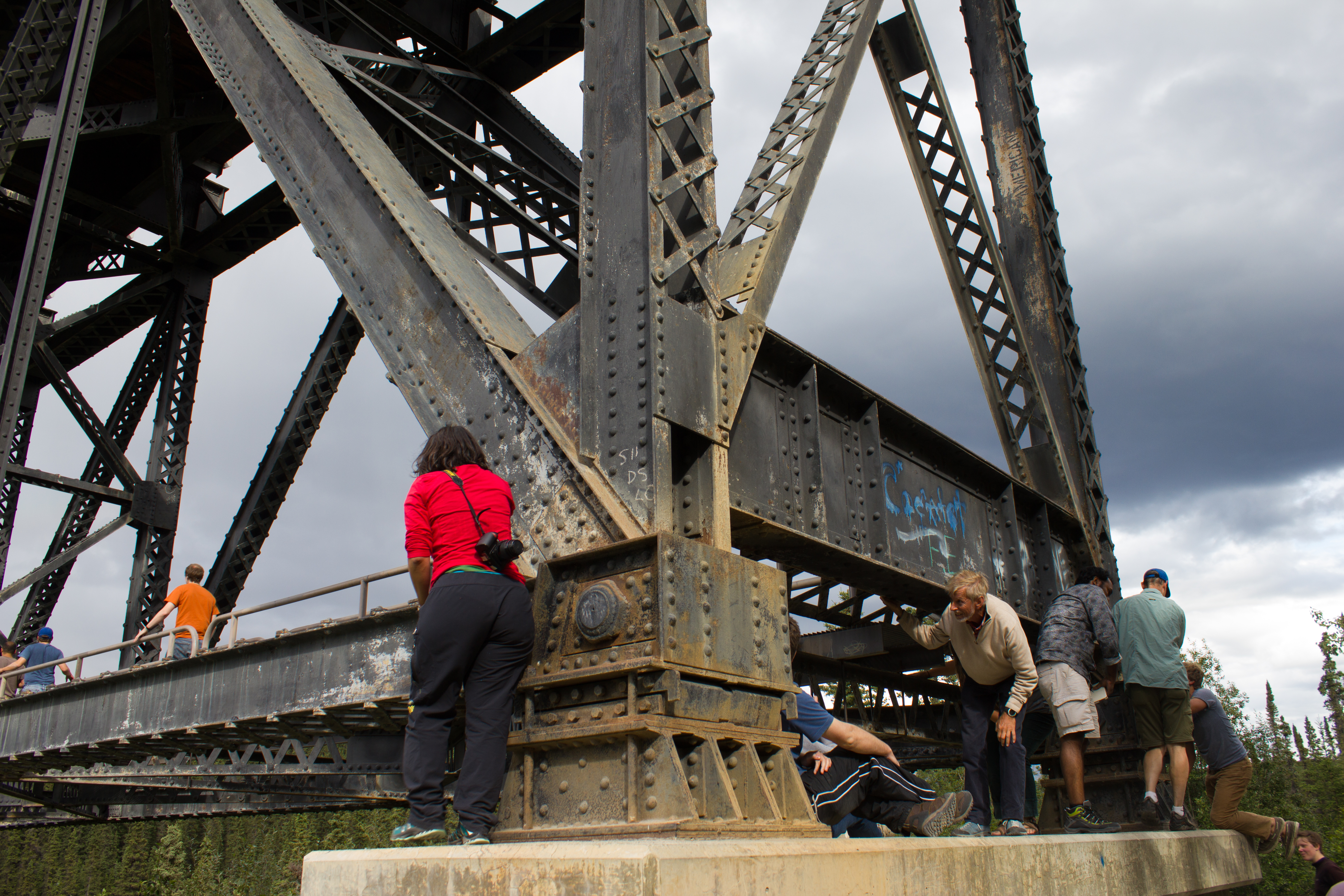
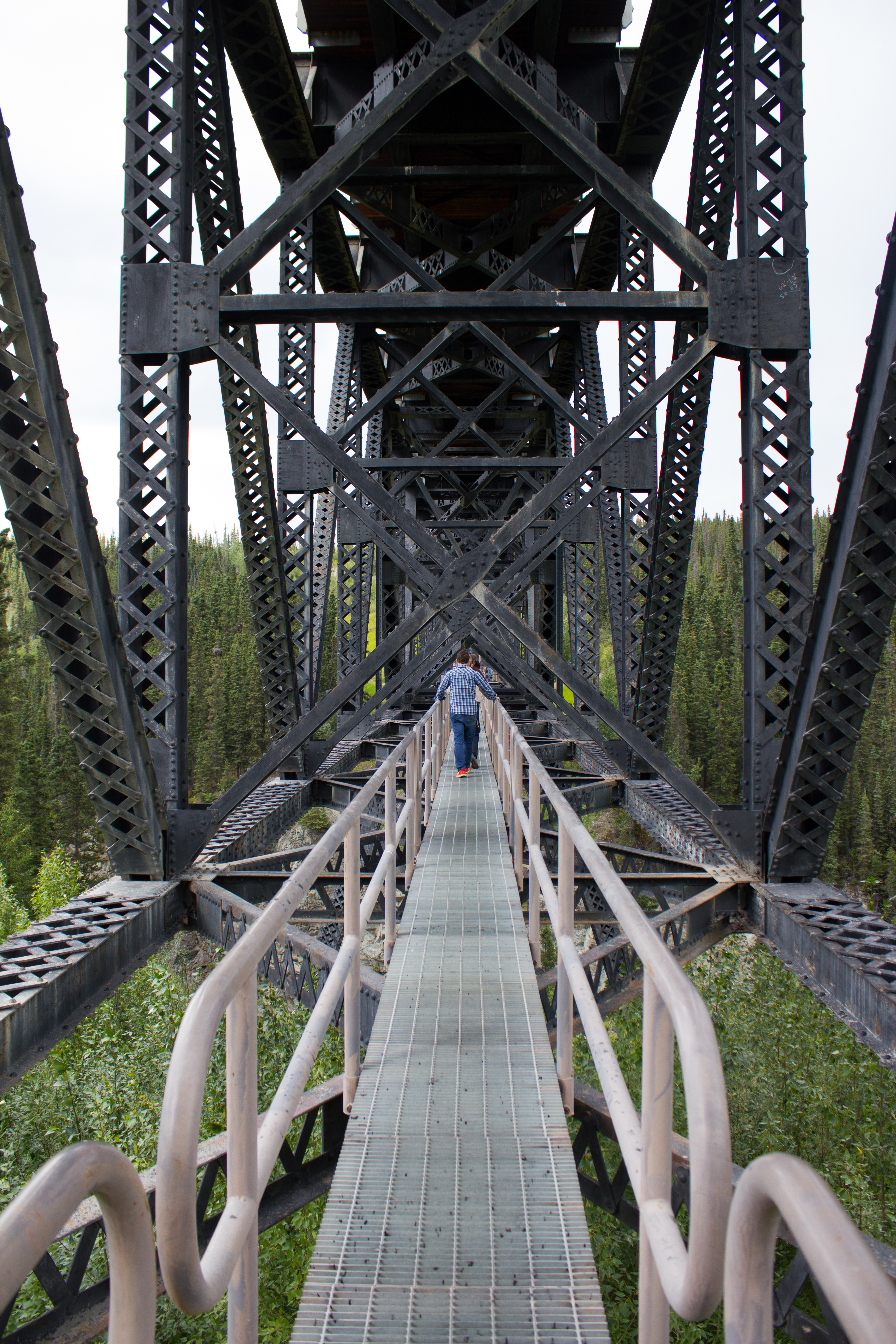
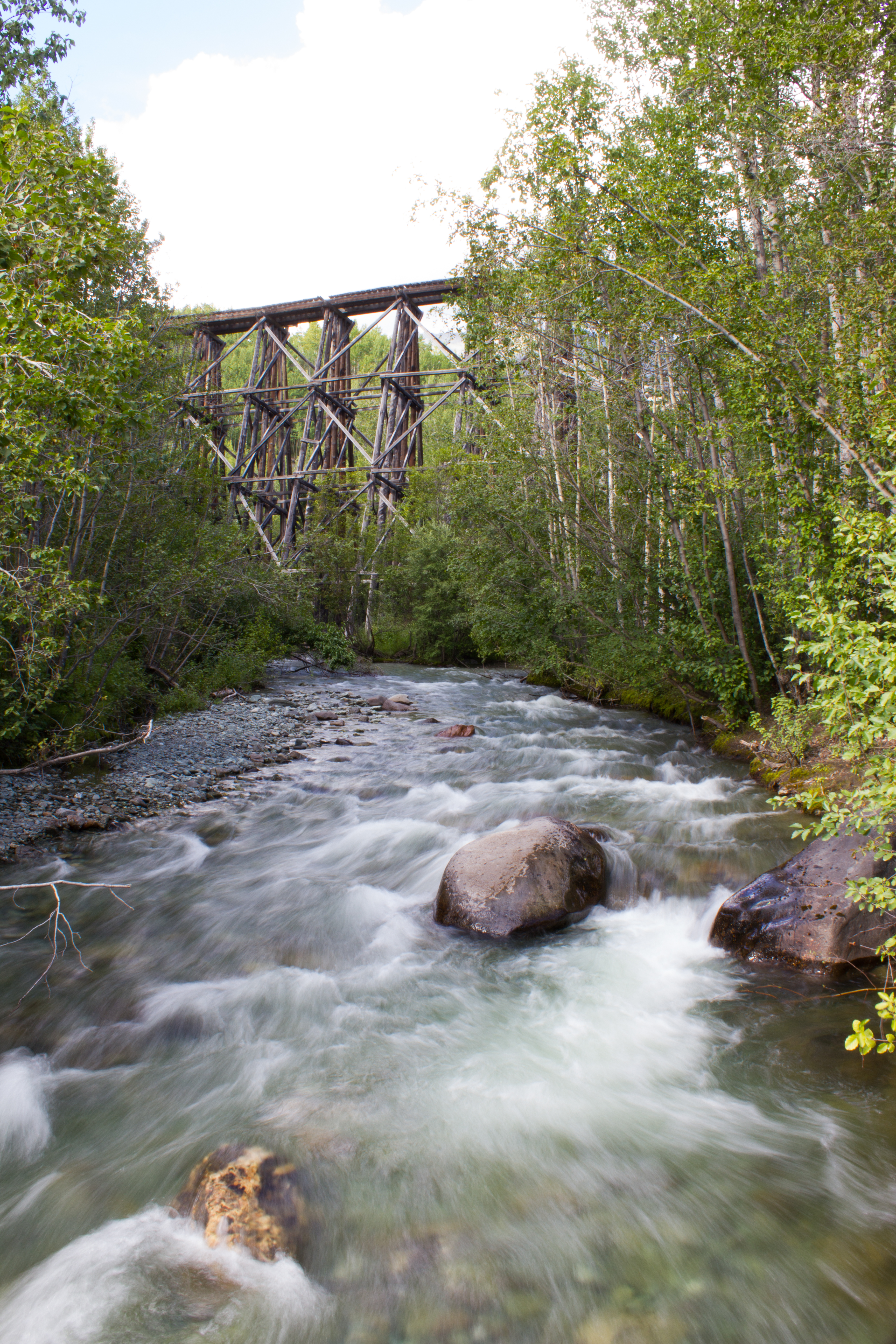
Hanging out under bridges.
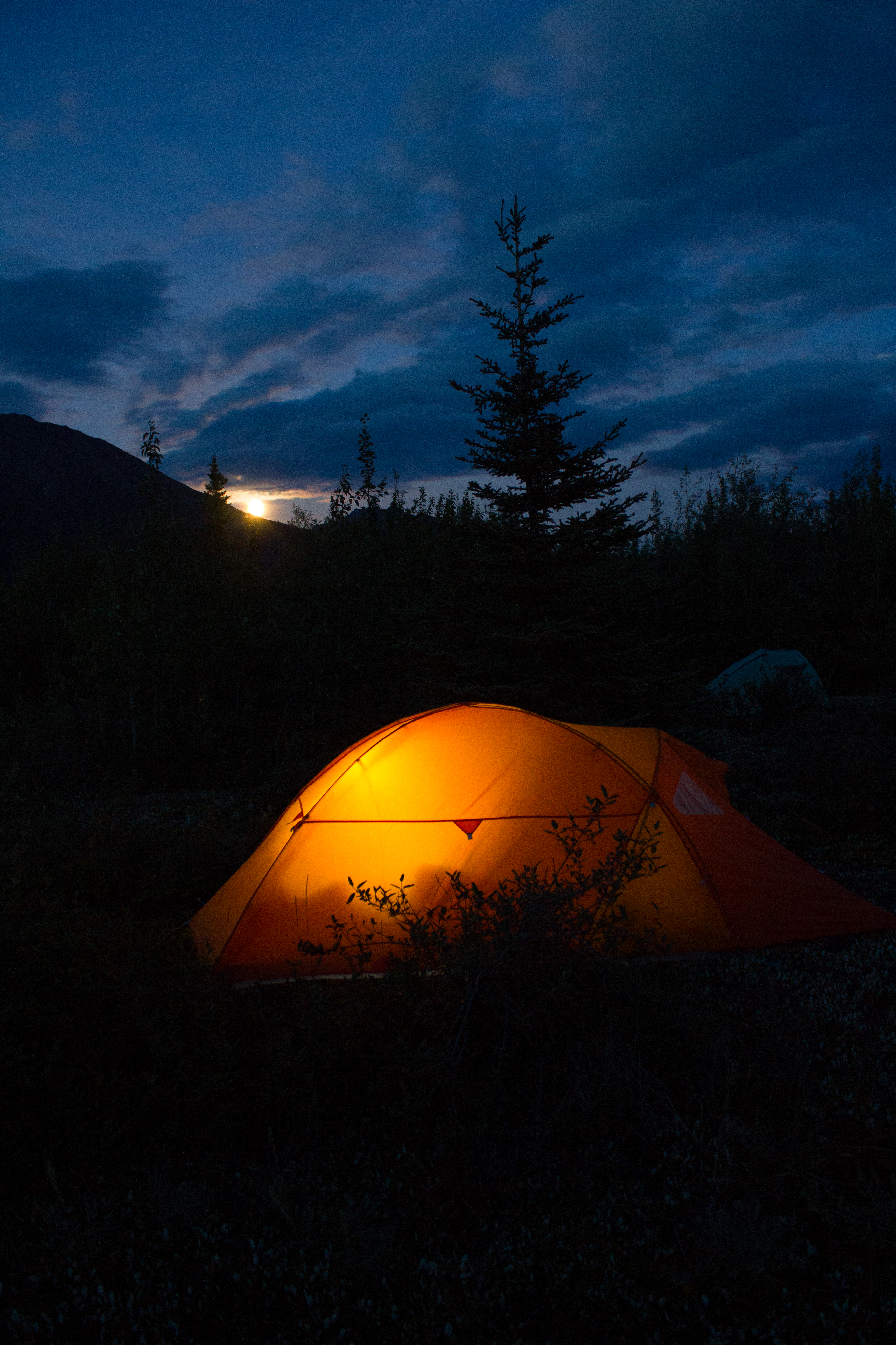
Home for the next 10 days
Moonrise
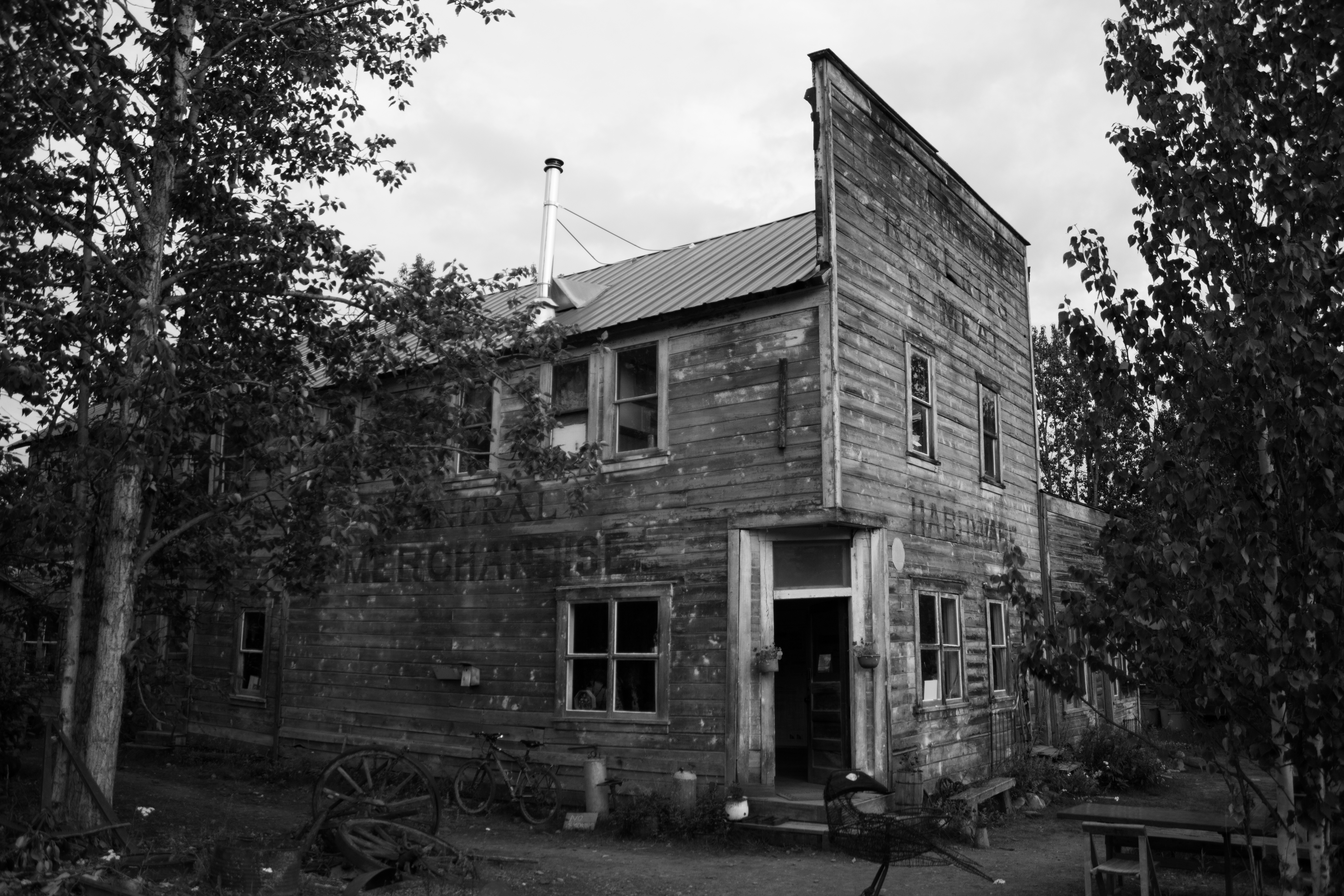
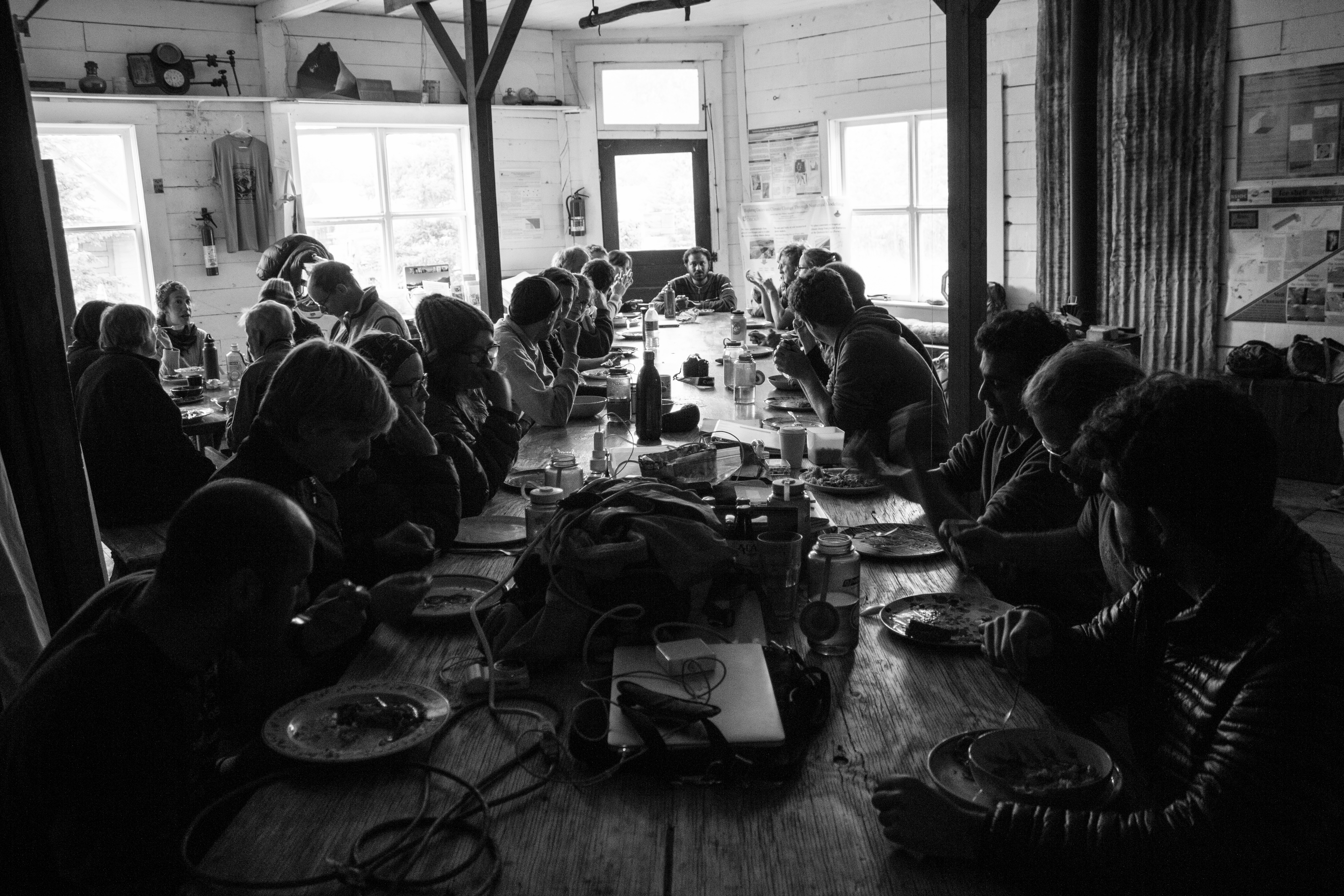
McCarthy’s old hardware store, now operated as the Wrangle Mountain Center, was our base for the summer school.
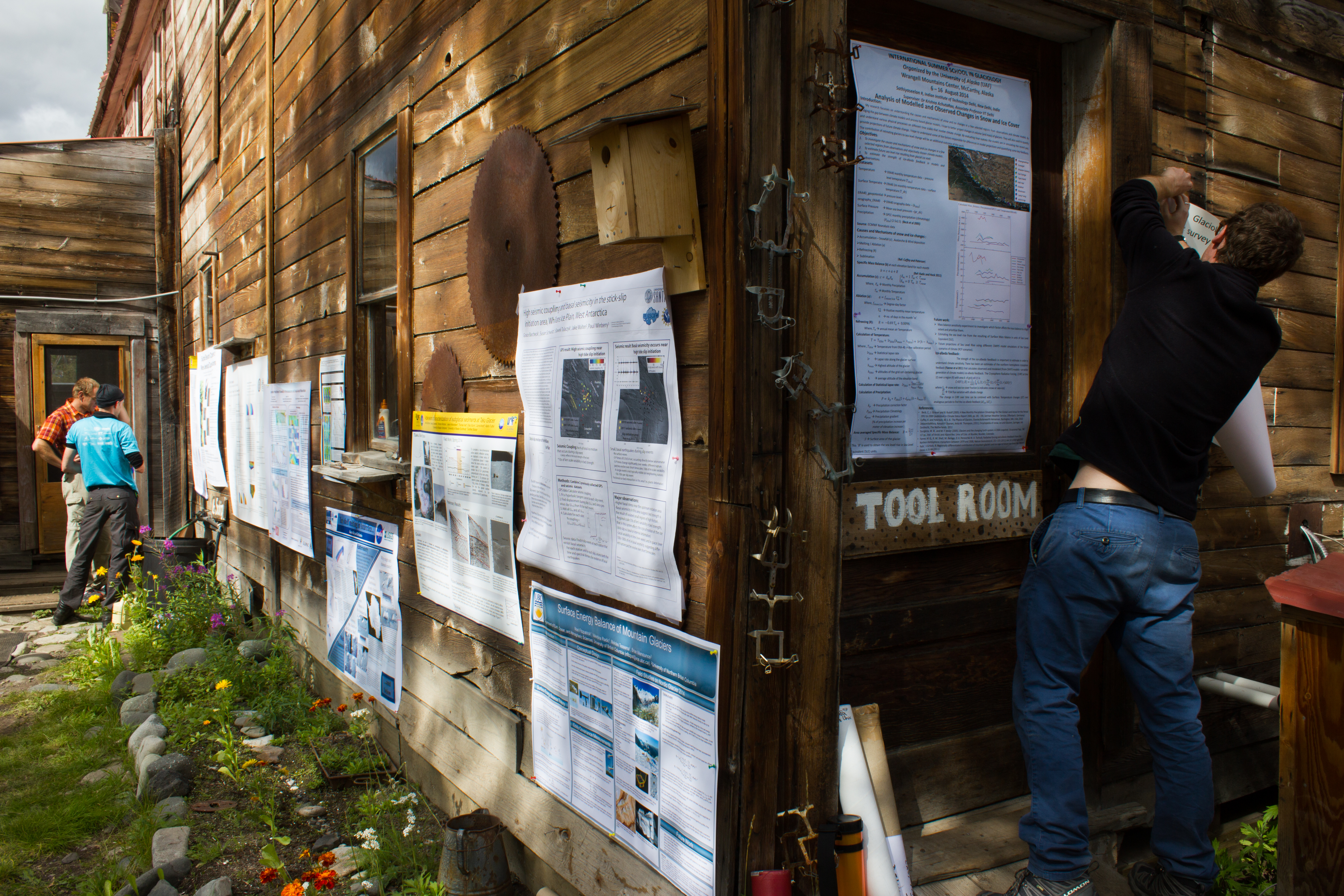
Tools of the trade. An unconventional poster session.
Friday night softball in McCarthy.
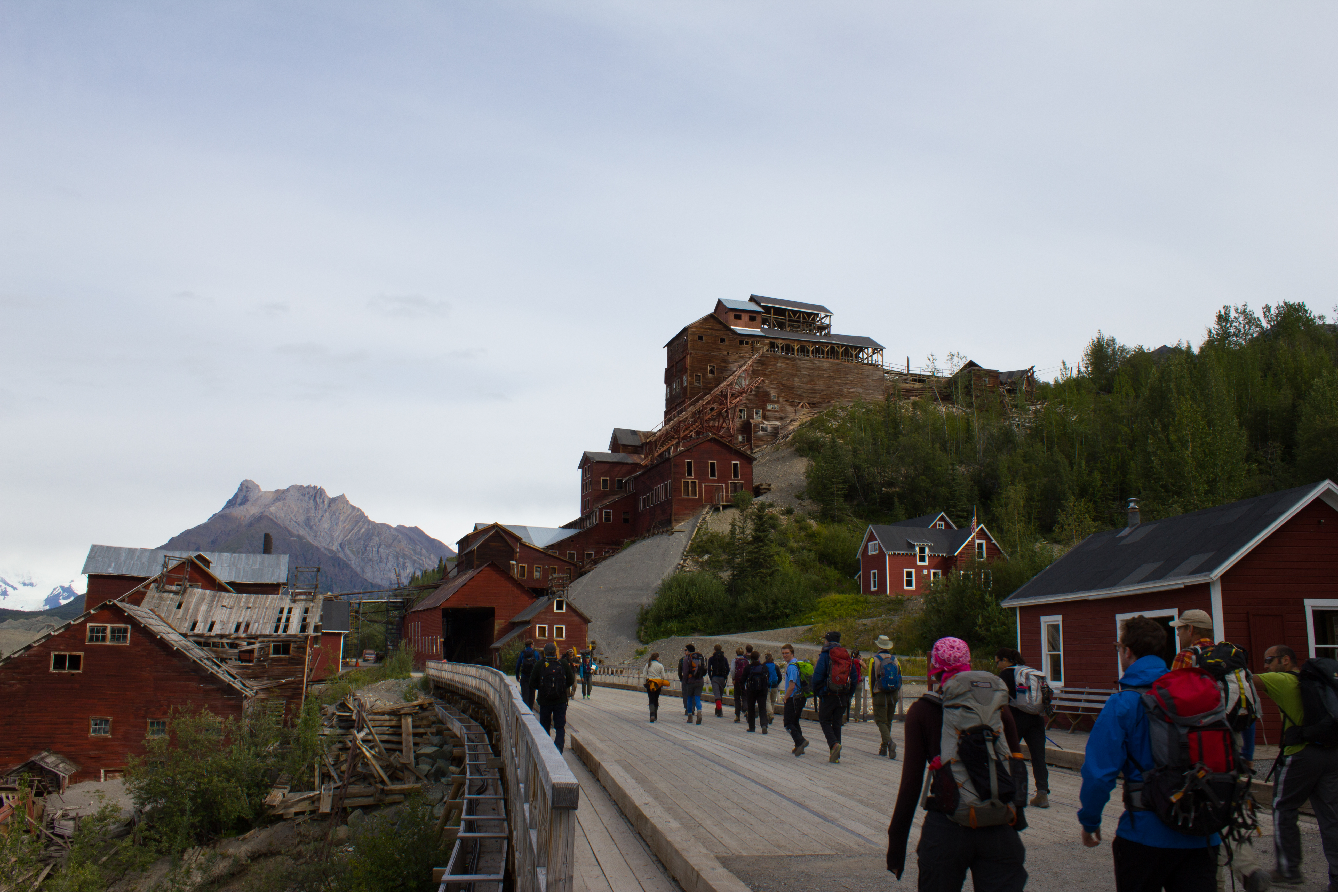
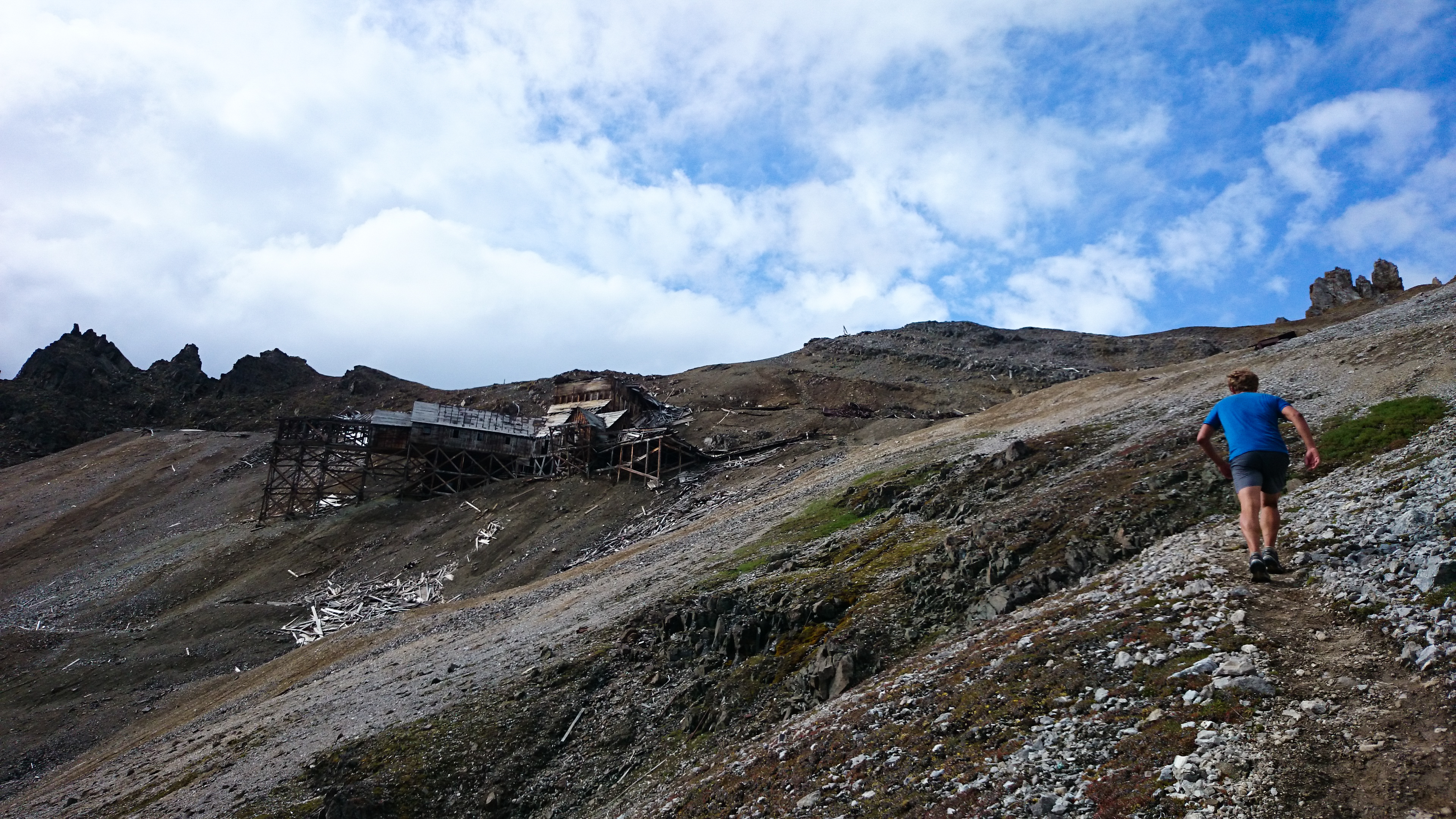
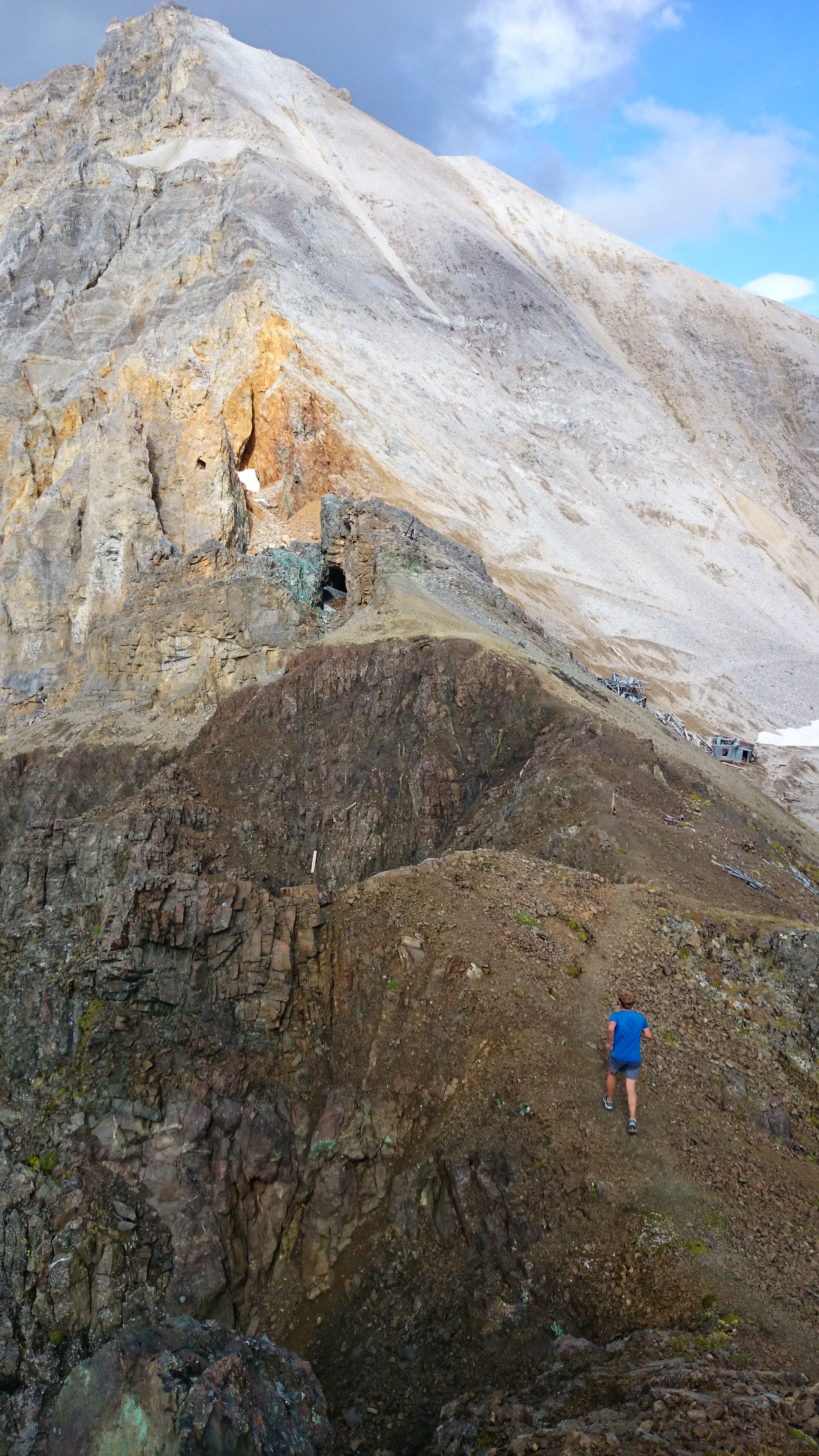
Passing Kennicott mill, where ore from the surrounding copper mines was processed in the early 1900s.
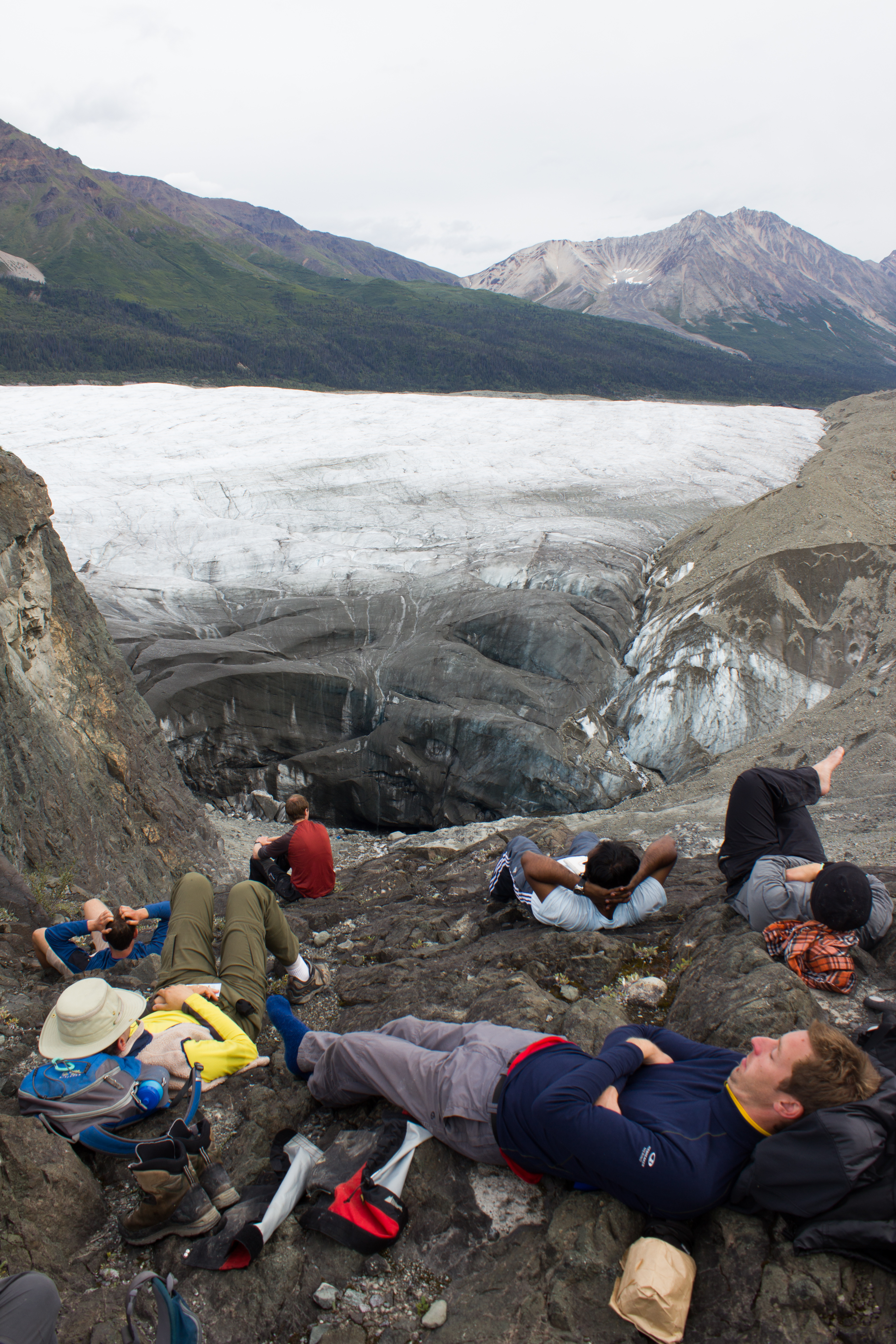
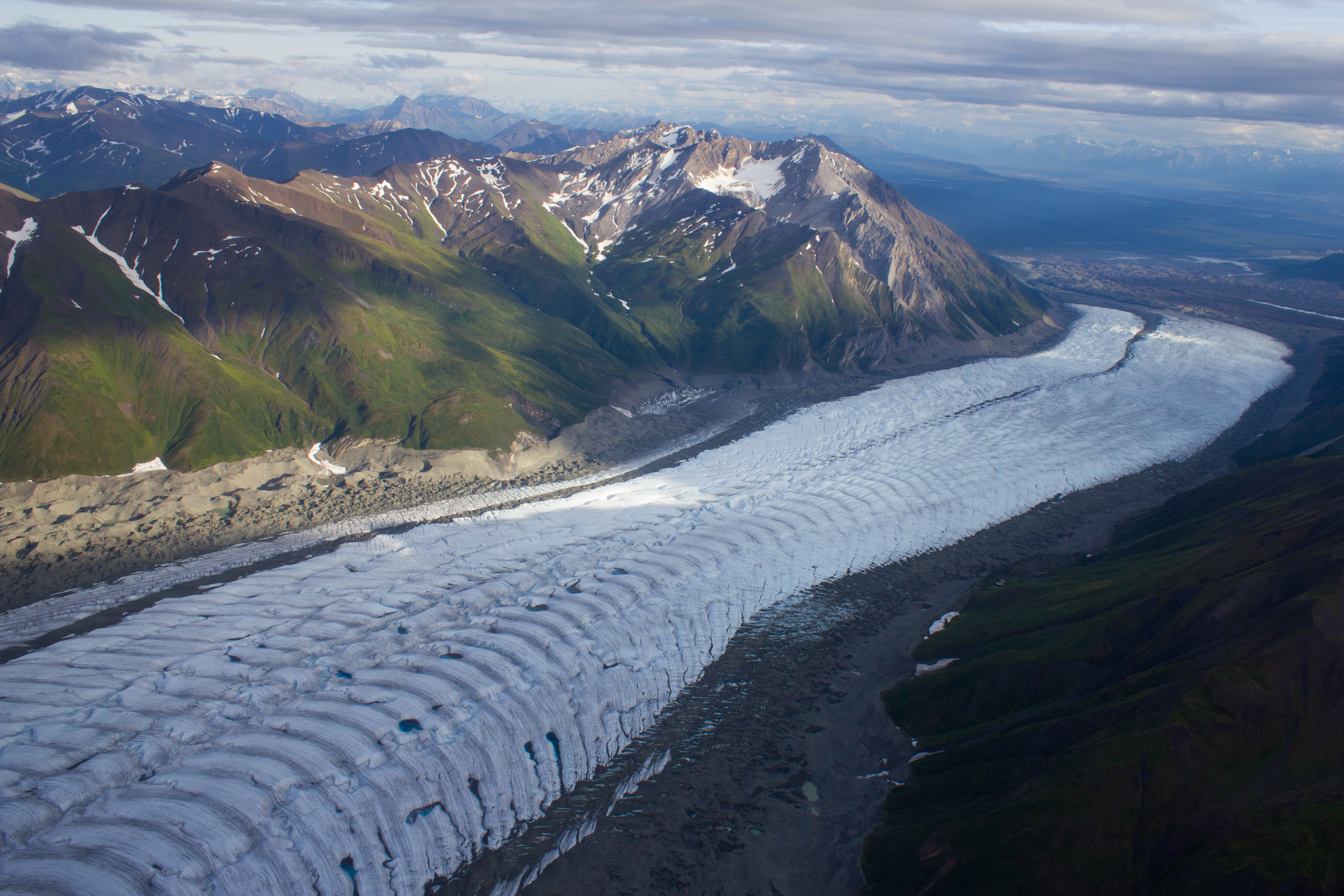
Mike in action. The expanse of what looks like gravel in the background is actually the lower reaches of the Kennicott glacier; the ridges are composed predominately of ice, coated with a thin layer of debris. The material comes from the lateral moraines of numerous tributary glaciers that have merged with the main trunk of the Kennicott, higher up the valley.
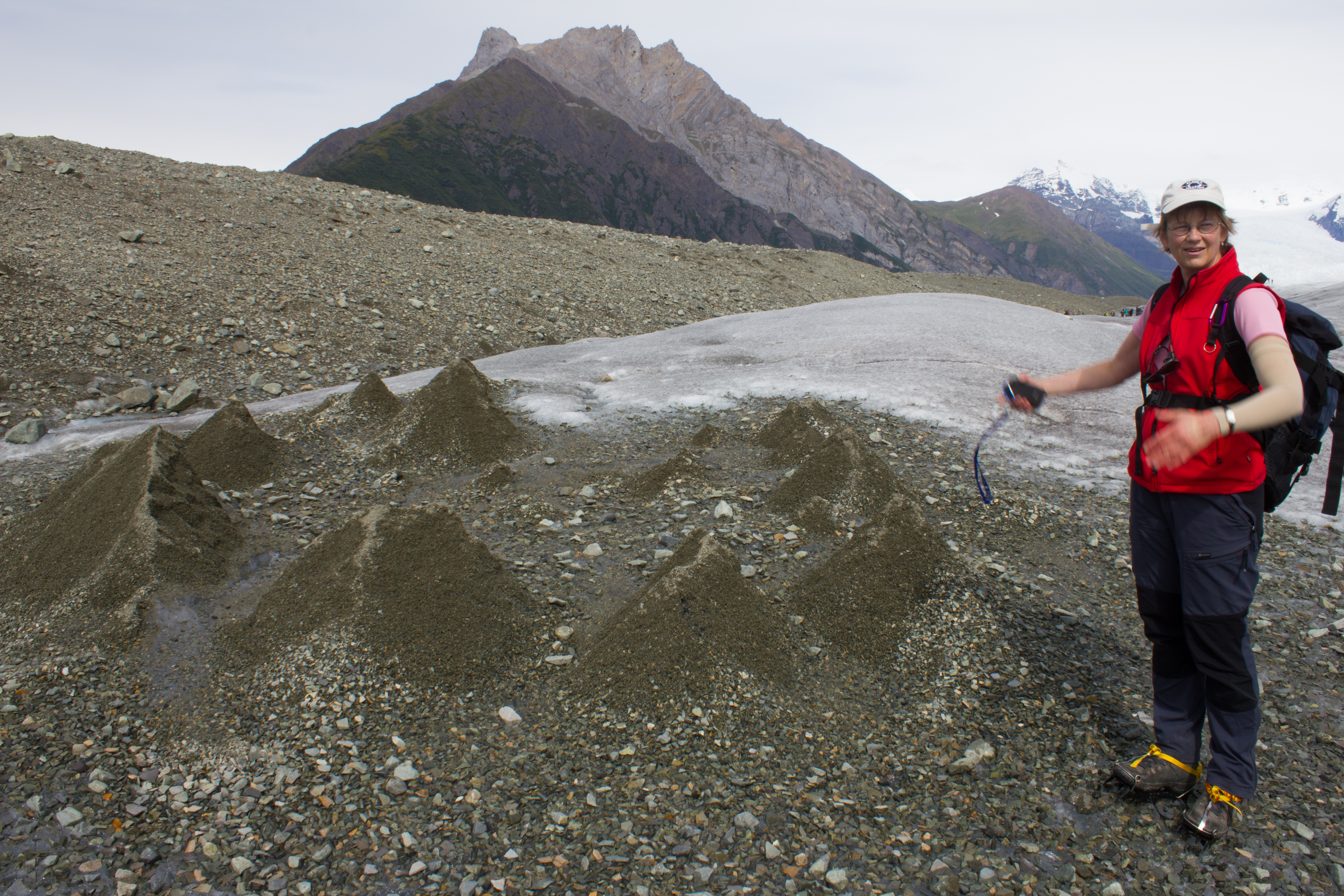
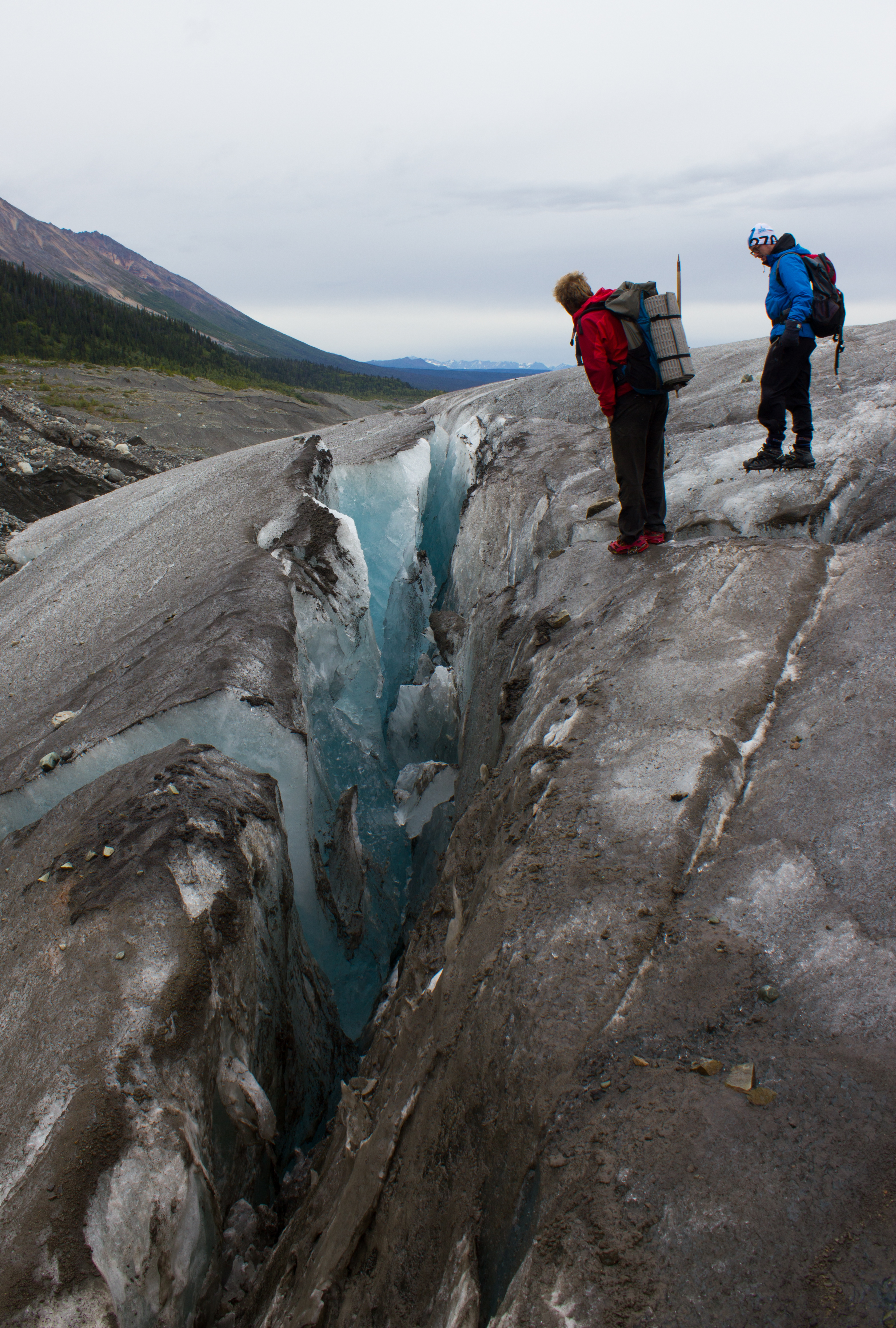
Footprint of a moulin. Debris carried downwards by water is deposited at the bottom of the moulin. When the overlying snow and ice melts (and the moulin collapses), the ice covered by this material melts slower than the surrounding exposed ice, resulting in these ridges.
Glaciologists in their natural environment.
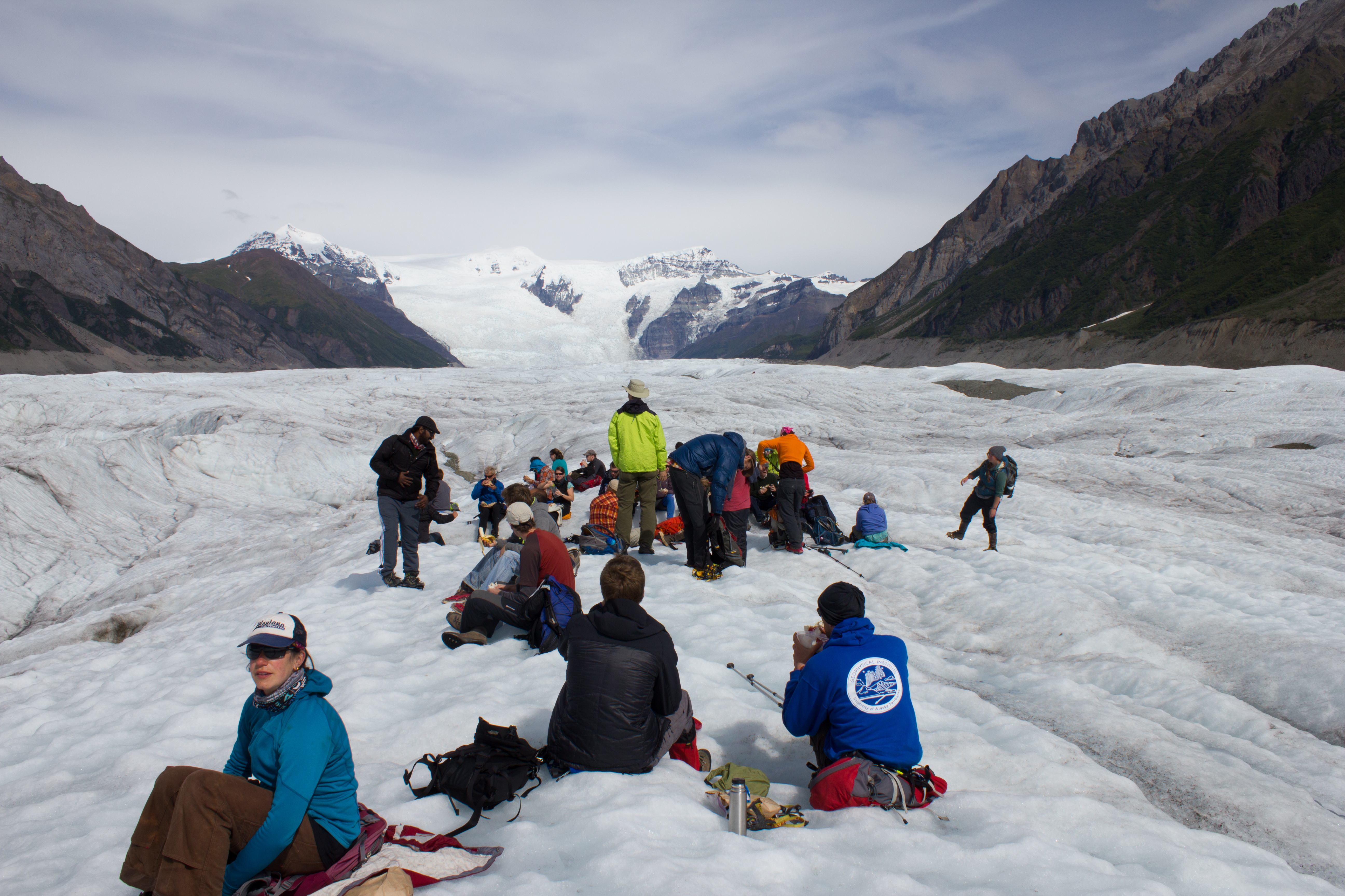
Lunch time
Holding court
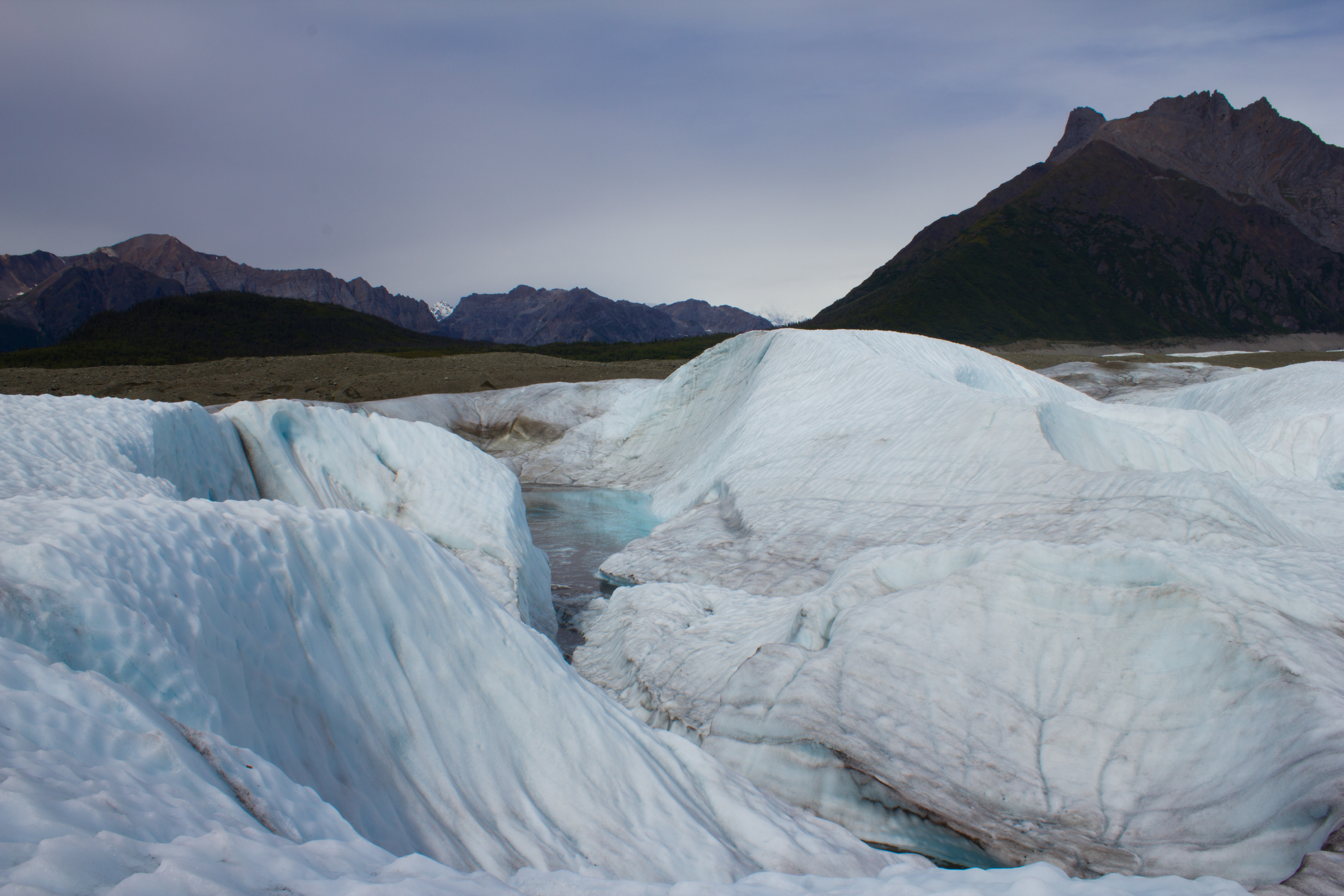
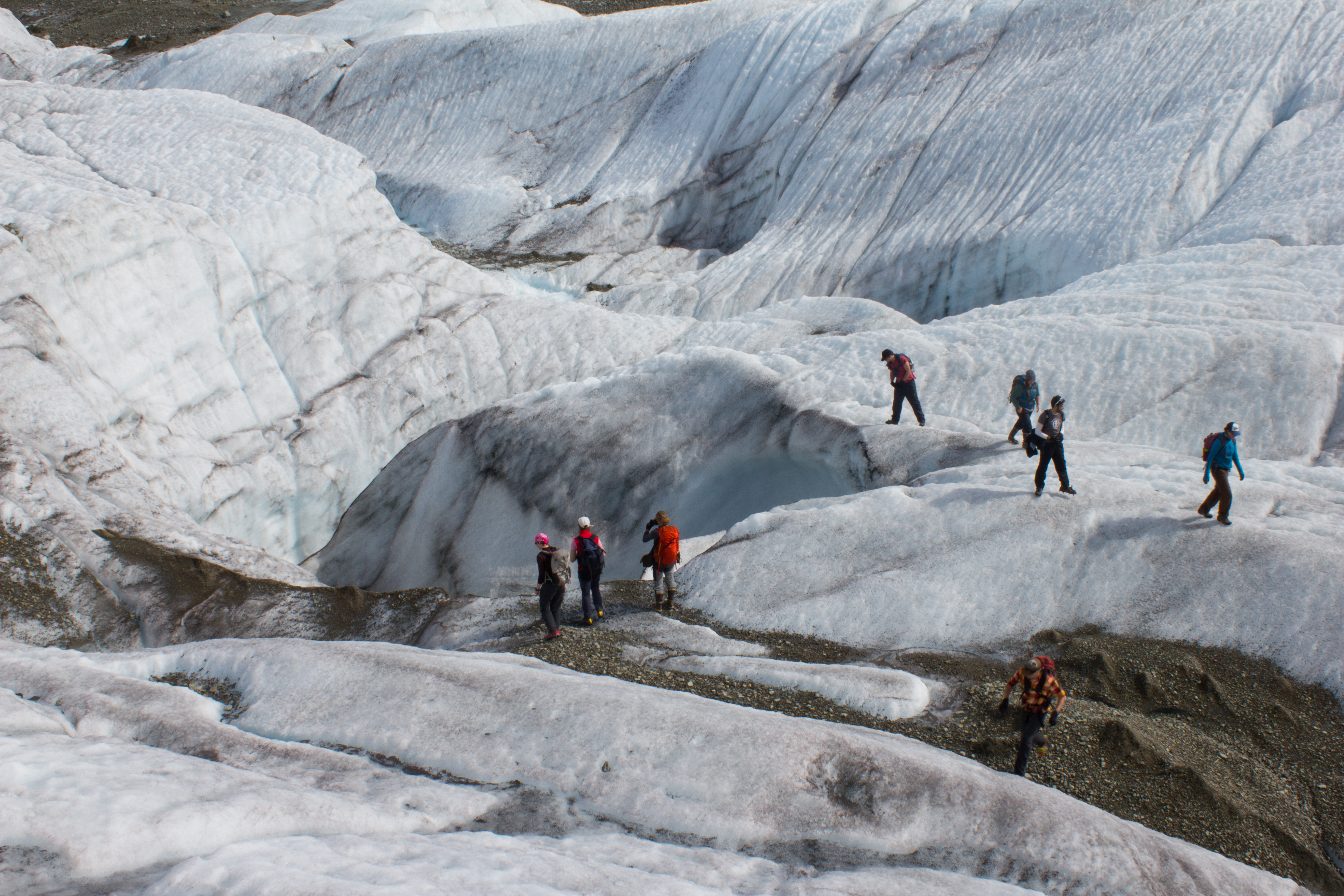
Descending into a temporarily empty lake basin. This lake, along the margin of the Root glacier, can fill or drain in a day; the water flowing through subglacial channels.
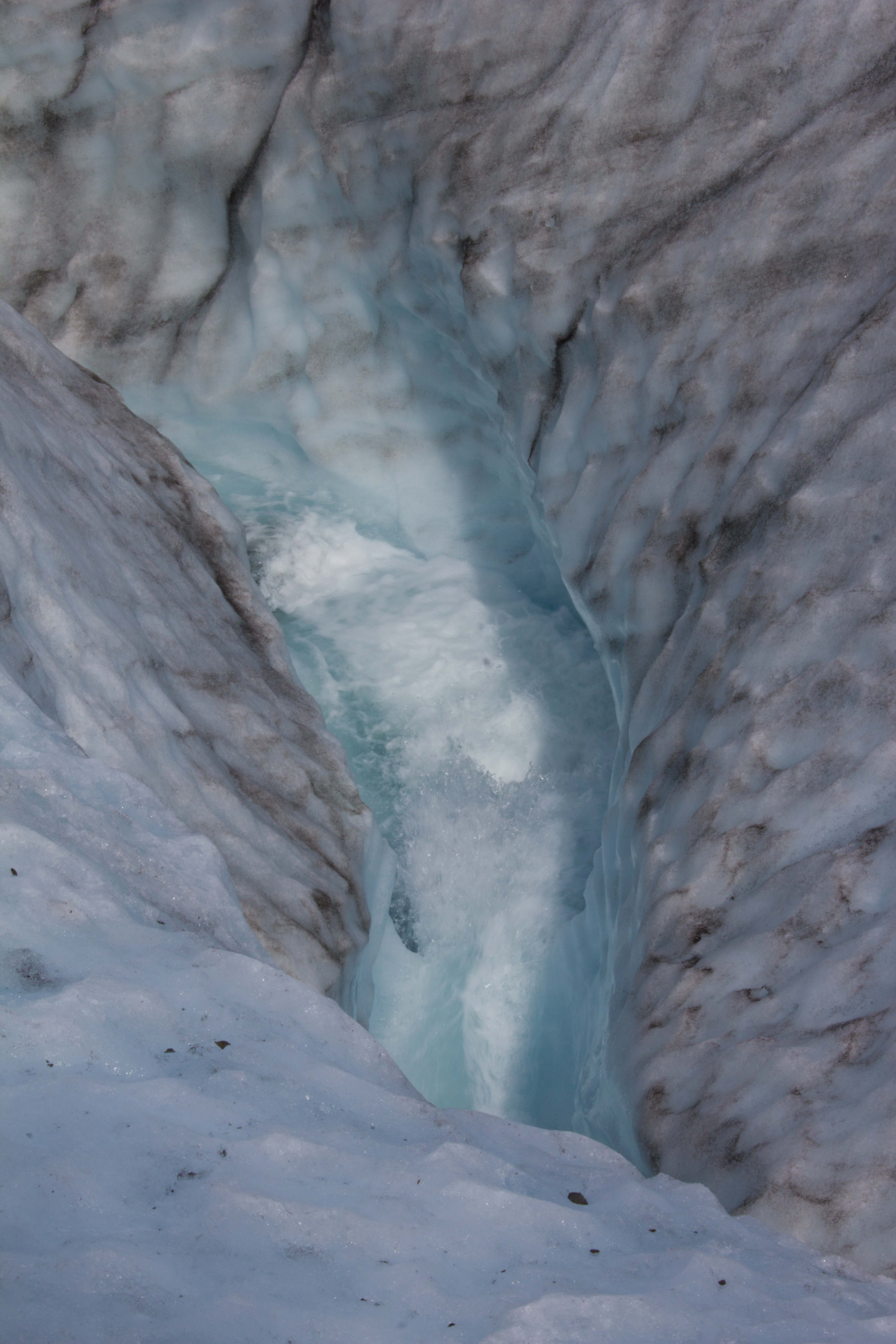
What lies beneath a glacier?
The blue room. I spent longer crouched in a subglacial river than is probably recommended, but it was a hard place to leave.
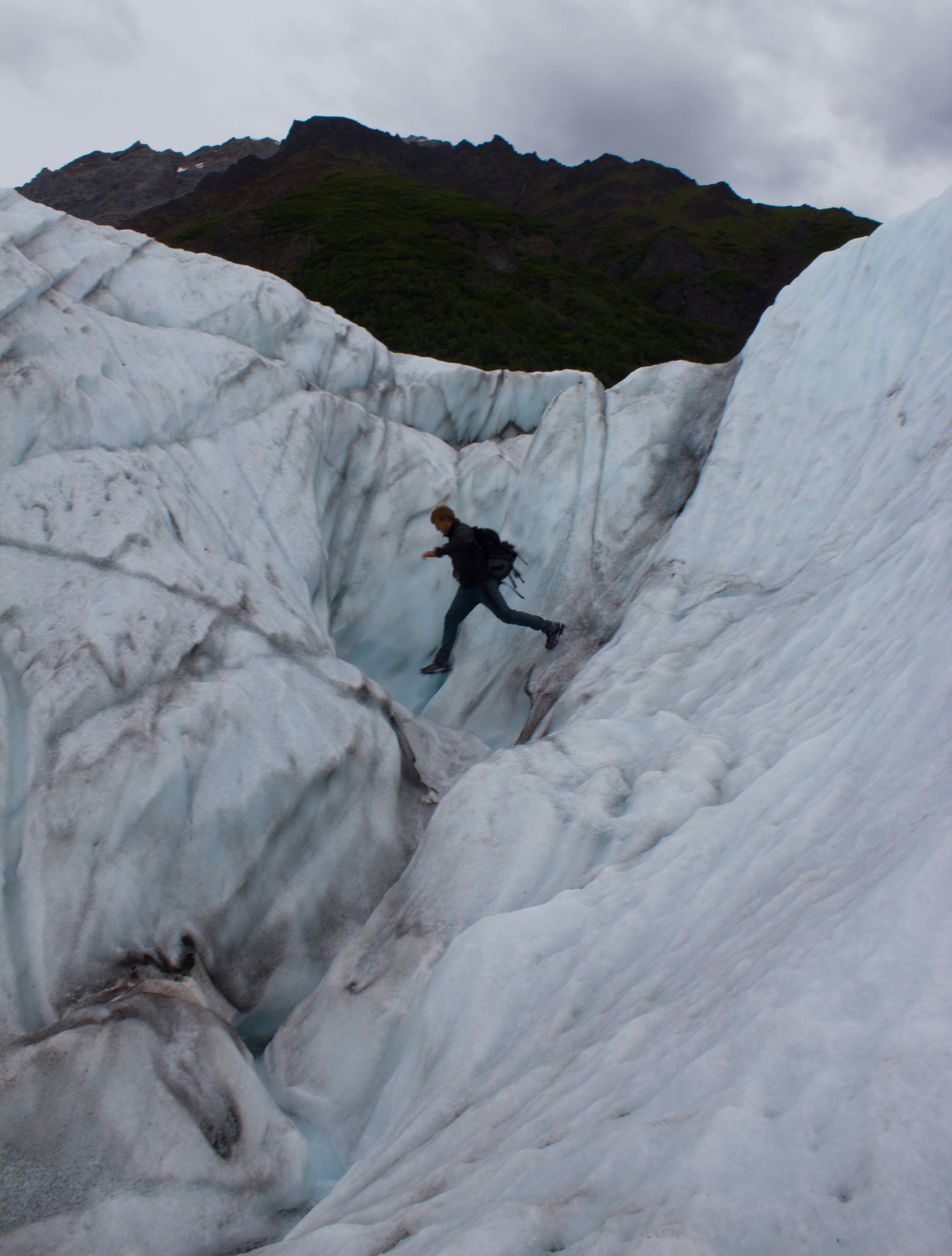
Having seen all there is to see on the surface of a glacier, Colin decides to check out a moulin (not really; don’t do this).
Outlets were a commodity when power was available.
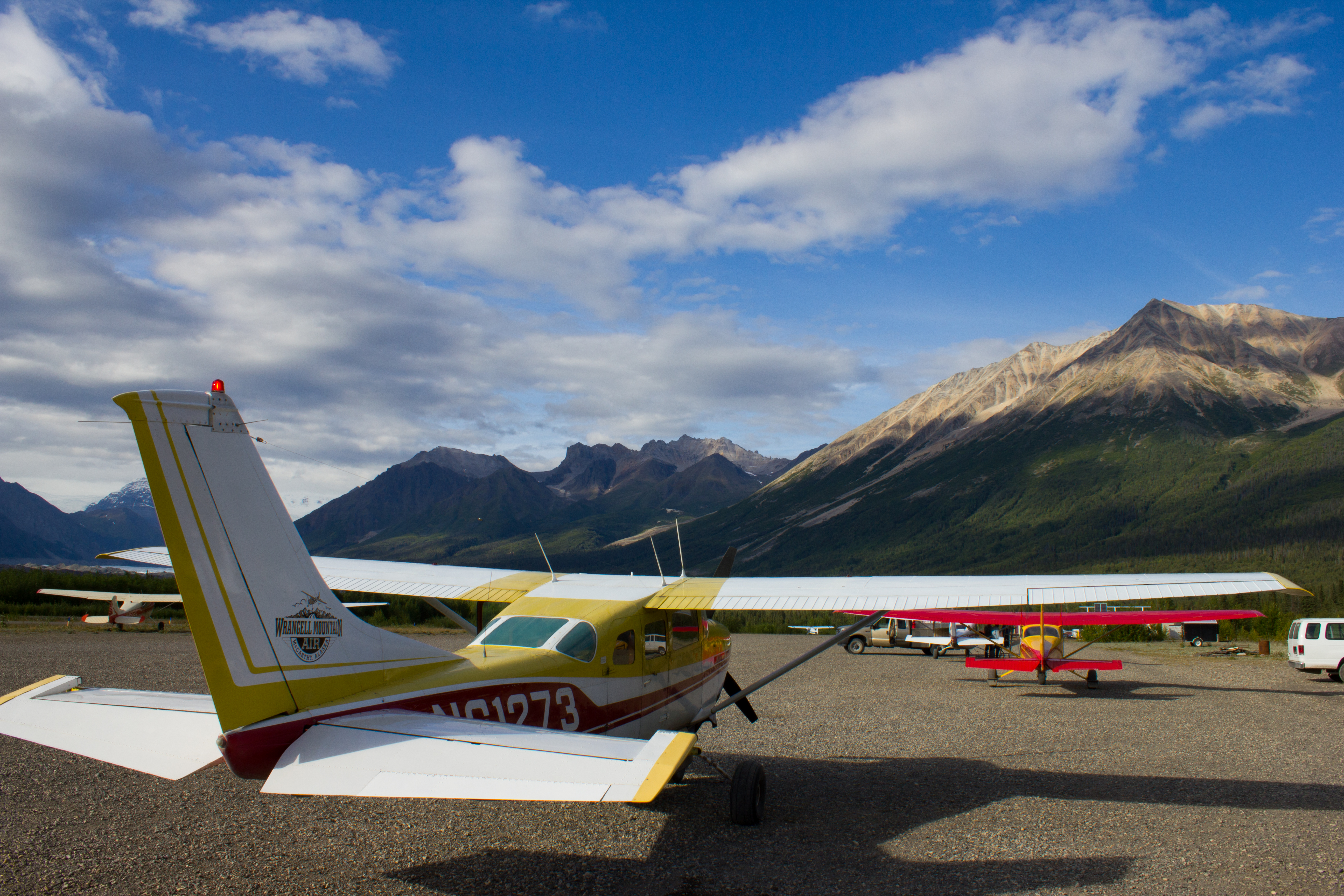
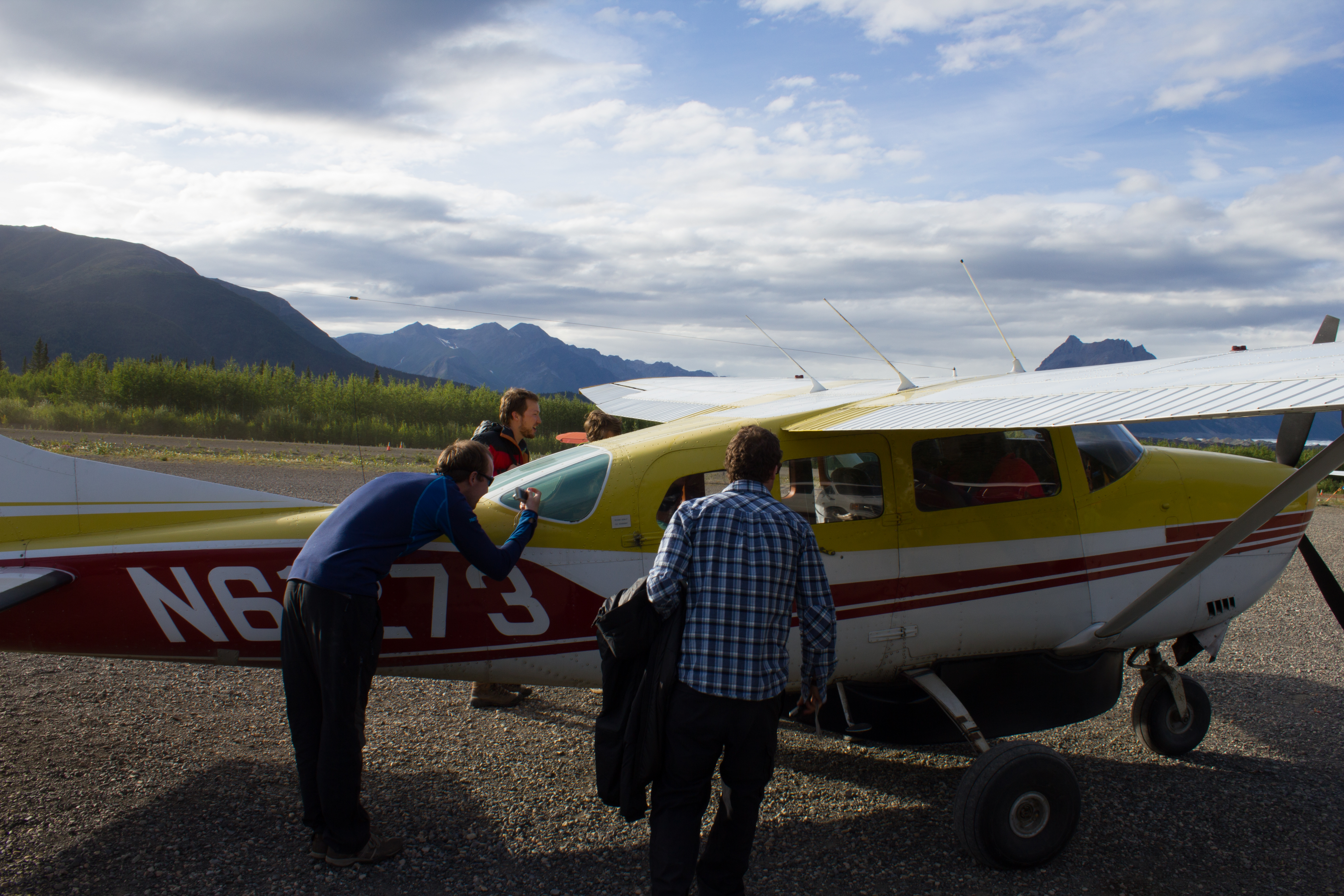
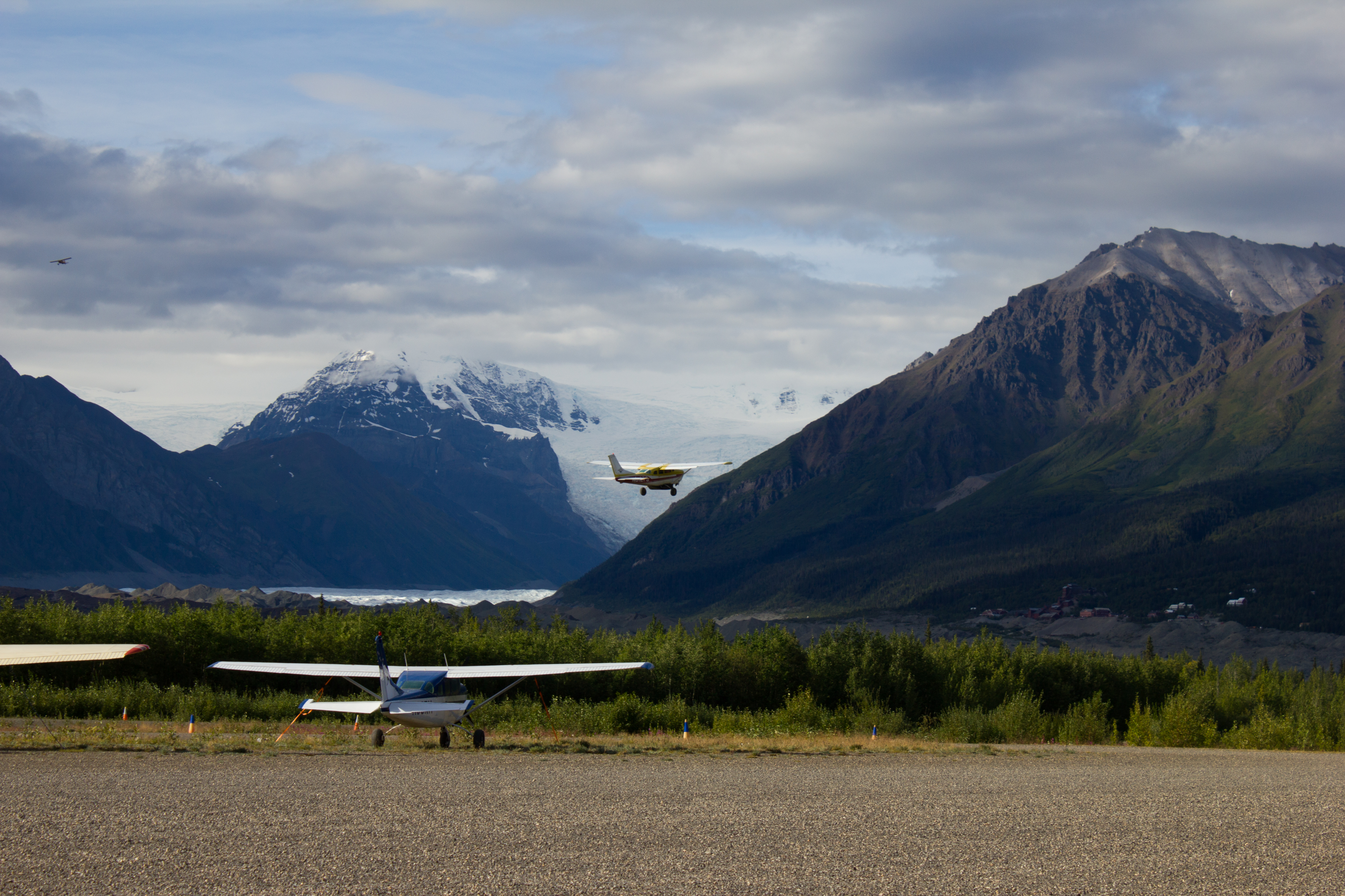
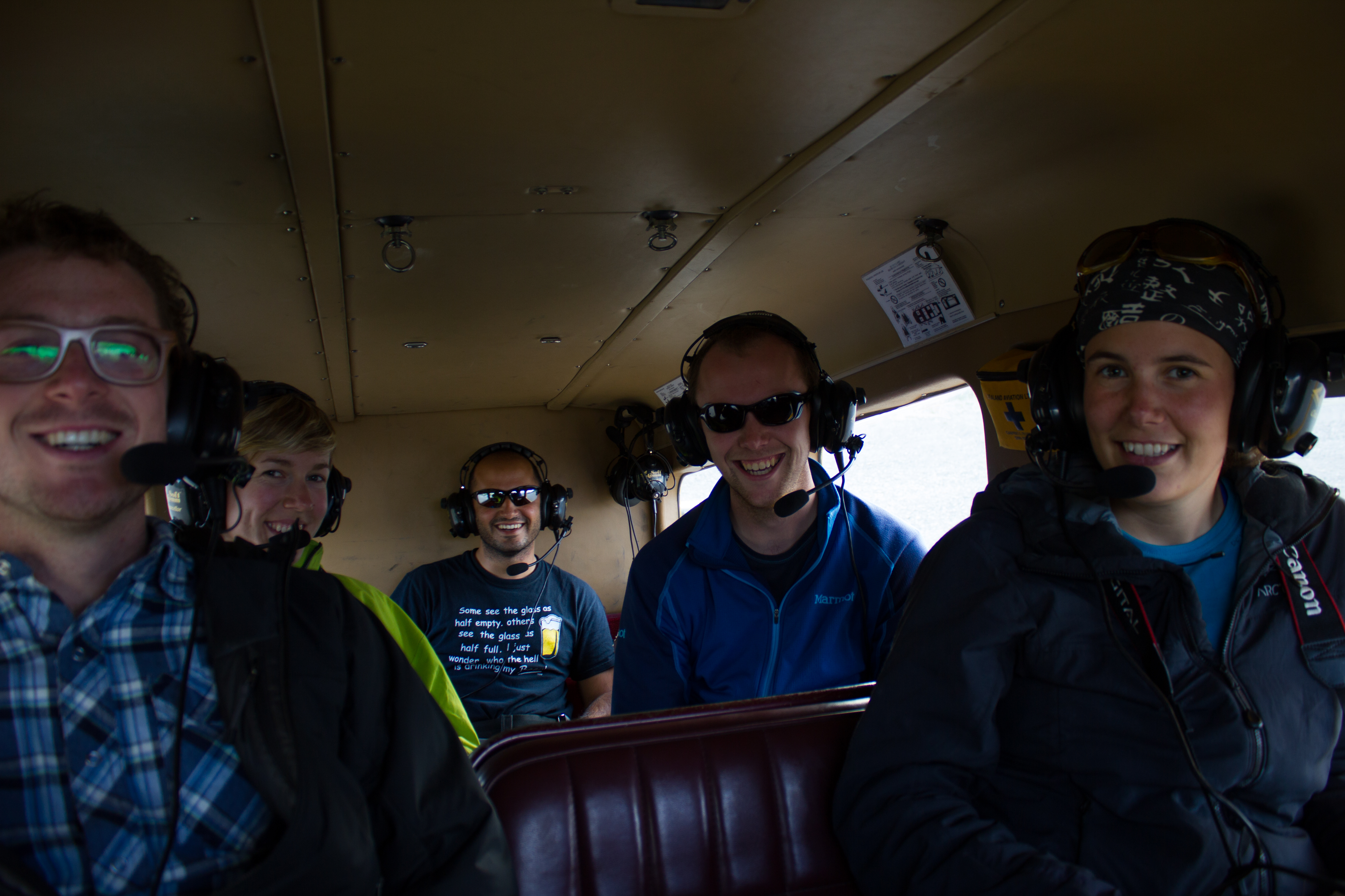
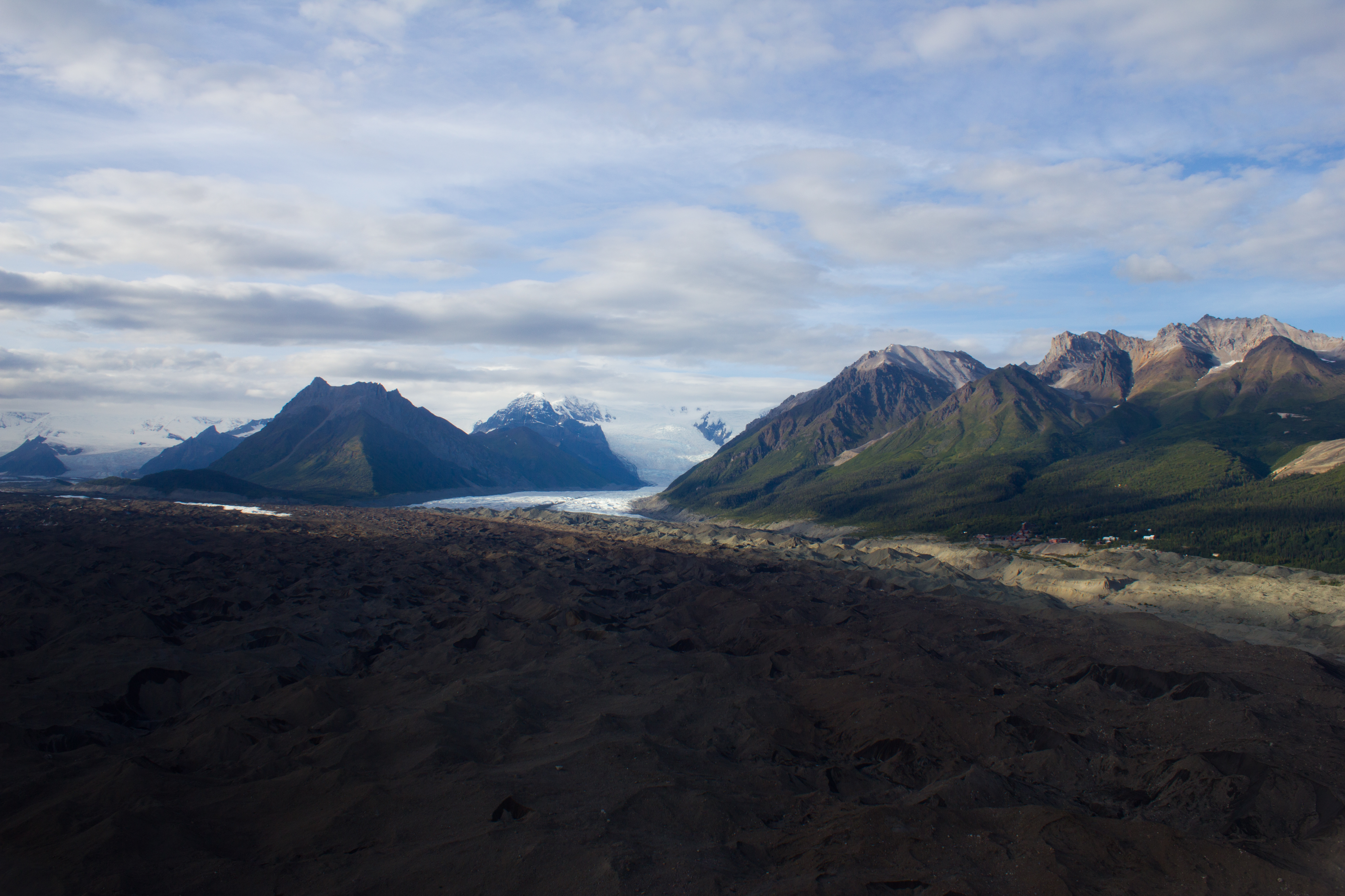
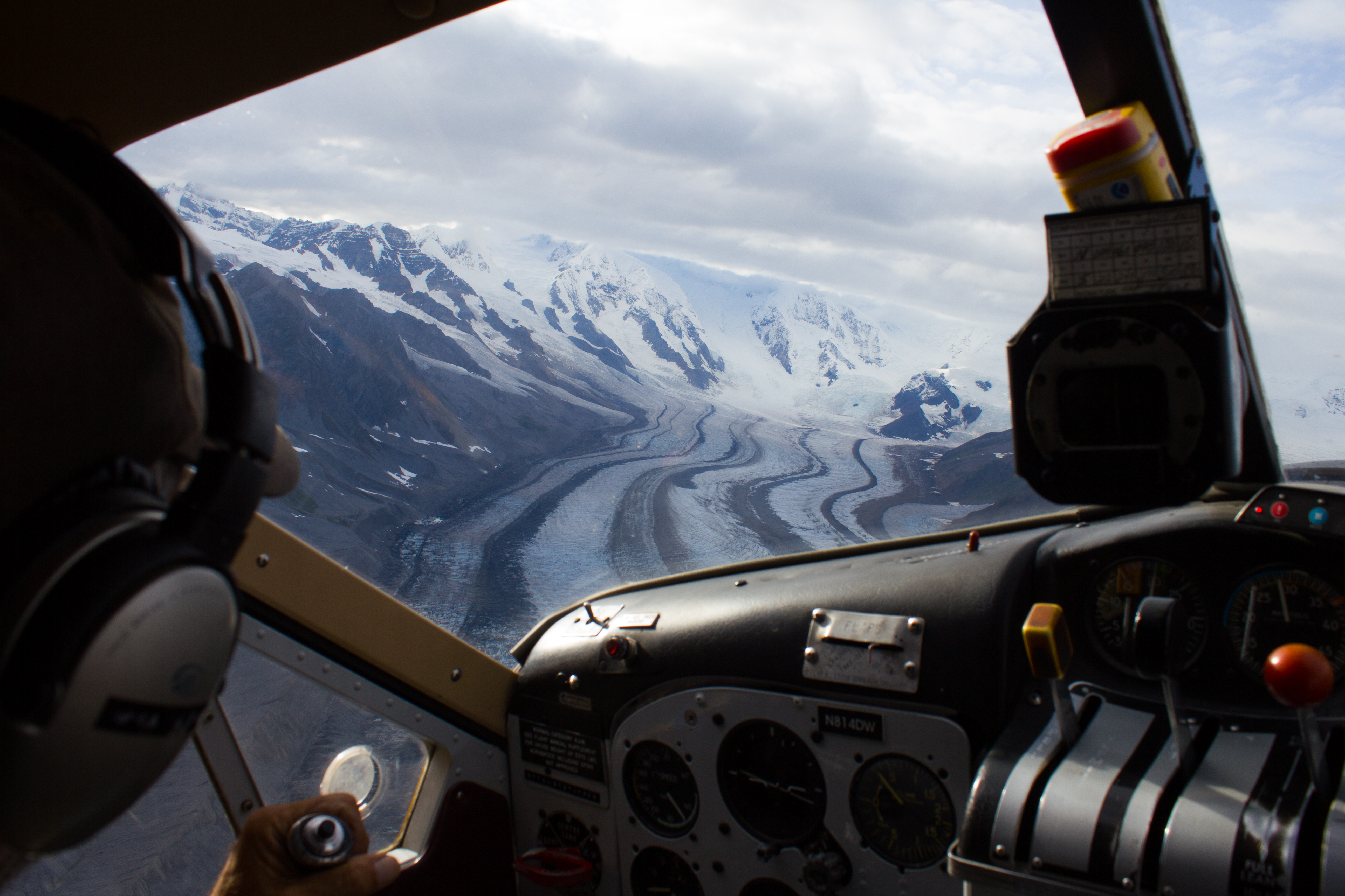
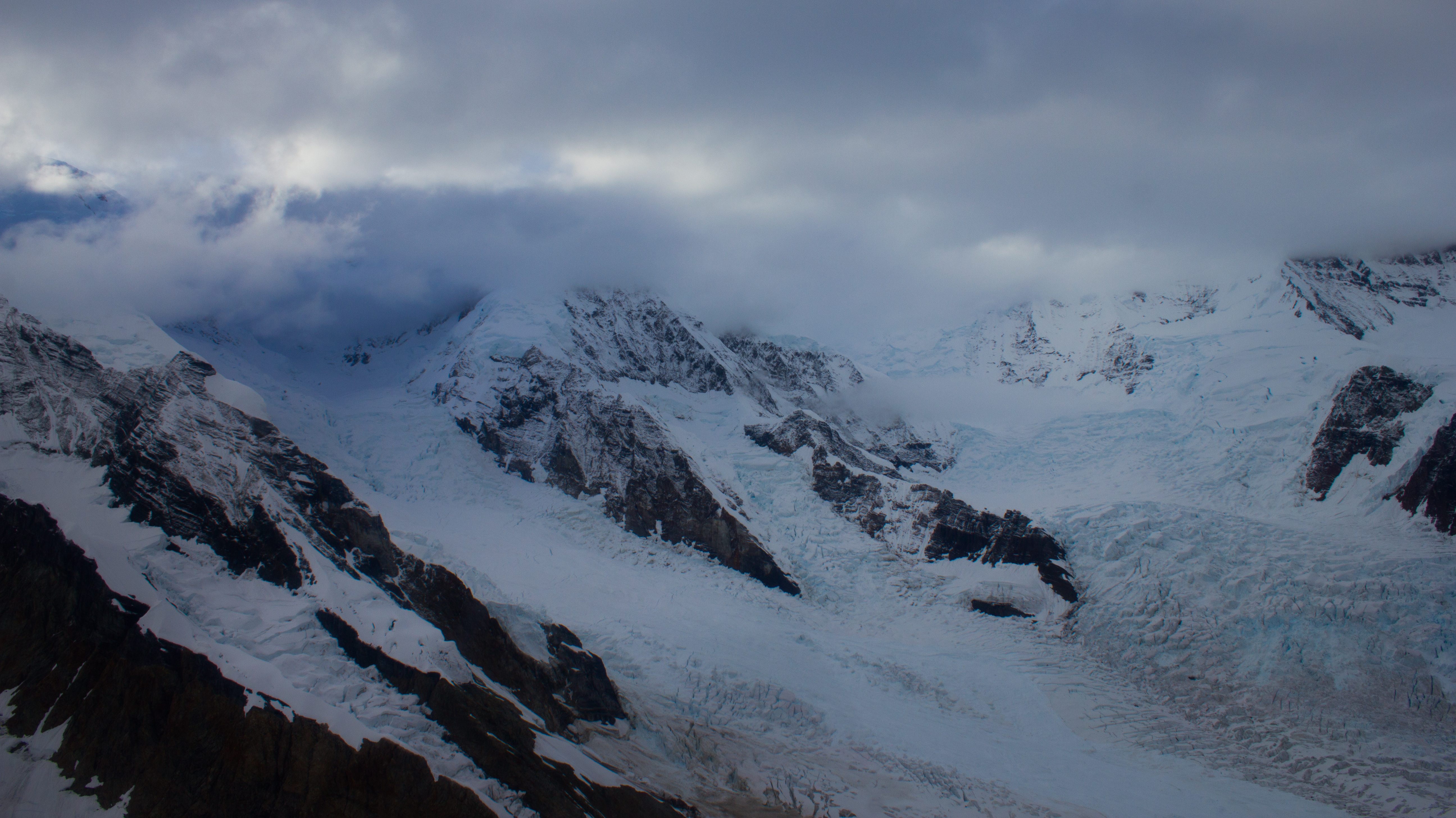
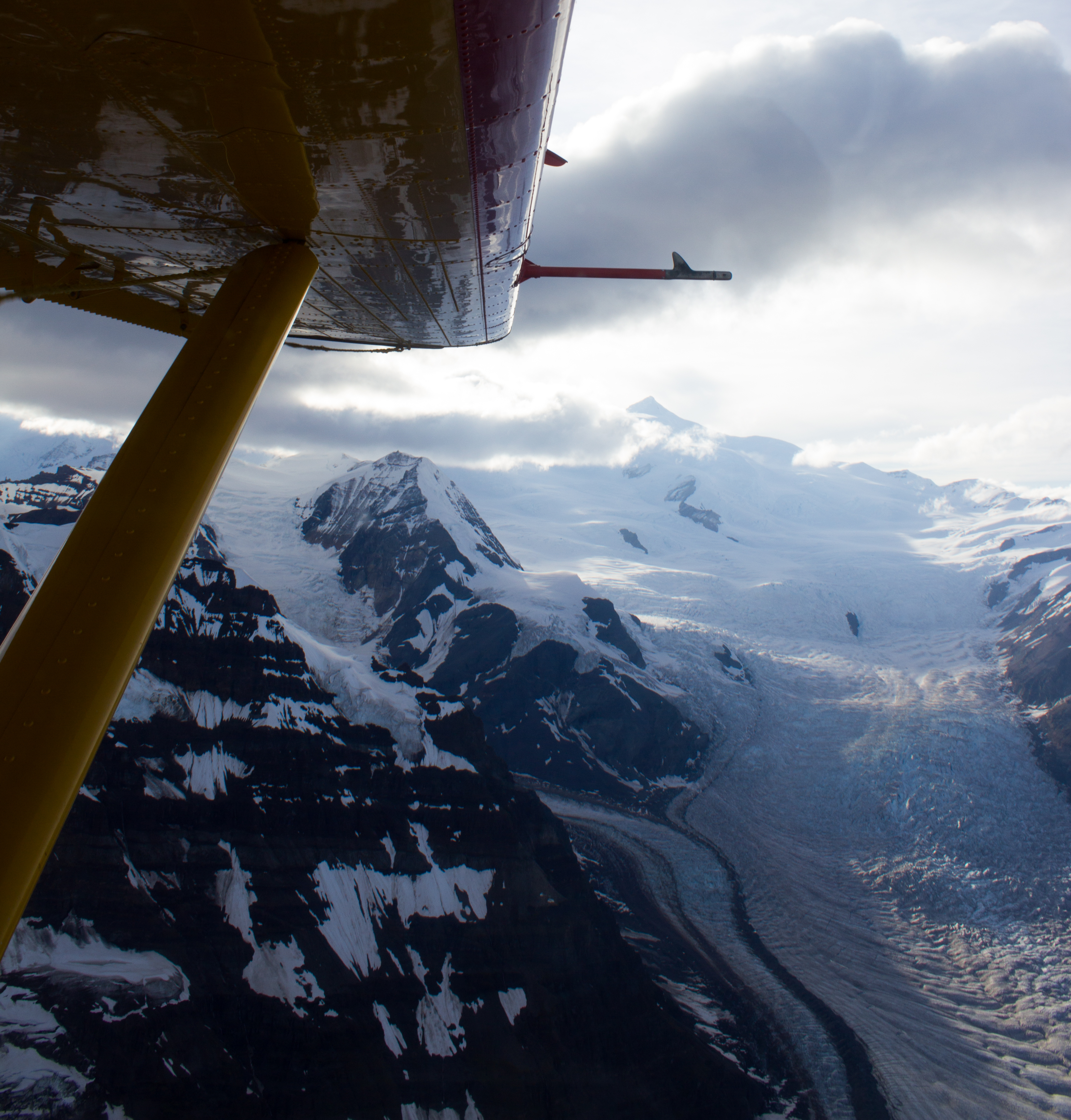
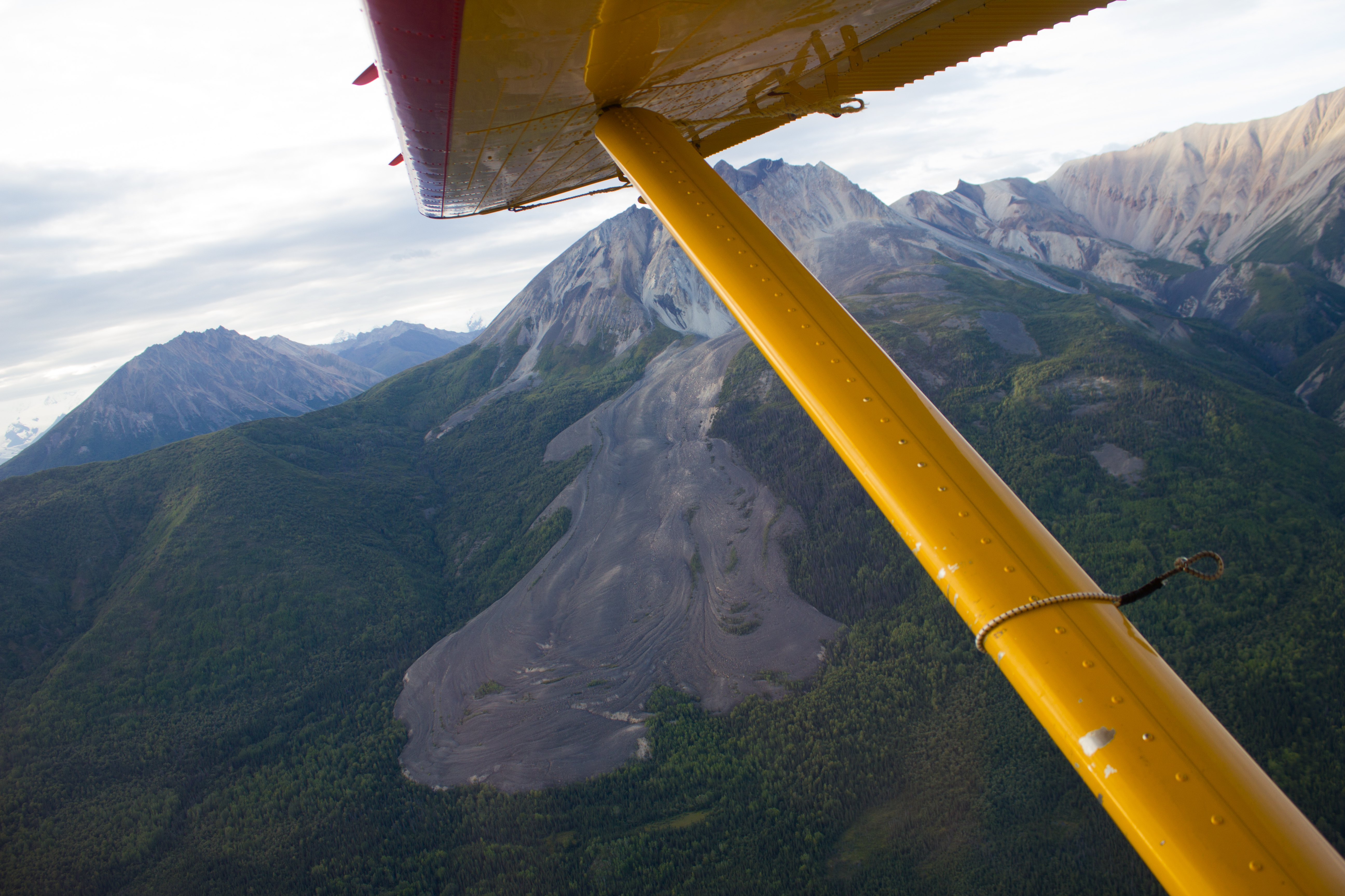
A group of us took advantage of the landing strip in McCarthy, and arranged a flight over the surrounding glaciers and mountains.
The debris covered terminus of the Kennicott glacier. The village of Kennicott can be seen along the right margin.
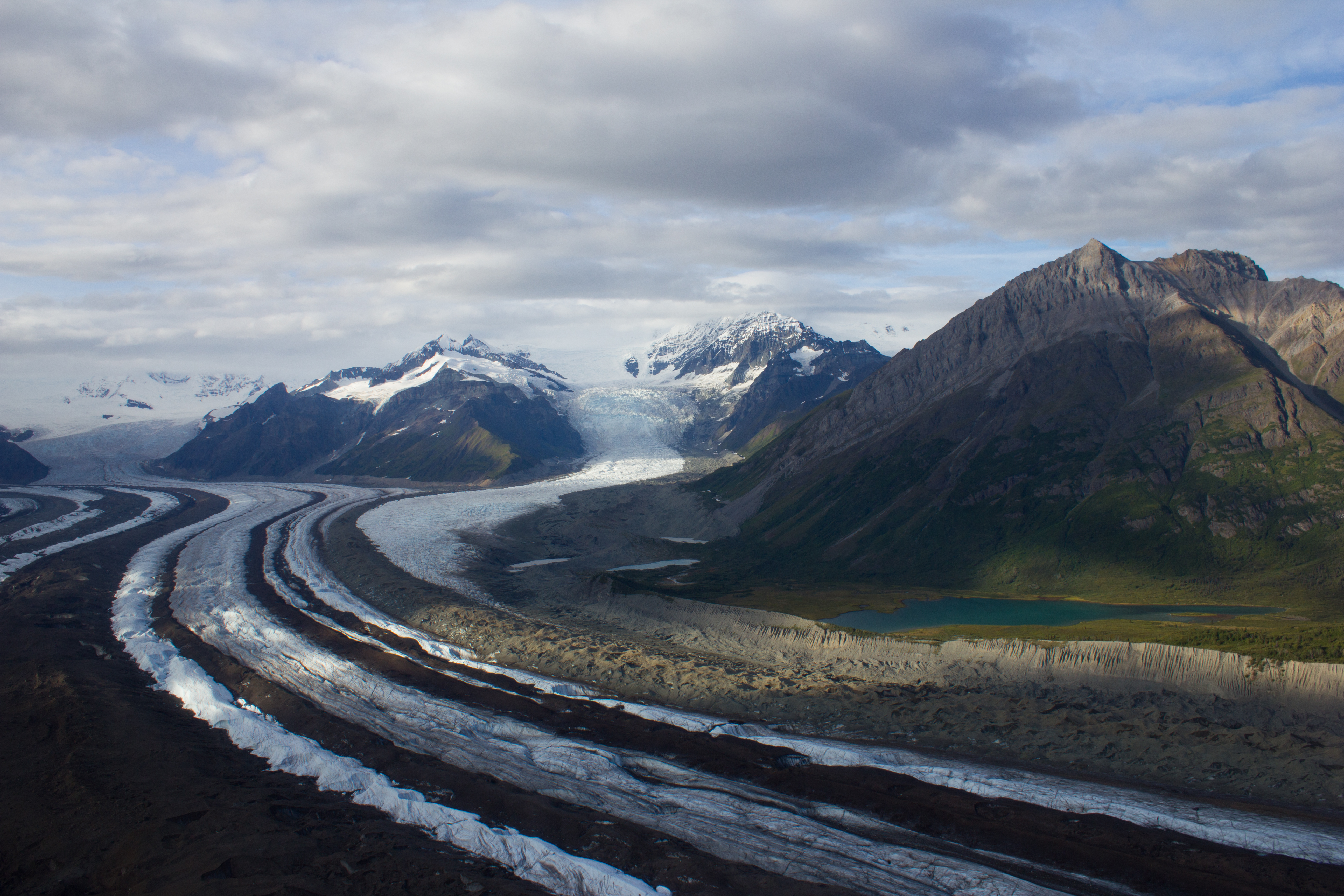
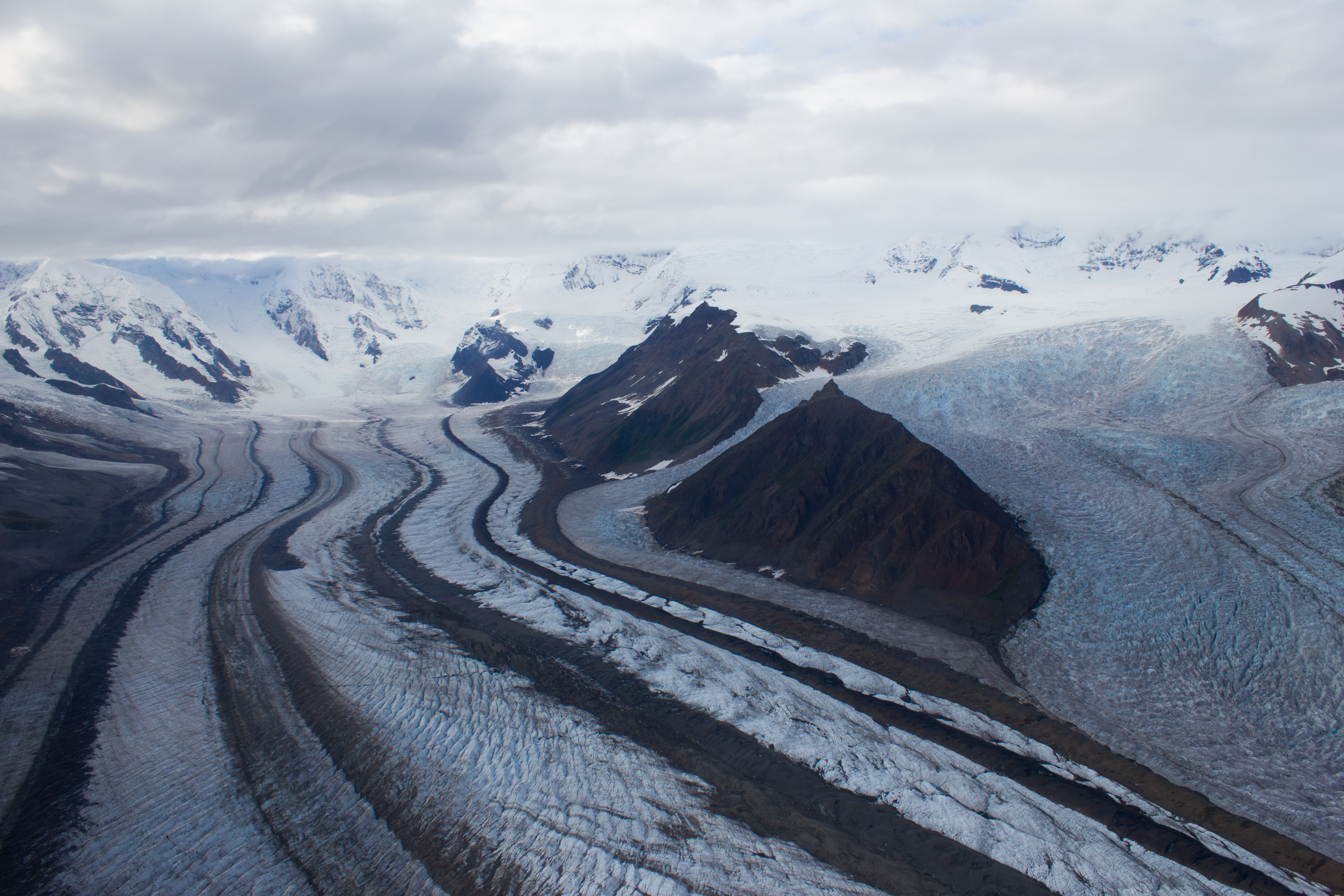
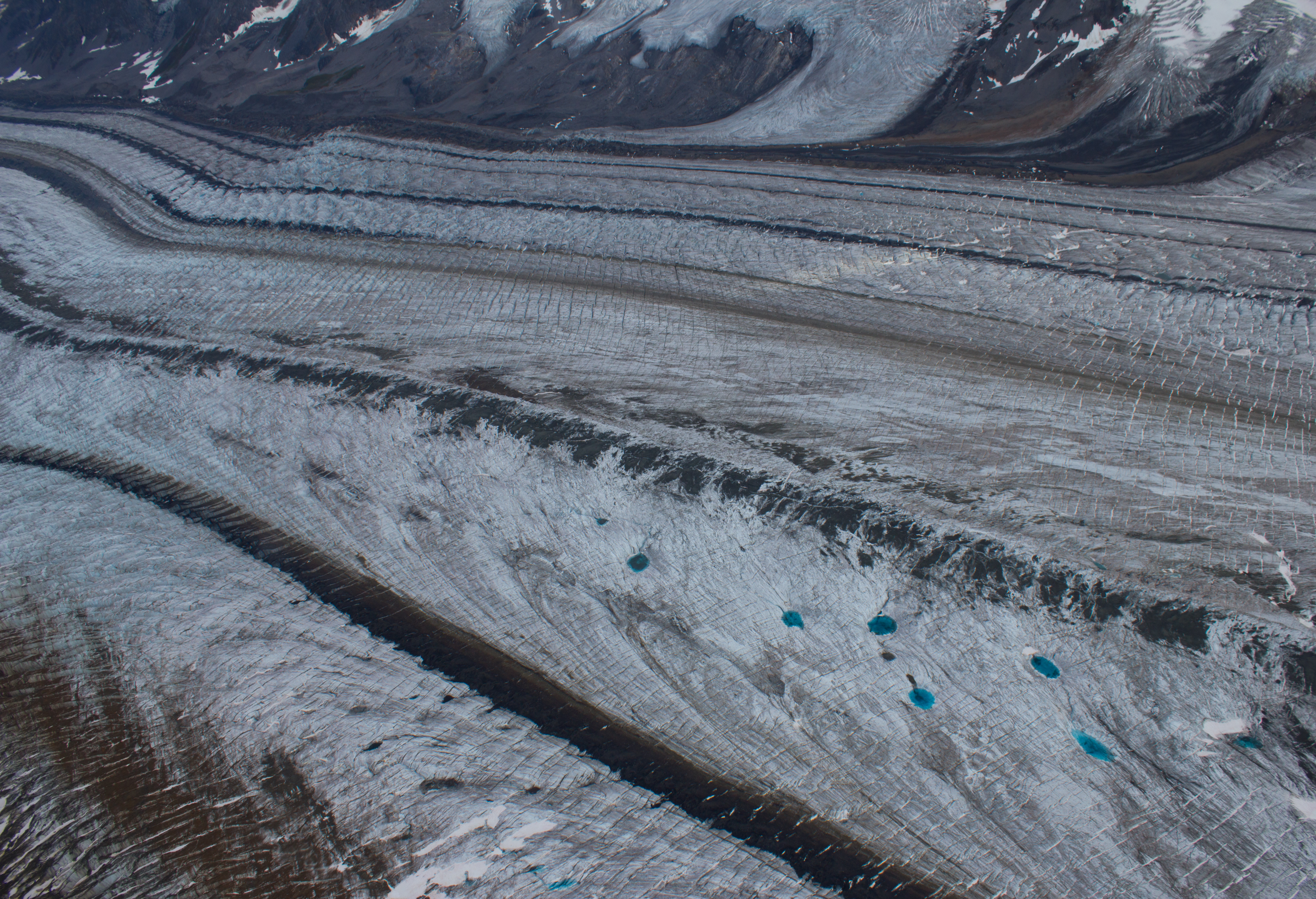
Further up the Kennicott, medial moraines are visible as dark bands on the surface, and are formed by the merging of several tributary glaciers (and their lateral moraines).
Medial moraines and incredibly blue melt water pools.
Since I arrived in Canada six months ago, the majority of my focus has been geared towards the next 8 days. Early tomorrow morning, we leave Vancouver, and aim towards Nordic Mountain. We will first travel to the town of Golden, where we will stay over night, and then load up the helicopter for the flight to the glacier.
Report to follow.
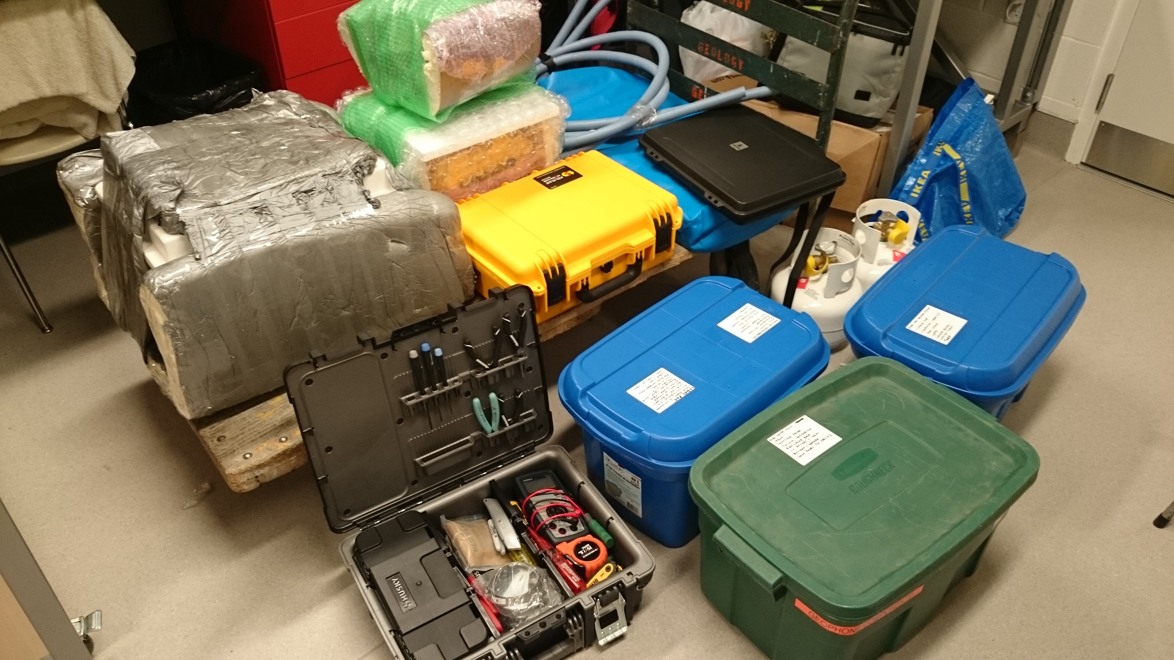
Large items were shipped out in advance last week.The lab, earlier today.My own bags, ready for an early morning departure.
Off the southwest coast of British Columbia, like a breakwater to the Pacific ocean, lies Vancouver Island. It stretches for 480 mountainous, forest-cloaked kilometers; a perfect hideout for a (temporary) jailbreak from the city. I recently crossed the island on a short trip to the coastal village of Tofino, my route taking me westwards through its interior from the port of Nanaimo.
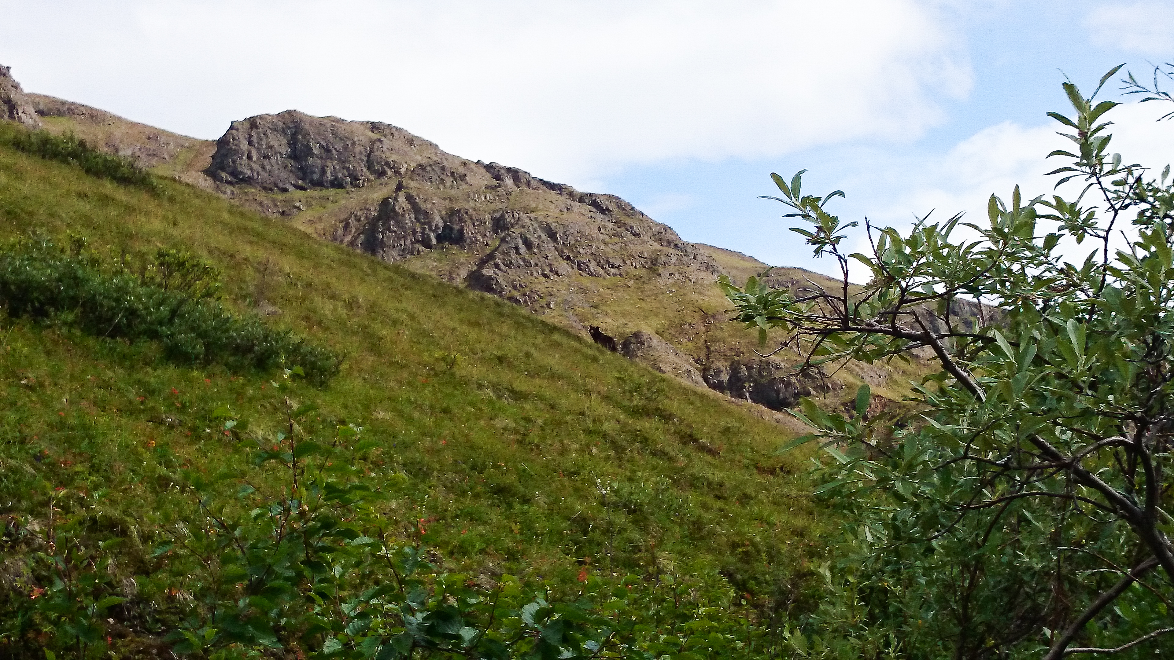
Transecting the island gave me a chance to get an impression of the variety of its landscape, and the wildlife within it, including bears, wolves, whales, and eagles. The images below are really just an opening glance. I had a very narrow window of time to explore, but saw enough to know that the island deserves several longer visits. I will return!
The old growth forest of Cathedral Grove
This Douglas Fir is 76 meters tall, and was already over 300 years old when Christopher Columbus reached North America in 1492.
Sunset at journey’s end, Tofino.
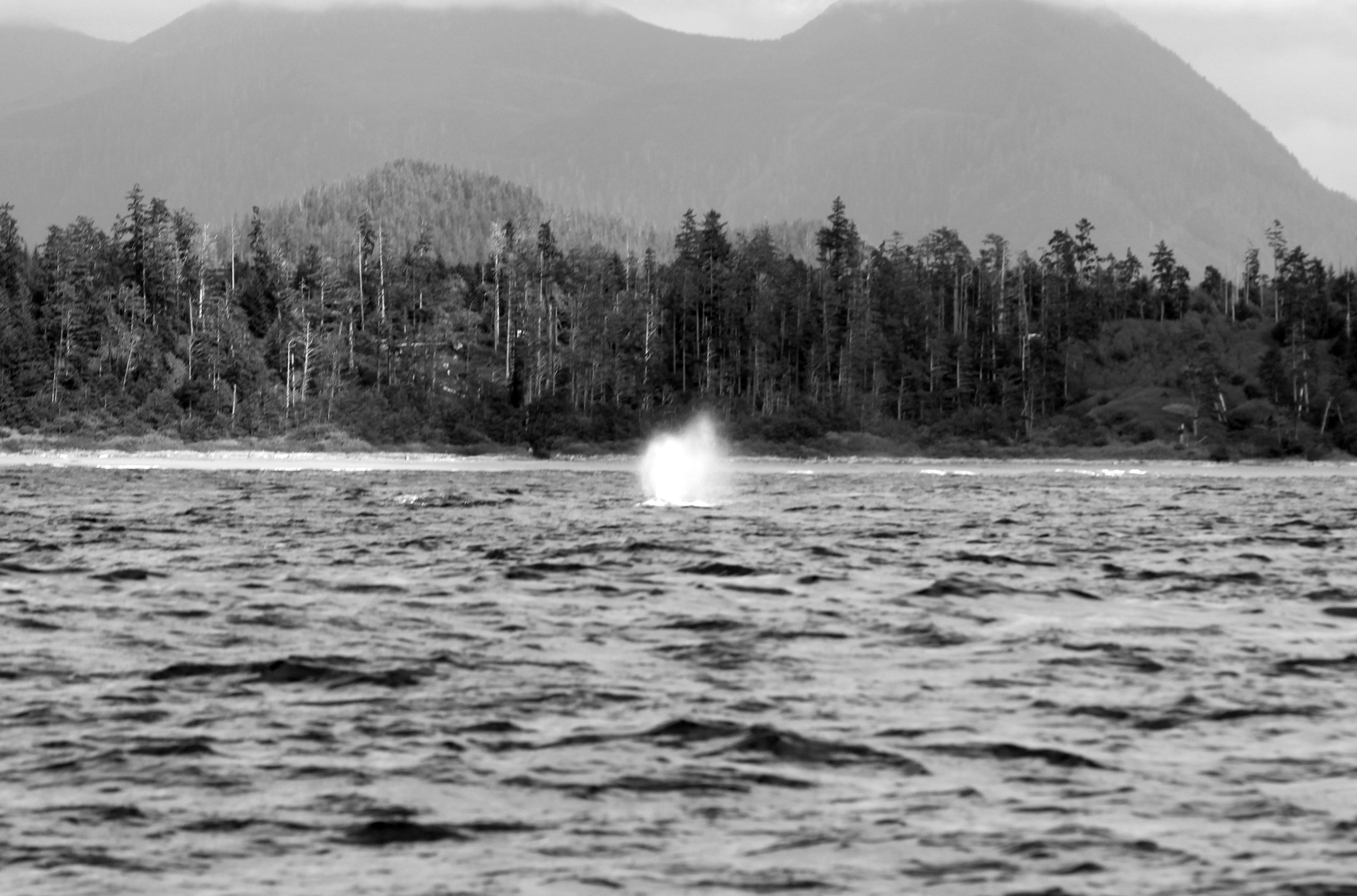
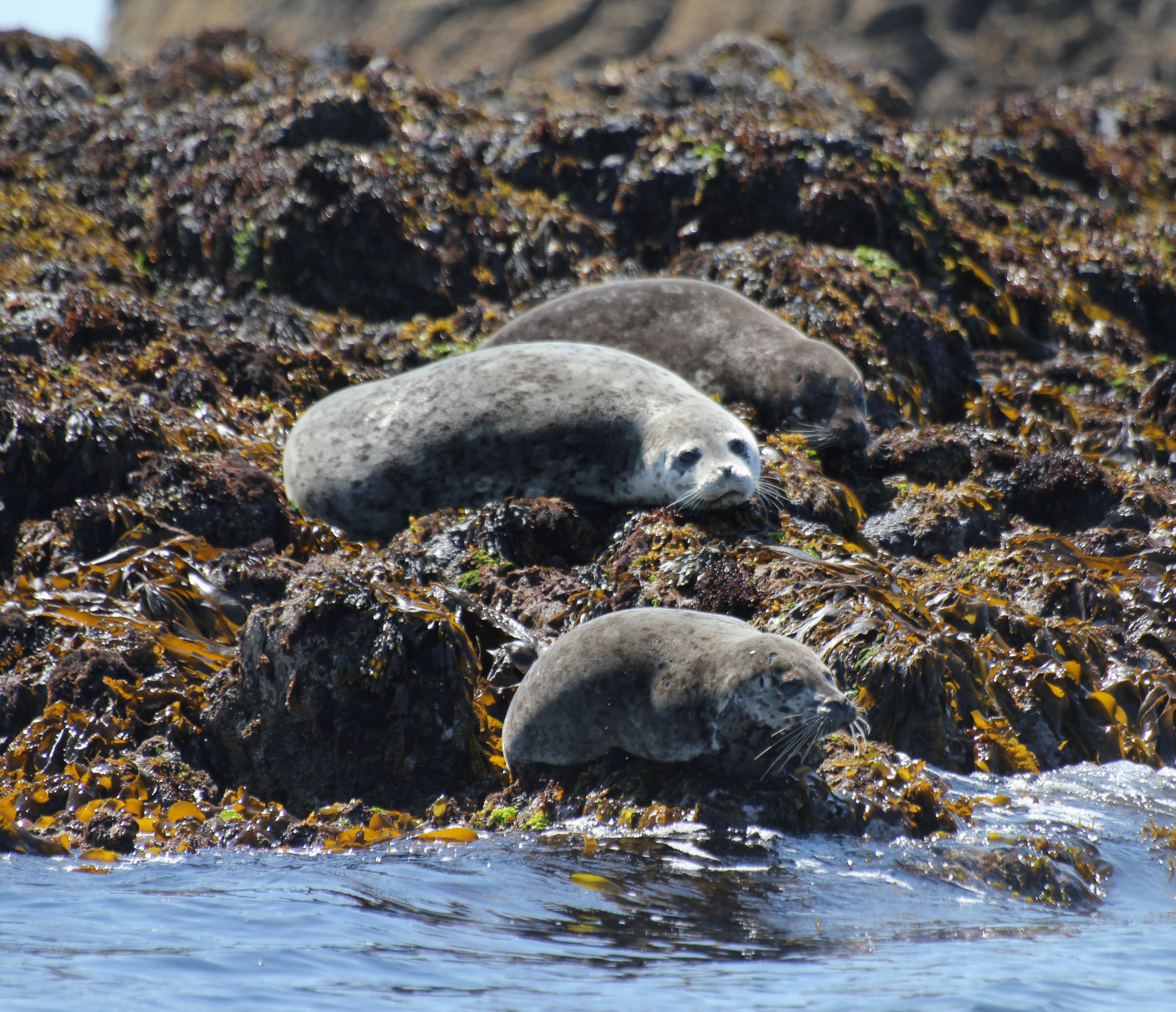
Here, there are whales. Gray, Humpback, and Orca whales can be seen along the coast, depending on season.Bald Eagle, Tofino.A Gray whale fluking its tail, signaling that it is about to dive, and may remain under for anything from 3 to 30 minutes. (On the day I was out, the whales were in a quiet mood, rarely breaching the surface, or only doing so for a split second. Hence, this blurry image is the best I could get!)
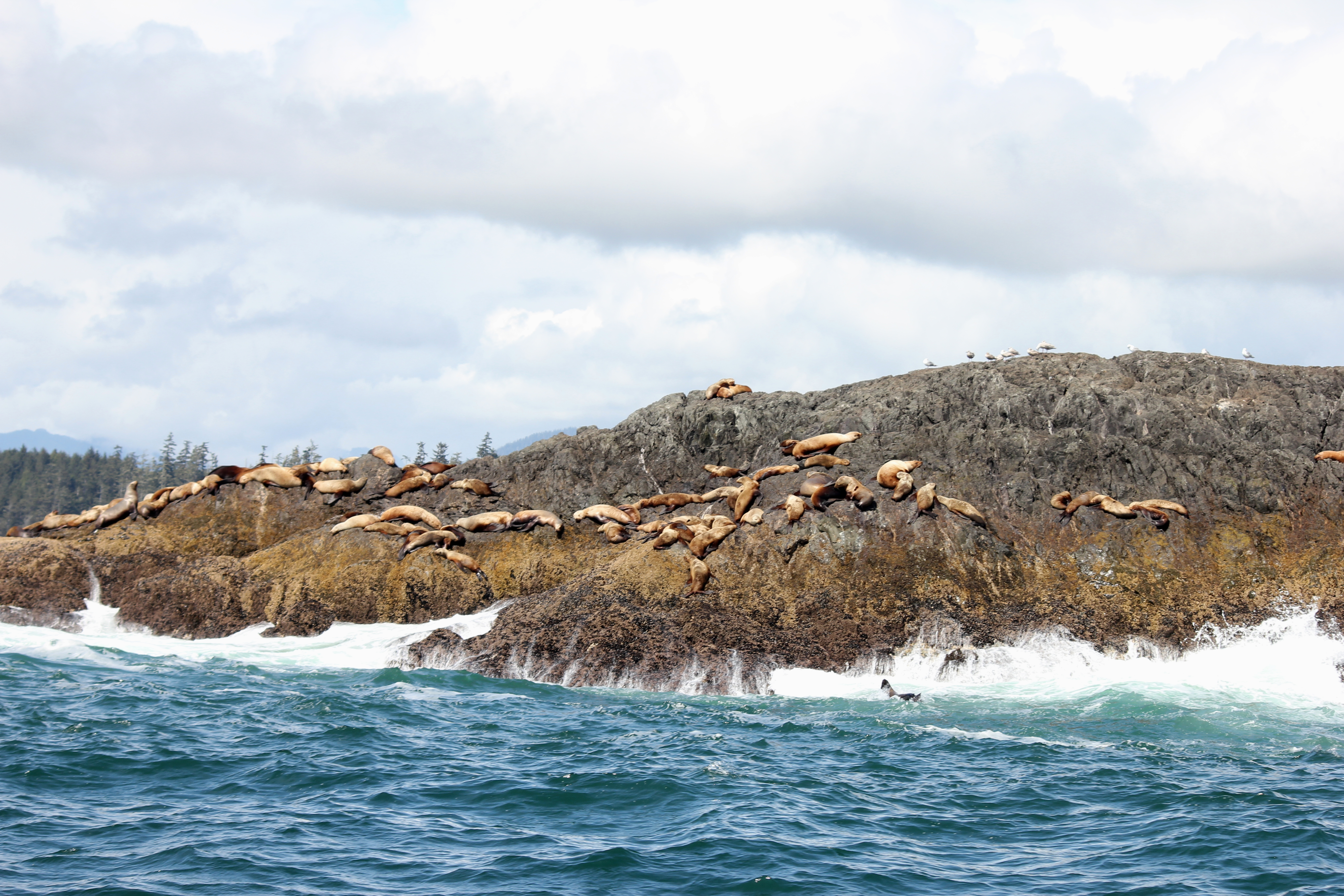
Sea lions, on the coast of Pacific Rim National Park
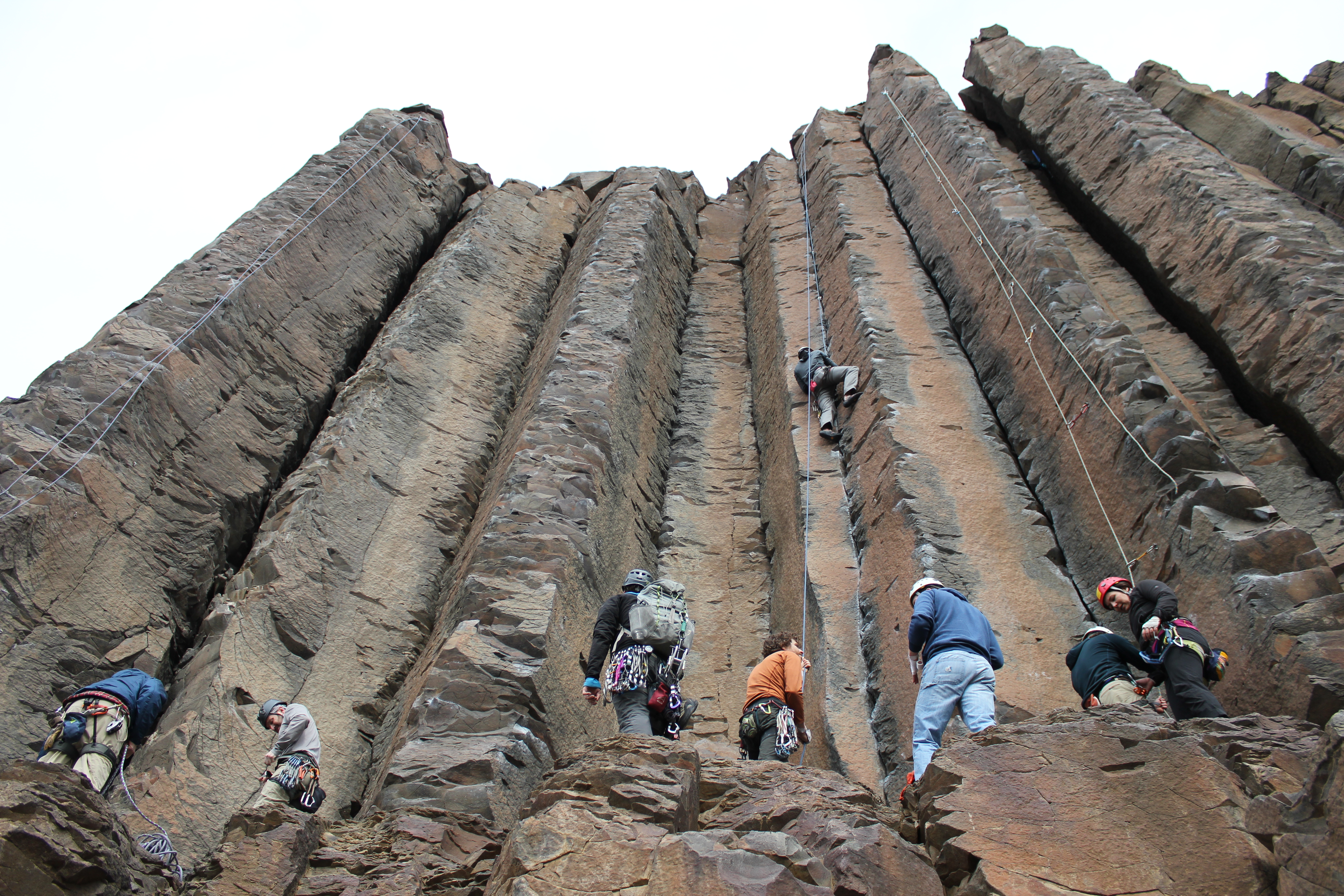
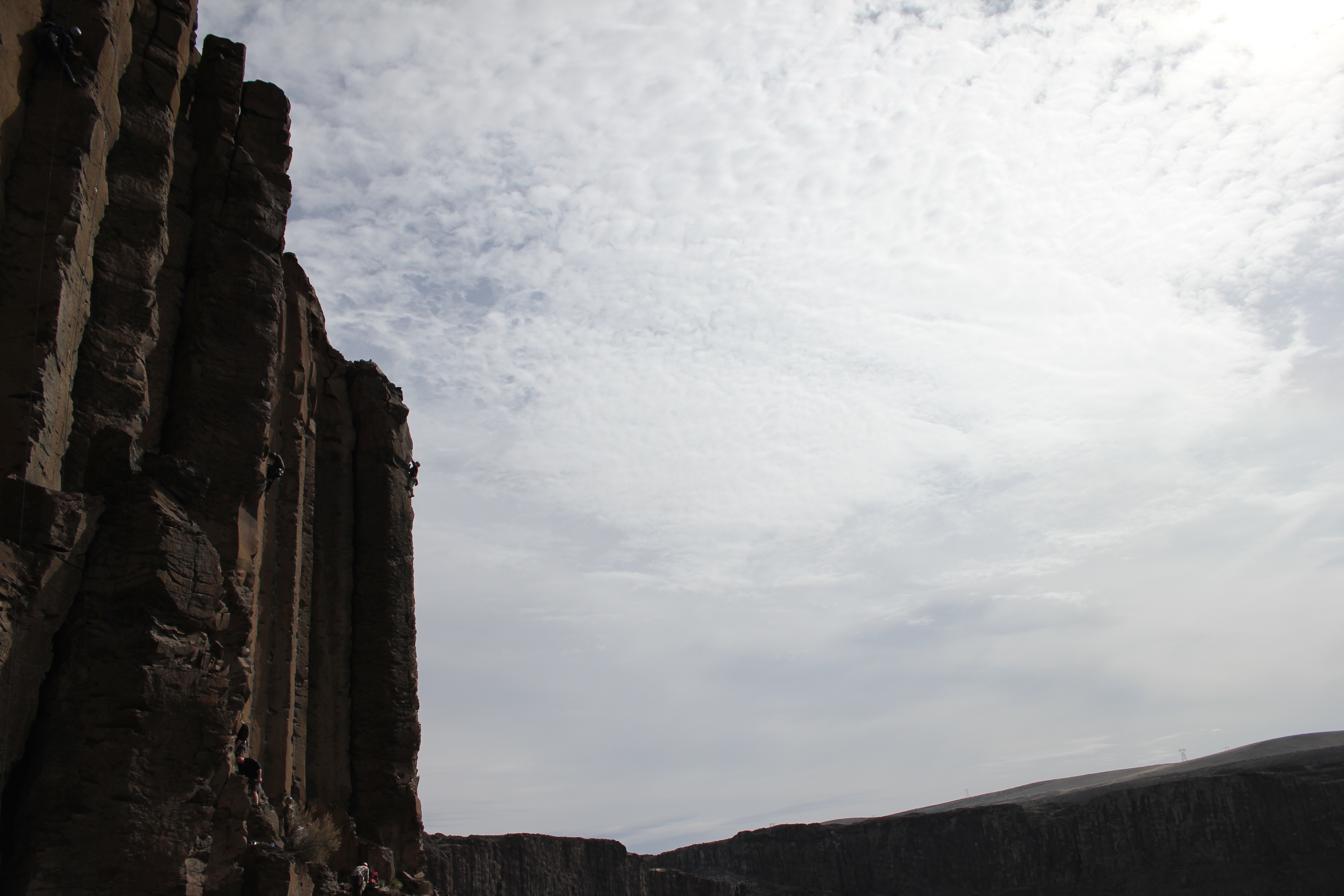
Our destination was south of the 49th parallel, to the home of some of Washington state’s finest rock climbing, Vantage. The drive east from Seattle is a compressed lesson in geography. Leaving behind the moist, cloud catching city on the Pacific coast, the road quickly rises to thread the barrier of the Cascade mountain range. Snow drifts, and white peaks signal the temperature drop as our altitude increases. Descending on the eastern side of the range, the snow vanishes as quickly as it appeared, replaced by a dry, rocky expanse, shielded from the moisture to the west by its lofty neighbours.
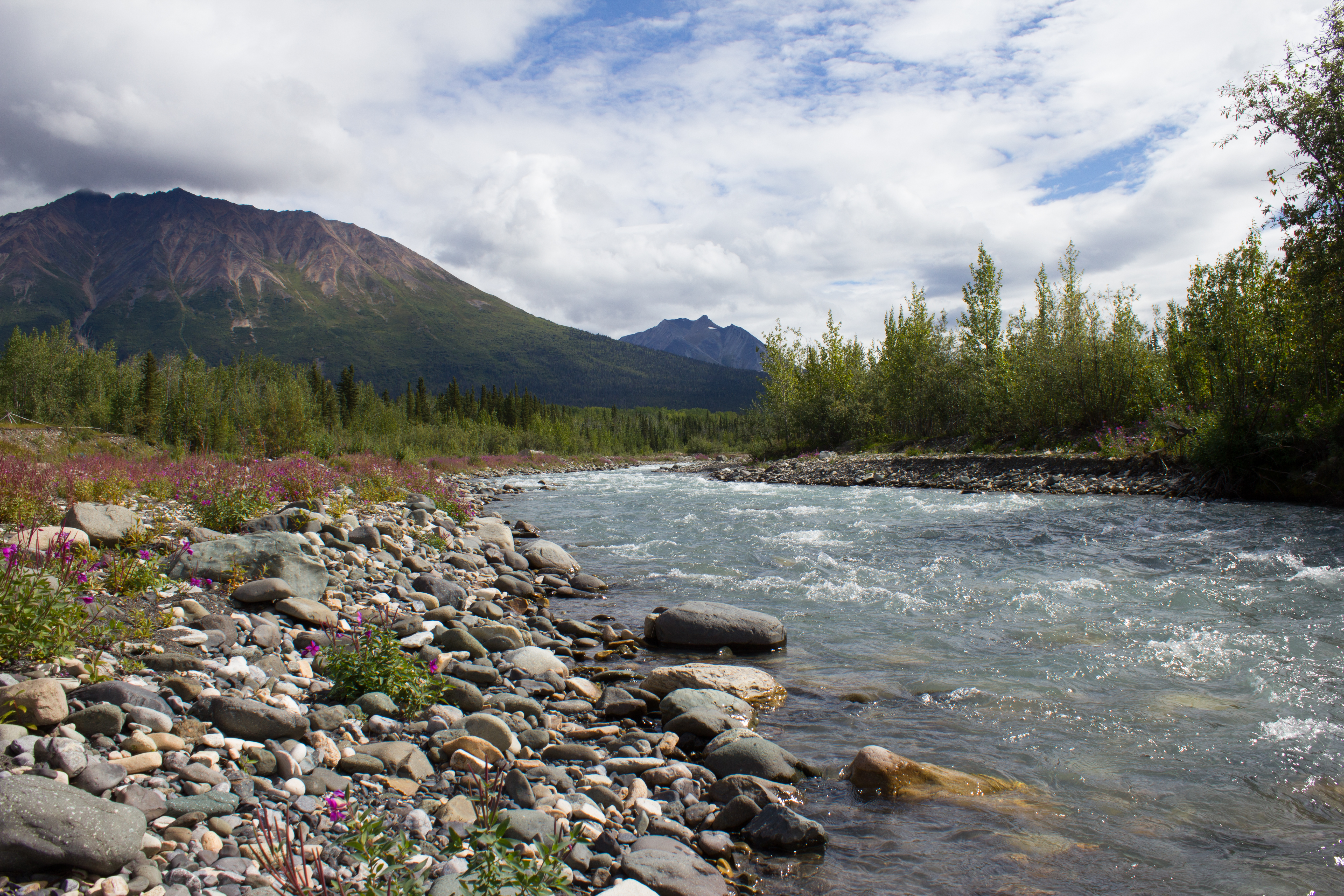
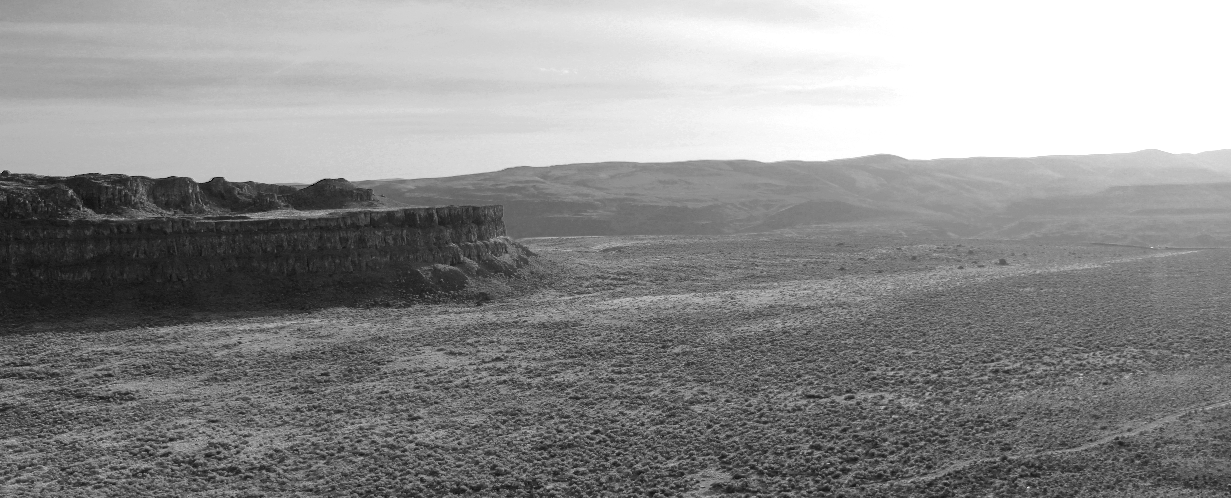
Landscape surrounding Vantage
We were a party of climbers from the University of British Columbia’s Varsity Outdoor Club (UBC VOC), with a plan to escape the inclement weather in Vancouver for a weekend. Having only decided to go the day before, approaching the US border, I had images of paperwork problems, and forcing my Canadian co-passengers to turn around and drop me at the nearest bus route back to Vancouver. In reality, the crossing was seamless; the benefit of an Irish passport. With the 450km drive complete, including a supply stop at the vast wilderness that is the American supermarket, we arrived just before midnight on Friday. Tents up. Bags down. Bed.
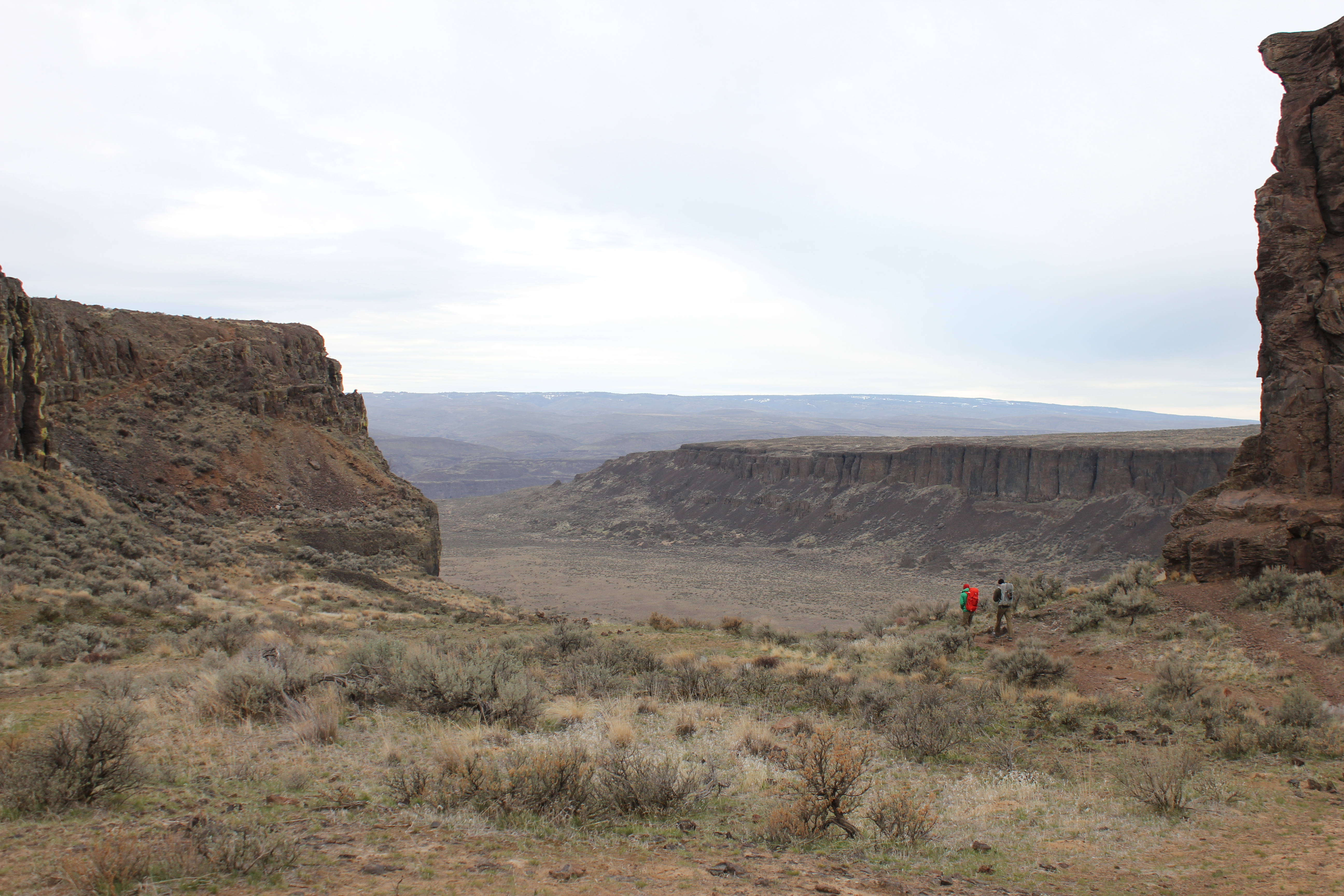
Morning walk in to the climbs on Sunshine Wall.
Restricted access
The climbing in Vantage is predominately located on the basalt columns that make up the cliff faces, giving a huge selection of arête and crack routes, with some good rock faces in between. On Saturday, we focused our efforts on Sunshine Wall, ticking off a few of the classic single pitch routes, and one very enjoyable multi pitch route with an amazing view.
Victor belaying on the first route of the day
Leading the first pitch (photograph by Victor Gan)Sunshine Wall lives up to its name
Time out to take in the surroundings (photograph by Victor Gan)
Climbing, like many things, had been put on the back burner while I was getting ready to move to Canada, and this was my first day on the rock since last summer. I am far from a good climber, but climbing can reward all equally. Once the underlying nerves and fear can be controlled, climbing gifts you with the opportunity to focus solely on the action at hand, remove distractions, and to reset from the loops that your mind can get stuck in during day to day life. And when all the swearing and scraping is done, it feels pretty epic to get to the top too.
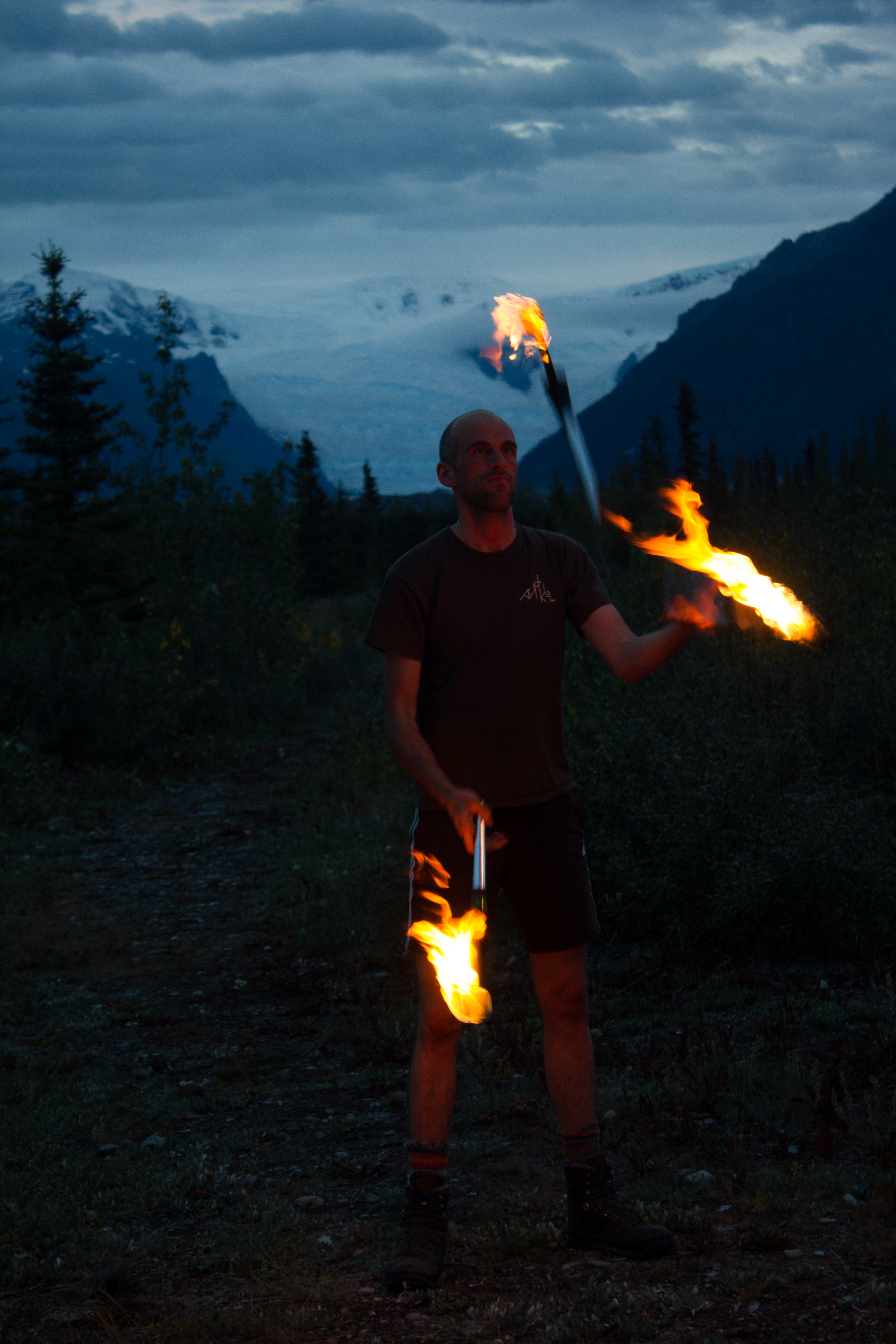
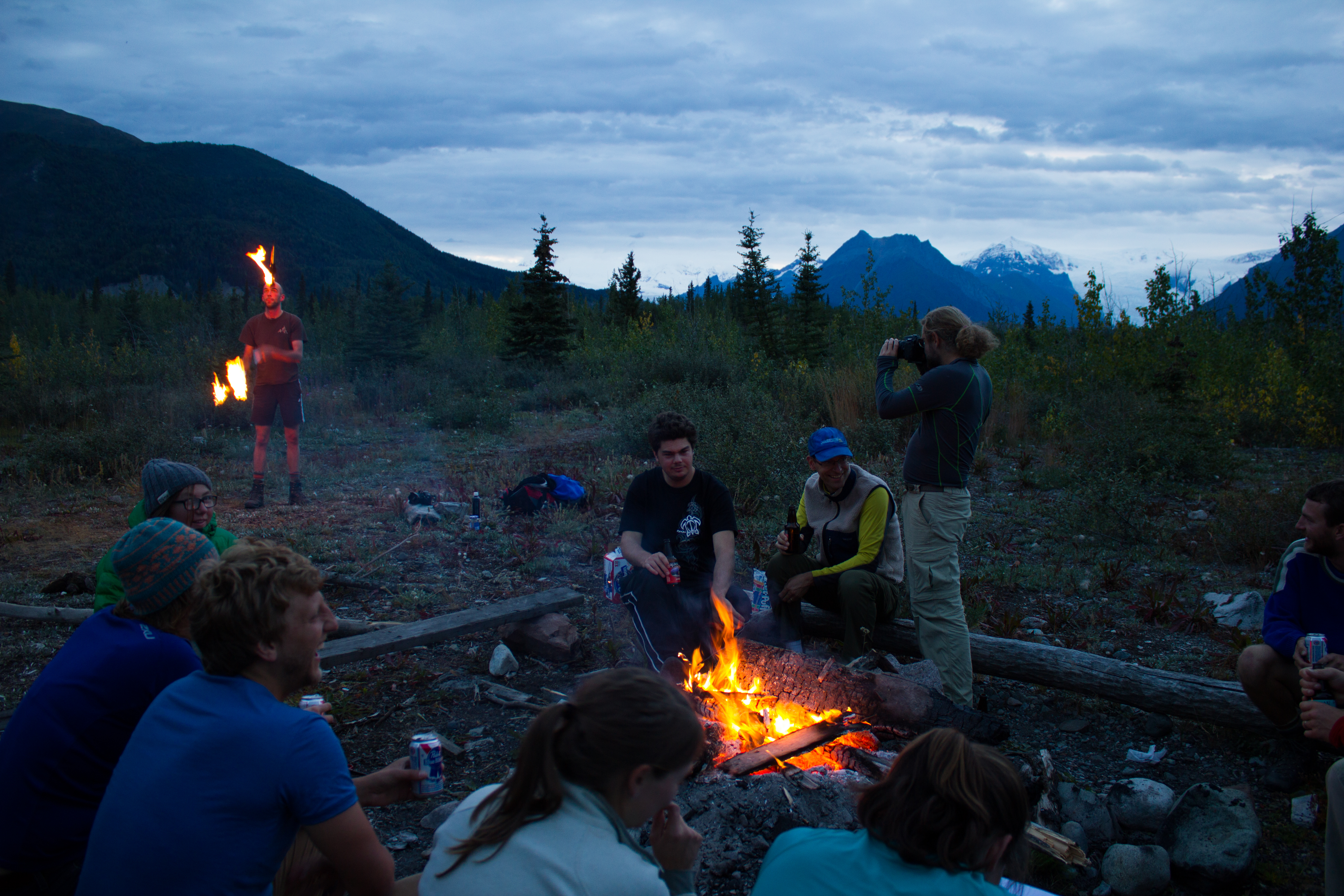
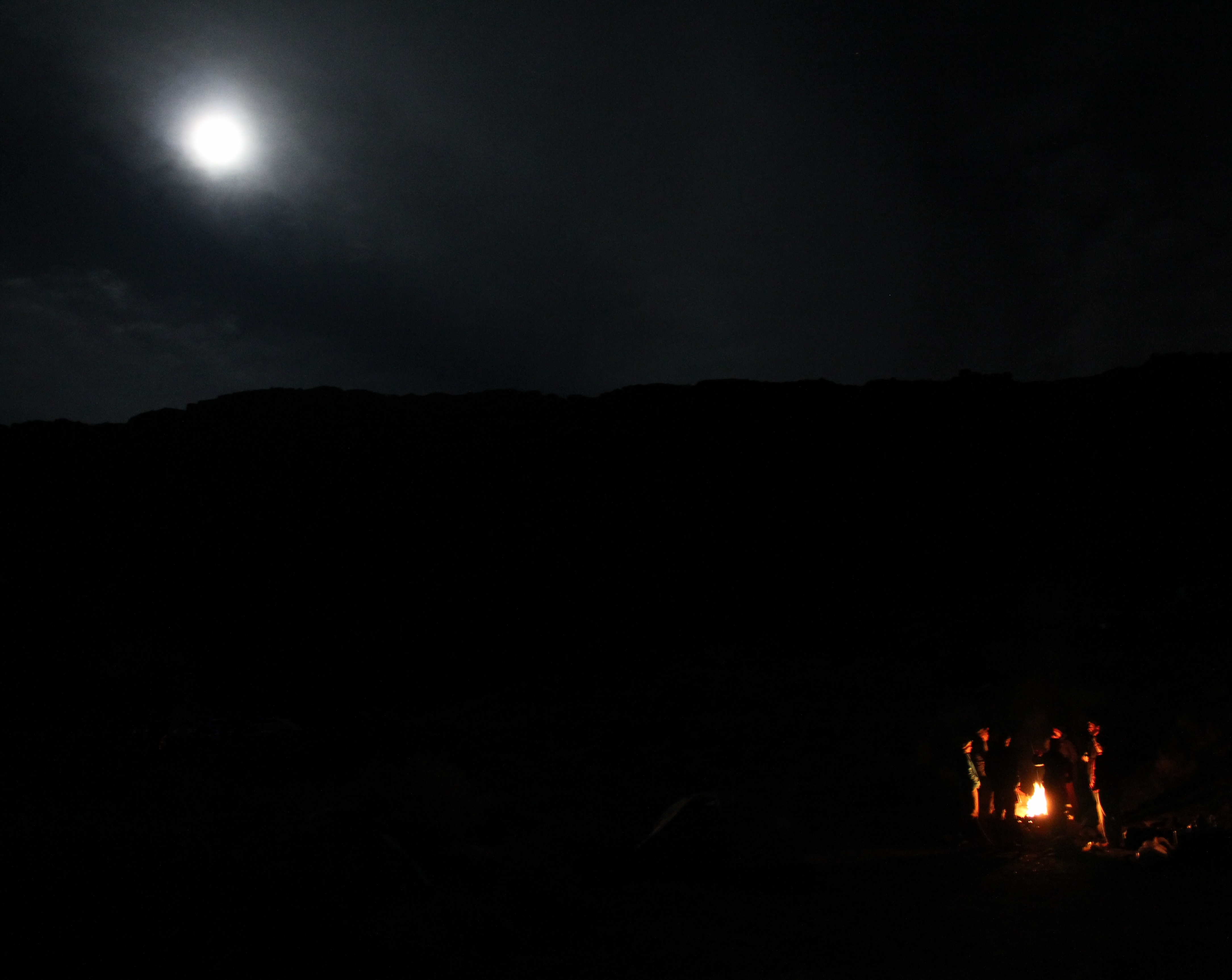
The day ended like all good camping days should, with a big feed, a social fire, and a warm sleeping bag.
Stars emergeHarmony in camp
Saturday night was not without incident, the stillness punctuated with occasional distant but powerful booms, which we learned later were from artillery testing taking place in the region. We had our own pyrotechnics closer to hand, with what appeared to be a very sizeable gas canister explosion in another group’s camp. After a pause, the sound of hysterical drunken laughter drifting through the smoke assured us that all was well.
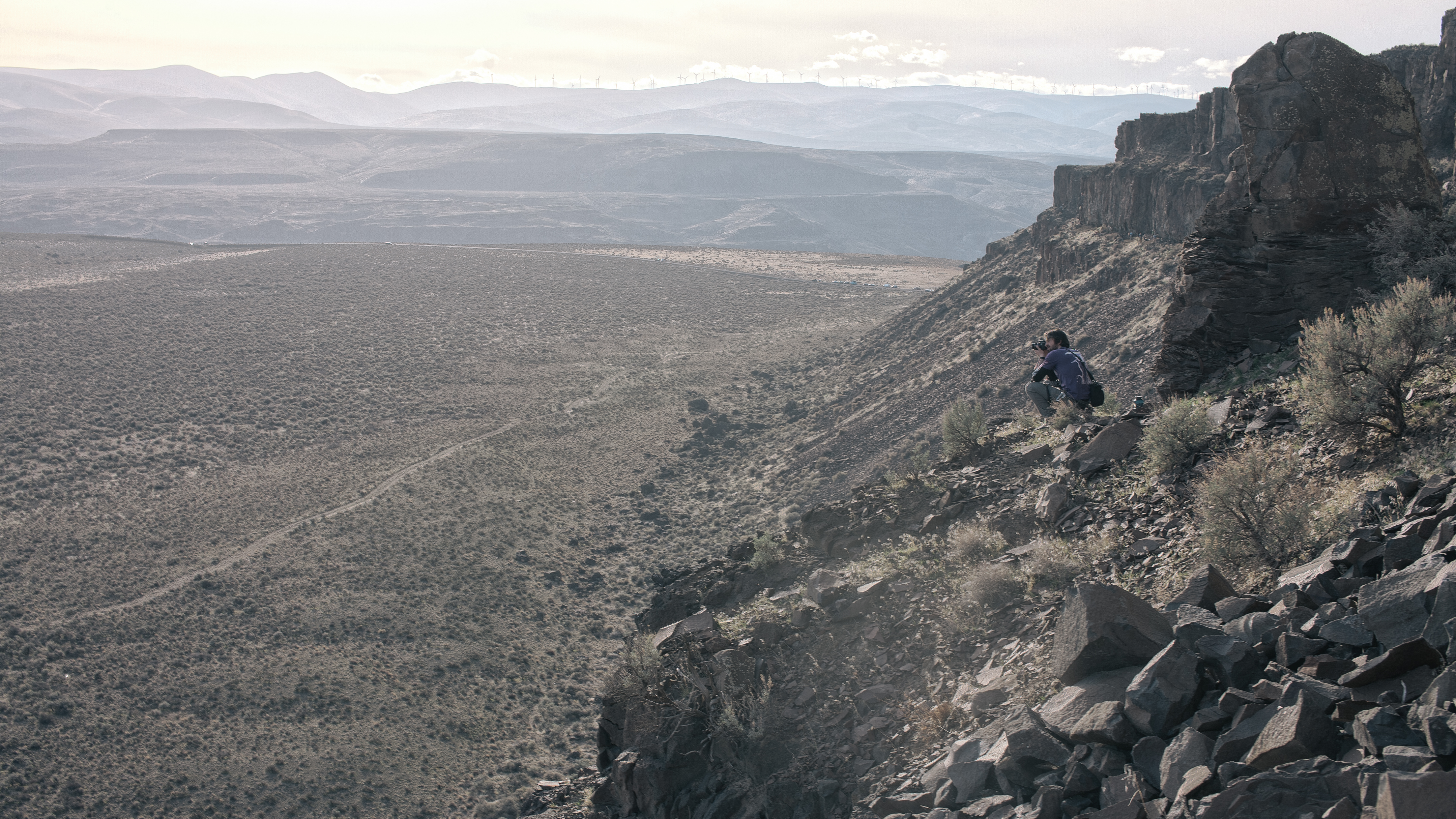
Sunday morning started as Saturday finished, with beautiful sunshine. Stocking up on vitamin D, and with a plan to hit the road at noon, we headed out early to a rock section overlooking our camp, known as the Feathers. In the more laid back atmosphere of a Sunday morning, we worked our way through three or four short but technical routes, and soaked up as much of the desert ambience as we could before we had to load up, and head out.
Climbing in the morning sunLast move on the last route
This trip was my first to the United States (apart from flight stopovers). A combination of striking surroundings, friendly locals, and some exciting climbing, made it memorable, and left me with a positive impression, despite the reminders coming from the sounds in the distance. More importantly, it achieved the goal I hope for the most when I travel. I felt like I was somewhere completely different.
Approaching the Columbia river crossing on the way out