I recently submitted an entry to a one minute research film competition (NSERC Science Action). The objective was to present a broad outline of your research to a general audience in 60 seconds. It’s a bit of a rushed production, but I hope the overall message is clear. Feel free to view and share.
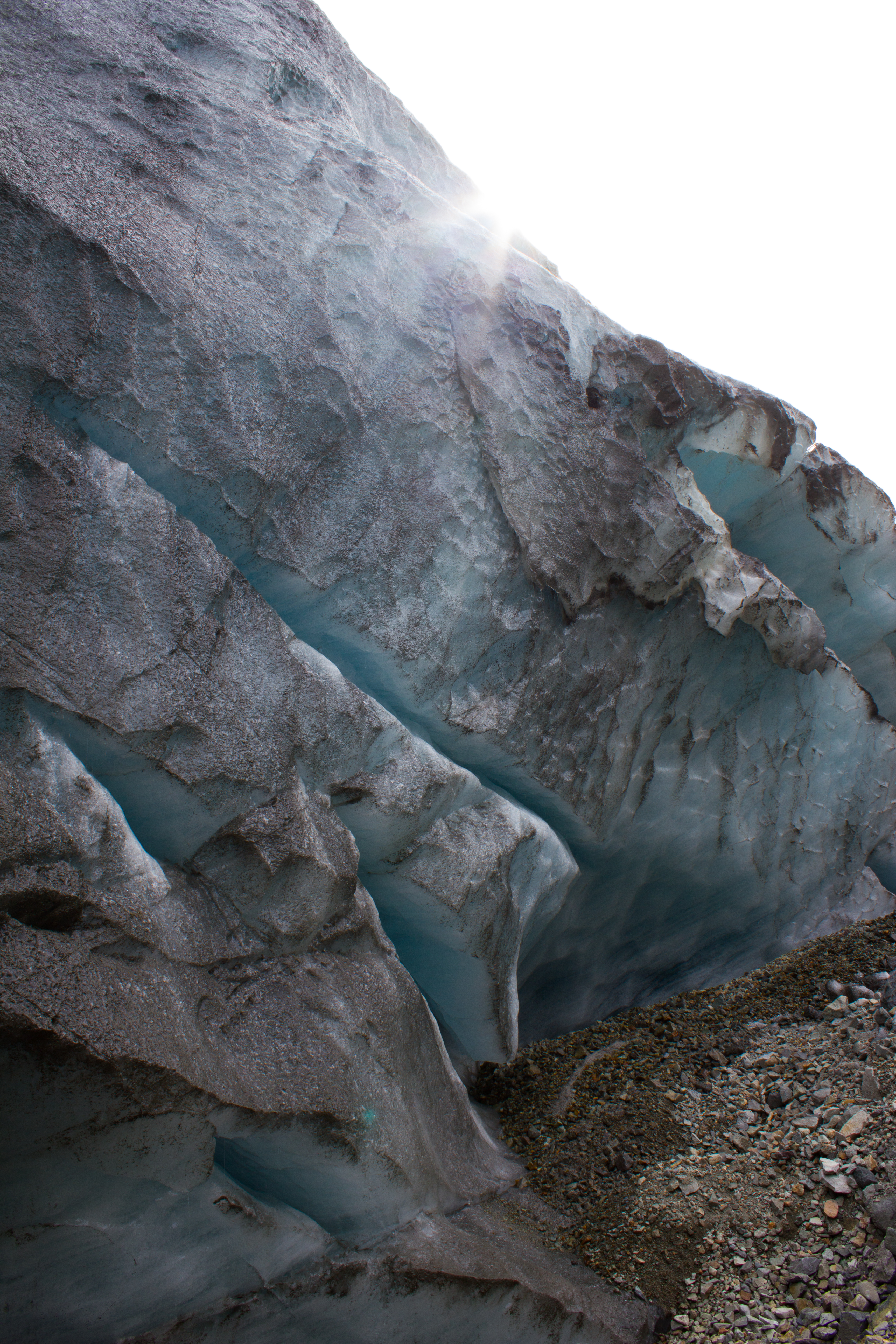
A glacier is more than an ice cube. Rather than being solid, uniform blocks, glaciers can have incredible variations throughout in terms of structure, temperature, and movement. The surface and the base of a glacier can communicate with each other, and the language of this communication is water.
When ice and snow on the surface of a glacier melts, it can produce a lot of water. Streams of this meltwater flow over the surface of a glacier during the warmer months of the year. These streams can cut or ‘erode’ into the glacier, creating paths or channels which the water flows through. Over time, these channels can cut deeper and deeper into the glacier, their roofs closing over to create tunnels through the ice which can bring the meltwater from the surface all the way down to the bottom of the glacier. This is important because increasing the amount of water underneath a glacier can encourage it to slide faster.
During the cold winter months, melt channels are generally dry. We had explored one of these channels previously on Scott Turnerbreen (see Svalbard Part 2: Balancing Act), and decided that some more time under the ice was needed. There had been reports of an excellent ice cave on Larsbreen, a glacier within an hour’s hike of Longyearbyen. So one Tuesday evening, with duties at UNIS finished for the day, Tom, Ellie, Jelte, and myself met on the outskirts of the village, and began the trek to the glacier. Our plan was to explore the cave for a few hours, and then being a bunch of idiots, to stay overnight inside the ice.
(A note on the images: the caves in the glacier were entirely dark, with our headlamps being the only source of light. Therefore, for me, much of the photography was experimental; playing around with shutter speeds, iso settings, and flashes, while avoiding damaging my camera too much when climbing and crawling. As always, click on images to see them in full resolution)
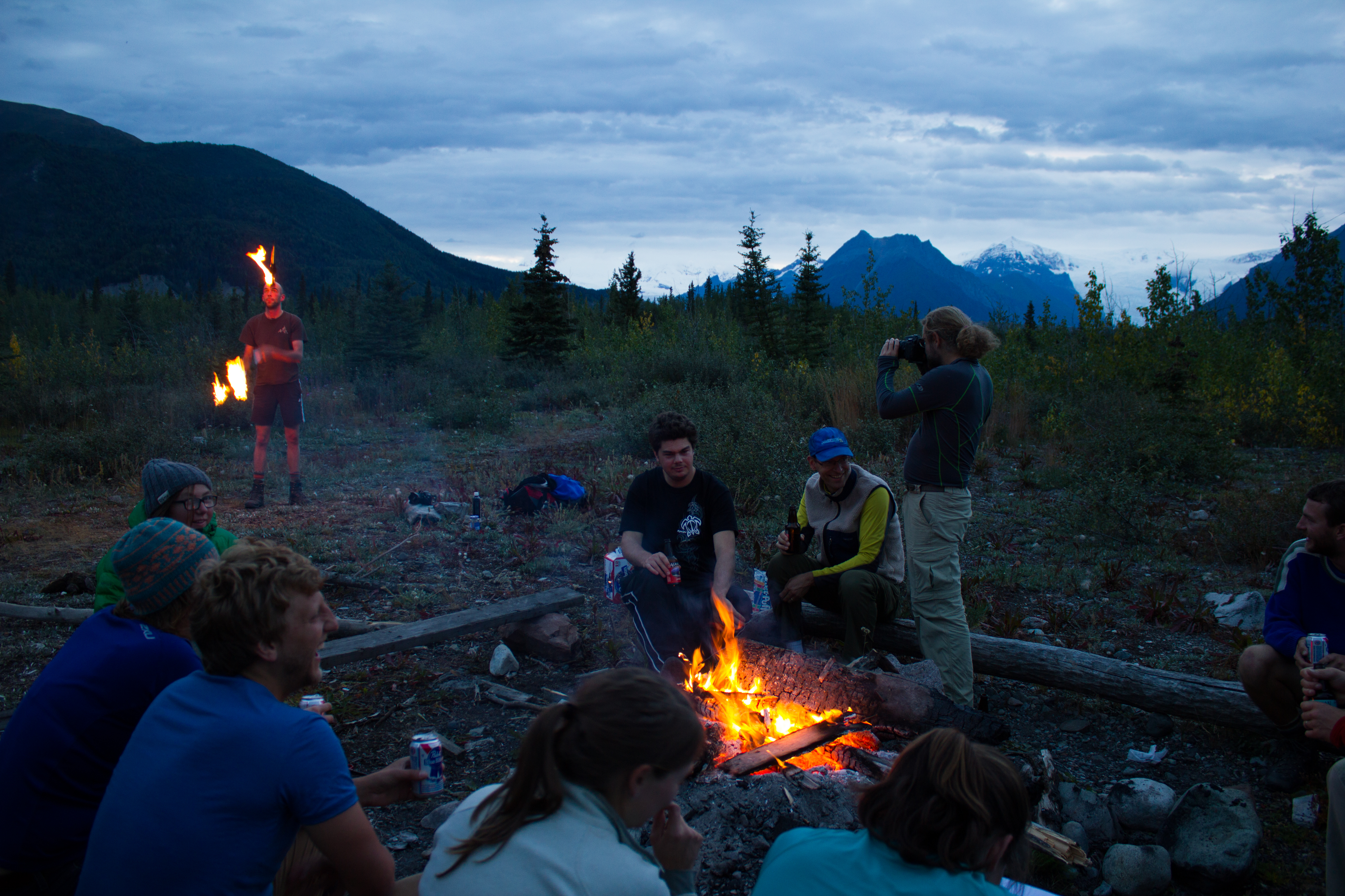
Nighttime in the mountains above Longyearbyen.
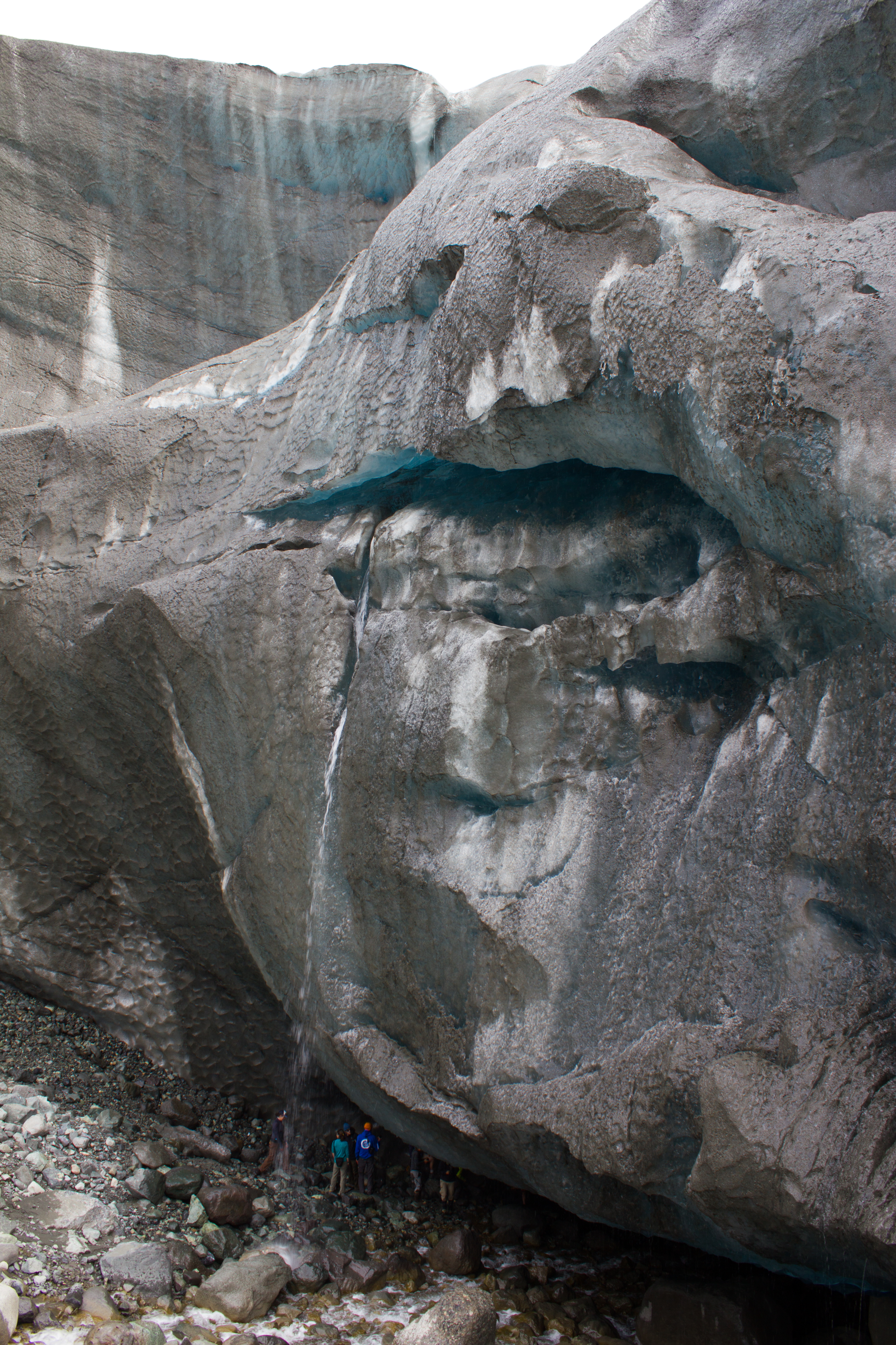
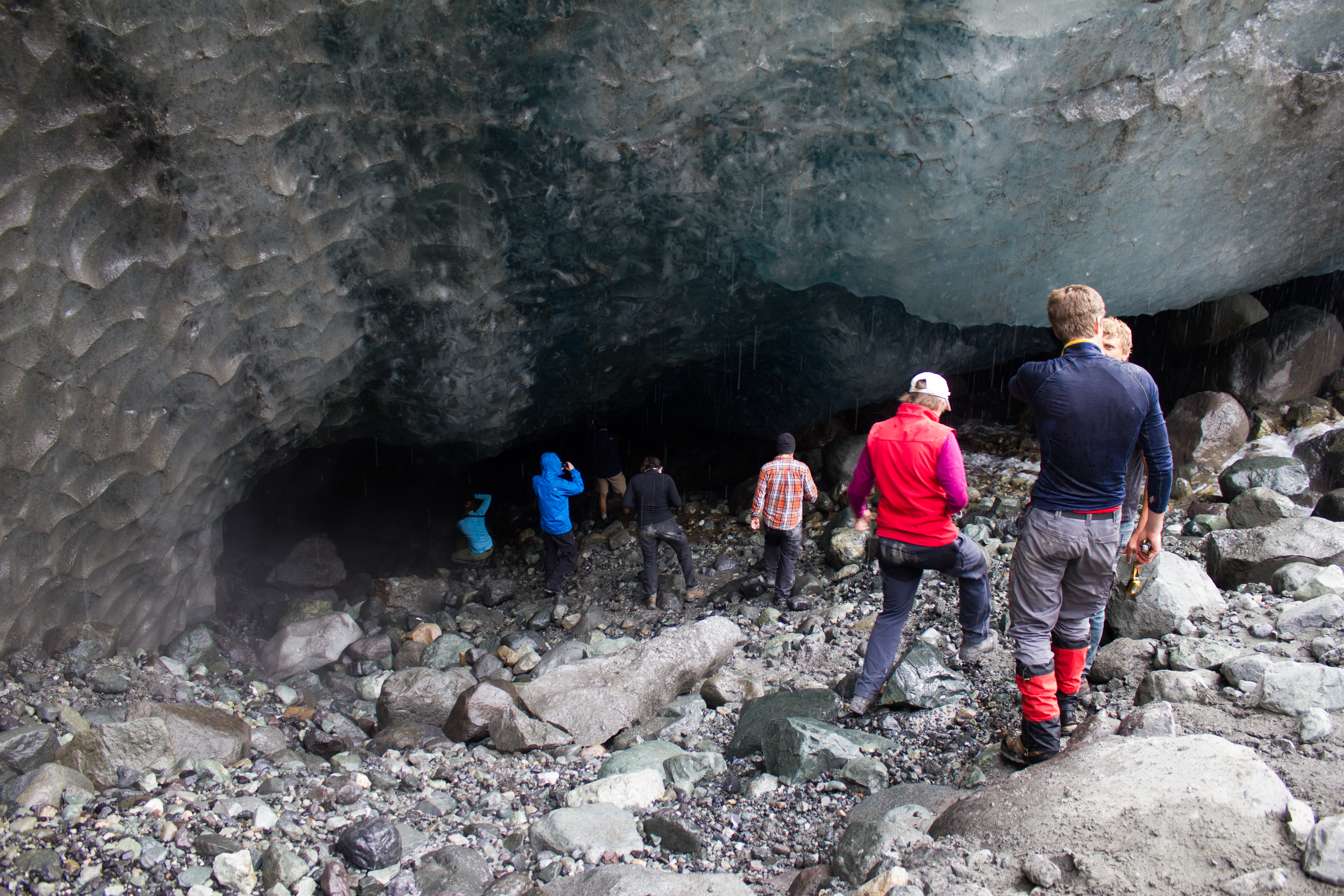
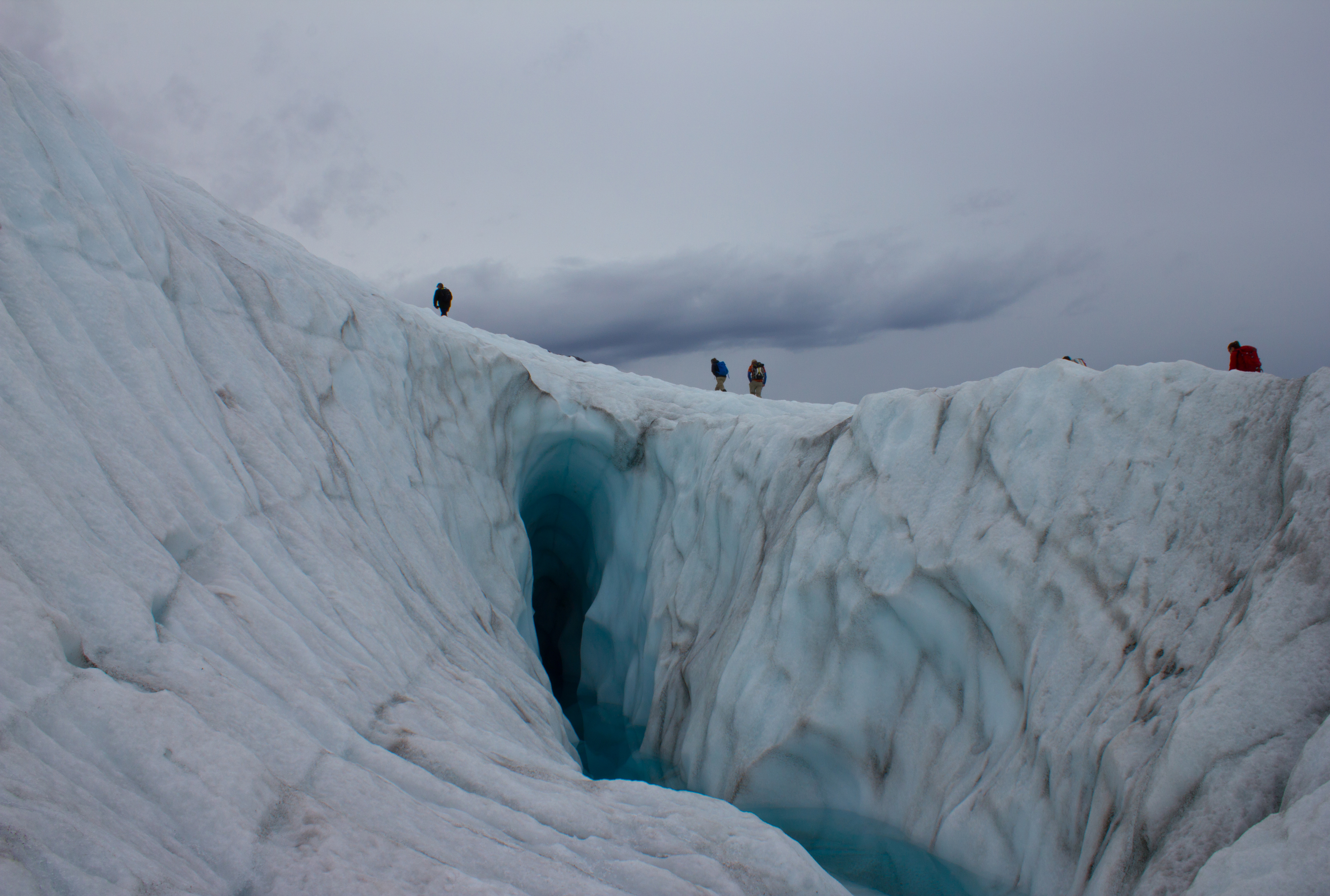
At the cave entrance, on Larsbreen.
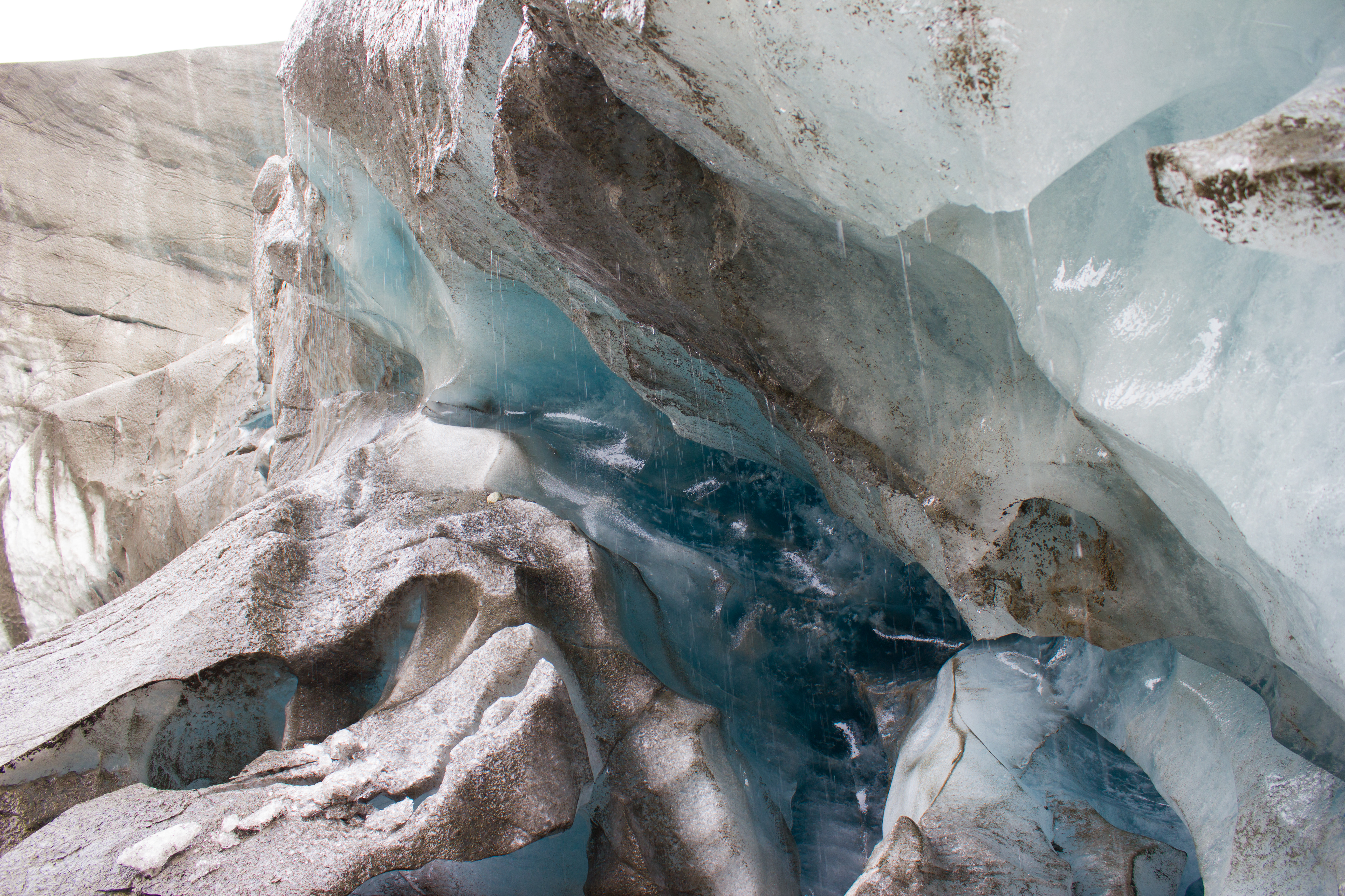
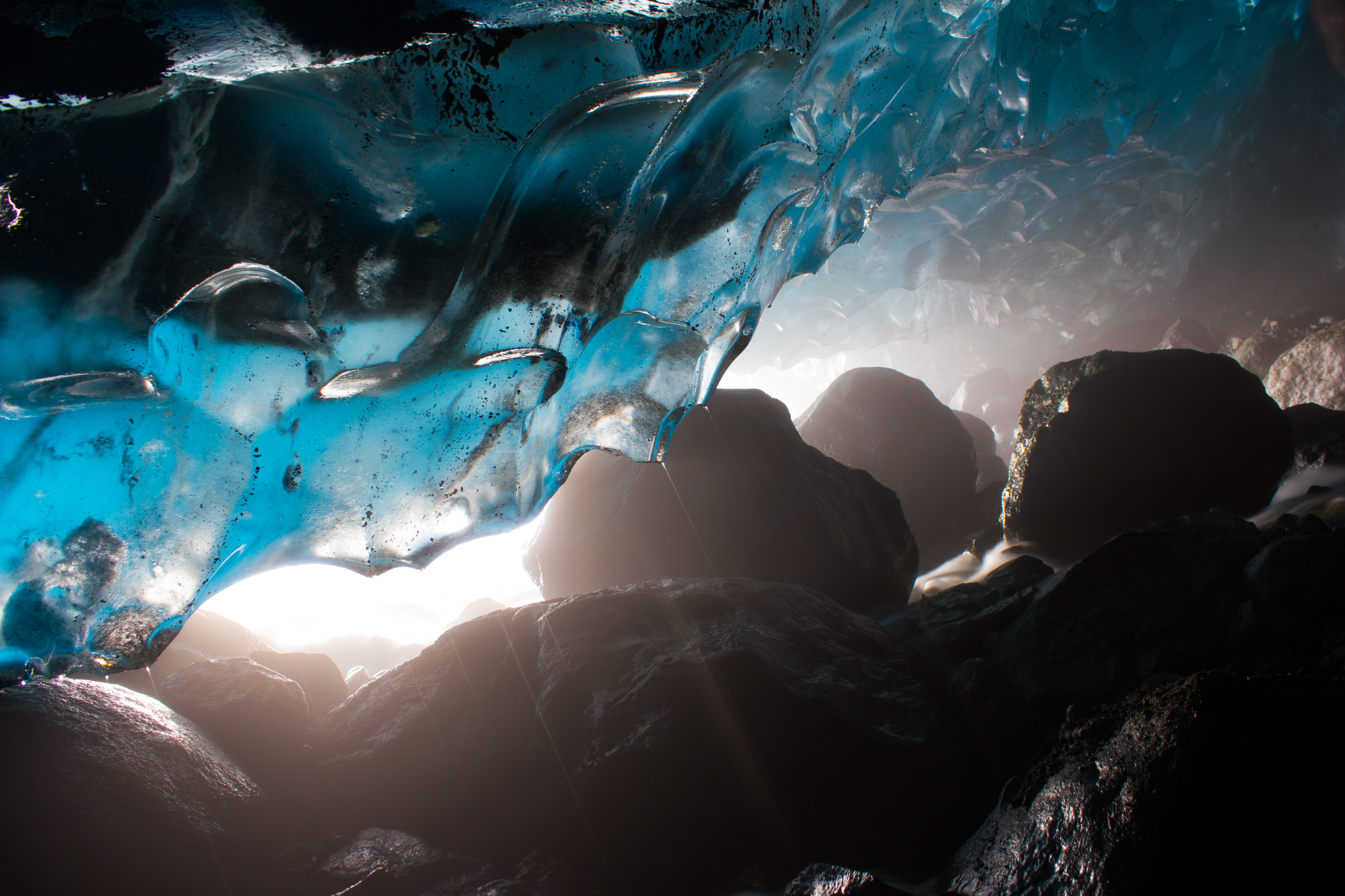
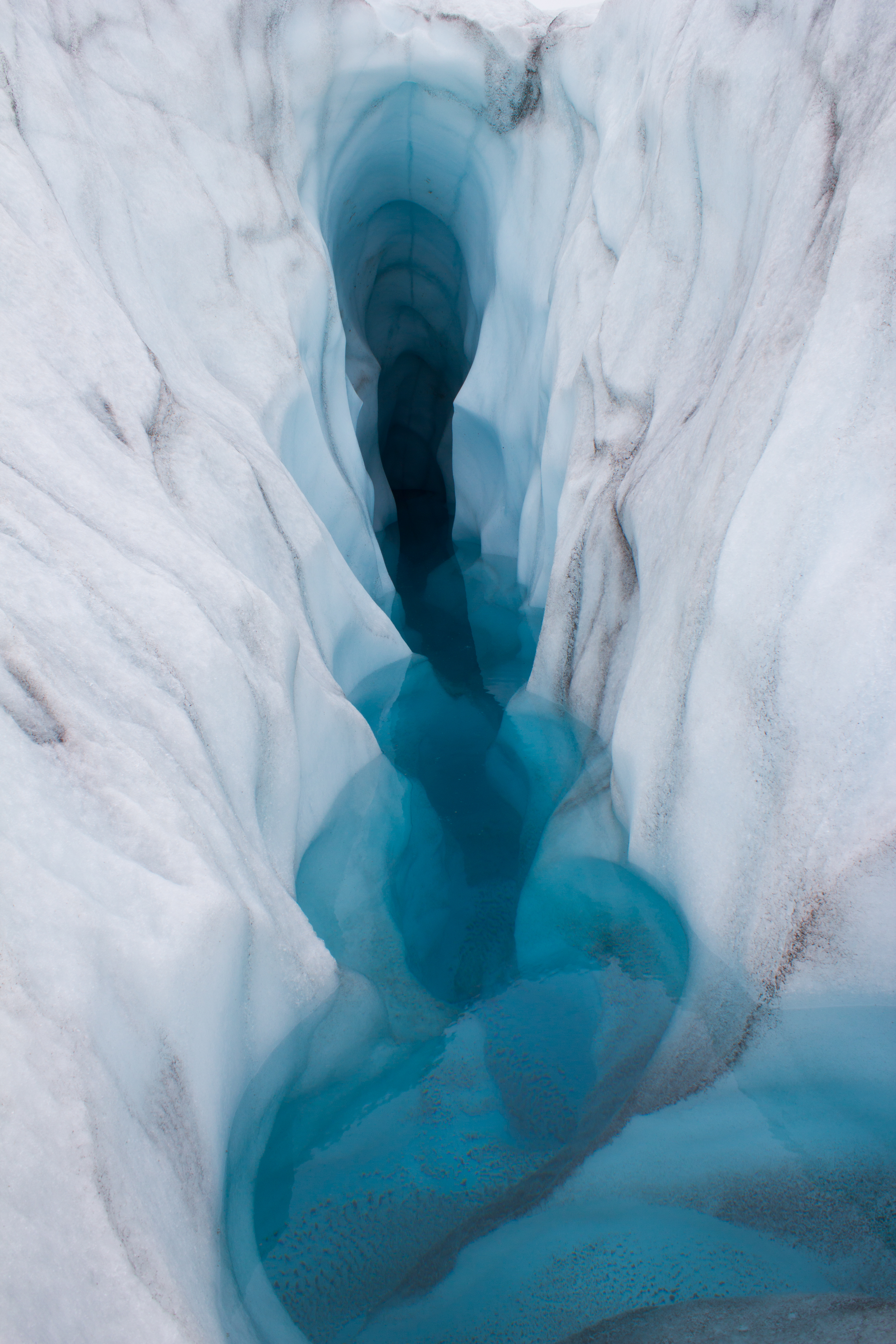
The walls of the channel were lined with a huge variety of beautiful and delicate ice structures.
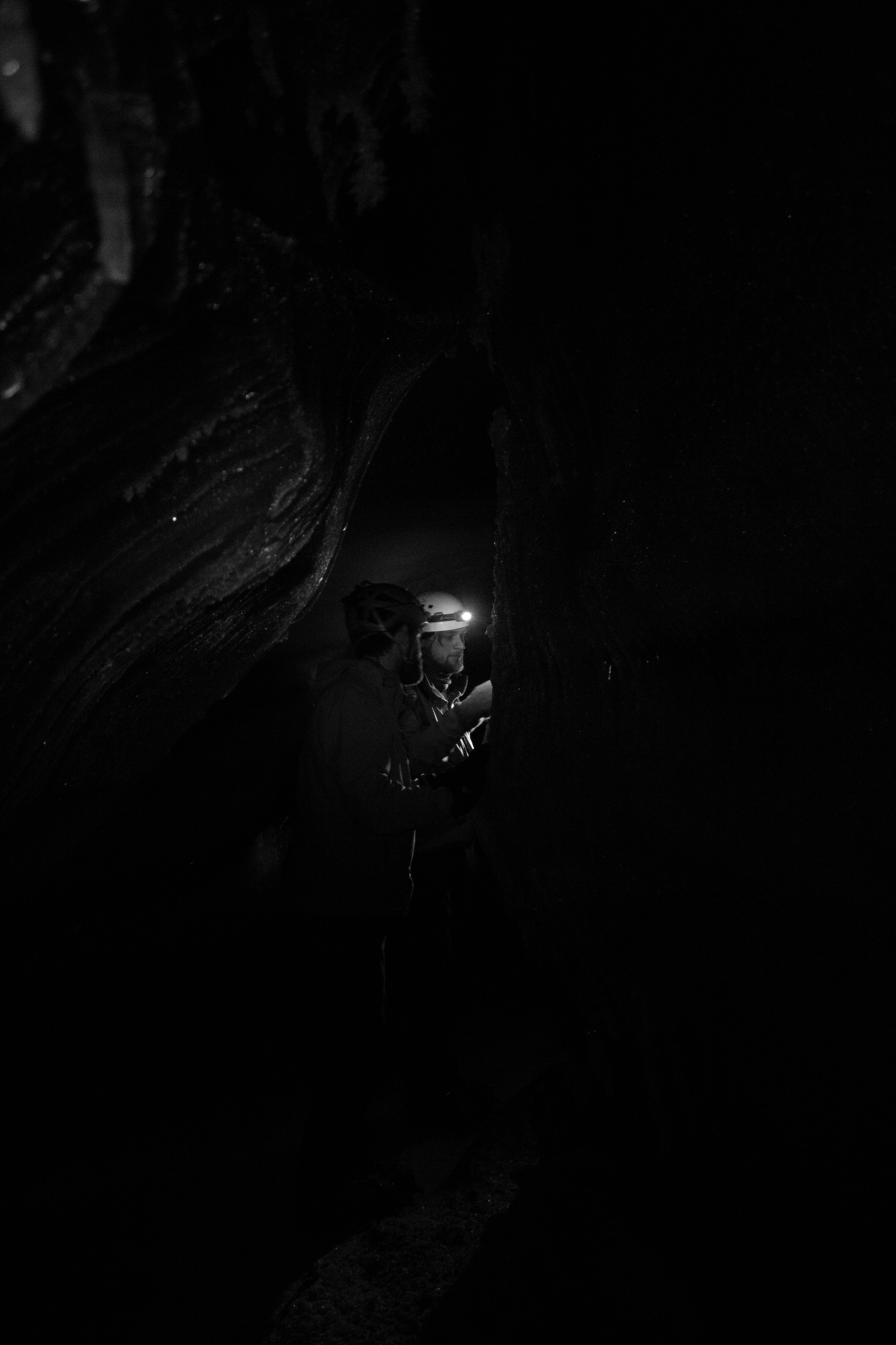
Glaciologist: defrosting.
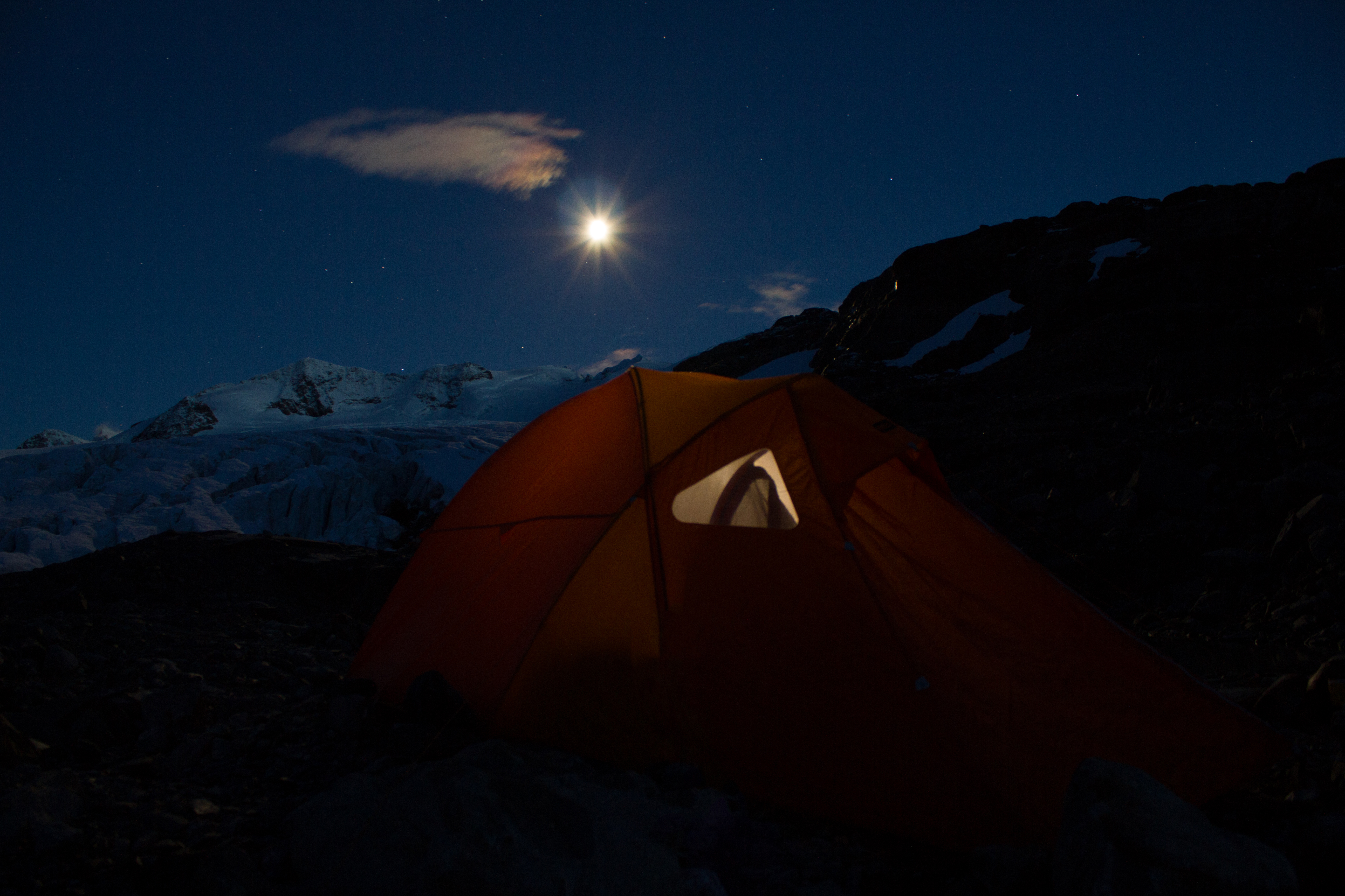
By the light of the moon, we found the entrance to the cave; first squeezing into a tunnel down through the overlying snow to get into the glacier itself. The passage through the ice twisted, widened, and narrowed, like a desert rock canyon; in sections coated in fragile crystal structures, then changing to smooth, swirled patterned walls like polished marble. We followed the channel as far as we could go, descending through a series of levels and passages until we were forced to stop at a major drop; the location of what would have been a waterfall during the melt season. We picked a spot where we could roll out our bags for a few hours, and returned to the surface for some frigid air before sleep. On the way to the surface, I had a ‘how did I get here’ moment; crawling out of a glacier through a snow tunnel in the middle of the night, with a rifle on my back to watch out for polar bears, and being greeted by the northern lights.
Our home for the night: a cosy ice chamber inside the glacier.
Student accommodation in the Arctic can be grim
My choice of sleeping spot, or as it became know as, the ‘MRI machine’.
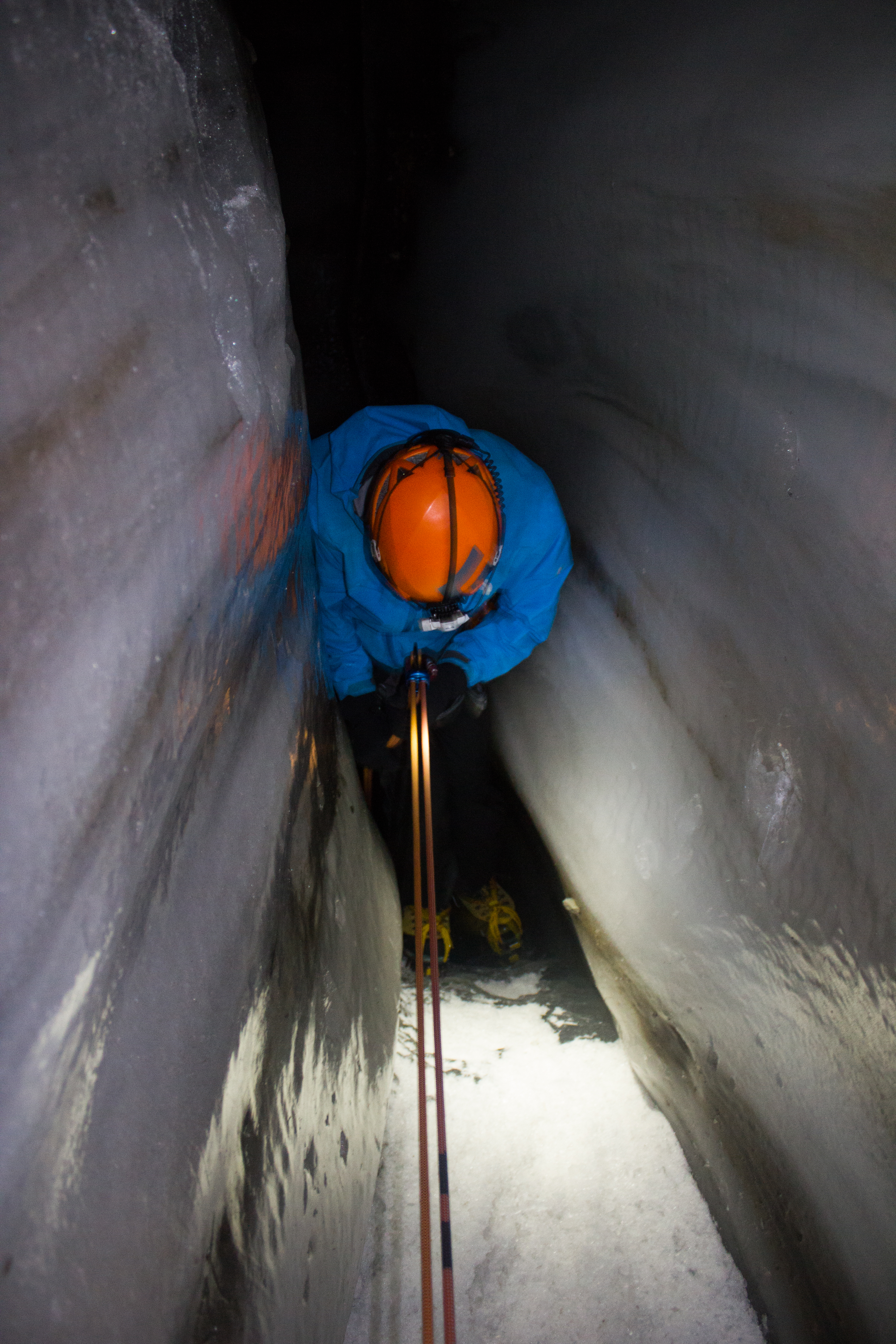
Our night in the glacier was a memorable experience, but it felt like the caves had a lot more to show us had we been willing to push a little further. A few days later, we returned to Larsbreen. Armed with ice climbing gear, Tom, Andi, and myself would attempt to work our way down some of the larger drops that had stalled us on the previous visit, and see how deep we could get.
Descent was carried out through the use of ladders, fixed ropes, and rappels for the longer drops.
Climbing up
Climbing down
Climbing my way up through an ice chimney.
Tom, about to drop over the edge of the first rappel section, which was extremely narrow.
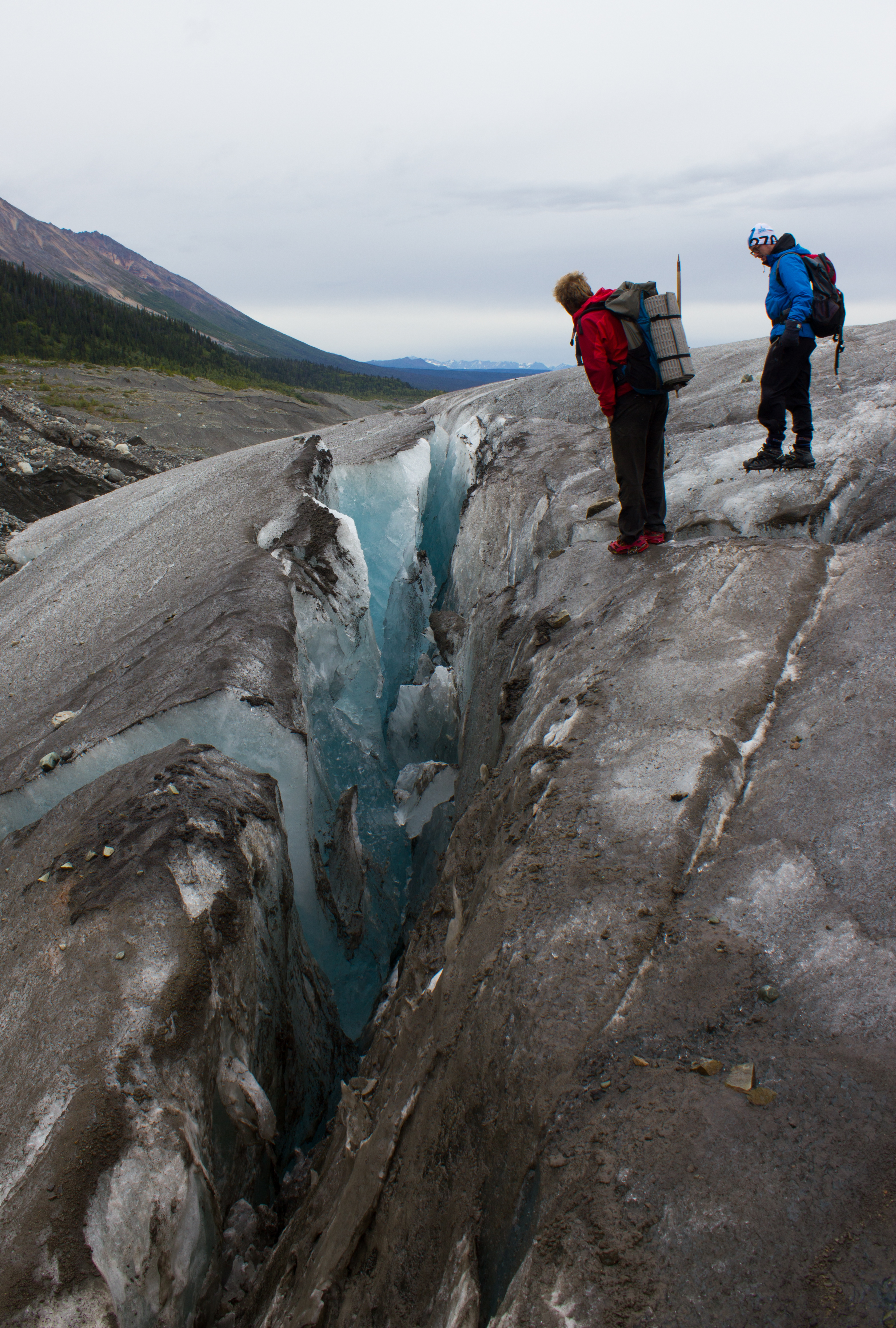
Close to the base of the glacier, looking upwards through the section we had just rappelled down. The dark bands in the ice are layers of debris and sediment (rock and soil) that has been picked up by the glacier as it moved along the valley floor.
Getting narrow…
Narrower…
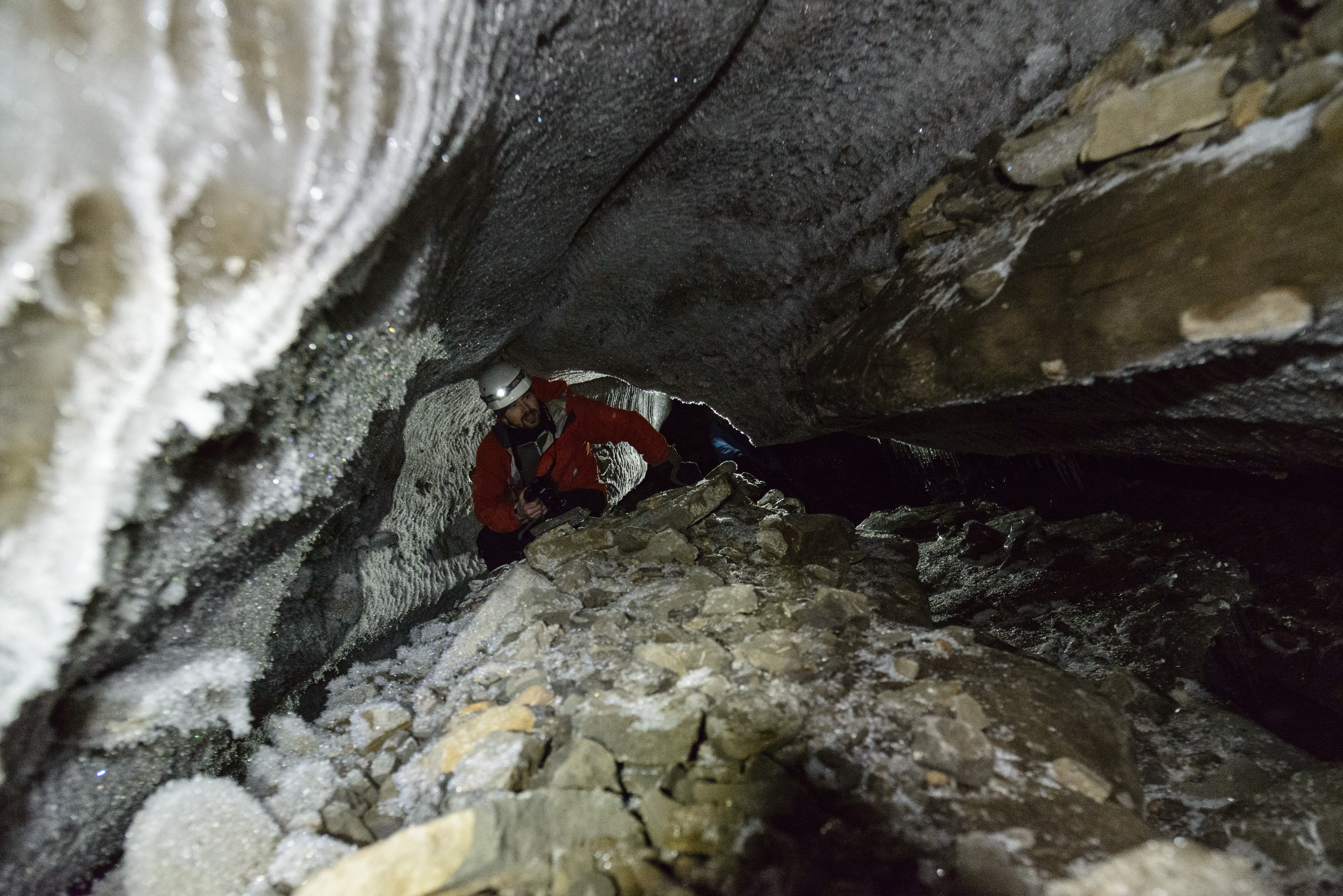
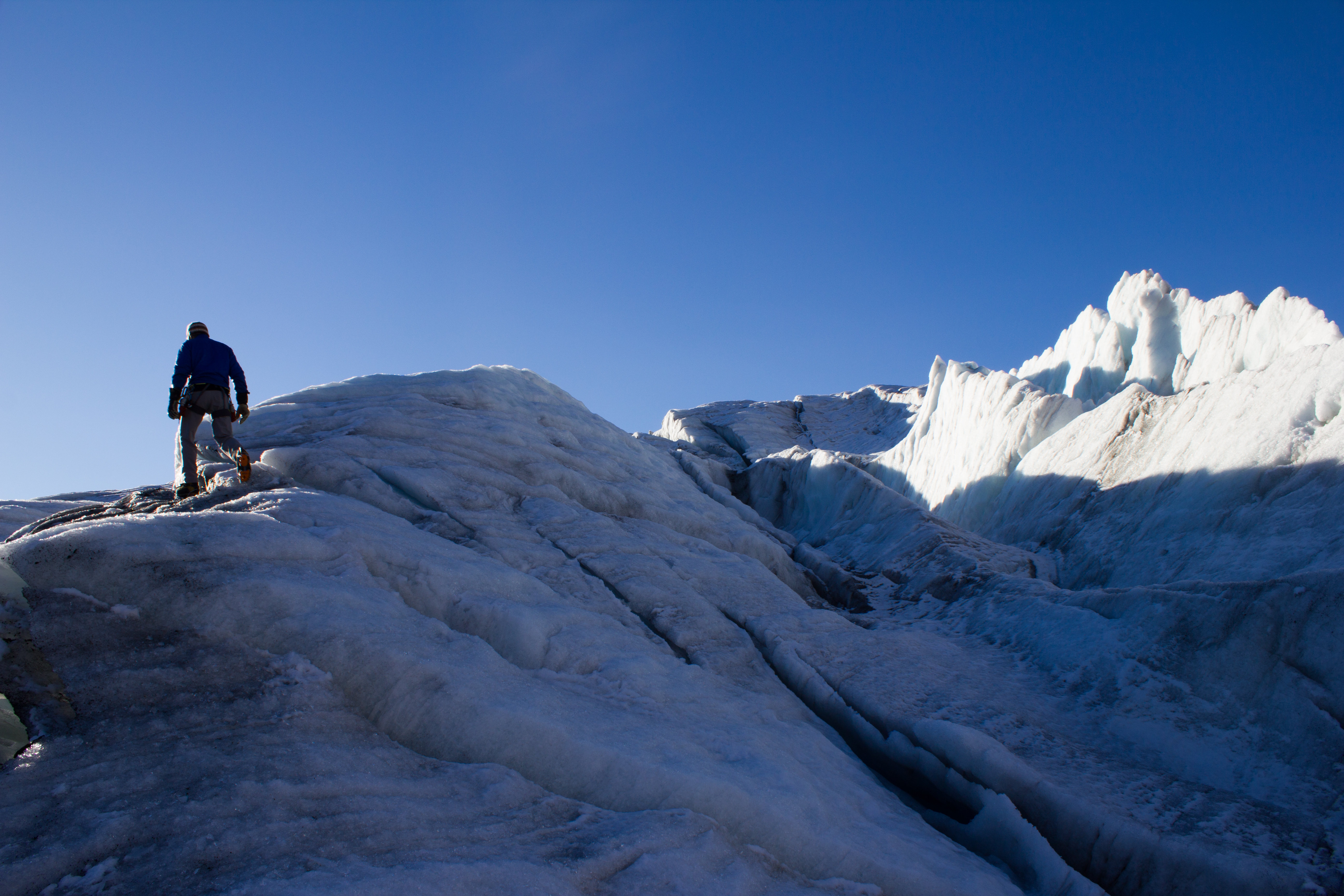
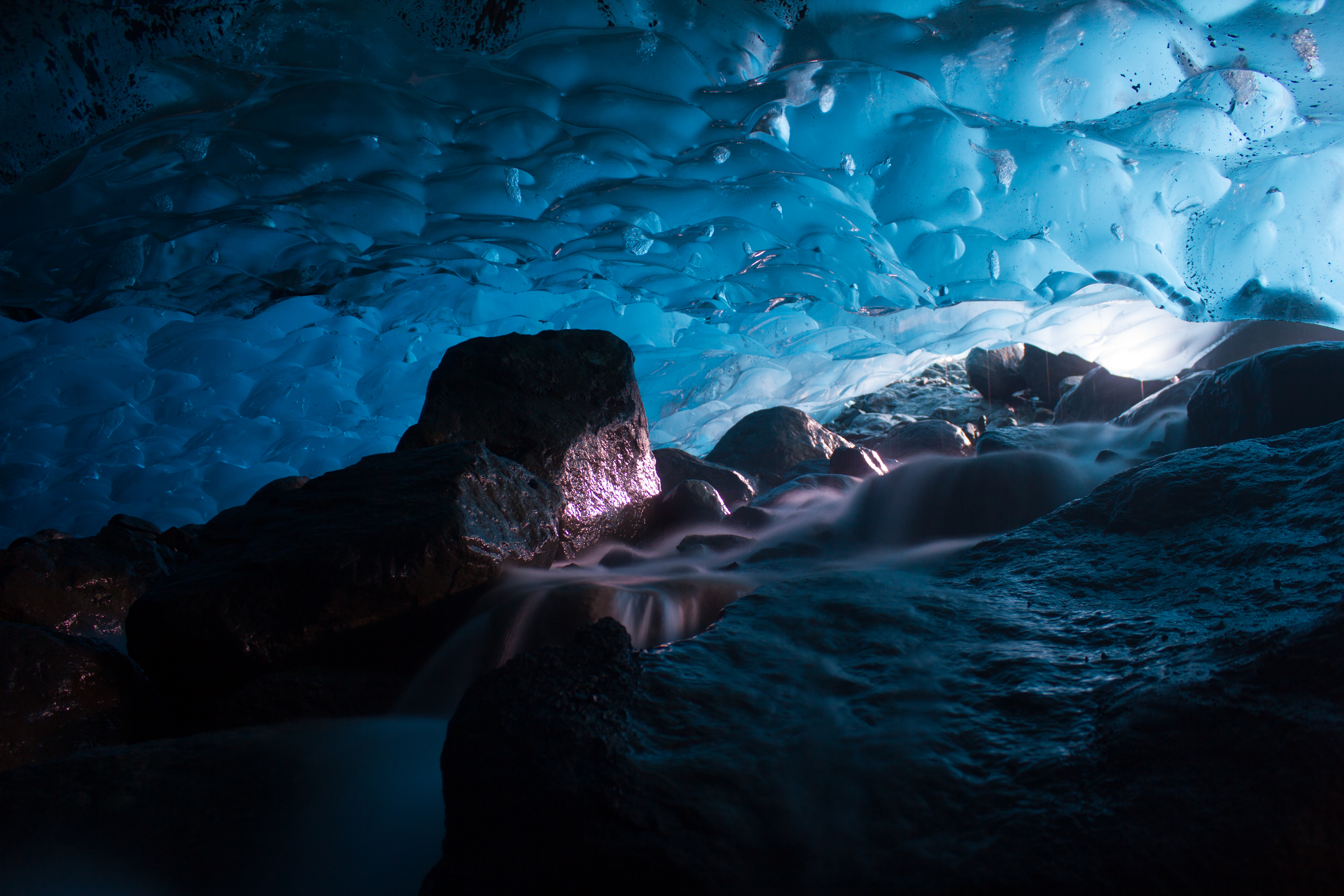
Wide. We reached the base of the glacier to find a cathedral of ice.
Crawling through an R channel (a tunnel cut into the bottom of the ice by a stream running along the bed), with the entire glacier above our heads.
(photo: Andi Alex)
End of the line. The channel eventually became too narrow for us to proceed further.
Belaying Tom up the last pitch of ice climbing (photo: Andi Alex).
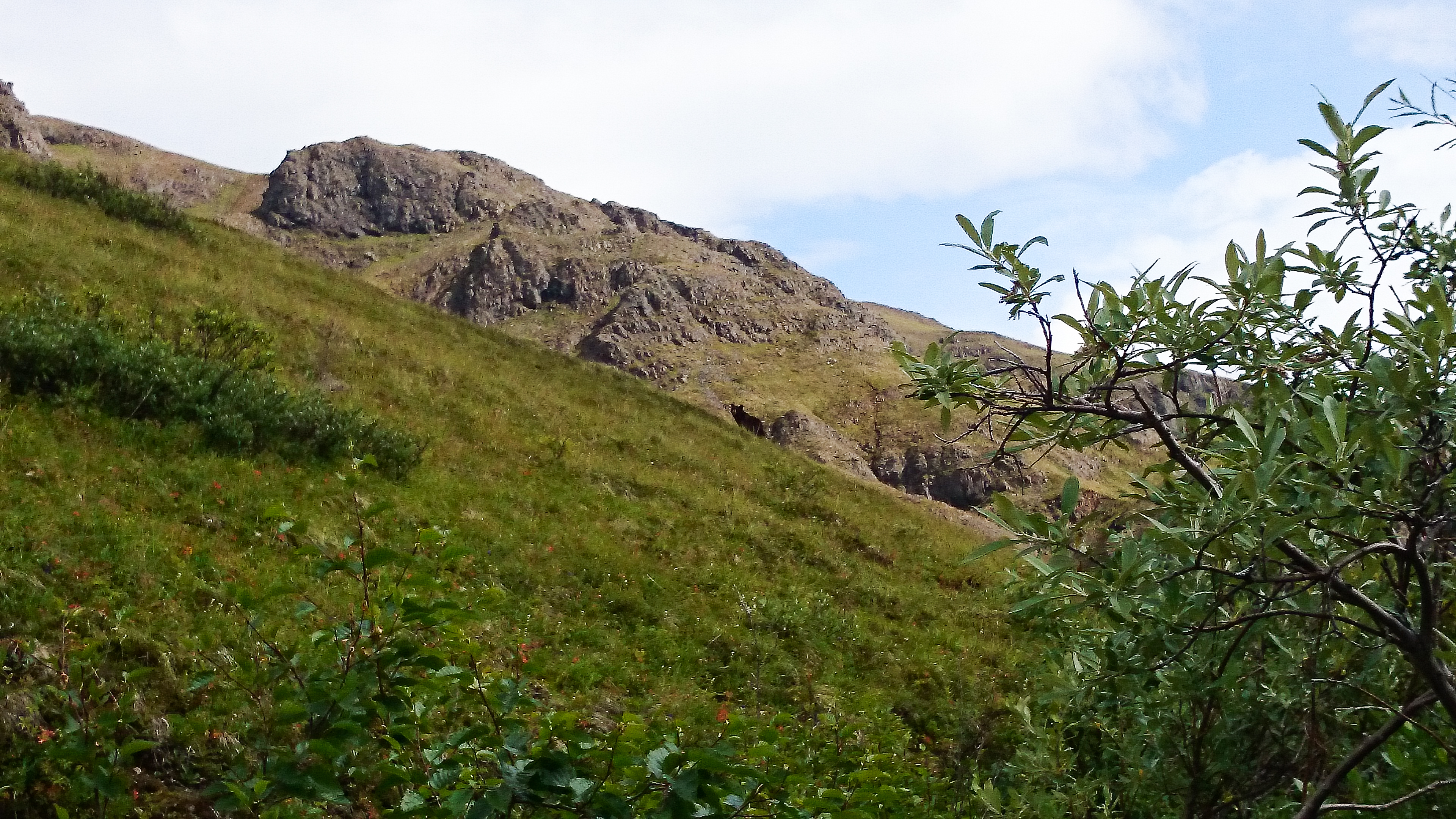
Back on the surface, and being watched by a distant reindeer (photo: Andi Alex).
We found the bed of the glacier, and it was an awe inspiring experience to have this entire mass of ice lying above us. My thanks to my like-minded companions on both trips for their company; the highlight of being in such incredible places is to share it with great people.
Waiting at the gate at Anchorage Airport, my phone beeps to life. I had spent the last two weeks in Alaska, without phone or internet coverage, and was looking forward to having a little time off back in Vancouver before the end of the summer. My phone disagrees.
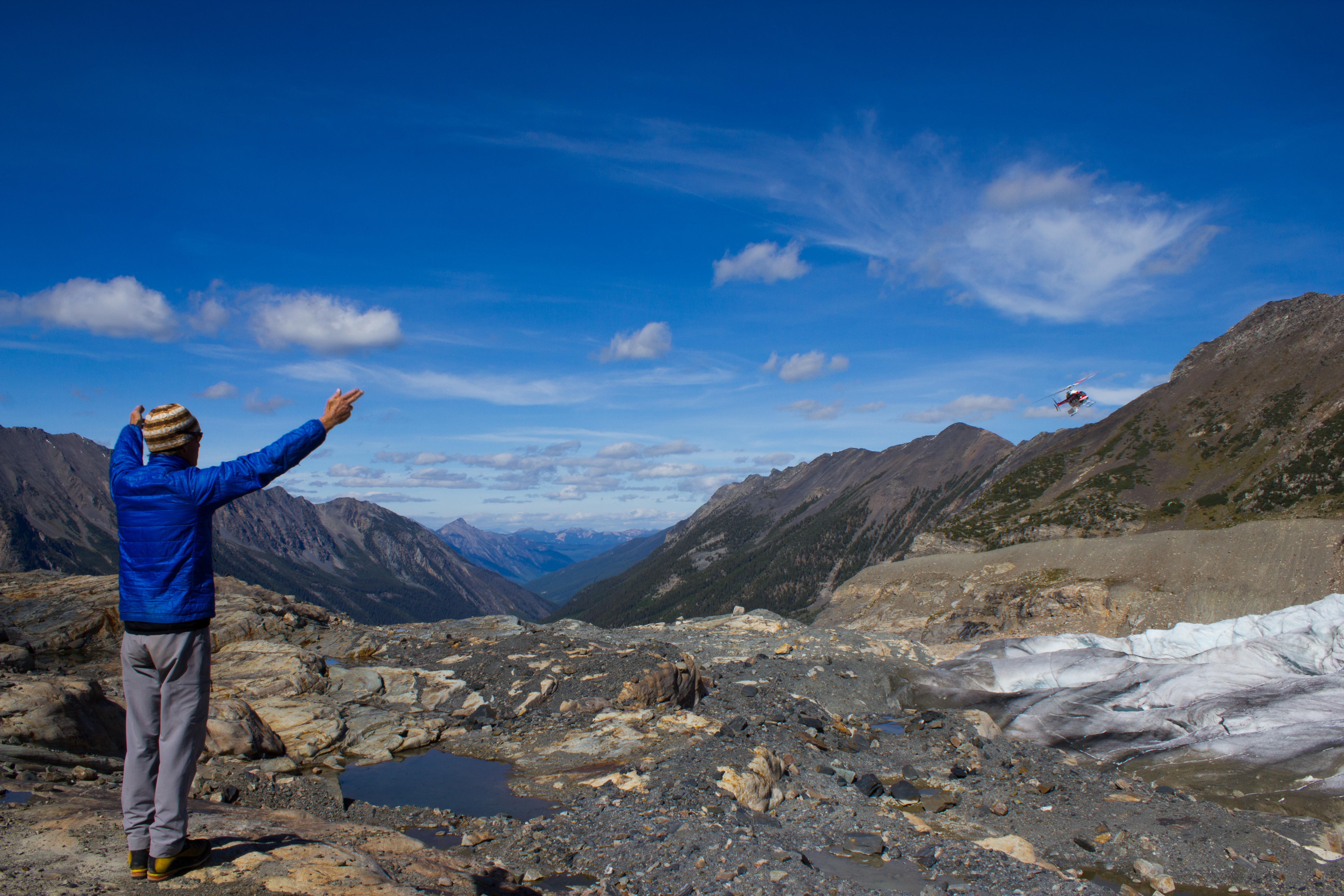
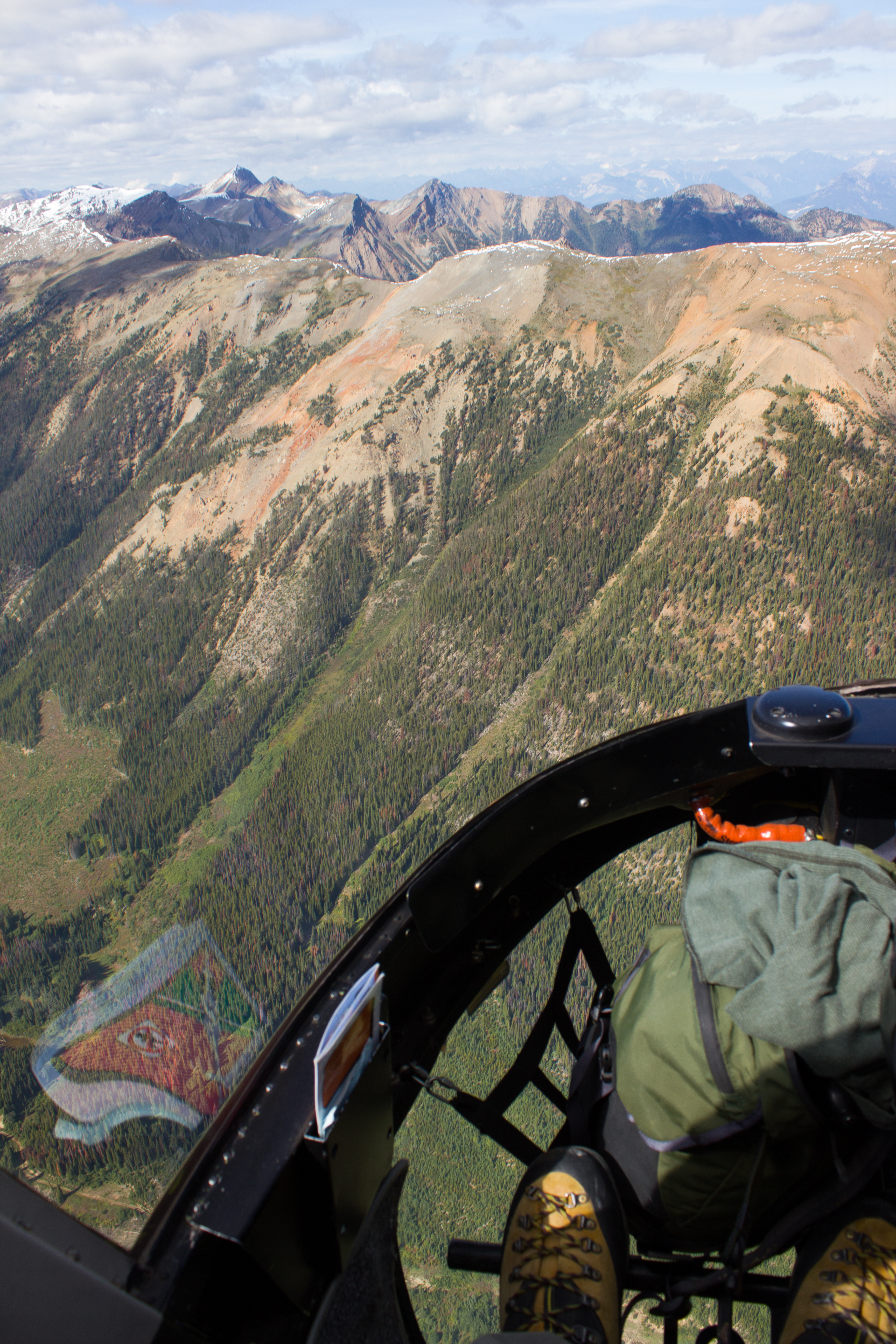
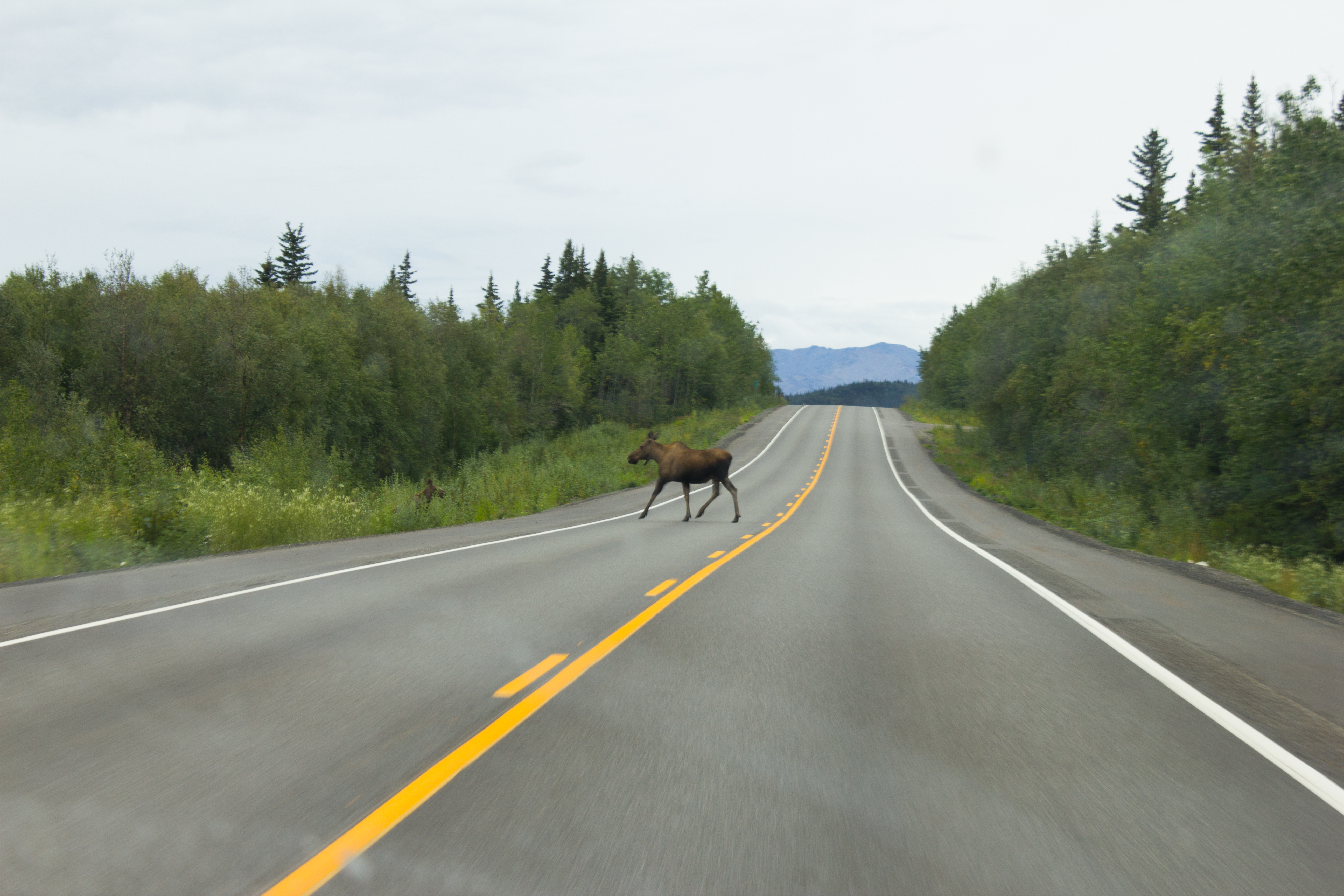
A few short days later, I’m sitting behind the wheel of a pick up truck on the road to Golden, and Nordic glacier (see Notes from Nordic). 740km of driving solo in one afternoon was certainly a first for me. This isn’t surprising when you consider that I come from a country that can be crossed three and a half times in that distance. It is quite a road though; the landscape constantly evolving between mountains, forests, and arid plains. Back at the airport, I had received a backlog of emails advising me that a research team from the University of Northern British Columbia (UNBC) were planning to travel to Nordic earlier than expected. Before leaving for Alaska, the plan had been to return to the glacier in mid September in order to dismantle and collect my equipment. Now, if I wanted to get back to my station this season, I needed to be on the helicopter flight tomorrow morning.
I made it into Golden after dark, with the silent flashes of distant thunderstorms hinting at what the weather would have in store for us. Once again, I was being hosted by Tannis and Steve (of Sorcerer Lodge), and was grateful for a place to sleep that night. A short drive to the helicopter early the next morning, and we were on our way back into the mountains. We were a group of five; Rob Vogt and Ben Pelto from UNBC, Bob Sawyer, Steve, and myself.
Click on images to enlarge. Due to a technical issue, the images in the first half of this article (from Nordic) were not taken with my usual camera, and are of a lower quality.Autumn had arrived in the mountains, and we experienced some significant snow showers.
The last I had seen of my station had been in early July as we were flying out after installing the equipment. Thoughts of failed power systems, wiring mistakes, and crevasses opening underneath had been frequently on my mind in the intervening period. They were certainly on my mind that morning as Steve and I hiked up to the glacier. Ascending a ridge of ice, I could see emerging above me the rotating propeller of the wind sensor on the top of the station. So, it was still standing at least. As we approached closer, I could hear the low hum of one of the sensors, meaning power was still being supplied. So far so good. A quick check of the data logger (device for storing the measurements from the sensors) showed no obvious gaps in the data. More serious investigation would be left for the lab back in Vancouver, but I was delighted with that much.
When designing each aspect of the station (see The Project), the fact that the glacier surface would be constantly melting and changing was always kept in mind. Seeing the change in reality, however, after such a short period of time was still a shock. Equipment that I had installed while crouched on my knees was now towering above me, stranded high on 4 meter poles that had been fully submerged in the ice 48 days previously.
An example of the changes observed on the surface. The above image shows the camera mount on the day it was installed (July 11th). The mounting poles were drilled 4 meters into the ice. The image below shows the camera mount on returning to the glacier on August 28th. (This image is taken from a different angle and from further away).
It took a day and a half to dismantle the station, and to pack everything up for transport out by helicopter. It would have taken significantly longer without Steve’s assistance throughout. With the last minute nature of this trip, I had thought that I would be tackling the station on my own, and I would probably be still up there trying to extract frozen pipes had that been the case.
Preparing the sling load for transporting the equipment out by helicopter.
I had been really curious (and nervous) to see how the camera had performed over the summer (see A Camera for all Seasons). For one reason, it would be a really useful source of information when it came to examining the data. Also, as I had built it, I would have no one to blame but myself if it hadn’t worked. Opening the case back in the lodge that night, the camera passed the first test; it switched on. Quickly checking through the pictures, the most recent image had been taken just a few minutes earlier as I was taking off my boots. Overall, the camera performed well, with just one day where it failed to shoot (looking into that). I’ve stitched the images together into the short timelapse video below, to give an idea of the changes taking place.
The camera box, just prior to me opening it to see if it had worked.
(Best viewed in full screen and HD)
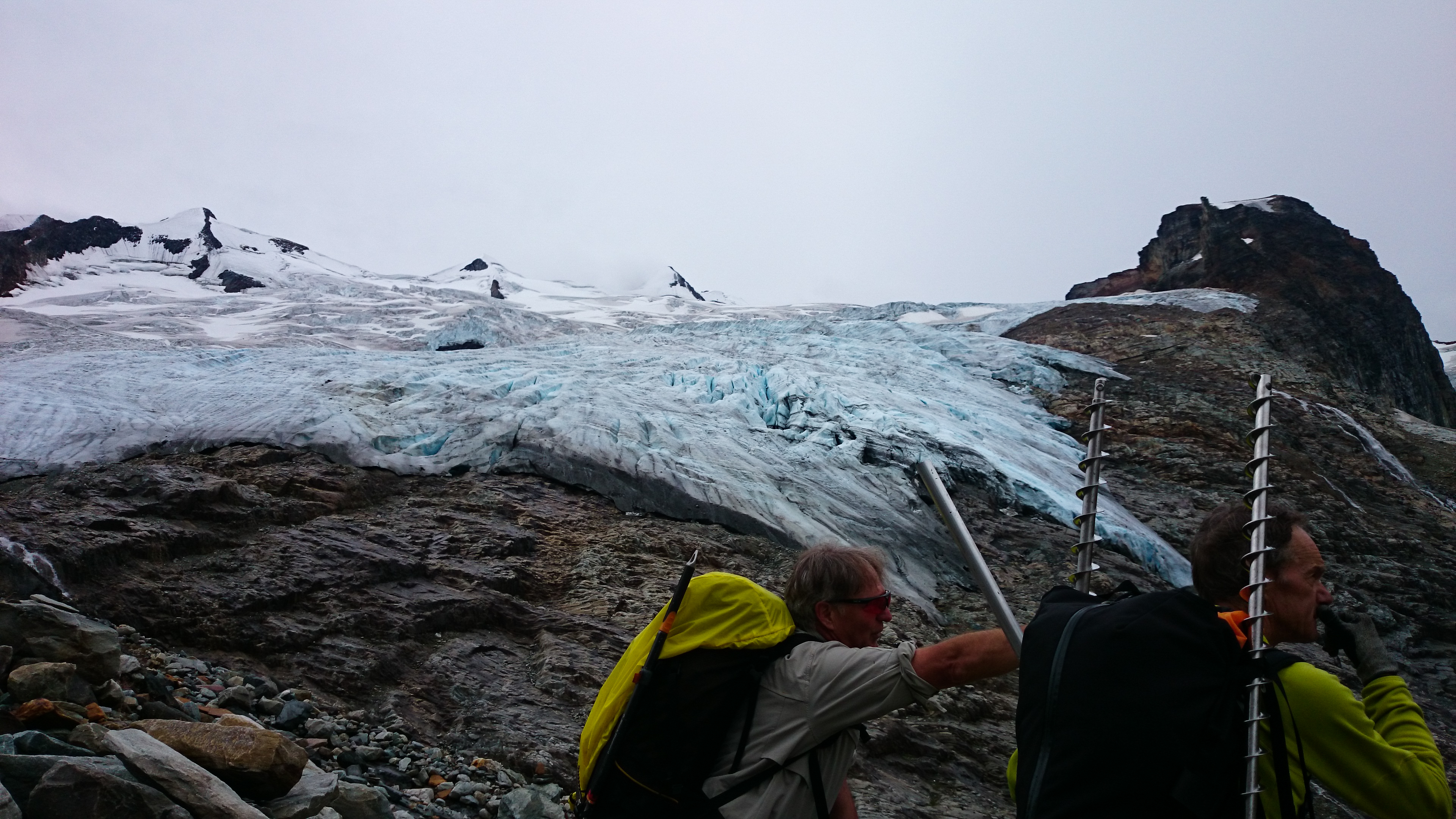
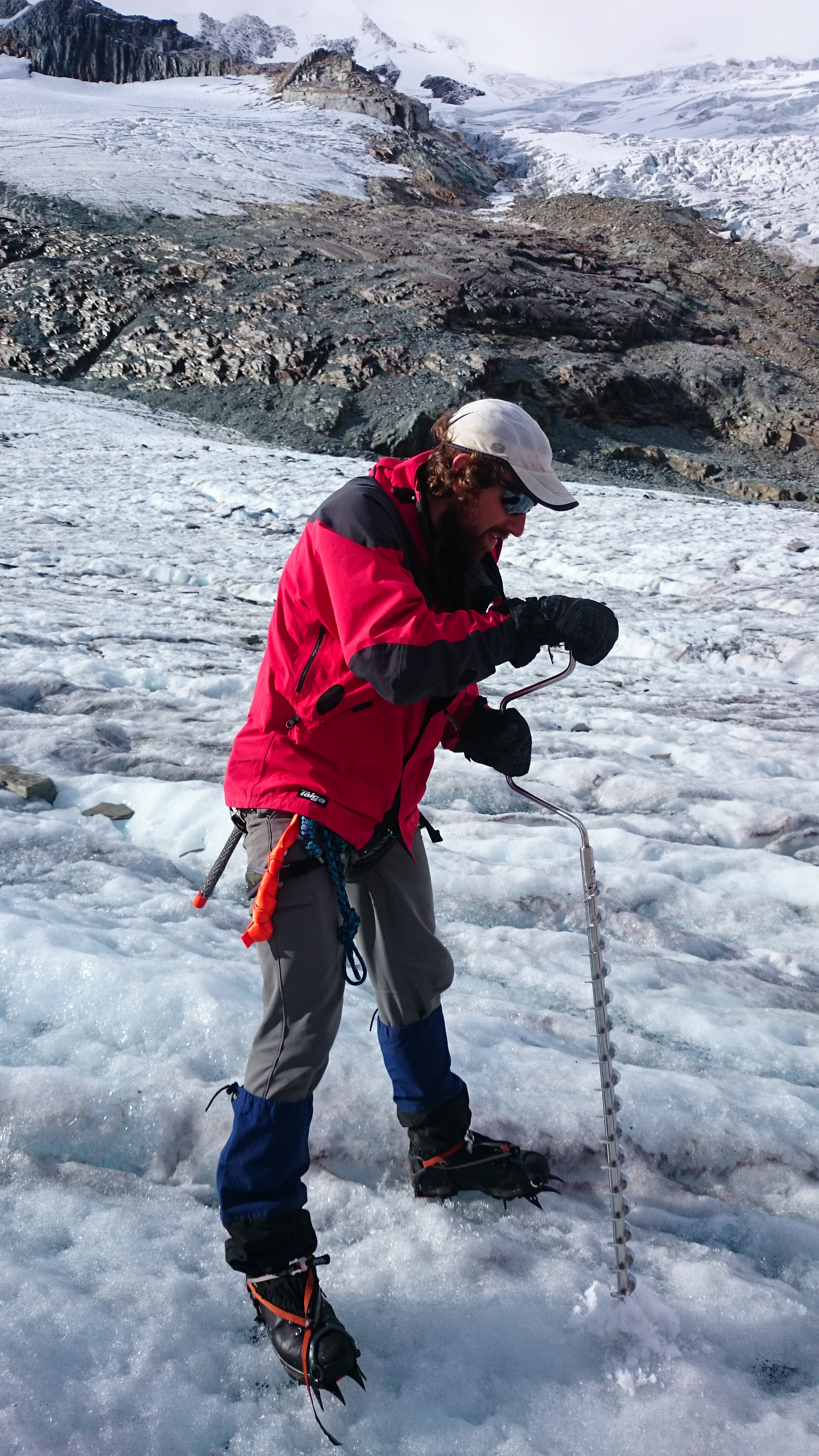
On the third day, I joined Rob, Bob, and Ben (seriously), and assisted with their work on the glacier. In order to monitor the loss or gain of ice over the glacier surface (known as it’s mass balance), a common method is to drill a series of stakes along the central line of the glacier (usually every 100 meters of elevation). These ‘ablation’ stakes are inserted deep into the snow or ice, with just their tops emerging. The stakes are visited at the same time the following year, and the change in the level of the glacier surface relative to the stake is measured. We spent most of the day installing stakes, and also a sensor in one of the streams emerging from the base of the glacier, to monitor temperature changes of the melt water.
Rob, using an ice auger to drill a hole for an ablation stake. Depending on elevation and the expected amount of melt, holes were drilled between 3 and 7 meters deep.
A temperature sensor was installed in this melt water stream, emerging from the base of the glacier.
All about the angles. This huge crevasse and snow bridge were only visible when we came around the far side. During the winter, it is concealed by snow.
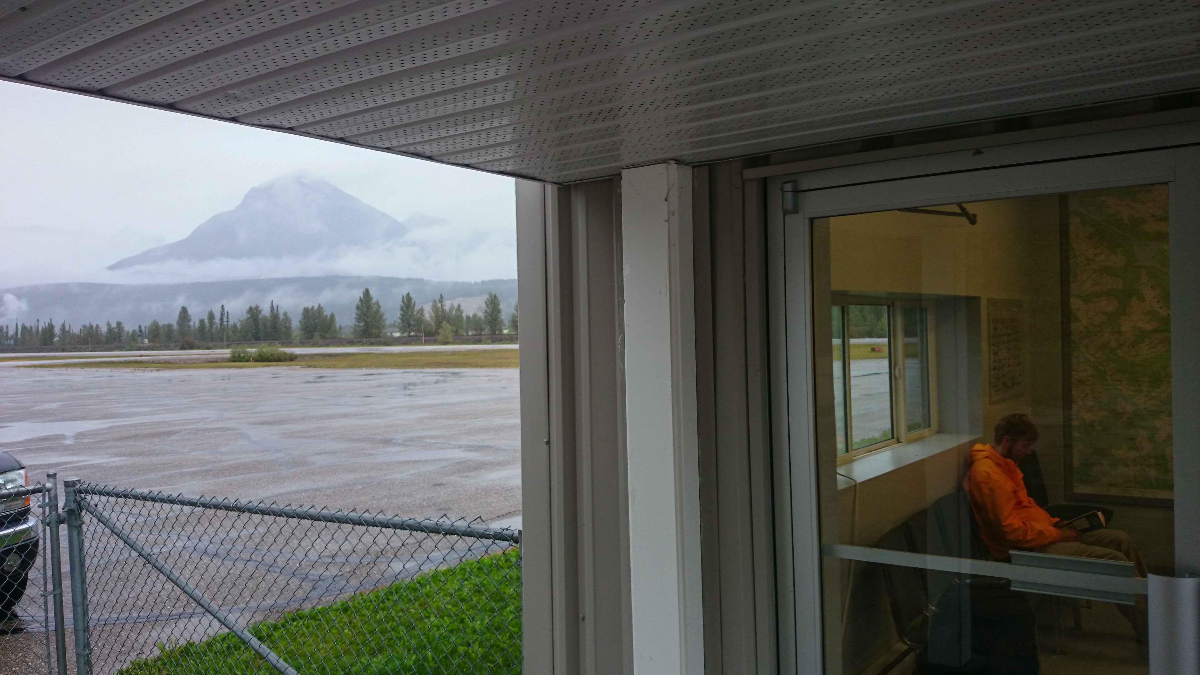
I had agreed to stay on after the work on Nordic, and to assist Ben and Bob with an ablation stake campaign on Conrad Glacier. I was also interested in assessing Conrad (also in the Selkirk mountains) as a potential location for installing a station next summer. Between flying down from Nordic and setting out for Conrad, we had a couple of enforced rest days. Low cloud meant that visibility was too poor for the helicopter, so we hung out in Golden, and Steve took us around some of the local mountain bike trails.
Rain delayed. Waiting at the airport for a break in the weather. Cloud in the valleys was preventing us from taking a helicopter to Conrad glacier.
A window of clear skies two days later gave us a few hours to fly to Conrad, and set up camp. The following are some images from our time there, and of the work we were involved in.
Conrad glacier, as seen from our camp. Although heavily crevassed along its margins, once this section was navigated, the main truck was relatively solid.
Preparing dinner as the sun sets.
Home in the mountains.
Morning reflection.
Ben, preparing the GPS locator, which would facilitate the airborne LiDAR scanner in producing a digital map of the glacier.
Gaining access onto the glacier.
Navigating bands of lateral crevasses.
Drilling boreholes into the ice, with depths of up to 6 meters, for installation of ablation stakes. On Conrad, we installed stakes every 100 meters or so of elevation.
Ice falls of a tributary glacier.
The skull of a mountain goat at the base of Conrad glacier.
Returning back after a day on the ice, we found one of the tents flipped by the wind, and only moments away from being blown off the cliff on to the glacier below.
Come to carry us home. Bob signaling the location of the landing spot to the approaching pilot.
Boots off the ground
I really enjoyed my time on Conrad. With my own project wrapped up on Nordic, I was better able to connect with the landscapes around me. This was wilderness; rock, ice, water, and weather, with little to distract from it. With night temperatures below zero, and winds that spoke of snow, it was clear that the summer was ending, and it was a beautiful location to bid it farewell for this year. The last day was an epic. We rose at 6 to piercing blue skies, and spent the morning installing the remaining stakes higher up on the glacier. We returned to break up camp, and were picked up by helicopter at 3. It was 5:30 before I was pulling out of Golden, with the drive back to Vancouver ahead of me. Arriving at the University shortly after 3am, I unloaded the equipment as quickly as possible, and was thankful that my running in and out of the building with expensive equipment did not alert the suspicions of security.
Night shift. The truck, finally unloaded, after an epic day.
The main purpose of the field work was to obtain data. So in some ways, the work is really only beginning, and will continue throughout the winter, in the office and the lab. This summer’s campaign was just the first of several before the research questions of my PhD can, hopefully, be answered. However, a PhD can be filled with lots of missteps and wrong turns, so it’s important to recognise and appreciate when things go well. A solid first step. One down.
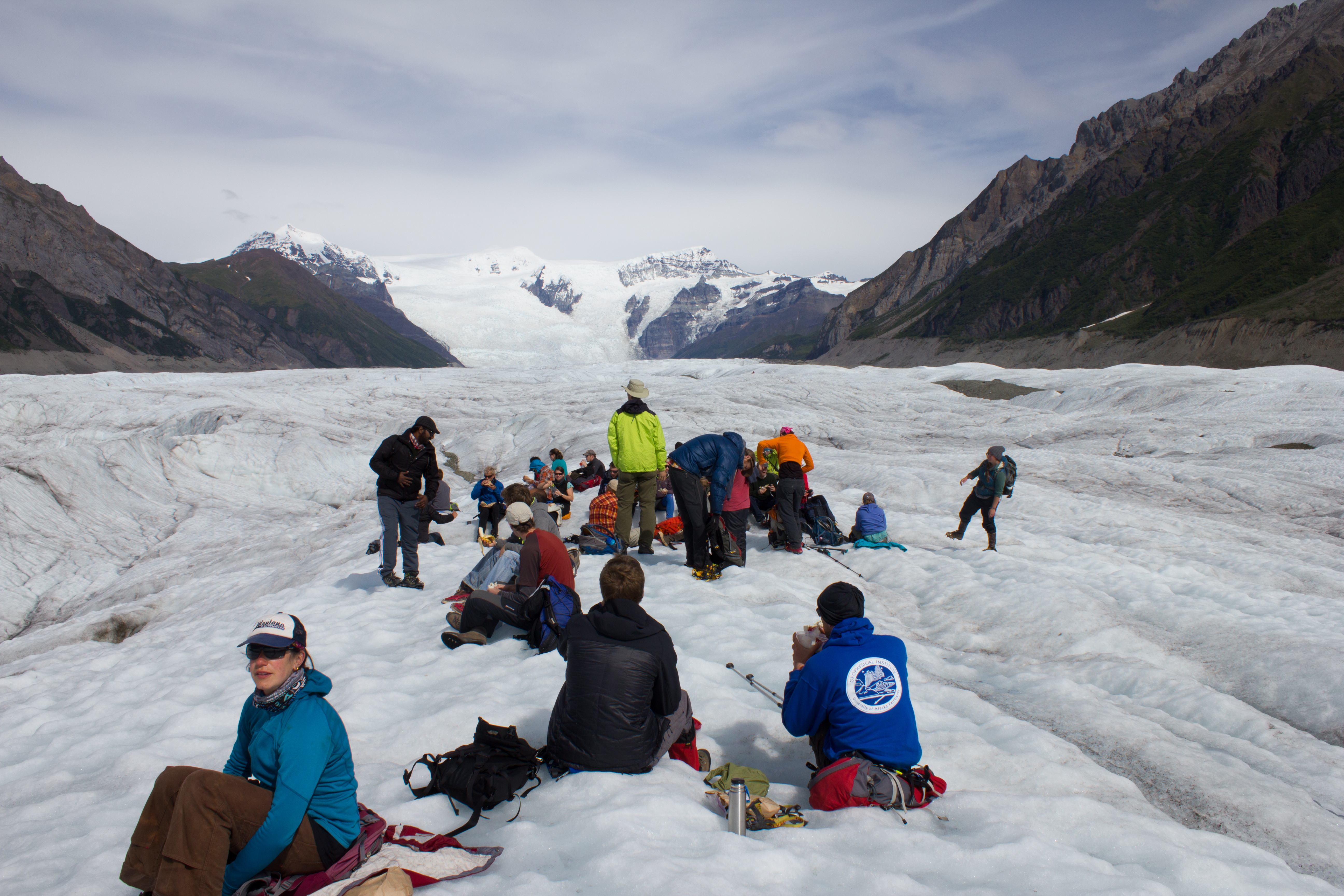
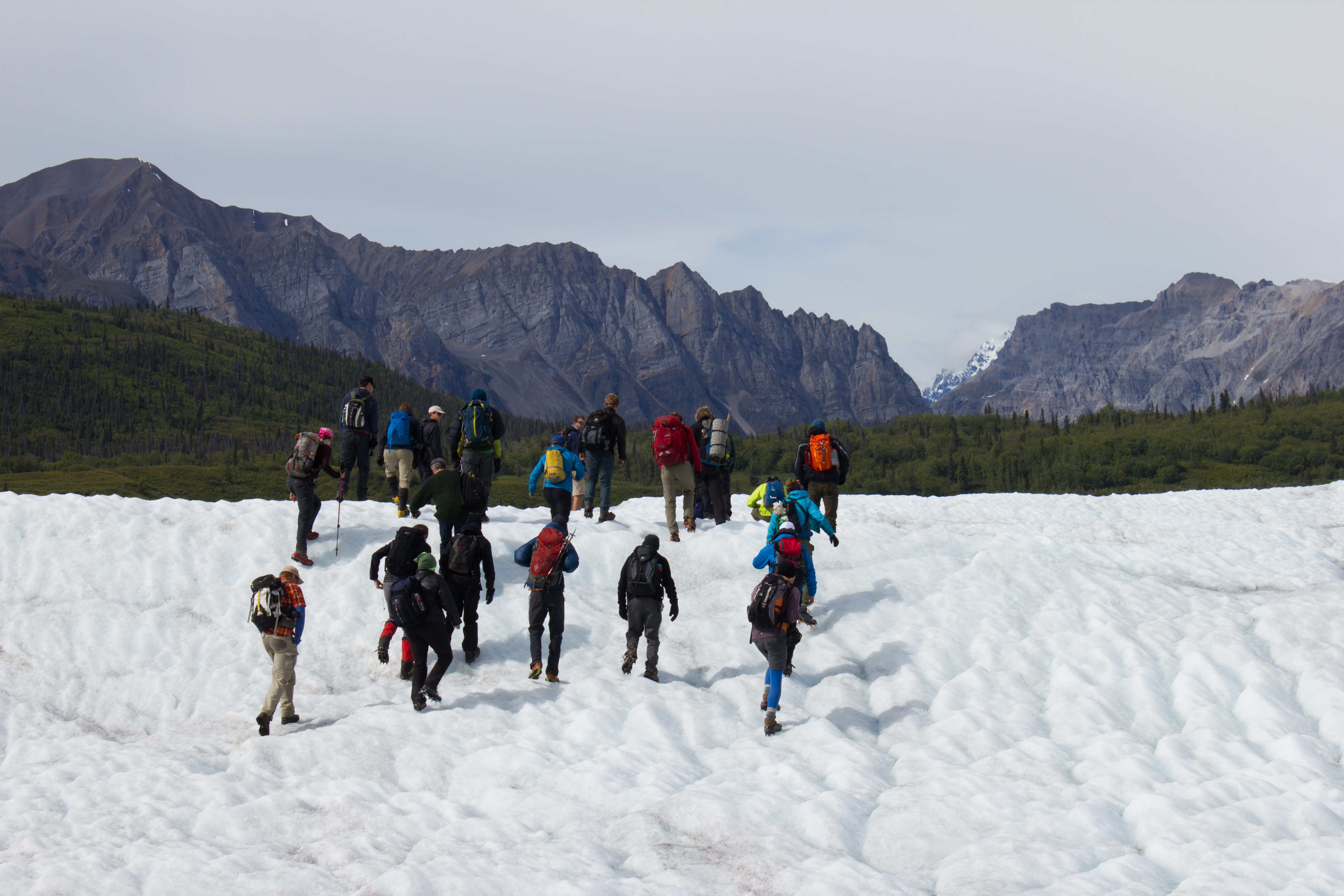
At the beginning of August, I was fortunate enough to take part in the International Glaciology Summer School, in beautiful Alaska. The school is run every two years, directed by Regine Hock of the University of Alaska Fairbanks, and brings together students and instructors from all over the world. Based in the Wrangell mountains, in the old mining village of McCarthy, the school provides an opportunity to learn from experts in a range of fields within glaciology, and perhaps more importantly, provides a platform to engage with and get to know others embarking on research in the science. The 10 days of the course were some of the most enjoyable of my academic career, and I left inspired by the enthusiasm and curiosity of my peers.
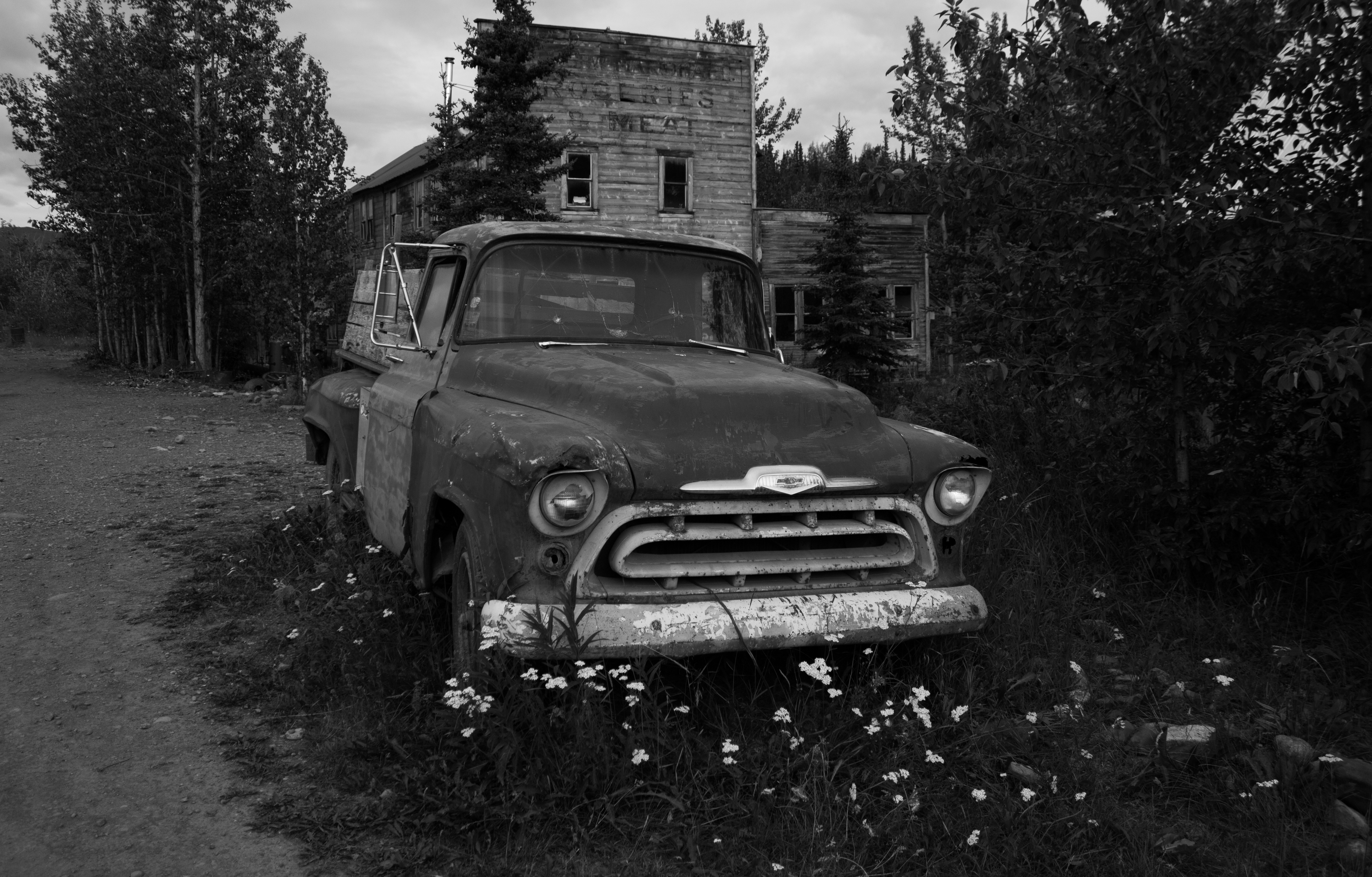
Below are images from some of the activities that took place outside of the classroom (click on images to enlarge).
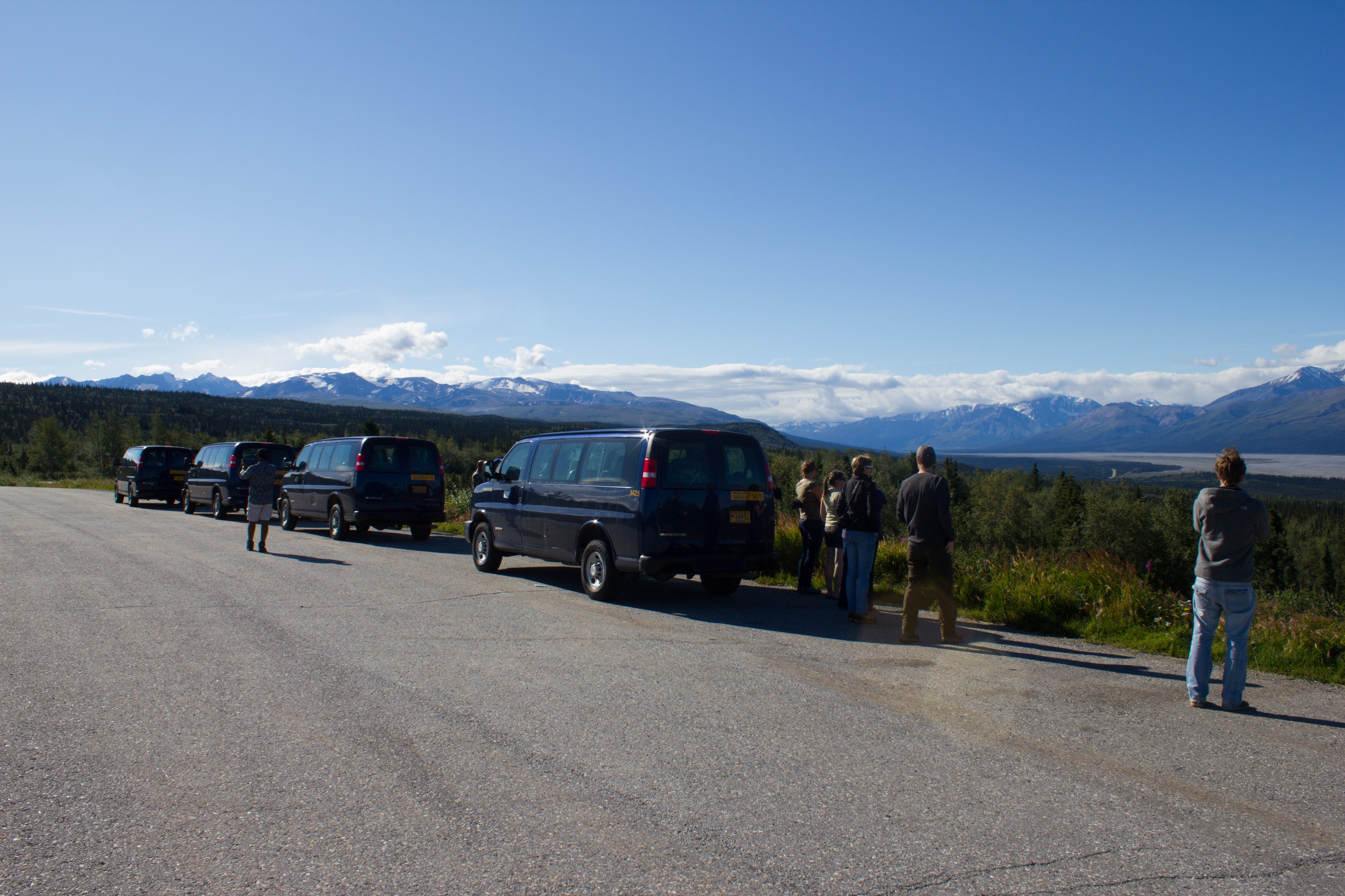
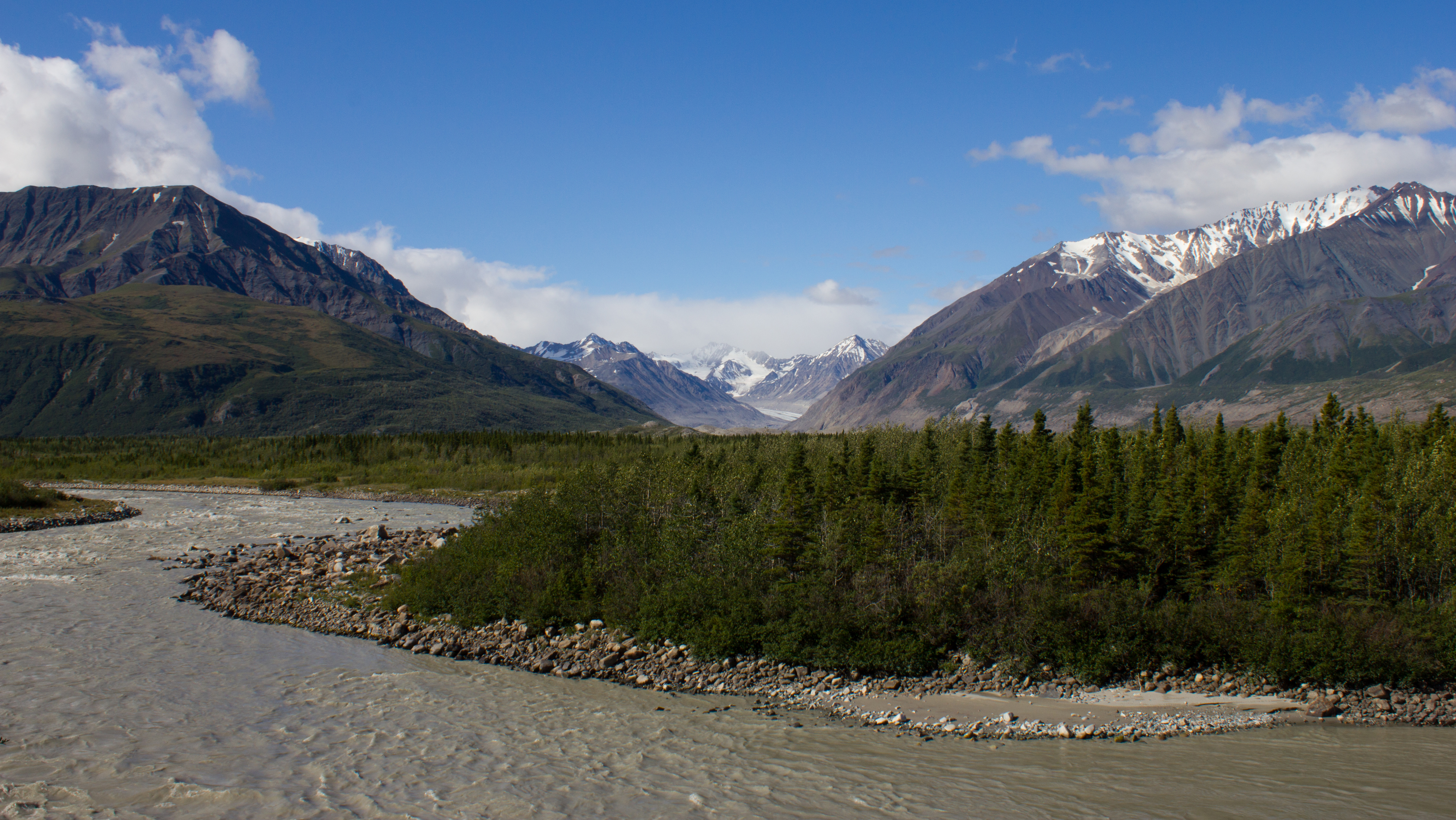
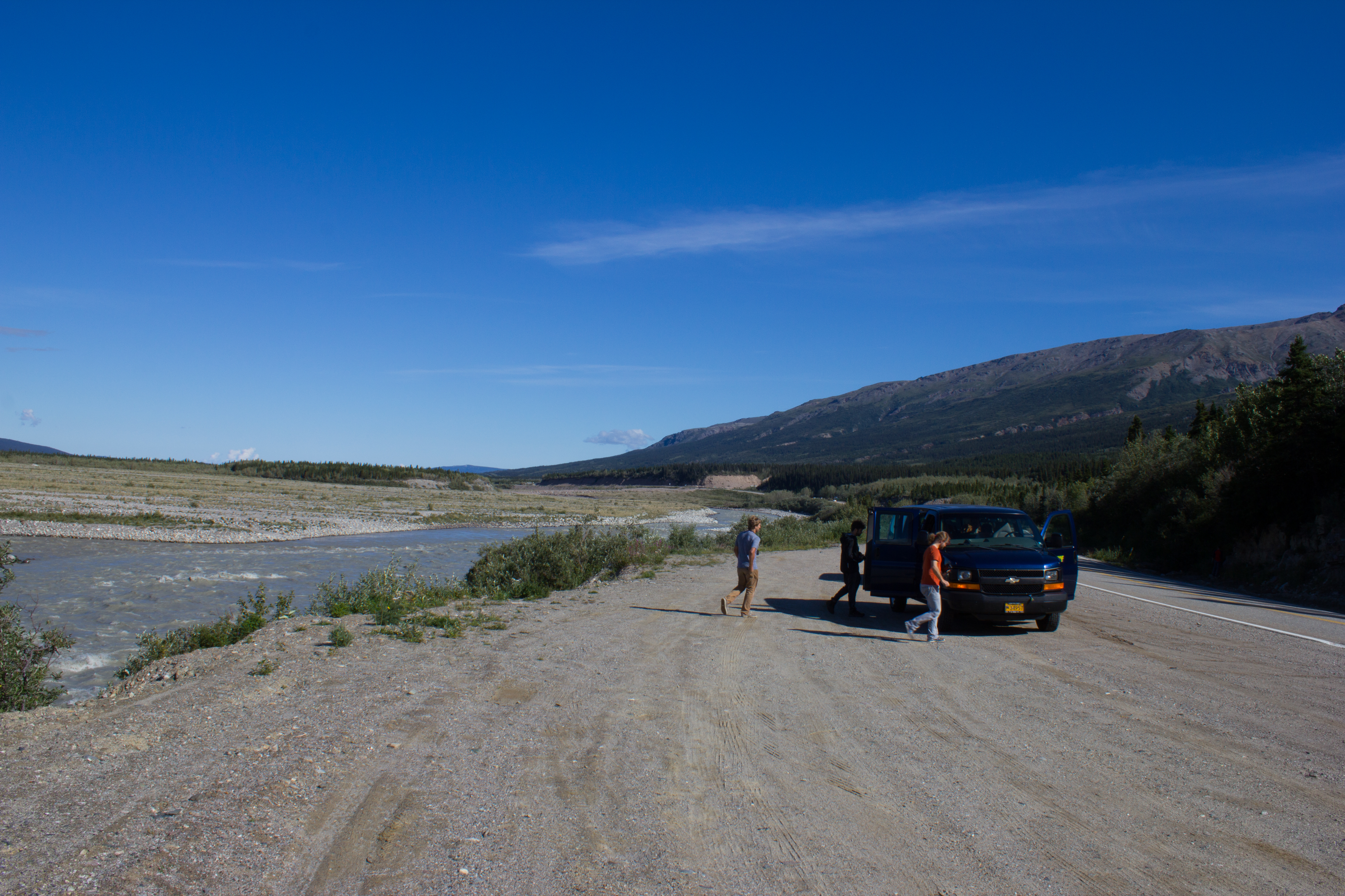
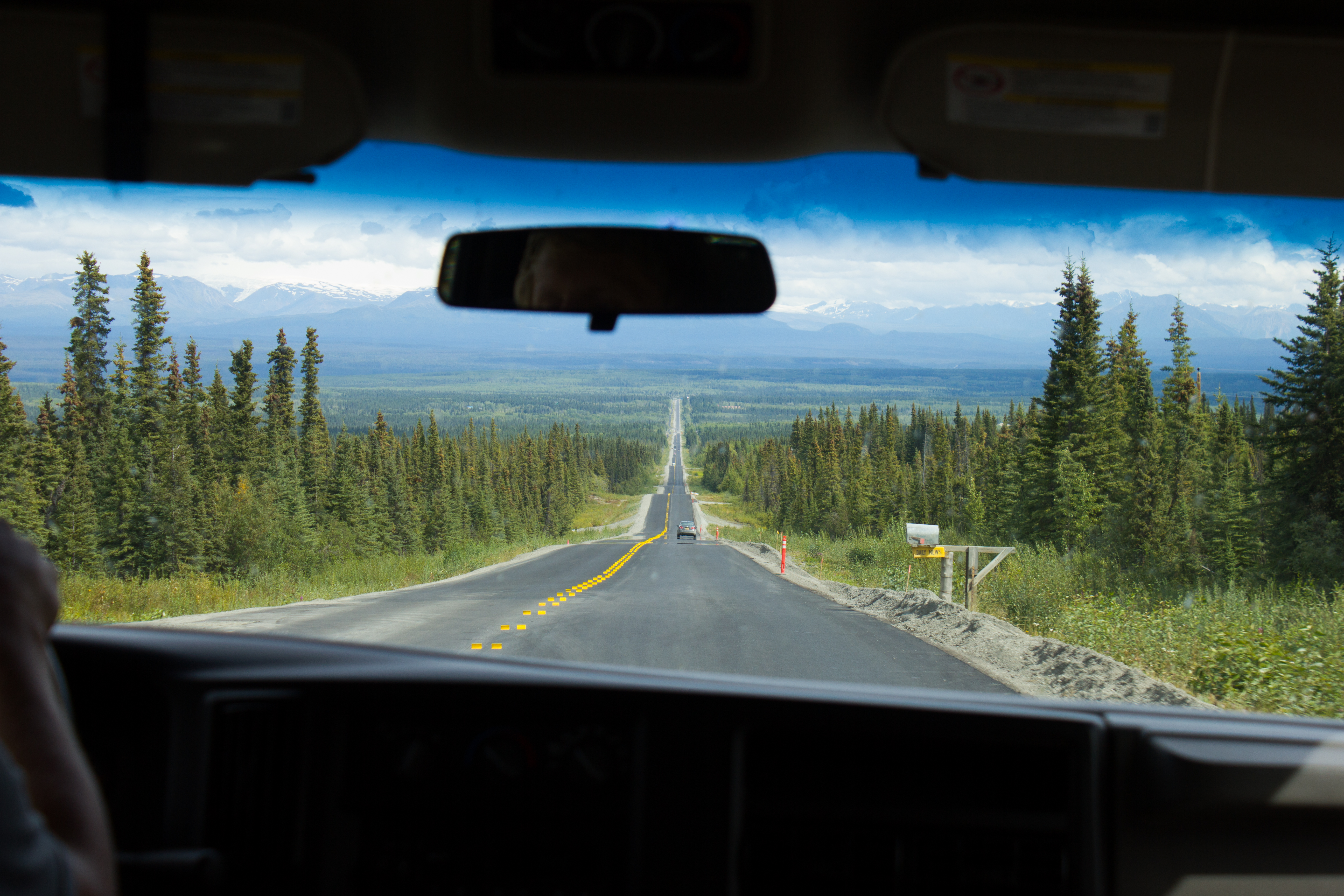
Hitting the road from Fairbanks to McCarthy, and aiming for the mountains.
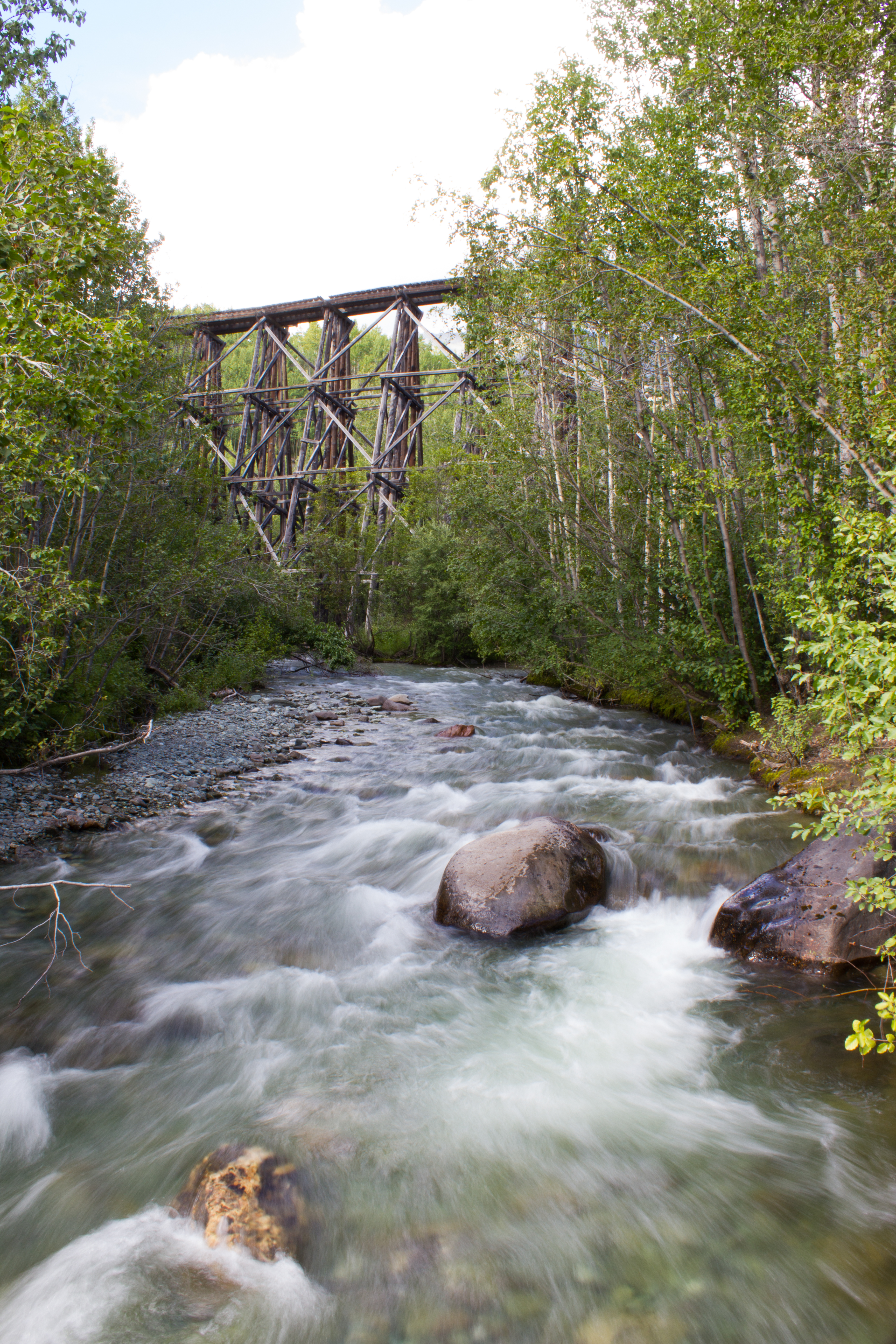
The drive to McCarthy took 11 hours, but it was broken up with regular stops.
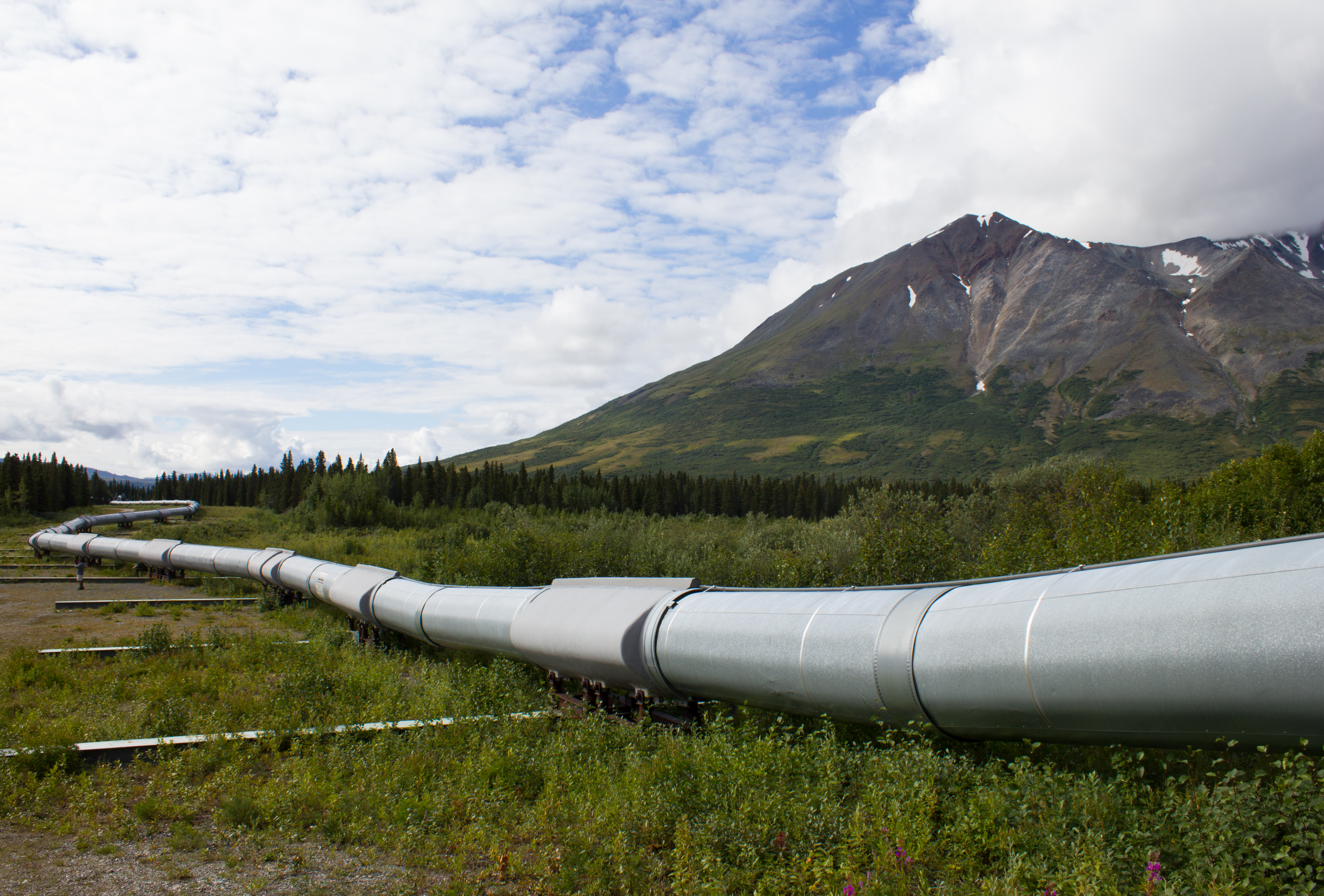
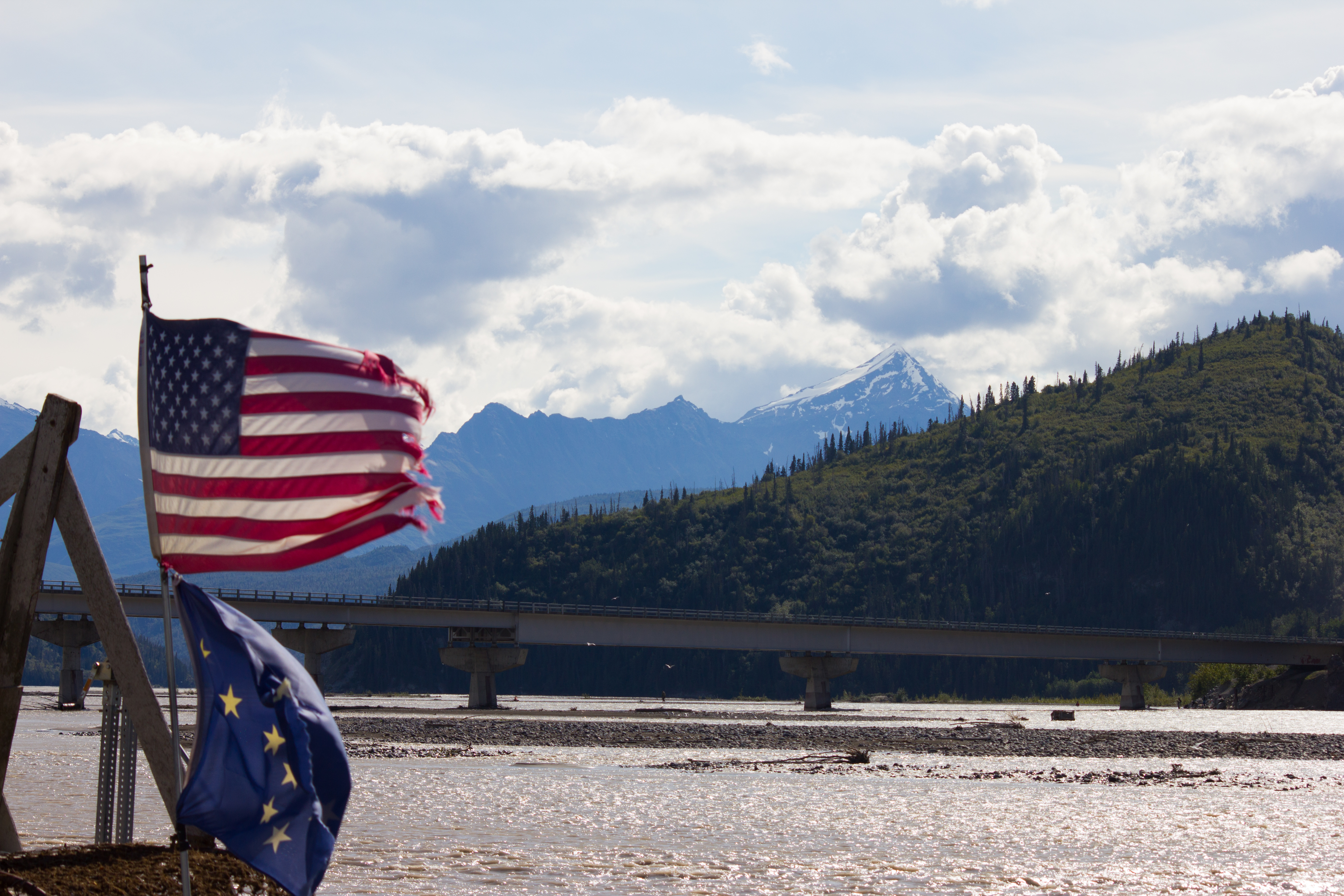
The Trans-Alaska pipeline crosses the entire state, north to south, from Prudhoe Bay to Valdez, stretching over 1,200km.
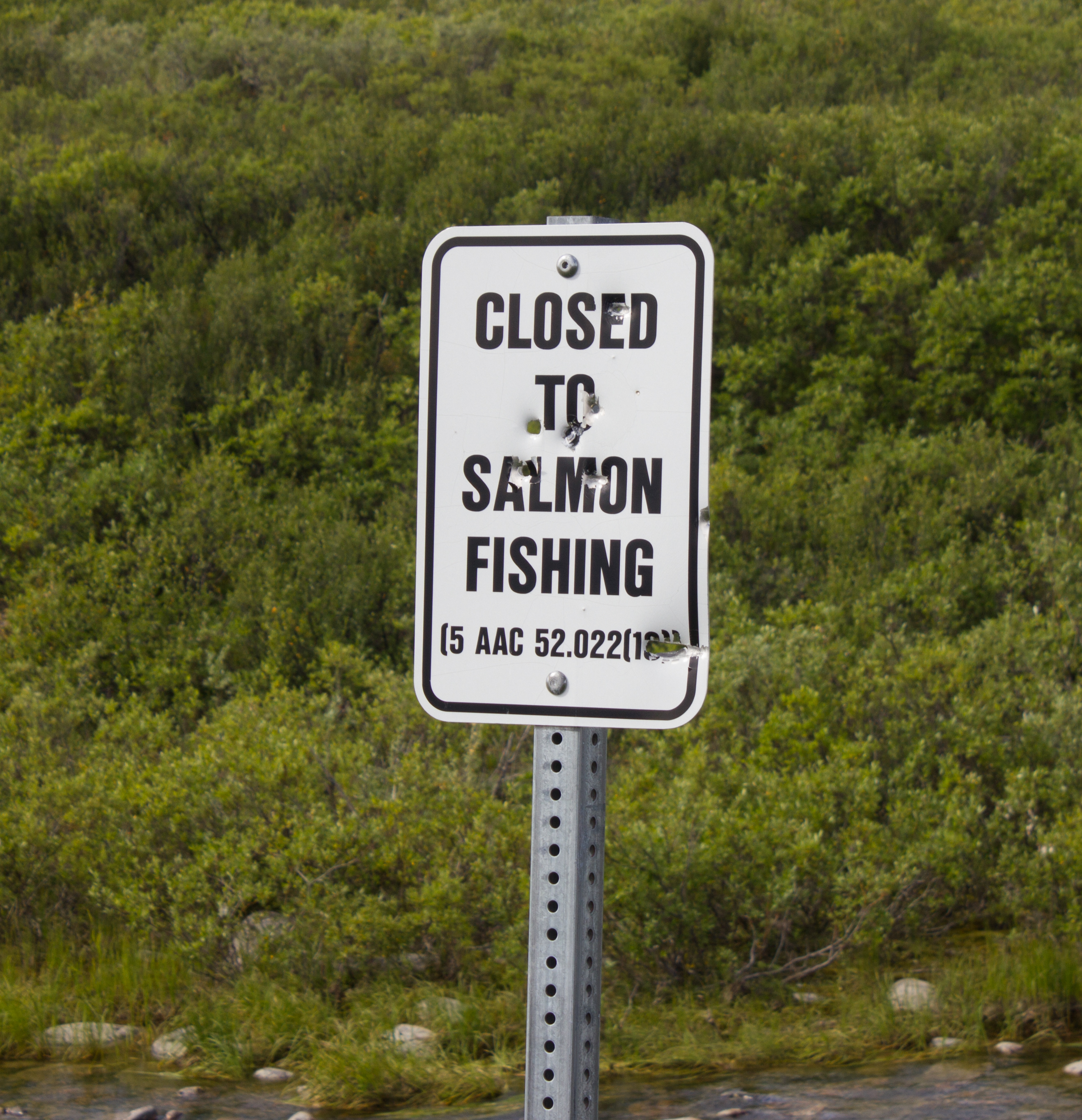
Not a popular decision. In reality, the salmon at this point have traveled so far inland from the sea (to reach spawning grounds) that they have lost much of their mass, and are not suitable for consumption.
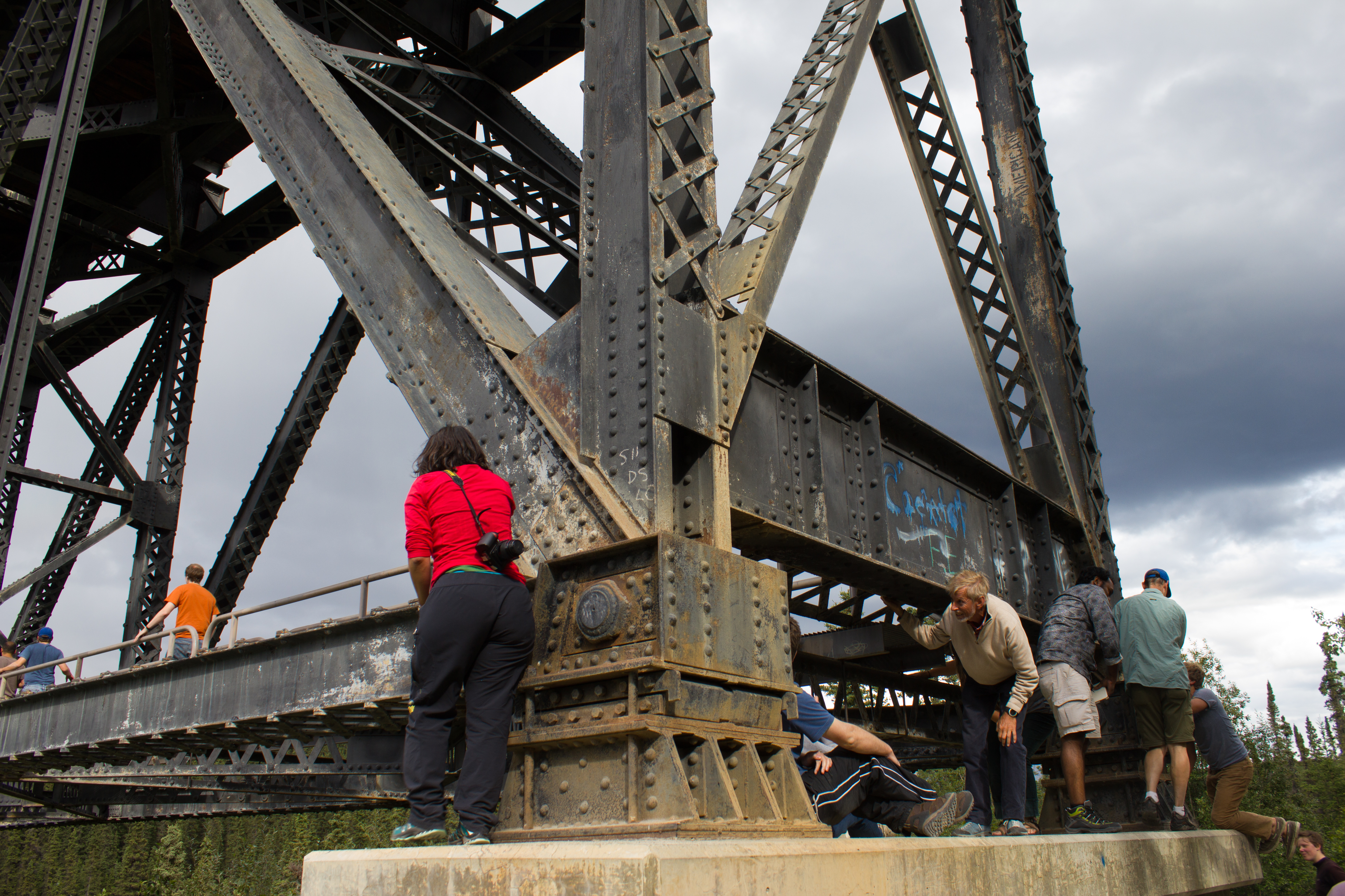
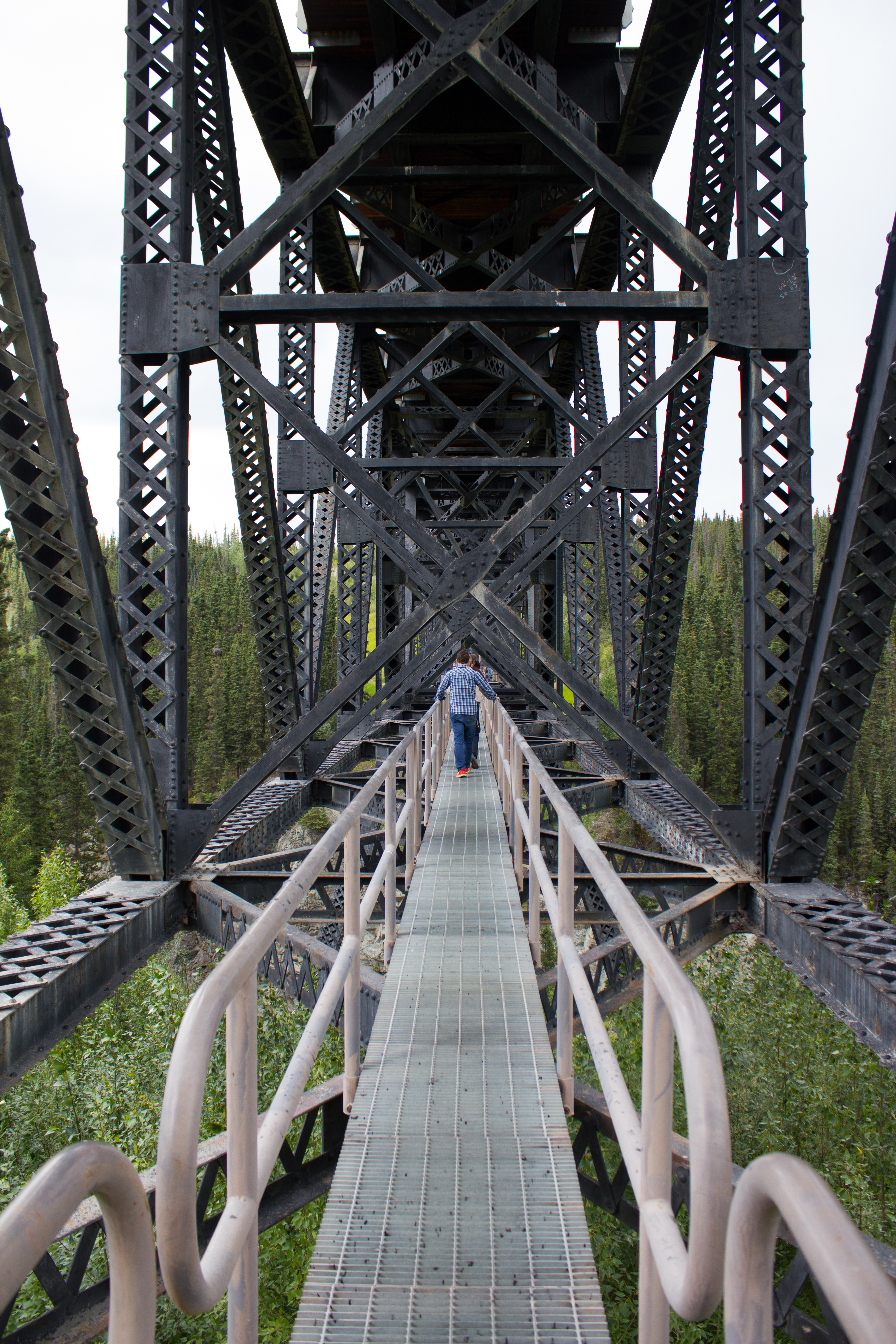
Hanging out under bridges.
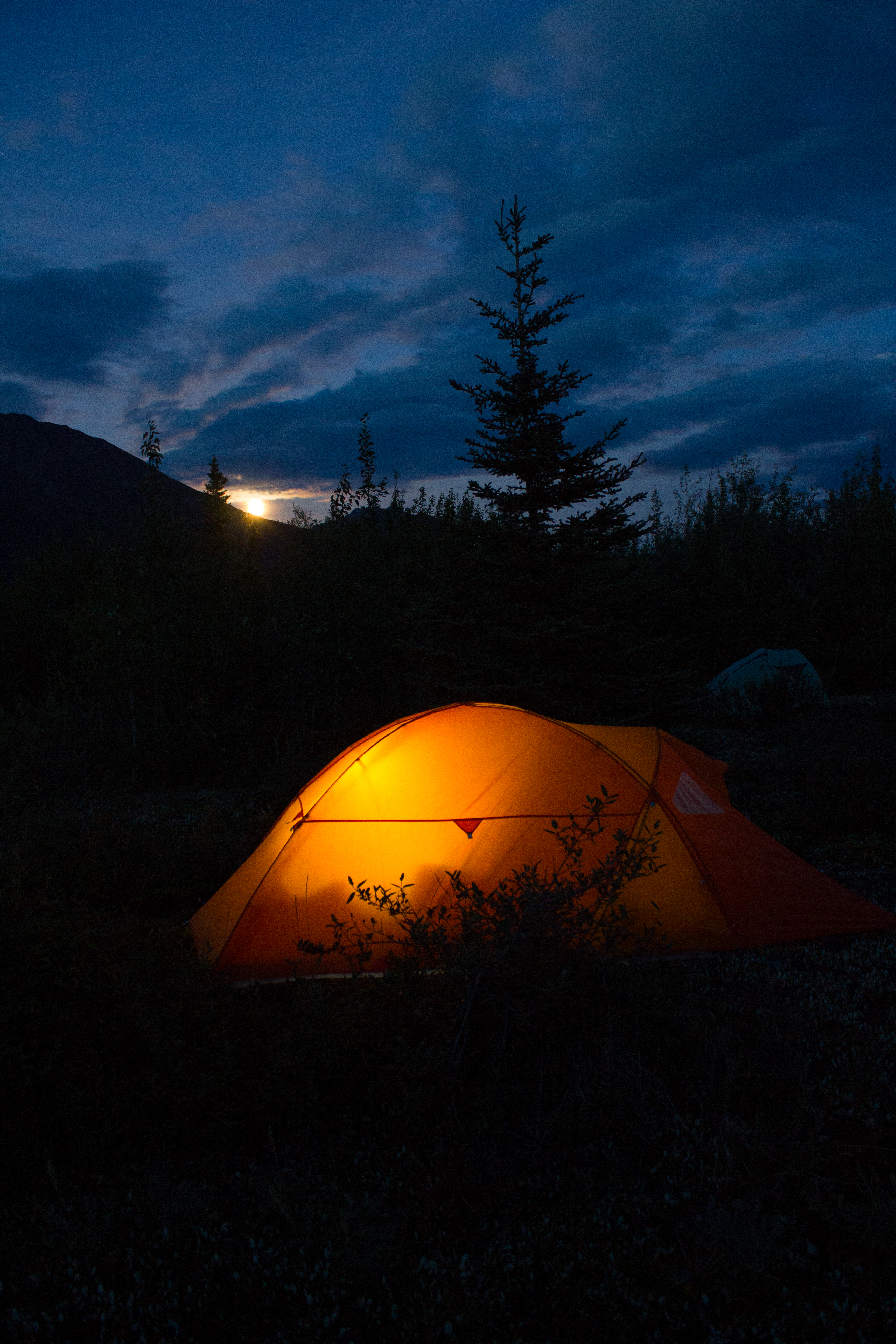
Home for the next 10 days
Moonrise
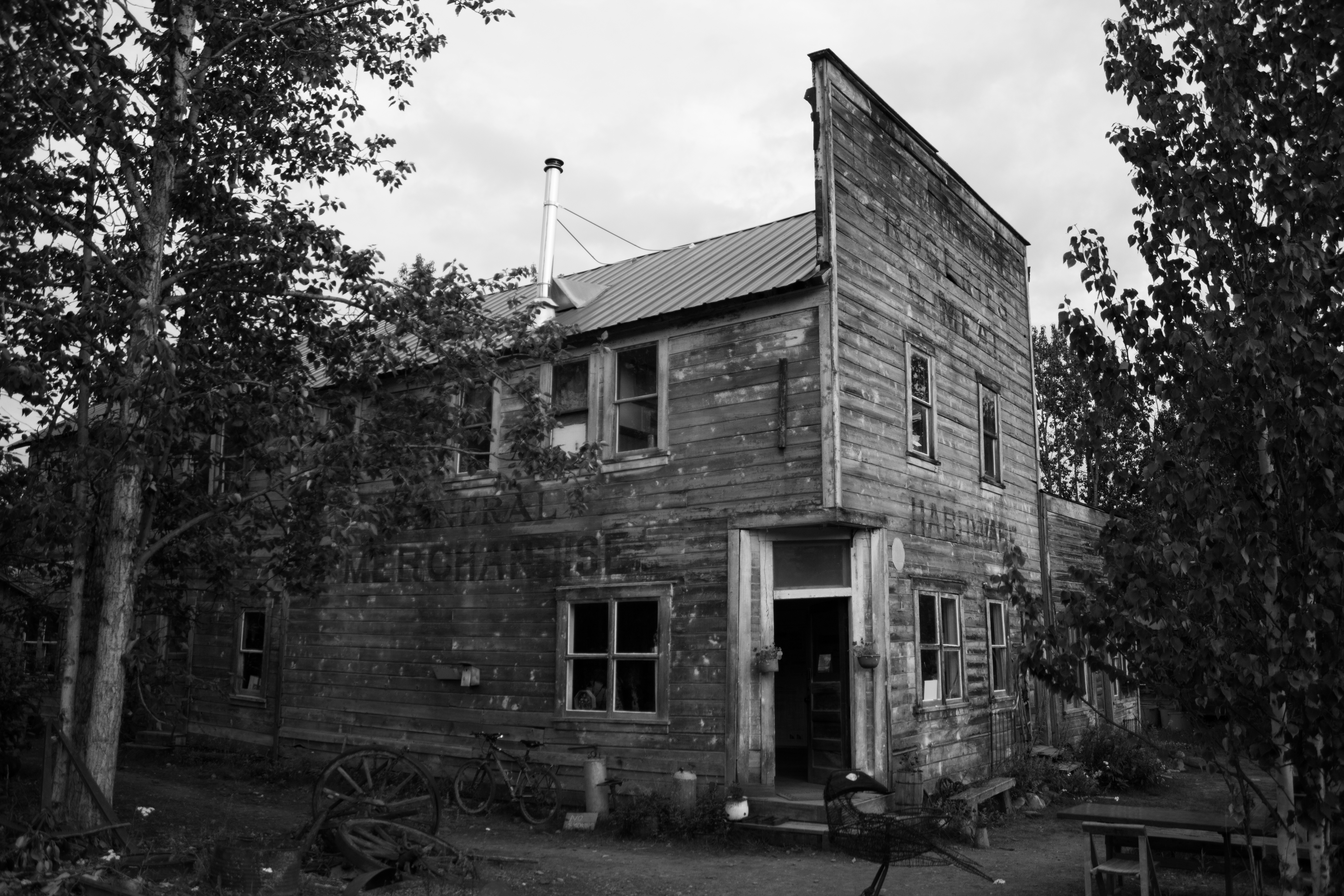
McCarthy’s old hardware store, now operated as the Wrangle Mountain Center, was our base for the summer school.
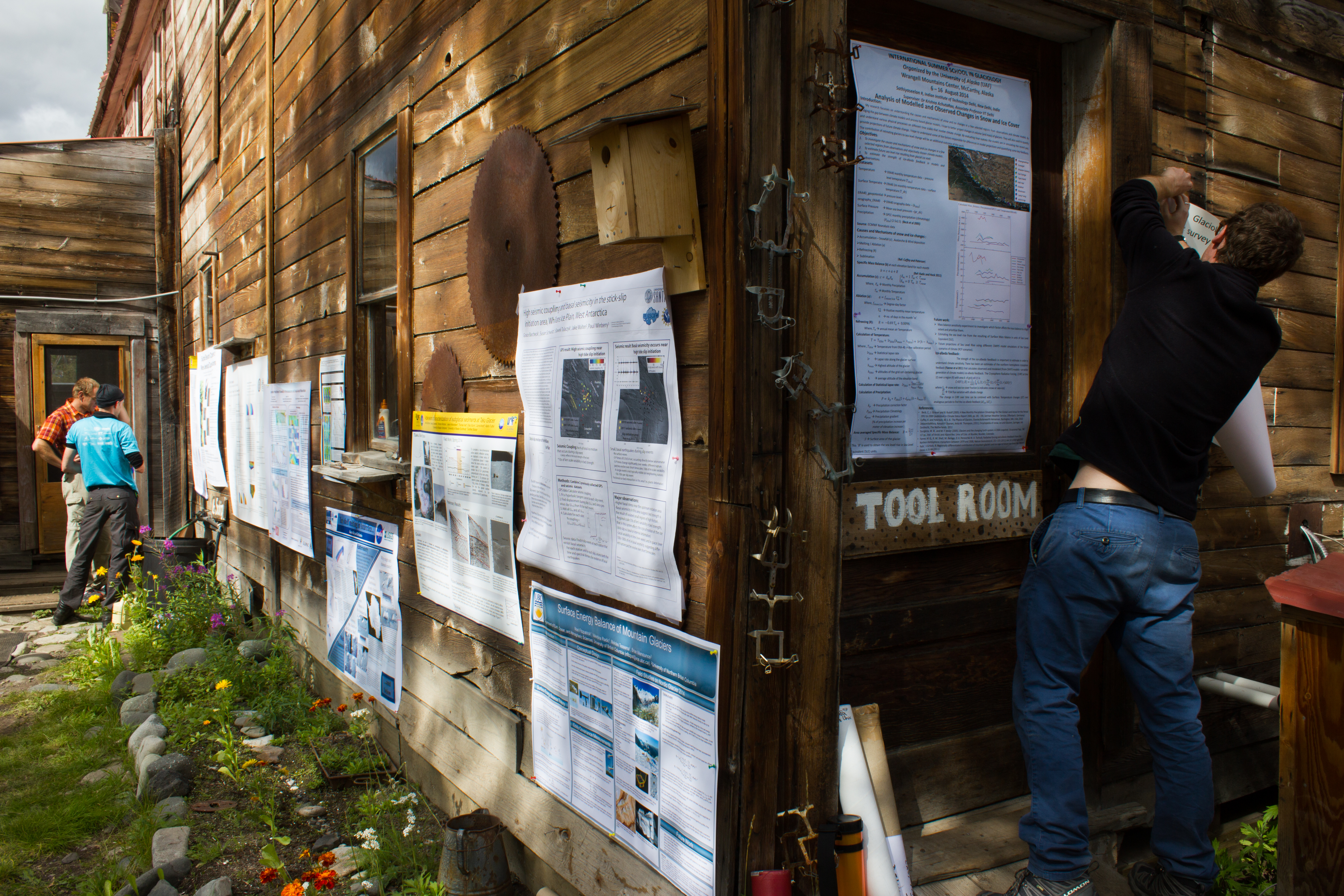
Tools of the trade. An unconventional poster session.
Friday night softball in McCarthy.
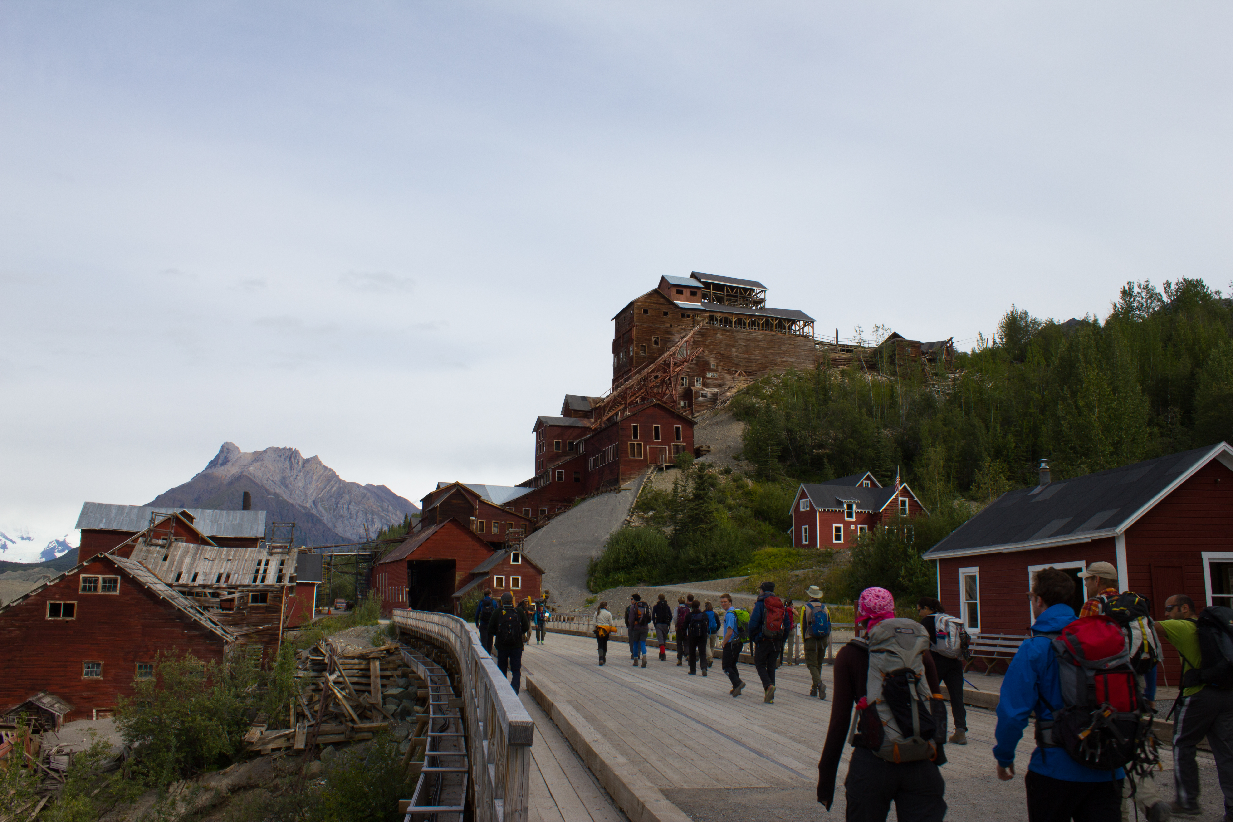
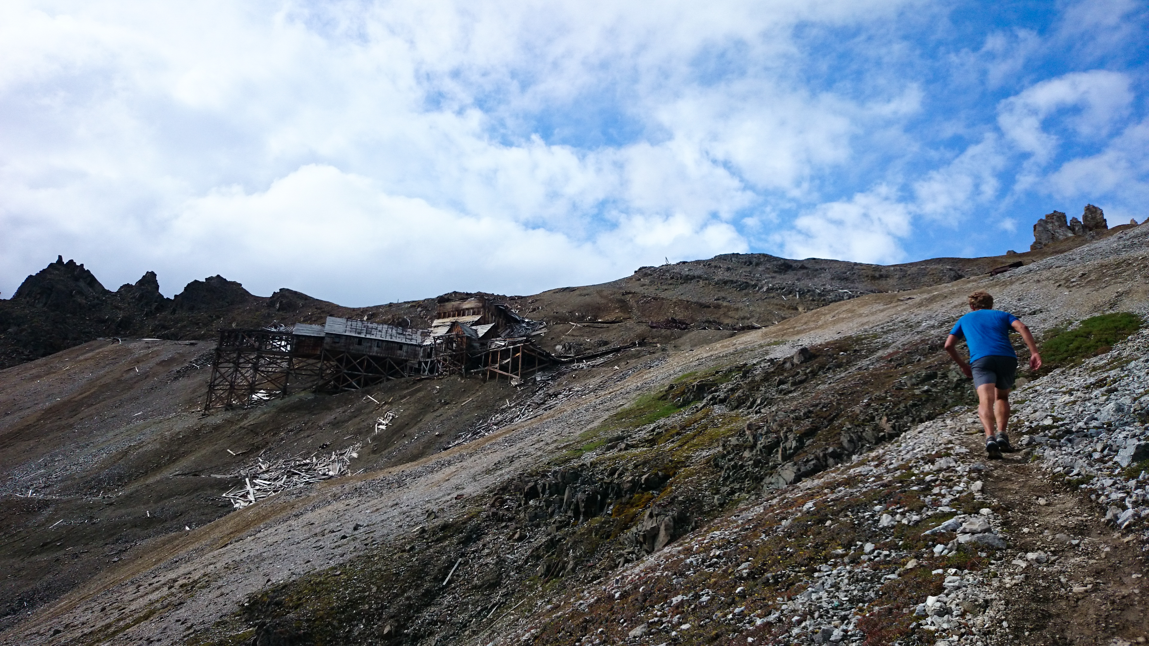
Passing Kennicott mill, where ore from the surrounding copper mines was processed in the early 1900s.
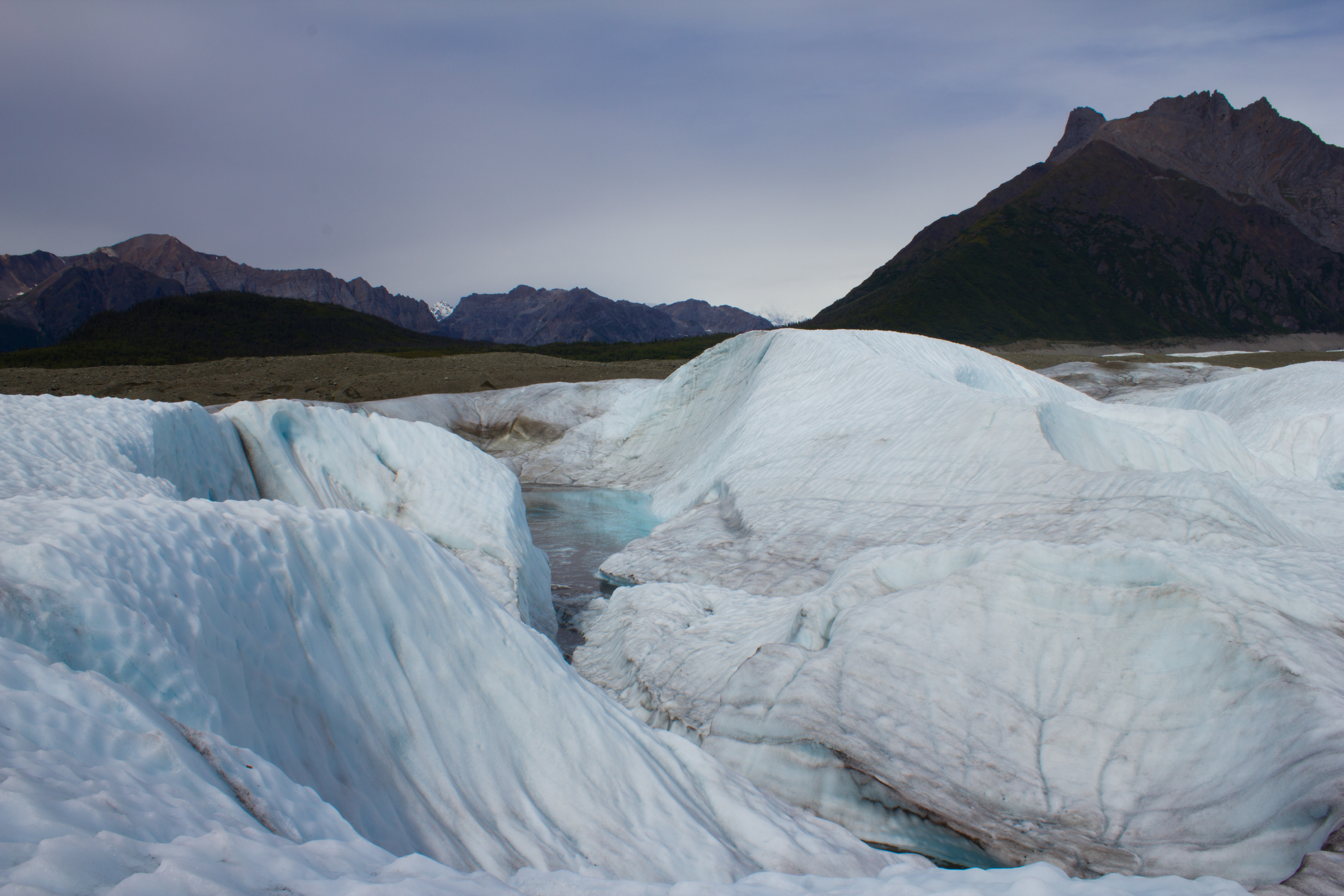
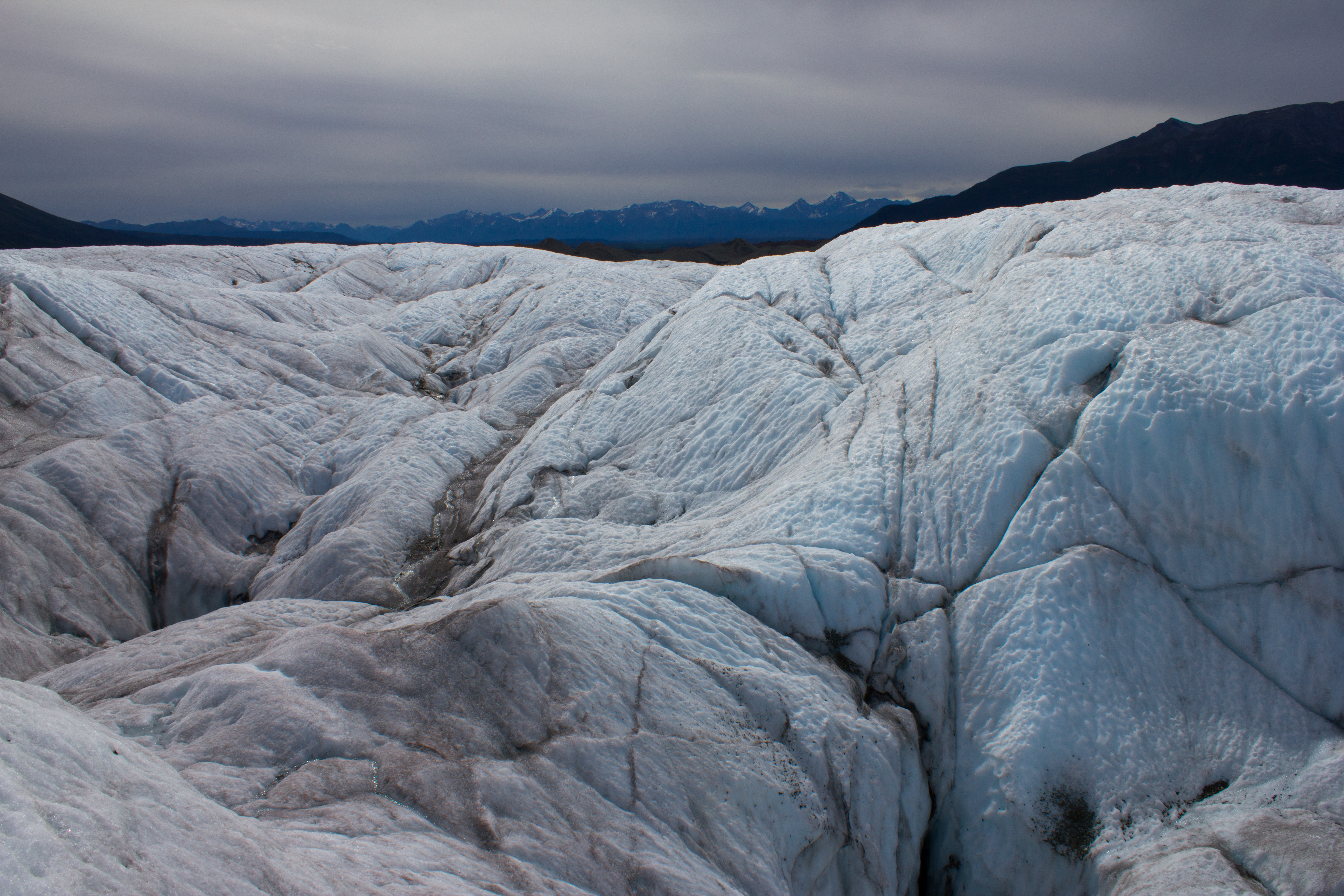
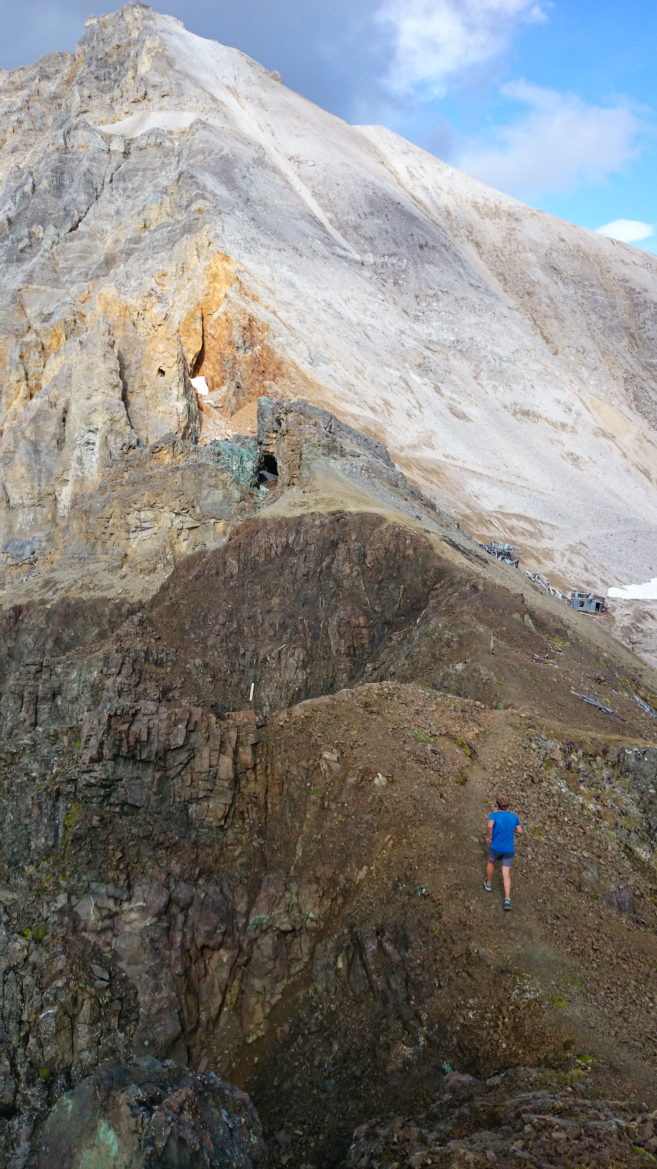
Mike in action. The expanse of what looks like gravel in the background is actually the lower reaches of the Kennicott glacier; the ridges are composed predominately of ice, coated with a thin layer of debris. The material comes from the lateral moraines of numerous tributary glaciers that have merged with the main trunk of the Kennicott, higher up the valley.
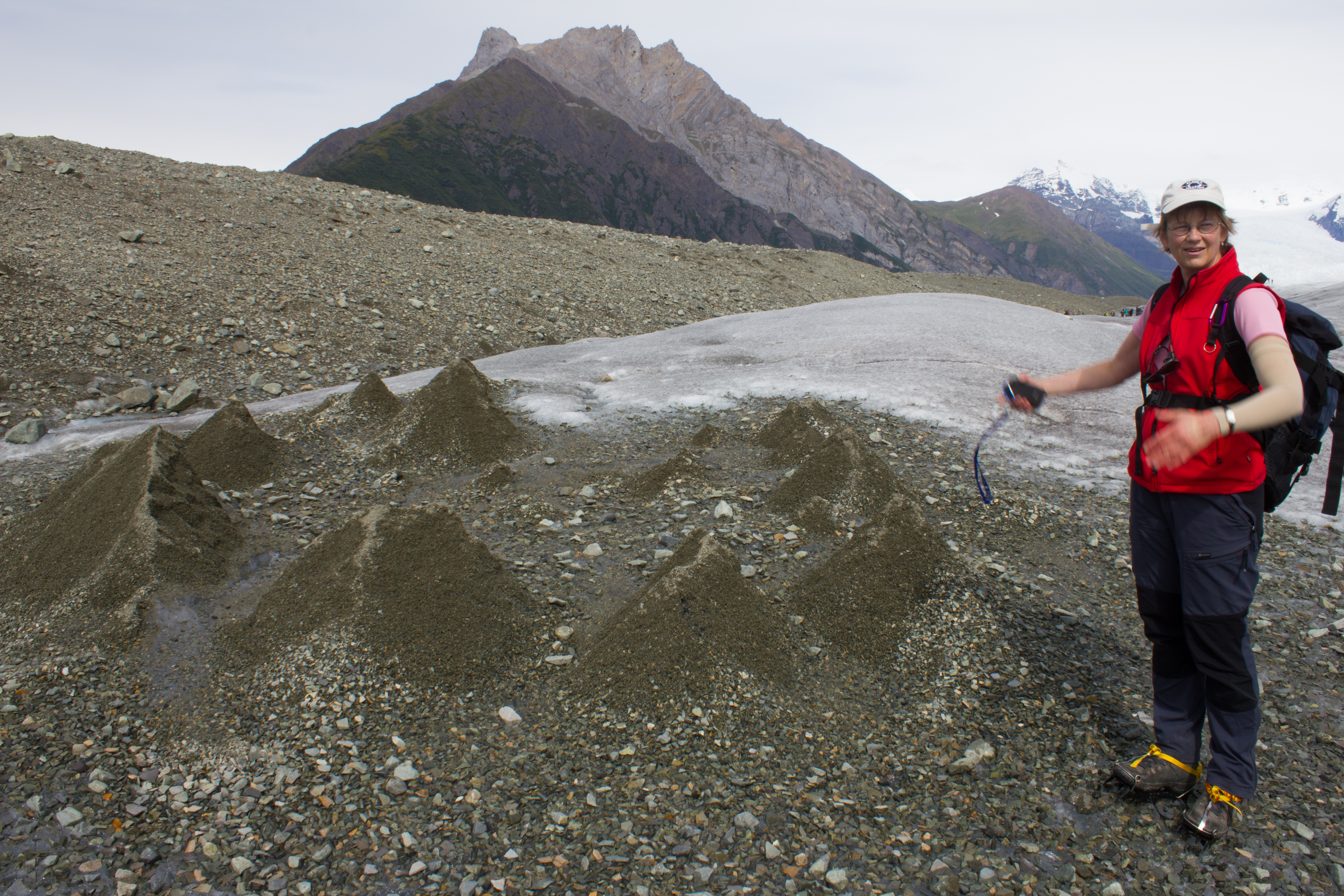
Footprint of a moulin. Debris carried downwards by water is deposited at the bottom of the moulin. When the overlying snow and ice melts (and the moulin collapses), the ice covered by this material melts slower than the surrounding exposed ice, resulting in these ridges.
Glaciologists in their natural environment.
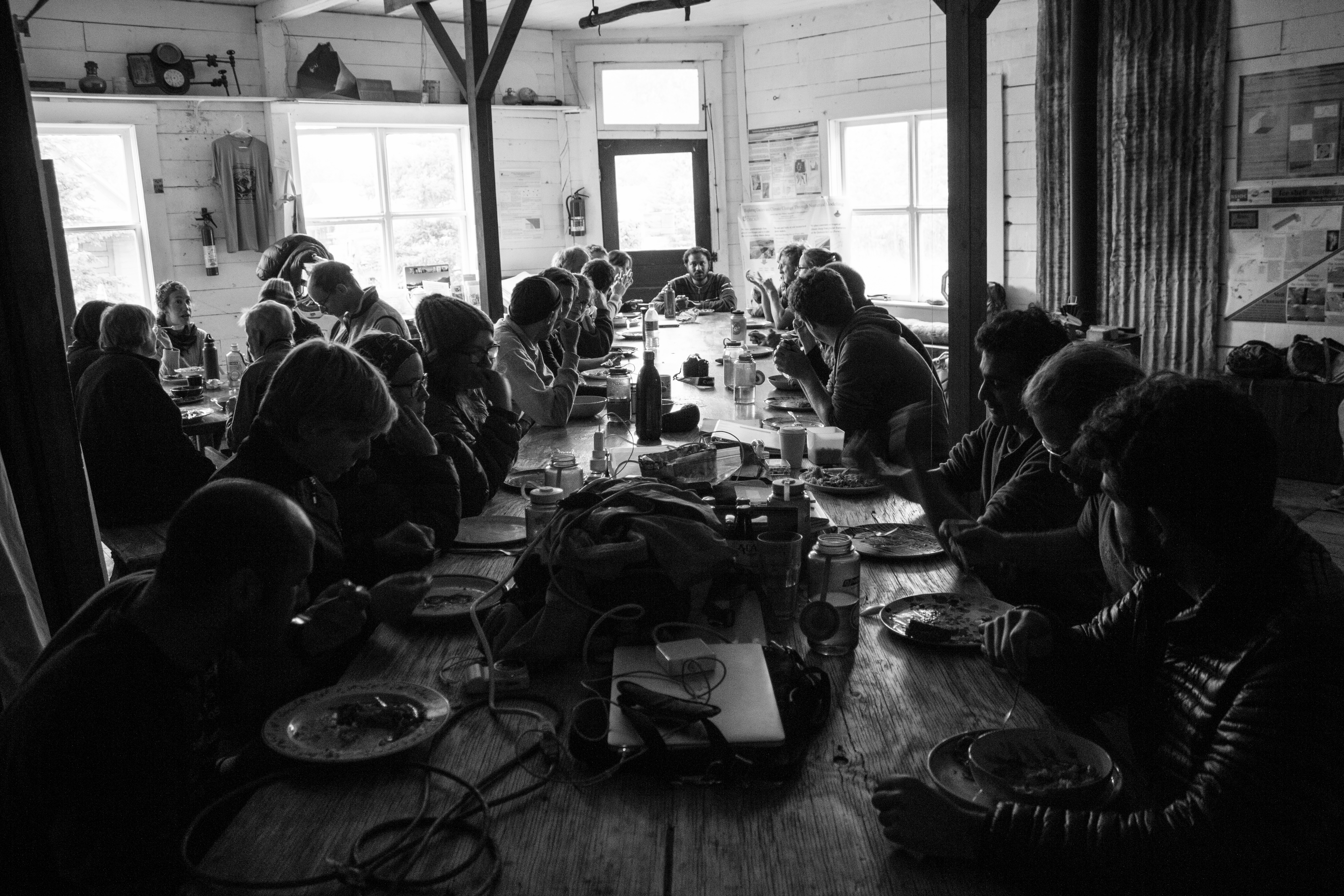
Lunch time
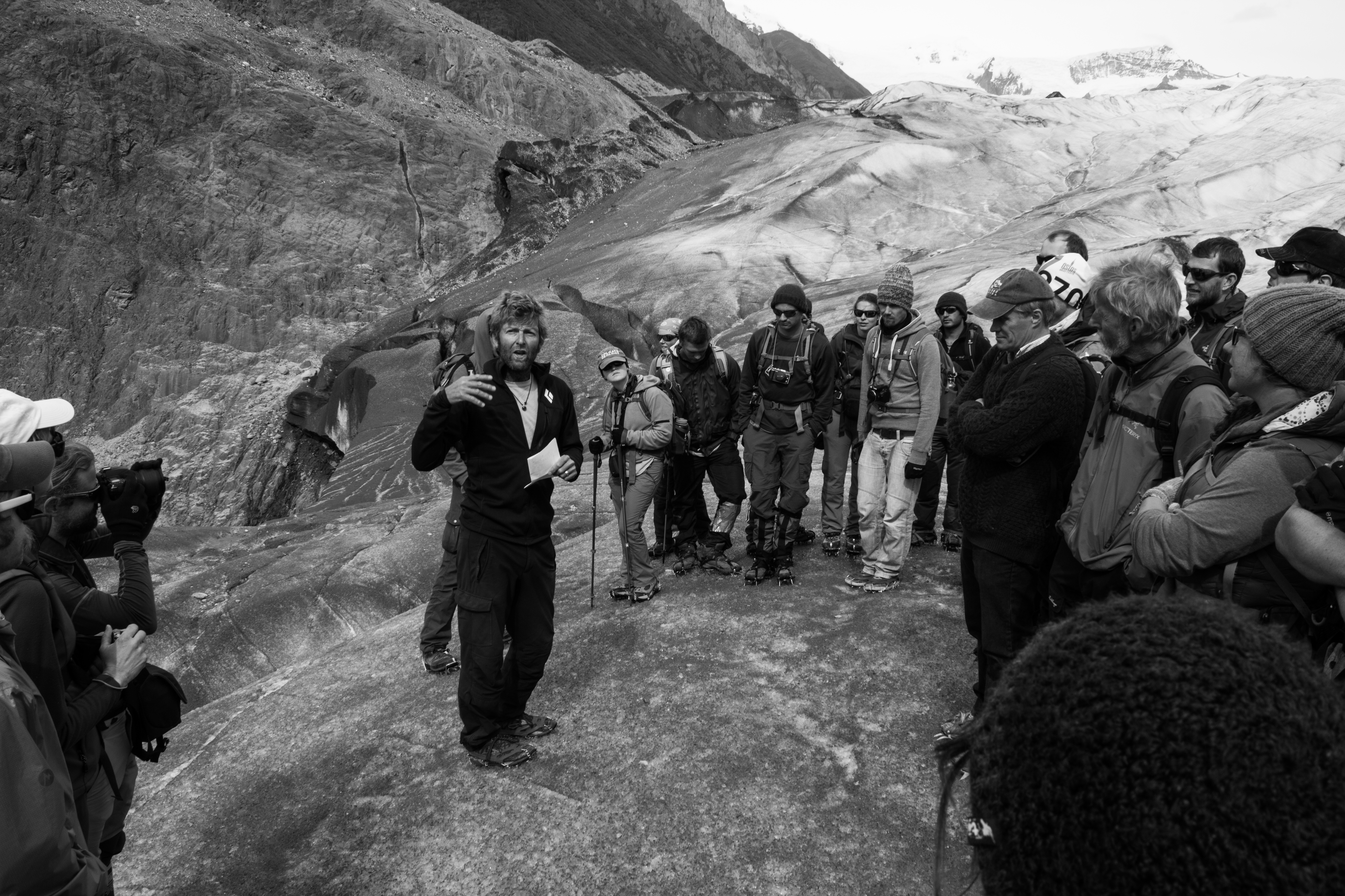
Holding court
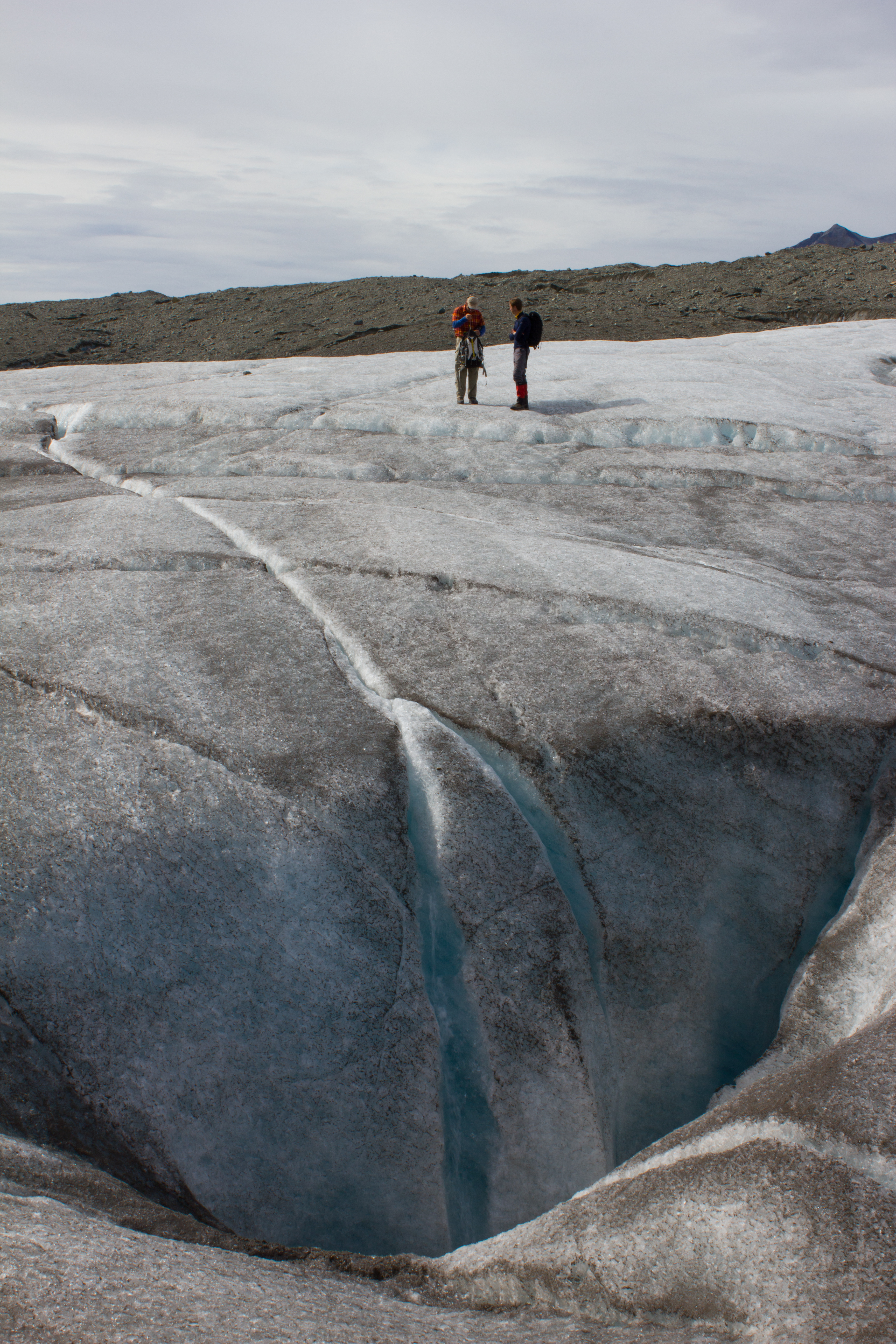
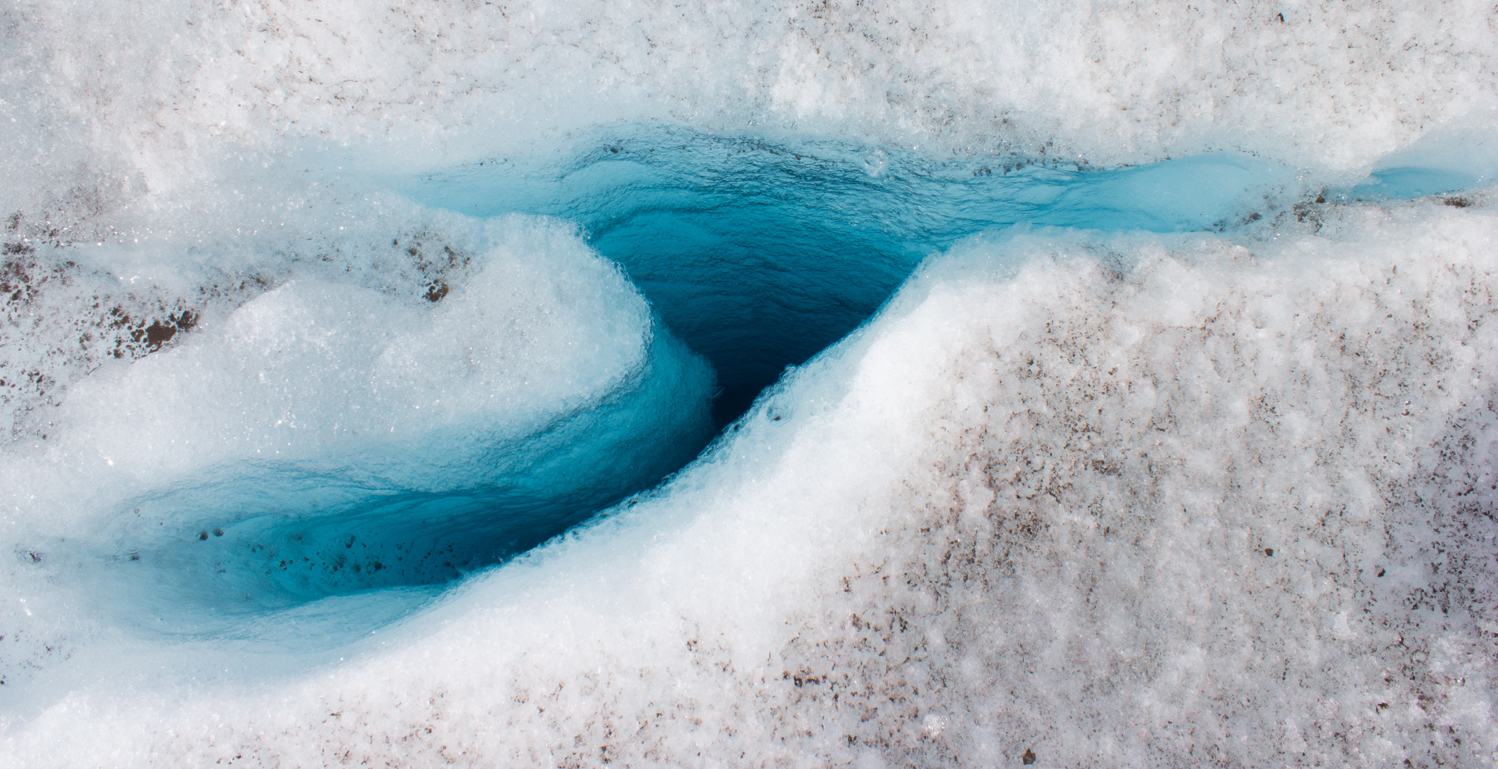
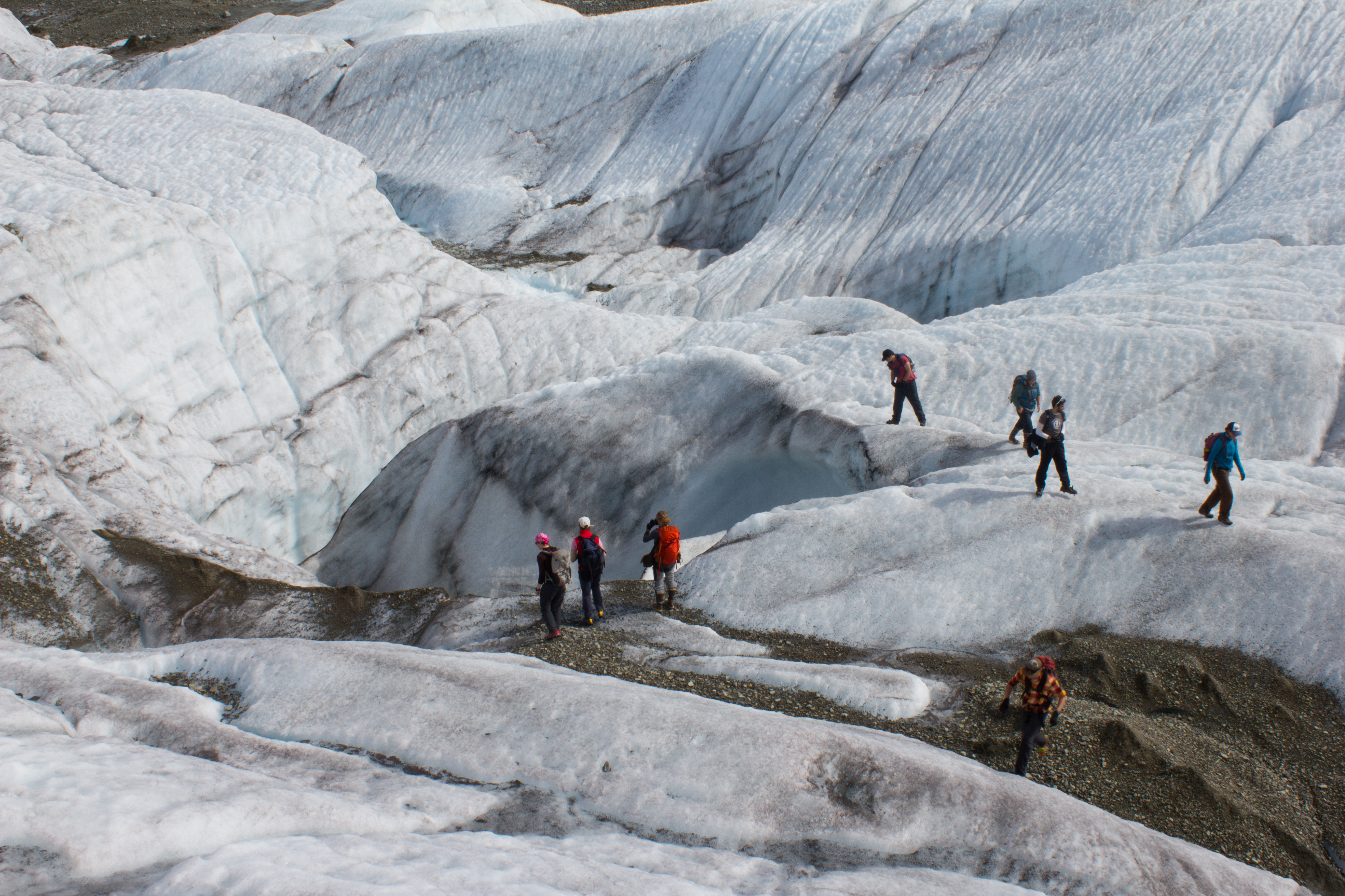
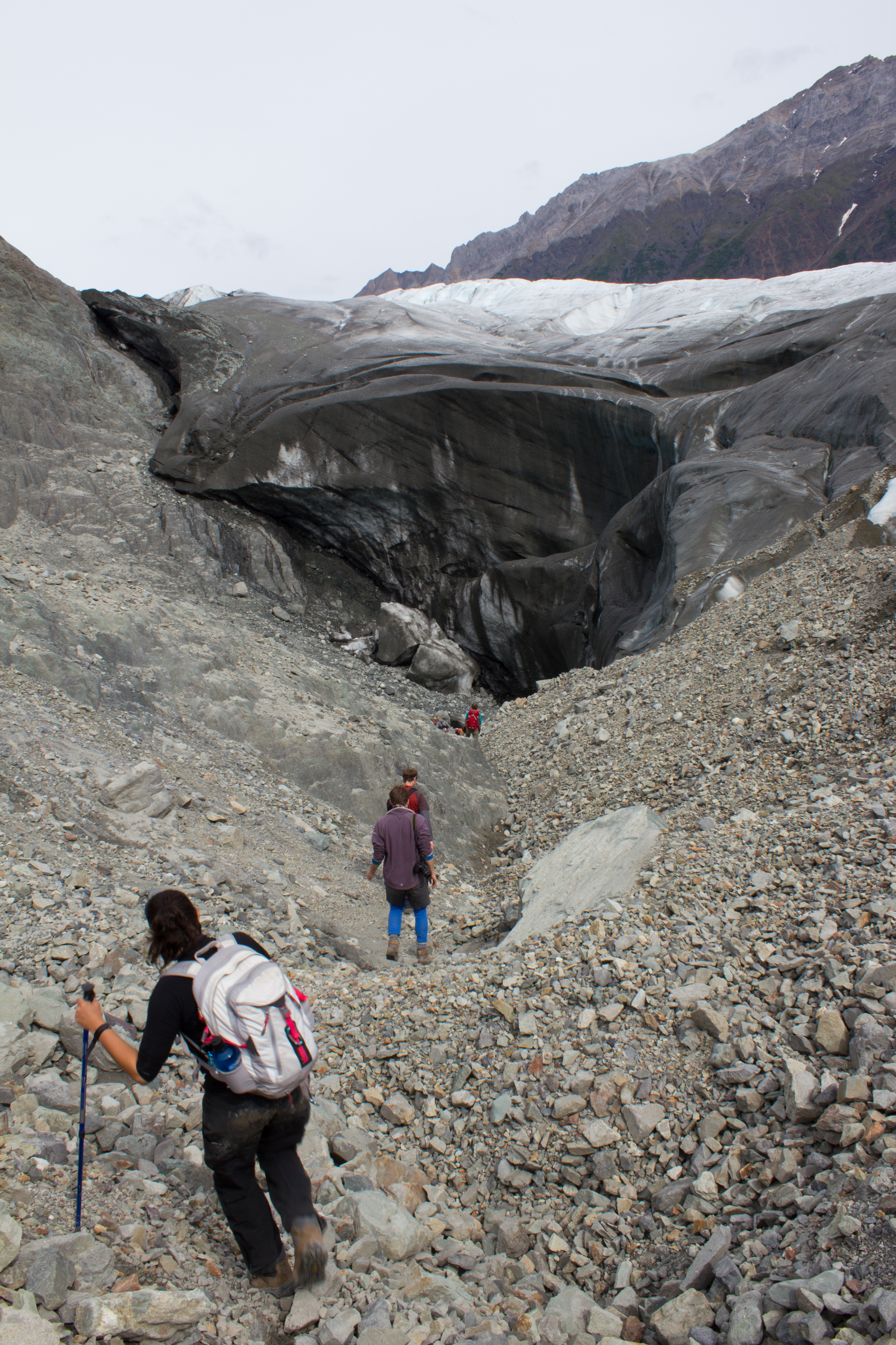
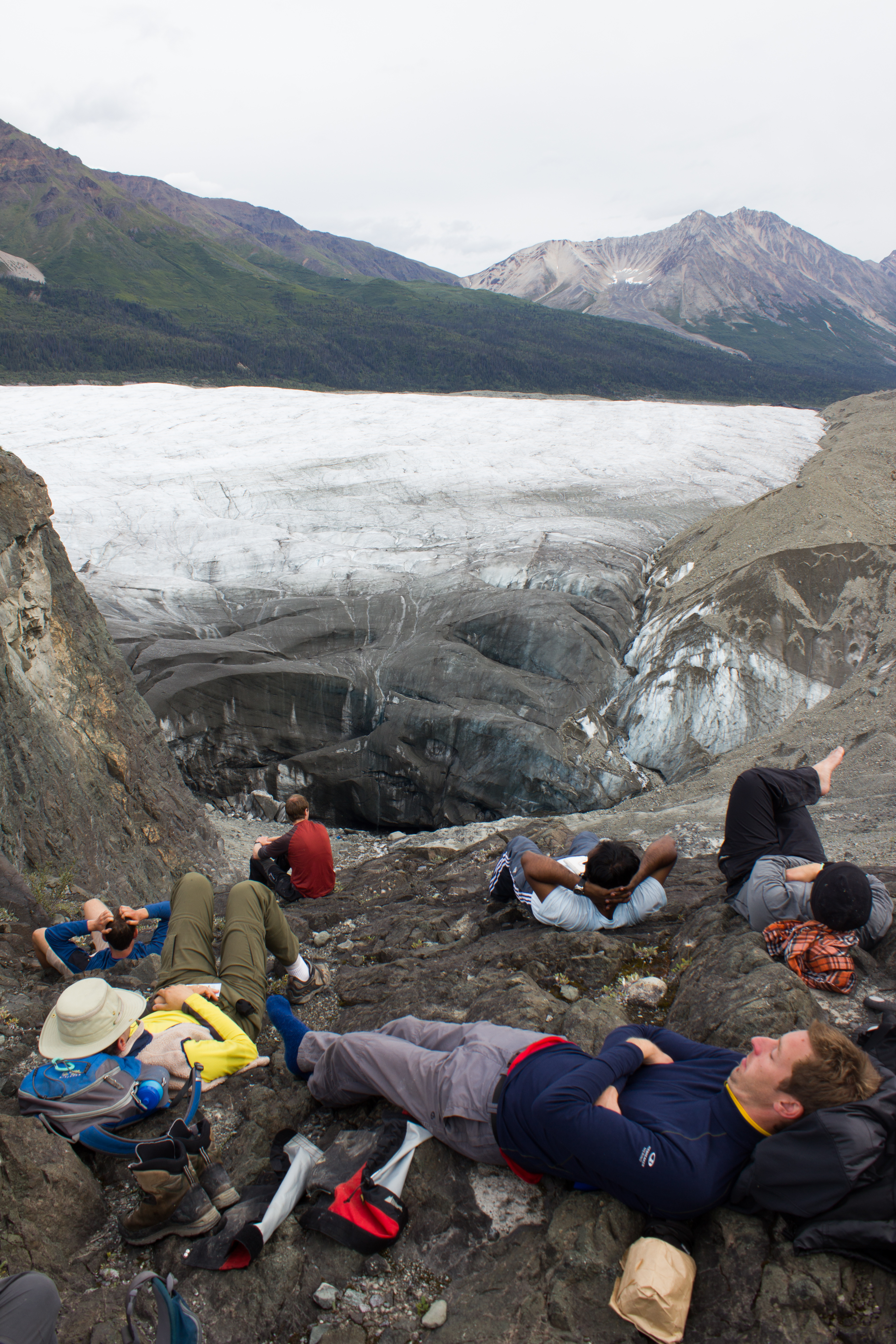
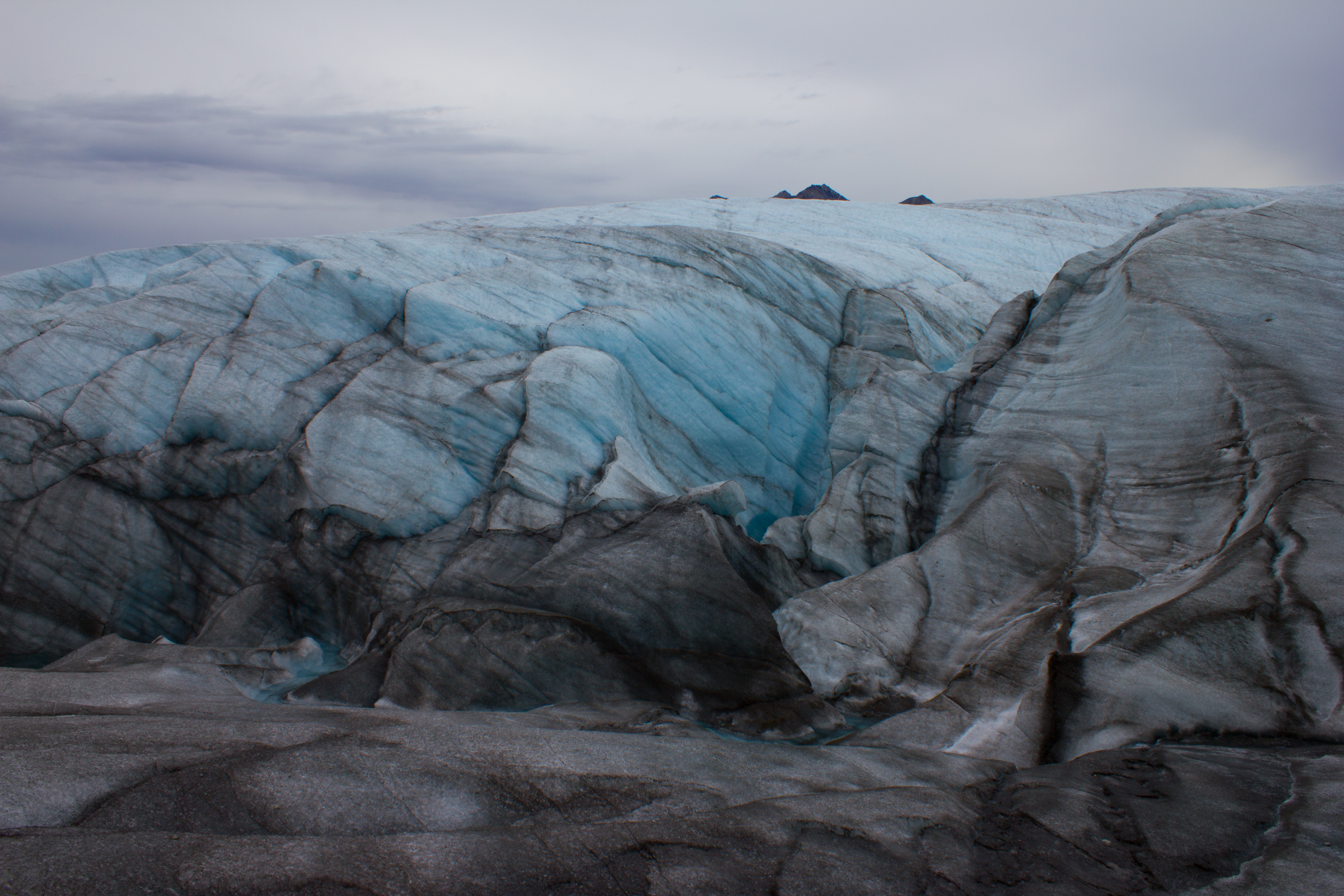
Descending into a temporarily empty lake basin. This lake, along the margin of the Root glacier, can fill or drain in a day; the water flowing through subglacial channels.
What lies beneath a glacier?
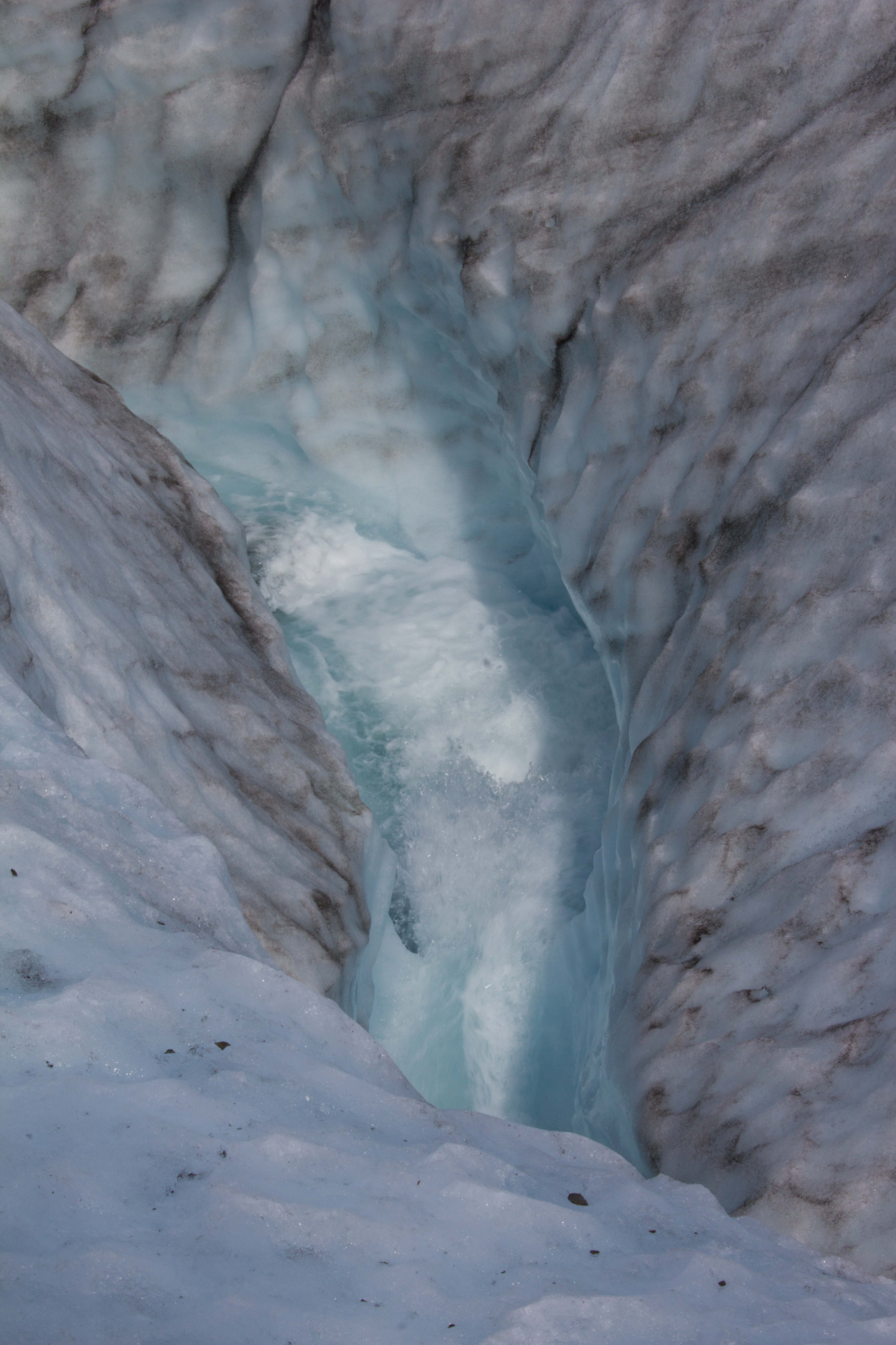
The blue room. I spent longer crouched in a subglacial river than is probably recommended, but it was a hard place to leave.
Having seen all there is to see on the surface of a glacier, Colin decides to check out a moulin (not really; don’t do this).
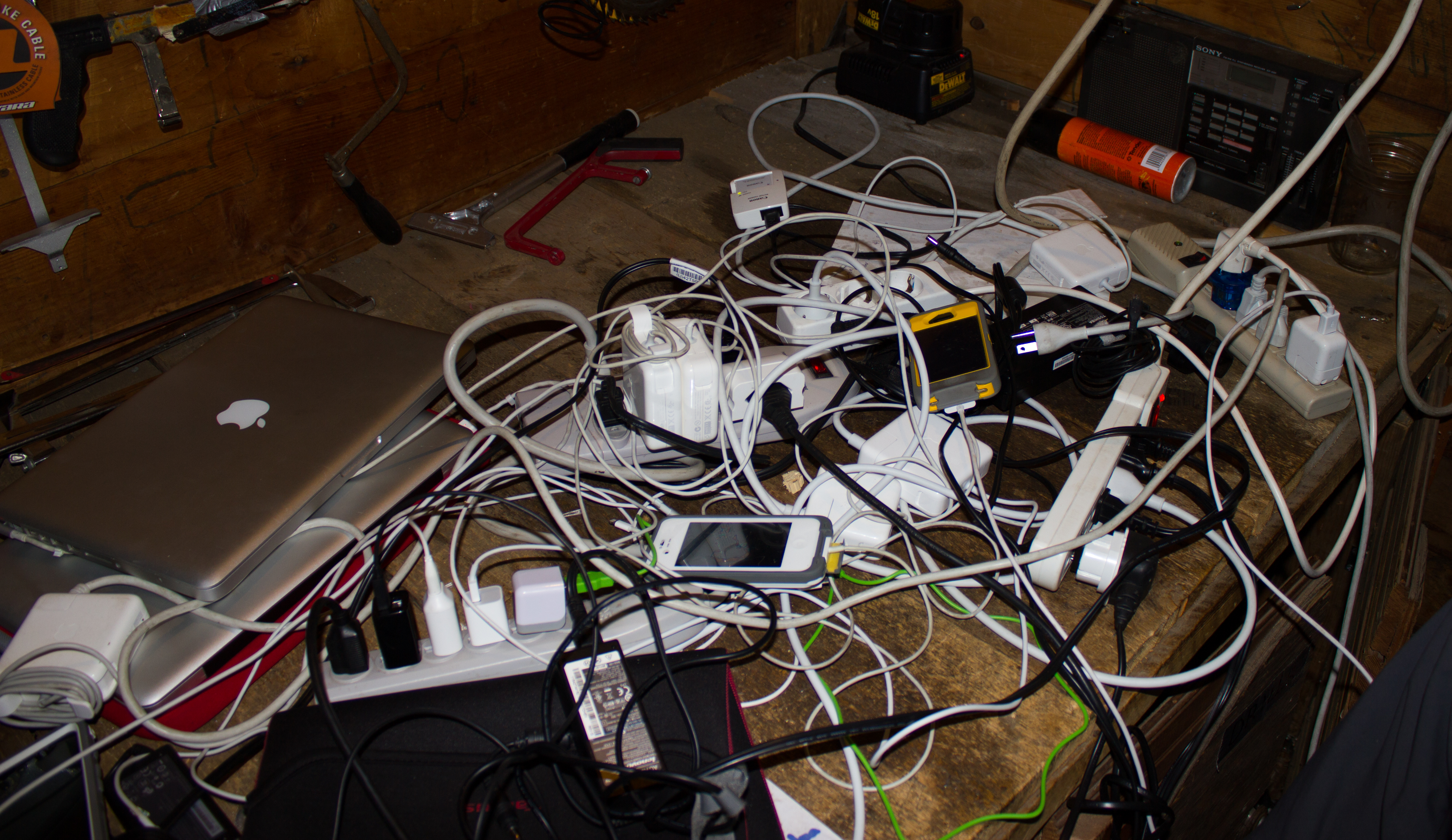
Outlets were a commodity when power was available.
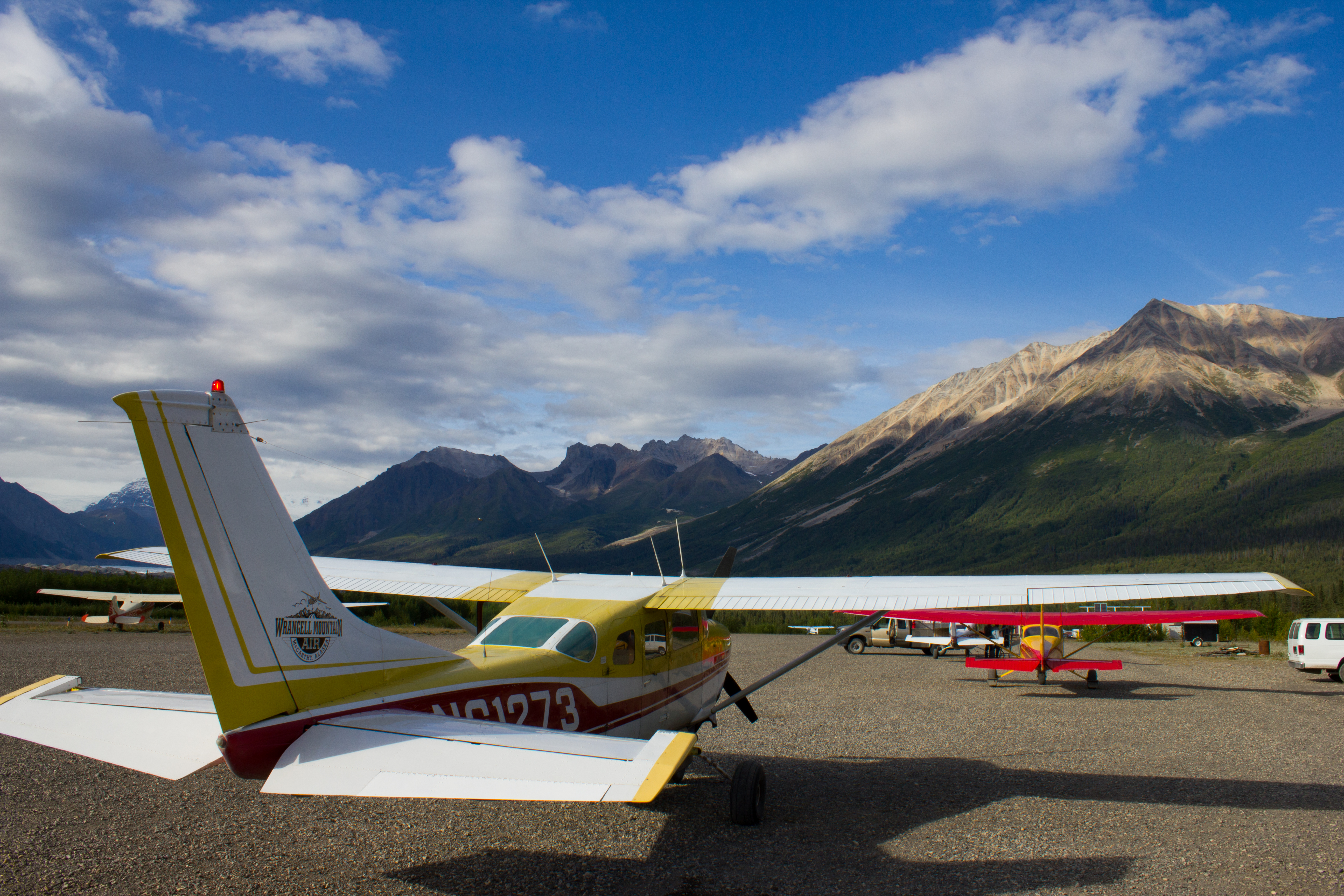
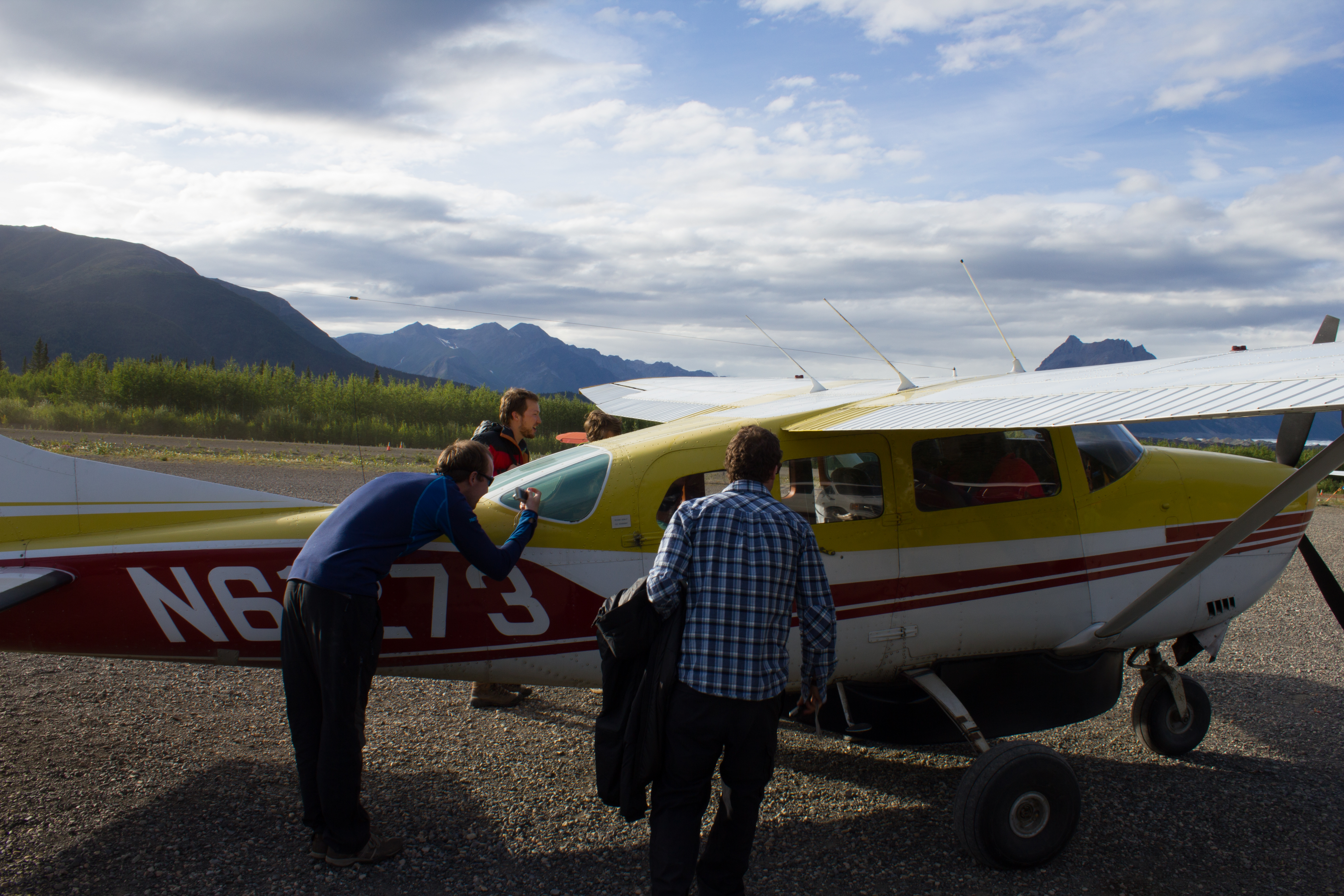
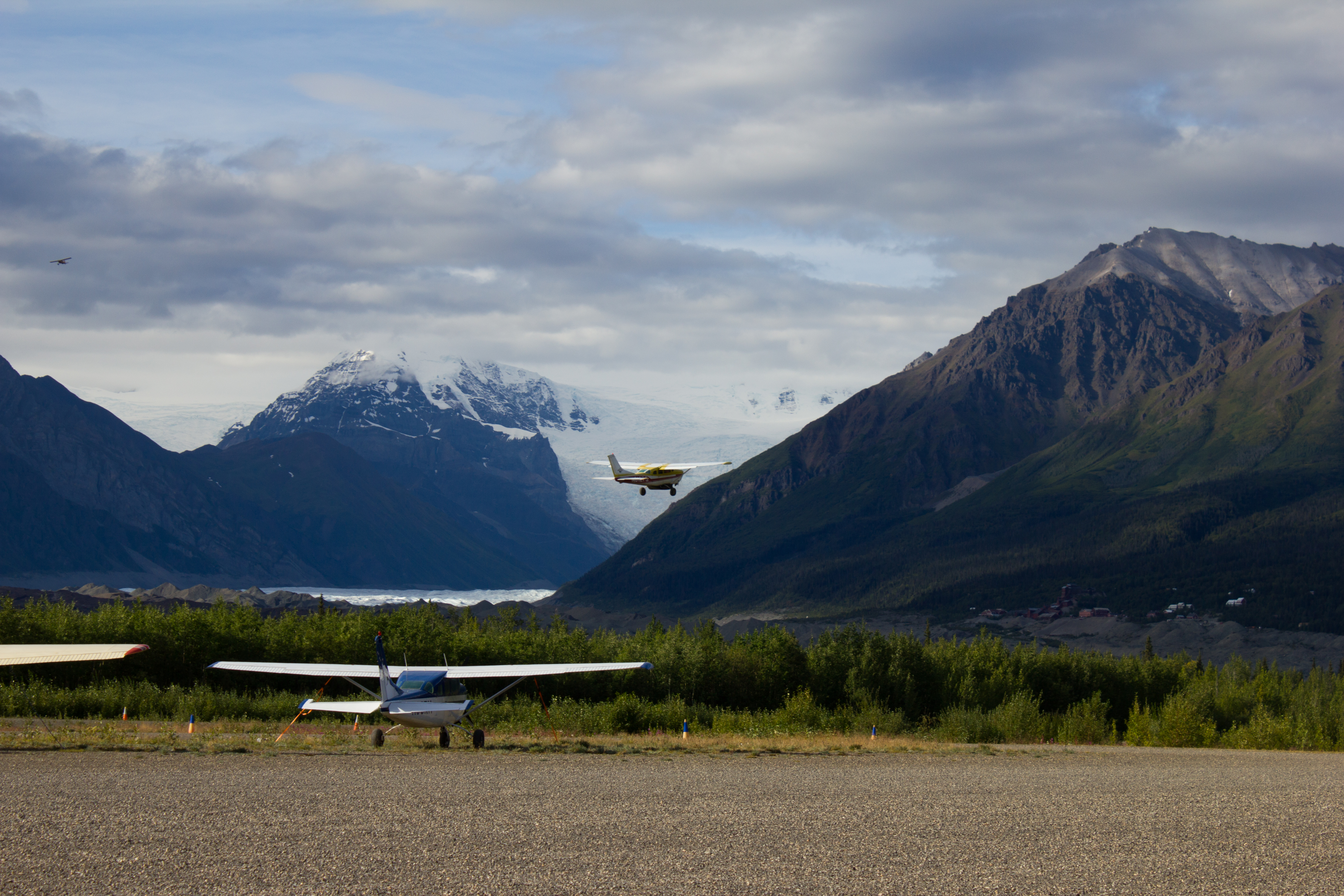
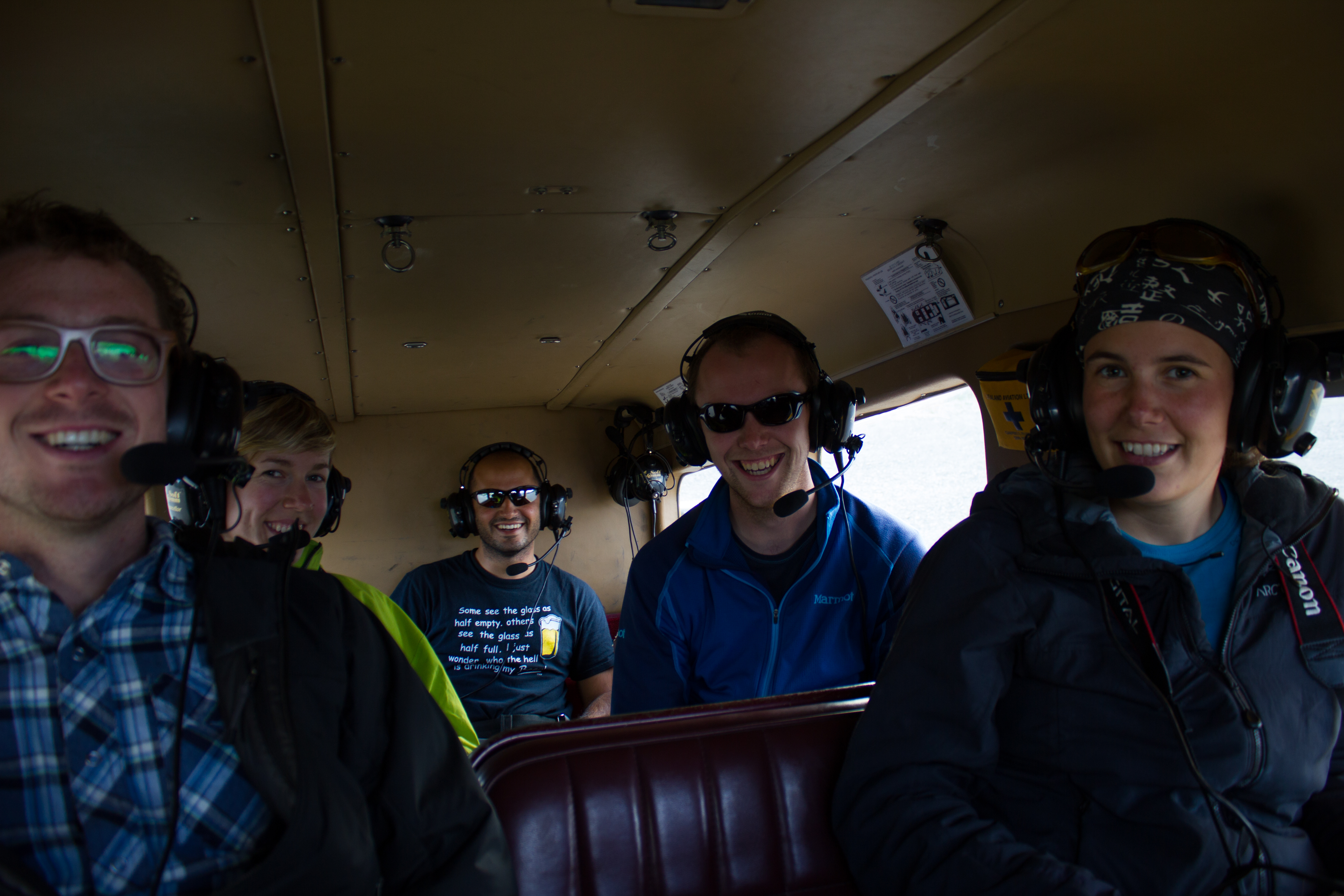
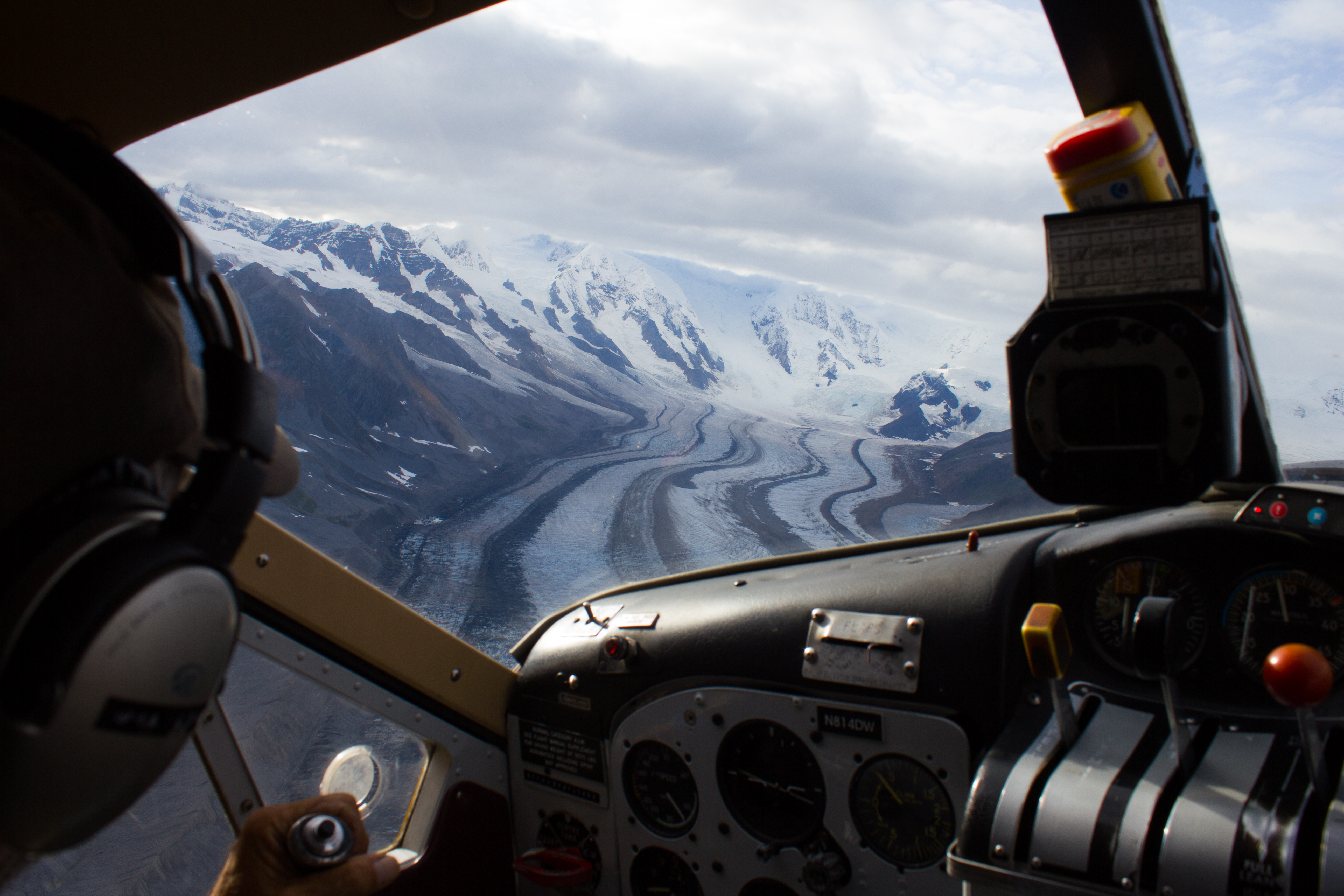
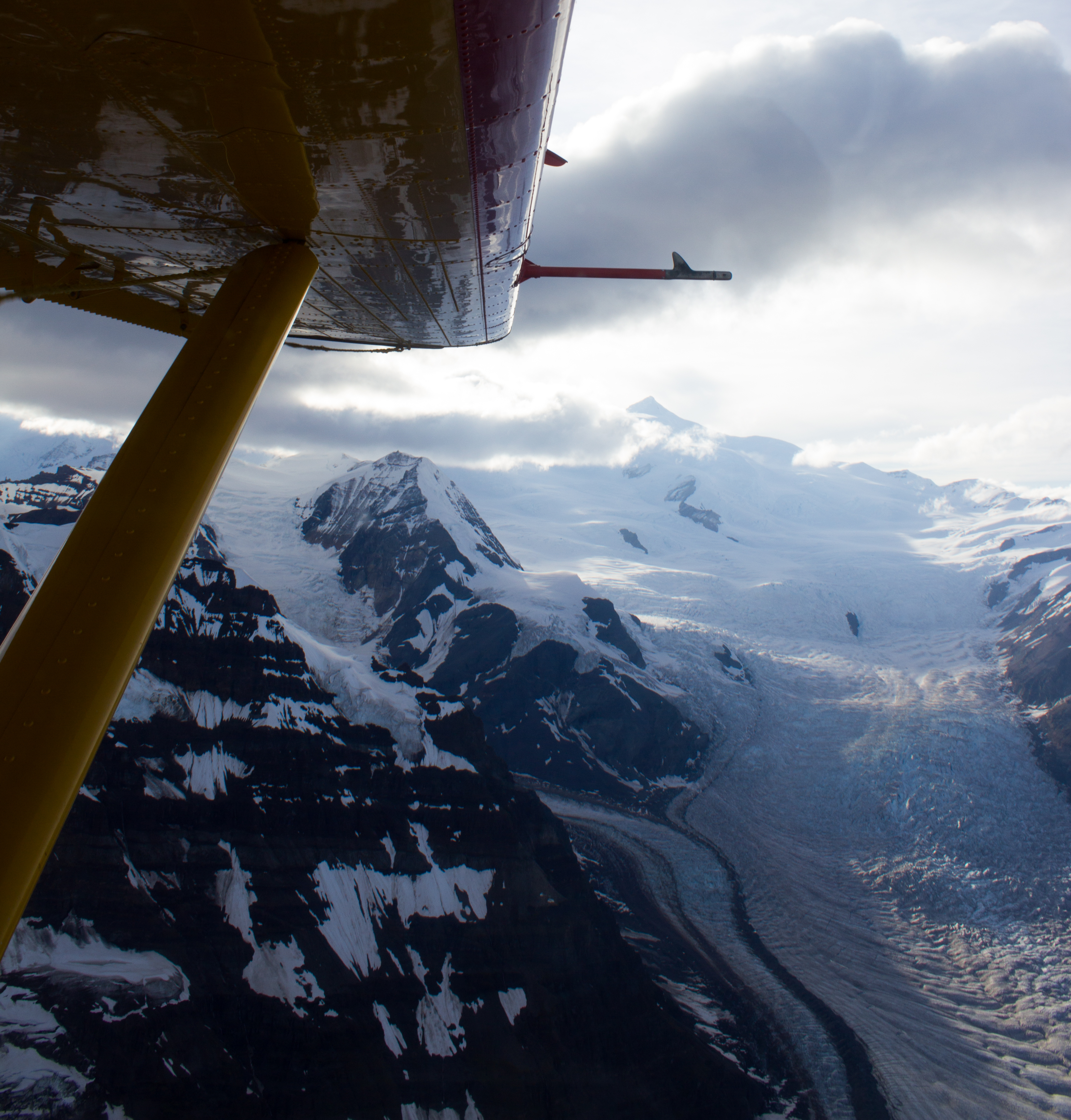
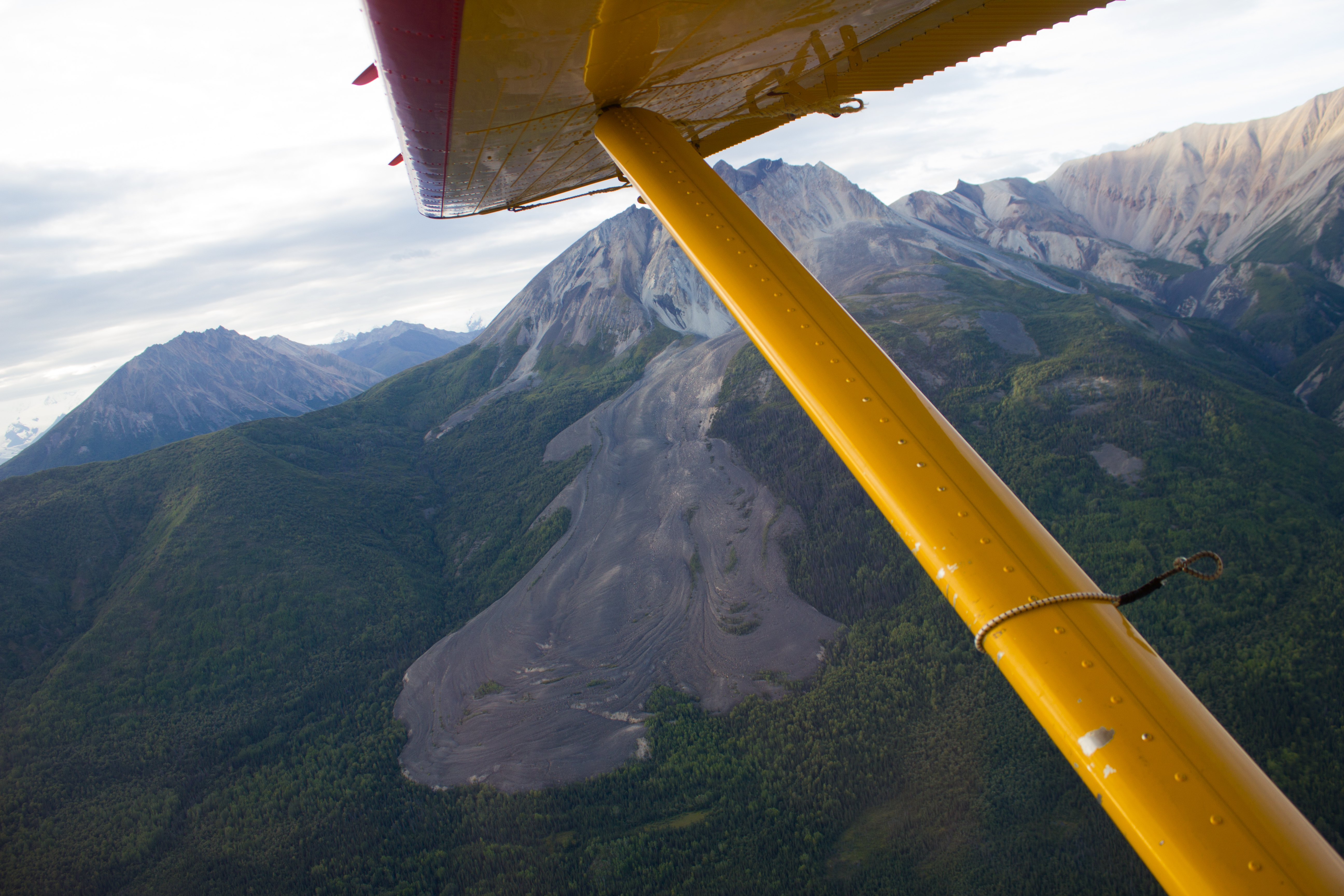
A group of us took advantage of the landing strip in McCarthy, and arranged a flight over the surrounding glaciers and mountains.
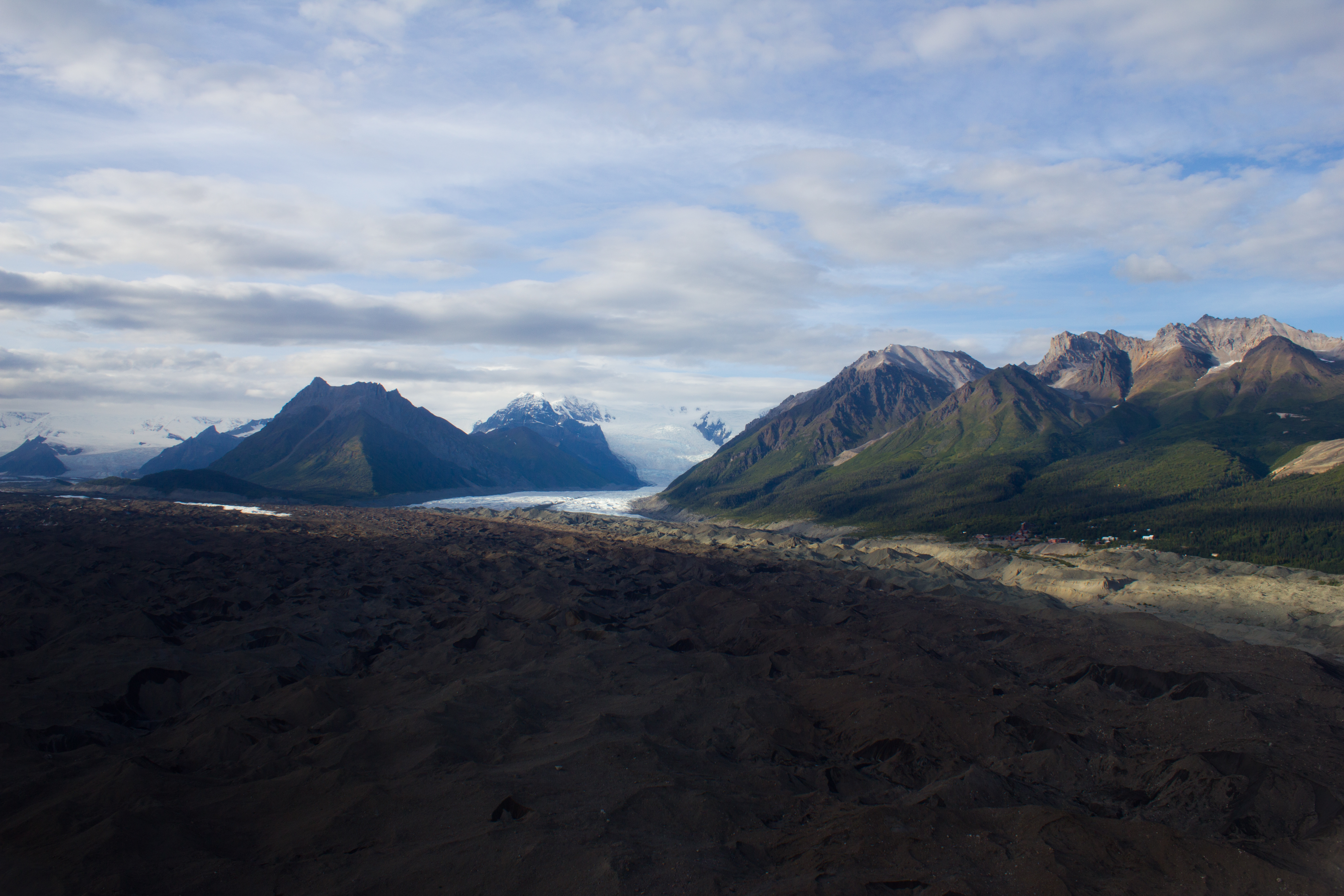
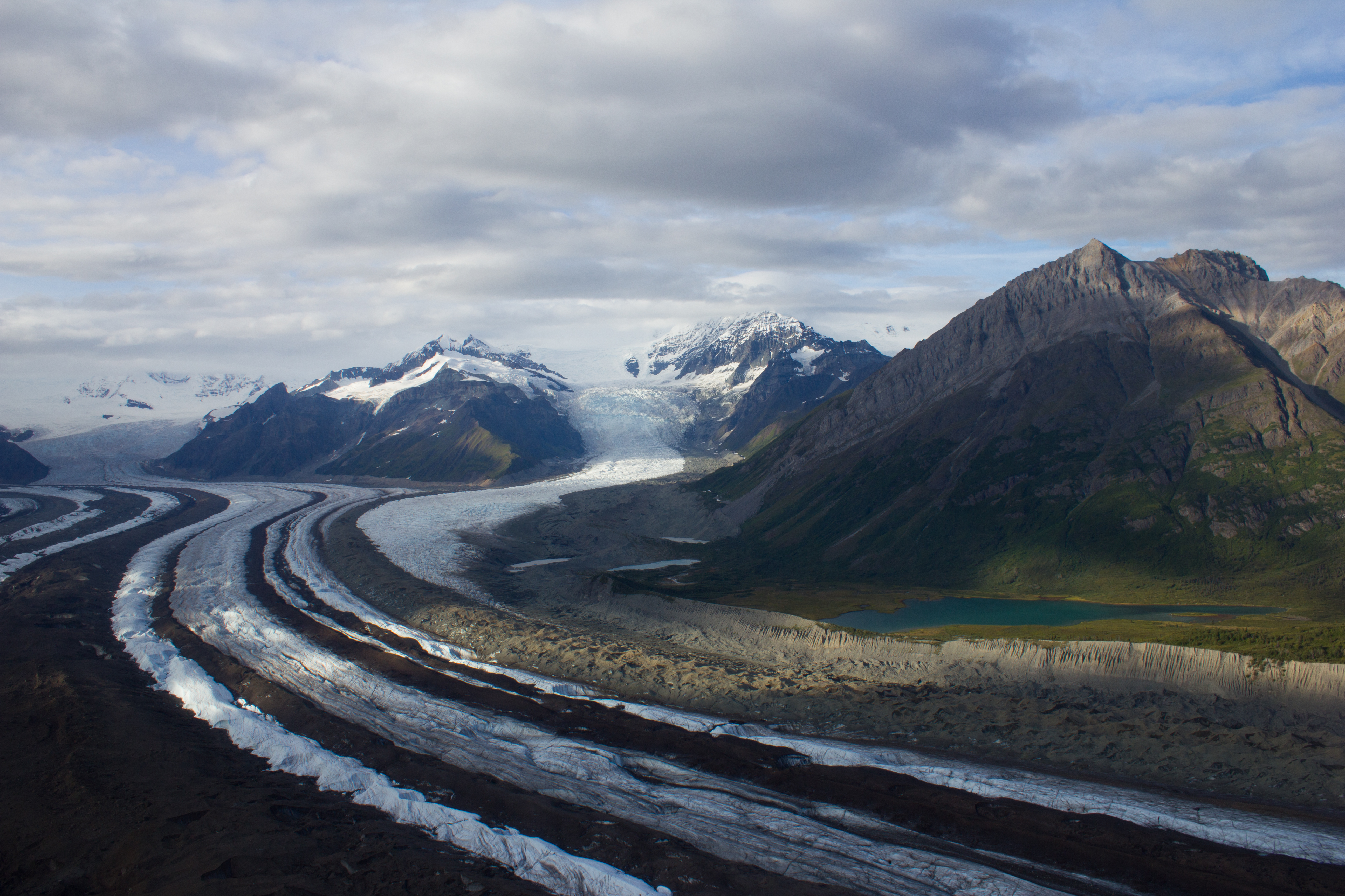
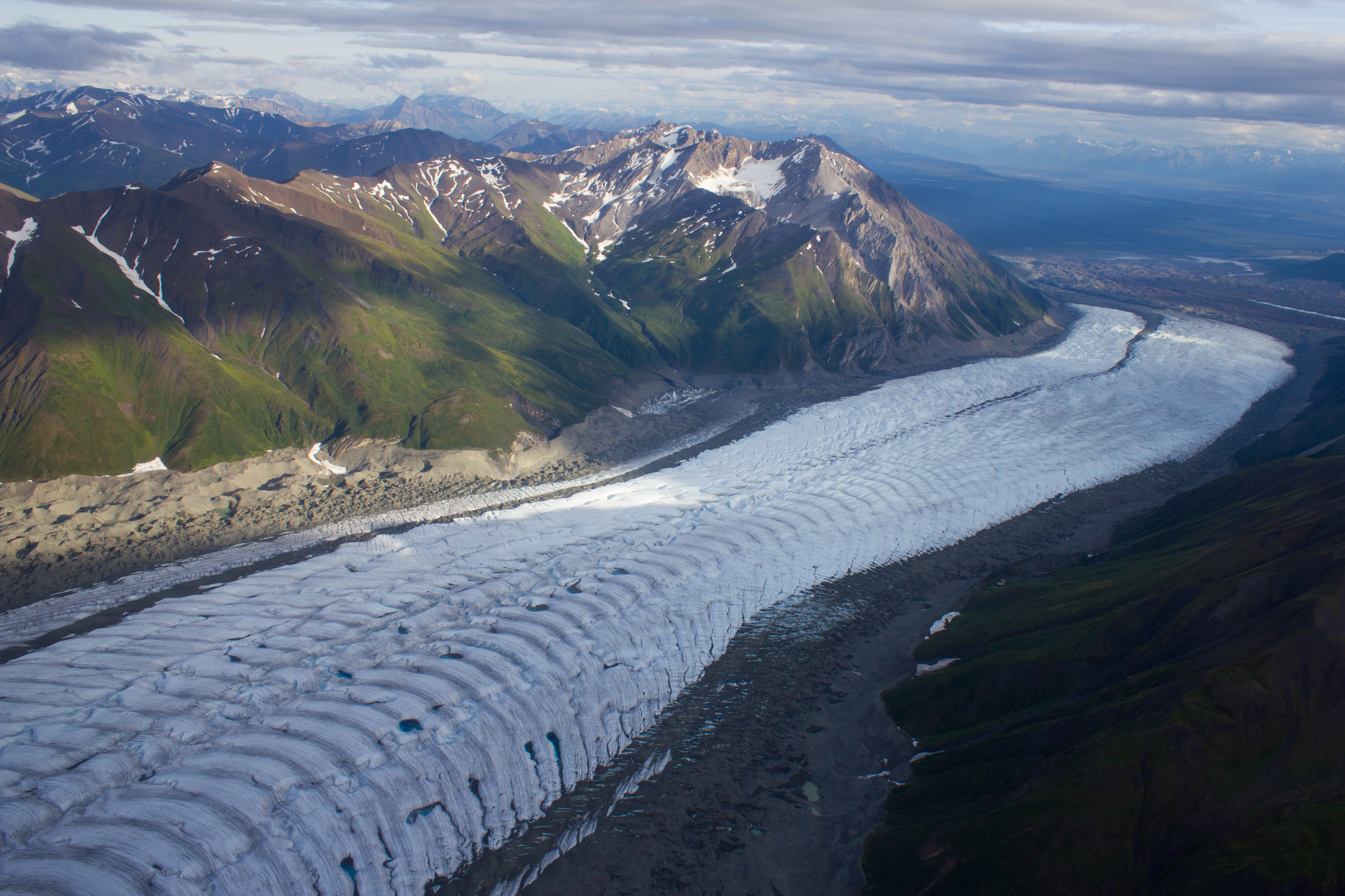
The debris covered terminus of the Kennicott glacier. The village of Kennicott can be seen along the right margin.
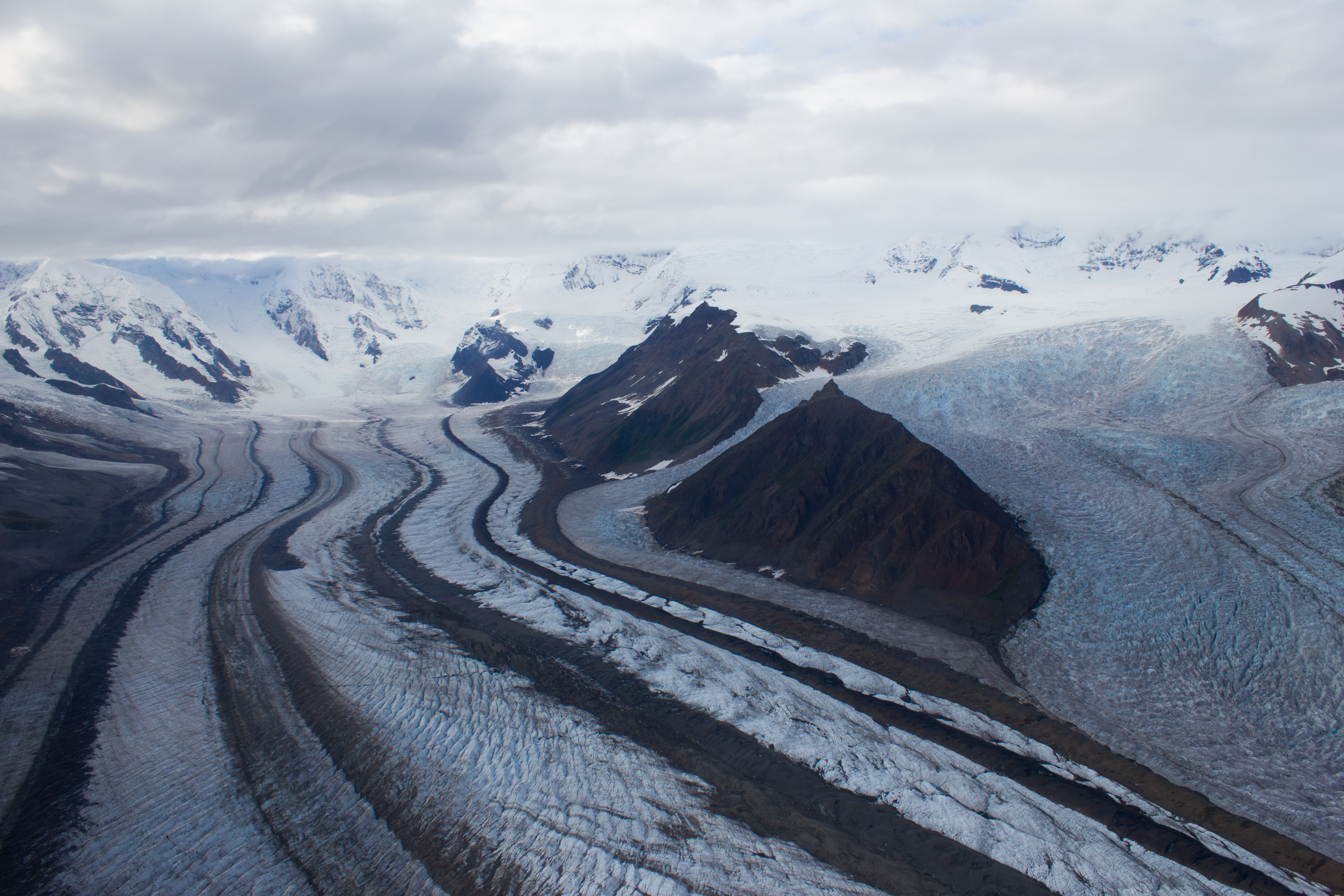
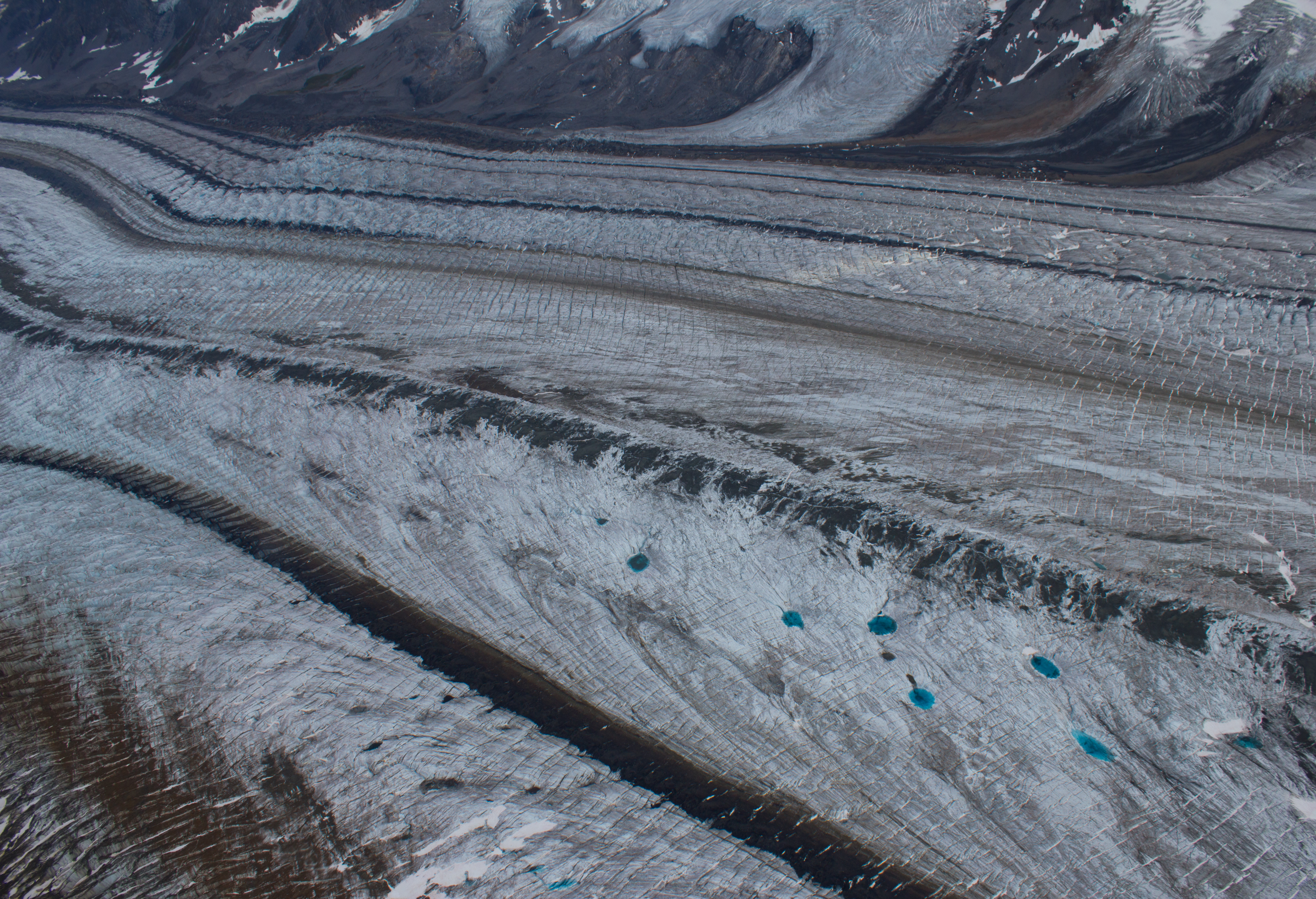
Further up the Kennicott, medial moraines are visible as dark bands on the surface, and are formed by the merging of several tributary glaciers (and their lateral moraines).
Medial moraines and incredibly blue melt water pools.